


Loop on the Derin trail and Globojner Park
Úroveň obtížnosti: T1
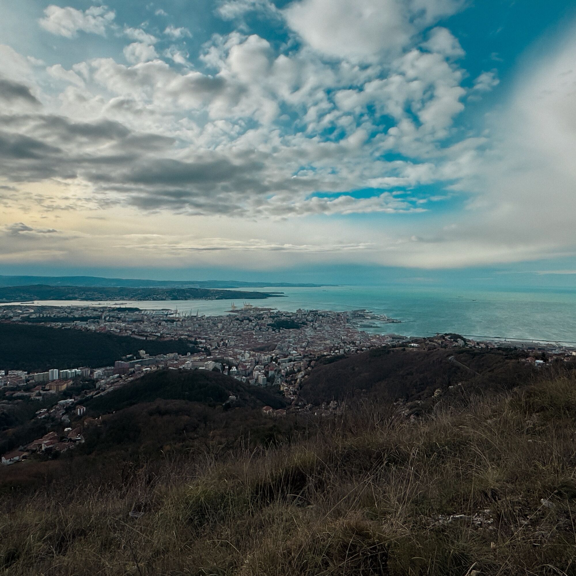
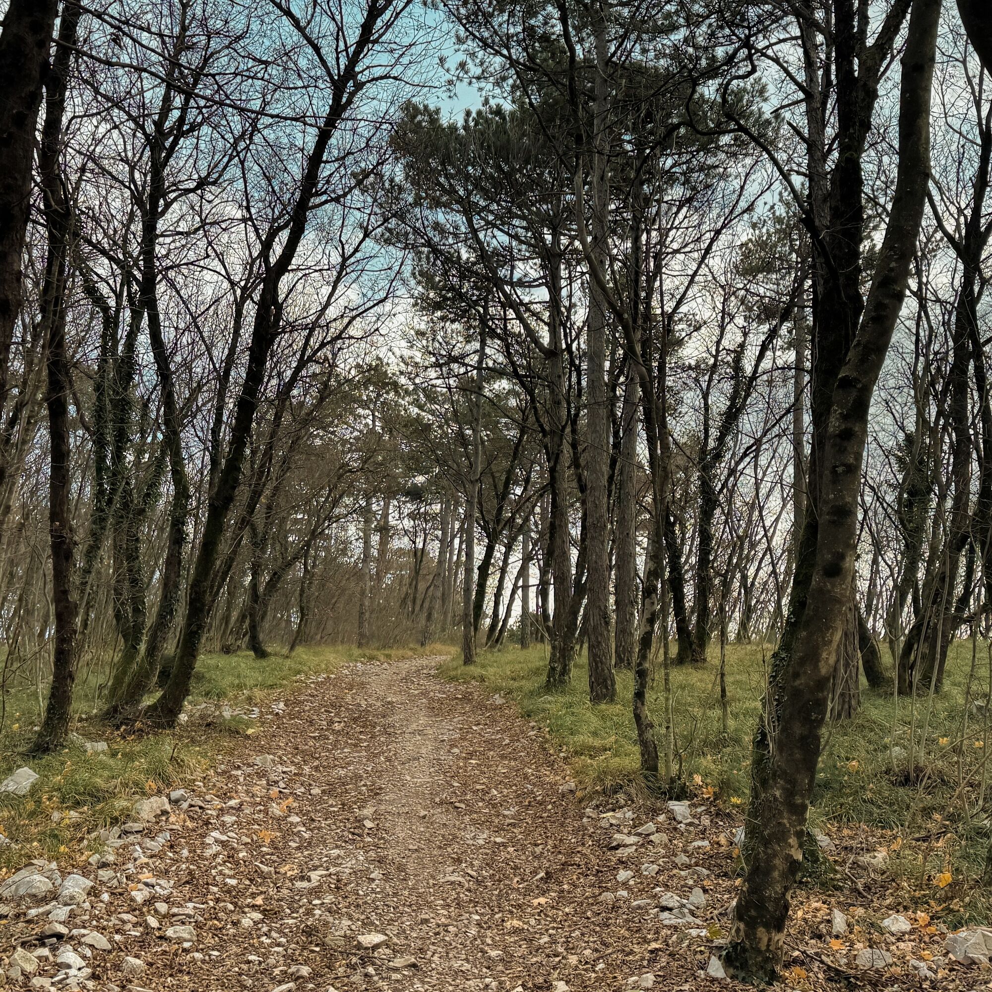
A walk suitable for everyone that winds through this park alternating between the typical karst moorland and the more lush forest vegetation. The wide and well-marked trails ensure that this loop route...
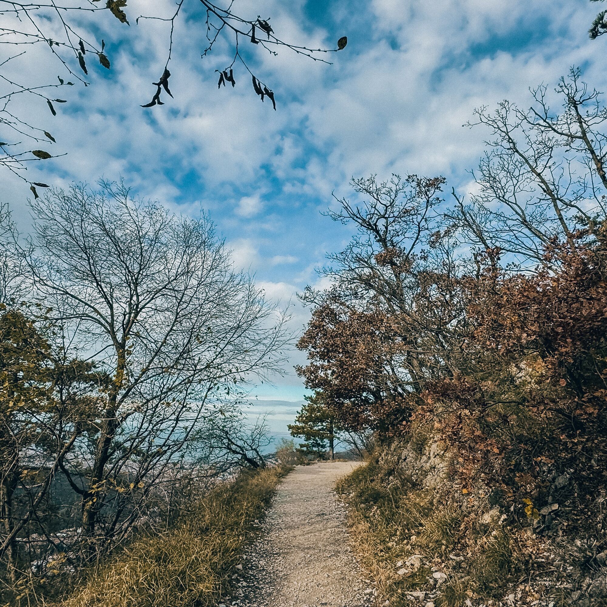
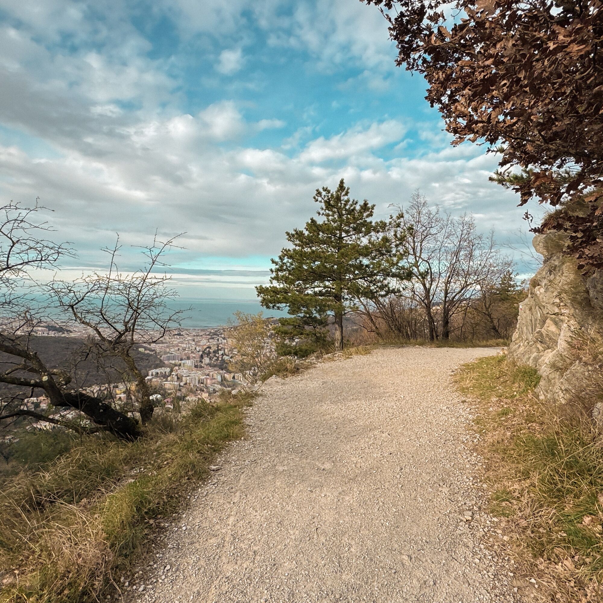
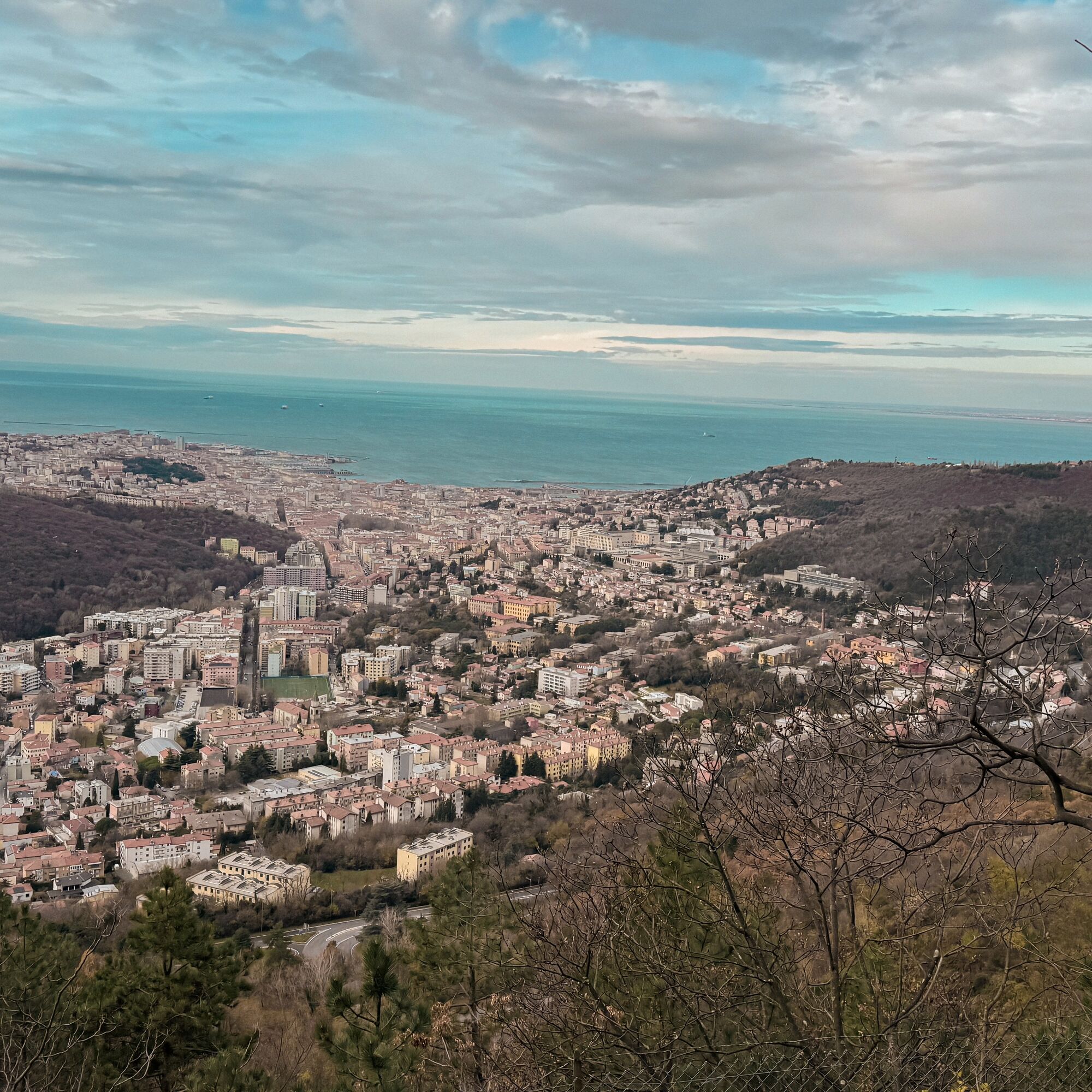
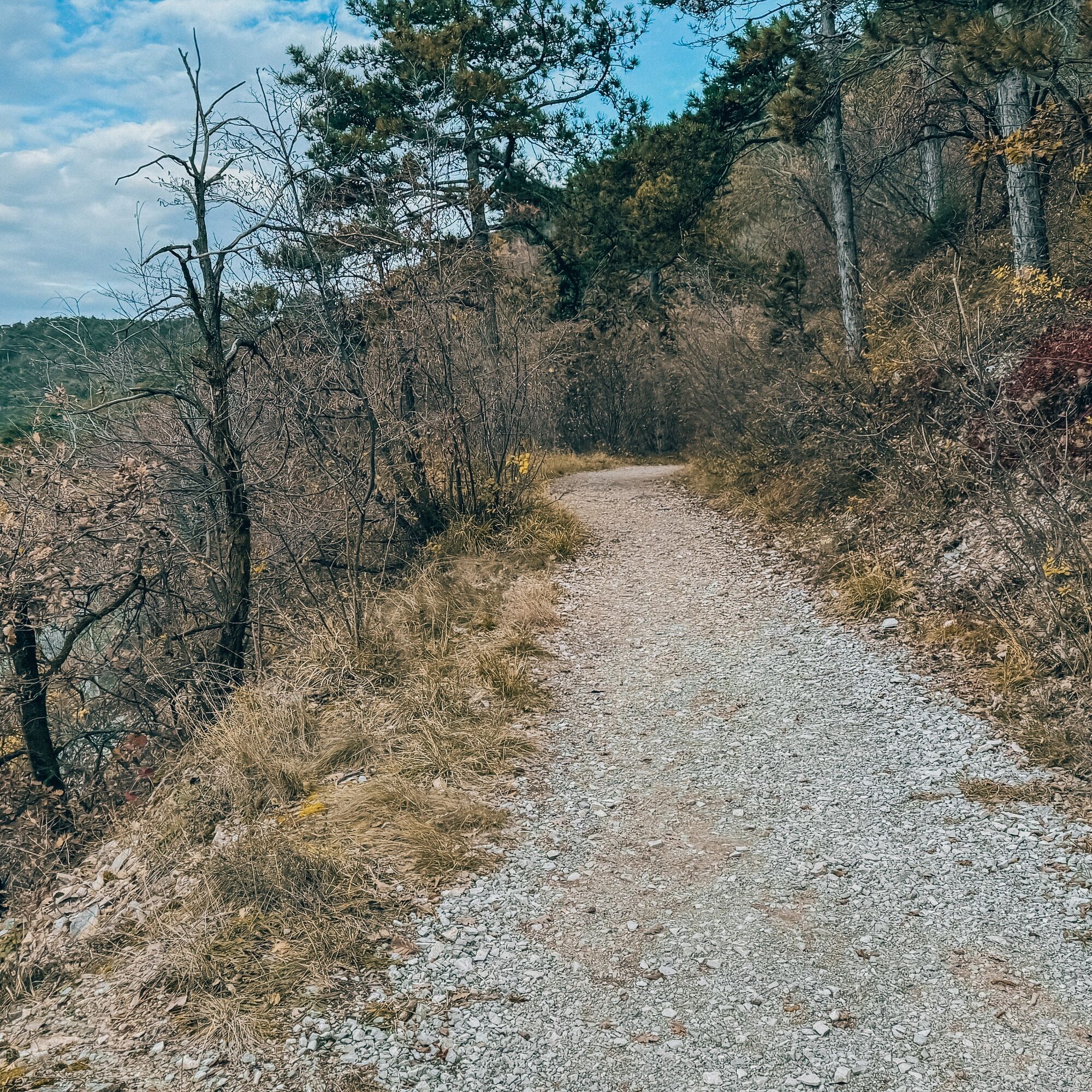
A walk suitable for everyone that winds through this park alternating between the typical karst moorland and the more lush forest vegetation. The wide and well-marked trails ensure that this loop route is pleasant and not difficult despite the various ups and downs that lead the hiker to discover both the landscape and the wide views opening onto the city below and the Gulf. For animal lovers, this route is particularly recommended both for the opportunity, with some discretion and luck, to spot wildlife and for the presence of grazing sheep and donkeys.


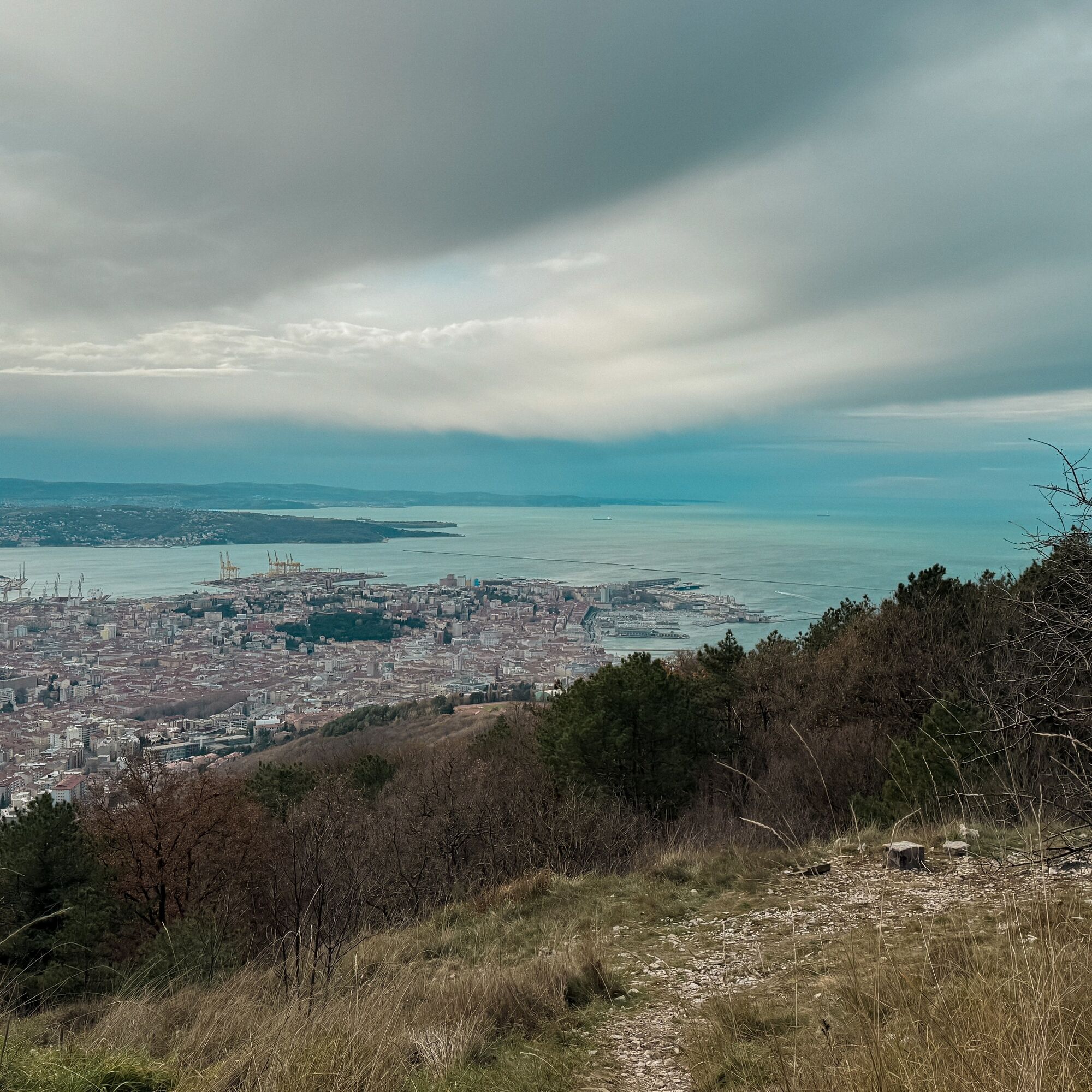
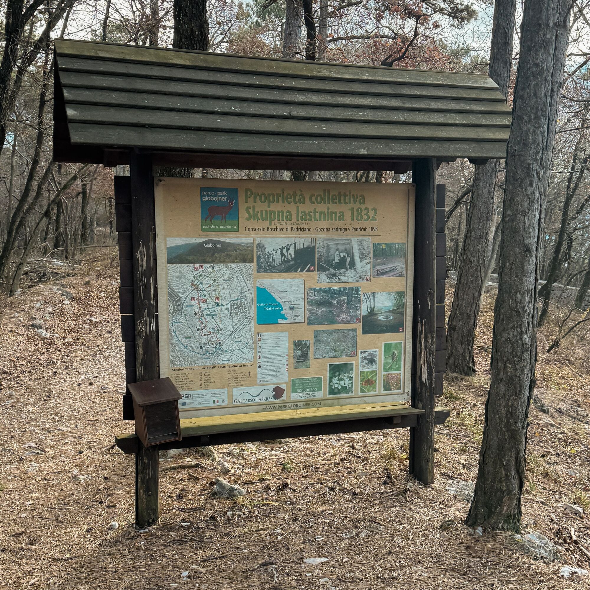
Starting from the parking lot, take the Derin trail and continue along it towards the Faccanoni Quarry. Continue further along the same trail also used by the Alpe Adria Trail, then turn right, always following the Derin trail, towards Monte Belvedere and then right again along the CAI 1 trail towards the Trebiciano pass. Here continue towards Monte Calvo (Globojner), passing it and continuing on the same trail until returning to the starting point.
Ano
Ano
Trekking shoes and clothing, packed food and drinks, trekking poles.
In the summer season, take into account the possibility of high temperatures and sections with little shade.
Bus Line 51 (Trieste)
Parking in front of the park entrance
T1
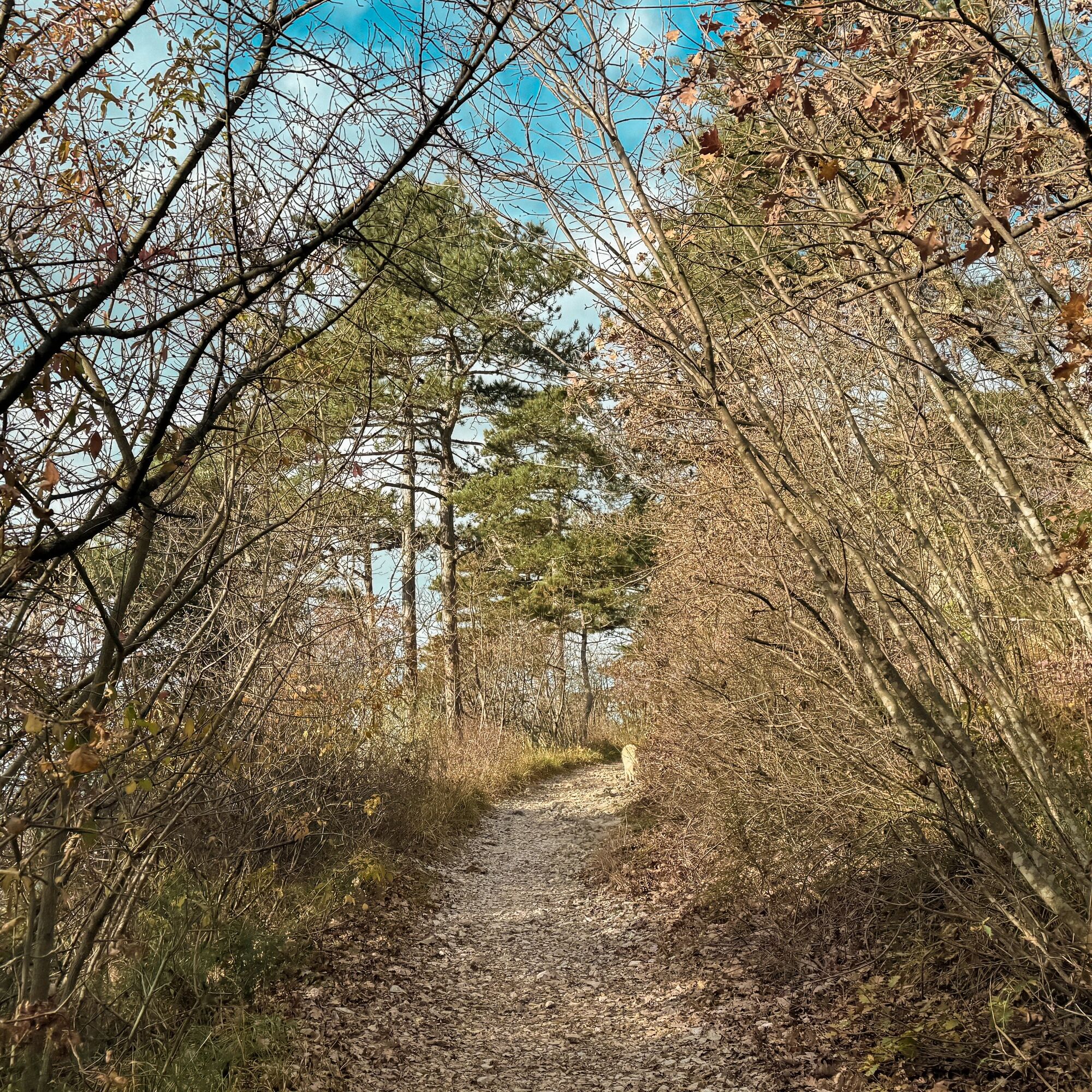
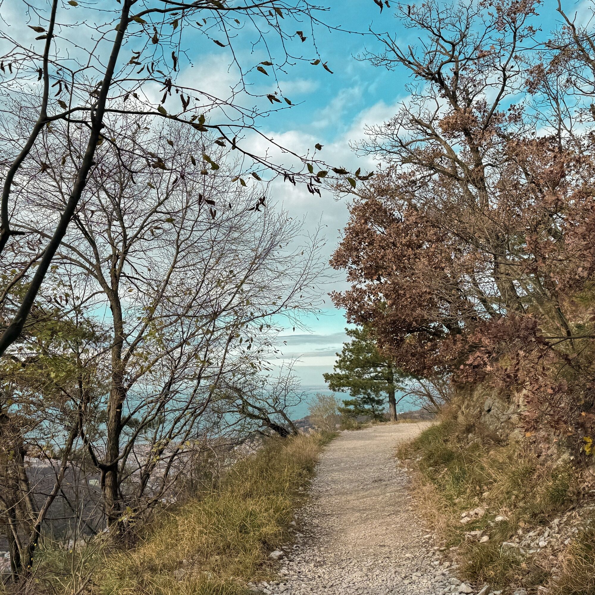
Particularly recommended in the autumn period when the foliage makes the route especially spectacular.


Oblíbené prohlídky v okolí
-
5.0
Val Rosandra Rundwanderung
středníTuristika 8.06 km -
4.6
Triest-Opicina (Obelisk) nach Prosecco
světloTuristika 4.28 km -
5.0
Val Rosandra,San Dorligo della Valle, kleine Runde
středníTuristika 7.42 km -
Dall’obelisco di Opicina ad Aurisina, lungo il ciglione carsico
dálková pěší trasa 16.8 km -
AAT Etappe 36 Lipica-Bagnoli della Rossandra
středníTuristika 17.5 km -
The Mount Lanaro Loop Trail
středníTuristika 7 km -
Da San Bartolomeo ai laghetti delle Noghere
dálková pěší trasa 13.8 km -
Visit the shores of Adriatic sea
světloSilniční kolo 35.1 km -
Etappe 37 Alpe Adria Trail
světloTuristika 18.2 km -
Lipizza Živa
světloMountainbike 26.2 km

Pěší turistika a stopování


Nenechte si ujít nabídky a inspiraci pro vaši příští dovolenou
Vaše e-mailová adresa byl přidán do poštovního seznamu.