


The Mount Lanaro Loop Trail
The Mount Lanaro Loop Trail is a scenic route nestled in the nature of the Karst, ideal for people who enjoy discovering untouched wilderness and the unique sights on the border between Italy and Slovenia....
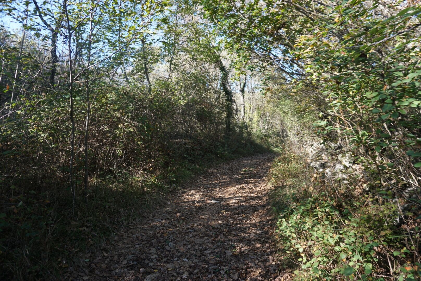
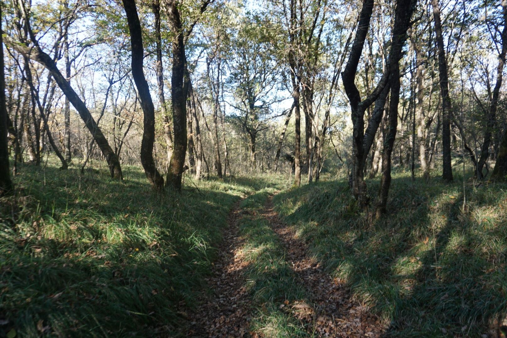
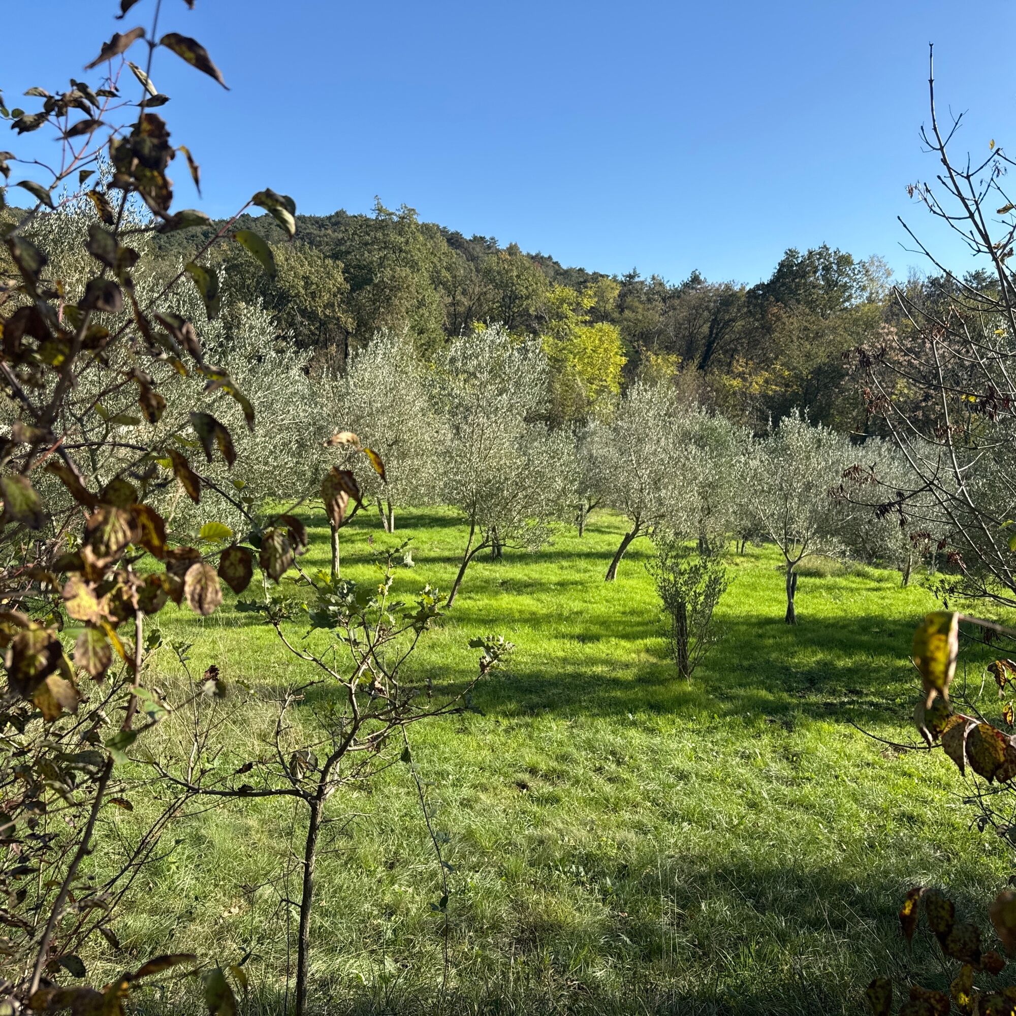
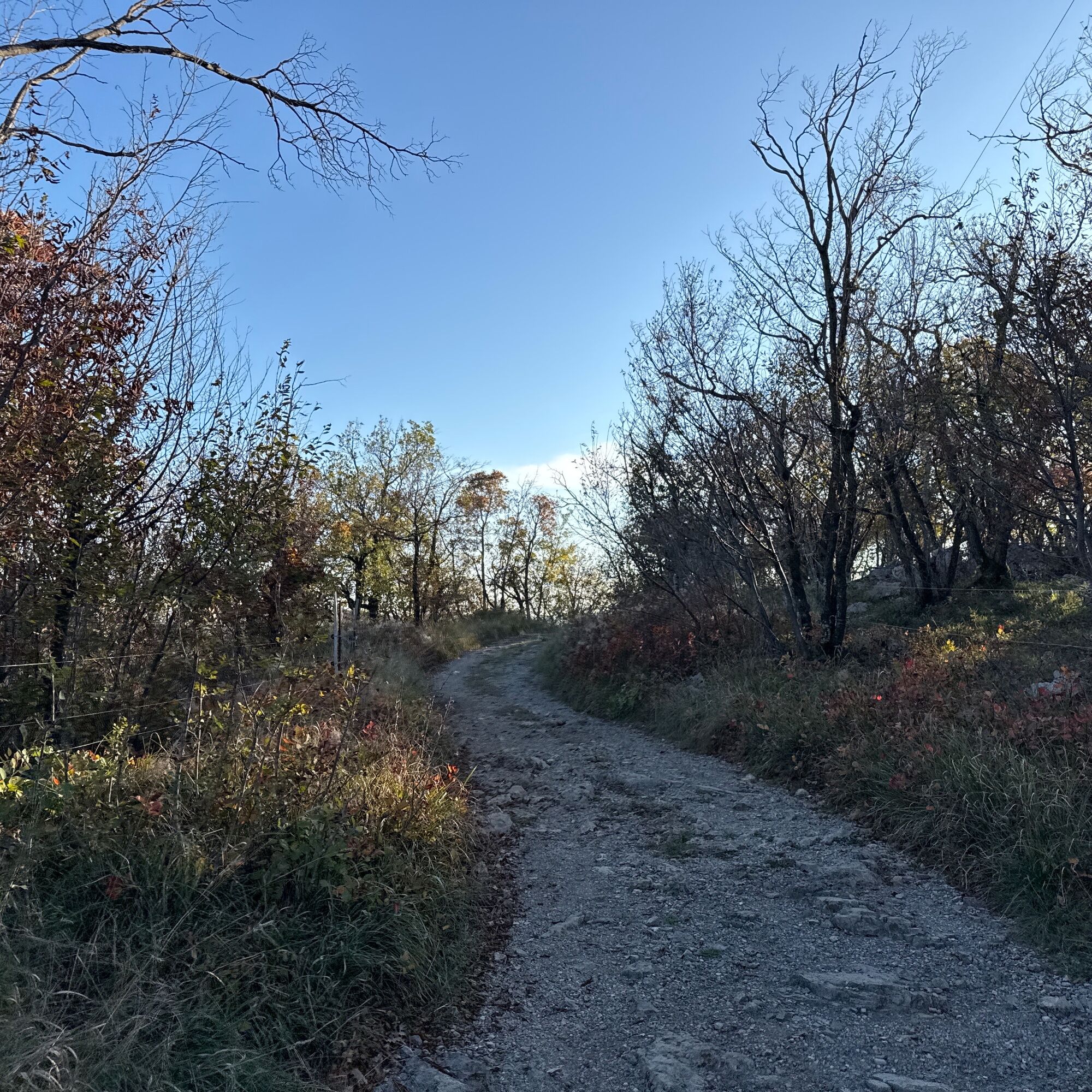
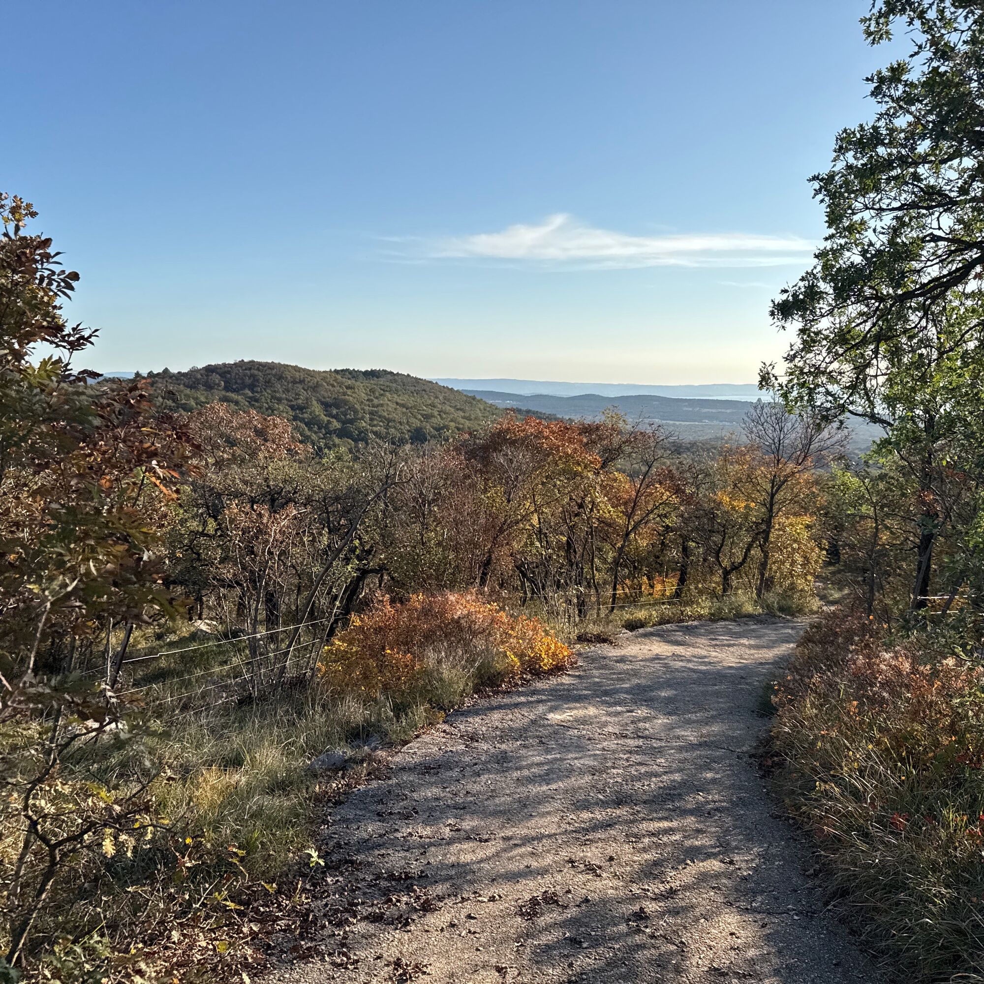
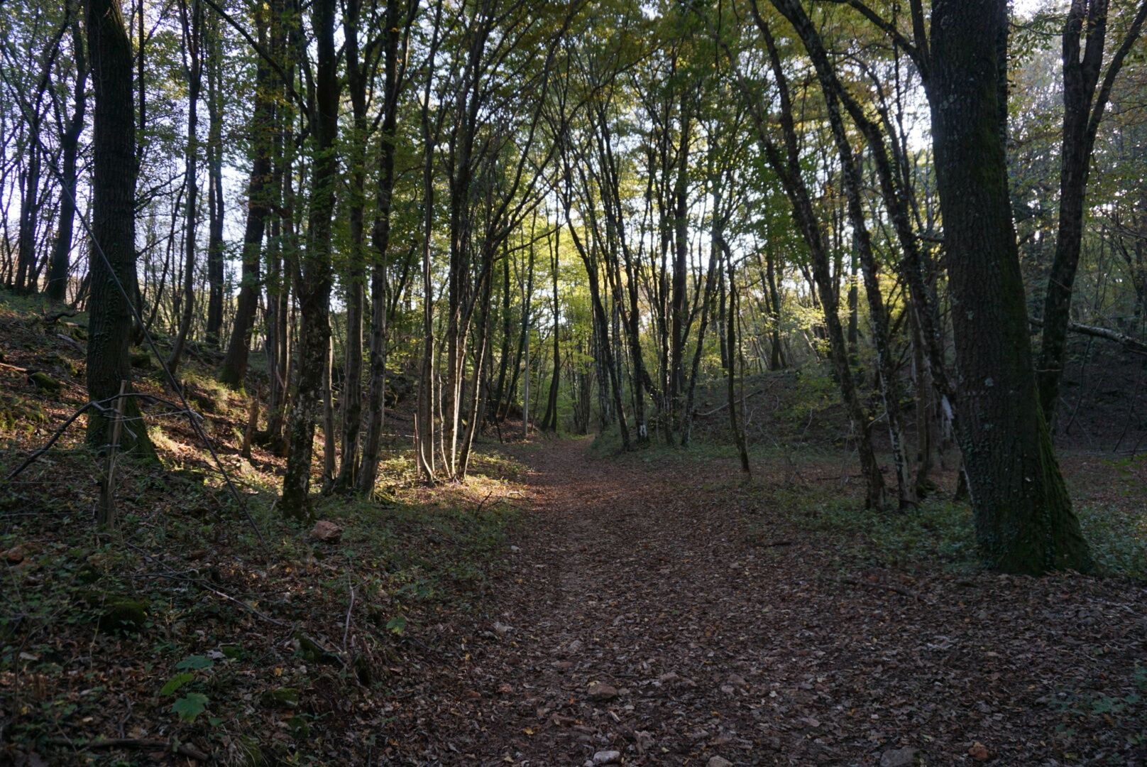
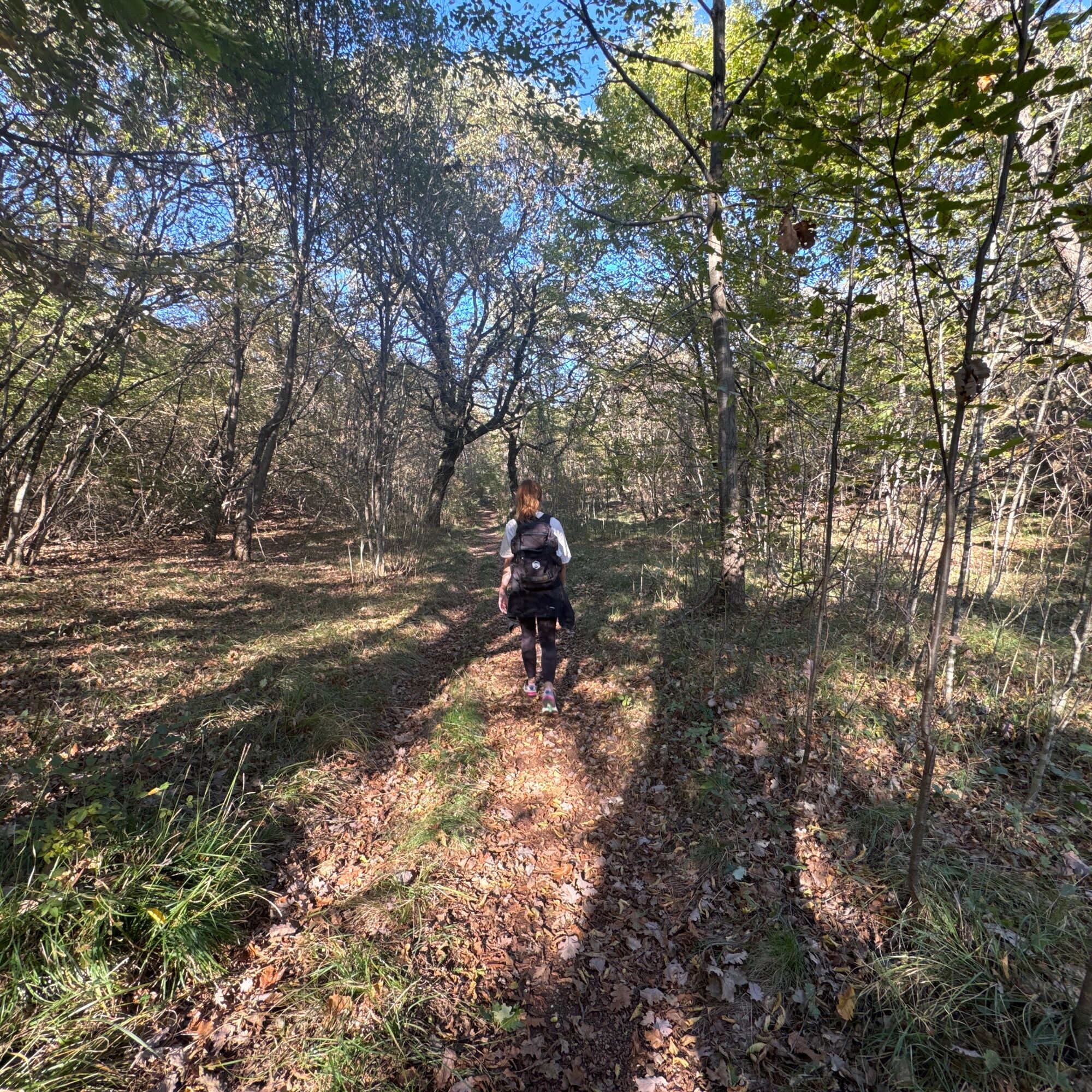
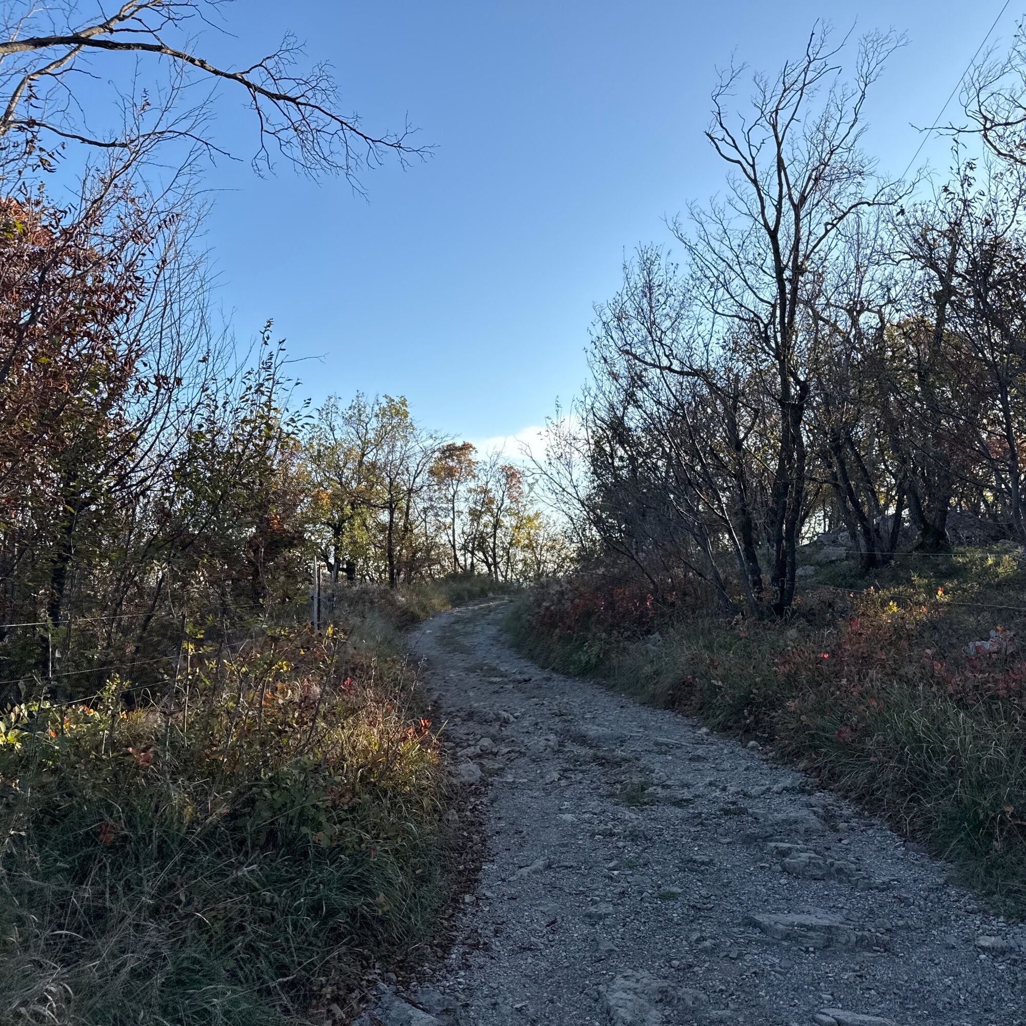
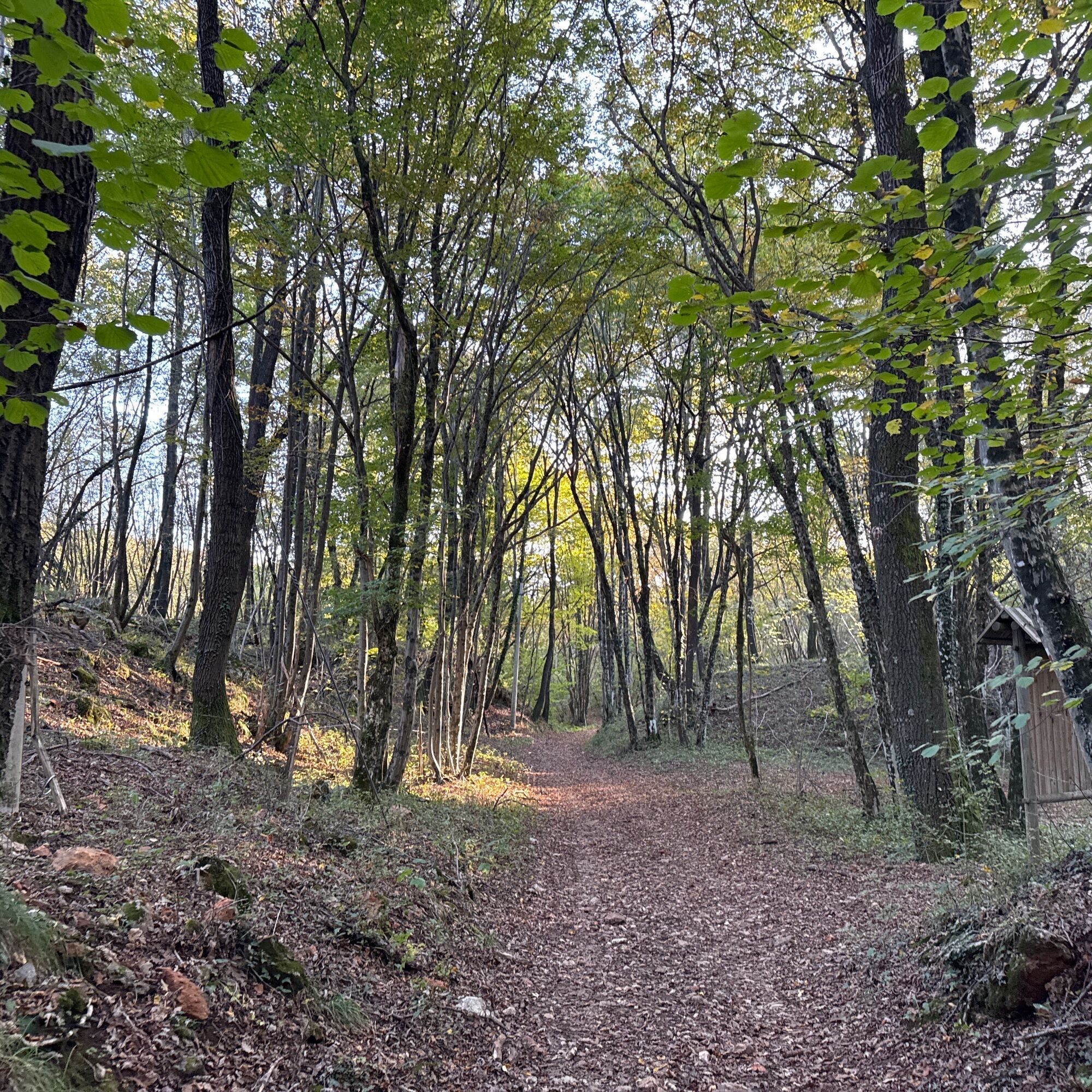
The Mount Lanaro Loop Trail is a scenic route nestled in the nature of the Karst, ideal for people who enjoy discovering untouched wilderness and the unique sights on the border between Italy and Slovenia. The trail follows a circular route that takes visitors through oak woods, karst meadows and rocky outcrops typical of the area, with vegetation that changes with the seasons. The highlight is the summit of Mount Lanaro, which offers spectacular views from the Julian Alps to the Adriatic Sea. The gradient is moderate, making the route accessible to medium-level hikers, while the variety of landscapes and the peaceful environment make it perfect for a refreshing day in the open air. The route is well signposted and easy to follow.


Once in the village, follow the signs for the "Mount Lanaro" hiking trail. Once you have reached the start of the route, follow the CAI Trail No. 003 to the summit, then take Trail No. 005, following the signs for Rupinpiccolo until it rejoins the CAI Trail No. 003, which leads back to the starting point.
Ano
Ano
Ano
Sturdy footwear (for gravel roads), long trousers, a good water supply, packed food and trekking poles.
Please be sure to bring a sufficient supply of food and water because there are no refreshment or water supply points along the route.
From the city centre of Trieste take the State Road SS 14 towards Opicina and then proceed along road E20 towards Venice. Take the exit for Prosecco and continue straight along the Municipal Road to Prosecco Station and at the junction with the Provincial Road SP 29A to the centre of the town.
Bus No. 46 from Piazza Oberdan (city centre of Trieste) or from Aurisina (city centre).
Parking areas are available along the regular road network.
Always check the weather conditions before starting the walk.
The circuit is accessible all year round, but in autumn, the colours of the forests create a truly captivating and breathtaking backdrop.
Oblíbené prohlídky v okolí
-
4.9
Rilkeweg
světloTuristika 6.19 km -
4.6
Triest-Opicina (Obelisk) nach Prosecco
světloTuristika 4.28 km -
4.0
Loop on the Derin trail and Globojner Park
středníTuristika 7.36 km -
Dall’obelisco di Opicina ad Aurisina, lungo il ciglione carsico
dálková pěší trasa 16.8 km -
Lipizza Živa
světloMountainbike 26.2 km -
5.0
Nature trail no. 9
středníTuristika 1.88 km -
Loop on the Josef Ressel Trail and the Imperial Road
světloTuristika 3.38 km -
A nature walk on Mount Ermada
světloTuristika 4.93 km -
Rosandra Tal mit Klettersteig (Bruno Biondi A-D, Rose D'Iverno A-C)
středníTuristika 9.84 km -
The Carsus Trail, Stage 4: Štanjel – Sesljan
střednídálková pěší trasa 23.6 km

Pěší turistika a stopování


Nenechte si ujít nabídky a inspiraci pro vaši příští dovolenou
Vaše e-mailová adresa byl přidán do poštovního seznamu.