







Troi dal Von loop at Forni di Sopra
The hike starts from the Varmost lifts parking lot, from where we descend towards the Tagliamento to cross the Sirai bridge; on the opposite bank we take a right and find the start of the Troi dal Von...
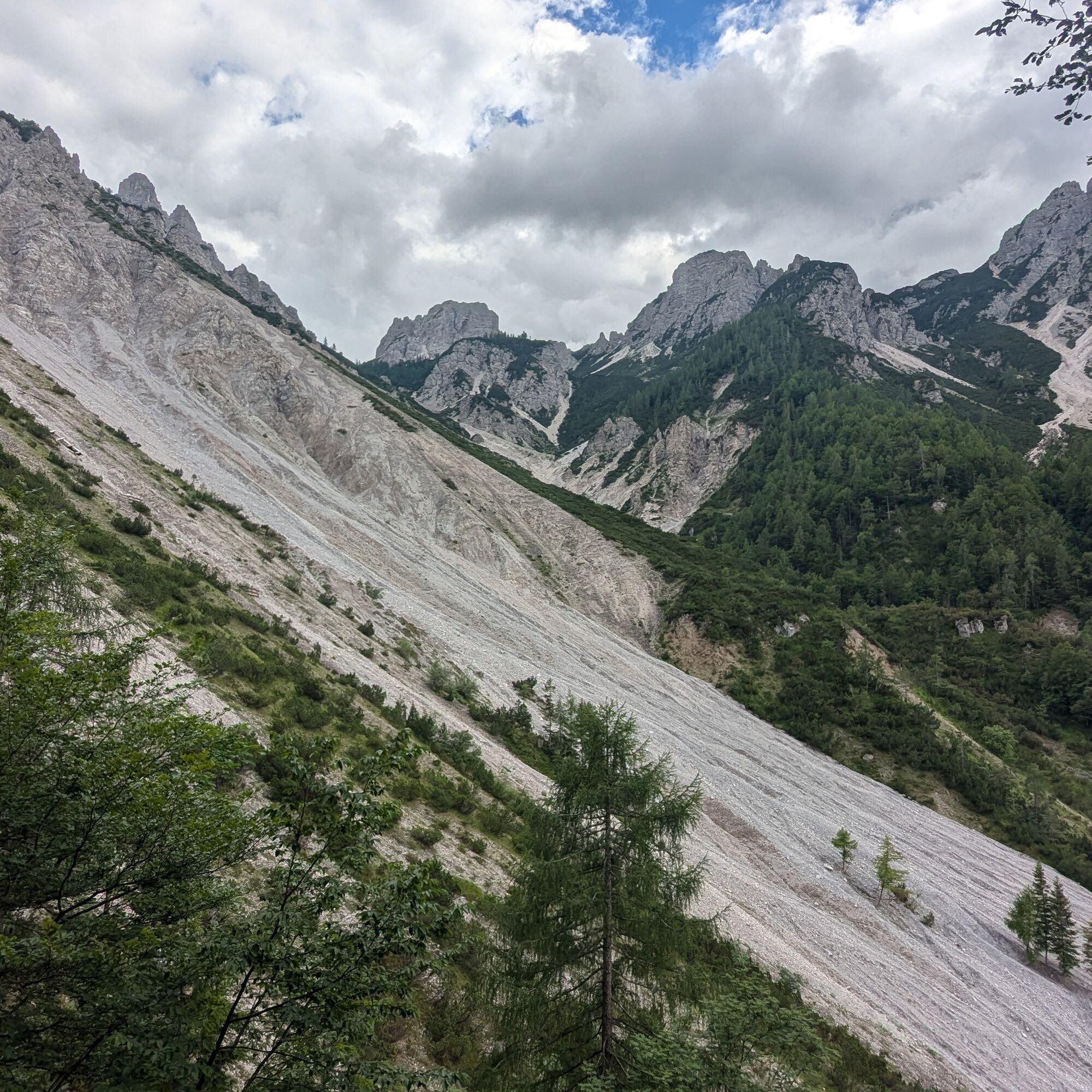
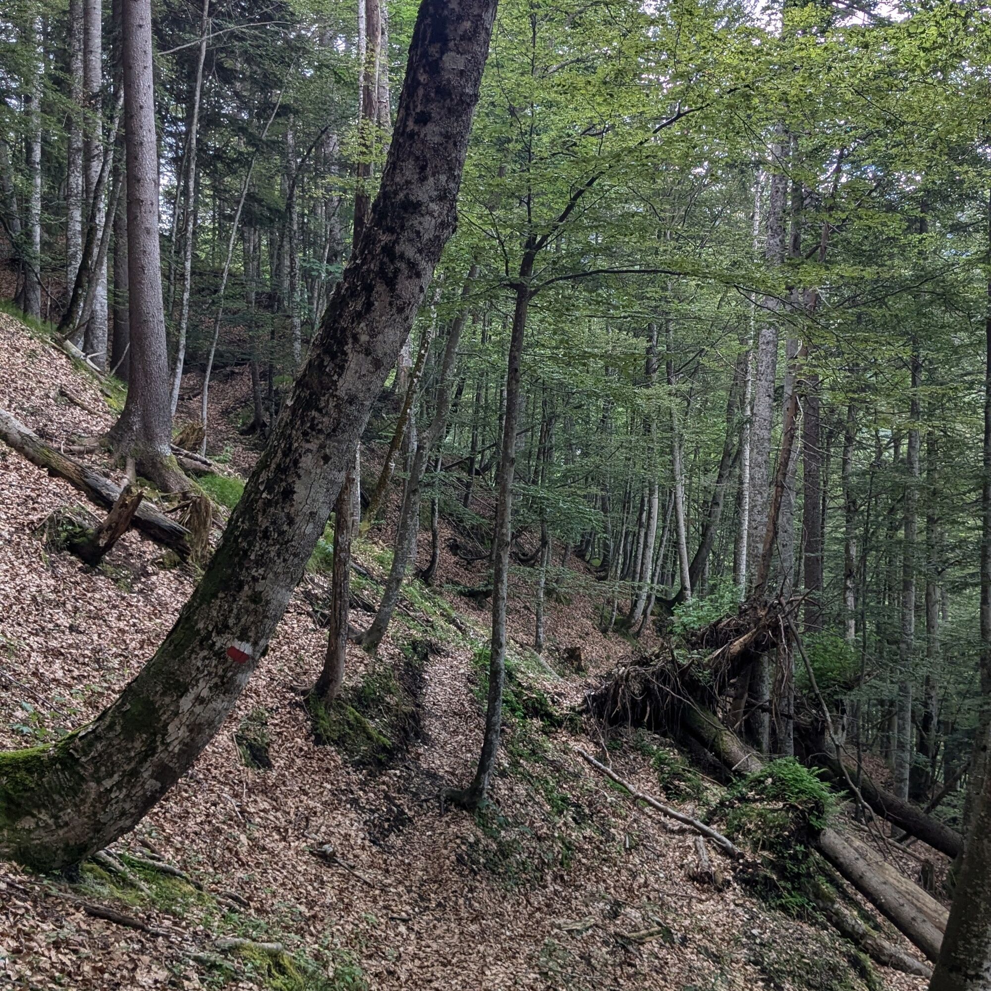
The hike starts from the Varmost lifts parking lot, from where we descend towards the Tagliamento to cross the Sirai bridge; on the opposite bank we take a right and find the start of the Troi dal Von (trail marker 371). We will faithfully follow this path, which alternates uphill sections with flat stretches, throughout the hike, passing through various viewpoints (on Cimacuta, the village of Forni di Sopra, the Giaf valley, the Varmost). The last viewpoint shows us the gravel flow of the Lavinal, where we descend to walk a section downhill and intercept the forest road that allows us to close the loop. Following this road downhill, we reach a fork that lets us choose whether to return to the parking on the left or right side of the Tagliamento. Choosing the latter, a comfortable beaten track brings us back to the Sirai bridge.




Ano
Ano
Normal hiking equipment
The hike is easy, but presents some points with slight difficulties, which may surprise because they are sudden compared to the pleasantness of the route.
It is recommended to complete the loop clockwise (as described), to tackle the overall incline more gradually.
Tested by Bagaglio Leggero
 Získejte přehled
Vždy živě na místě s více než 9 500 webkamerami. bergfex Jako uživatel Pro si nyní můžete zobrazit odpovídající webové kamery pro mnoho prohlídek v aplikaci prohlídky z. Můžete si tak přímo prohlédnout aktuální podmínky.
Získejte přehled
Vždy živě na místě s více než 9 500 webkamerami. bergfex Jako uživatel Pro si nyní můžete zobrazit odpovídající webové kamery pro mnoho prohlídek v aplikaci prohlídky z. Můžete si tak přímo prohlédnout aktuální podmínky.
Oblíbené prohlídky v okolí
-
5.0
Campanile di Val Montanaia a Bivacco Perugini
středníTuristika 2.76 km -
4.5
Tiziana Weiss nature trail
středníTuristika 9.23 km -
4.0
Mounts Bivera and Clap Savon from Casera Razzo, alpine ride
heavyTuristika 20.5 km -
Anello delle Dolomiti Friulane 3 Rifugio Pordenone - Rifugio Padova
středníTuristika 7.04 km -
Prstenec Friulských Dolomit z Forni di Sopra
střednídálková pěší trasa 34.7 km -
The multicolored campanili of Mount Zauf
středníTuristika 14.2 km -
5.0
Rifugio Flaiban Pacherini and Passo di Suola
středníTuristika 14.3 km -
Urtisiel and Canpuros, Dolomitic wonders
středníTuristika 13.5 km -
LONG LOOP ALONG THE TAGLIAMENTO RIVER
světloTuristika 10.2 km -
BIVACCO MARCHI-GRANZOTTO DA FORNI DI SOPRA
heavyTuristika 10.3 km

Pěší turistika a stopování


Nenechte si ujít nabídky a inspiraci pro vaši příští dovolenou
Vaše e-mailová adresa byl přidán do poštovního seznamu.





