






Rifugio Flaiban Pacherini and Passo di Suola
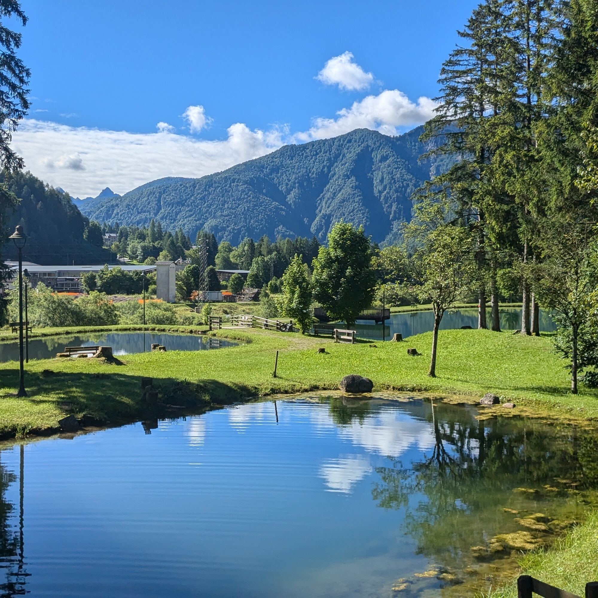
The route starts from the Parco dei Laghetti di Forni di Sopra (875 m), in the locality of Cella. We identify the asphalt road (trail 362) that goes south and immerses into the Val di Suola. Once the asphalt...
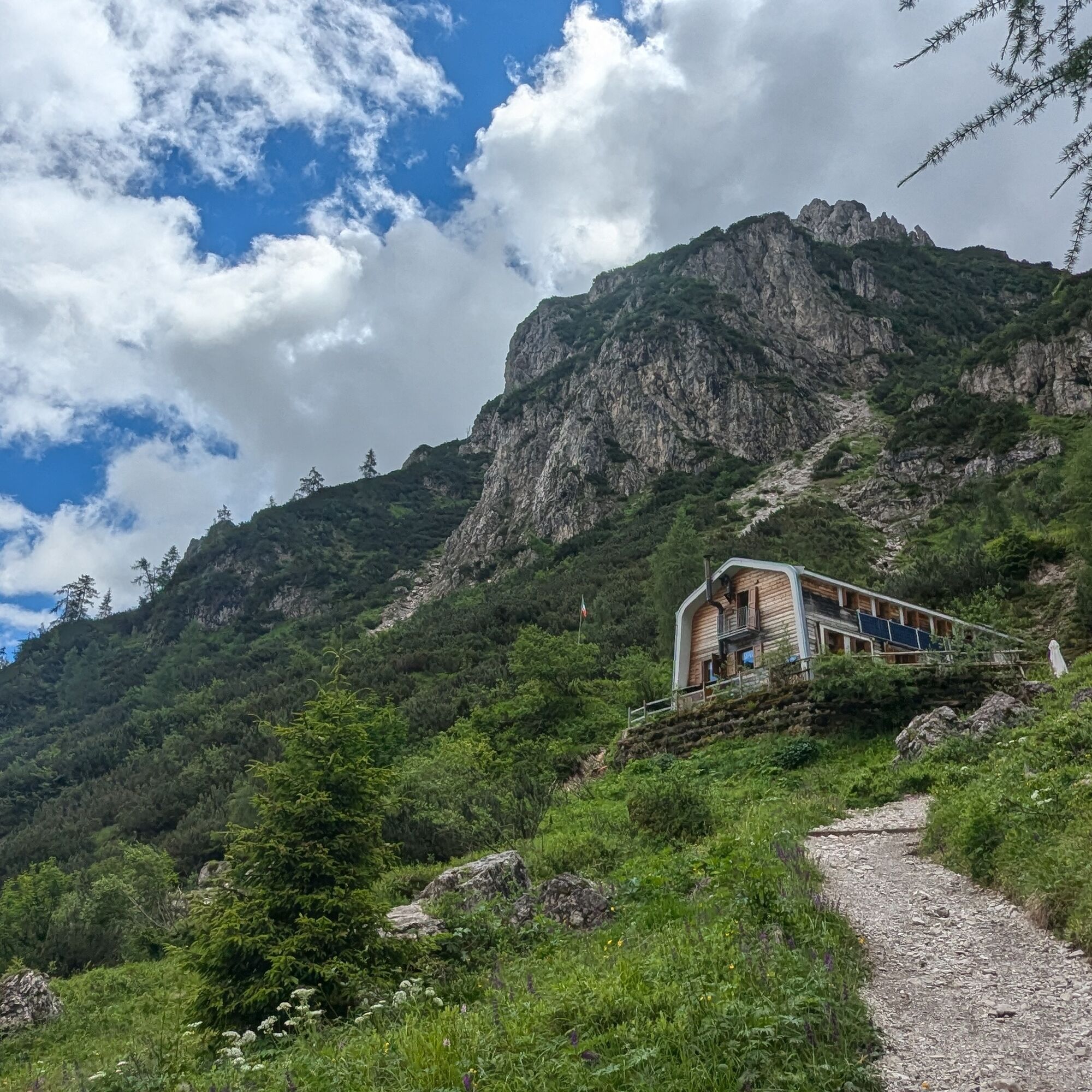
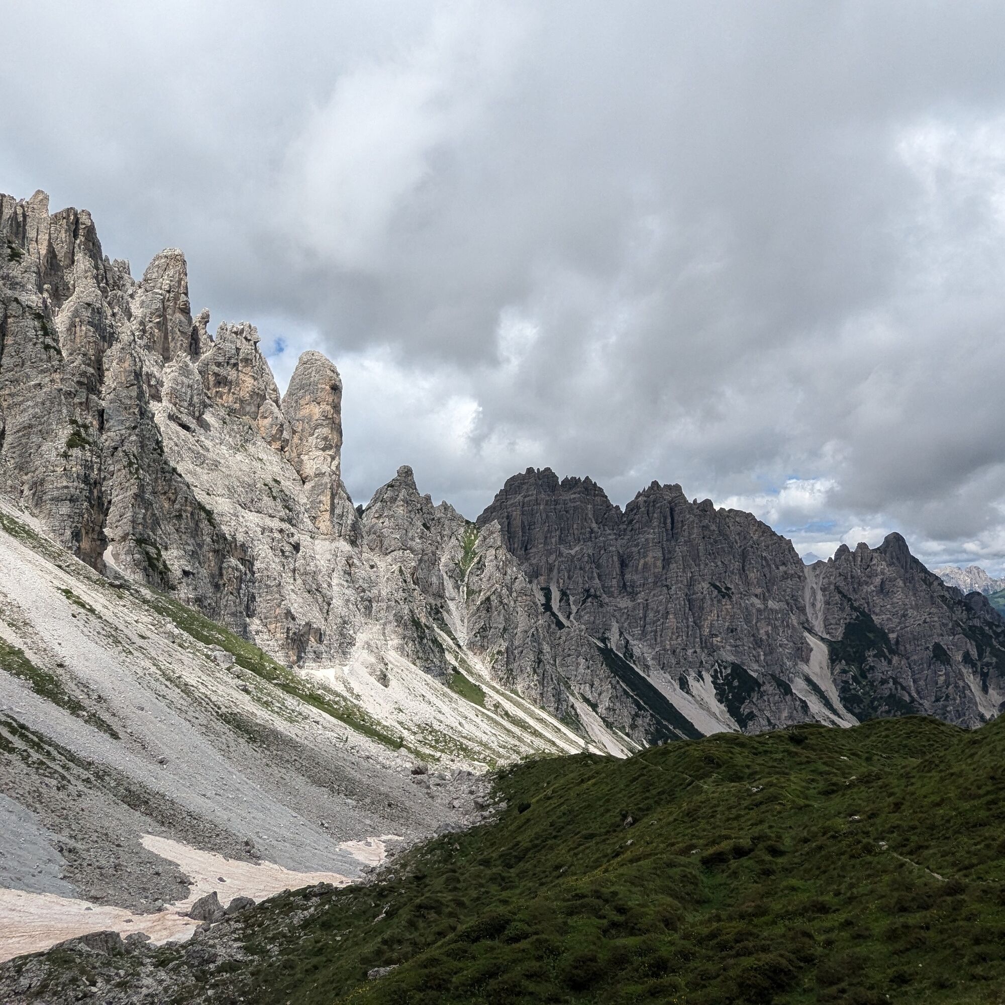
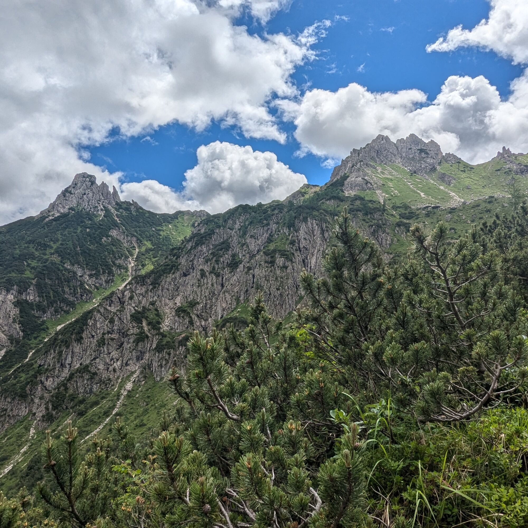
The route starts from the Parco dei Laghetti di Forni di Sopra (875 m), in the locality of Cella. We identify the asphalt road (trail 362) that goes south and immerses into the Val di Suola. Once the asphalt section ends, we follow the path that climbs beside the valley scree and reaches the Rifugio Flaiban Pacherini (1587 m; to climb up, we actually have two options: the trail, which is followed thanks to cairns and signs, or a recently improved dirt road, which extends the route with a series of hairpin bends but is more comfortable for the descent - the track shows both). From the refuge, to climb to Passo di Suola, we have two options: follow the trail towards Passo del Mus and turn at the right time (signposts), or take the "shortcut" that goes straight up to the pass (steeper). In any case, the two routes meet at 1850 m, the track becomes easy to follow, and we reach Passo di Suola (1994 m). The sharp peaks that border Val di Suola to the west are exceptional.


Ano
Normal hiking equipment
Recommended period
From late spring to autumn, in any case in the absence of snow at altitude.
The route is not too intense, but it can become so on hotter days.
If the mileage is intimidating, it is possible to shorten it by starting from Andrazza.
Tested by Bagaglio Leggero
Získejte přehled
Vždy živě na místě s více než 9 500 webkamerami. bergfex Jako uživatel Pro si nyní můžete zobrazit odpovídající webové kamery pro mnoho prohlídek v aplikaci prohlídky z. Můžete si tak přímo prohlédnout aktuální podmínky.


Oblíbené prohlídky v okolí
-
5.0
Campanile di Val Montanaia a Bivacco Perugini
středníTuristika 2.76 km -
4.5
Tiziana Weiss nature trail
středníTuristika 9.23 km -
4.0
Monte Resettum
heavyTuristika 15.0 km -
4.0
Mounts Bivera and Clap Savon from Casera Razzo, alpine ride
heavyTuristika 20.5 km -
Anello delle Dolomiti Friulane 3 Rifugio Pordenone - Rifugio Padova
středníTuristika 7.04 km -
Prstenec Friulských Dolomit z Forni di Sopra
střednídálková pěší trasa 34.7 km -
4.5
GALVANA TRAIL
heavyTuristika 12.2 km -
The multicolored campanili of Mount Zauf
středníTuristika 14.2 km -
Urtisiel and Canpuros, Dolomitic wonders
středníTuristika 13.5 km -
LONG LOOP ALONG THE TAGLIAMENTO RIVER
světloTuristika 10.2 km
Pěší turistika a stopování


Nenechte si ujít nabídky a inspiraci pro vaši příští dovolenou
Vaše e-mailová adresa byl přidán do poštovního seznamu.





