



First World War Route of Mt. Creta di Collinetta

Úroveň obtížnosti: T3
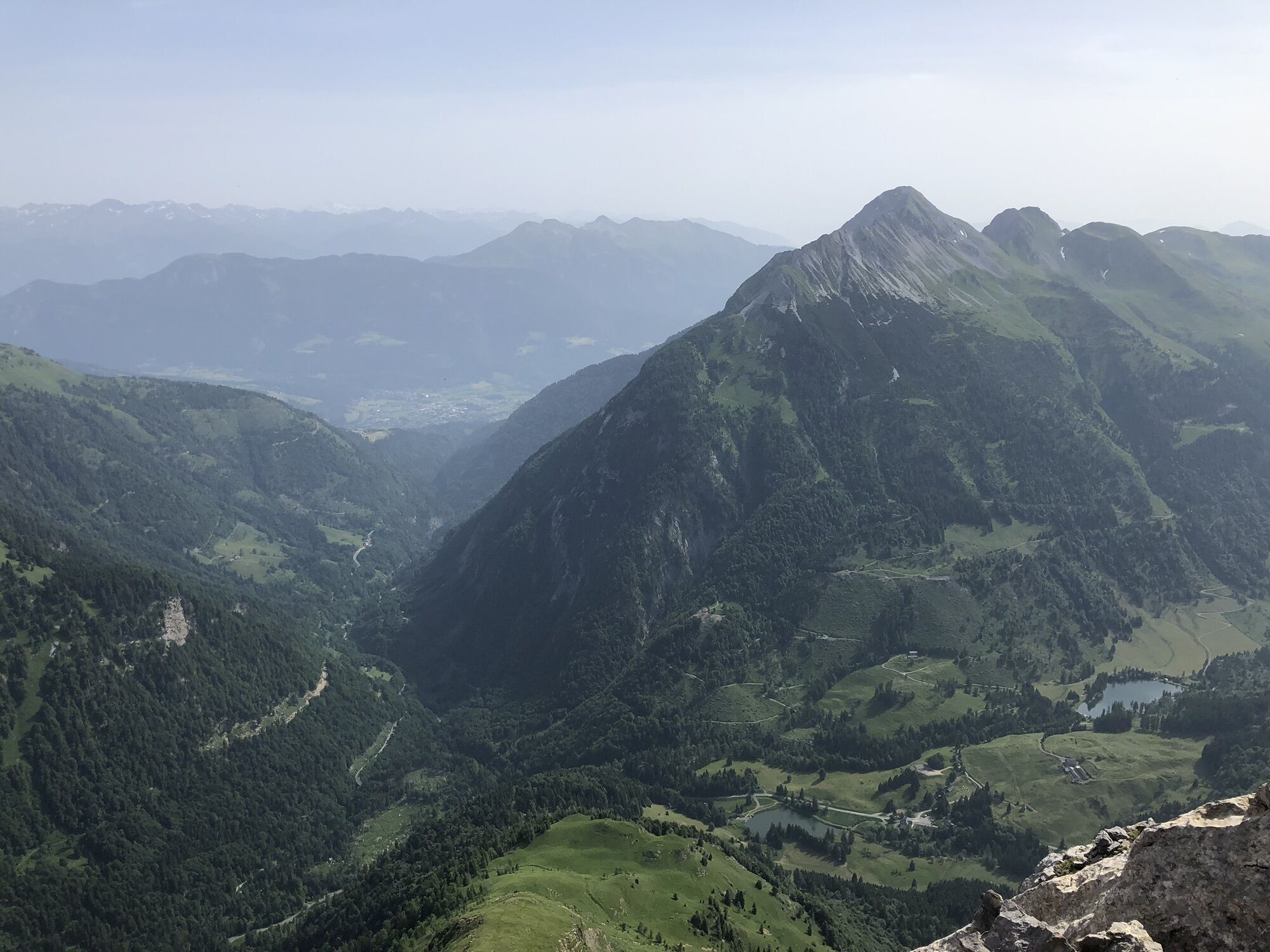
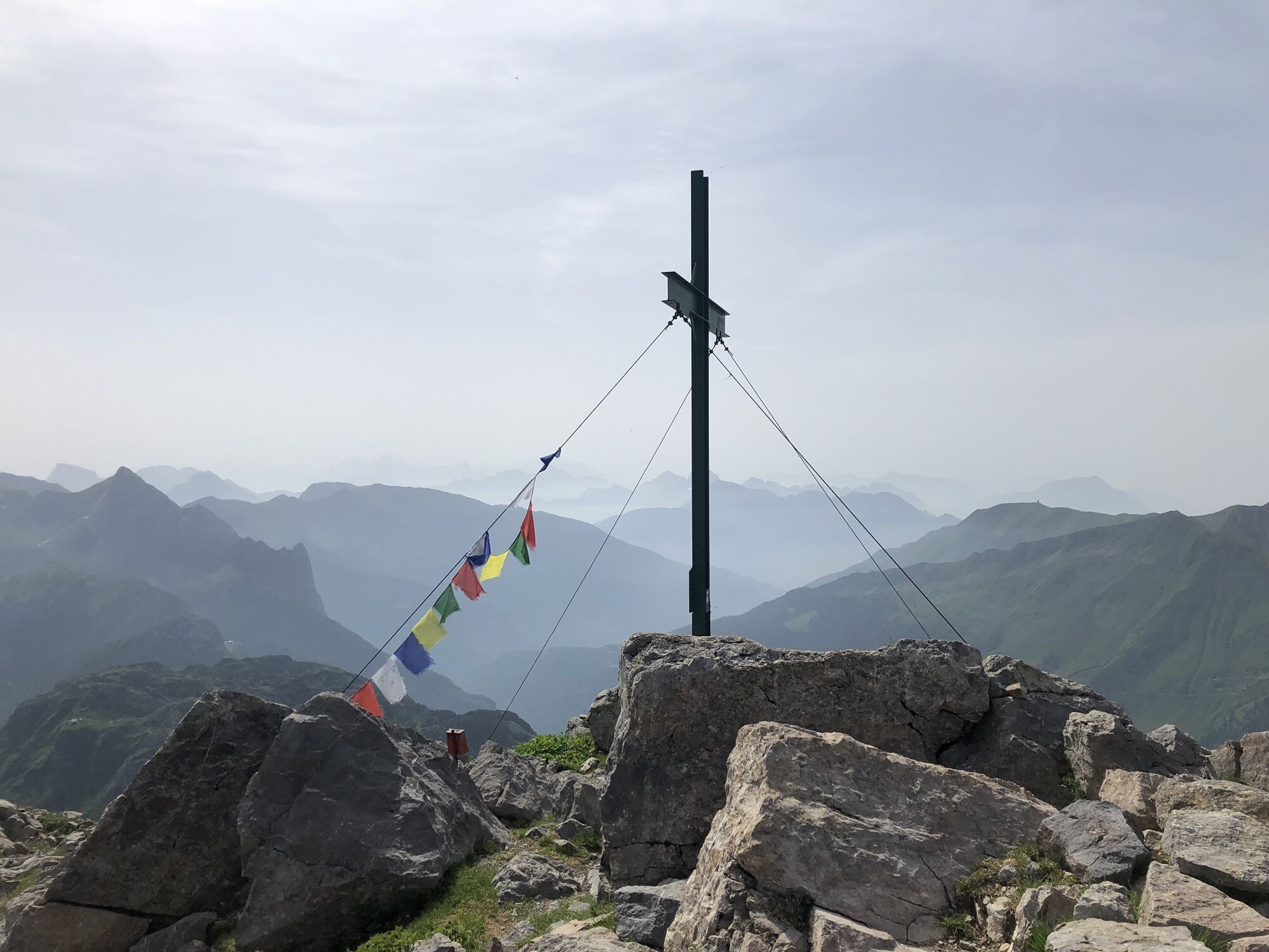
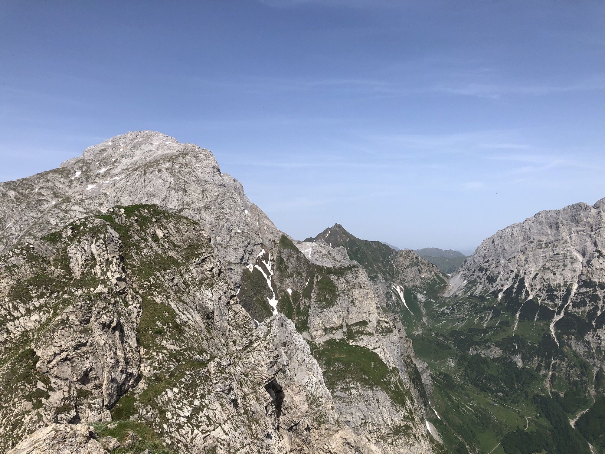
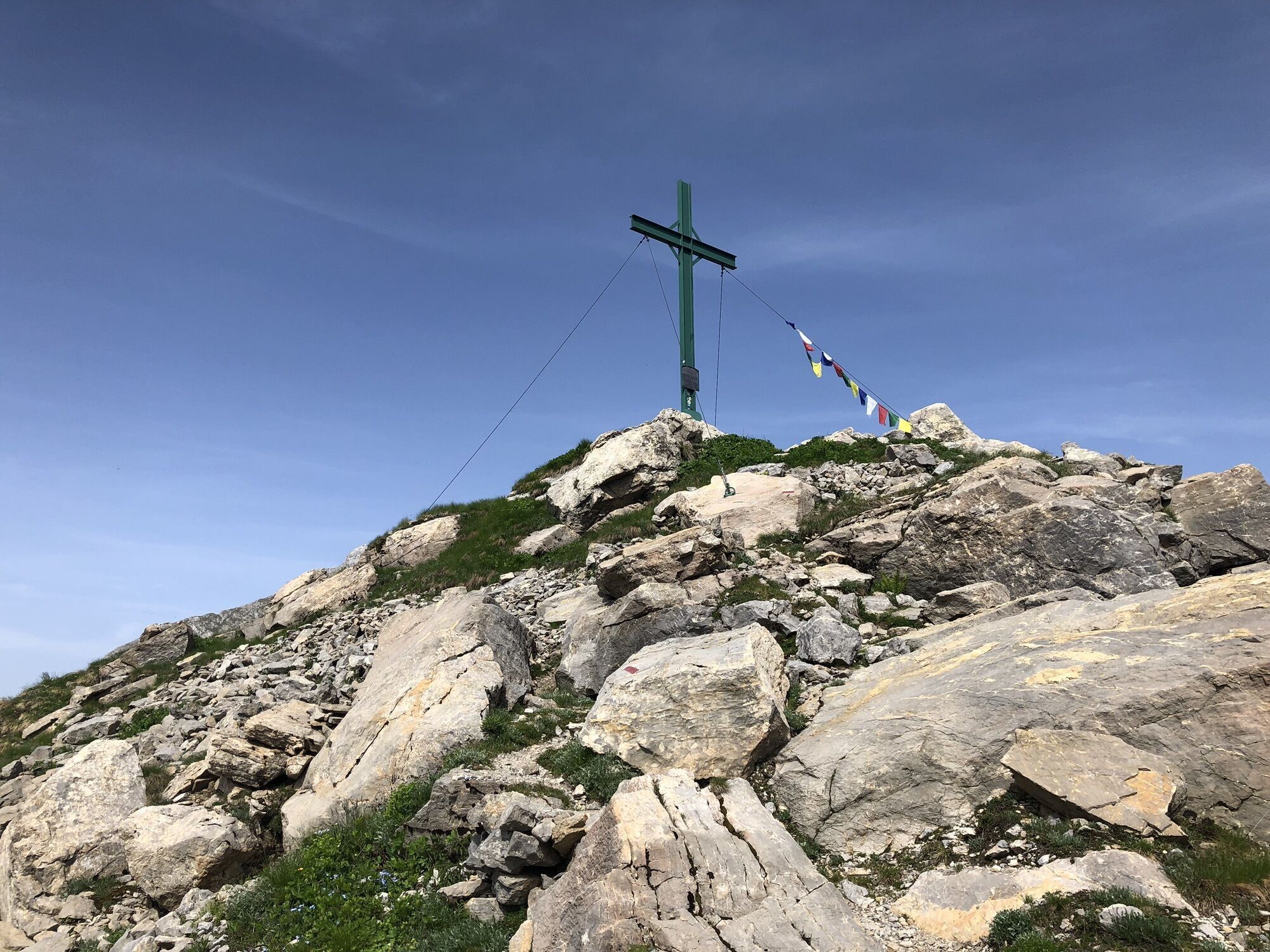
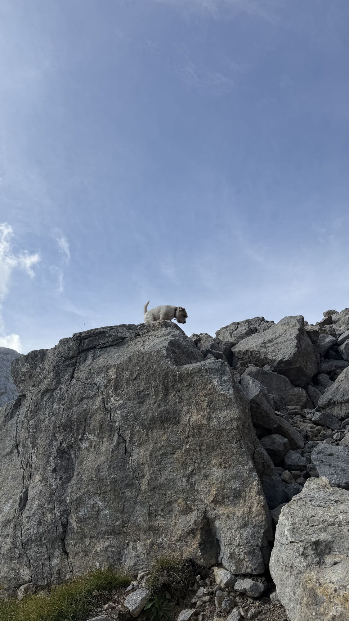
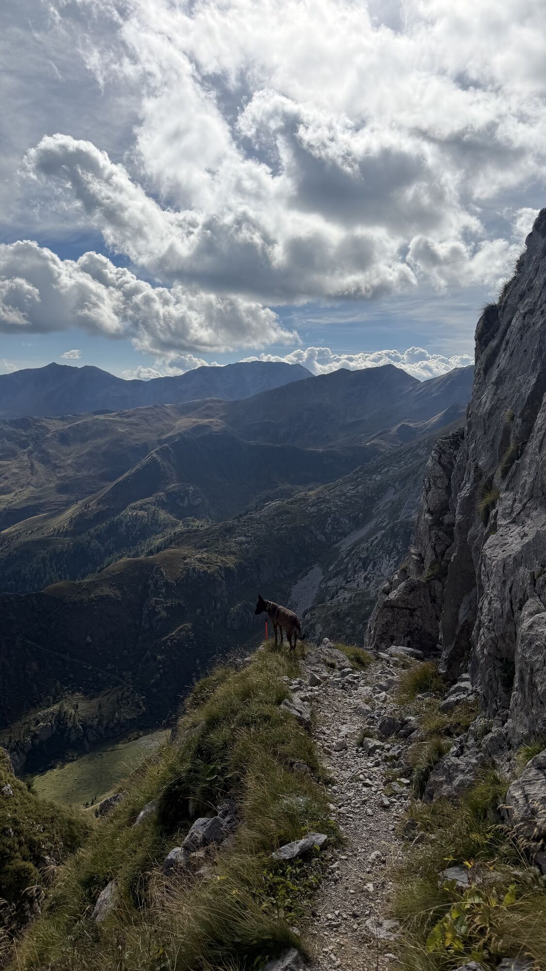
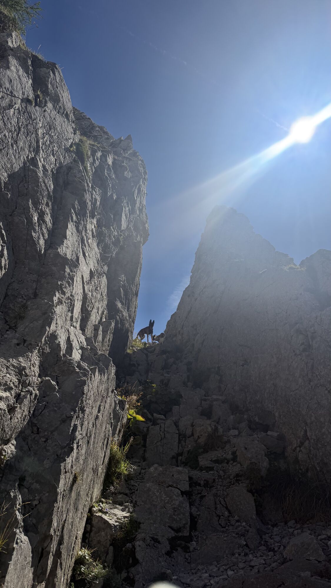
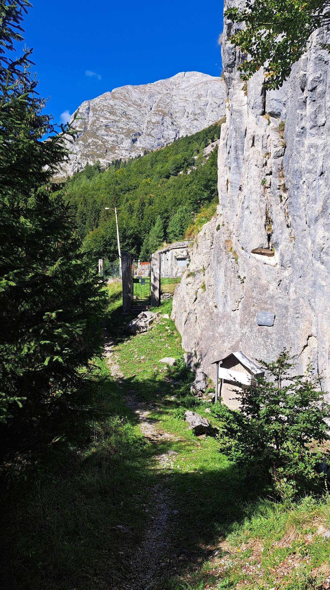
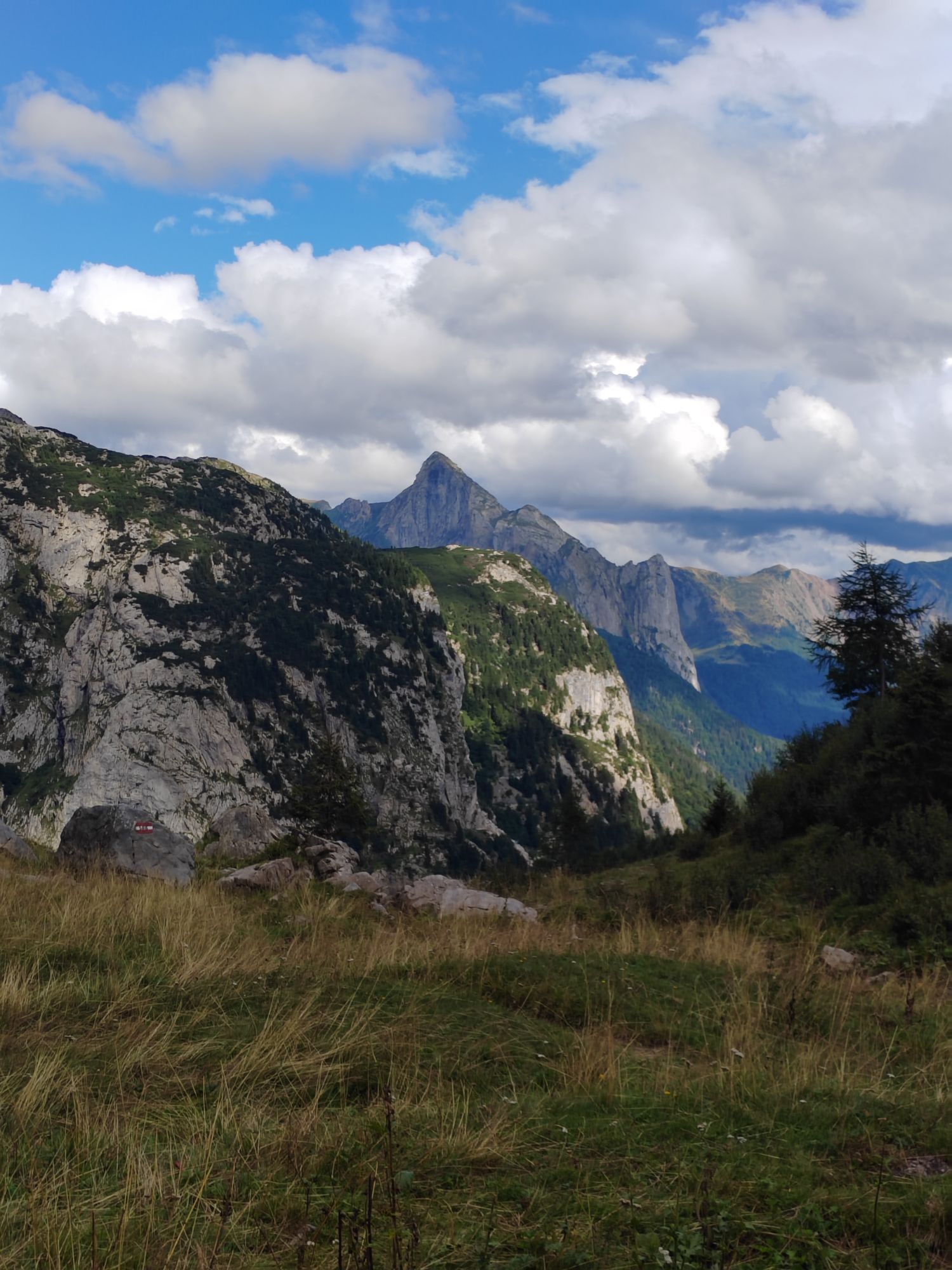
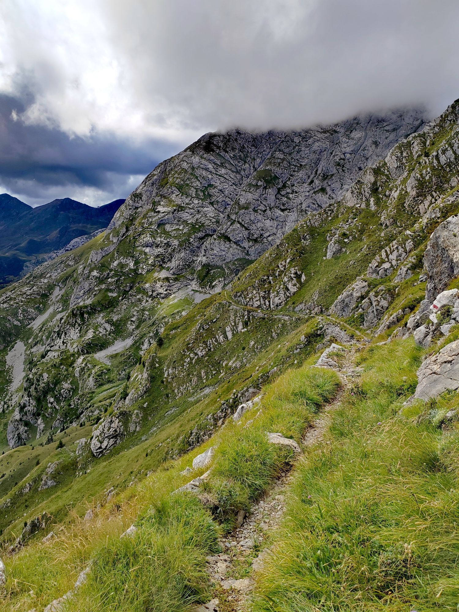
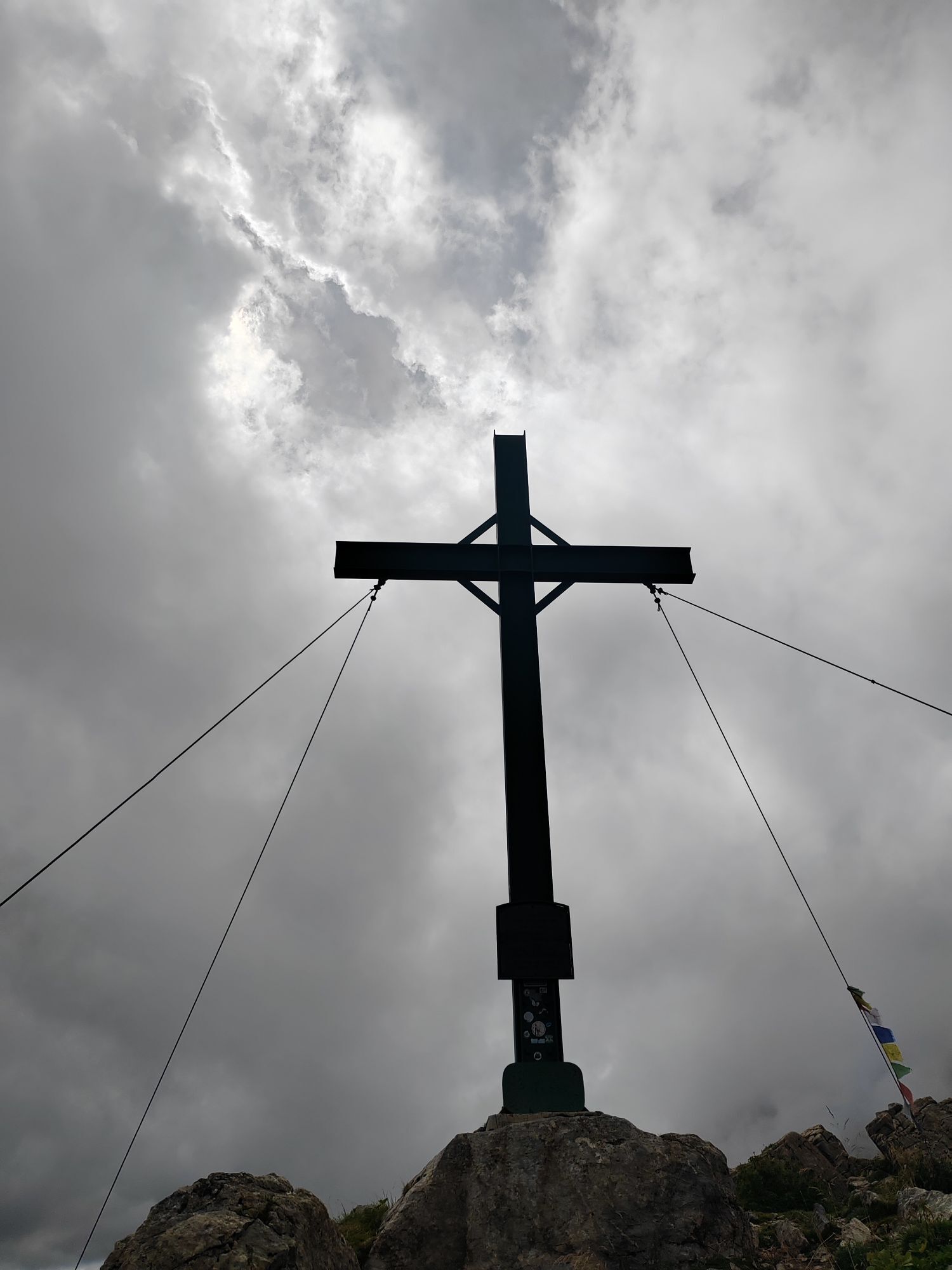
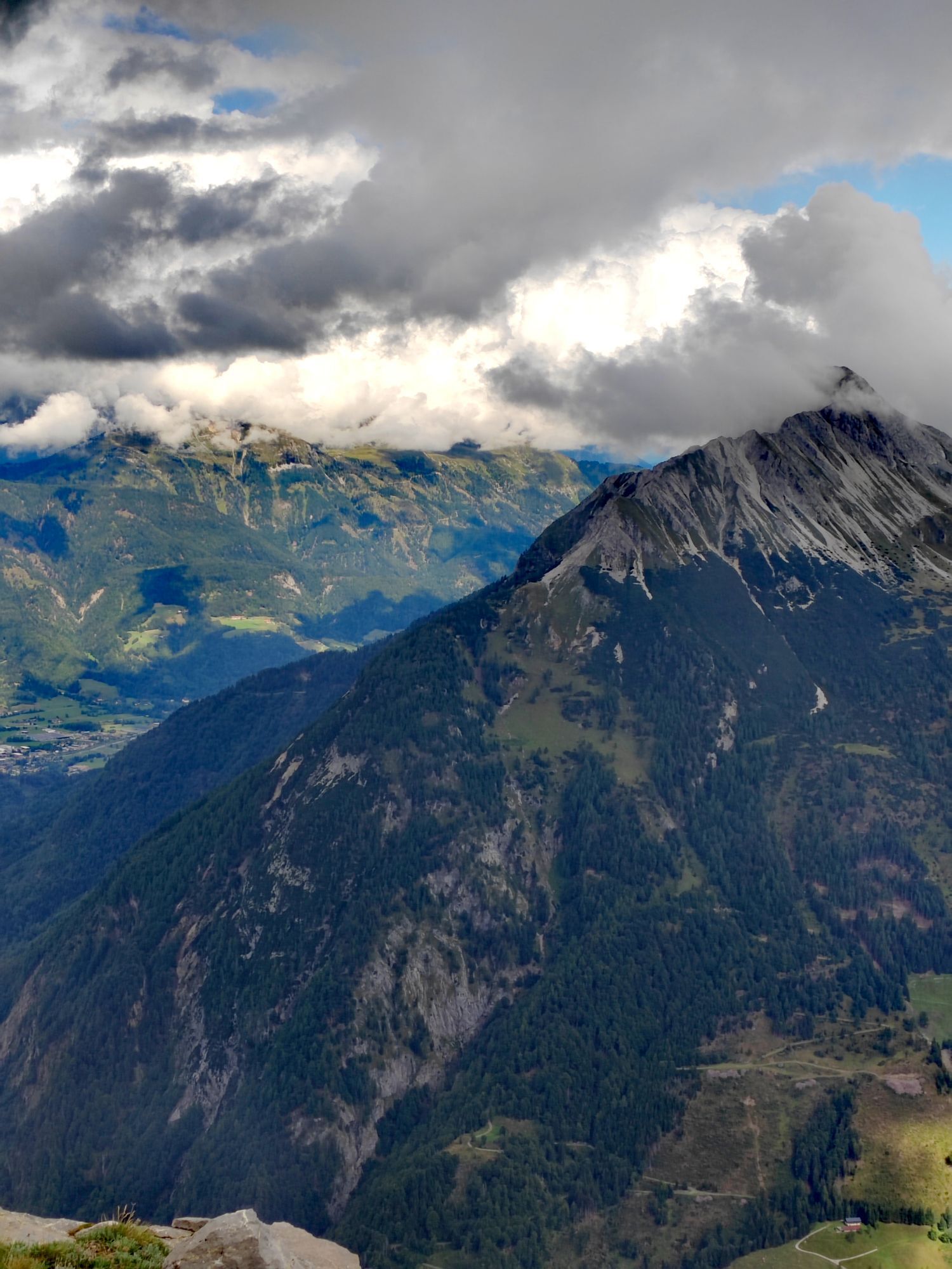
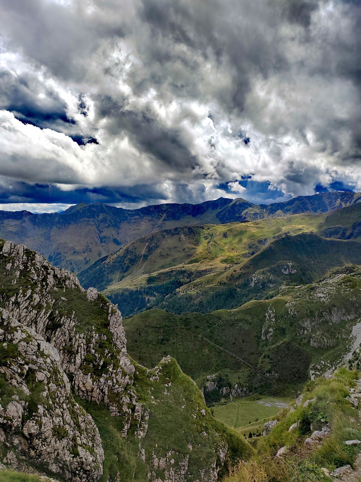
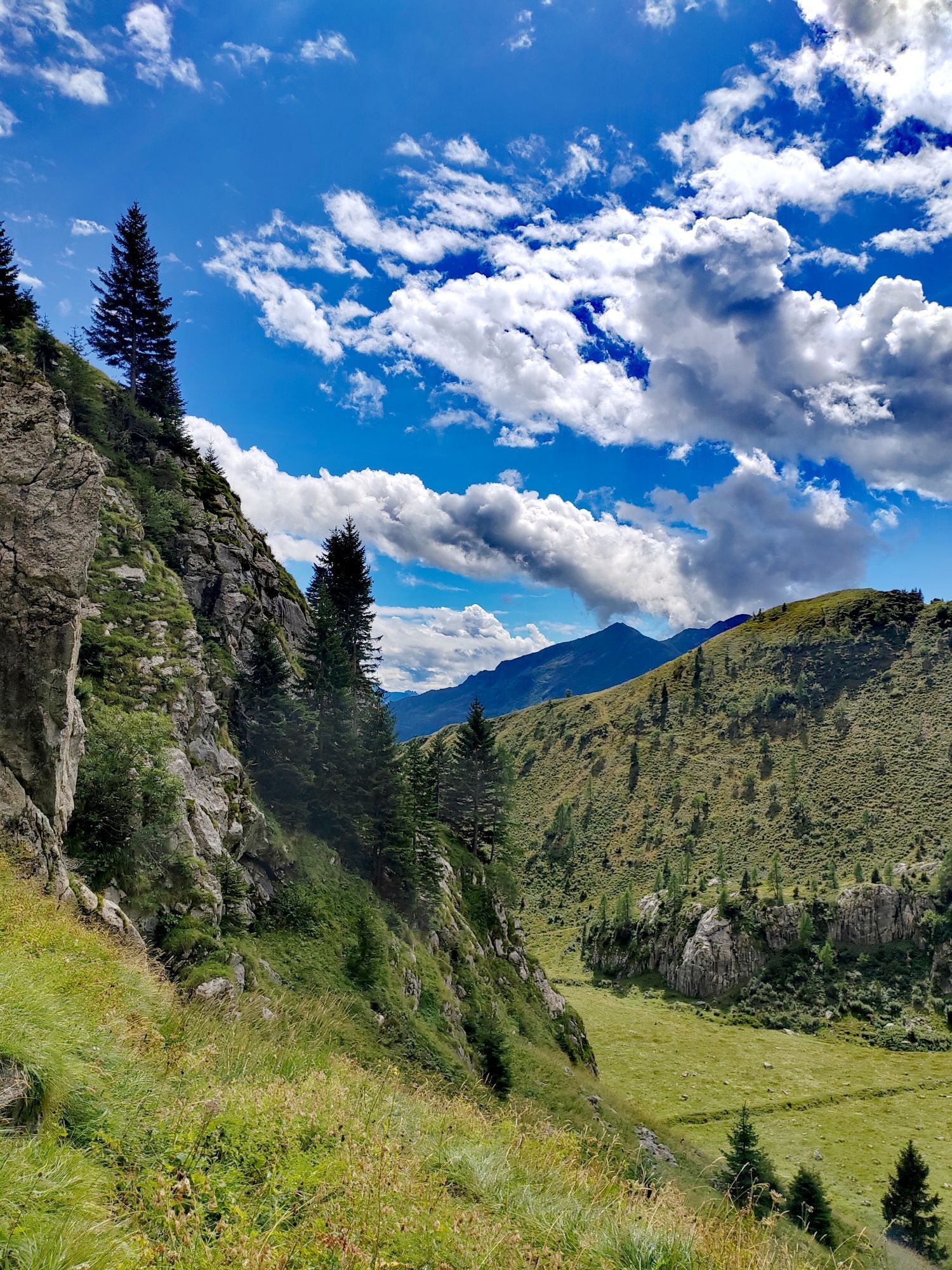
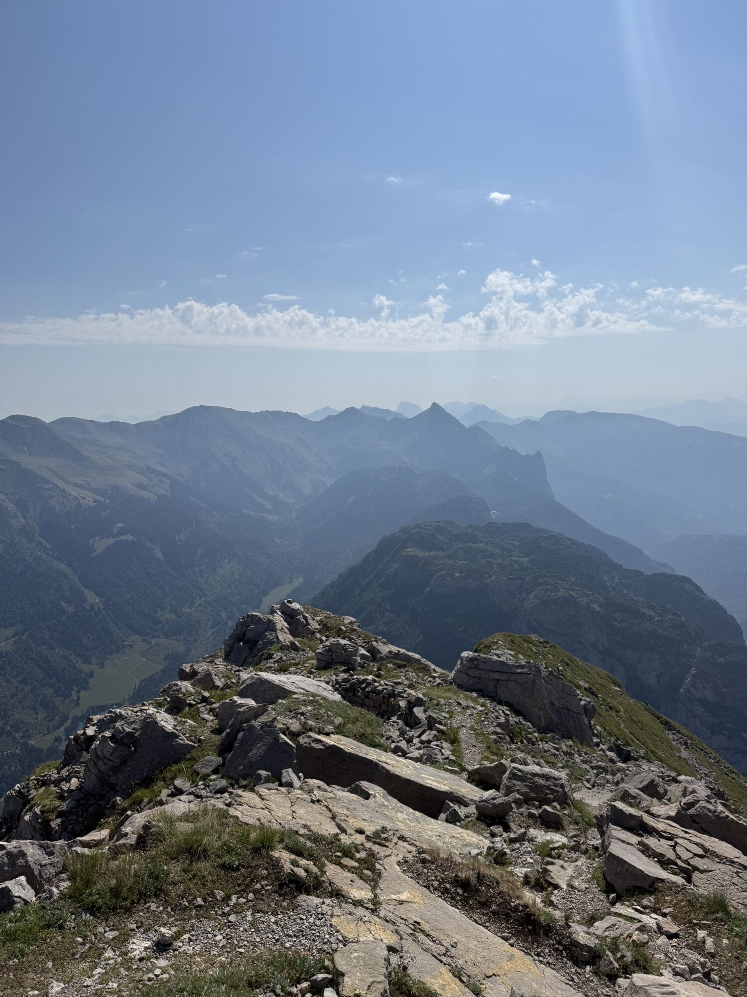
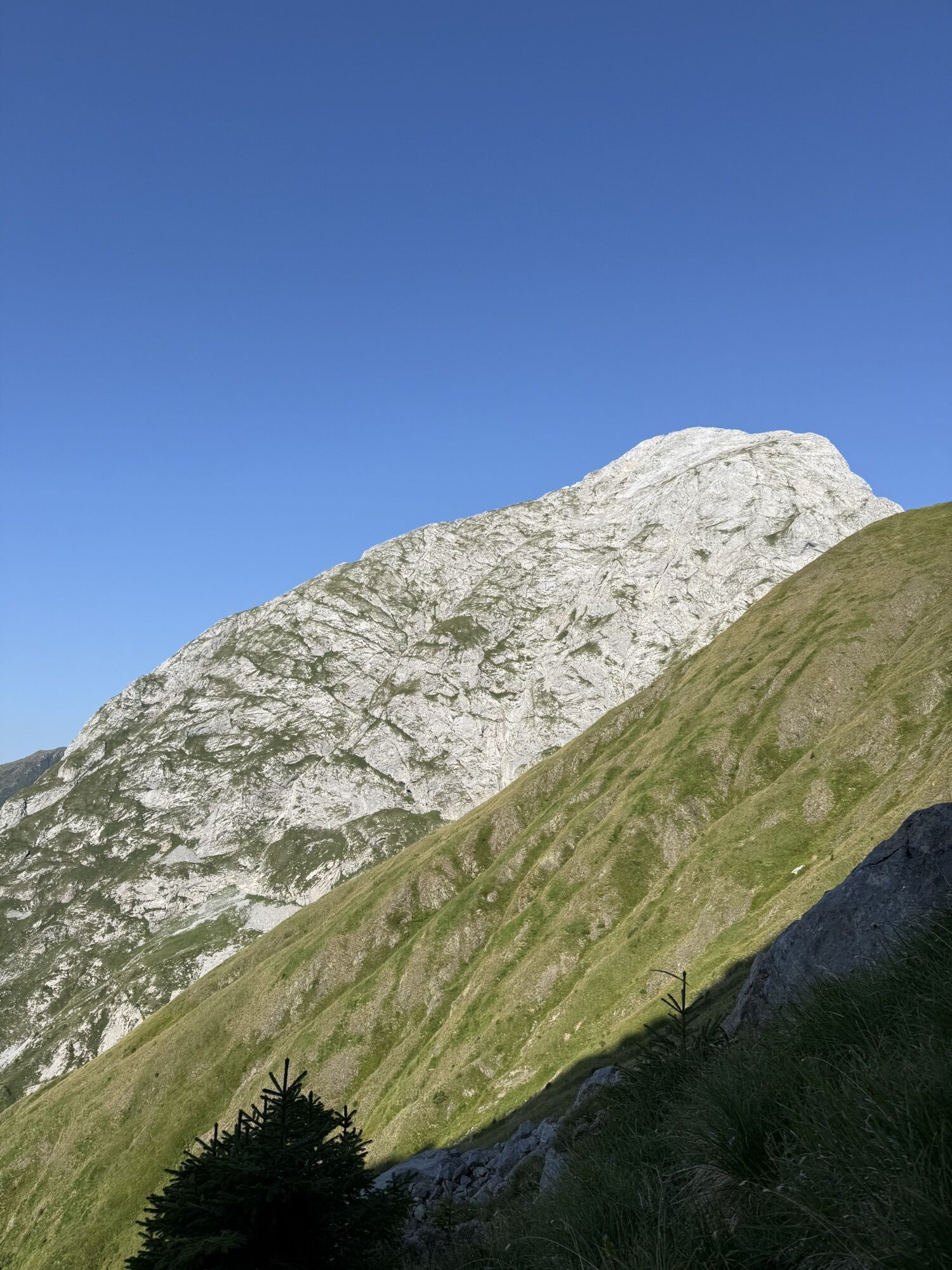
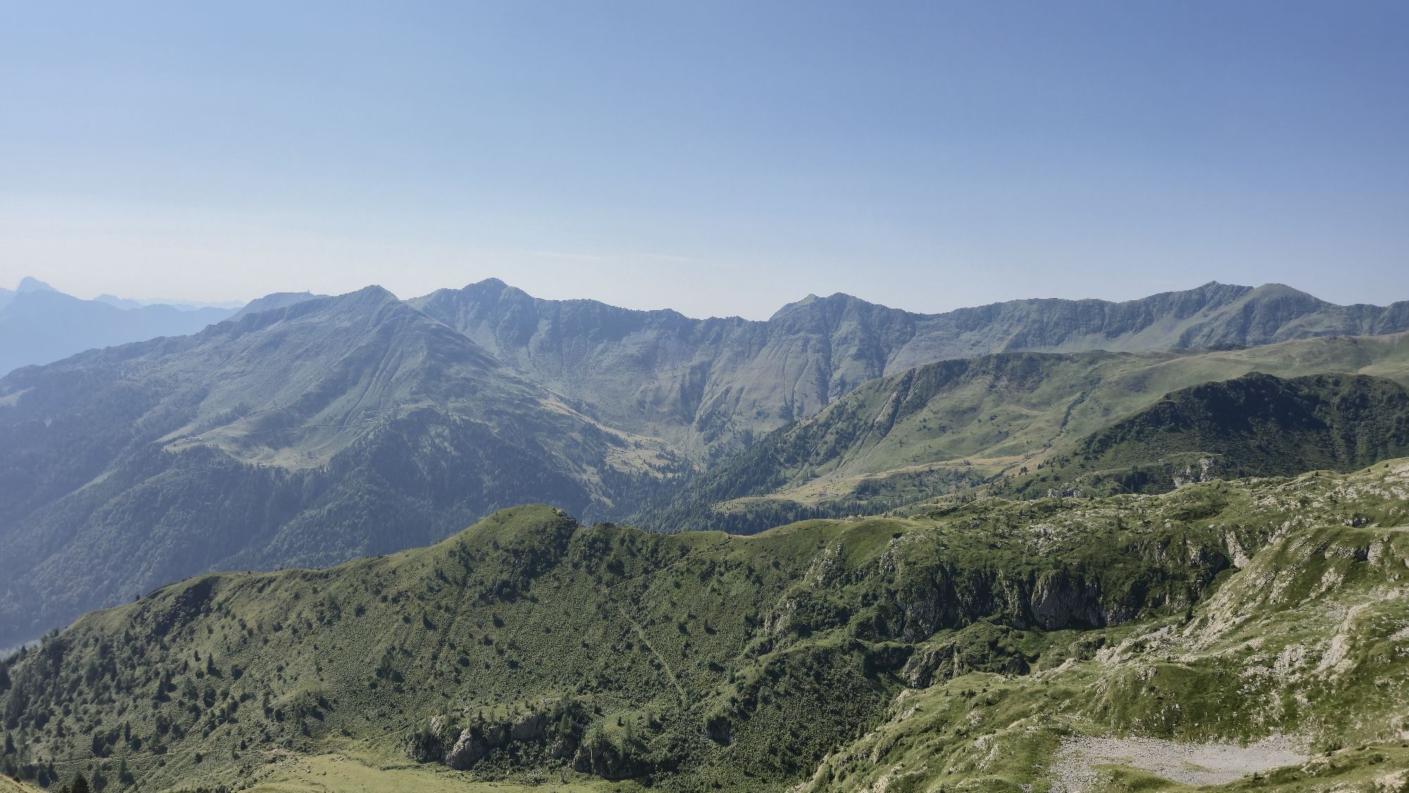
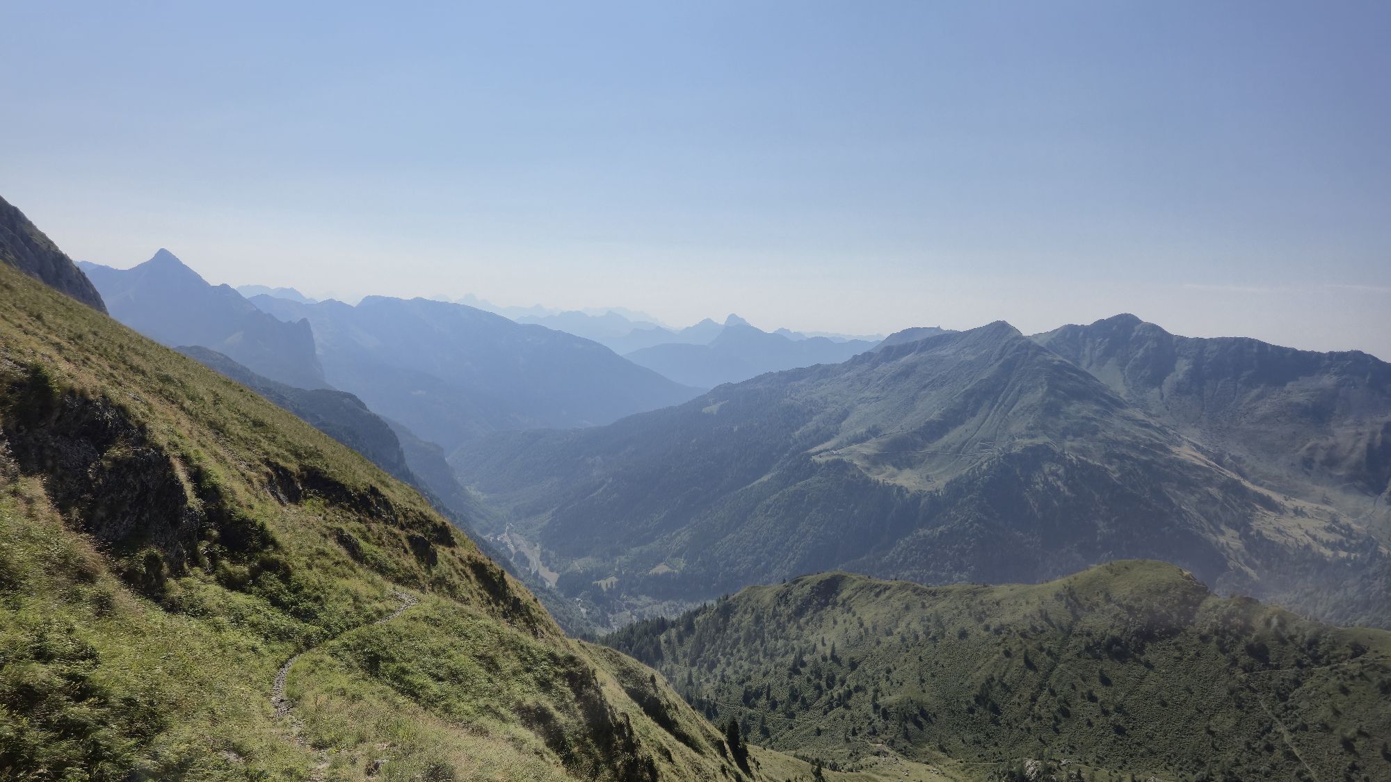
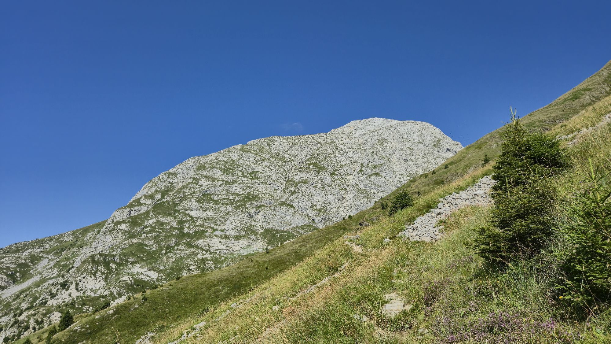

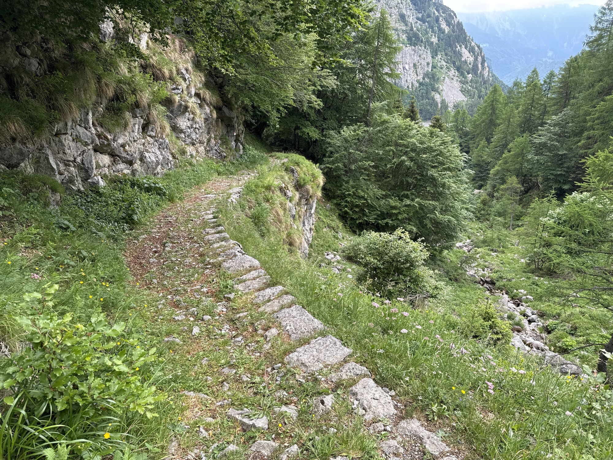
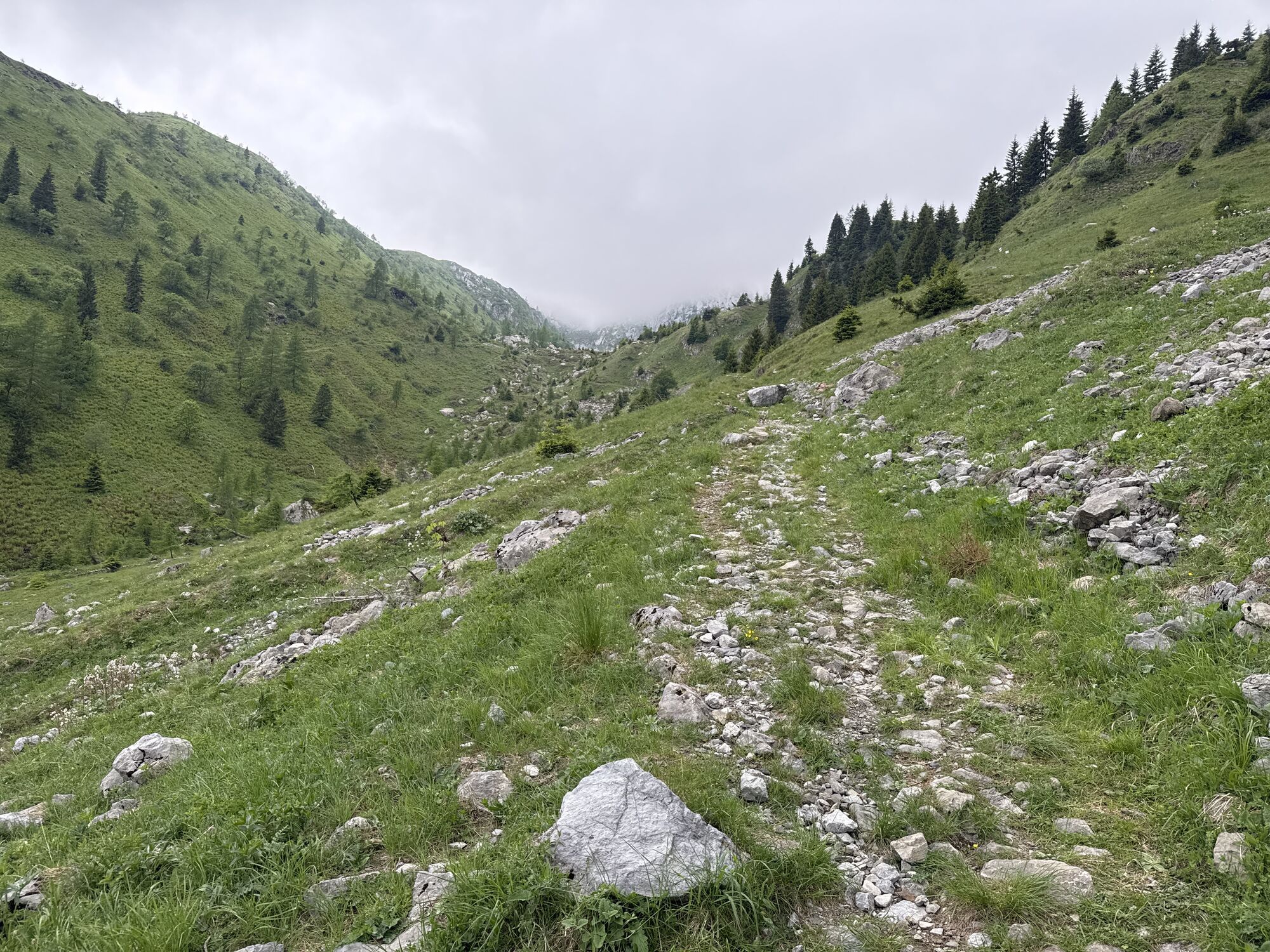


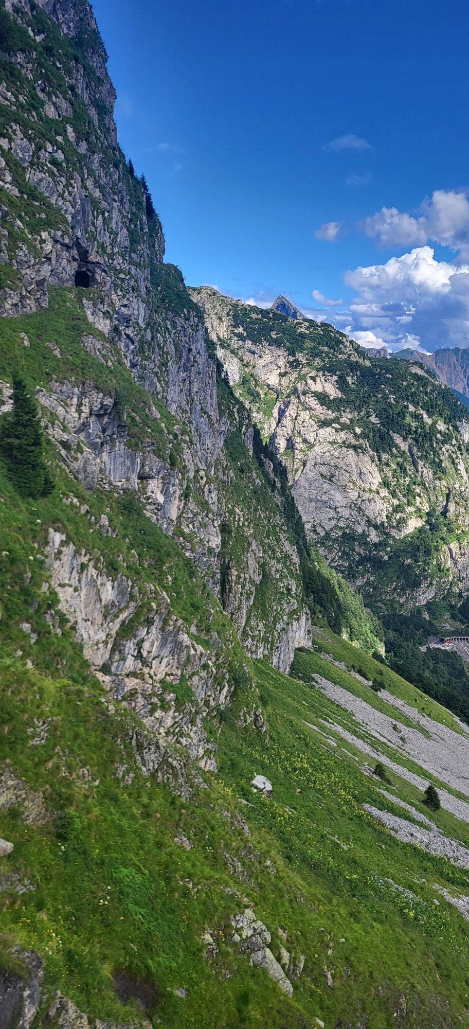
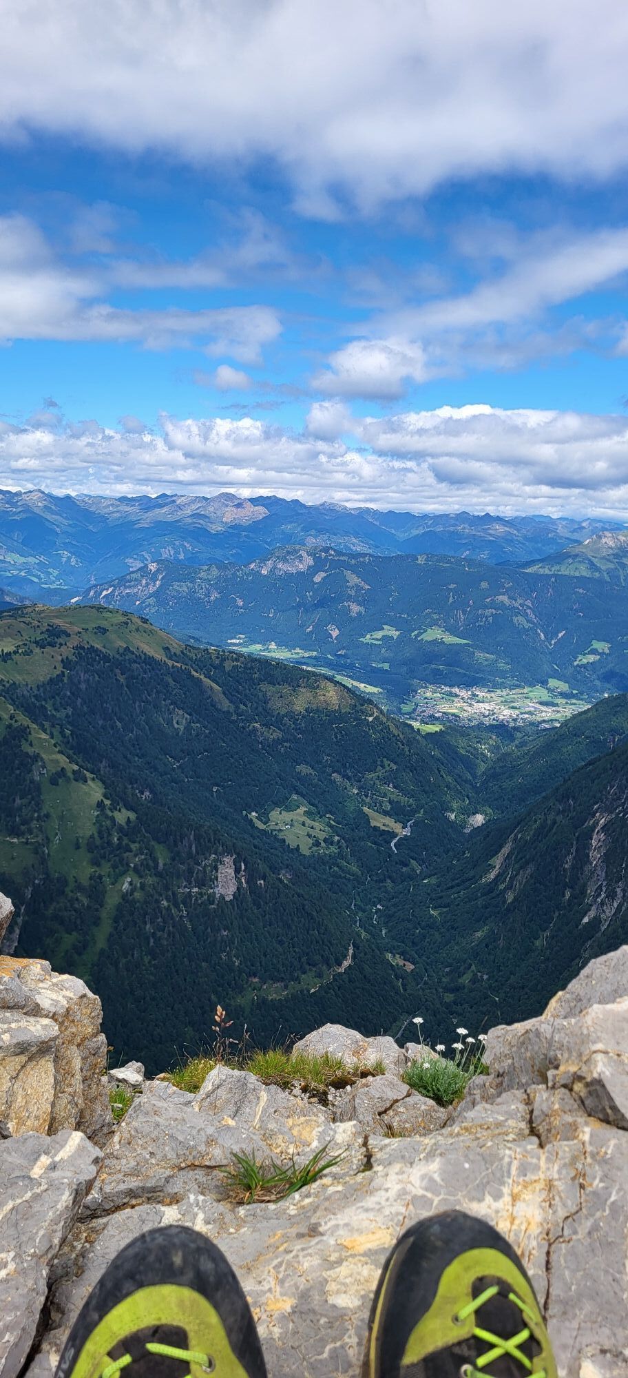

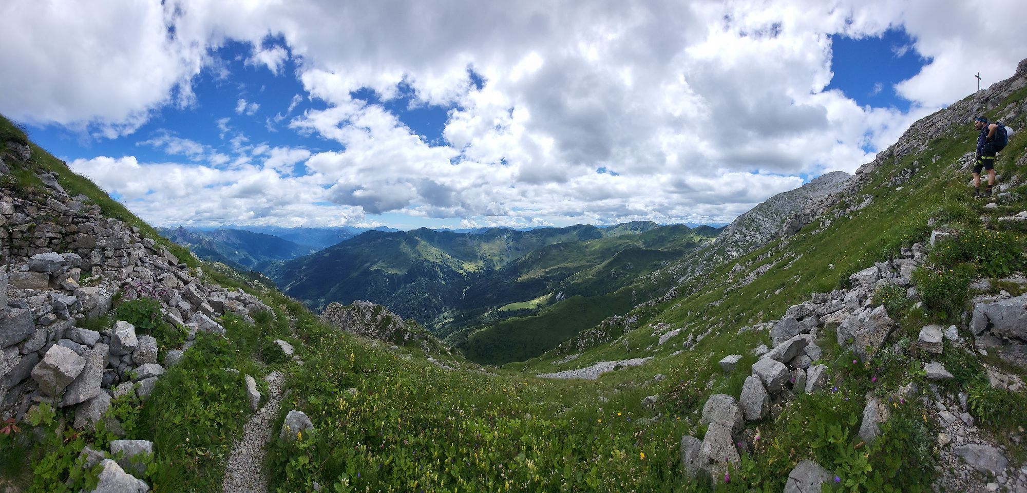

The itinerary leading to the summit of Creta di Collinetta (or Monte Cellon) includes a via ferrata inside a tunnel dug by Austro-Hungarian troops in 1916 and therefore requires good mountain experience...
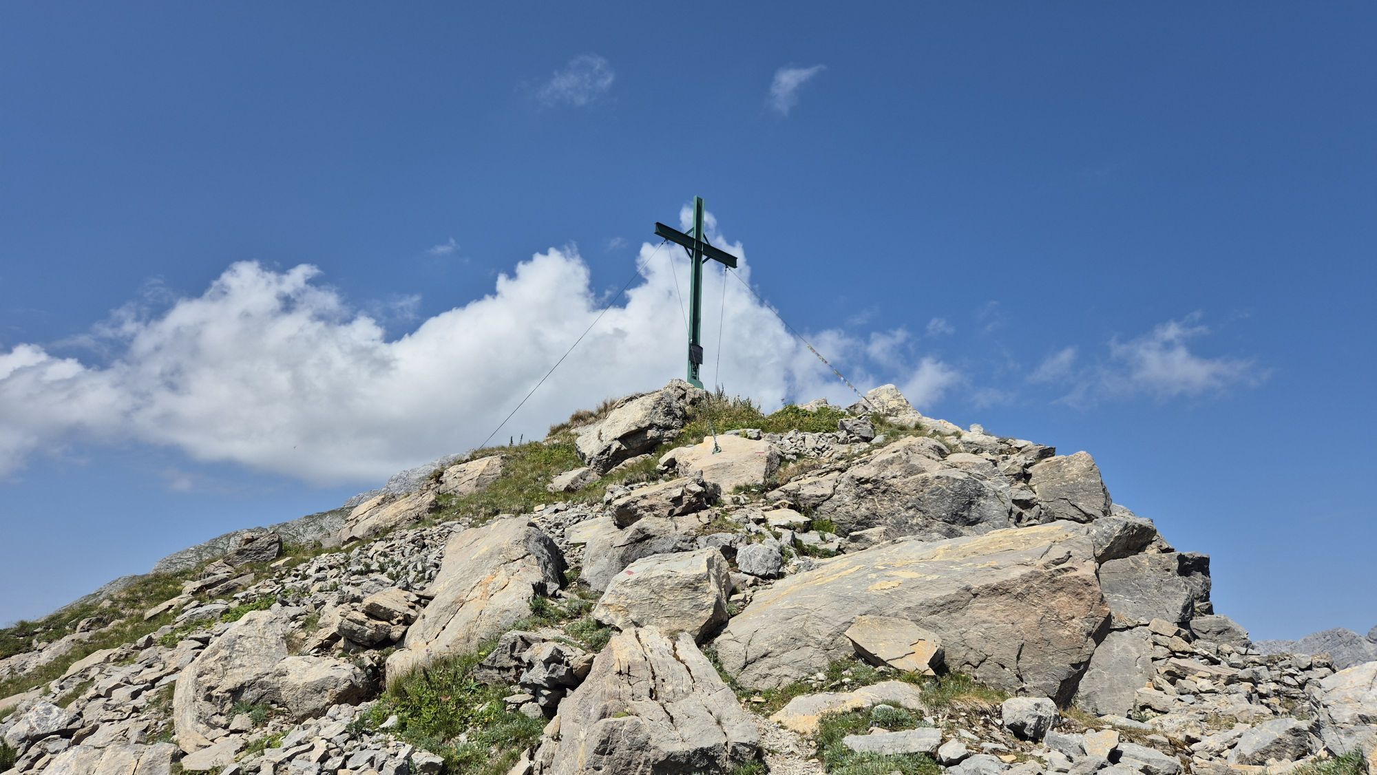
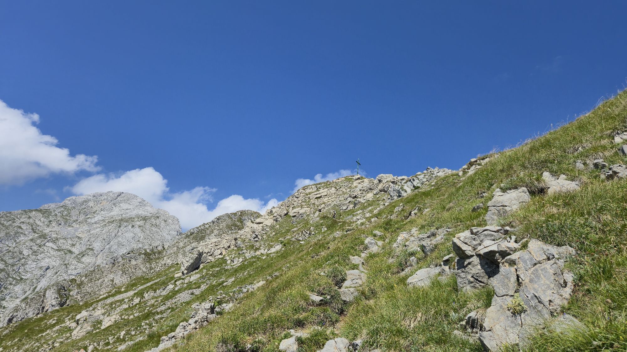
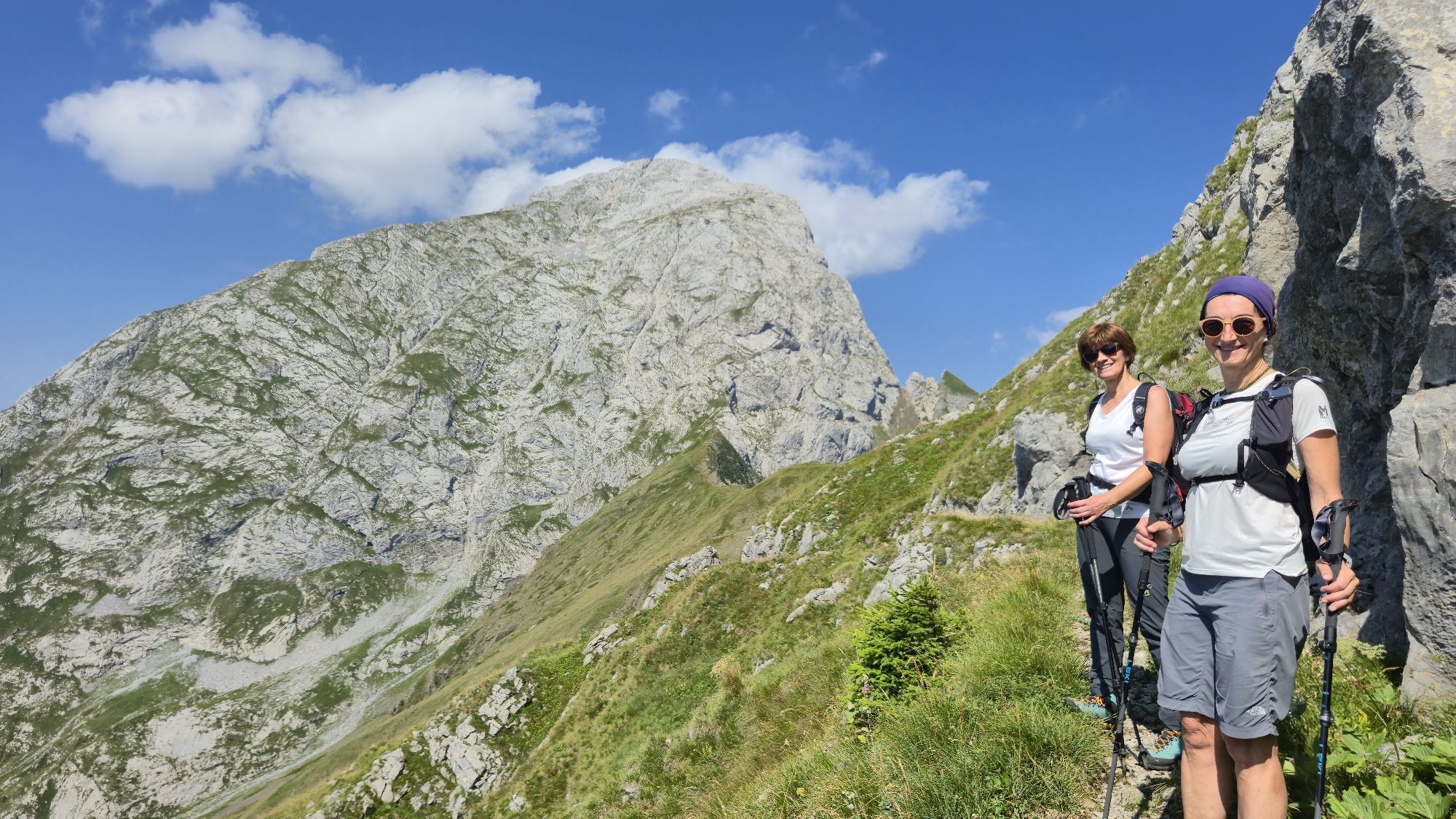
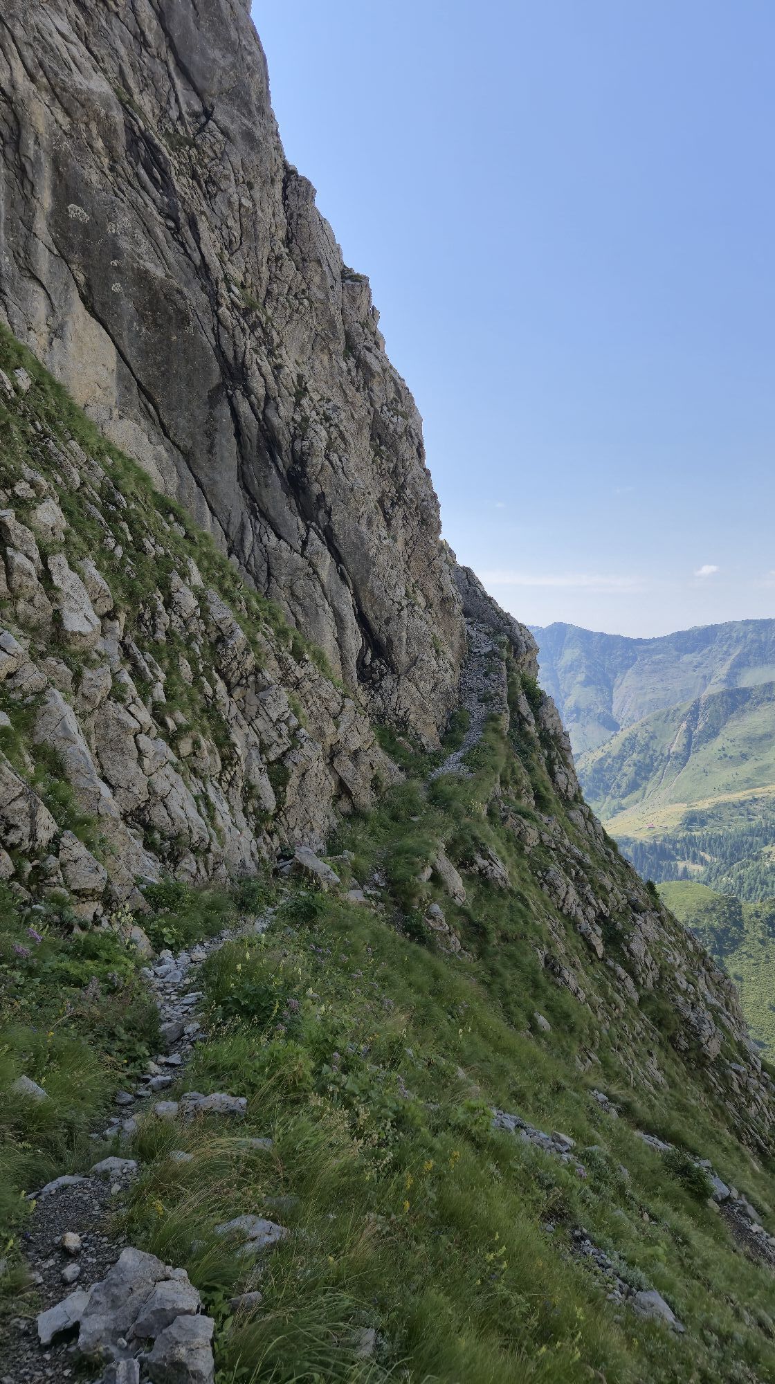
The itinerary leading to the summit of Creta di Collinetta (or Monte Cellon) includes a via ferrata inside a tunnel dug by Austro-Hungarian troops in 1916 and therefore requires good mountain experience and the proper equipment. The hike starts from Plöcken Pass (Passo di Monte Croce Carnico) (1,360 metres above sea level) and continues beyond the border to the sign for the Geo Trail route. From here, the Cellon-Schulter war tunnel is reached; climbing 180 metres inside the mountain, it leads to the foot of the panoramic Schulter ridge (1,736 metres above sea level), a formidable Austro-Hungarian stronghold. Following the signs for the Plöcken Pass, some military tunnels can be seen. Finally, by taking CAI trail 147, you ascend the slope of the Cresta Verde and soon reach the summit (2,228 metres above sea level). Along the entire route, remains of fortifications and military buildings can be observed. On the way back, follow CAI trail 147 again and then CAI trail 146, which leads back to Plöcken Pass in 45 minutes. Those wishing to avoid the equipped tunnel can reach the summit by following the trail recommended for the descent.



The itinerary begins at the border with Austria, where, by taking the paved road on the right, after a few metres it is possible to spot the signs for the Geo Trail route. Following this path, once you reach the eleventh sign, turn left at the first junction, following the signs for the Cellon-Schulter Tunnel, and after 15 minutes you will come to the first equipped section of the trail. Once this is completed, the tunnel immediately opens on your left, climbing 180 metres inside the mountain. After exiting, you pass one final equipped section and reach the panoramic Schulter ridge (1,736 metres above sea level). In front of you, the summit of Pal Piccolo is visible, while to the north the green Austrian valleys can be admired. On the ground, many metres of barbed wire are still preserved, while on the mountainside there are still loopholes and Austro-Hungarian machine-gun positions. The route then continues along the trail following the signs for the Plöckenpass. A gentle descent begins along the “Mulattiera delle gallerie”, which leads back into Italian territory and ends at a junction where CAI trails 146 and 147 meet. Take the latter and begin the ascent towards the summit. The path crosses the Cresta Verde, where the remains of several military buildings can be seen. From here begins the final stretch, where various military remains can be found, bearing witness to the battles fought for control of the mountain. The route continues among the rocks and, in about half an hour, reaches the eastern summit (2,228 metres above sea level), where the summit cross has been placed. A little further on is also the western summit (2,238 metres), which can be reached by following a faint track through the rocks. For the return journey, take CAI trail 147 again; once you reach the junction between the “Mulattiera delle gallerie” and CAI trail 146, turn right onto the latter and in about 45 minutes you will return to Passo di Monte Croce Carnico.
Ano
For the ascent, a via ferrata set, helmet and light source are required. It is also recommended to wear suitable sports clothing, footwear appropriate for mountain trails and to use trekking poles. It is further recommended to bring an adequate supply of water and food.
This itinerary is suitable only for experienced hikers: particular care is required especially during the ascent, as it includes an equipped tunnel route. Always check the weather forecast.
From Austria: take the Plöckenpass Strasse (Road 110), which starts in the town of Kötschach-Mauthen, and continue to the state border with Italy.
Parking at Passo Monte Croce Carnico / Plöckenpass
T3
For those who prefer not to tackle the equipped sections, it is possible to explore Creta di Collinetta while avoiding the Cellon-Schulter Tunnel. After leaving your vehicle in the parking area at Passo di Monte Croce Carnico, instead of heading towards the border with Austria, walk back a few dozen metres and take the clearly visible CAI trail 146 (Traversata Carnica) on the right. Continue from here until you reach the junction with CAI trail 147, which, by turning right, leads to the summit of Creta di Collinetta.






Oblíbené prohlídky v okolí
- 4.5
Karnischer Höhenweg – Etappe 4: Hochweißsteinhaus – Wolayersee Hütte
heavydálková pěší trasa 15.9 km - 4.5
Obergail - Obergailer Alm - Obergailer Lake - Enderberg hut - Source for Health & Peace - Madonna circular hiking route - Obergail
středníTuristika 11.4 km - 4.4
Mountain bike route from the Hubertus Chapel to the Wolayersee
heavyMountainbike 9.06 km - 4.6
Bread & Morende Trail
středníTuristika 11.3 km - 4.8
Karnischer Hauptkamm - Hohe Warte 2.780m - Hike and Bike
heavyHorská turistika 19.5 km - 5.0
Plöckenhaus - Polinik - Plöckenhaus
heavyTuristika 10.9 km - 3.7
Cellon-Stollen und Senza Confini auf den Cellon und Steinberger Weg zum Abstieg
středníVia ferrata 7.09 km - 4.0
Circular hike Obergail - Gamskofel - Obergail Alm - Obergail
středníTuristika 13 km - 5.0
Valentin-Wolayersee-Runde
středníTuristika 12.4 km - 3.2
Wolayersee
středníTuristika 7.90 km
Pěší turistika a stopování


Nenechte si ujít nabídky a inspiraci pro vaši příští dovolenou
Vaše e-mailová adresa byl přidán do poštovního seznamu.


