


Park cycling in Seinäjoki
The route offers varied terrain and sights. Sometimes you are in the urban area and then in the suburbs, from where you can enter the forest. From a rocky section of the route, you move to riding a park...
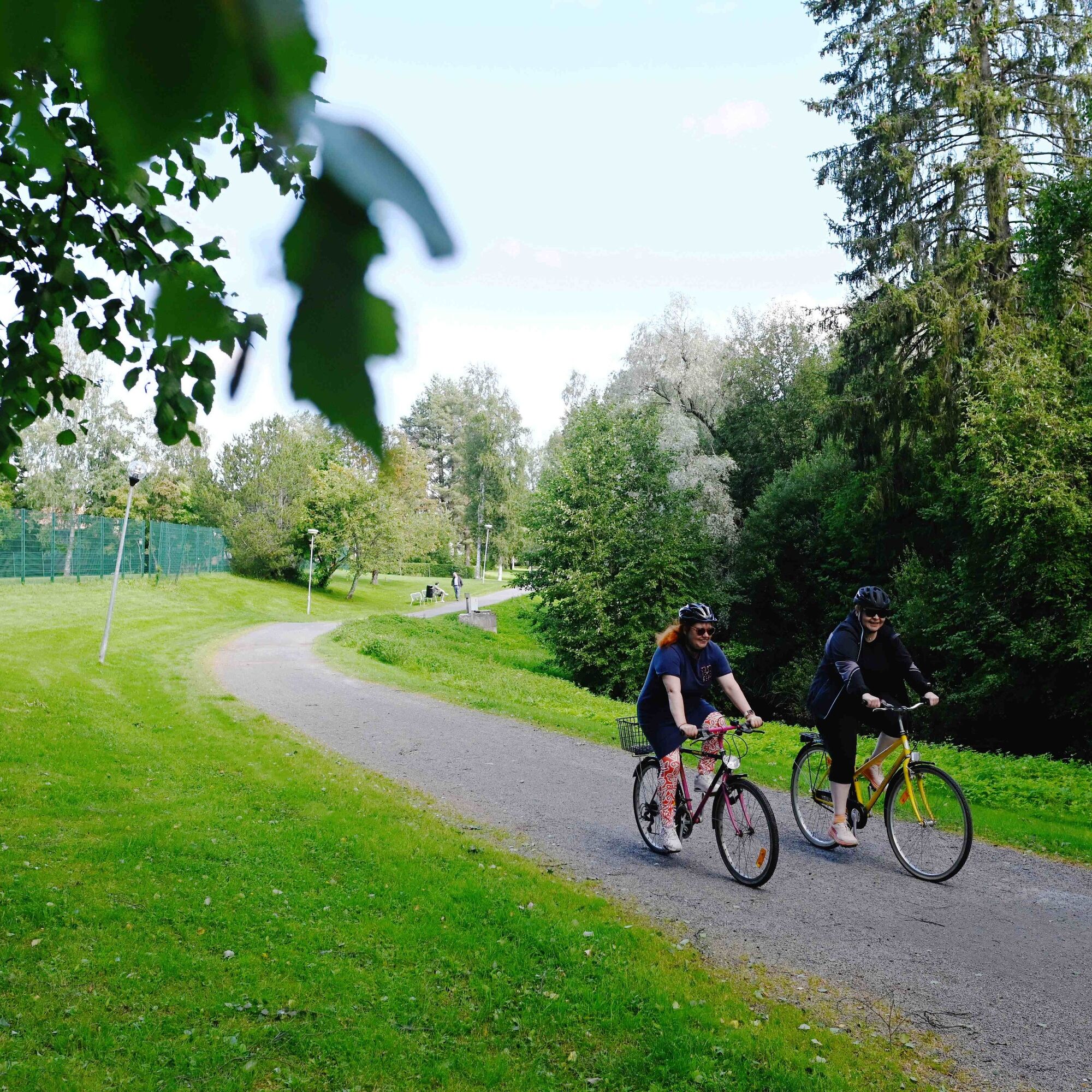
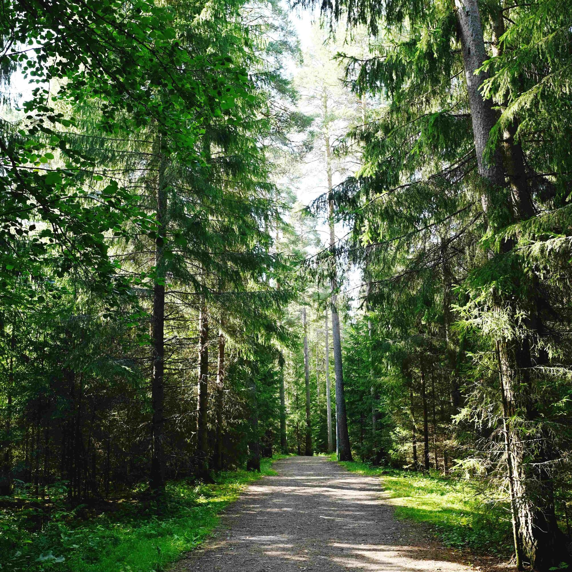
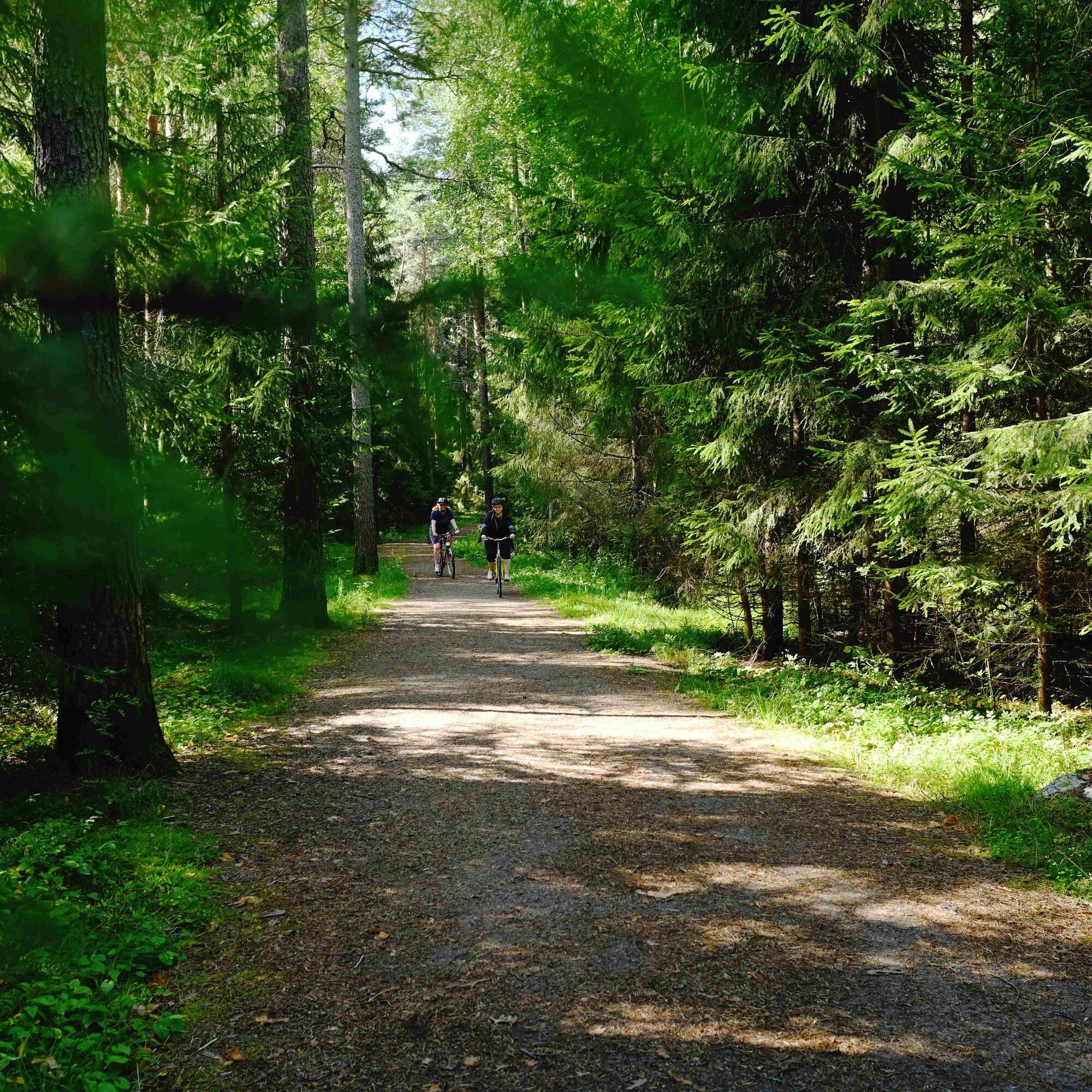
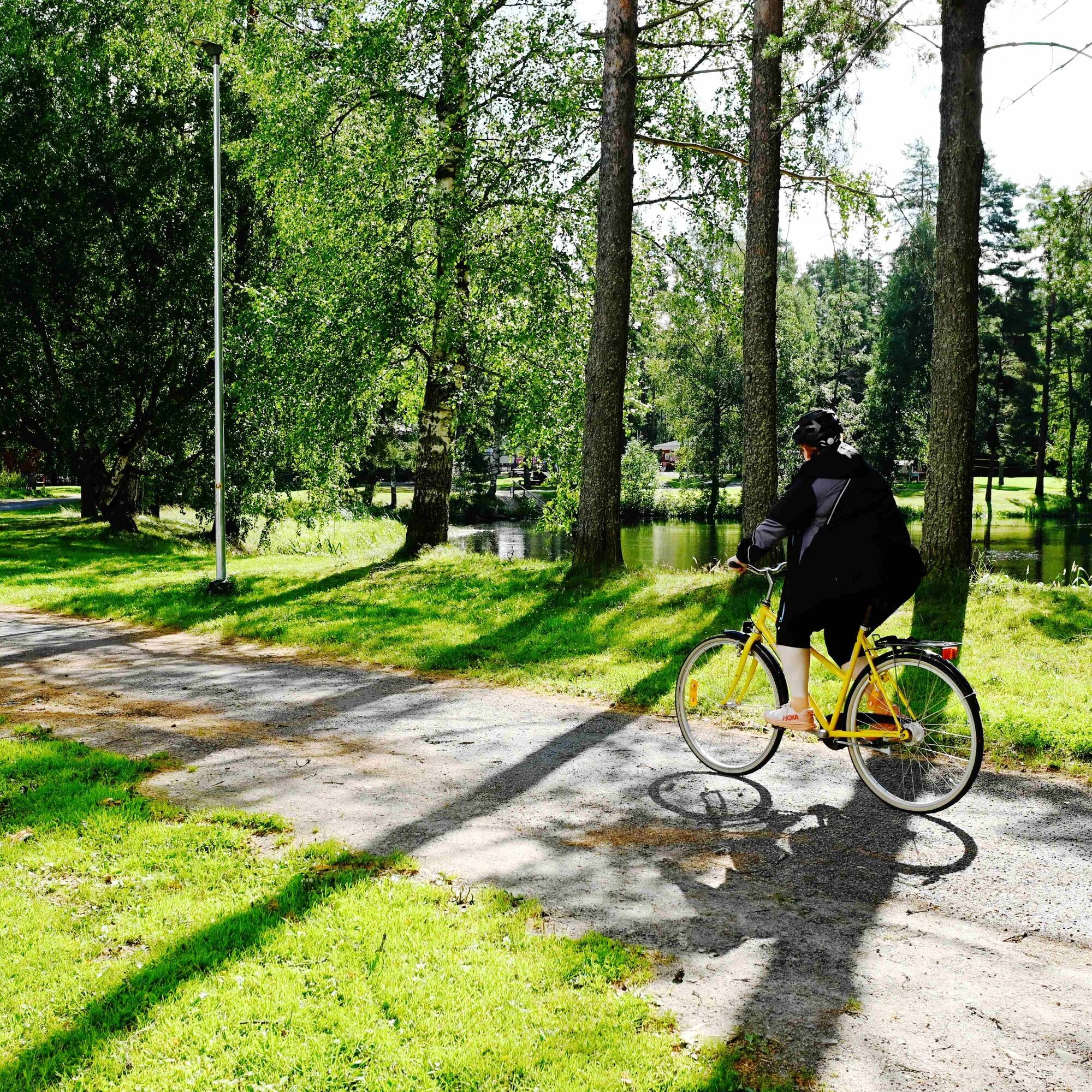
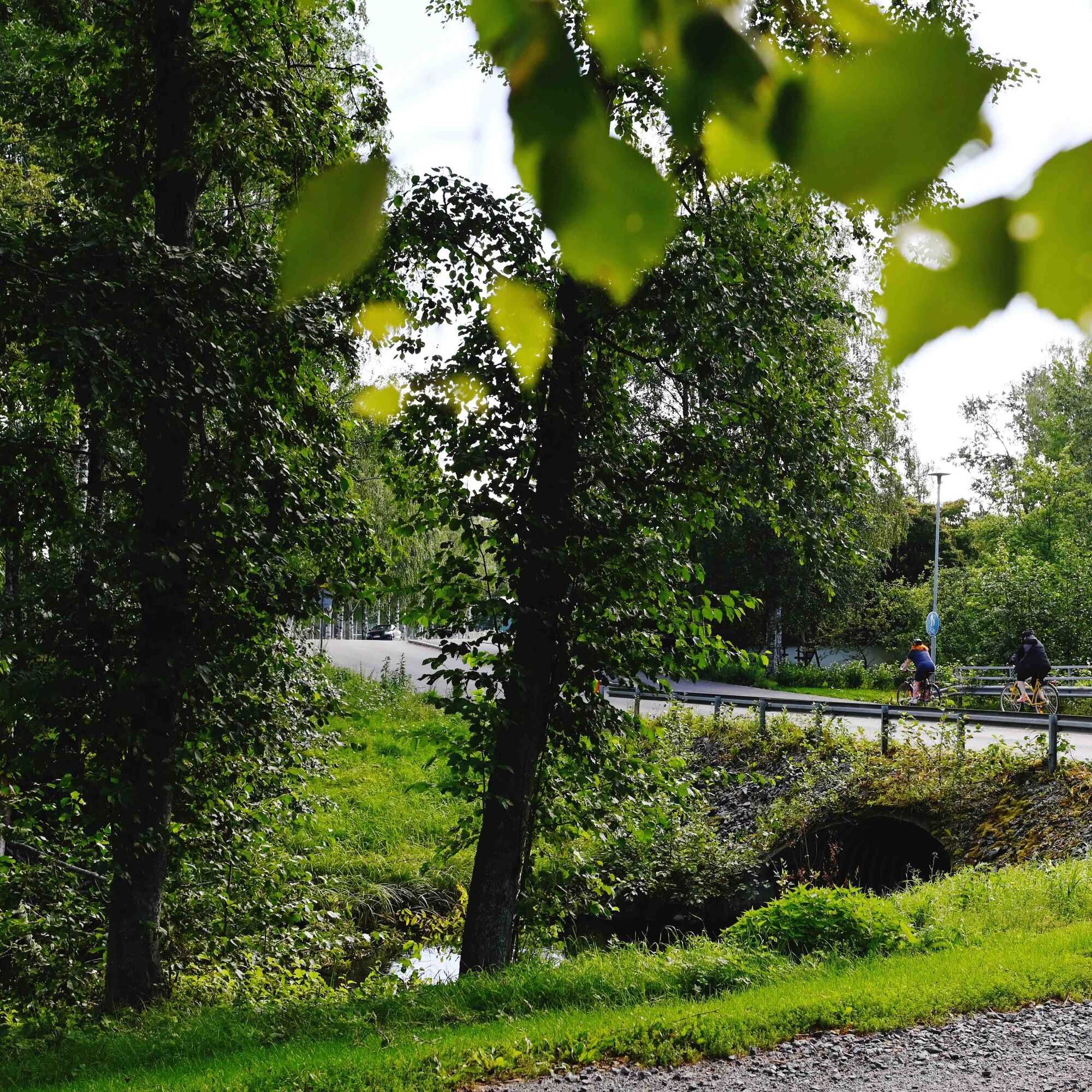
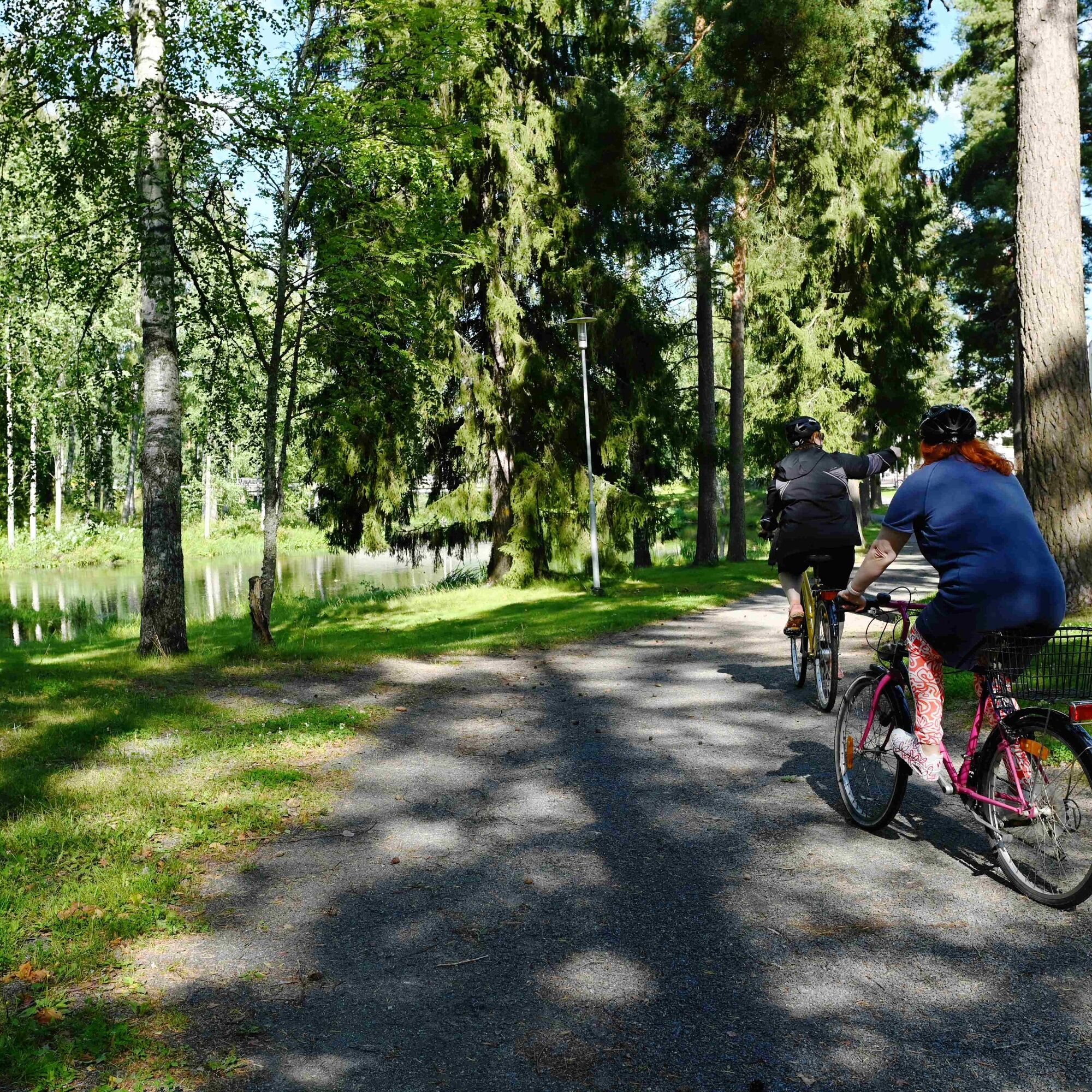
The route offers varied terrain and sights. Sometimes you are in the urban area and then in the suburbs, from where you can enter the forest. From a rocky section of the route, you move to riding a park path by the river. During the journey, it is also possible to stop at terraces or visit cultural sites.

Ano
The route mainly follows bike paths or combinations of sidewalks and bike paths. Since this is an urban area, you should pay attention to fellow travelers and reduce your speed when necessary.
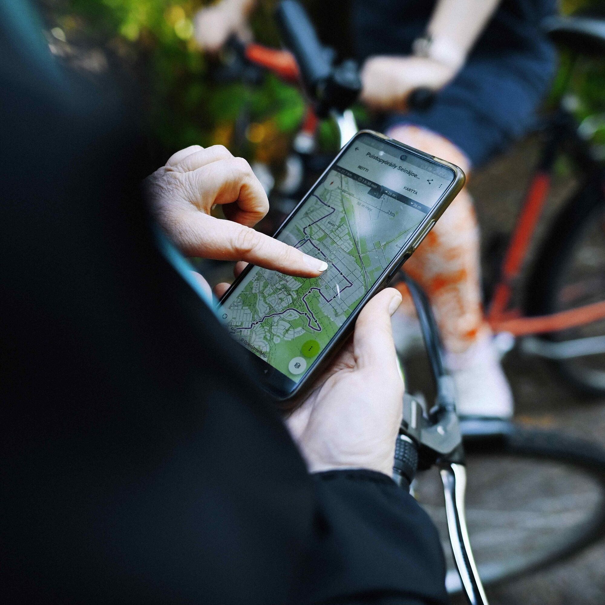
Seinäjoki is easily accessible by train and bus if arriving from afar. The travel center is located in the city center, from where it is easy to start the route.
Oblíbené prohlídky v okolí
-
Kyrkösjärvi Nature Trail
středníTuristika 5.78 km -
Keski-Nurmo’s Bridges
světloJízda na kole 33.0 km -
Kyrkösjärvi route
světloJízda na kole 18.3 km -
Seinäjoki Hiking Route
Turistika 149.5 km -
Alajoki cultural landscape route
středníJízda na kole 45.4 km -
Paukaneva Trail
světloTuristika 6.21 km -
Oravapolku Trail
světloTuristika 0.76 km -
Accessible Jouppilanvuori Adventure Trail
Turistika 6.75 km -
Jouppilanvuori Trail running route
Turistika 6.60 km -
Östermyran suuralue - Simuna - Seinäjoki - Pohja
světloTuristika 4.25 km

Pěší turistika a stopování


Nenechte si ujít nabídky a inspiraci pro vaši příští dovolenou
Vaše e-mailová adresa byl přidán do poštovního seznamu.