




Iron Curtain route from Imatra to Parikkala
The Finnish section of this EuroVelo 13 route follows the Finnish eastern border as close to Russia as possible up to the north to Näätämö. The route offers quiet and well-maintained roads as well as Finland's...
The Finnish section of this EuroVelo 13 route follows the Finnish eastern border as close to Russia as possible up to the north to Näätämö. The route offers quiet and well-maintained roads as well as Finland's magnificent forest scenery.
In South Karelia, you can ride the route from Lappeenranta to Parikkala, from where you can return through old state border areas back to Imatra. It is a great option for a 2-3 day cycling trip. Returning from Parikkala is also possible by train, which makes the route length about 80 km. In this proposal, the route starts from Imatra. Accommodation is available both in Imatra city center and at tourist areas Rauha and Ukonniemi by Lake Saimaa.
Surface materials of the route: asphalt, gravel road.
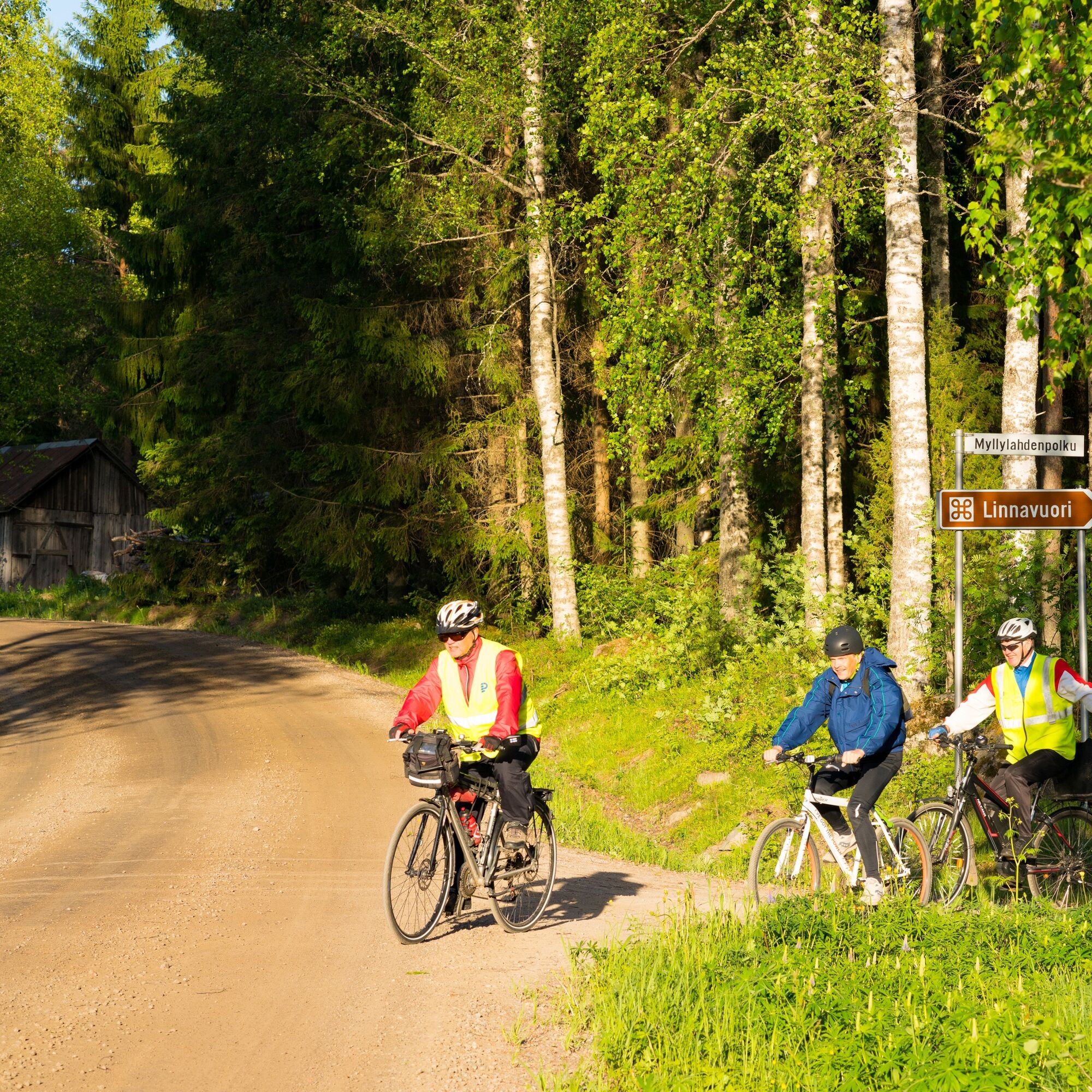
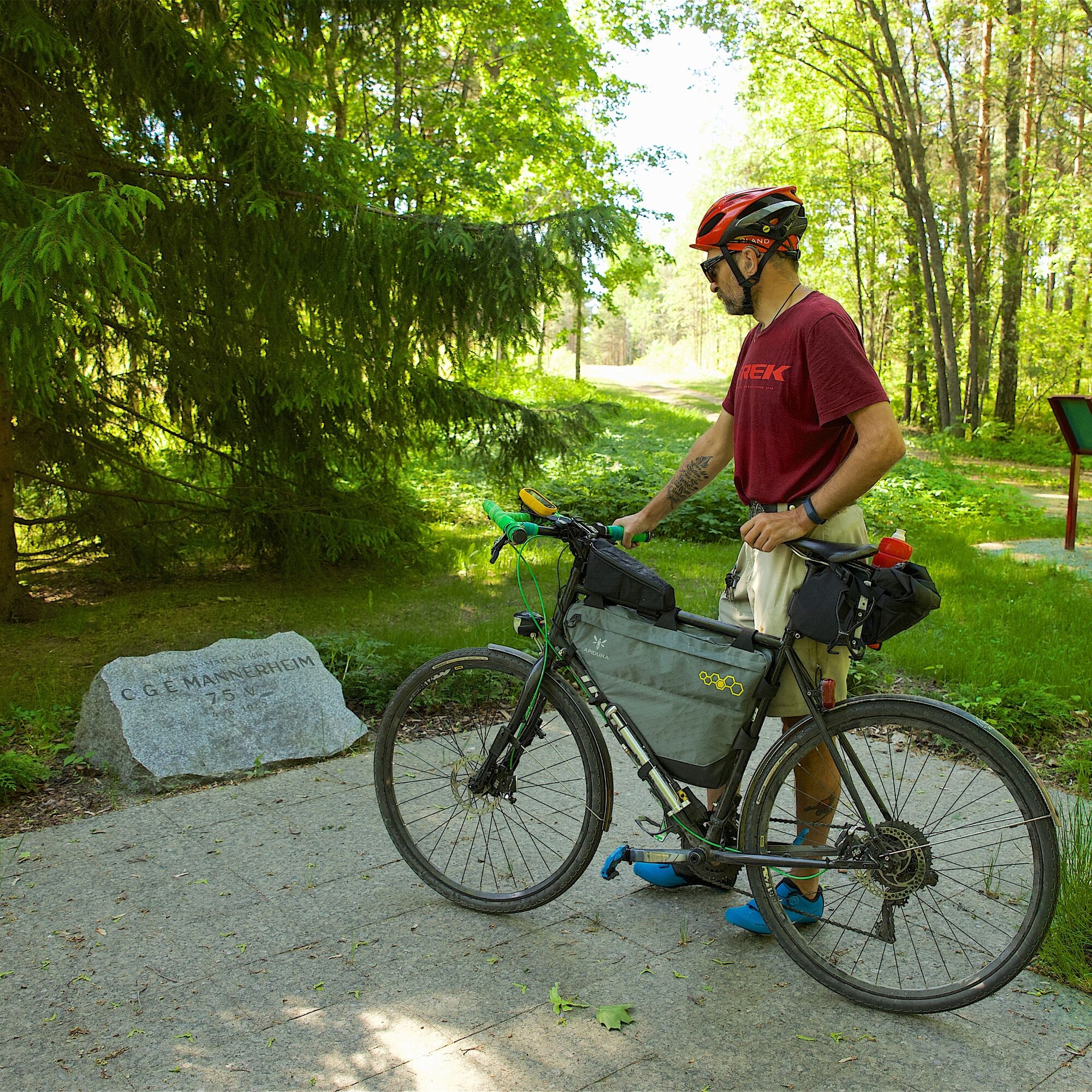
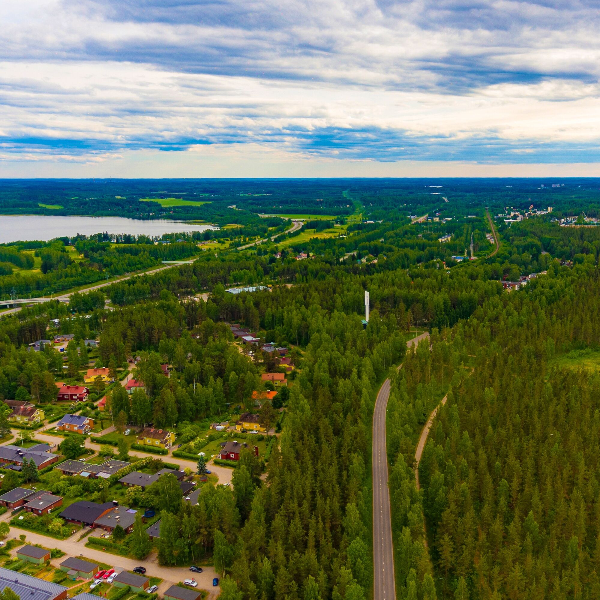
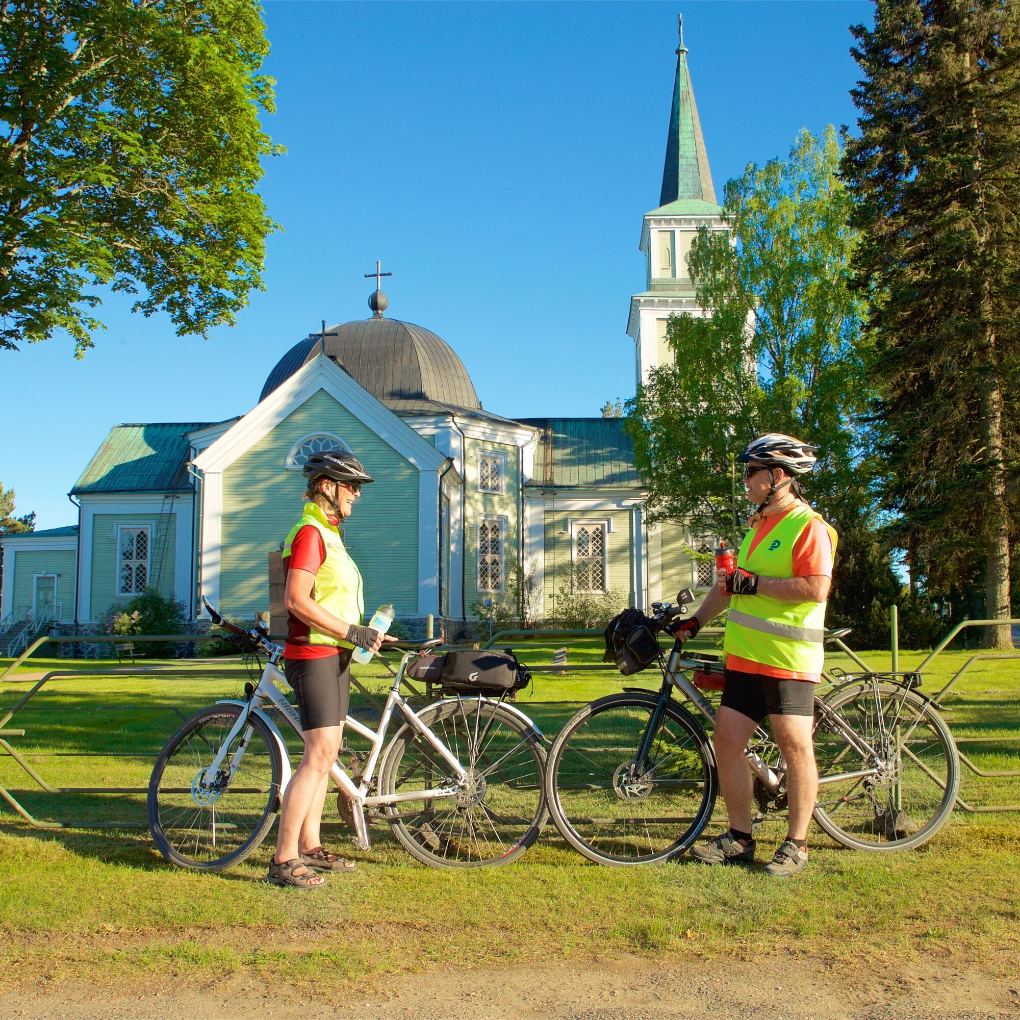

Imatra's most significant natural attraction is Imatrankoski and Vuoksi, as well as the surrounding Kruununpuisto park with city streams. The powerful flow of the Vuoksi is a key element in the cityscape of Imatra and the main river of the Saimaa water system flowing into Lake Ladoga. Vuoksi was formed about 5700 years ago with great power, leaving a chain of rapids on its way to Lake Ladoga. From Vuoksi, the route continues along a light traffic route towards the Vuoksenniska district of Imatra, which reflects the city's industrial history. It was established at a traffic junction and grew into a busy business district thanks to the forest industry.
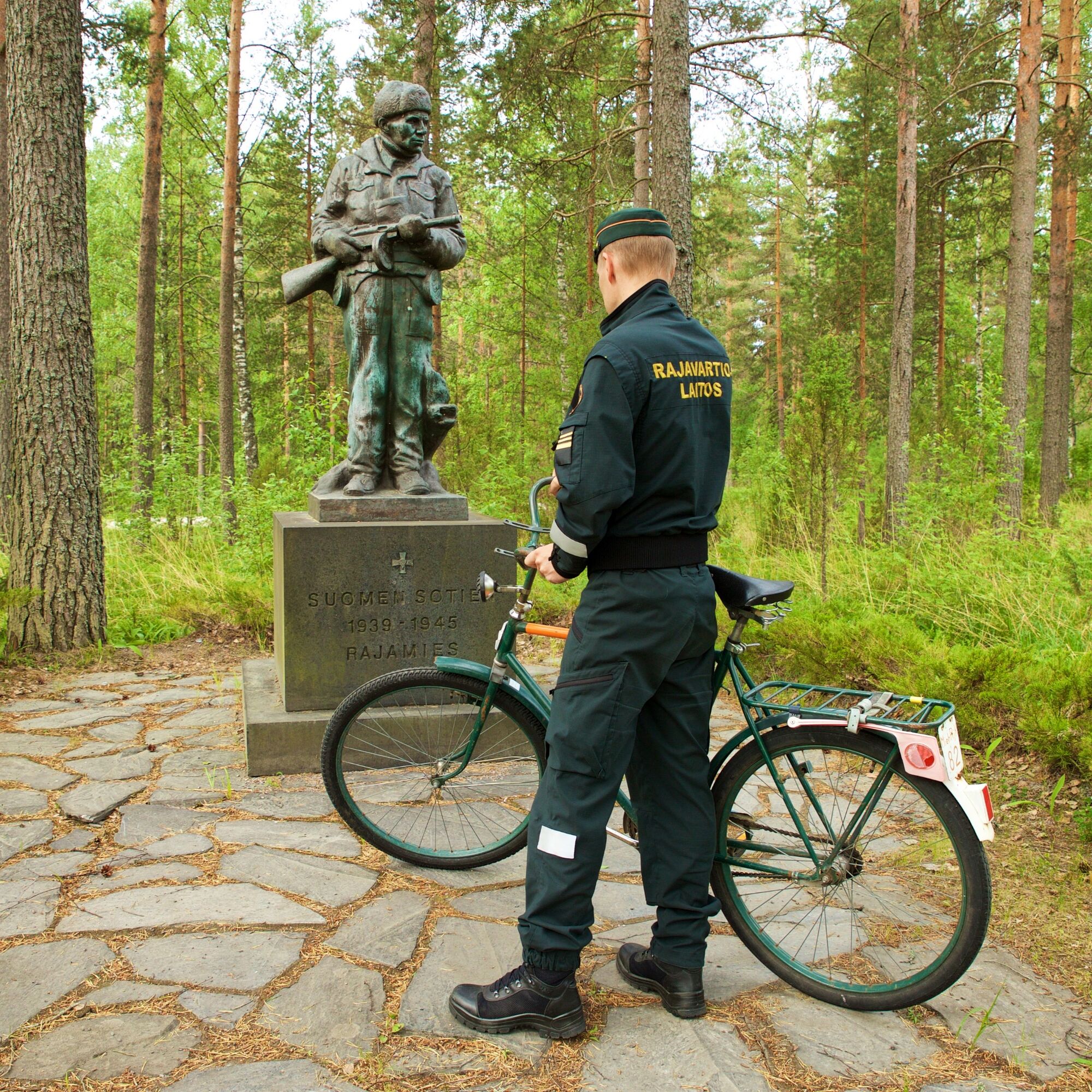
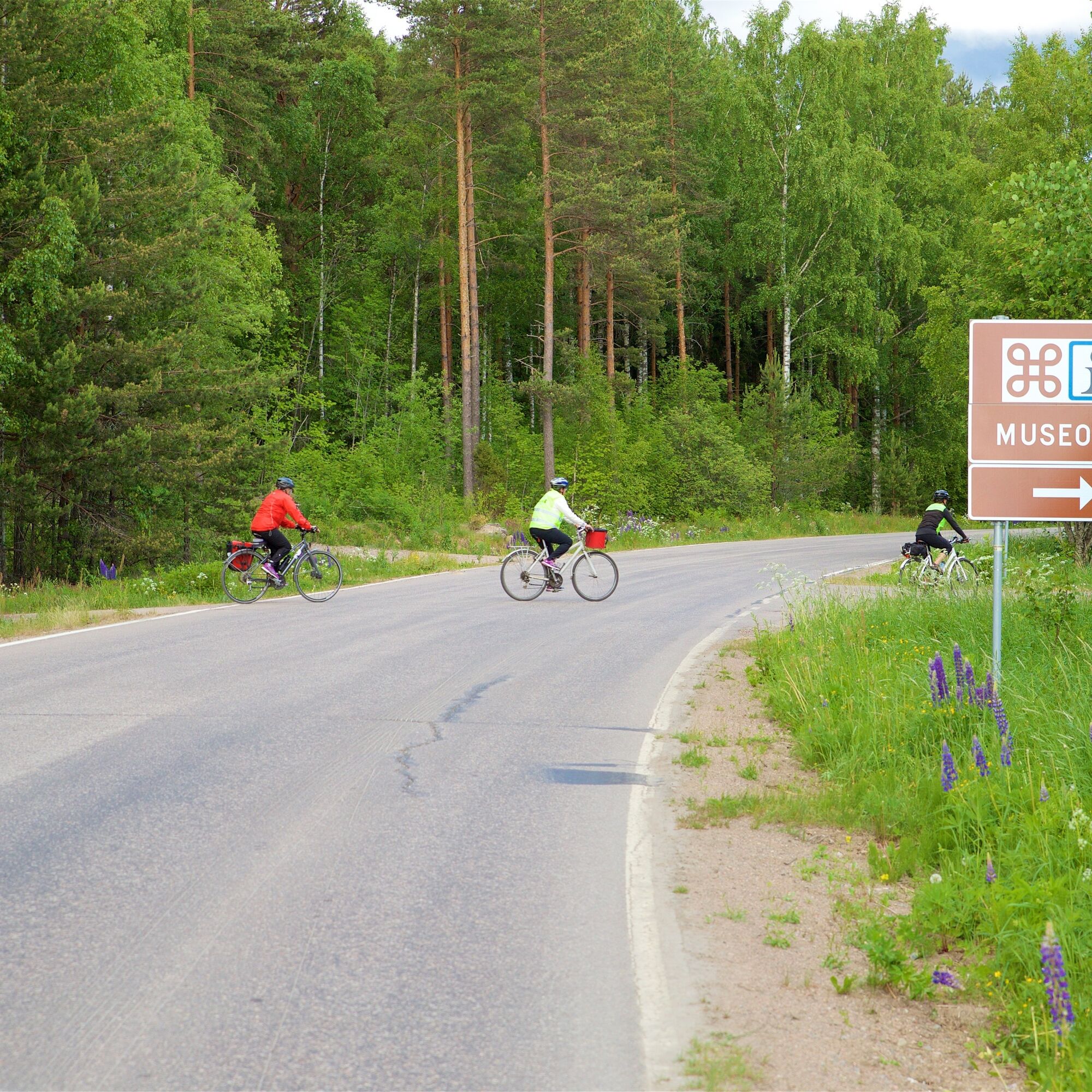
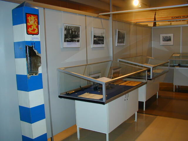
From Vuoksenniska, the route continues to Niskapietilä Museum Road, where it is worth detouring to the Border Museum to learn about the history of the Border Guard and Finland’s borders, as well as the work and life of border guards since the early years of independence. Until the 1960s, Museum Road was Highway 6, and centuries earlier it served as a military road. The road is sometimes hilly, but the climbs are not very steep.
From Museum Road, you can detour two kilometers along a gravel road to Lassila's Castle Hill, where there are signs and info boards. The hill rises by Lake Latvajärvi, near the Russian border. It is worth climbing to the top of the hill for the splendid view. From the cave, you can continue the loop back to Museum Road via Lassila. If you do not detour to Castle Hill, along the route remains Kuokkalampi Jumping Rock, with signs from Kuokkalampi Road. There is no path to the rock. The information board on top tells the history of the place's name dating back to the Great Wrath time in the 1700s.
In Miettilä, you can take a break at the old Russian Army museum barracks area and learn about the Winter War events at the Kollaa and Simo Häyhä museum. Before the industrial area of Simpele, you can warm up and rest on the Hiitola River scenic trail, where you can examine historic hydropower plants and enjoy snacks at the grill shelter. Accommodation and dining options are available in Simpele and its vicinity.
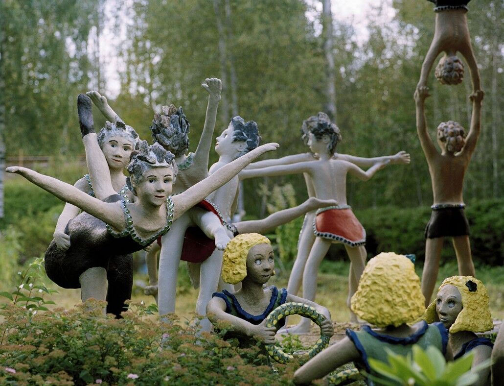
The route continues toward Parikkala along roads bordered by fields and lakes. Near the Russian-Finnish border, a few kilometers are ridden on Highway 6. On the way, you can enjoy the products of the country store Iloinen Pässi and marvel at the concrete inhabitants of the Parikkala Sculpture Park. There are over 500 different cast sculptures, and the park has been named one of the world's scariest tourist destinations. Immediately after the sculpture park lies the border zone along the highway.
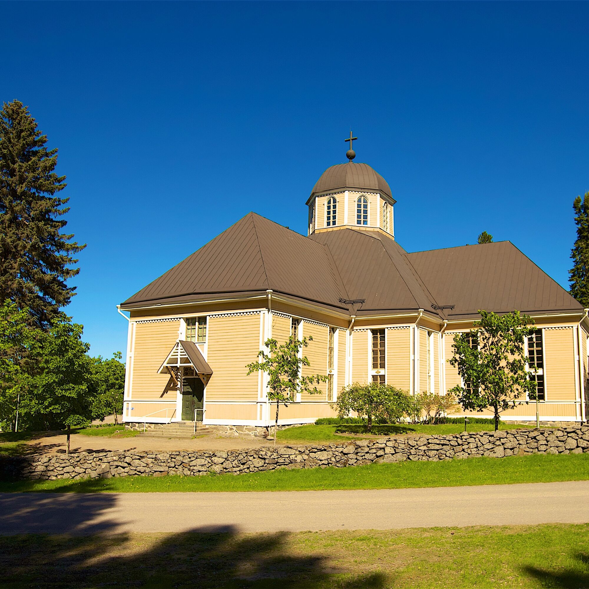
Approaching Parikkala along the beautiful Ristimäki road, you can almost feel the history radiating from the old houses. In Parikkala, as elsewhere in South Karelia, there are many monuments for those fallen in war as well as to those who remained in Karelia. An interesting accommodation option is Hotel-Restaurant Kägöne located along Highway 6 – a magnificent log building representing Karelian architecture.
Near Parikkala town center lies Siikalahti, a bay in the eastern part of Lake Simpelejärvi, where an exceptionally diverse breeding and migratory bird population creates a true bird paradise: over a hundred species can be observed in one day. During midsummer, the bird lake may be quiet, but as a nature destination it is still worth seeing.
Return options
You can return from Parikkala by train to Imatra or travel by train or bicycle to Savonlinna. Of course, you can also return to Imatra by bicycle, with the return route offering peaceful forest scenery in a century-old border area. From Parikkala center, the route first goes towards Särkisalmi, which divides Lake Simpelejärvi into two parts.
When departing from Särkisalmi, make sure to bring sufficient food and drinks, as there are no commercial services on the next section. The roads are small and winding gravel roads. The cyclist really feels in the middle of nature. It is worth detouring to Haukkavuori, although it requires about a two-kilometer ride from the route along the road and another kilometer along a trail.
Haukkavuori, located on the border of the municipalities of Ruokolahti and Rautjärvi, is the highest point in South Karelia, rising about 80 meters above the surface of Lake Sarajärvi. A magnificent view opens from the top. Haukkavuori is the point of the three borders of Sweden and Russia, where a sharp-eyed can find the Uusikaupunki peace border mark carved into the rock from 1722. Other peace treaties passing through Haukkavuori are Pähkinäsaaren (1323) and Täyssinä (1595). In total, there are nine peace negotiations between Russia and Sweden as well as later between the Soviet Union and Finland.
From Haukkavuori, return to Sarajärventie road and continue towards Lake Torsajärvi. At the northern end of the lake, Torsanpää, there is a resting place with a nearby swamp trail and a cozy lean-to shelter. In Pohjalankila, two kilometers away, the Käpälämäki café offers food and drinks.
From Pohjalankila onwards, ride paved side roads first to Virmutjoki and then along a busier road to Ruokolahti. In Ruokolahti center at Rasila, commercial services and restaurants are available. The Ruokolahti lion is visible as a statue in the market square.
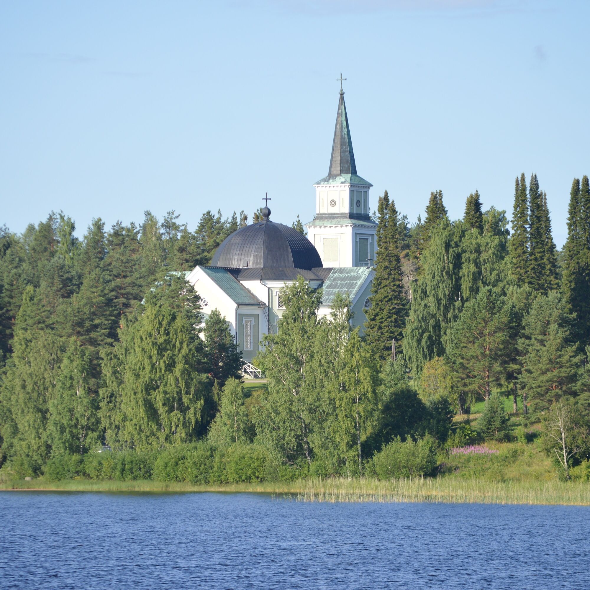
About a kilometer from the center is Ruokolahti’s Kirkonmäki, where the bell tower built in 1752 and the church completed in 1854 tell about the history. The place of Albert Edelfelt’s famous painting Ruokolahden eukkoja kirkonmäellä (Women of Ruokolahti on Church Hill) is found at the southeast corner of the church. On the hill is a local heritage museum and the Ruokolahti House with summer cafés. From Ruokolahti, the route continues through Salosaari and Vuoksenniska to Imatra, where cyclists await spa, hotel, and restaurant services.
Ano
Dress appropriately for the trip. It is also recommended to bring first aid equipment, rainwear, spare clothes, as well as sufficient snacks and drinks.
Surface materials of the route: asphalt and gravel road. There are about 20 km of gravel roads on the route.
Before the trip, it is good to obtain the necessary maps and guides and check the weather forecasts.
In case of emergency, call 112. Tell your location, what has happened, and listen to instructions.
You can start the route from Imatra Travel Center, address: Koskikatu 1, 55120 Imatra.
You can return from the route from Parikkala railway station, address: Parikkalantie 12, 59100 Parikkala.
The starting point of the route is Imatra Travel Center, served by trains and buses.
You can return from the route by cycling or by train from Parikkala railway station to Imatra.
You can check train timetables on the VR website.
Bus timetables can be checked at Matkahuolto.
There are free parking spaces at Imatra Travel Center.
The route can be combined with the Lintuinmaa cycling route.
The route consists of approx. 20 km of dirt road and long rural sections without services.
Oblíbené prohlídky v okolí
-
Rajat trail, Ruokolahti (E10)
heavydálková pěší trasa 76.3 km -
Haukkavuori Nature Trail, Rautjärvi
středníTematická stezka 4.37 km -
Hiitolanjoki routes Ritakoski-Lahnasenkoski area
středníTematická stezka 5.89 km -
Rajojen route, Rautjärvi (E10)
heavydálková pěší trasa 19.6 km -
Torsanjoki nature trail, Ruokolahti
světloTematická stezka 1.44 km -
BORDERS AND BEYOND – AN EXPERIENTIAL ROUTE
Jízda na kole 145.4 km -
Savonlinna - Punkaharju - Lappeen Marian kirkko - Kylpylä
Motorrad 157.0 km -
Rautjärvi - Haukkavuori
světloTuristika 3.93 km
Pěší turistika a stopování


Nenechte si ujít nabídky a inspiraci pro vaši příští dovolenou
Vaše e-mailová adresa byl přidán do poštovního seznamu.





