Horam Chapel - St Mary Magdalene - Church of St. Mary the Virgin - Exceat Hill
střední
Navigace na stránkách
Navigace na stránkách
Pořiďte si tuto prohlídku do mobilního telefonu
Horam Chapel - St Mary Magdalene - Church of St. Mary the Virgin - Exceat Hill
střední
Silniční kolo
65.83
km
Naskenujte QR kód a spusťte navigaci v aplikaci bergfex.

Pěší turistika a stopování


Horam Chapel - St Mary Magdalene - Church of St. Mary the Virgin - Exceat Hill
střední
Vzdálenost
65.83
km
Doba trvání
03:21
h
Ascent
684
hm
Hladina moře
2 -
159
m
Stažení skladby
Horam Chapel - St Mary Magdalene - Church of St. Mary the Virgin - Exceat Hill
střední
Silniční kolo
65.83
km
Trasa
Horam Chapel
(69 m)
Místo konání bohoslužeb
0.0 km
St Mary Magdalene
(34 m)
Místo konání bohoslužeb
14.0 km
St Wilfrid's Church Pevensey Bay
(5 m)
Místo konání bohoslužeb
20.3 km
Eastbourne
(11 m)
Město
27.8 km
Exceat Hill
(65 m)
Summit
43.1 km
St Michael the Archangel
(9 m)
Místo konání bohoslužeb
47.0 km
Horam Chapel
(69 m)
Místo konání bohoslužeb
65.8 km
Trasa
Horam Chapel - St Mary Magdalene - Church of St. Mary the Virgin - Exceat Hill
střední
Silniční kolo
65.83
km
Horam Chapel
(69 m)
Místo konání bohoslužeb
0.0 km
Horam
(74 m)
Vesnice
0.0 km
Marle Green
(58 m)
Vesnice
1.6 km
Grove Hill
(73 m)
Vypořádání
4.7 km
Stunts Green
(80 m)
Vypořádání
6.6 km
Eastern Promise
(47 m)
Restaurace
8.7 km
Herstmonceux
(46 m)
Vesnice
8.8 km
The Sundial Restaurant
(45 m)
Restaurace
8.8 km
Windmill Hill
(50 m)
Vesnice
9.9 km
Wartling
(32 m)
Vesnice
14.0 km
St Mary Magdalene
(34 m)
Místo konání bohoslužeb
14.0 km
Pevensey
(3 m)
Vesnice
18.8 km
Pevensey Bay
(4 m)
Železniční stanice
19.2 km
Pevensey Bay
(4 m)
Vesnice
20.2 km
Ocean View Bakery & Restaurant
(5 m)
Restaurace
20.2 km
Miah Traditional Indian Restaurant And Takeaway
(5 m)
Restaurace
20.2 km
Pevensey Baptist Church
(6 m)
Místo konání bohoslužeb
20.3 km
St Wilfrid's Church Pevensey Bay
(5 m)
Místo konání bohoslužeb
20.3 km
Langney Village
(3 m)
Sousedství
23.2 km
St Anthony's Hill
(6 m)
Sousedství
23.9 km
Eastbourne
(11 m)
Město
27.8 km
Holywell
(47 m)
Sousedství
29.5 km
Beachy Head
(156 m)
Restaurace
33.1 km
Birling Gap
(15 m)
Vesnice
37.4 km
East Dean
(47 m)
Vesnice
39.3 km
Friston
(115 m)
Vesnice
40.2 km
Church of St. Mary the Virgin
(112 m)
Místo konání bohoslužeb
40.2 km
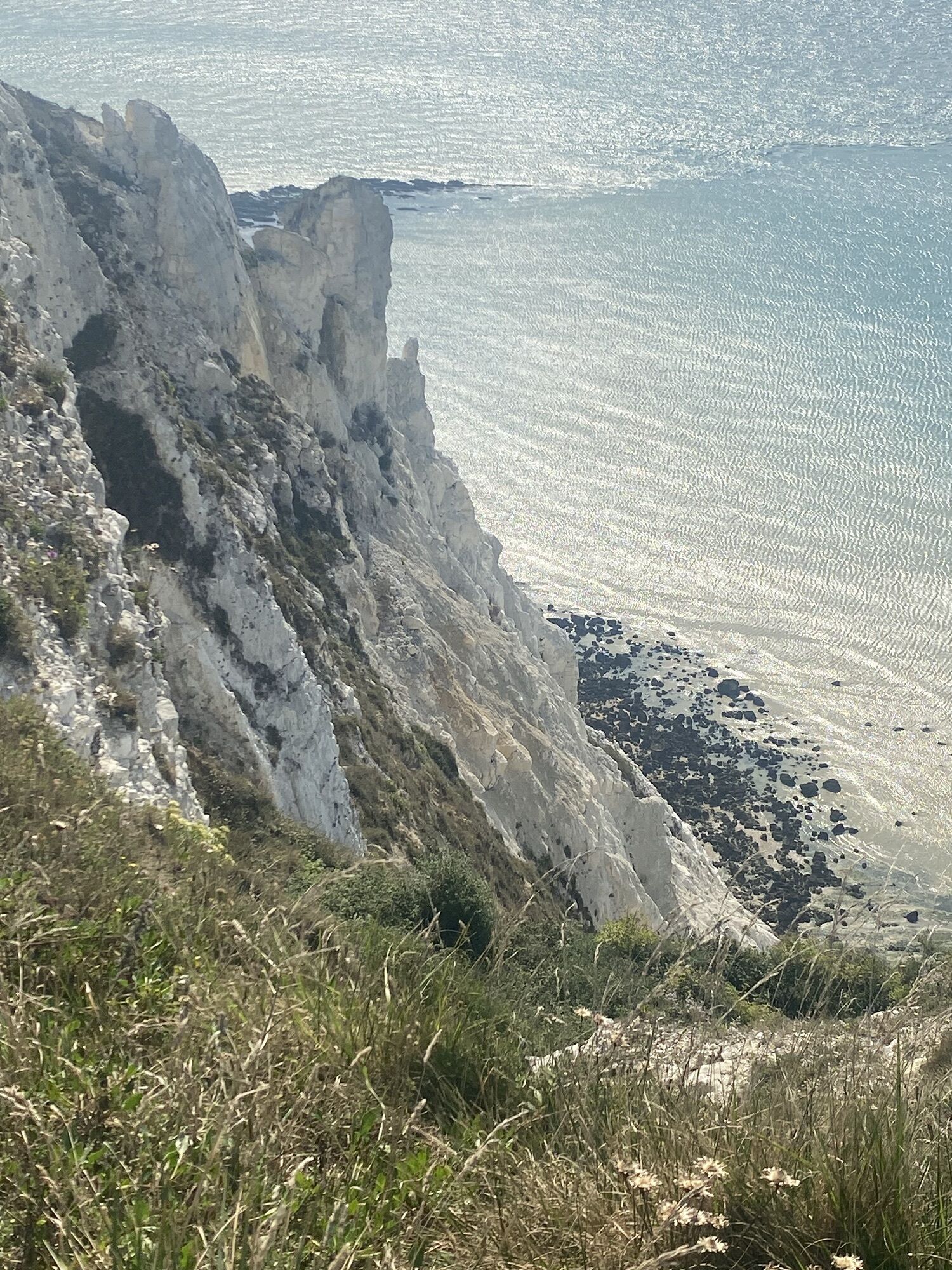
Exceat Hill
(65 m)
Summit
43.1 km
Westdean
(7 m)
Vesnice
43.6 km
Exceat
(6 m)
Vesnice
43.9 km
Litlington
(8 m)
Vesnice
46.8 km
St Michael the Archangel
(9 m)
Místo konání bohoslužeb
47.0 km
Alfriston
(9 m)
Vesnice
48.3 km
Explorers Cafe
(14 m)
Restaurace
50.3 km
Berwick
(25 m)
Železniční stanice
52.3 km
Wickstreet
(21 m)
Vypořádání
54.9 km
The Dicker
(26 m)
Vypořádání
56.4 km
Nash Street
(37 m)
Vypořádání
60.1 km
Gun Hill
(61 m)
Vypořádání
62.4 km
Pick Hill
(73 m)
Vypořádání
63.2 km
Horam
(74 m)
Vesnice
65.6 km
Horam Chapel
(69 m)
Místo konání bohoslužeb
65.8 km
Zatím žádné recenze
Oblíbené prohlídky v okolí
-
Beachy Head
světloTuristika 3.51 km -
Seaford - St Leonard's Church - Eastbourne
středníTuristika 21.7 km -
St Andrew's Church, Alfriston - St Mary and St Peter's Church. - Combe Hill - Boreham Street
Poutní stezka 33.4 km -
Lewes - Firle Beacon - Bostal Hill - St Andrew's Church, Alfriston
Poutní stezka 24.0 km -
St Andrew's Church, Alfriston - Selmeston Church - St Mary and St Peter's Church. - Alfriston
Poutní stezka 19.9 km -
Boreham Street - Penhurst Parish Church - St Laurence - Senlac Hill
Poutní stezka 18.2 km -
Uckfield - Rajdutt Restaurant - St John the Baptist
středníSilniční kolo 65.5 km -
Bexhill-on-Sea - Central
světloTuristika 6.08 km -
Chiddingly - Chiddingly Church - Muddles Green
světloTuristika 5.68 km -
Herstmonceux - Herstmonceux Free Church - All Saints' Church - The Sundial Restaurant
středníTuristika 11.7 km
Pěší turistika a stopování

Více než 550.000 návrhů výletů, podrobné mapy a intuitivní plánovač tras dělají z aplikace nezbytnou výbavu pro všechny milovníky přírody.

Nenechte si ujít nabídky a inspiraci pro vaši příští dovolenou
Přihlaste se k odběru newsletteru
Chyba
Došlo k chybě. Zkuste to prosím znovu.
Děkujeme za vaši registraci
Vaše e-mailová adresa byl přidán do poštovního seznamu.
Zájezdy po celé Evropě
Rakousko
Švýcarsko
Německo
Itálie
Slovenia
Francie
Nizozemsko
Belgie
Polsko
Lichtenštejnsko
Česko
Slovensko
Španělsko
Chorvatsko
Bosna a Hercegovina
Lucembursko
Andorra
Portugal
Iceland
United Kingdom
Ireland
Greece
Albania
North Macedonia
Malta
Norway
Montenegro
Moldova
Kosovo
Hungary
San Marino
Romania
Estonia
Latvia
Belarus
Cyprus
Lithuania
Serbia
Bulgaria
Monaco
Denmark
Sweden
Finland