
Transmitter circular hiking route - Markt Neuhodis
střední
Pořiďte si tuto prohlídku do mobilního telefonu
Transmitter circular hiking route - Markt Neuhodis
střední
Turistika
14.16
km
Naskenujte QR kód a spusťte navigaci v aplikaci bergfex.


Pěší turistika a stopování





Transmitter circular hiking route - Markt Neuhodis
střední
Vzdálenost
14.2
km
Doba trvání
04:17
h
Ascent
535
hm
Hladina moře
317 -
860
m

Navigujte po trase v aplikaci
Nainstalujte si aplikaci zdarma a mějte trasu vždy na očích díky GPS navigaci a sledování polohy.
Využijte nyní službu „ bergfex “ v aplikaci
Naskenuj QR kód pomocí fotoaparátu
Jakmile je aplikace nainstalována, obsah se otevře přímo. Pokud aplikaci ještě nemáš, budeš přesměrován na stránku, kde si ji můžeš zdarma stáhnout.
Stažení skladby
Transmitter circular hiking route - Markt Neuhodis
střední
Turistika
14.16
km
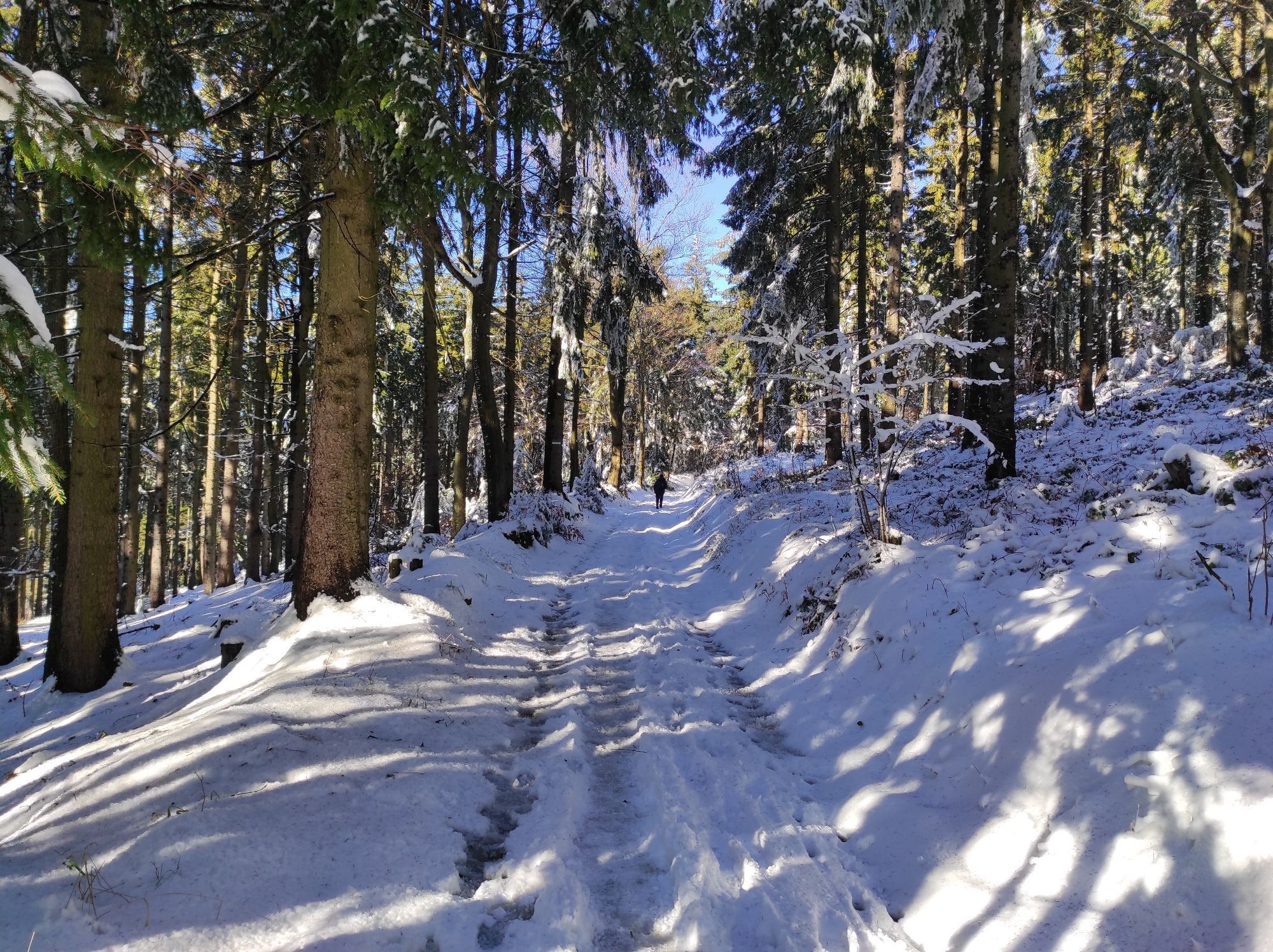

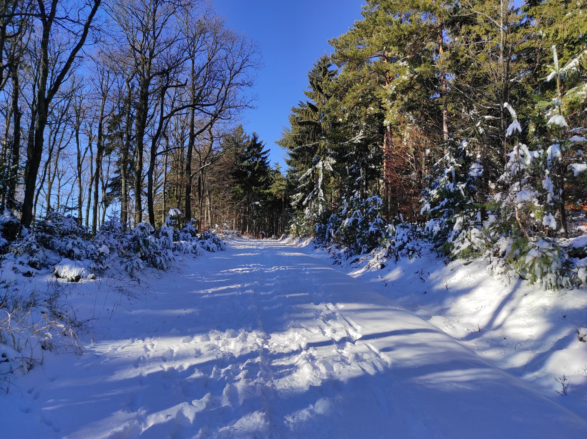
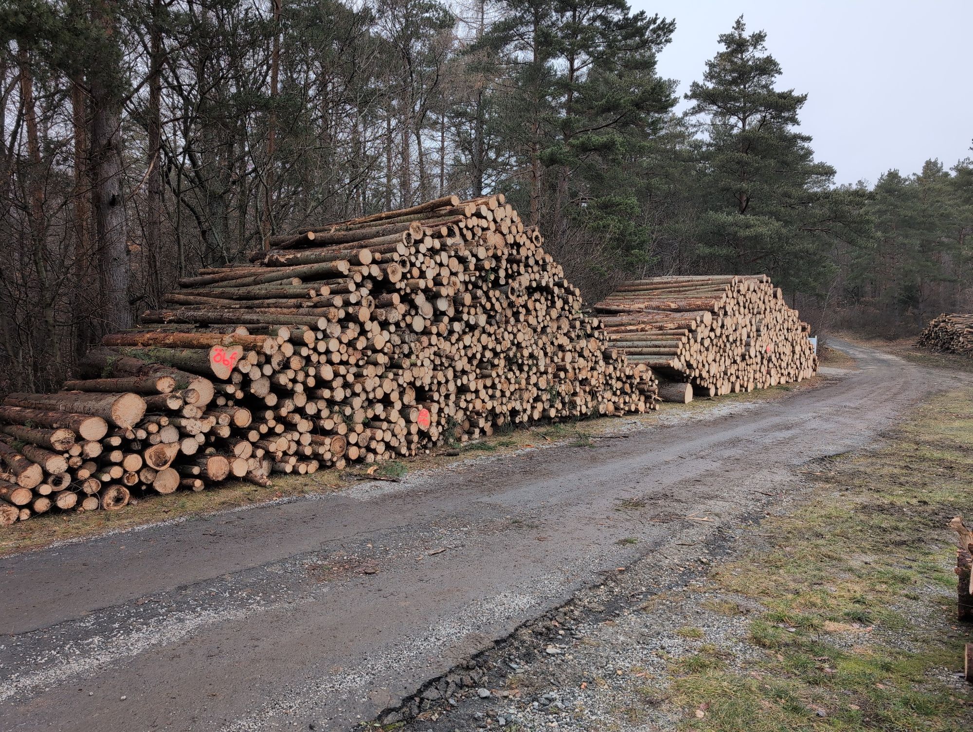
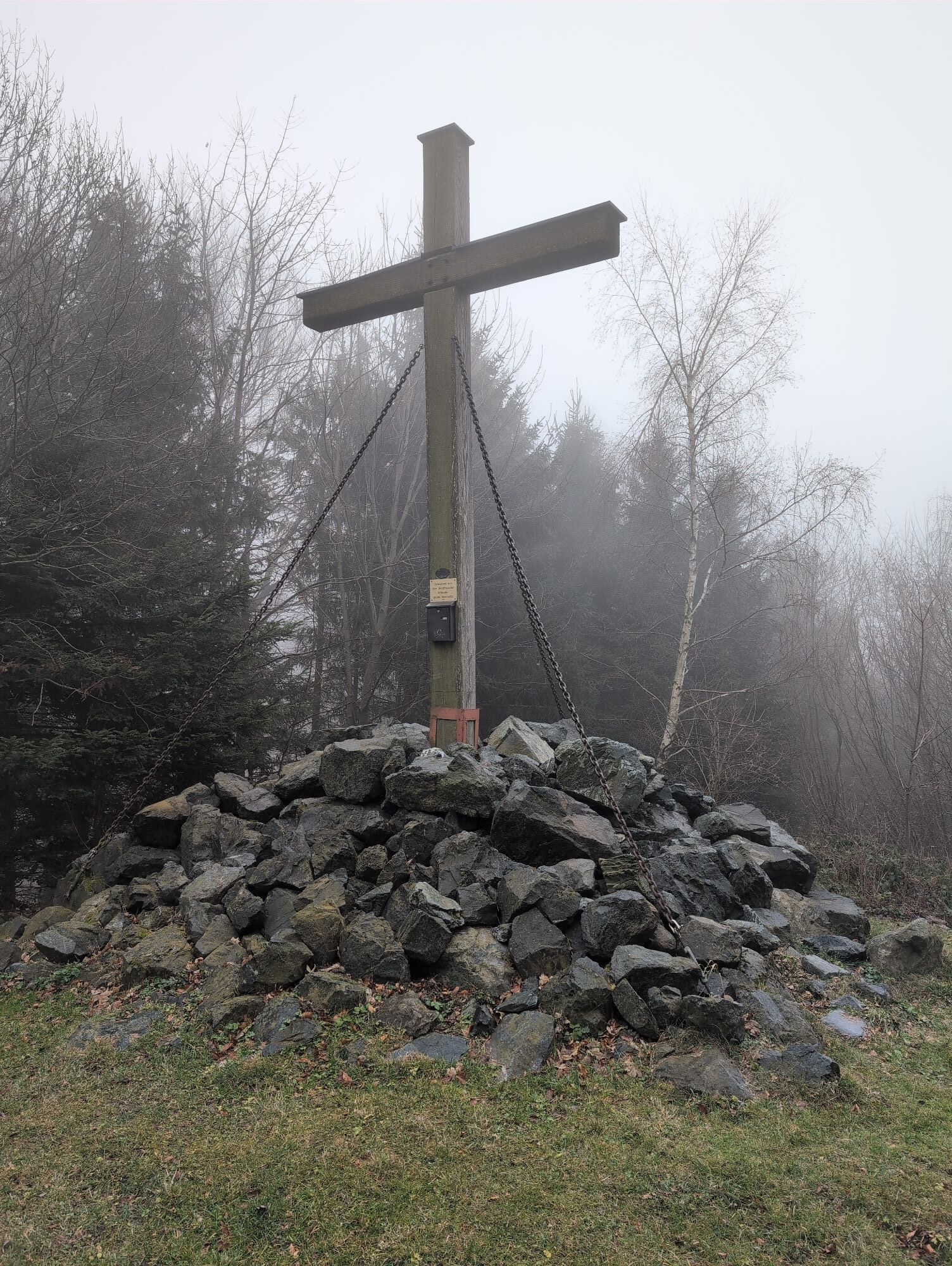



Trasa
Gasthaus Glavanics
(314 m)
Restaurace
0.0 km
Markt Neuhodis
(313 m)
Vesnice
0.0 km
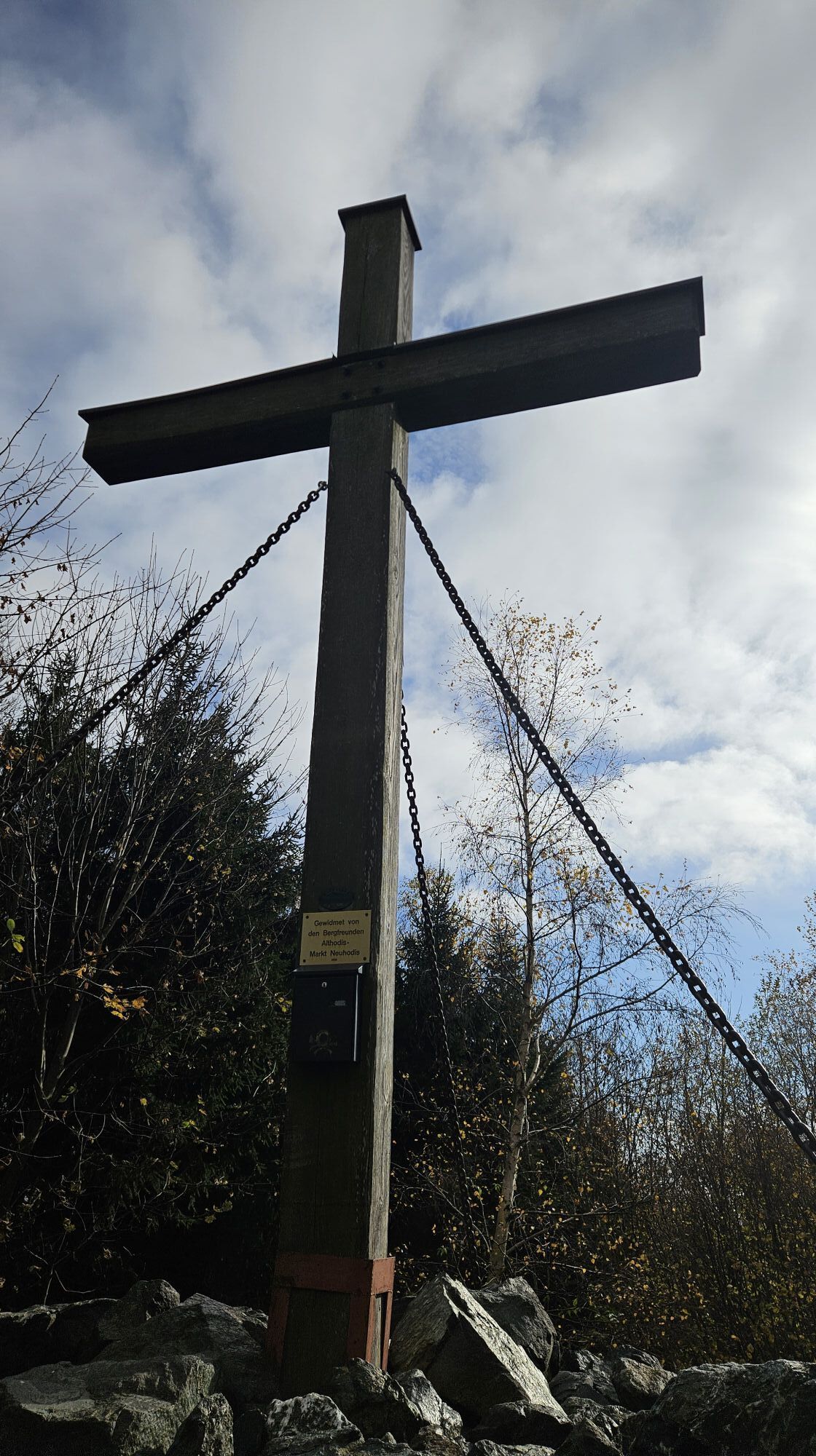
Hubertuskapelle
(342 m)
Místo konání bohoslužeb
0.9 km
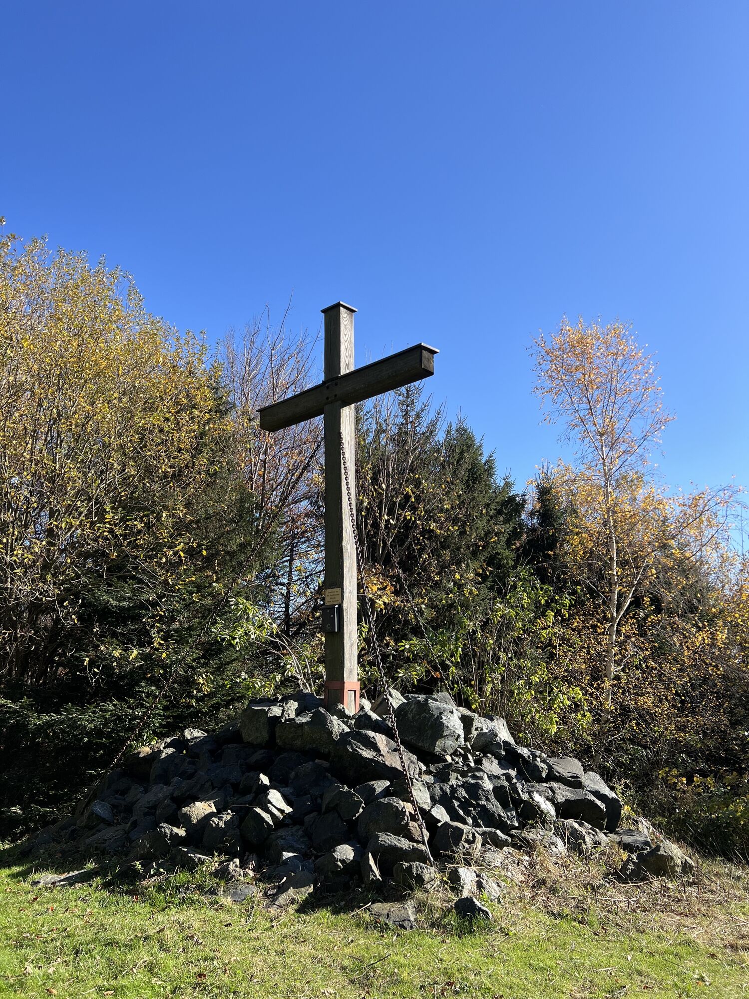
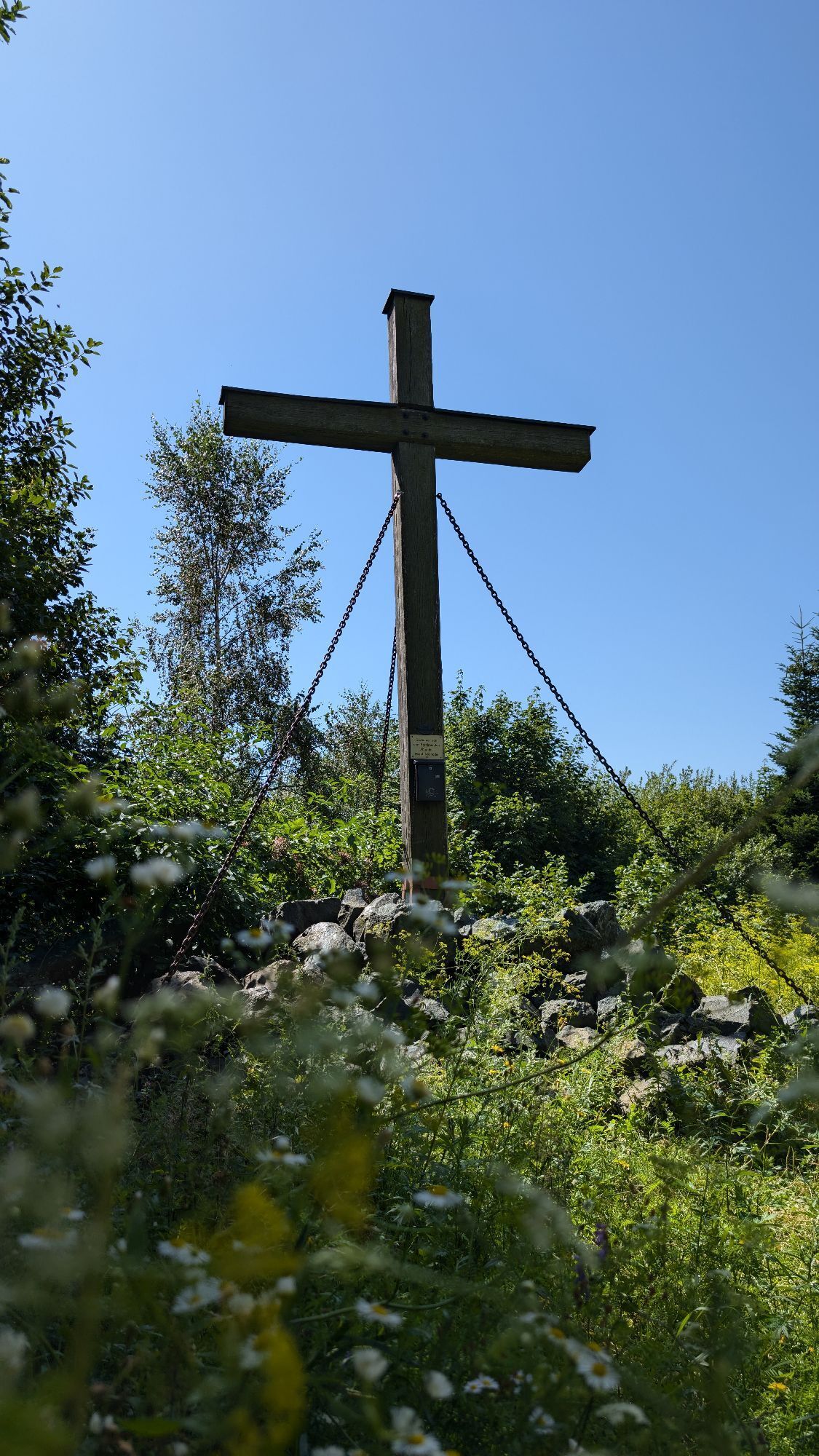
Großer Hirschenstein
(862 m)
Summit
7.1 km
Wald-Wirt
(443 m)
Restaurace
11.0 km
Althodis/Stari Hodas
(440 m)
Vesnice
11.1 km
Markt Neuhodis
(313 m)
Vesnice
14.1 km
Trasa
Transmitter circular hiking route - Markt Neuhodis
střední
Turistika
14.16
km
Gasthaus Glavanics
(314 m)
Restaurace
0.0 km
Markt Neuhodis
(313 m)
Vesnice
0.0 km
Hubertuskapelle
(342 m)
Místo konání bohoslužeb
0.9 km
Hodisbachstollen
(365 m)
Vchod do jeskyně
1.4 km
Großer Hirschenstein
(862 m)
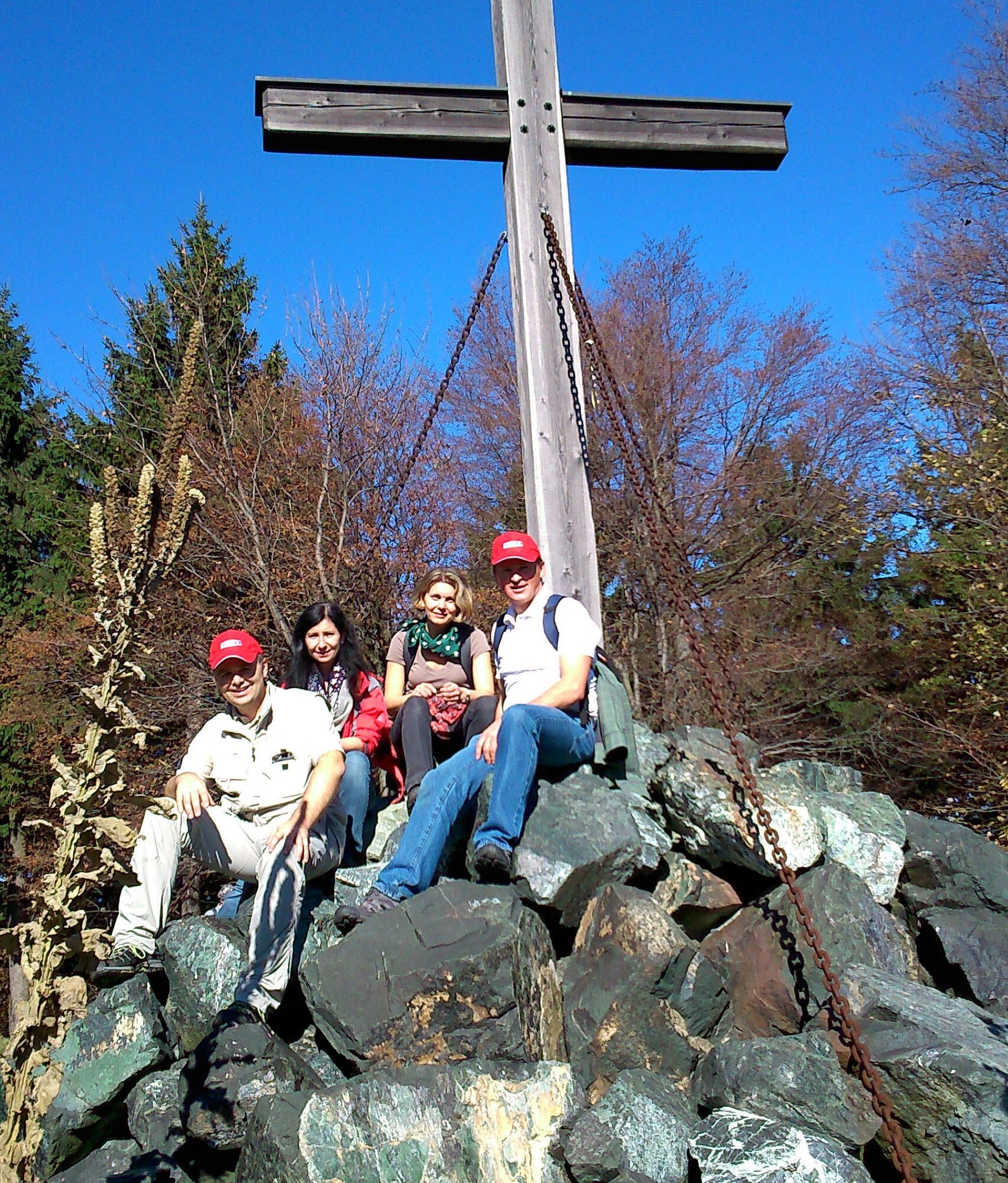
Summit
7.1 km
Filialkirche Zur Kreuzauffindung
(435 m)
Místo konání bohoslužeb
10.8 km
Wald-Wirt
(443 m)
Restaurace
11.0 km
Althodis/Stari Hodas
(440 m)
Vesnice
11.1 km
Gasthaus Glavanics
(314 m)
Restaurace
14.1 km
Markt Neuhodis
(313 m)
Vesnice
14.1 km
Autor
Poskytuje Tourismusverband Südburgenland
Prohlídku Transmitter circular hiking route - Markt Neuhodis zajišťuje outdooractive.com.


Informace o trase
Trasa
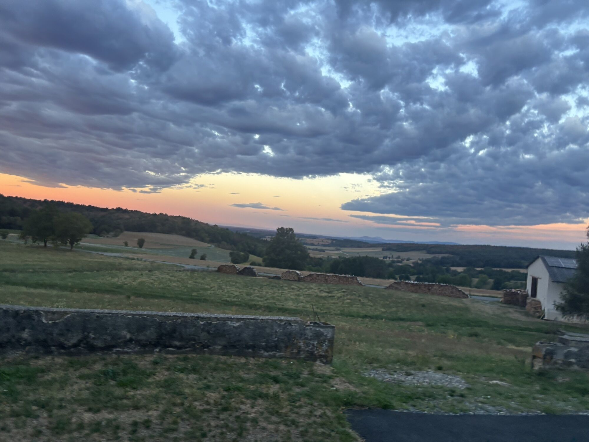
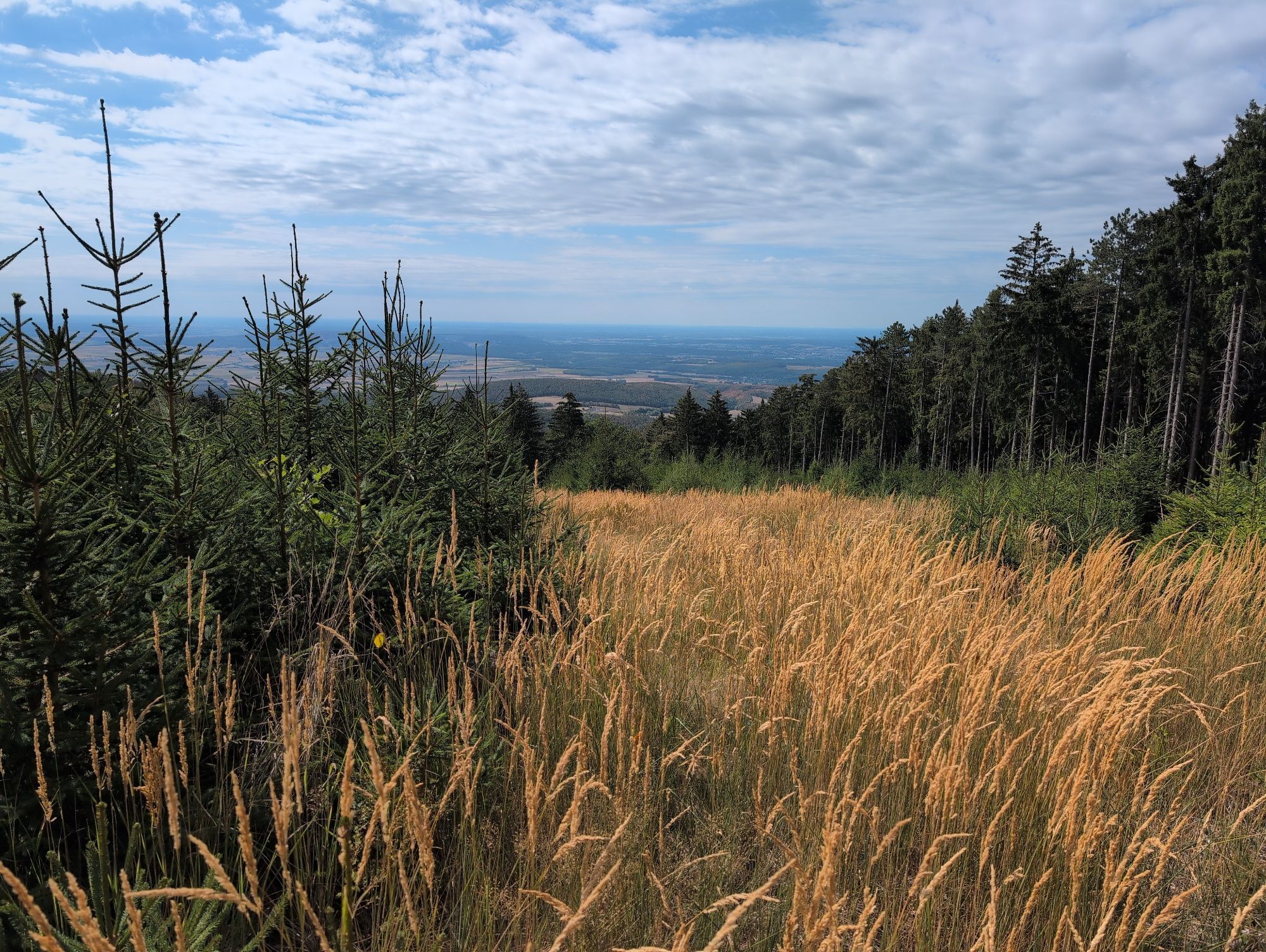
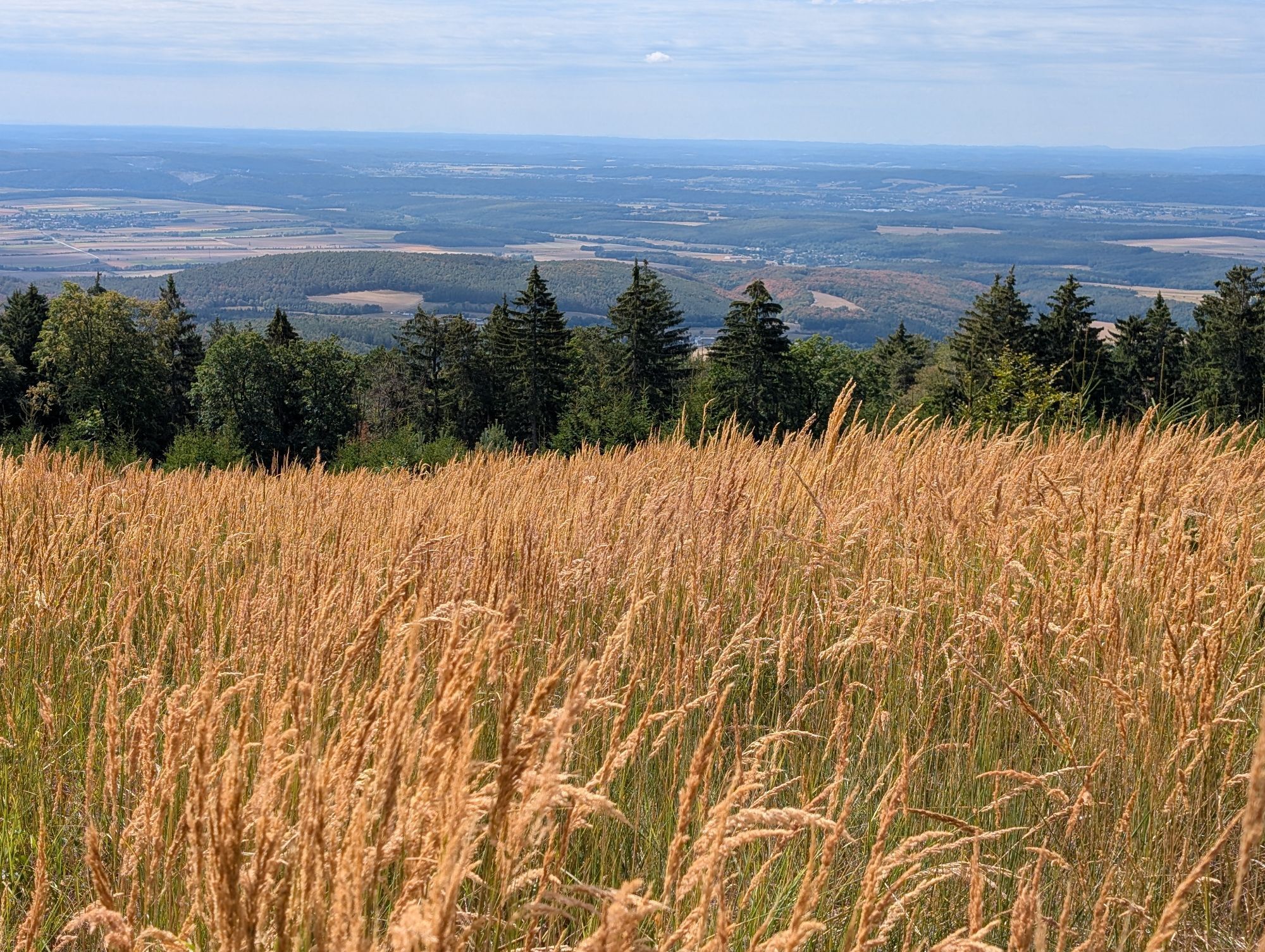
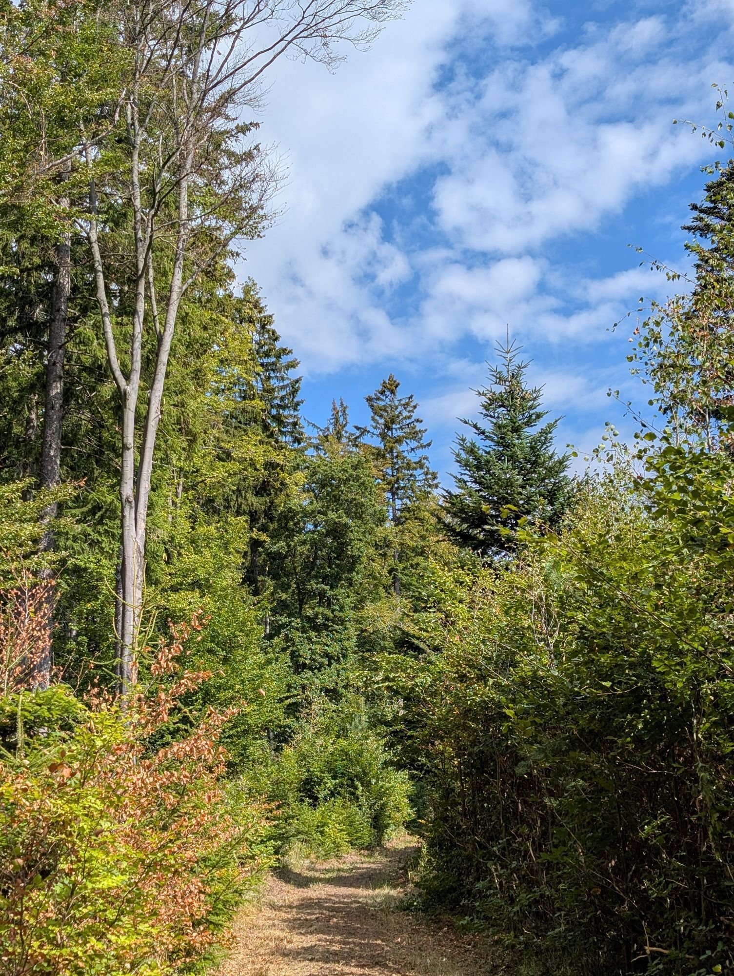
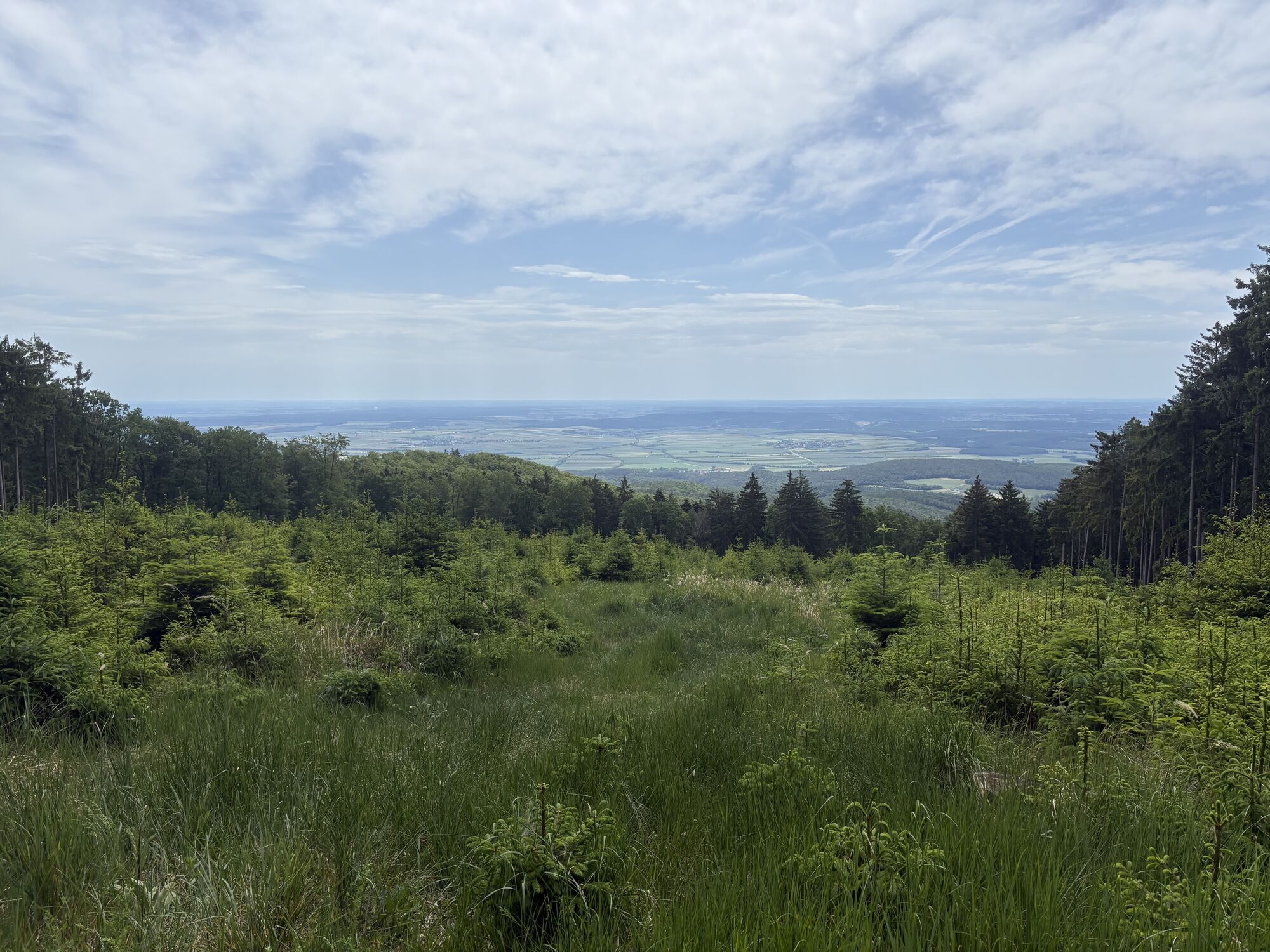
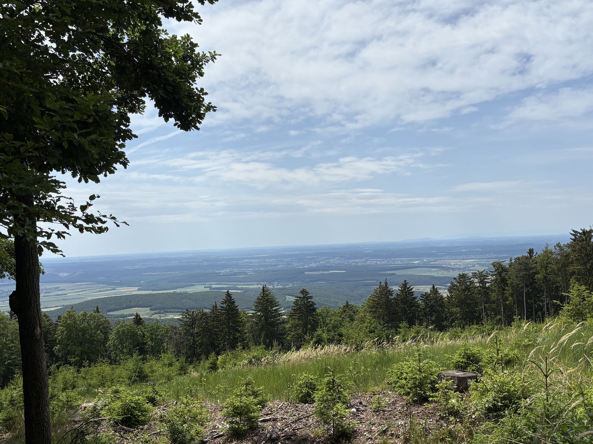
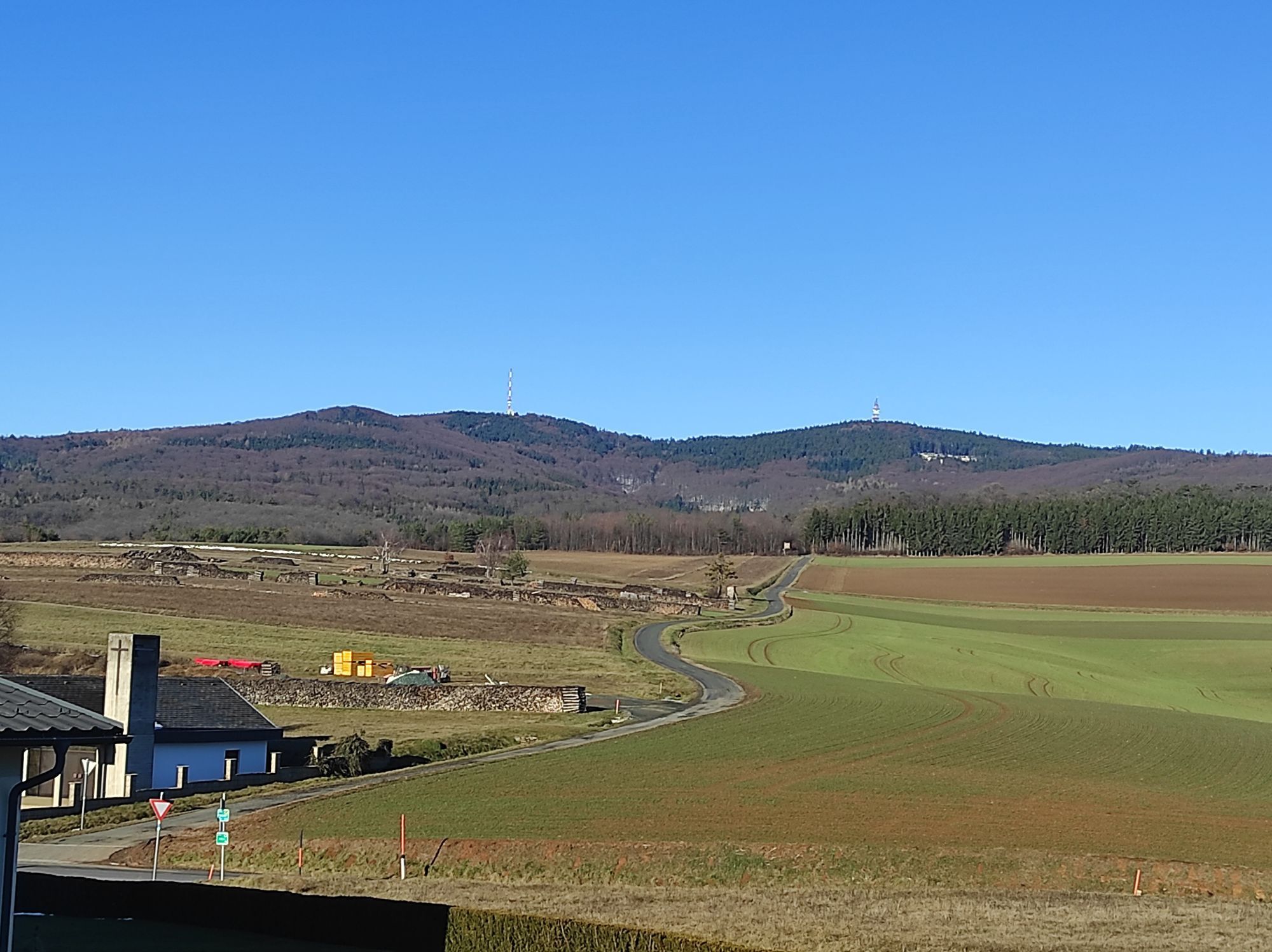
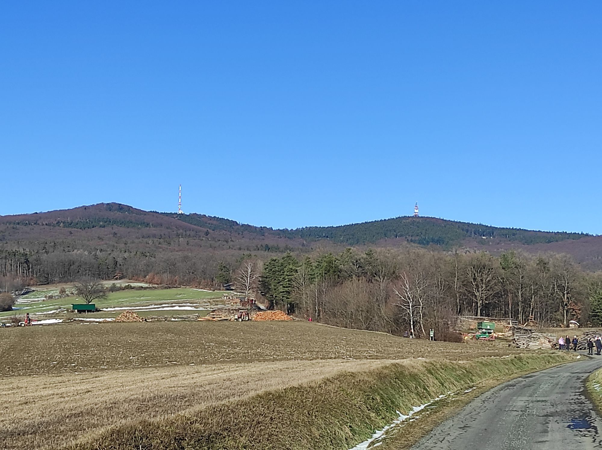
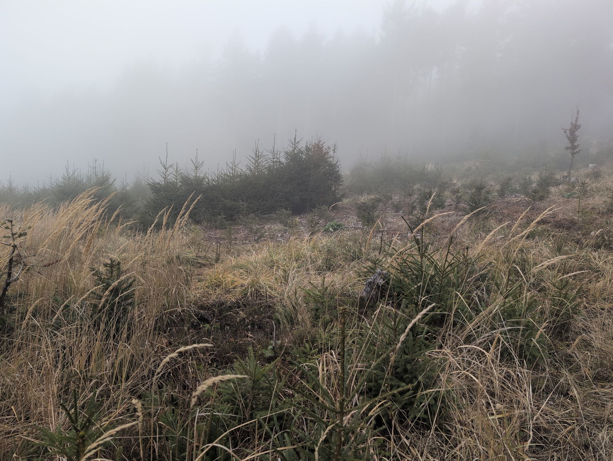
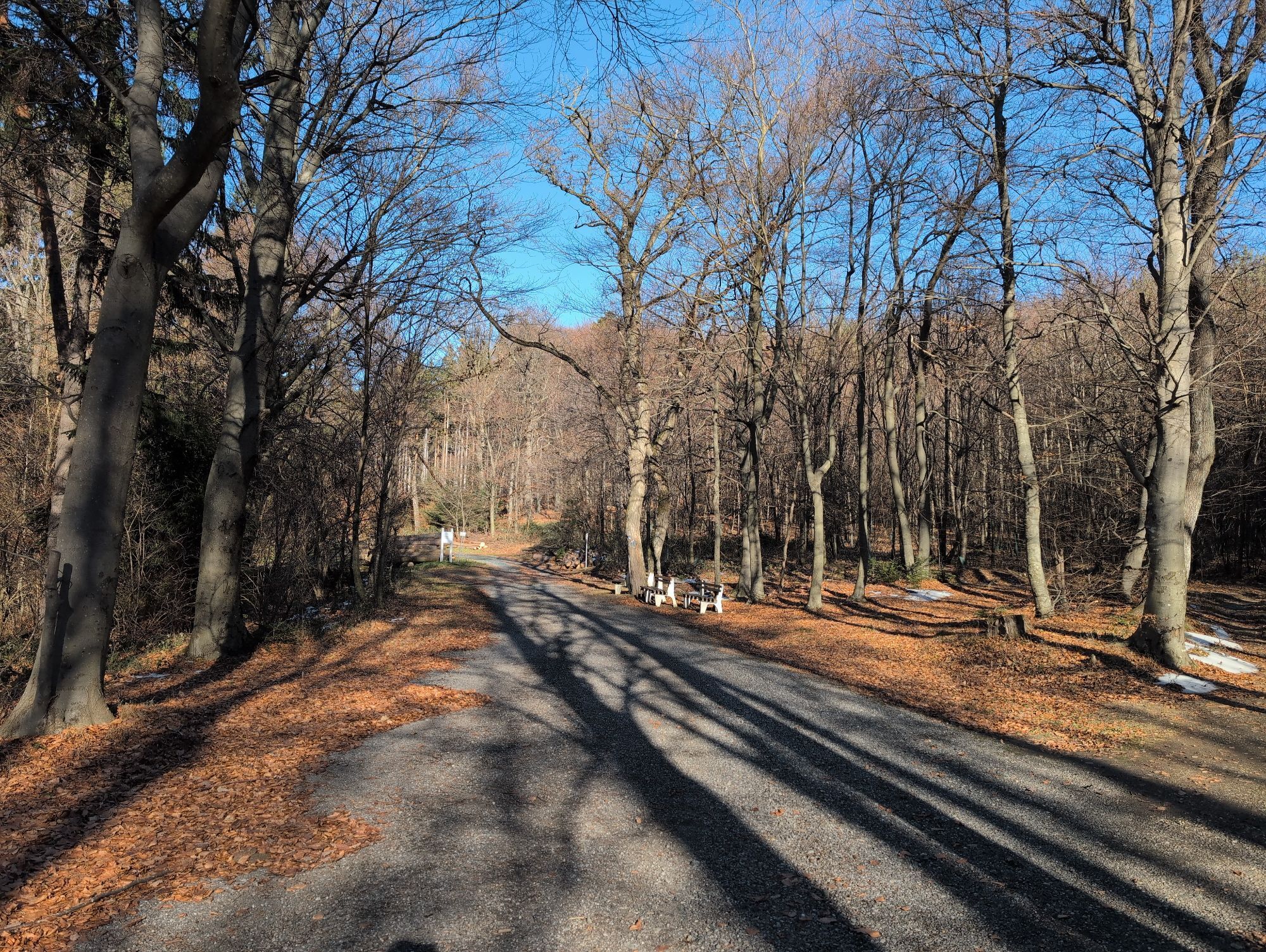
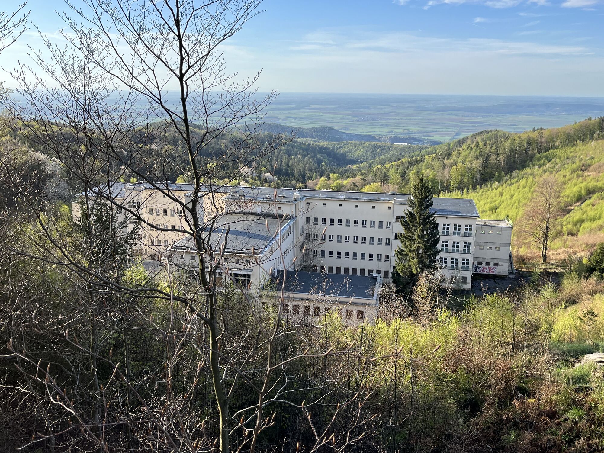
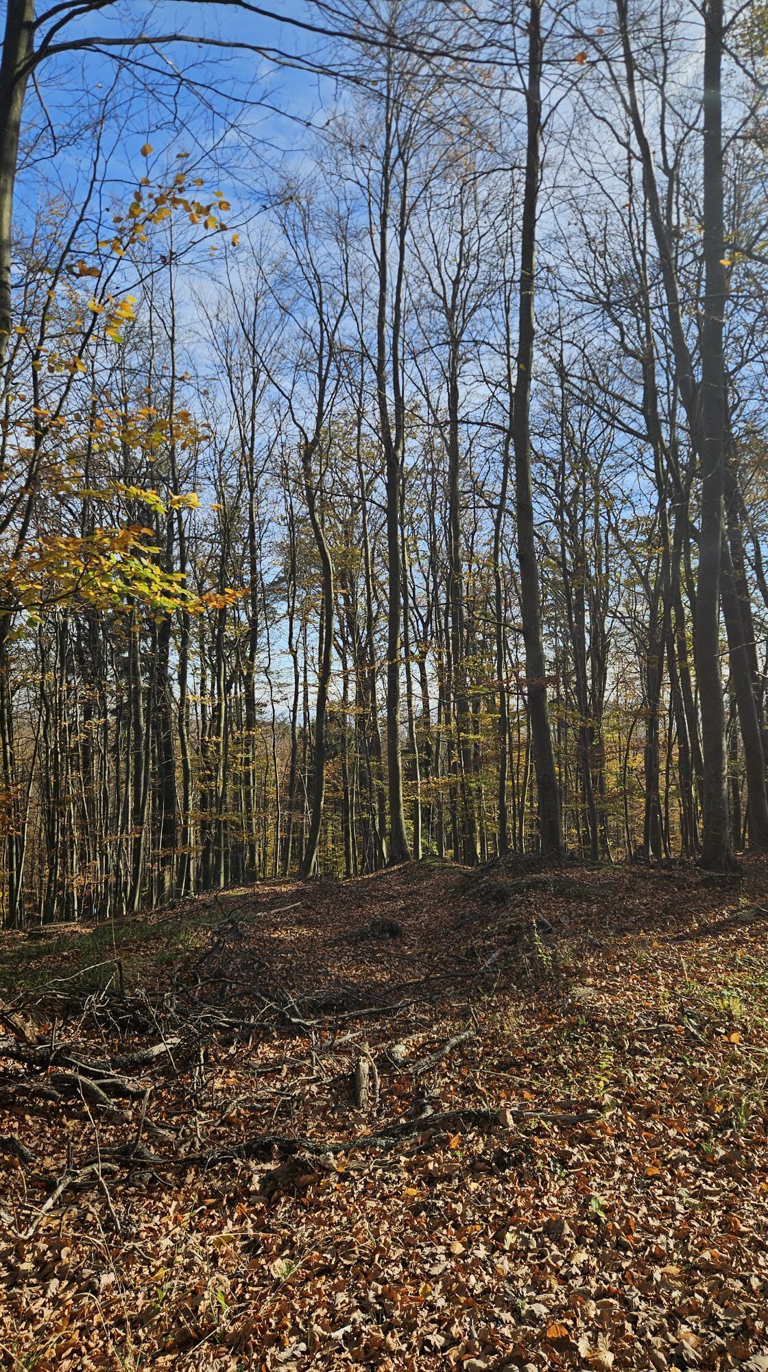
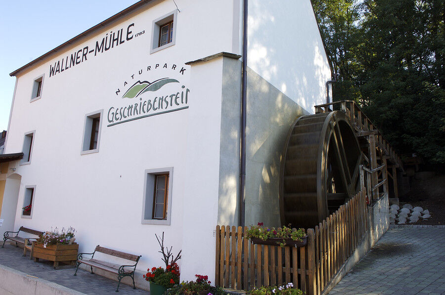
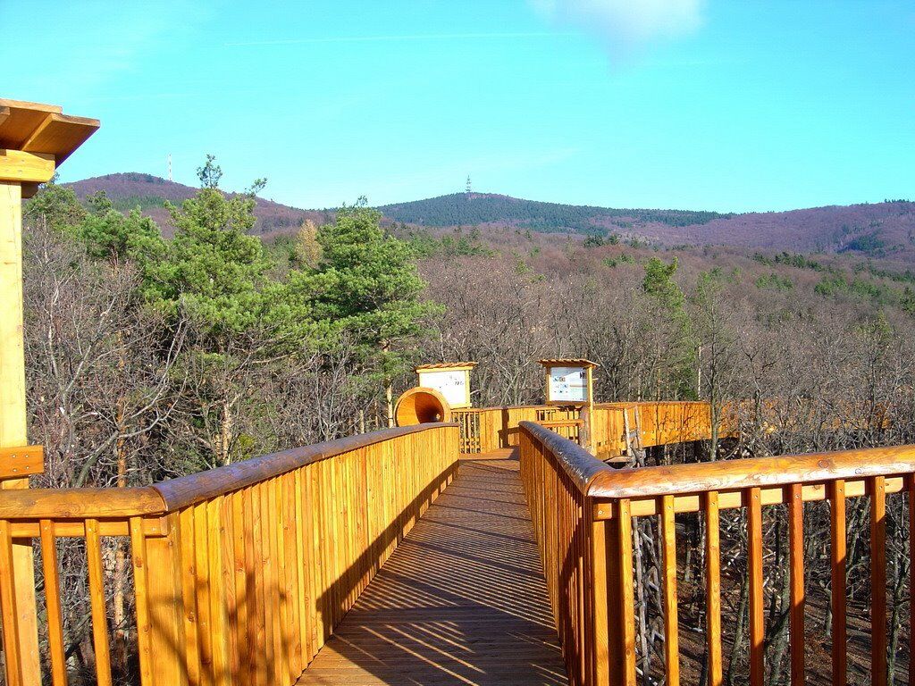
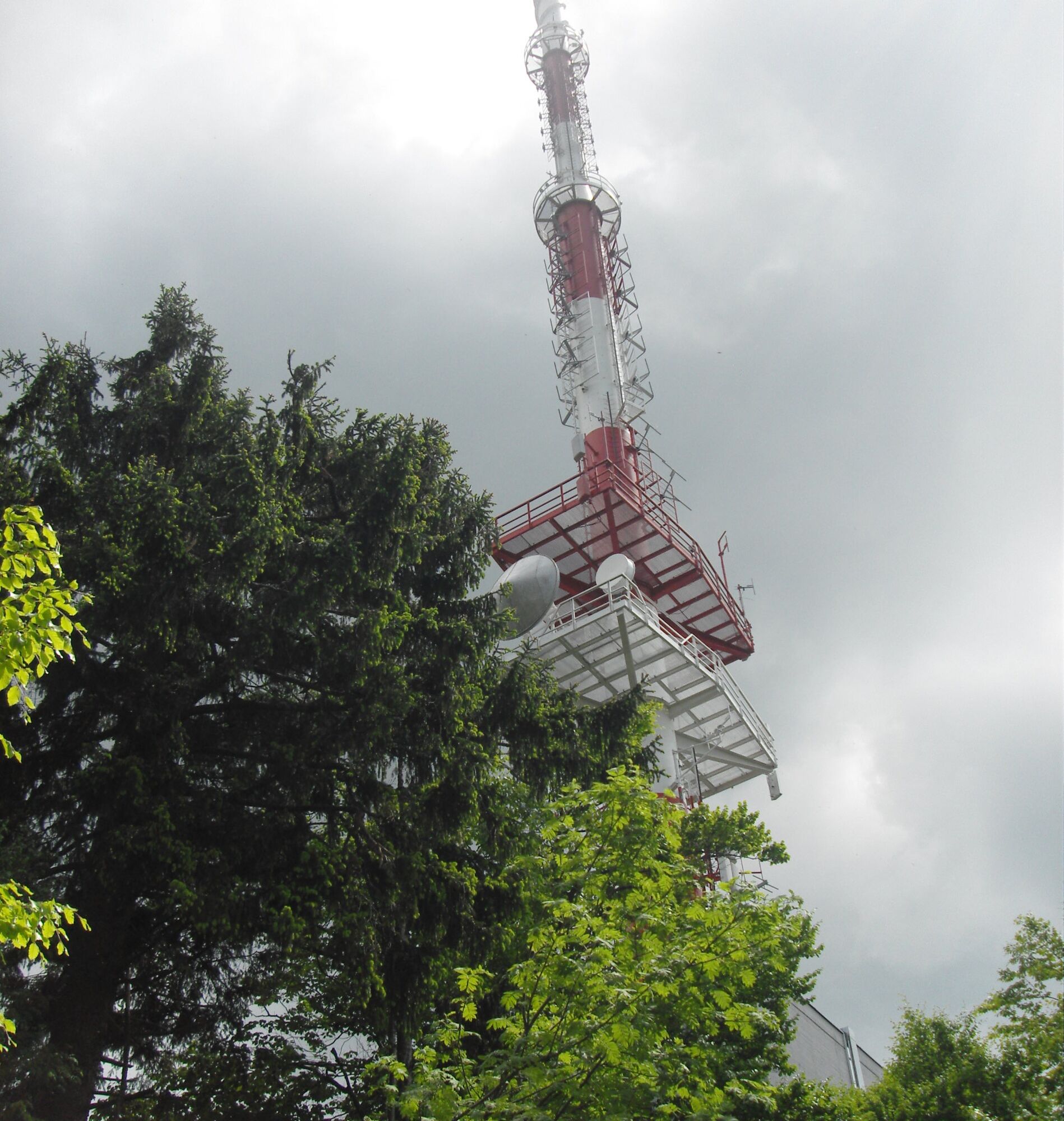
The starting point of this hike is the water mill in Markt Neuhodis. Heading north along the Hodisbach, passing the 1st Burgenland climbing garden, you walk through the forest towards the ORF transmitter station Hirschenstein. At the Hotter border between Markt Neuhodis and Althodis, turn left towards Althodis. Passing the "old hunter's house," we return to the starting point via Althodis and the "old road," or via the Weinberg.
Prohlídka vrcholu
Ano
Vybavení
Hiking boots, comfortable hiking clothes
Informace o příjezdu
Parkování
There are sufficient parking spaces available in Markt Neuhodis
Další informace a tipy
Tipy
Tree-top path
Oceňování
1 Komentář:

Erich Schöll

30. Aug. 2026
Sehr interessant und leicht anstrengend.

Všechny webové kamery na mapě
Nainstaluj si aplikaci zdarma a porovnej si živé záběry z několika míst, než vyrazíš.
Využijte nyní službu „ bergfex “ v aplikaci
Naskenuj QR kód pomocí fotoaparátu
Jakmile je aplikace nainstalována, obsah se otevře přímo. Pokud aplikaci ještě nemáš, budeš přesměrován na stránku, kde si ji můžeš zdarma stáhnout.


Oblíbené prohlídky v okolí
-
4.6
S21 Peace Circular Route
světloTuristika 11.4 km -
4.3
Railway track bike path
středníJízda na kole 41.6 km -
4.4
B53 Edelserpentin
středníJízda na kole 23.5 km -
4.3
Summit hiking route
heavyTuristika 20.6 km -
5.0
Südburgenländischer Bahntrassen-Radweg
světloJízda na kole 67 km -
4.8
S24 Neustiftrunde
Turistika 9.22 km -
4.1
Geschriebenstein
světloTuristika 3.90 km -
3.0
Günser Gebirge: Geschriebenstein
světloTuristika 7.61 km -
5.0
Geschriebenstein Roas
heavyTuristika 55.3 km -
4.0
Bad Tatzmannsdorf - Sulzriegel - Jormannsdorf - Oberschützen - Bad Tatzmannsdorf
světloTuristika 9.20 km
Pěší turistika a stopování

Více než 550.000 návrhů výletů, podrobné mapy a intuitivní plánovač tras dělají z aplikace nezbytnou výbavu pro všechny milovníky přírody.

Nenechte si ujít nabídky a inspiraci pro vaši příští dovolenou
Přihlaste se k odběru newsletteru
Chyba
Došlo k chybě. Zkuste to prosím znovu.
Děkujeme za vaši registraci
Vaše e-mailová adresa byl přidán do poštovního seznamu.
Zájezdy po celé Evropě
Rakousko
Švýcarsko
Německo
Itálie
Slovenia
Francie
Nizozemsko
Belgie
Polsko
Lichtenštejnsko
Česko
Slovensko
Španělsko
Chorvatsko
Bosna a Hercegovina
Lucembursko
Andorra
Portugal
Iceland
United Kingdom
Ireland
Greece
Albania
North Macedonia
Malta
Norway
Montenegro
Moldova
Kosovo
Hungary
San Marino
Romania
Estonia
Latvia
Belarus
Cyprus
Lithuania
Serbia
Bulgaria
Monaco
Denmark
Sweden
Finland





