







B47 Roman Amber Road cycling trail

Úroveň obtížnosti: 2
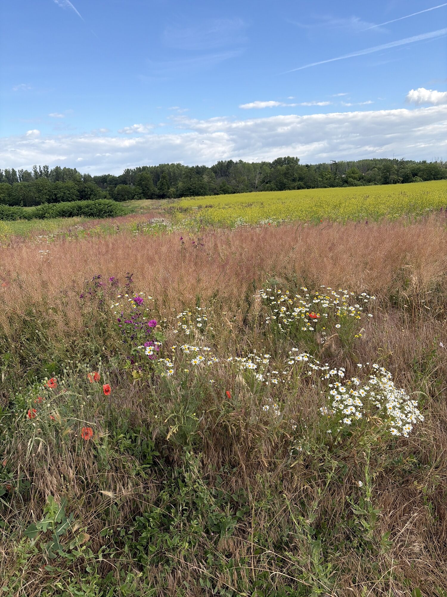
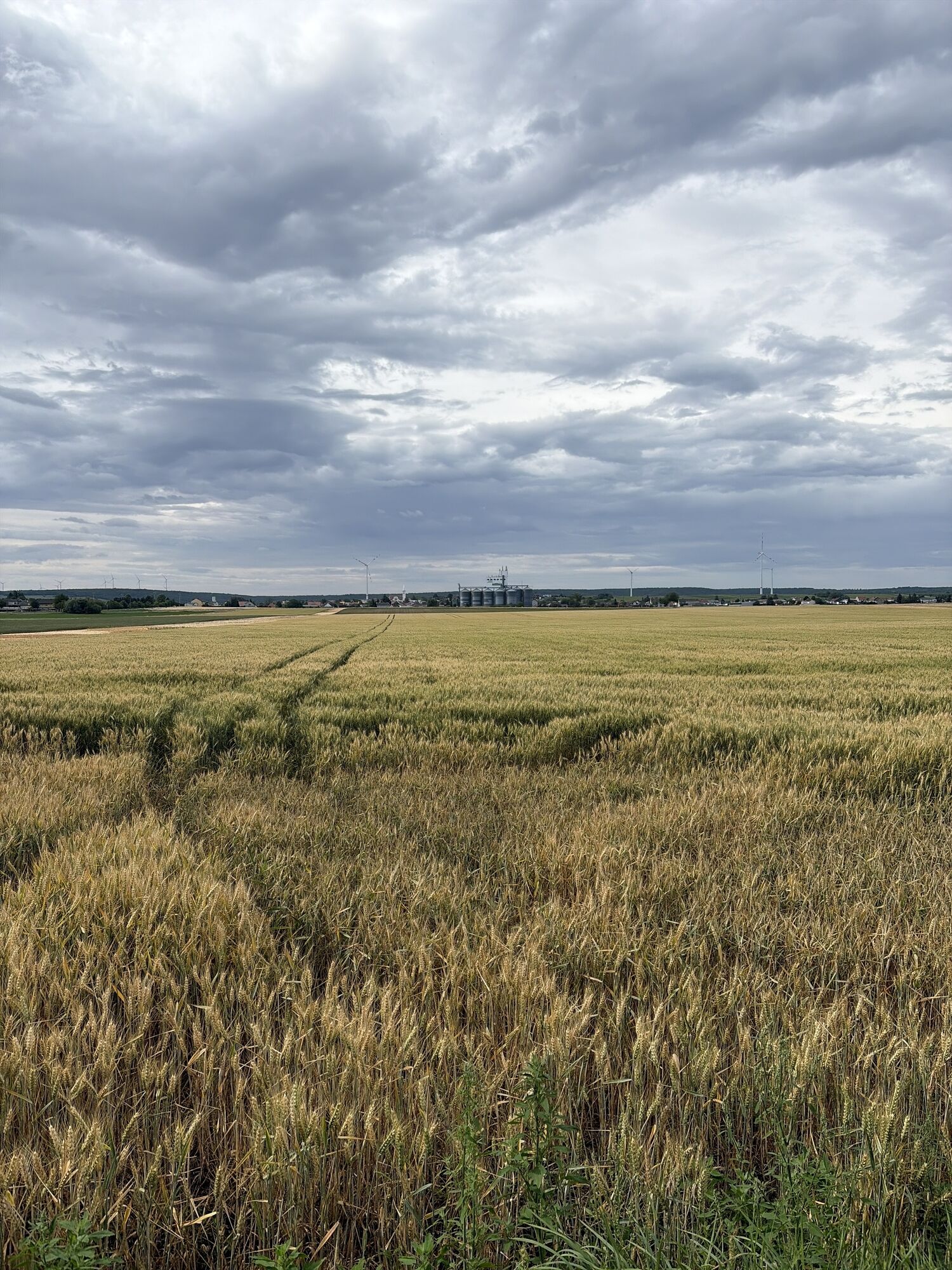
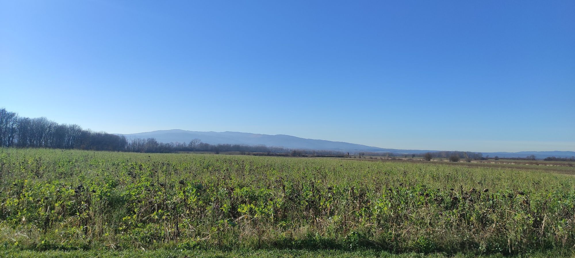
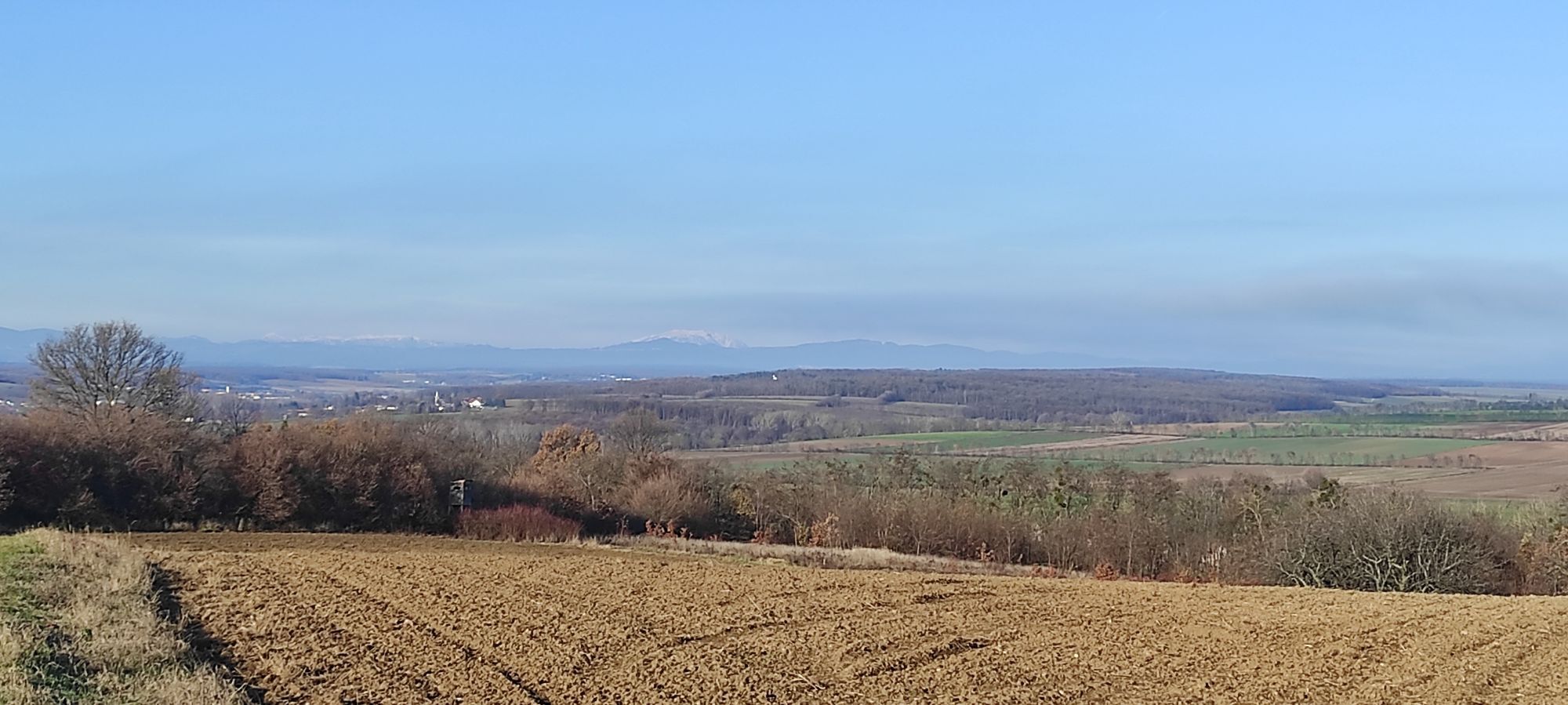
The "Amber Road" of the Romans once ran through the Sonnenland. Its former route in Sonnenland Mittelburgenland is lined with numerous display panels and information boards that provide a good insight...
The "Amber Road" of the Romans once ran through the Sonnenland. Its former route in Sonnenland Mittelburgenland is lined with numerous display panels and information boards that provide a good insight into the activities of the Romans in this region.

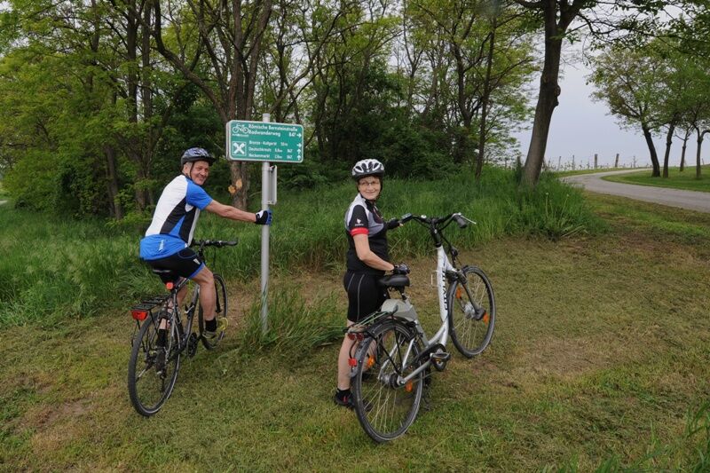
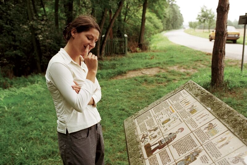
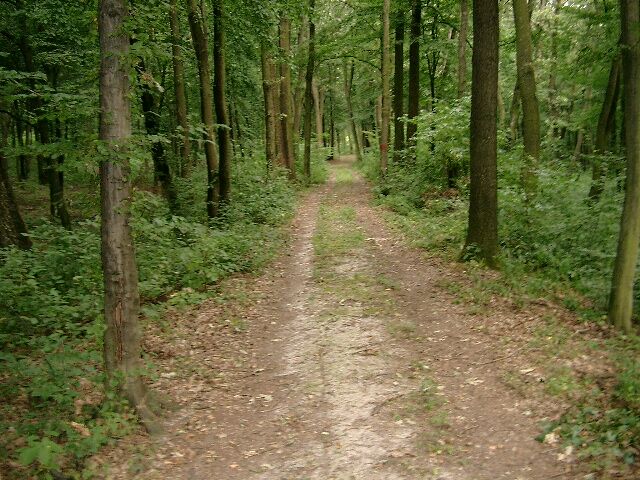
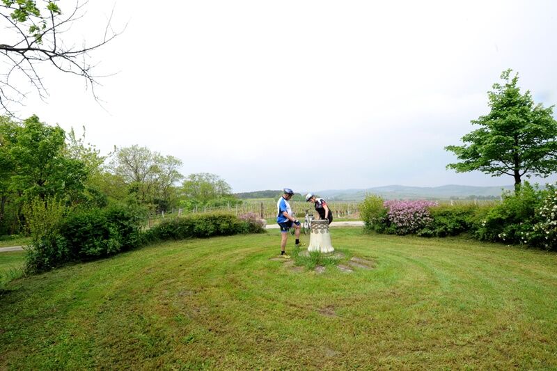

Strebersdorf - Großmutschen - Nebersdorf - Großwarasdorf - Raiding - Horitschon - Neckenmarkt - Haschendorf - Deutschkreutz RUDOLFSQUELLE
Ano
Sunglasses!
Since many cycle paths are agricultural goods routes, agricultural traffic must be expected there. Mutual consideration ensures that these paths remain pleasant and usable for everyone.
In Austria, wearing a bicycle helmet is mandatory for children up to 12 years old. Safety vests are not mandatory at dusk, in darkness or in poor visibility, but are certainly advantageous. Here is the link to the Austrian bicycle regulations.
2
Webové kamery z prohlídky

Oblíbené prohlídky v okolí
-
4.0
B40 Red Wine Cycle Route
středníJízda na kole 38.7 km -
2.9
Sonnenland Draisinentour
světloJízda na kole 23.0 km -
3.0
R1 anniversary cycle path
heavyCyklistika na velkou vzdálenost 272.3 km -
5.0
AMBER TRAIL East route | enjoyable hiking between the Alps and Puszta
střednídálková pěší trasa 314.8 km -
4.0
IRON CURTAIN TRAIL EV 13 - Burgenland Package
Cyklistika na velkou vzdálenost 283.9 km -
5.0
M61 WeinSteinWeg
heavyTematická stezka 10.4 km -
4.0
Blaufränkischweg Horitschon
světloTematická stezka 3.53 km -
4.5
Neudorf - Ruine Landsee - Neudorf
světloTuristika 9.83 km -
3.7
M65 Kobersdorf Loop Hike
světloTuristika 6.71 km -
5.0
Unendlichweg Frankenau-Unterpullendorf
světloTuristika 19.2 km
Pěší turistika a stopování


Nenechte si ujít nabídky a inspiraci pro vaši příští dovolenou
Vaše e-mailová adresa byl přidán do poštovního seznamu.





