


Feeder Jakob's Way from Deutschkreuz to Pamhagen
Fotografie našich uživatelů
 © MimiVytvořeno dne 09.04.2026
 © MimiVytvořeno dne 09.04.2026
 © erwinsoVytvořeno dne 16.08.2025
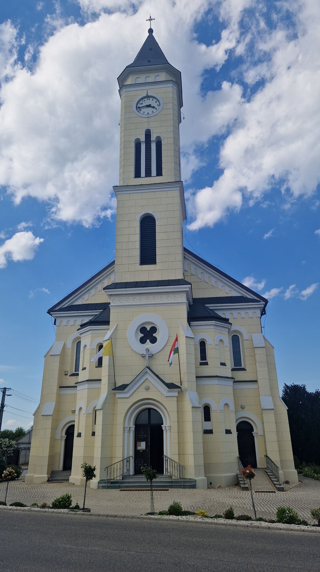
 © Ingeborg64Vytvořeno dne 19.06.2025
 © Ingeborg64Vytvořeno dne 19.06.2025
 © Ingeborg64Vytvořeno dne 19.06.2025
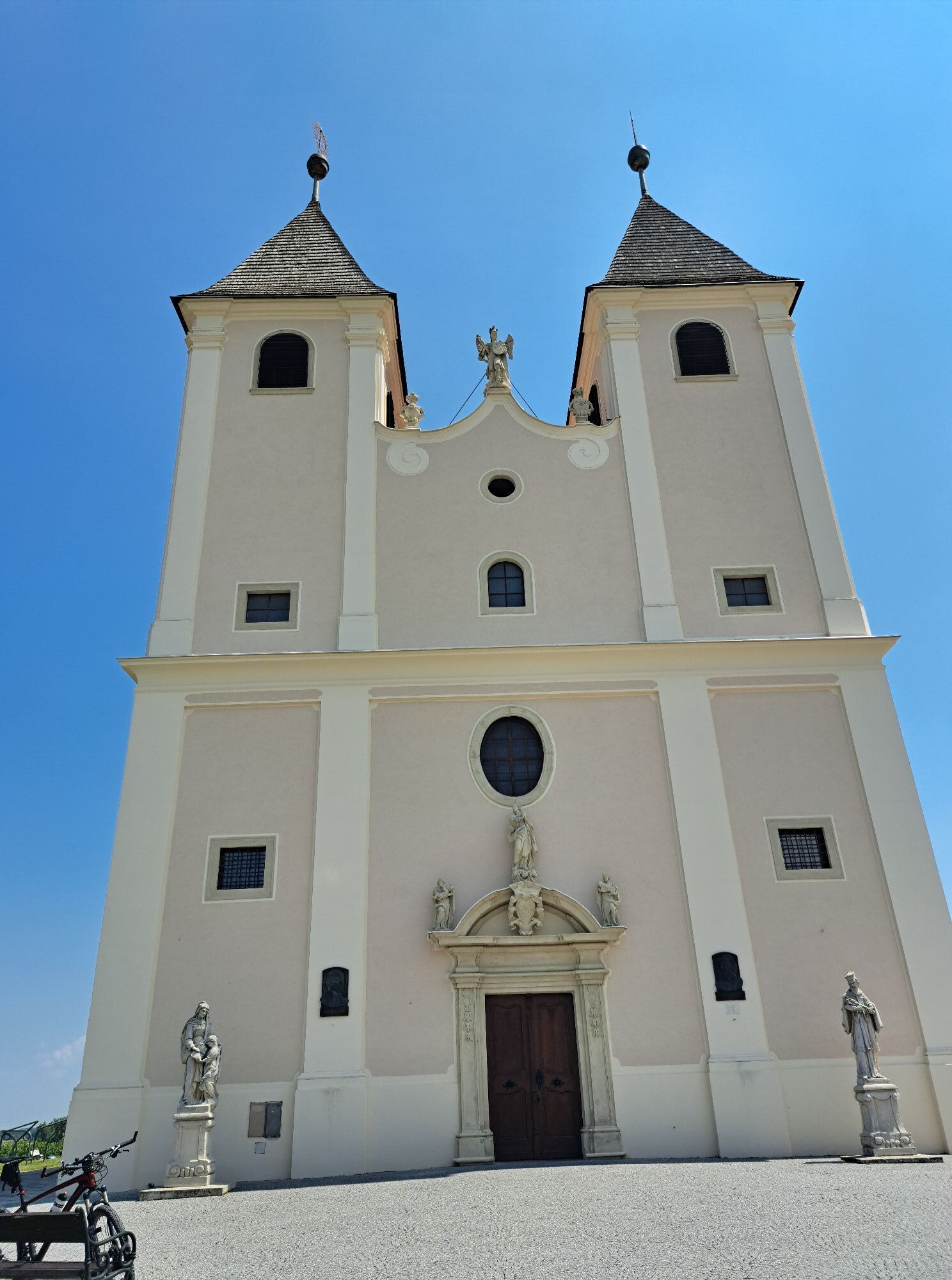
 © Robert.UnterlercherVytvořeno dne 14.06.2025
 © MauiGraVytvořeno dne 02.05.2025
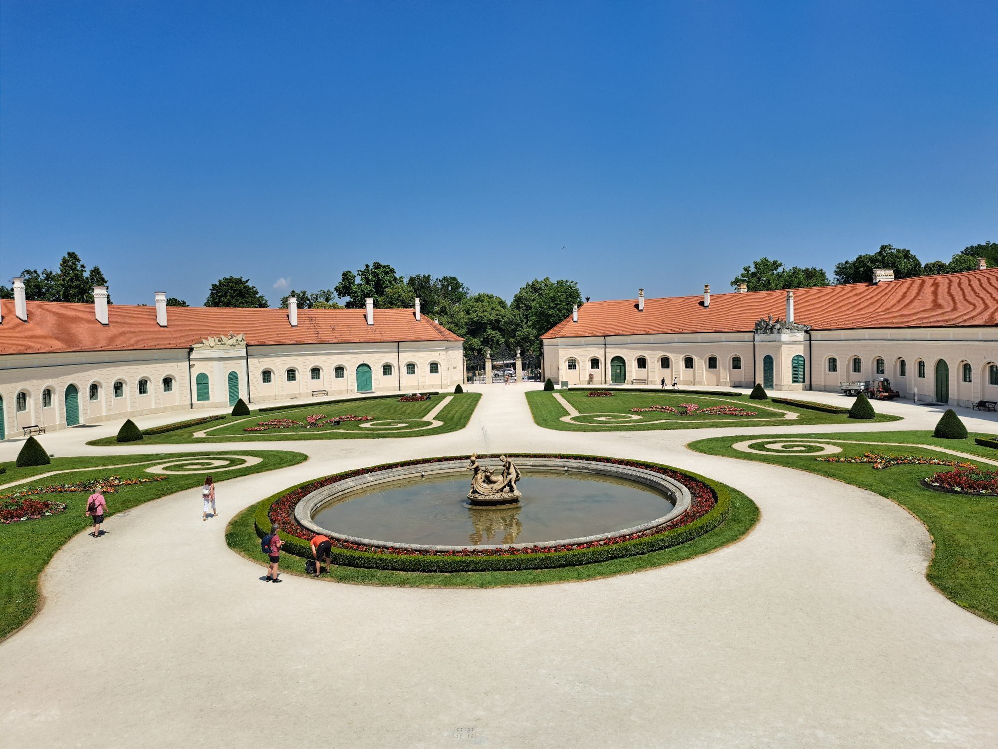
 © MauiGraVytvořeno dne 02.05.2025
 © MauiGraVytvořeno dne 02.05.2025
 © MauiGraVytvořeno dne 02.05.2025
 © MauiGraVytvořeno dne 02.05.2025
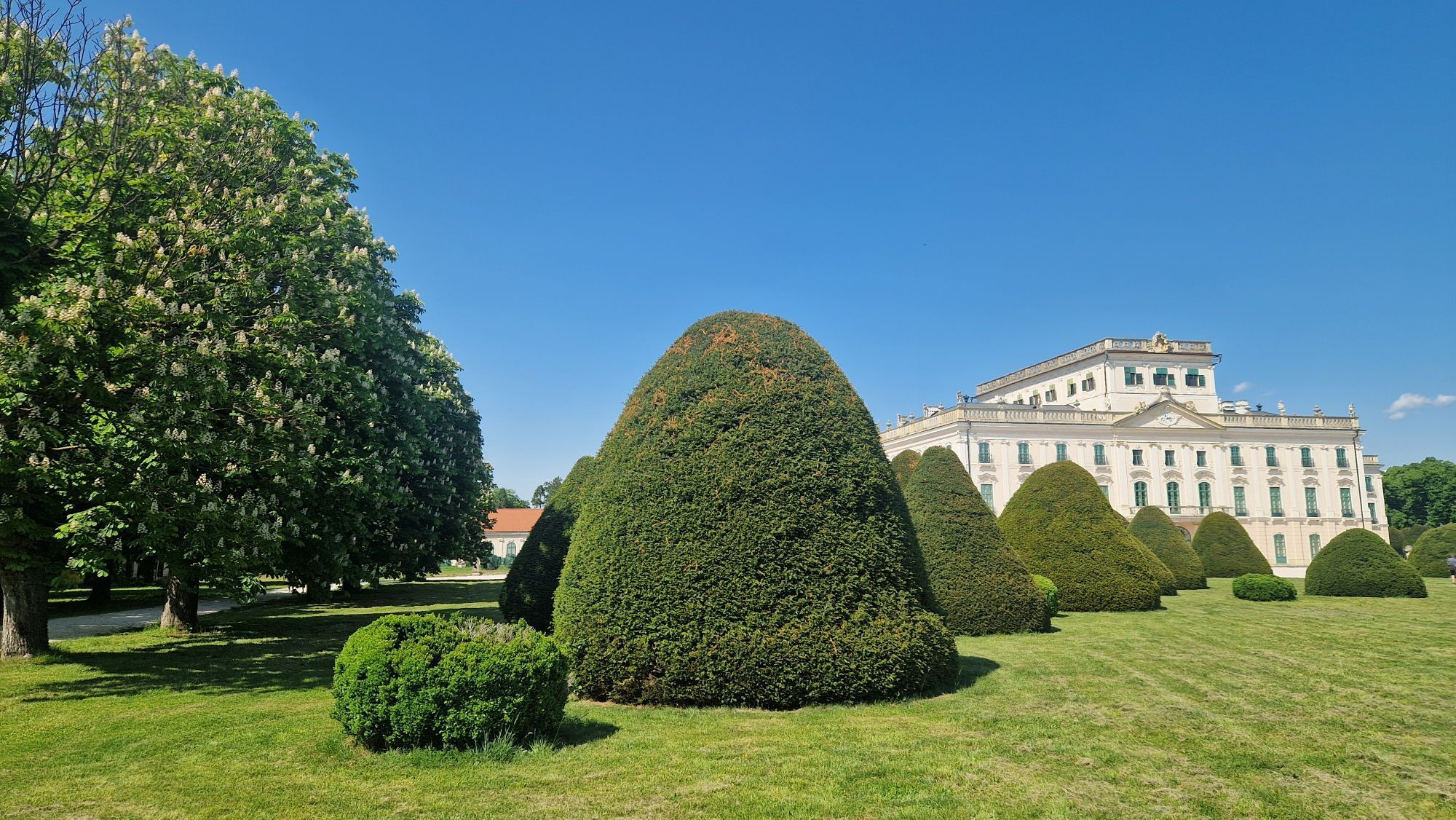
 © MauiGraVytvořeno dne 02.05.2025


All information about the path itself can be found here:
https://www.jakobsweg-burgenland.at/

Details about arrival can be found here: Calculate route
Arrival by train:
The Neusiedler See is easily & comfortably accessible by train. Whether you come from Switzerland, Germany, western or southern Austria: you can relax and change trains at Vienna Main Station. The ÖBB regional trains bring you to Neusiedl am See station in just under 40 minutes, where coordinated bus and train connections towards Pamhagen / FertÅszentmiklós or Eisenstadt and Sopron are offered. Most trains allow bicycle transport: on Railjet and EC/IC as well as Nightjet trains, a reservation for your bicycle is mandatory. Regional trains will take your bicycle without reservation subject to availability of bike spaces.
Timetable information: ÖBB
The Burgenland App also informs you on the go about routes, path course, and altitude meters.
With the Burgenland Card: limitless holiday enjoyment & offers as far as the eye can see!! All info here: Burgenland Card
Oblíbené prohlídky v okolí
- 4.5
Südrunde Neusiedlersee - Illmitz, Burgenland/Österreich
světloJízda na kole 65.9 km - 5.0
Weiße Esel Runde
světloTuristika 8.51 km Hölle - Steppentierpark - Weiße Esel
středníElektrokola 56.1 kmLange Lacke cycle path
světloJízda na kole 12.0 km- 4.0
28 Sandeck round (running park Lake Neusiedl - Seewinkel)
středníBěh 10.3 km - 3.0
Explorer route - The backyard of Illmitz
světloTuristika 3.41 km Pamhagen NatureEnjoymentExperiencePath
světloTematická stezka 15.6 km- 5.0
Fertörakos
světloTuristika 10.4 km Little Explorers Route 1 - Mörbisch - (ferry) - Illmitz - (ferry) - Mörbisch
světloJízda na kole 22.4 km- 5.0
27 Illmitz-Apetlon route (Running park Neusiedler See - Seewinkel)
světloBěh 7.59 km

Pěší turistika a stopování


Nenechte si ujít nabídky a inspiraci pro vaši příští dovolenou
Vaše e-mailová adresa byl přidán do poštovního seznamu.