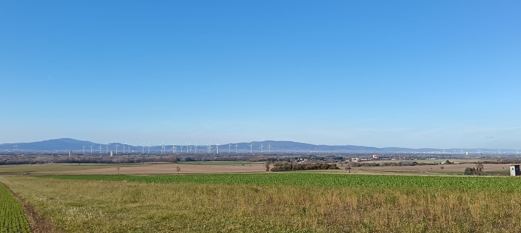
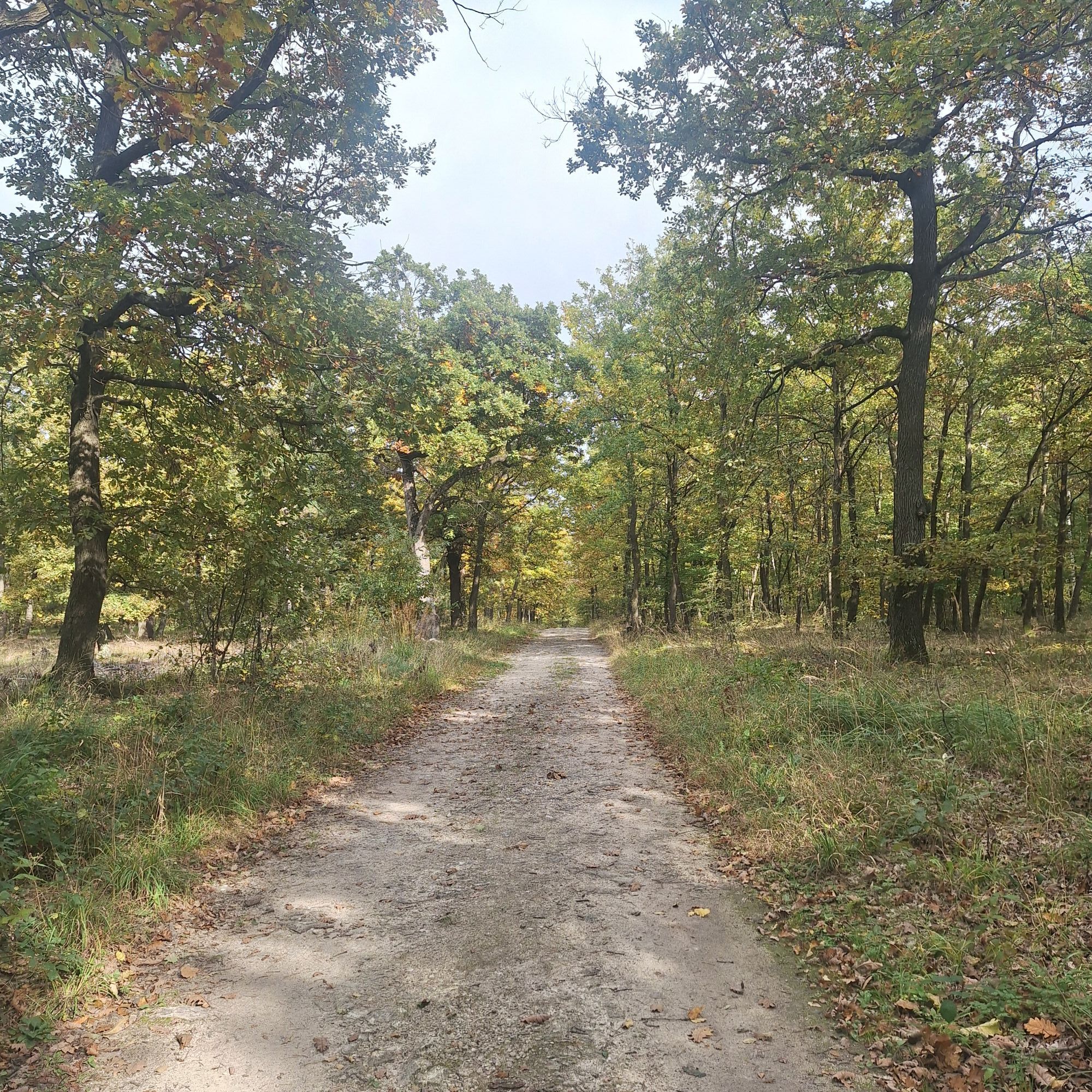
MTB Geißbühel route
Mountainbike
3.5
Navigace na stránkách
Navigace na stránkách
Pořiďte si tuto prohlídku do mobilního telefonu
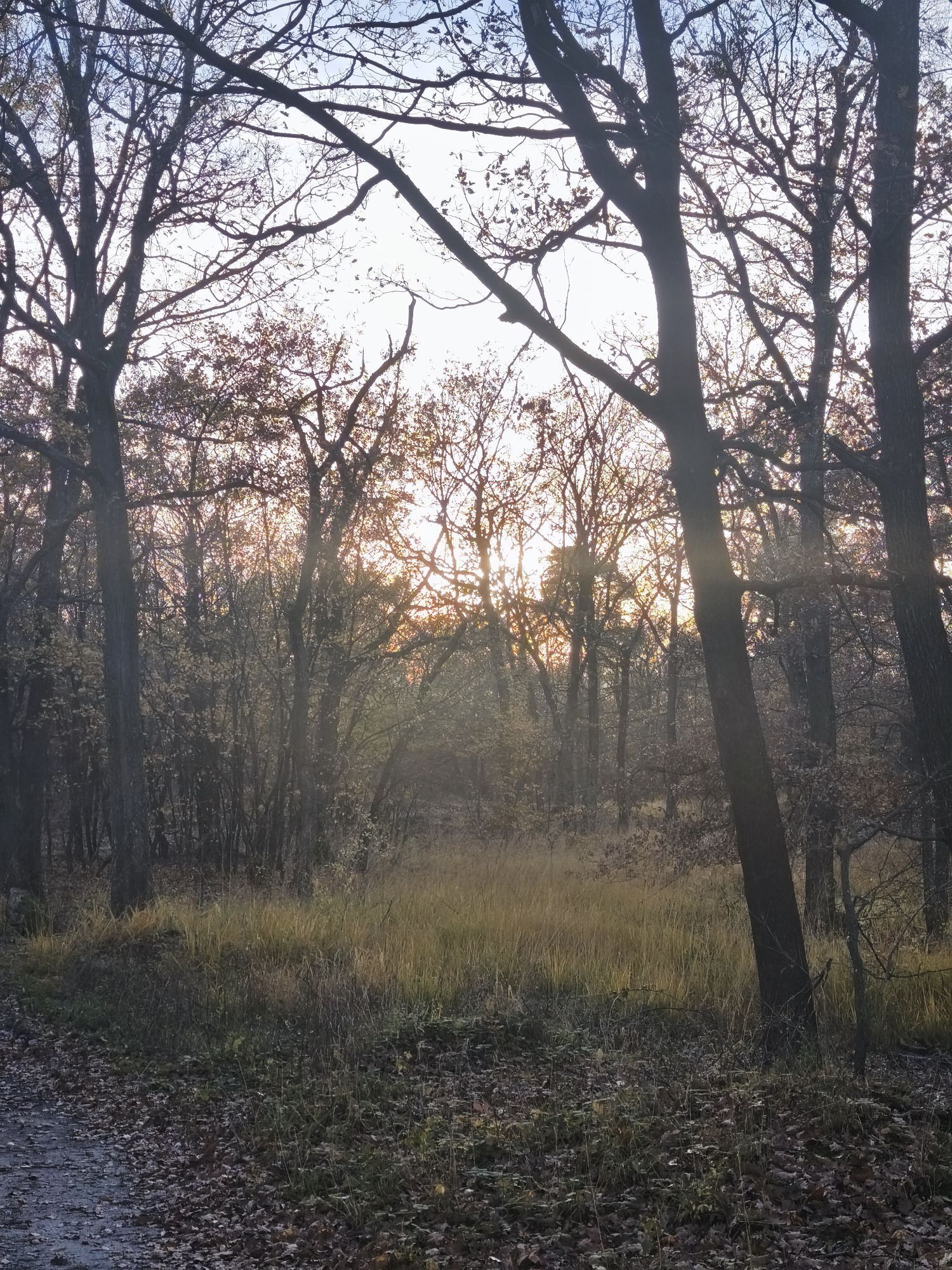
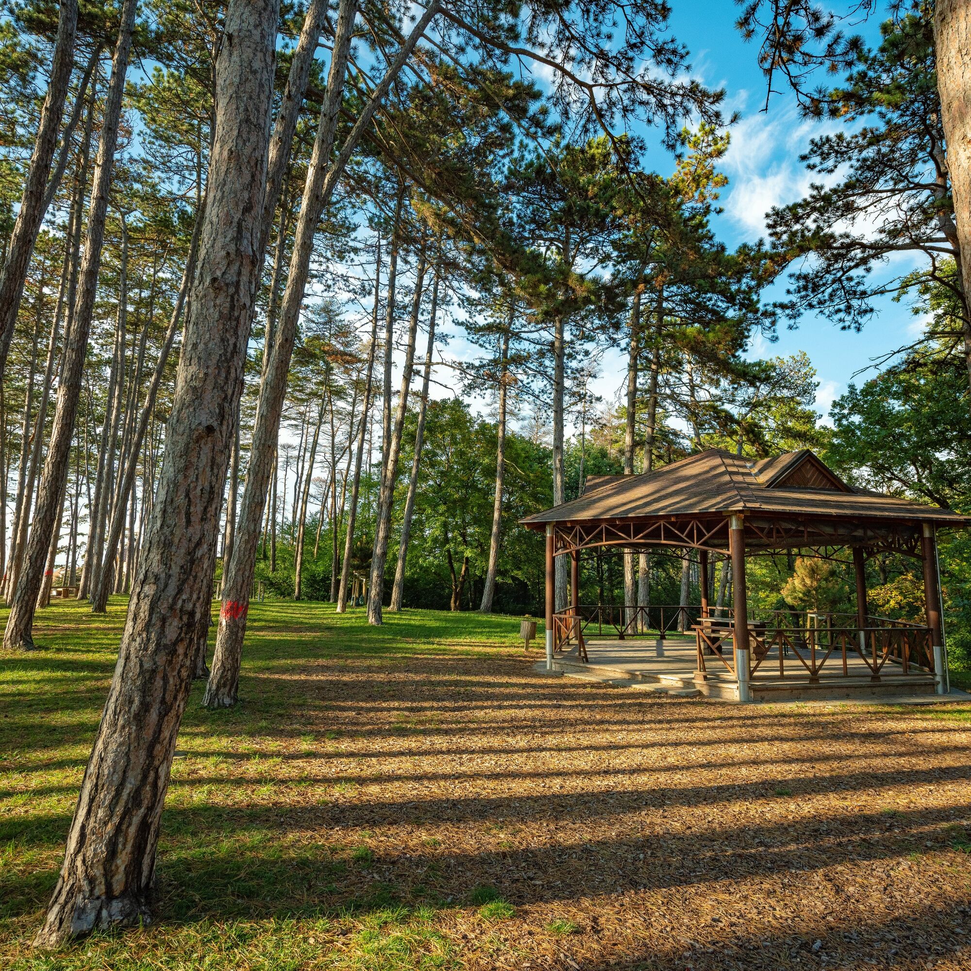
MTB Geißbühel route
Mountainbike
21.36
km
Naskenujte QR kód a spusťte navigaci v aplikaci bergfex.

Pěší turistika a stopování


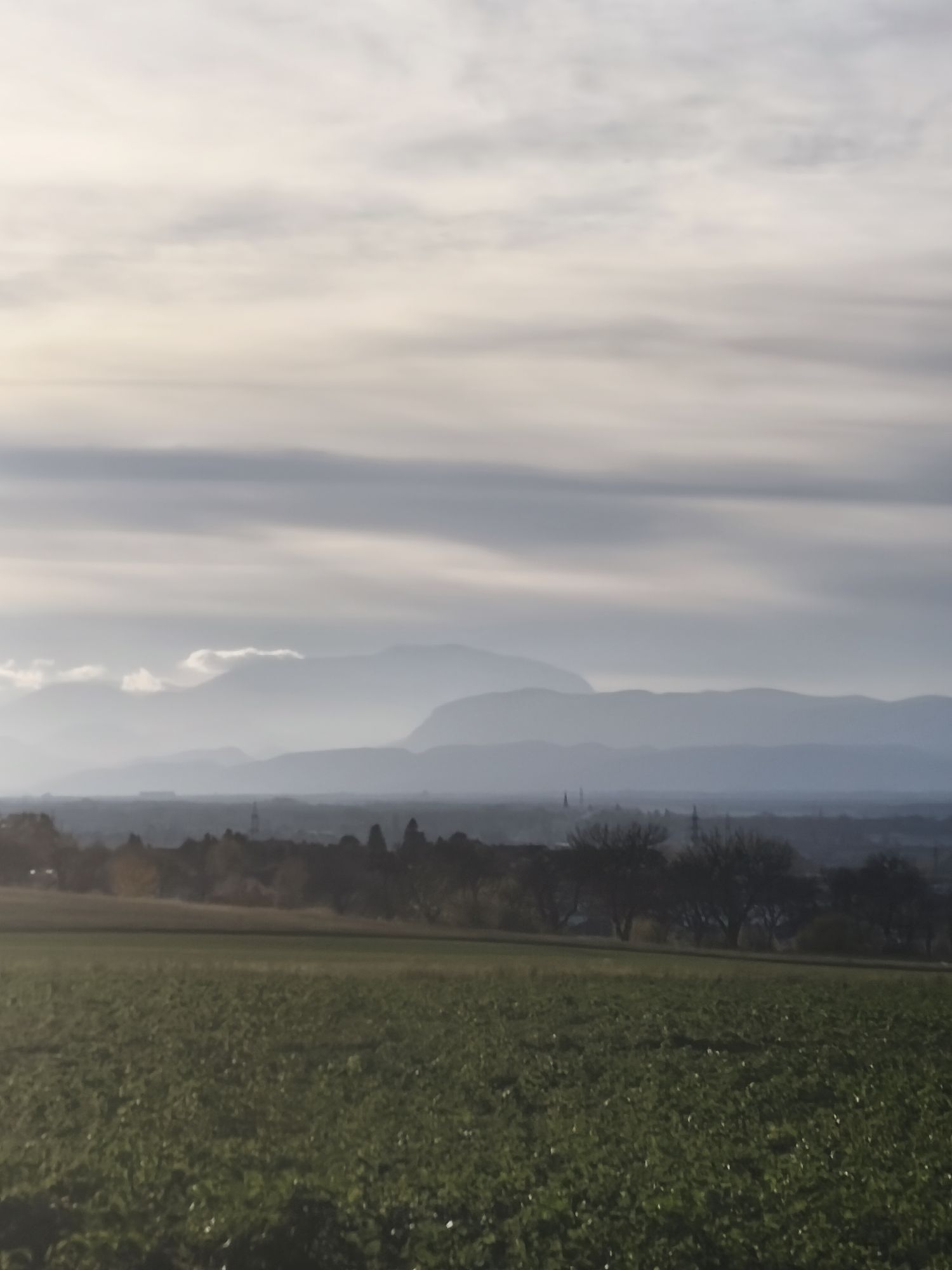
MTB Geißbühel route
Mountainbike
3,5
Vzdálenost
21.36
km
Doba trvání
02:02
h
Ascent
207
hm
Hladina moře
192 -
346
m
Stažení skladby
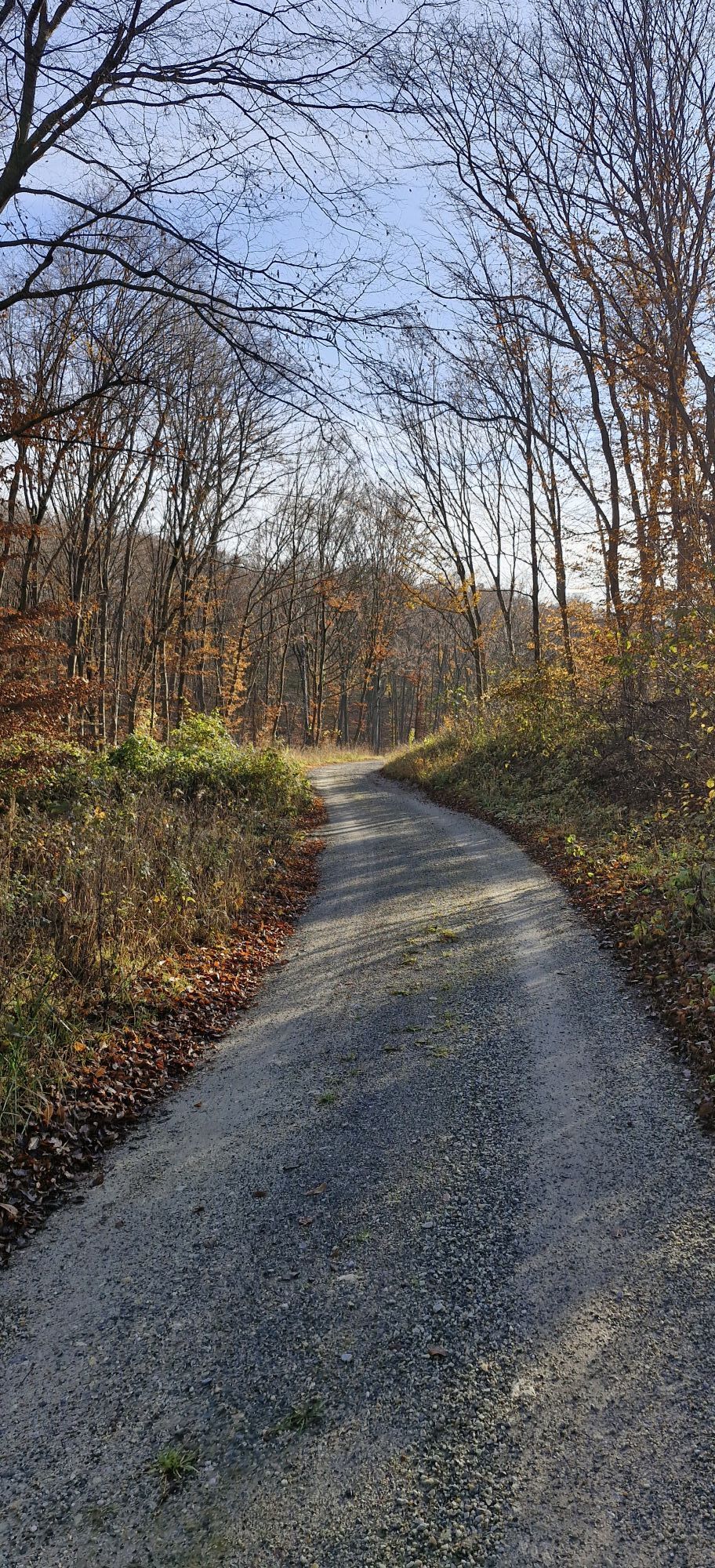
MTB Geißbühel route
Mountainbike
21.36
km
Trasa
Wimpassing an der Leitha
(217 m)
Vesnice
0.0 km
Gaisbühel
(253 m)
Summit
2.6 km
Fuchsbühel
(249 m)
Summit
2.6 km
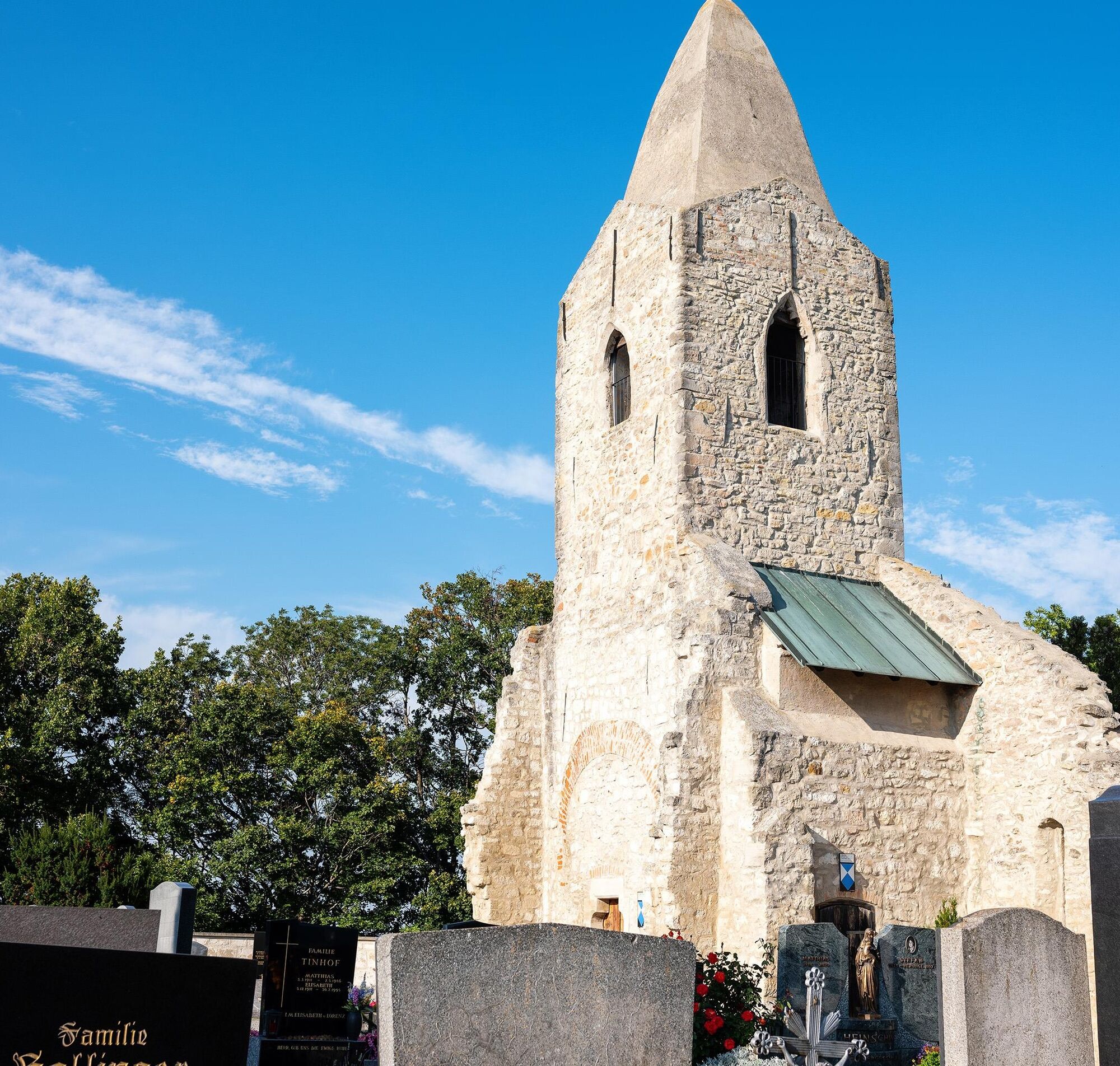
Jagenbrein-Kapelle
(196 m)
Místo konání bohoslužeb
6.0 km
Hornstein/Vorištan
(262 m)
Vesnice
16.6 km
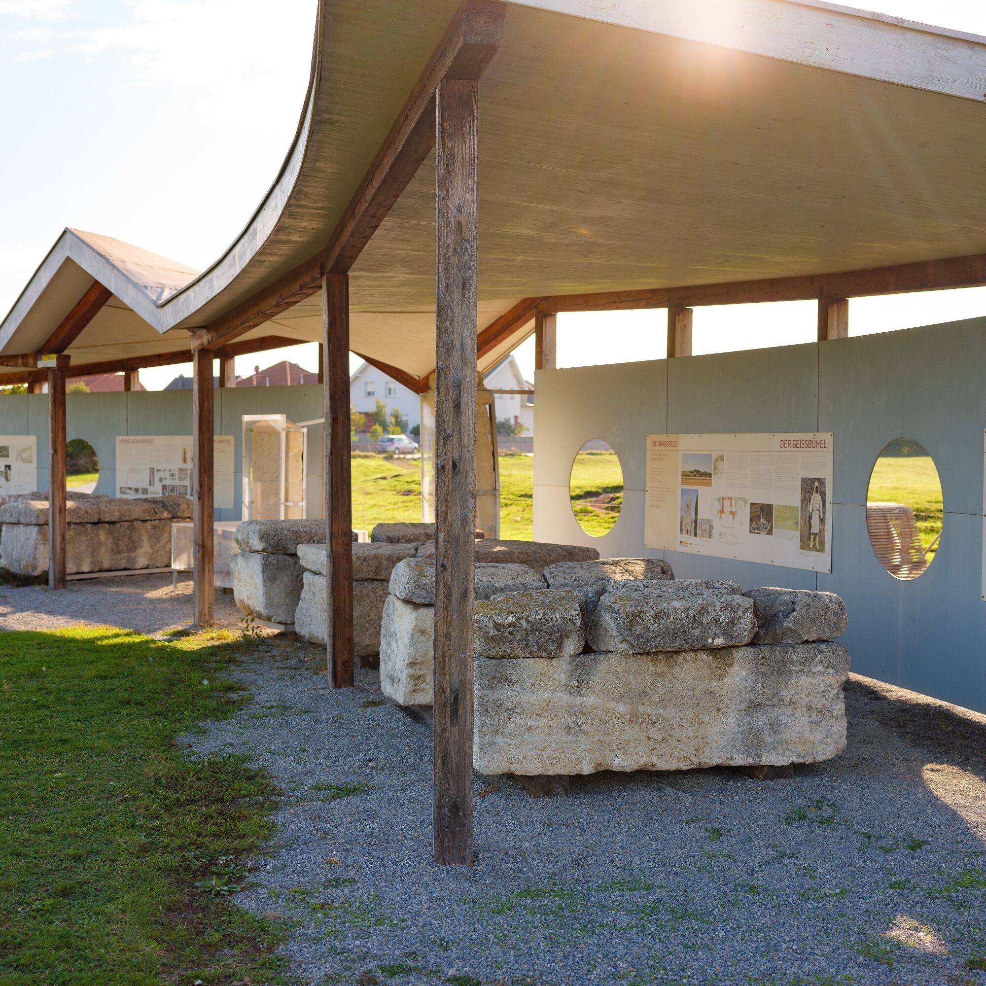
Schneckenhöhle
(222 m)
Vchod do jeskyně
20.9 km
Ziegelwerk
(219 m)
Restaurace
21.2 km
Trasa
MTB Geißbühel route
Mountainbike
21.36
km
Wimpassing an der Leitha
(217 m)
Vesnice
0.0 km
Gaisbühel
(253 m)
Summit
2.6 km
Fuchsbühel
(249 m)
Summit
2.6 km
St. Stephan Martyr
(242 m)
Místo konání bohoslužeb
3.6 km
Leithaprodersdorf
(196 m)
Vesnice
5.8 km
Jagenbrein-Kapelle
(196 m)
Místo konání bohoslužeb
6.0 km
Hornstein/Vorištan
(262 m)
Vesnice
16.6 km
Schneckenhöhle
(222 m)
Vchod do jeskyně
20.9 km
Ziegelwerk
(219 m)
Restaurace
21.2 km
Wimpassing an der Leitha
(217 m)
Vesnice
21.2 km


Bezpečnostní pokyny
Since many MTB routes run on or cross forestry or agricultural roads, forestry and agricultural traffic must be expected there. Mutual consideration ensures that these paths remain pleasant and usable for everyone.
Please adhere to the Fair Play rules for cycling in the forest!
Informace o příjezdu
Příjezd
Motorway A3 to Wimpassing an der Leitha
Parkování
Parking in Wimpassing an der Leitha
Další informace a tipy
Další informace
Municipality of Wimpassing an der Leitha
2485 Wimpassing an der Leitha, Kirchengasse 12
Tel. 02623/72570, Fax ext. 4
post@wimpassing-leitha.bgld.gv.at
www.tiscover.at/wimpassing
2485 Wimpassing an der Leitha, Kirchengasse 12
Tel. 02623/72570, Fax ext. 4
post@wimpassing-leitha.bgld.gv.at
www.tiscover.at/wimpassing
Vienna Alps in Lower Austria Tourism GmbH
A-2801 Katzelsdorf, Schlossstraße 1
Tel.: +43 (0)2622 78960
info@wieneralpen.at
www.wieneralpen.at
Oceňování
5
(1)
4
(0)
3
(0)
2
(1)
1
(0)
Oblíbené prohlídky v okolí
-
4.6
Kloster St. Anna & Ruine Scharfeneck zu Mannersdorf
světloTuristika 5.27 km -
4.2
MANNERSDORF, St.Anna, Aussichtspkt. Stb.1 Ruine Scharfeneck, F.J.Warte, Aussichtspkt. Stb.2 20230329
středníTuristika 16.5 km -
4.2
MTB Bäckersteig route
heavyMountainbike 25.5 km -
4.4
Smugglers' route "Donnerskirchen" to Mannersdorf
heavyTuristika 18.8 km -
4.8
From the Field of Honor to the Kingdom of Heaven
středníTuristika 6.98 km -
4.0
Mannersdorf Wüste - Gipfelkreuz - Ruine - Labyrinth
světloTuristika 9.32 km -
4.8
Jägerwiese über die drei Seen
středníTuristika 14.2 km -
4.0
Loretto - Buchkogel
světloTuristika 10.4 km -
4.3
Highlight Tour Leithagebirge
středníTuristika 24.7 km -
3.5
Wüste Mannersdorf - Angelos Touren
světloTuristika 8.24 km

Pěší turistika a stopování

Více než 550.000 návrhů výletů, podrobné mapy a intuitivní plánovač tras dělají z aplikace nezbytnou výbavu pro všechny milovníky přírody.

Nenechte si ujít nabídky a inspiraci pro vaši příští dovolenou
Přihlaste se k odběru newsletteru
Chyba
Došlo k chybě. Zkuste to prosím znovu.
Děkujeme za vaši registraci
Vaše e-mailová adresa byl přidán do poštovního seznamu.
Zájezdy po celé Evropě
Rakousko
Švýcarsko
Německo
Itálie
Slovenia
Francie
Nizozemsko
Belgie
Polsko
Lichtenštejnsko
Česko
Slovensko
Španělsko
Chorvatsko
Bosna a Hercegovina
Lucembursko
Andorra
Portugal
Iceland
United Kingdom
Ireland
Greece
Albania
North Macedonia
Malta
Norway
Montenegro
Moldova
Kosovo
Hungary
San Marino
Romania
Estonia
Latvia
Belarus
Cyprus
Lithuania
Serbia
Bulgaria
Monaco
Denmark
Sweden
Finland