


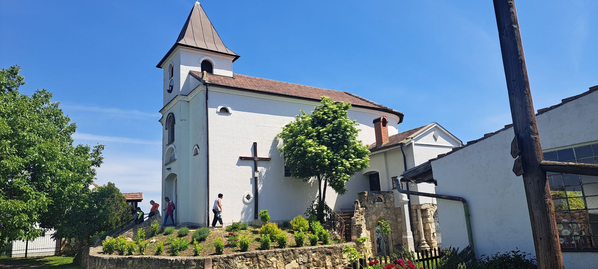
1 Panorama-Run (Running Park Lake Neusiedl - Seewinkel)
Úroveň obtížnosti: 1
Orientation tips
For all explorers and those who got lost, here are a few tips that should help in the terrain:
The sun rises in the east, at noon (CET 12:00) it is exactly in the south, and it sets in...
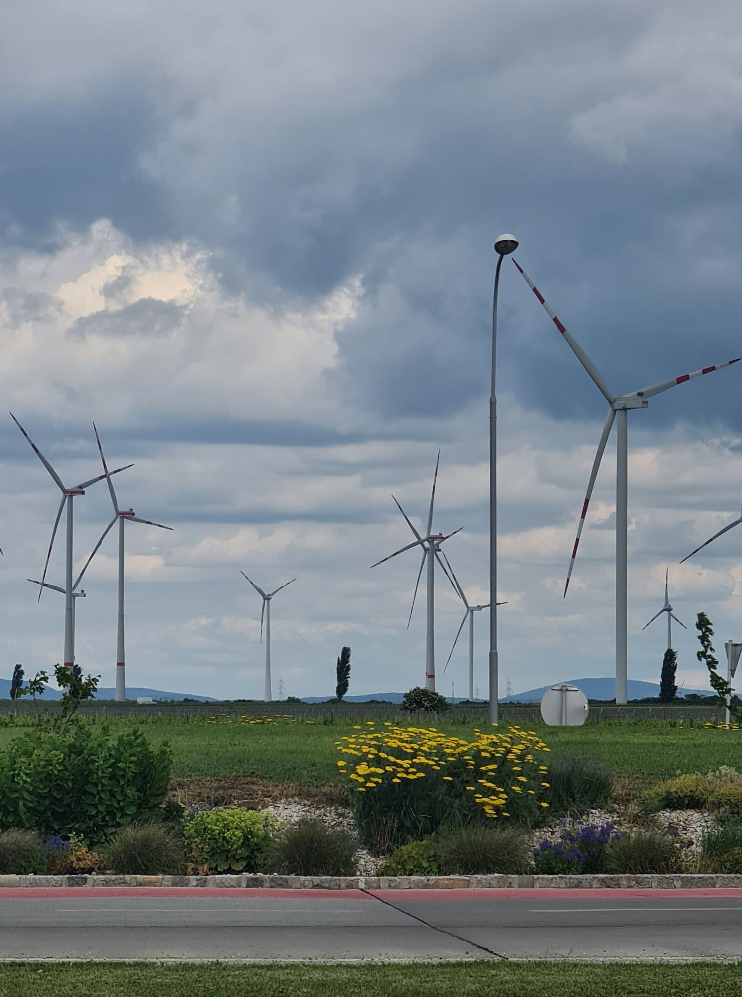
Orientation tips
For all explorers and those who got lost, here are a few tips that should help in the terrain:
The sun rises in the east, at noon (CET 12:00) it is exactly in the south, and it sets in the west.
The wind turbines are located north of the running park.
The railway runs approximately north-south.
The big silo stands in St. Andrä.
Lake Neusiedl lies west of the running park.
The Leitha Mountains behind it as well.
The main wind blows from the northwest.
Seldom, but also occurring, is the south wind.
The church with the twin towers is in Frauenkirchen.
And right is where your thumb is left.
The route guidance system
To ensure everyone can easily find and follow their route, we have specially developed a route guidance system,
which shows you at decision points the direction of your route and also at regular intervals the distance traveled. Each running and Nordic walking route is marked with its own color code, which is found in all information media.
So just follow your color and direction from the overview board at your starting point!

Surface: gravel, asphalt
Details about arrival can be found here: Calculate route
Arrival by train:
Lake Neusiedl is easily and comfortably accessible by train. Whether you are coming from Switzerland, Germany, the west or south of Austria: you can comfortably change trains at Vienna main station. The ÖBB regional trains bring you to Neusiedl am See station in just under 40 minutes, where coordinated bus and train connections towards Pamhagen / FertÅszentmiklós or Eisenstadt and Sopron are also offered. In most trains, bicycles can be carried: a reservation for your bicycle is absolutely necessary on Railjet and EC/IC trains as well as Nightjets. On regional trains your bicycle is carried without reservation depending on the availability of bicycle spaces.
1
The Burgenland App also informs you on the go about routes, course and elevation meters.
With the Burgenland Card: Unlimited holiday enjoyment & offers as far as the eye can see!! All info here: Burgenland Card
Oblíbené prohlídky v okolí
-
4.6
Lackenradweg
světloJízda na kole 49.8 km -
3.6
Lange Lacke, Burgenland
světloTuristika 8.68 km -
3.8
Neusiedlersee Podersdorf Süd
světloJízda na kole 34.8 km -
4.0
N21 WeinWeg Gols
heavyTuristika 13.0 km -
4.0
Meadow hiking trail
středníTuristika 14.3 km -
3.7
Explorer route - Color play upper Stinkersee
světloTuristika 5.71 km -
4.8
24 Long Lacke Run (Lake Neusiedl - Seewinkel Running Park)
světloBěh 7.95 km -
4.0
Hansag Cycle Path
světloJízda na kole 52.6 km -
4.0
Connecting cycle route St. Martins Therme (B28)
světloJízda na kole 8.65 km -
4.5
Weidener Landscape Wine Hiking Trail
středníTuristika 8.35 km

Pěší turistika a stopování


Nenechte si ujít nabídky a inspiraci pro vaši příští dovolenou
Vaše e-mailová adresa byl přidán do poštovního seznamu.