







Flower Walk Schwarzenburg

Before starting the Flower Walk, visitors download the app «Flower Walks». It can be found in the usual stores from Apple and Android.
Equipped with the app on the mobile phone, the trail is set out. The...
Before starting the Flower Walk, visitors download the app «Flower Walks». It can be found in the usual stores from Apple and Android.
Equipped with the app on the mobile phone, the trail is set out. The circular route is not marked with any signposts. Only the GPS of the technical helper guides the way.
The Flower Walk ideally starts at Schwarzenburg Station. From there it leads north down to the Sense. After climbing out of the Sense Gorge again, it continues eastwards to the church in Wahlern. Along untrafficked forest roads and over fields, the path leads to the various information stations. At over 30 digital information boards the app informs about the fauna and flora to be seen.

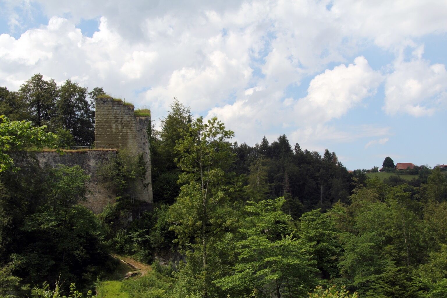
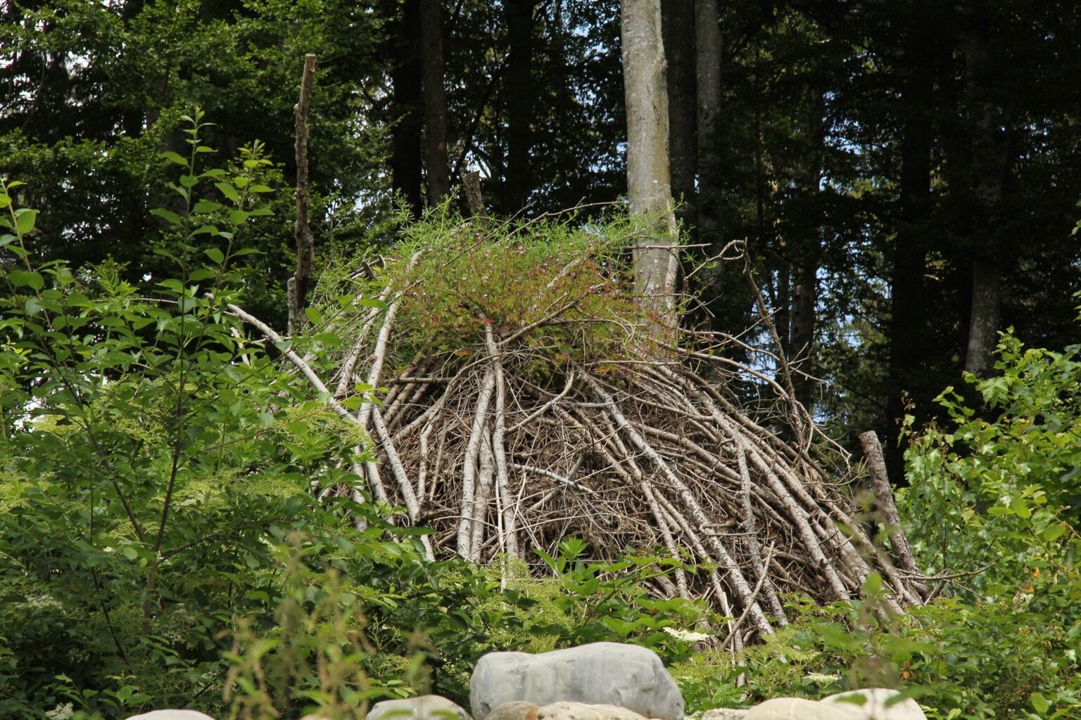
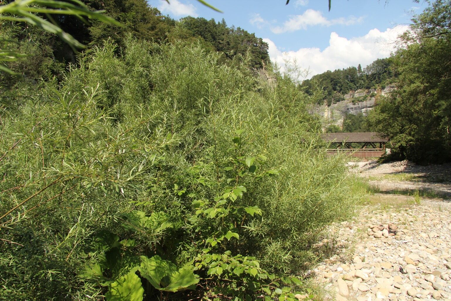

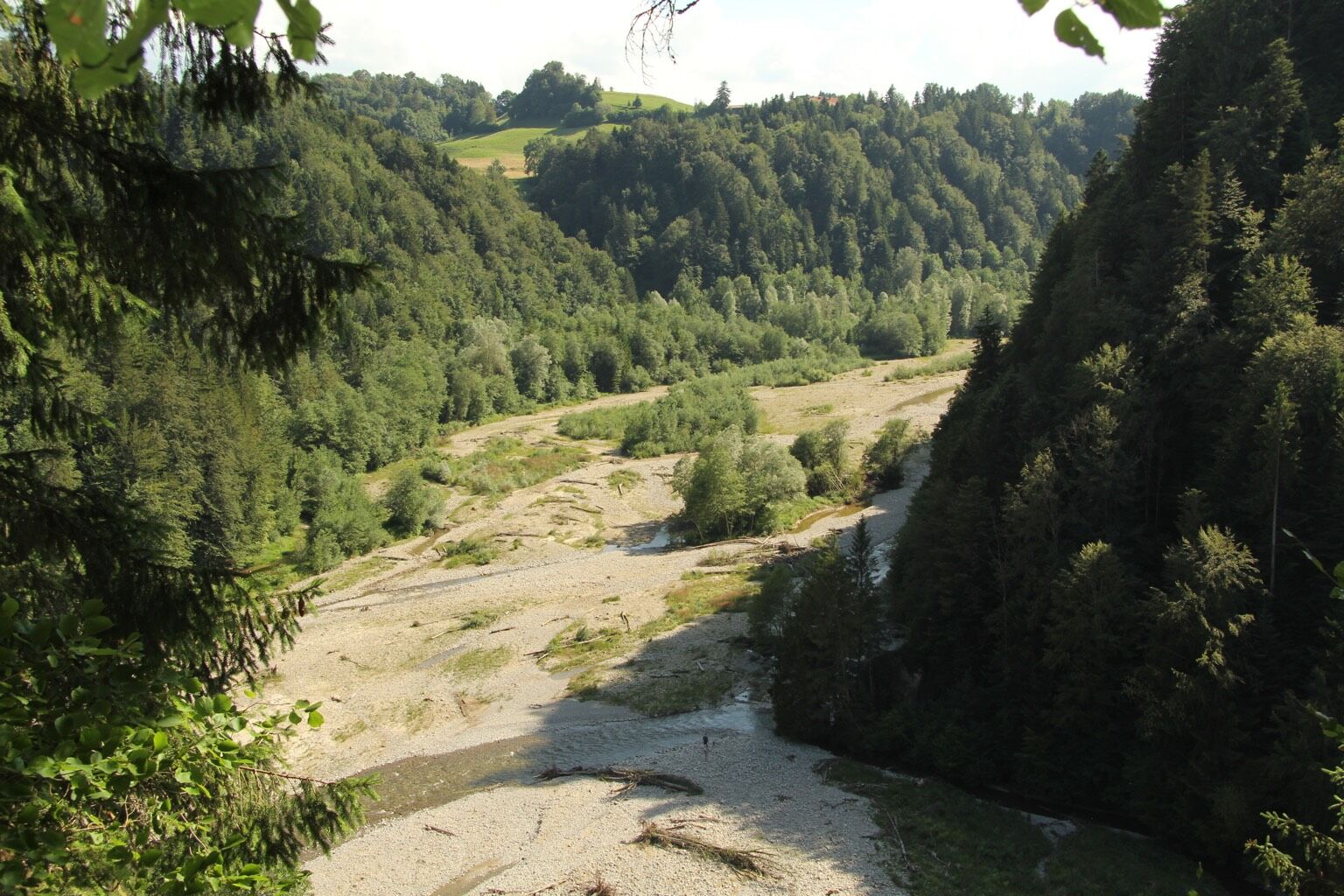
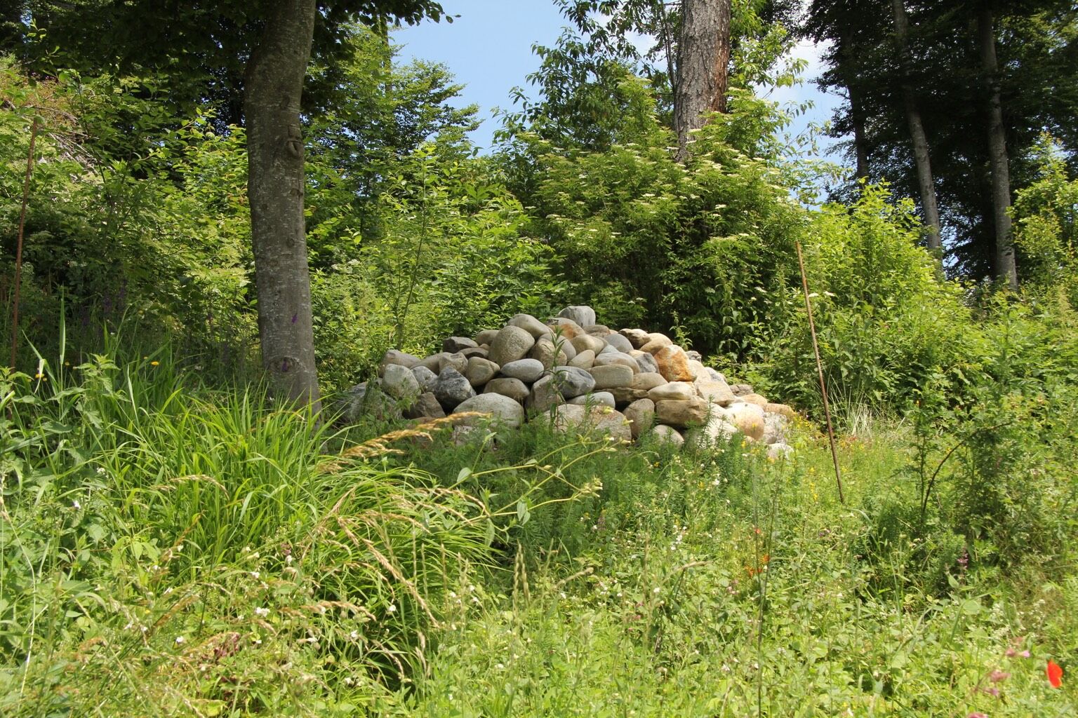

The Flower Walk ideally starts at Schwarzenburg Station. From there it leads north down to the Sense. After climbing out of the Sense Gorge again, it continues eastwards to the church in Wahlern. Along untrafficked forest roads and over fields, the path leads to the various information stations. At over 30 digital information boards the app informs about the fauna and flora to be seen.
Ano
Weather-appropriate clothing
Route with Schweiz Mobil
Oblíbené prohlídky v okolí
- 4.5
Wasserscheide - Gantrisch Seeli
světloTuristika 9.33 km - 4.5
Vreneli Trail Guggisberg
středníTematická stezka 5.35 km - 5.0
Gürbetal High Trail (SwitzerlandMobility 380)
středníTuristika 18.2 km - 5.0
Around the Guggershorn (Switzerland Mobility 501)
středníMountainbike 23.4 km Selibühl Panoramatrail (SchweizMobil 113)
světloSněžnice 4.34 km- 4.5
Gantrisch Königsroute (SchweizMobil 502)
heavyMountainbike 30.4 km - 4.0
Wasserscheide - Untere Gantrischhütte - Schwefelberg Bad - Schüpfeflue
středníTuristika 10.8 km - 5.0
Boucle depuis Sodbach
světloTuristika 8.62 km Gantrisch Panorama route with Gäggersteg (Switzerland Mobility 379)
heavyTuristika 21.0 kmOberbalm-Bütschelegg-Riggisberg
světloTuristika 16.4 km
Pěší turistika a stopování


Nenechte si ujít nabídky a inspiraci pro vaši příští dovolenou
Vaše e-mailová adresa byl přidán do poštovního seznamu.





