


Mountain tour - Scheinbergjoch (basin circular route Hasental)
Fotografie našich uživatelů
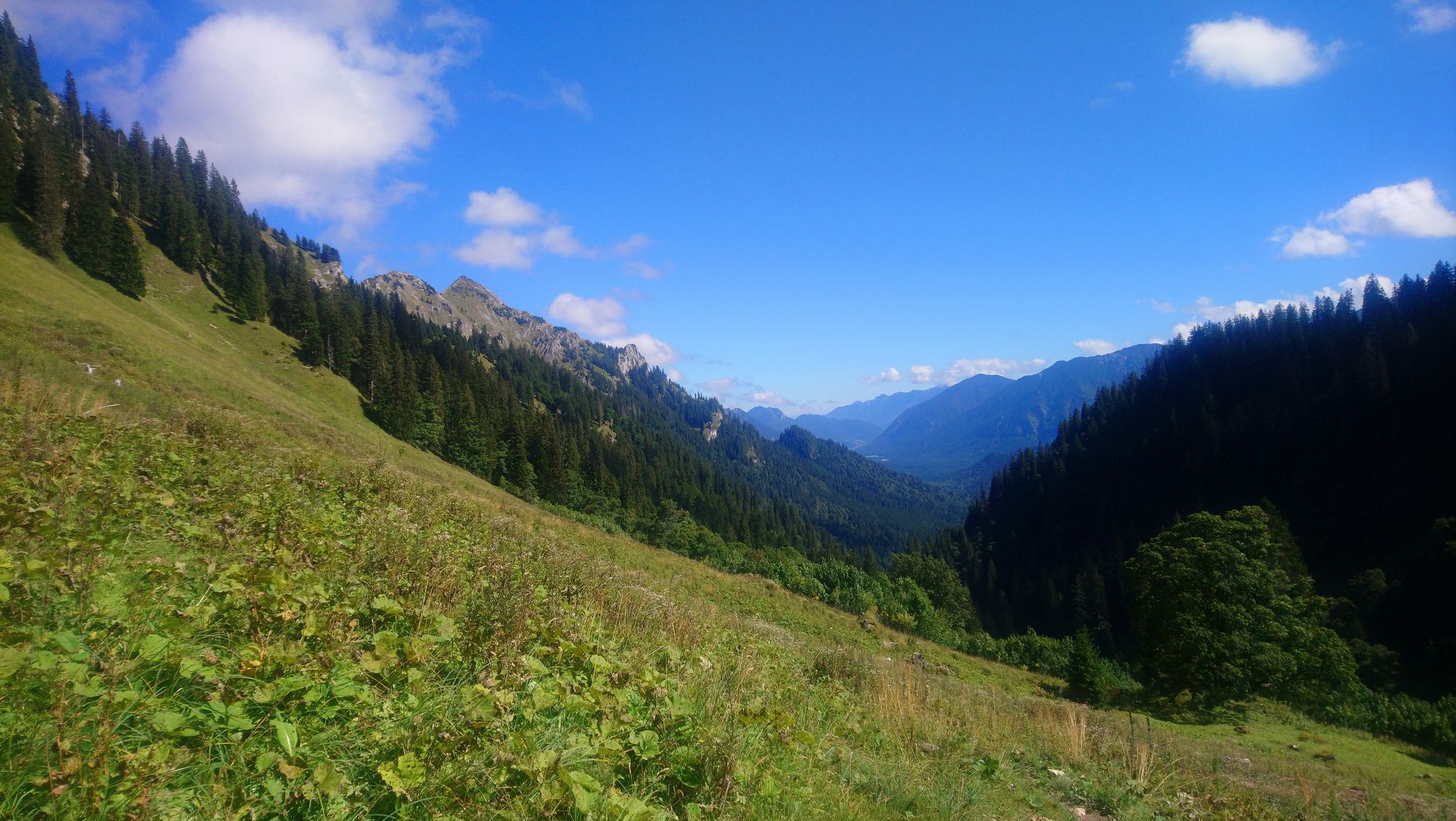
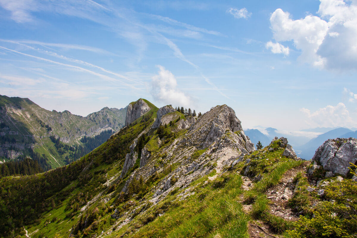
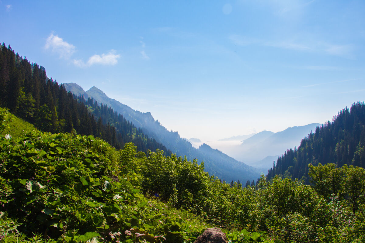
A now very popular, varied circular hike in the Nature Park Ammergau Alps. This circular hike with the spectacular mountain basin can be done in both directions.
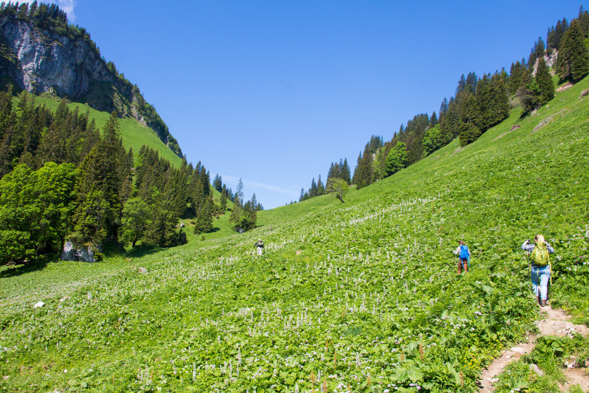
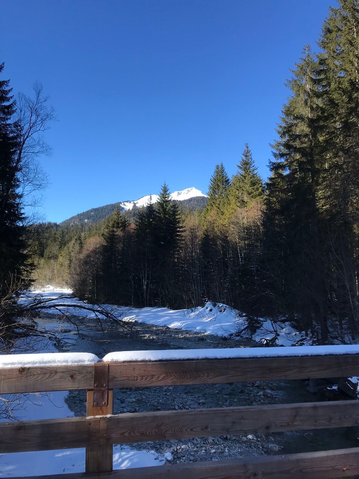
From the large winter parking lot at Scheinberg in the rear Graswangtal, you hike into the Sägerbachtal. Initially, you continue along a forest road beside the Sägerbach until, after about 1.5 hours and 300 meters ascent, you leave the mountain forest.
The climb along the somewhat tedious forest motorway will later reward you with solitary mountain trails and dreamlike views.
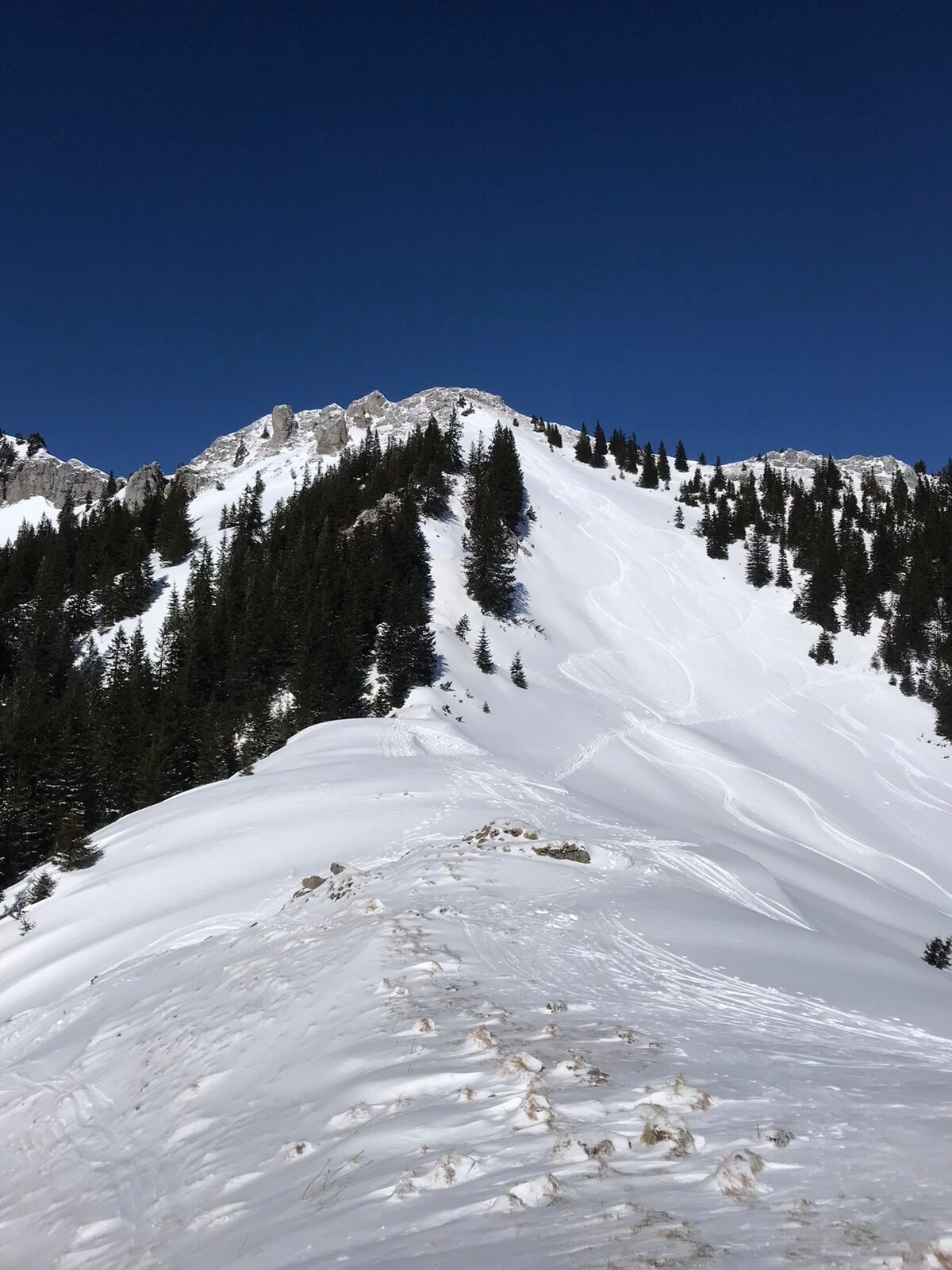
Across meadows with old deciduous trees you reach the Bäckenalmstattel. Turning right you would reach the Feigenkopf to the Große Klammspitze, or straight ahead to the Kenzenhütten. However, you take the left mountain path.
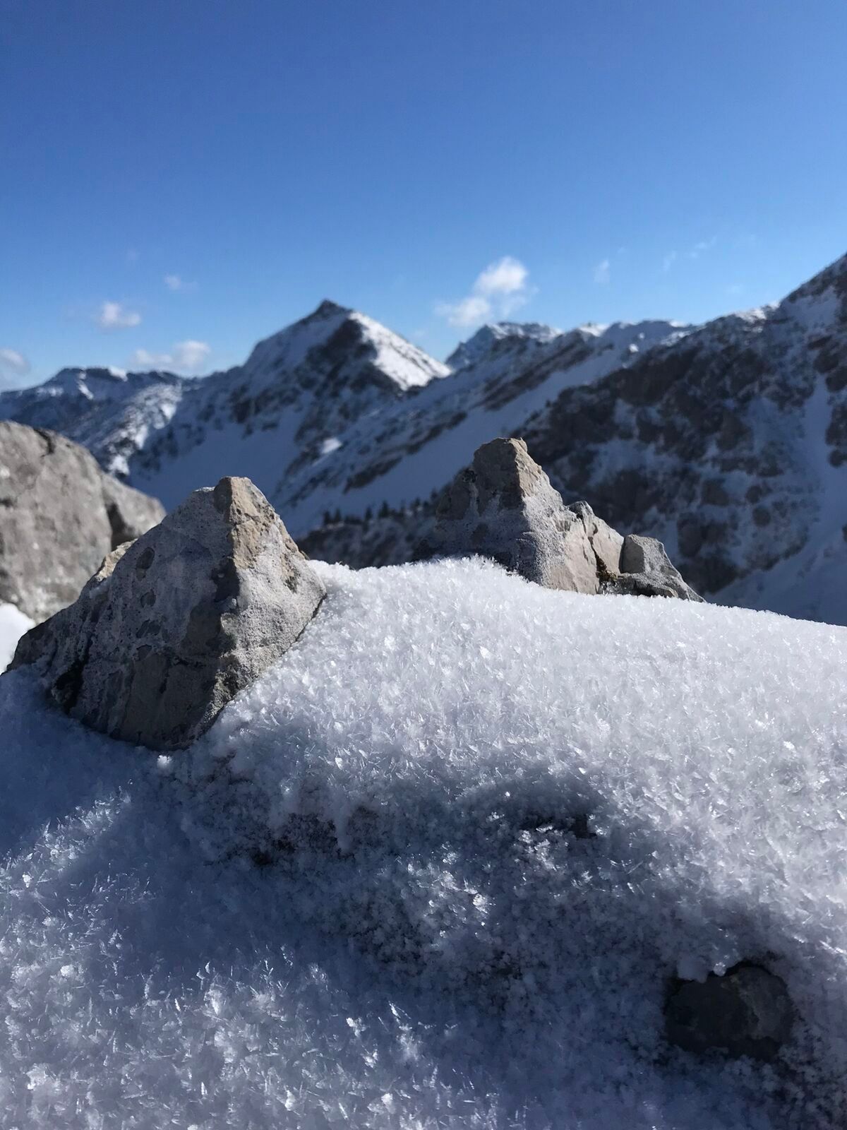
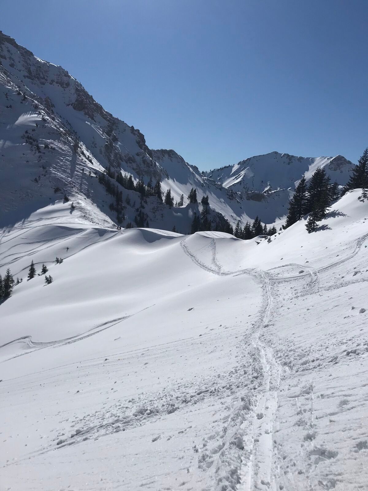
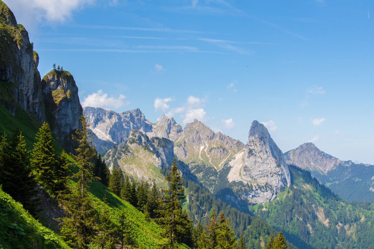
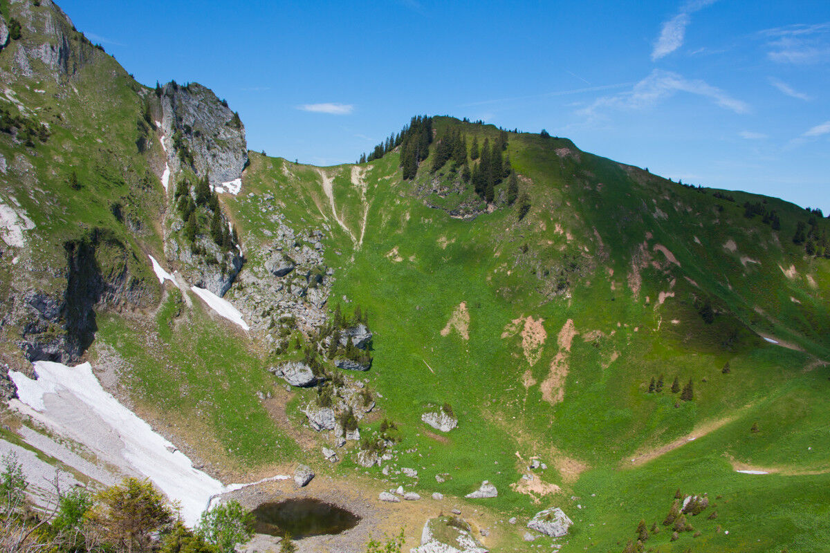
After a shorter ascent, you reach the edge of the Kesselwand. Your gaze sweeps over a huge basin, similar to a volcanic crater. Usually, a small lake forms here in summer or with enough precipitation.
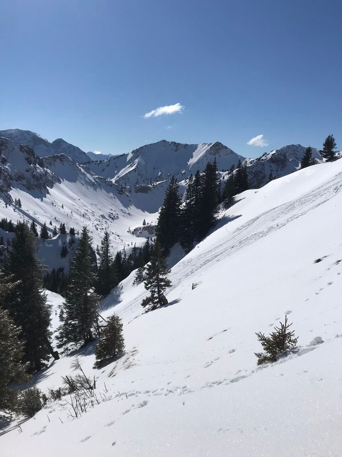
You hike down into the basin to climb back up on the opposite side to the basin edge and the highest point, the Scheinbergjoch.
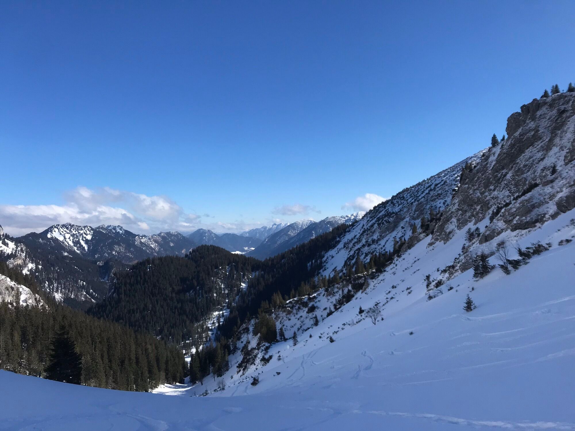
From the Scheinbergjoch, you do not descend into the basin but go in the opposite direction downhill to the Lösertaljoch. At the Lösertaljoch, you follow the Lösertalgraben downhill across open meadows, cross the Hasentalgraben in the forest, and then rejoin the ascent path in the Sägertal.
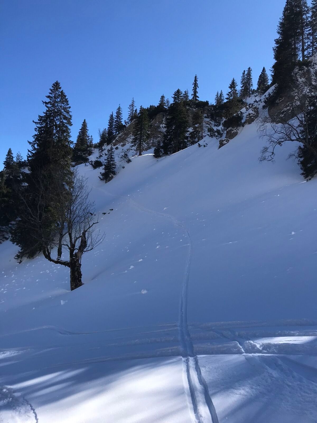
Follow this forest road back to the starting point in the Graswangtal.
Our recommendation:
Never get lost again - we recommend the free app "Zugspitz Region" including GPX tracks for all routes in the region.
Ano
Welcome to the Nature Park Testing Room! Here you can extensively test trekking poles, daypacks, child carriers, and crampons from well-known manufacturers before deciding to buy. Let our team advise you to experience the best possible outdoor adventure. You can find our Nature Park Testing Room in the tourist information offices of Bad Bayersoien and Bad Kohlgrub, and at the Drahtesel Rental Lukas Spindler in Oberammergau.
More information: www.ammergauer-alpen.de/teststubn
In an emergency, please contact the nearest rescue control center. Regardless of location, you can reach it throughout Germany at the telephone number 112.
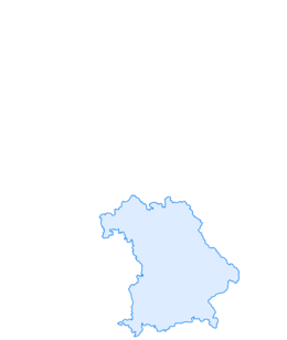
A95, B23 via Ettal and Graswang past Linderhof to the winter parking lot at the summit of Scheinberg
The start and end point of this route is particularly conveniently reachable by the Ammergebirge ring bus line.
All information about the ring bus can be found here: www.ammergauer-alpen.de/ringbus
Scheinberg parking lot (winter), Graswangtal
Outside the tourist high season, you are mostly alone on this route due to the very long approach and can fully enjoy the mountain idyll.

Oblíbené prohlídky v okolí
-
4.1
Drehhütte
světloTuristika 3.34 km -
4.5
Mountain route - Teufelstättkopf
středníTuristika 10.8 km -
4.7
Yellow Wall Trail, Tegelberg (A)
středníVia ferrata 3.65 km -
4.5
Circular hike Dreh- and Rohrkopfhütte
světloTuristika 8.76 km -
4.8
Schafkopf
světloTuristika 10.2 km -
4.2
Cultural trail Schutzengelweg
středníTuristika 5.13 km -
3.6
Rundwanderung Plansee
středníTuristika 9.80 km -
4.9
Tegelberg | Branderschrofen | Neuschwanstein
středníTuristika 14.8 km -
4.5
Schönjöchl am Plansee
středníTuristika 7.21 km -
4.5
Rundwanderweg um den Eibsee
světloTuristika 6.89 km
Pěší turistika a stopování


Nenechte si ujít nabídky a inspiraci pro vaši příští dovolenou
Vaše e-mailová adresa byl přidán do poštovního seznamu.