
Iller loop with suspension bridge near Bad Grönenbach
střední
Pořiďte si tuto prohlídku do mobilního telefonu
Iller loop with suspension bridge near Bad Grönenbach
střední
Turistika
6.36
km
Naskenujte QR kód a spusťte navigaci v aplikaci bergfex.


Pěší turistika a stopování





Iller loop with suspension bridge near Bad Grönenbach
střední
Vzdálenost
6.36
km
Doba trvání
01:45
h
Ascent
118
hm
Hladina moře
613 -
707
m
Úroveň obtížnosti: T1
Stažení skladby
Iller loop with suspension bridge near Bad Grönenbach
střední
Turistika
6.36
km
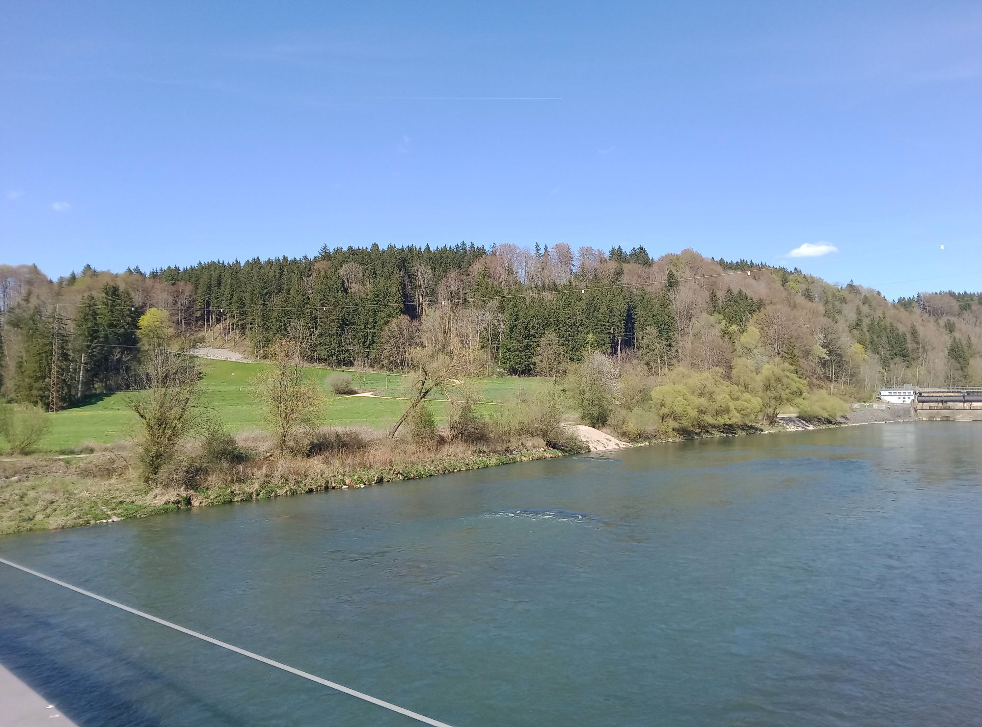
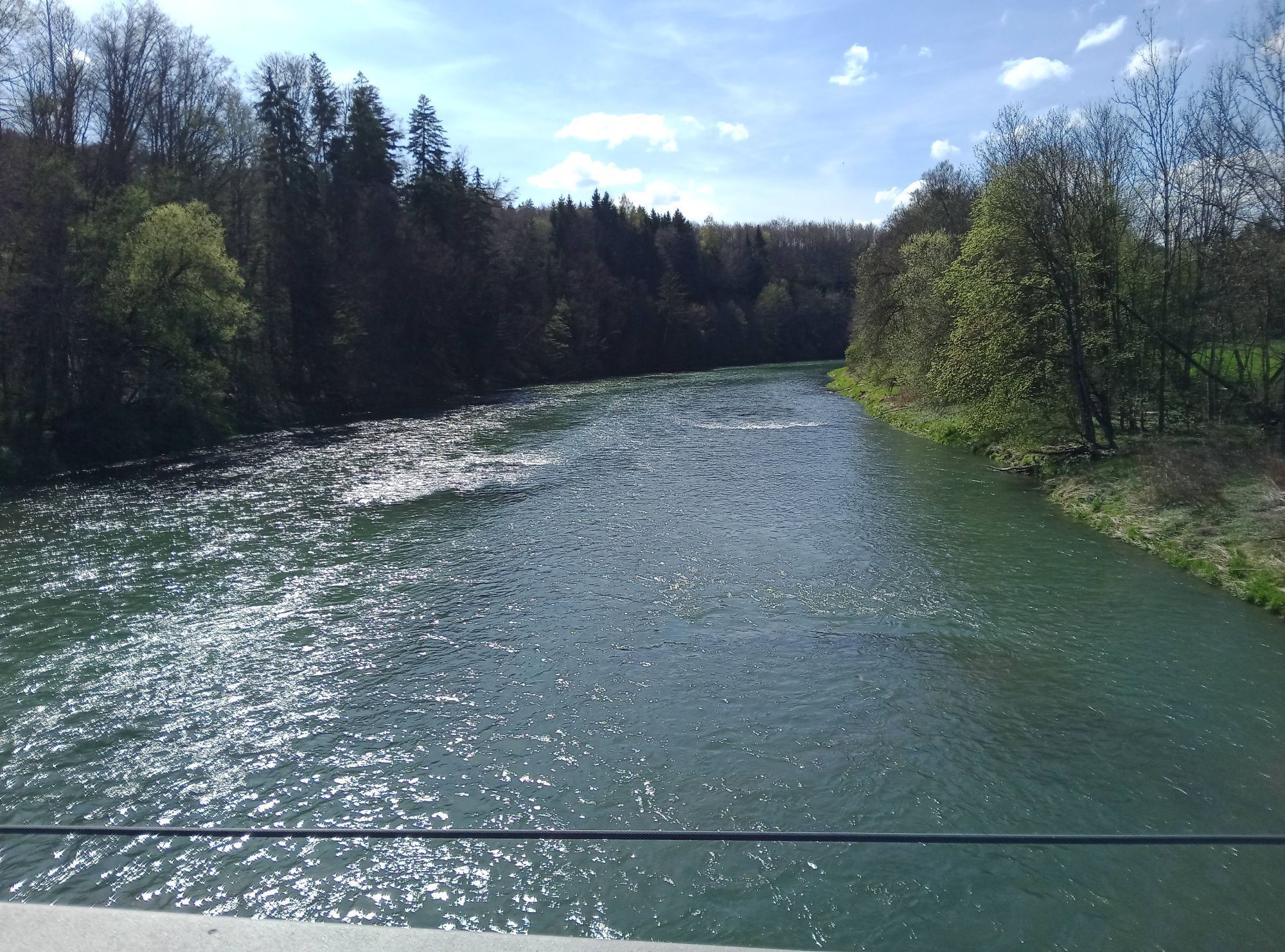
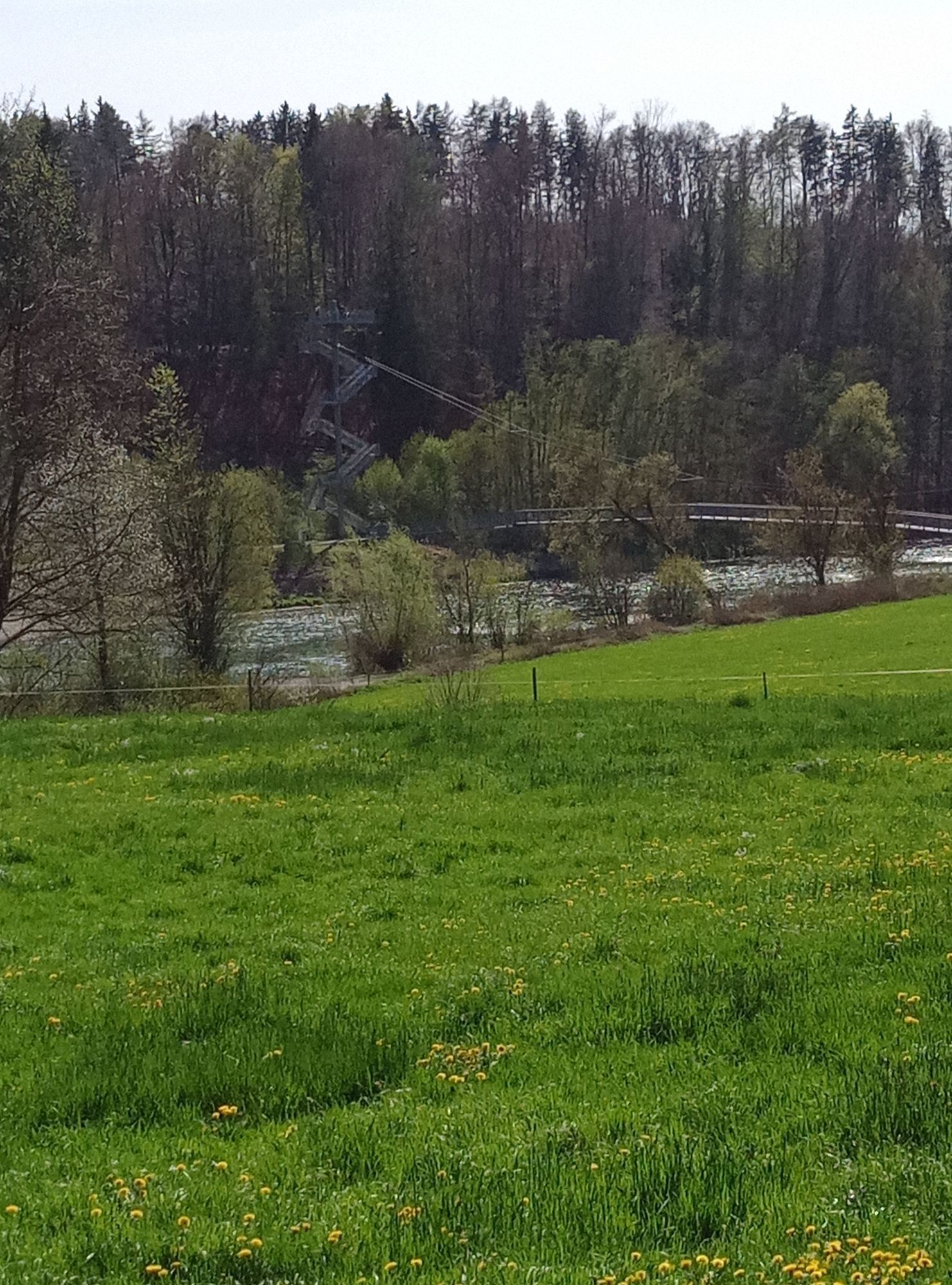
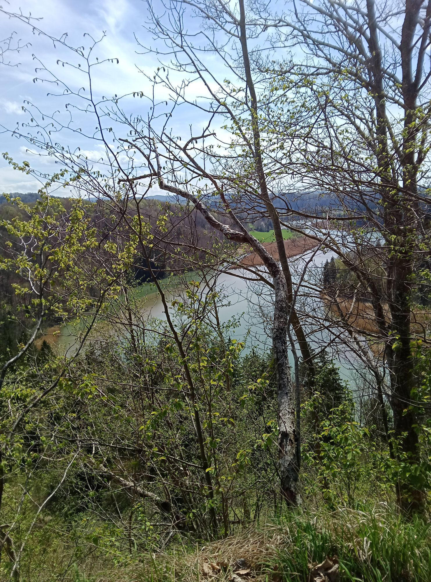
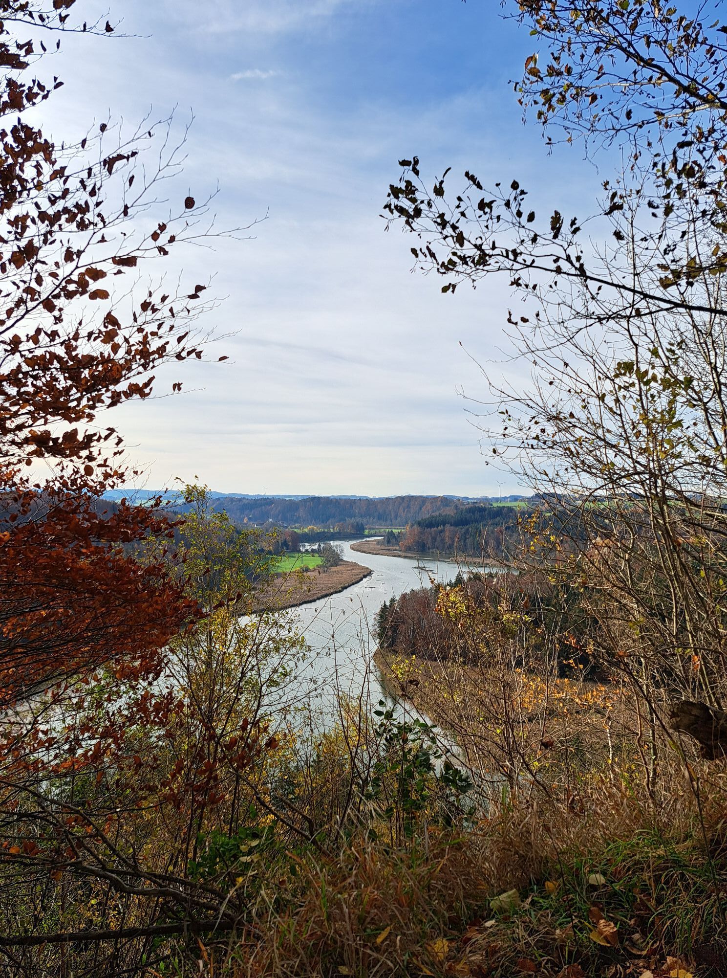
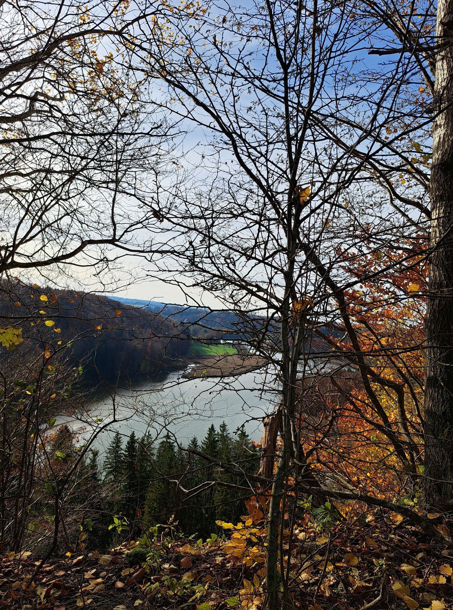
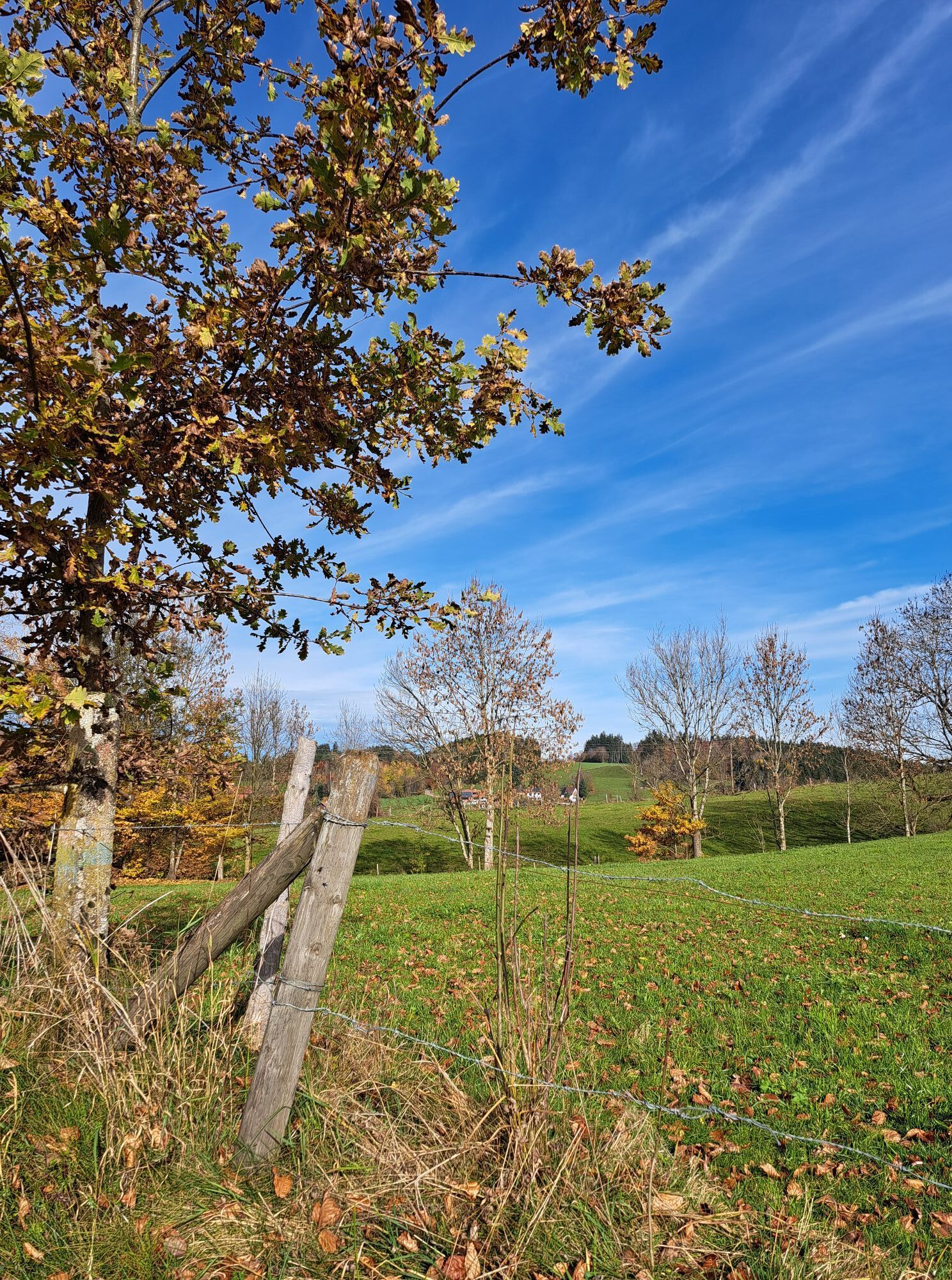
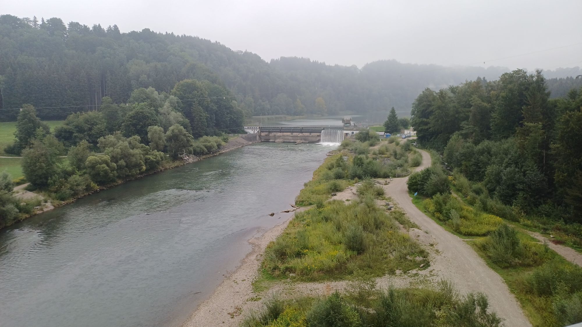
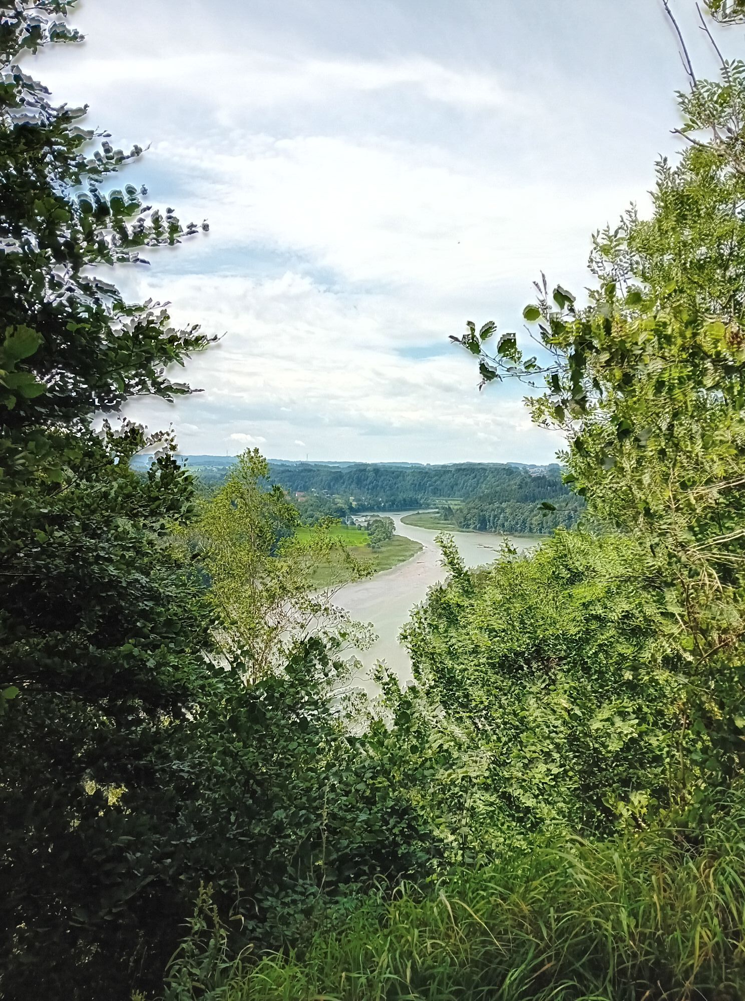
The starting point is the free hiking car park in Rothenstein near Bad Grönenbach. We cross the street and follow the field path towards the Iller. At the nature lovers' house, the path runs straight above...
Popis
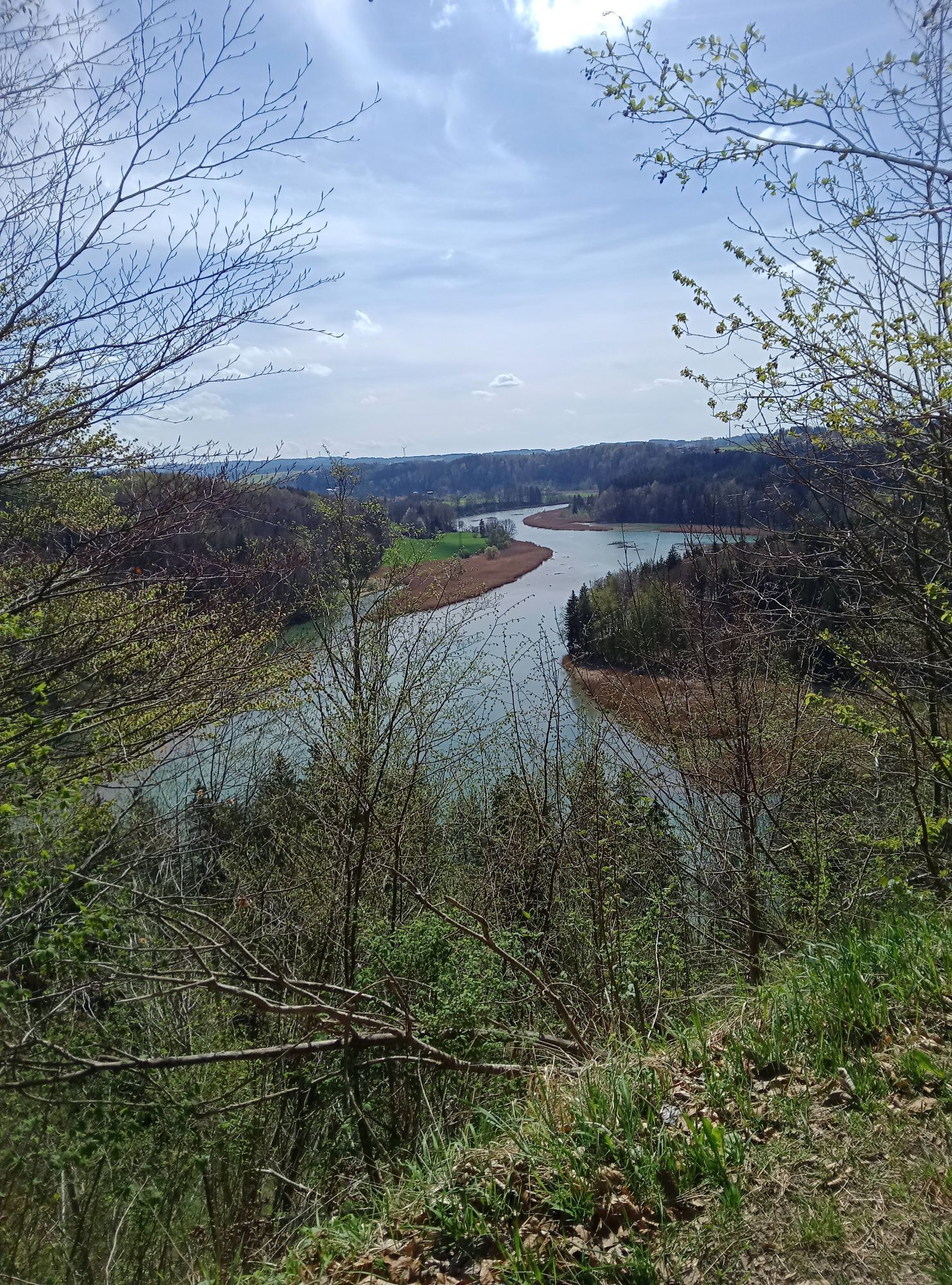
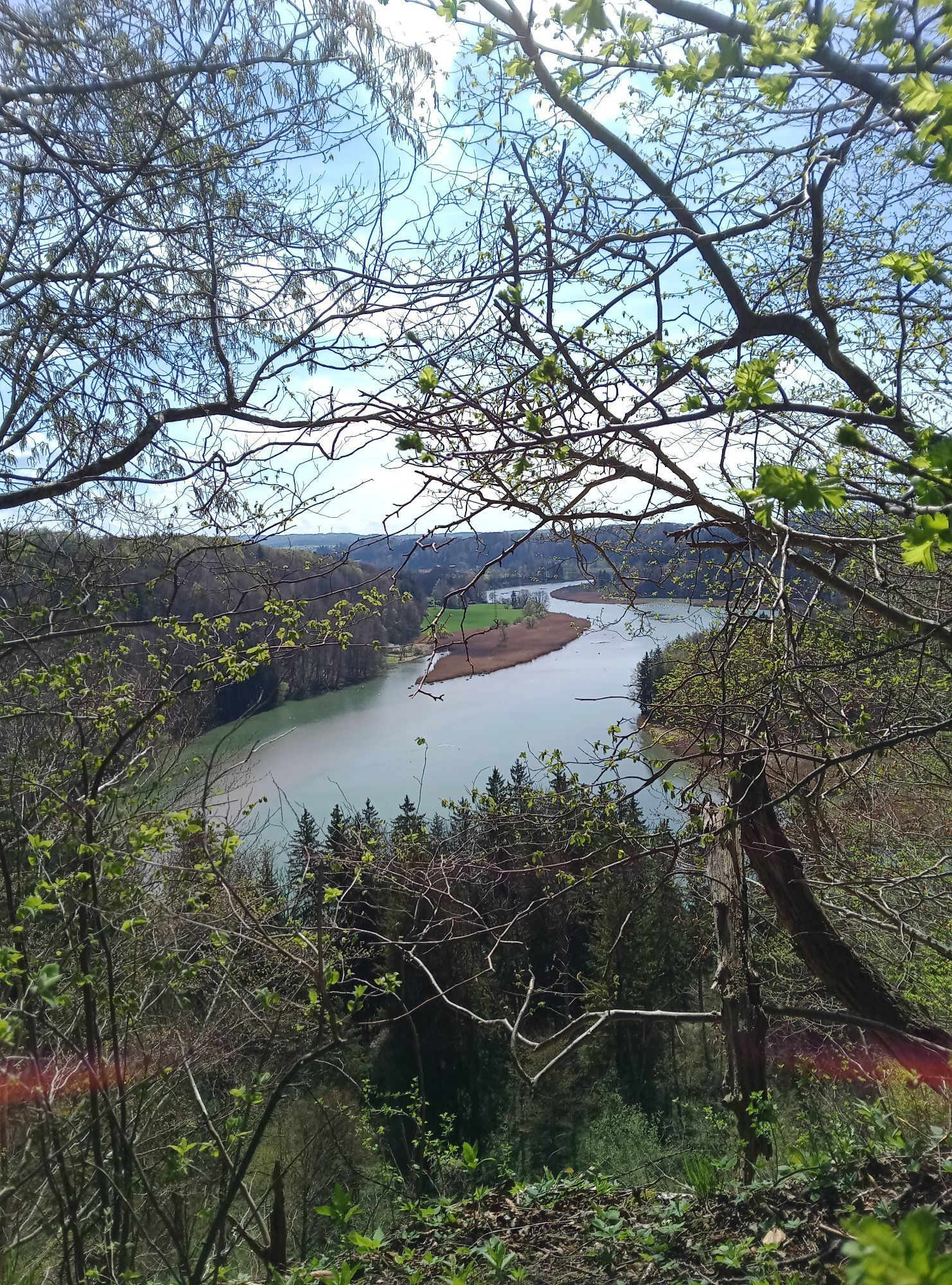
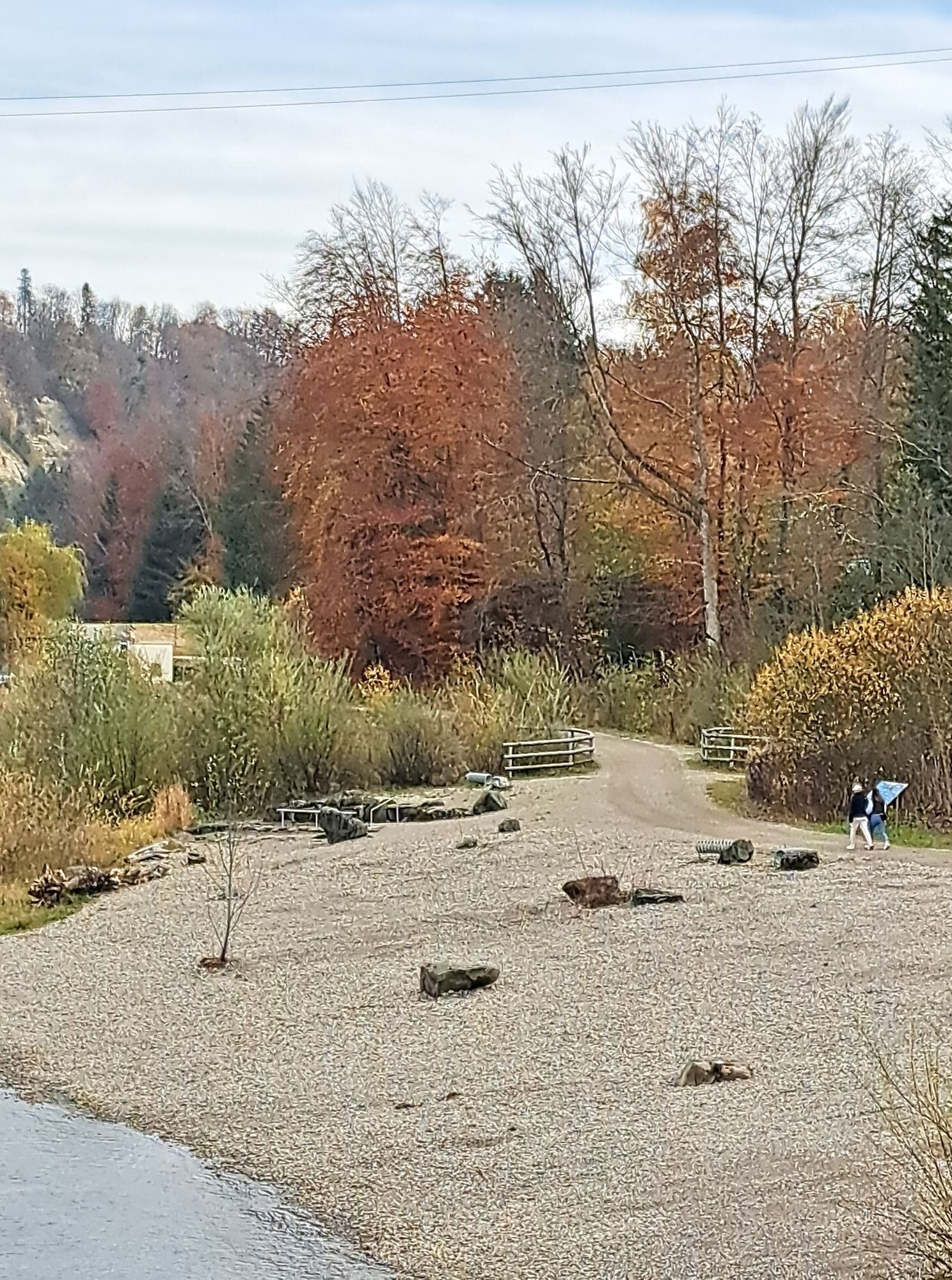
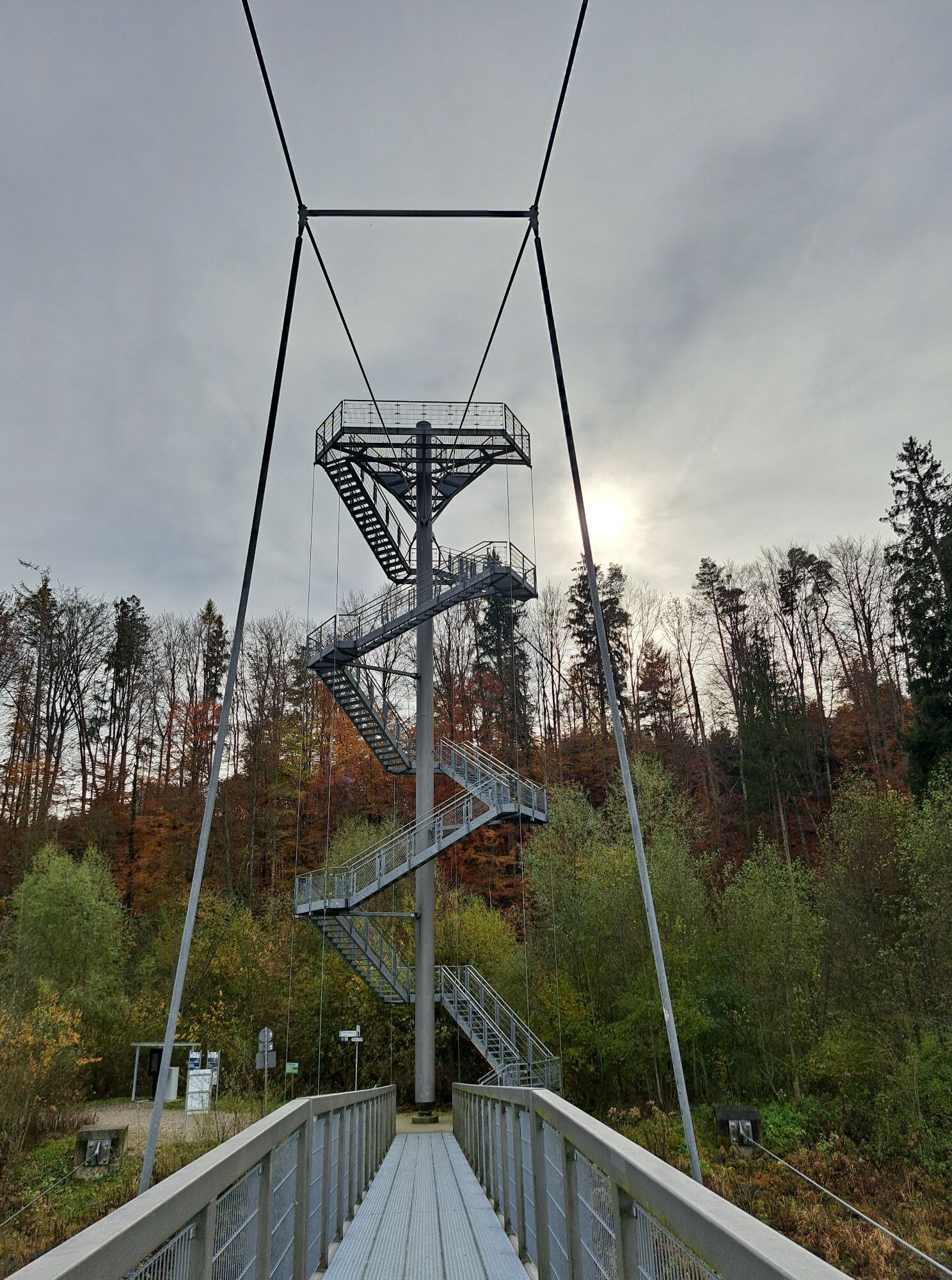
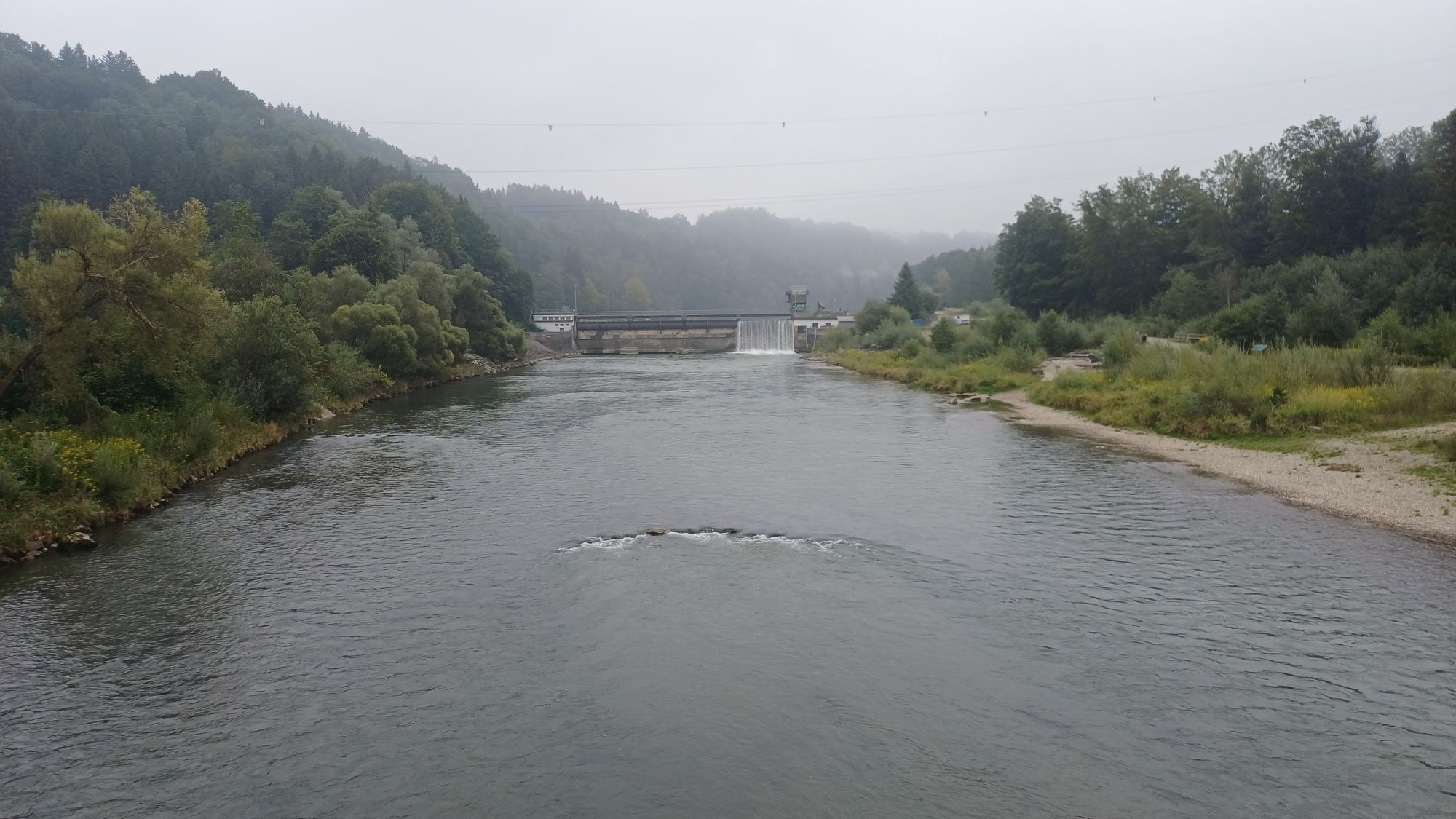
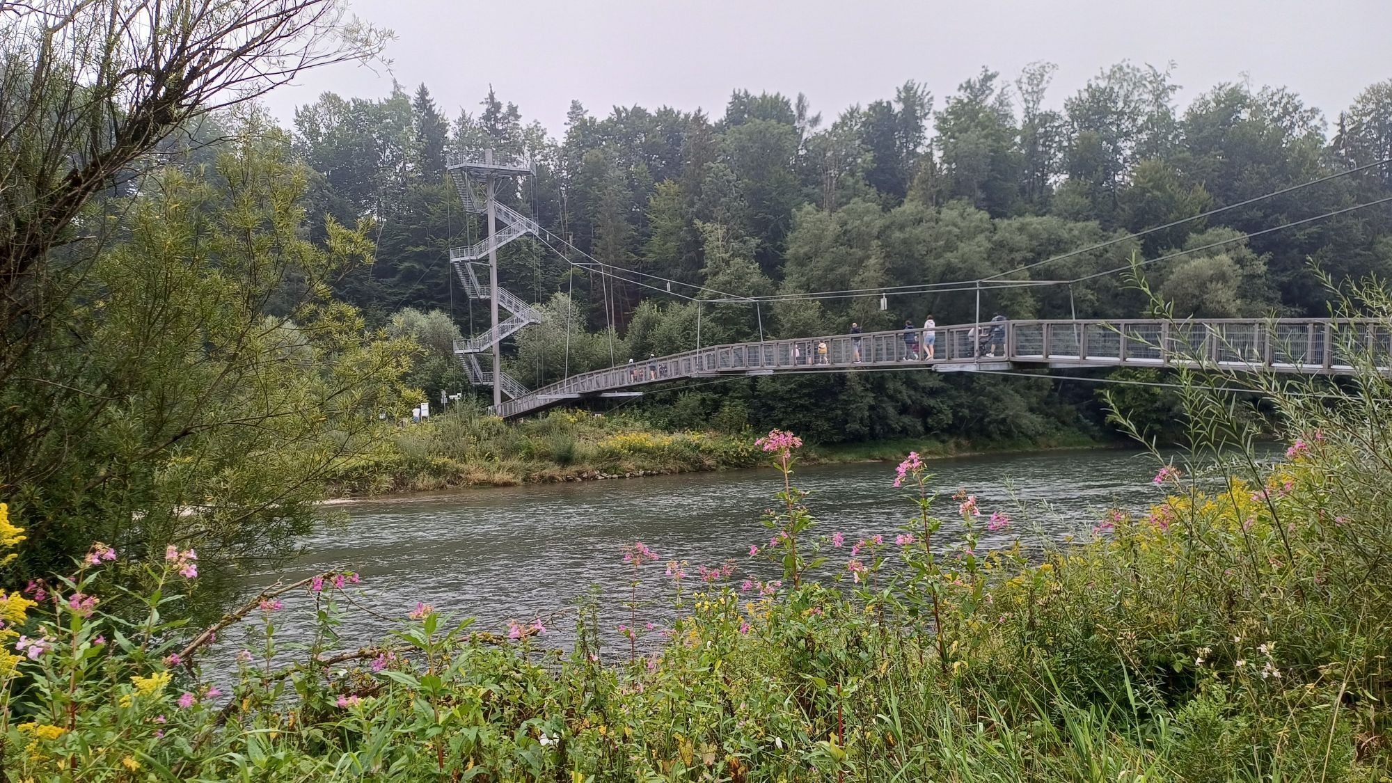
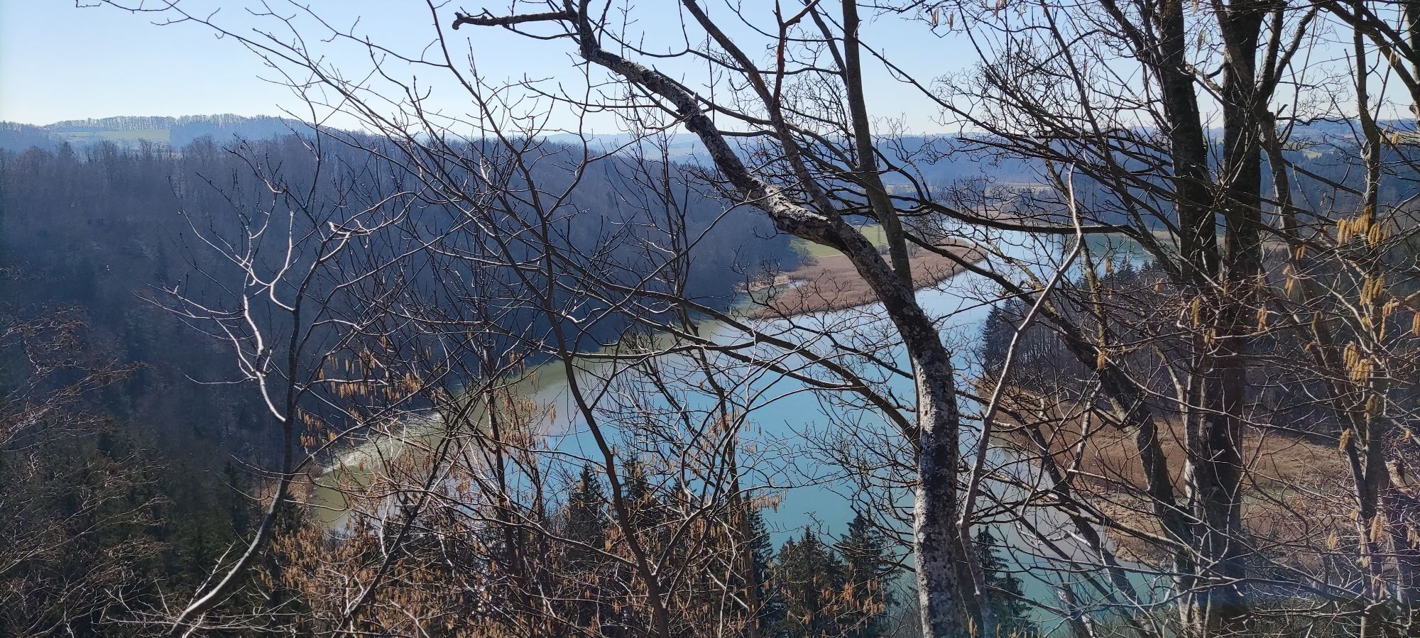
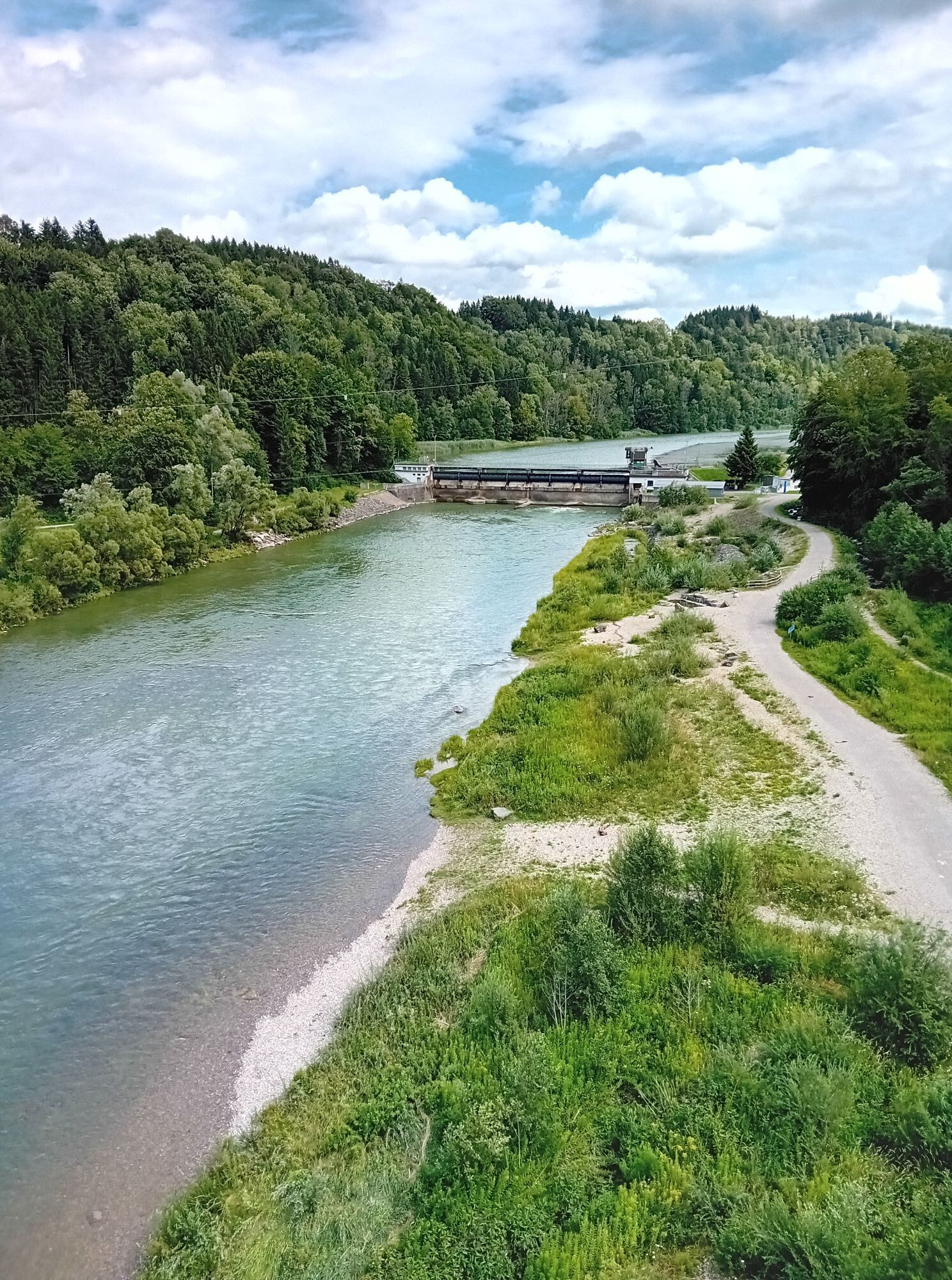
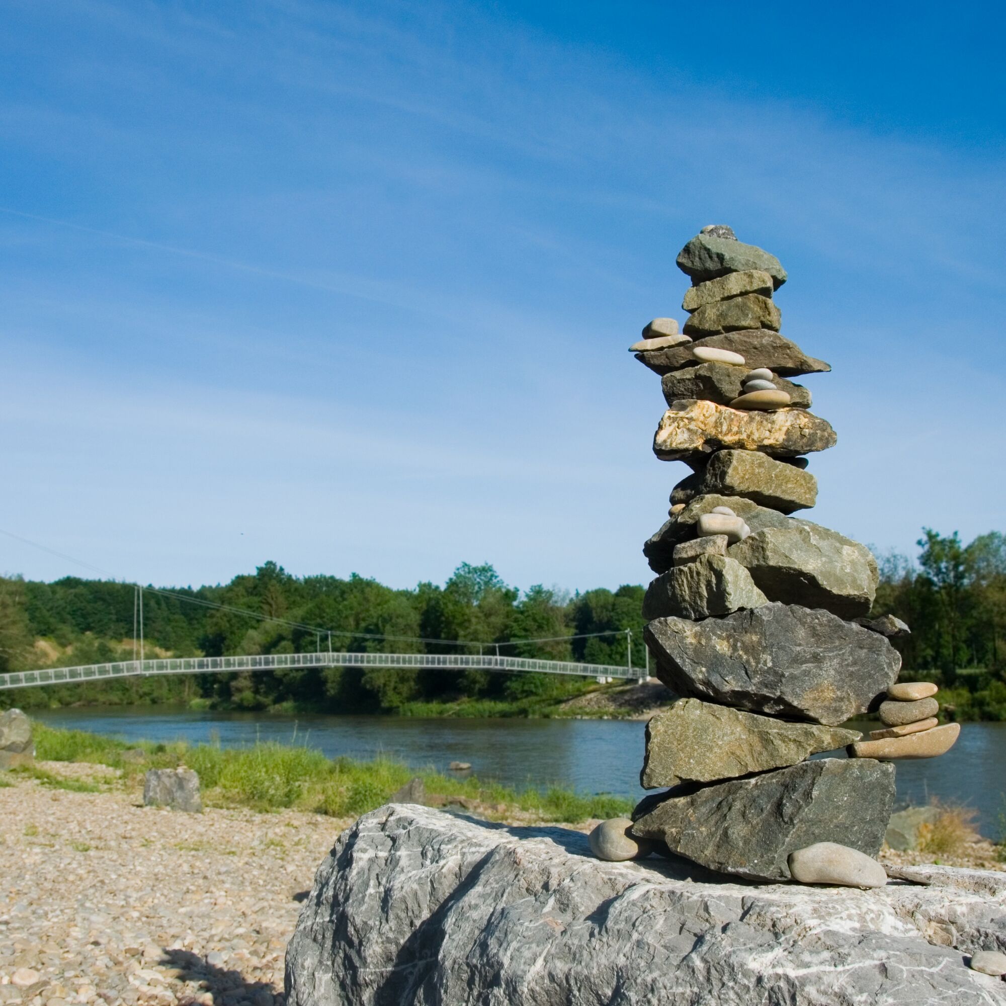
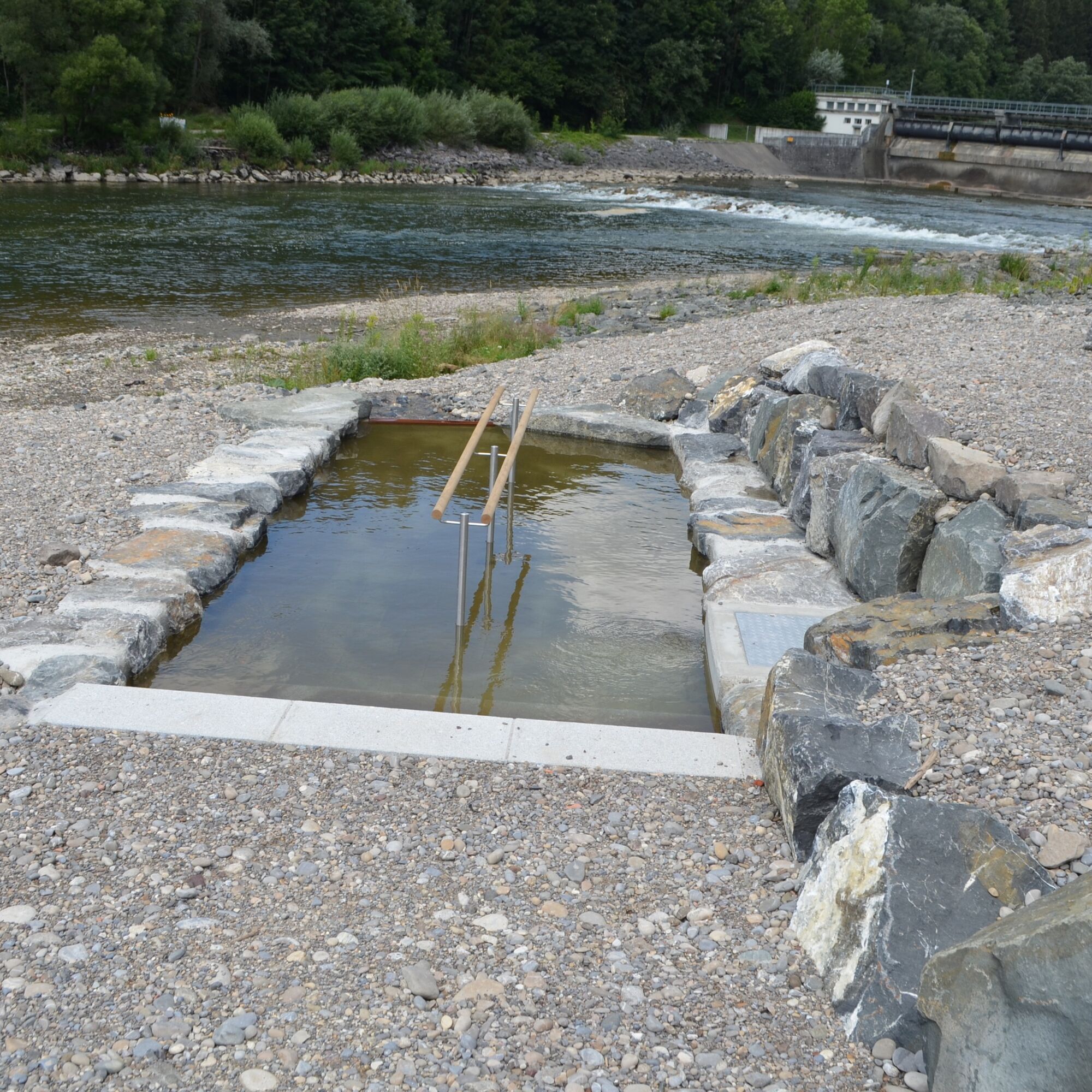
The starting point is the free hiking car park in Rothenstein near Bad Grönenbach. We cross the street and follow the field path towards the Iller. At the nature lovers' house, the path runs straight above the Iller. At the next fork, you can either go straight down steeply (caution when wet) to the Iller and then right towards the pedestrian suspension bridge. On the opposite side, there is an observation tower, a Kneipp facility, and nice seating areas.
For the return, we go back over the suspension bridge, then left around the forest area. This path can also be taken on the way out if it is too wet or if it is too steep for someone. We reach the path above the Iller again and return on the same path to the hiking car park.
Trasa
Rotkreuz
(706 m)
Úhel pohledu
0.8 km
Sack
(623 m)
Vypořádání
2.1 km
Aussichtsturm
(617 m)
Úhel pohledu
2.4 km
Rotkreuz
(706 m)
Úhel pohledu
5.4 km
Trasa
Iller loop with suspension bridge near Bad Grönenbach
střední
Turistika
6.36
km
Rotkreuz
(706 m)
Úhel pohledu
0.8 km
Sack
(623 m)
Vypořádání
2.1 km
Aussichtsturm
(617 m)
Úhel pohledu
2.4 km
Rotkreuz
(706 m)
Úhel pohledu
5.4 km
Autor
Poskytuje Touristikamt Kur & Kultur Ottobeuren
Prohlídku Iller loop with suspension bridge near Bad Grönenbach zajišťuje outdooractive.com.


Další informace a tipy
Úroveň obtížnosti
T1
Zatím žádné recenze
Získejte přehled Vždy živě na místě s více než 9 500 webkamerami. bergfex Jako uživatel Pro si nyní můžete zobrazit odpovídající webové kamery pro mnoho prohlídek v aplikaci prohlídky z. Můžete si tak přímo prohlédnout aktuální podmínky. 

Oblíbené prohlídky v okolí
- 5.0
Hängebrücke
Turistika 12.5 km - 4.5
On the Jakobus pilgrim route to the Schachenweiher
středníTuristika 11.9 km - 4.0
Glücksplaneten route - exploring the solar system in Ottobeuren
světloTuristika 6.31 km - 4.0
Schelmenheide circular route
světloTuristika 5.77 km - 5.0
Around the Bühler Forest
středníTuristika 5.65 km - 5.0
Ottobeurer Bannwald-Runde
světloTuristika 4.85 km - 4.5
Bad Grönenbach - Sack - Rothmoos
středníTuristika 9.48 km Günztal - Biotope circular route
světloTuristika 2.44 kmAround the Benedictine monastery
světloTuristika 1.59 km- 5.0
Löffelkrautweg Ollarzried
středníTuristika 9.75 km
Pěší turistika a stopování

Více než 550.000 návrhů výletů, podrobné mapy a intuitivní plánovač tras dělají z aplikace nezbytnou výbavu pro všechny milovníky přírody.

Nenechte si ujít nabídky a inspiraci pro vaši příští dovolenou
Přihlaste se k odběru newsletteru
Chyba
Došlo k chybě. Zkuste to prosím znovu.Děkujeme za vaši registraci
Vaše e-mailová adresa byl přidán do poštovního seznamu.
Zájezdy po celé Evropě
Rakousko Švýcarsko Německo Itálie Slovenia Francie Nizozemsko Belgie Polsko Lichtenštejnsko Česko Slovensko Španělsko Chorvatsko Bosna a Hercegovina Lucembursko Andorra Portugal Iceland United Kingdom Ireland Greece Albania North Macedonia Malta Norway Montenegro Moldova Kosovo Hungary San Marino Romania Estonia Latvia Belarus Cyprus Lithuania Serbia Bulgaria Monaco Denmark Sweden Finland





