





Circular hike to Falkenstein ruins
Úroveň obtížnosti: T2
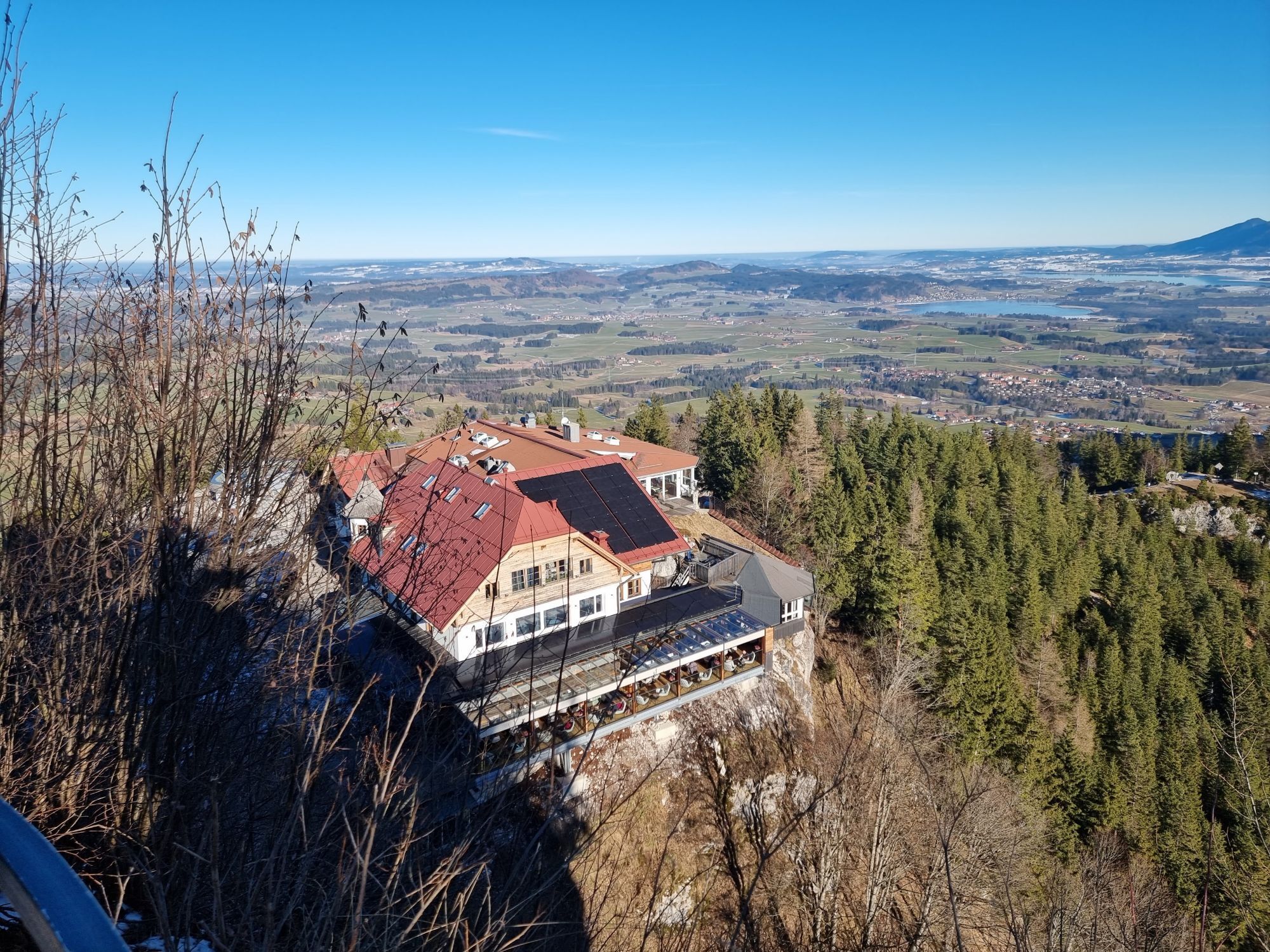
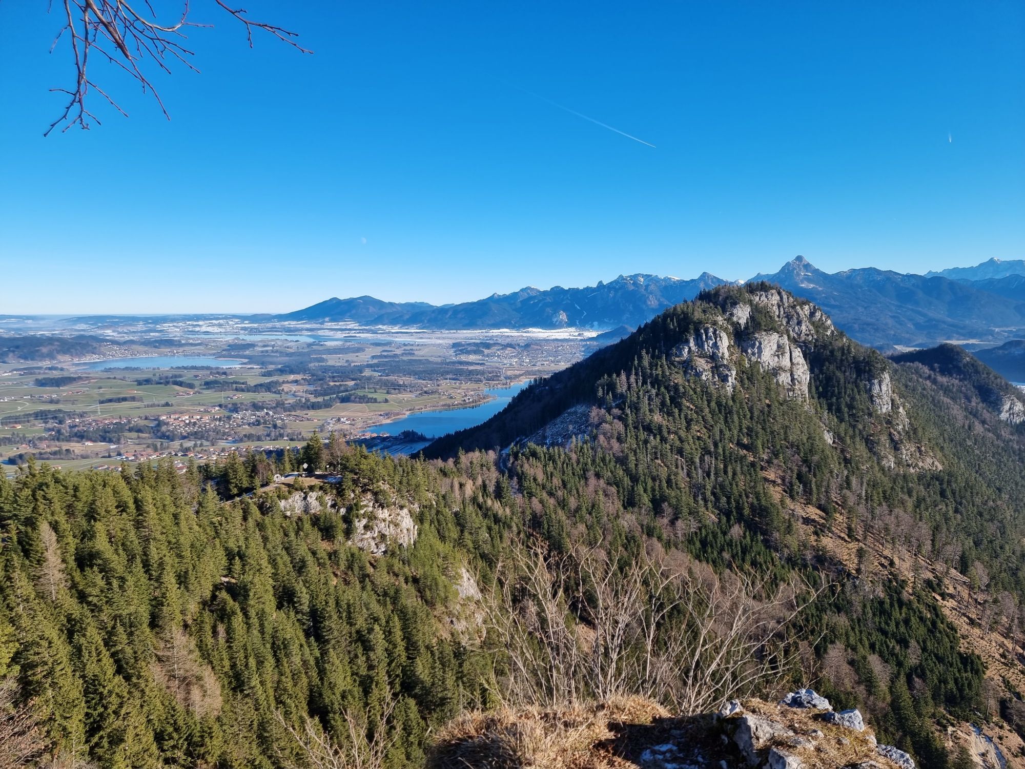
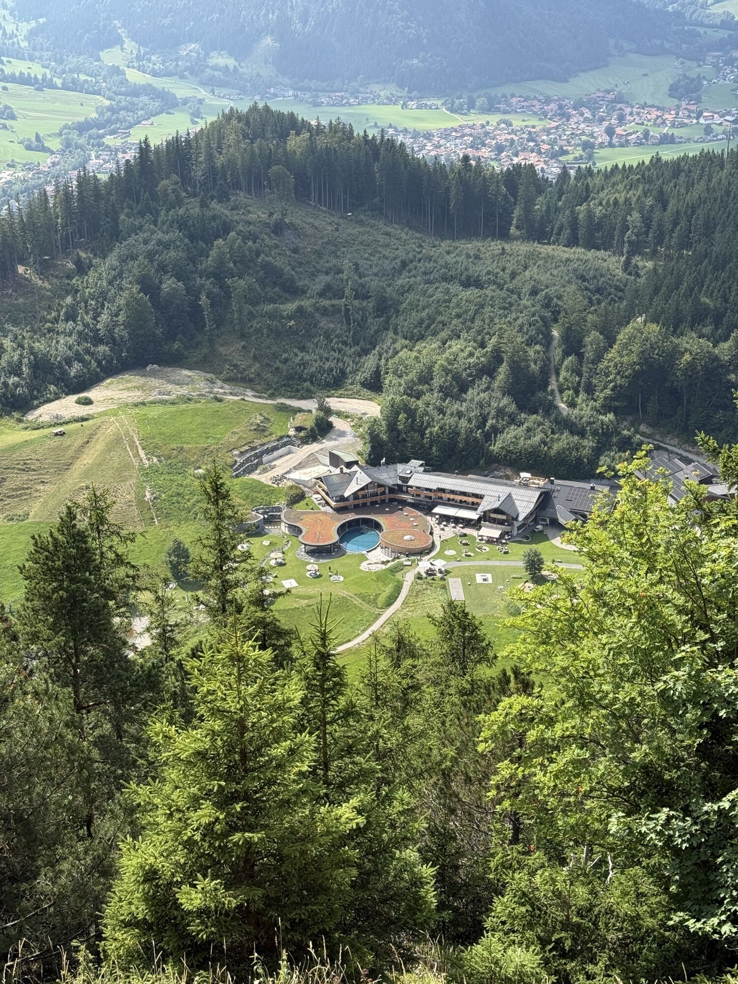
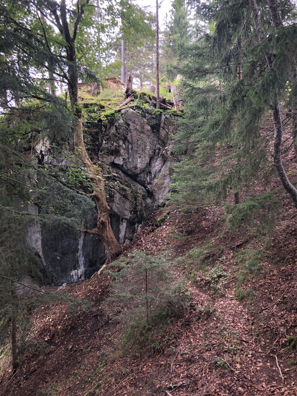
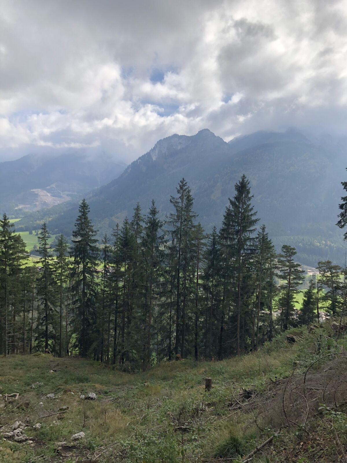
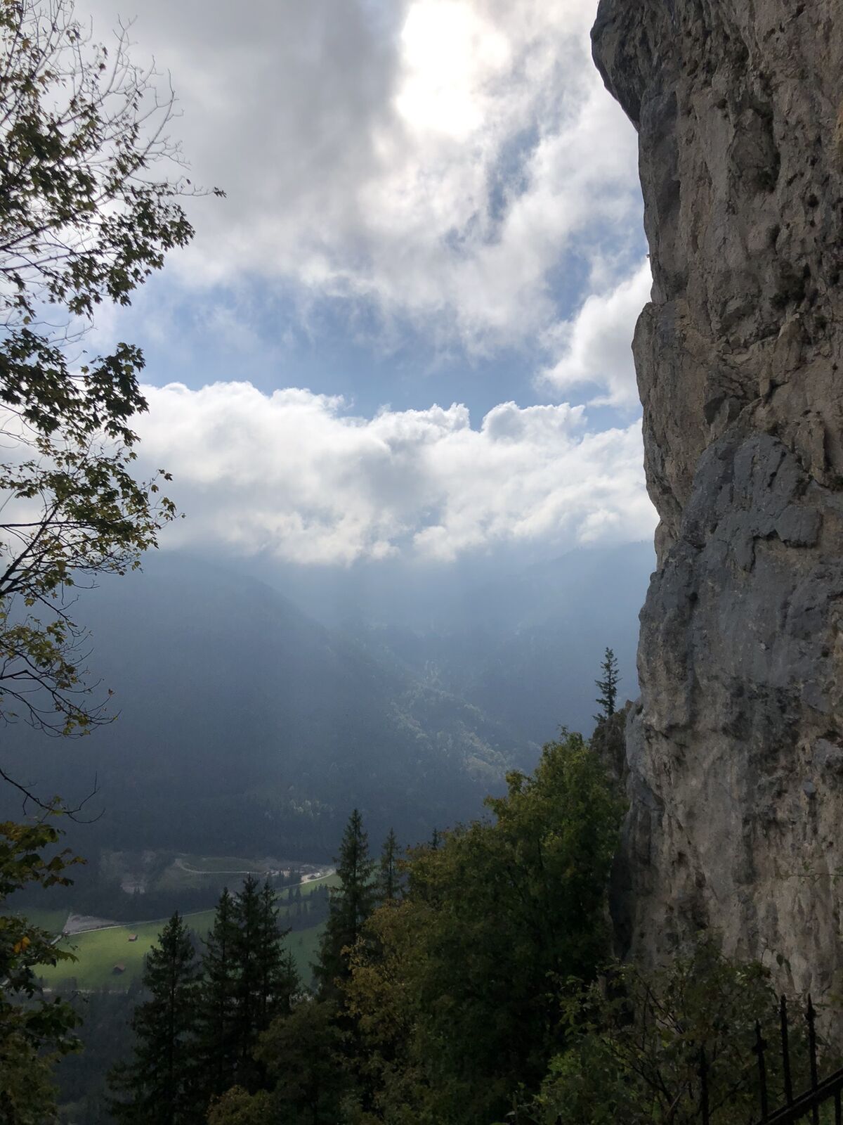
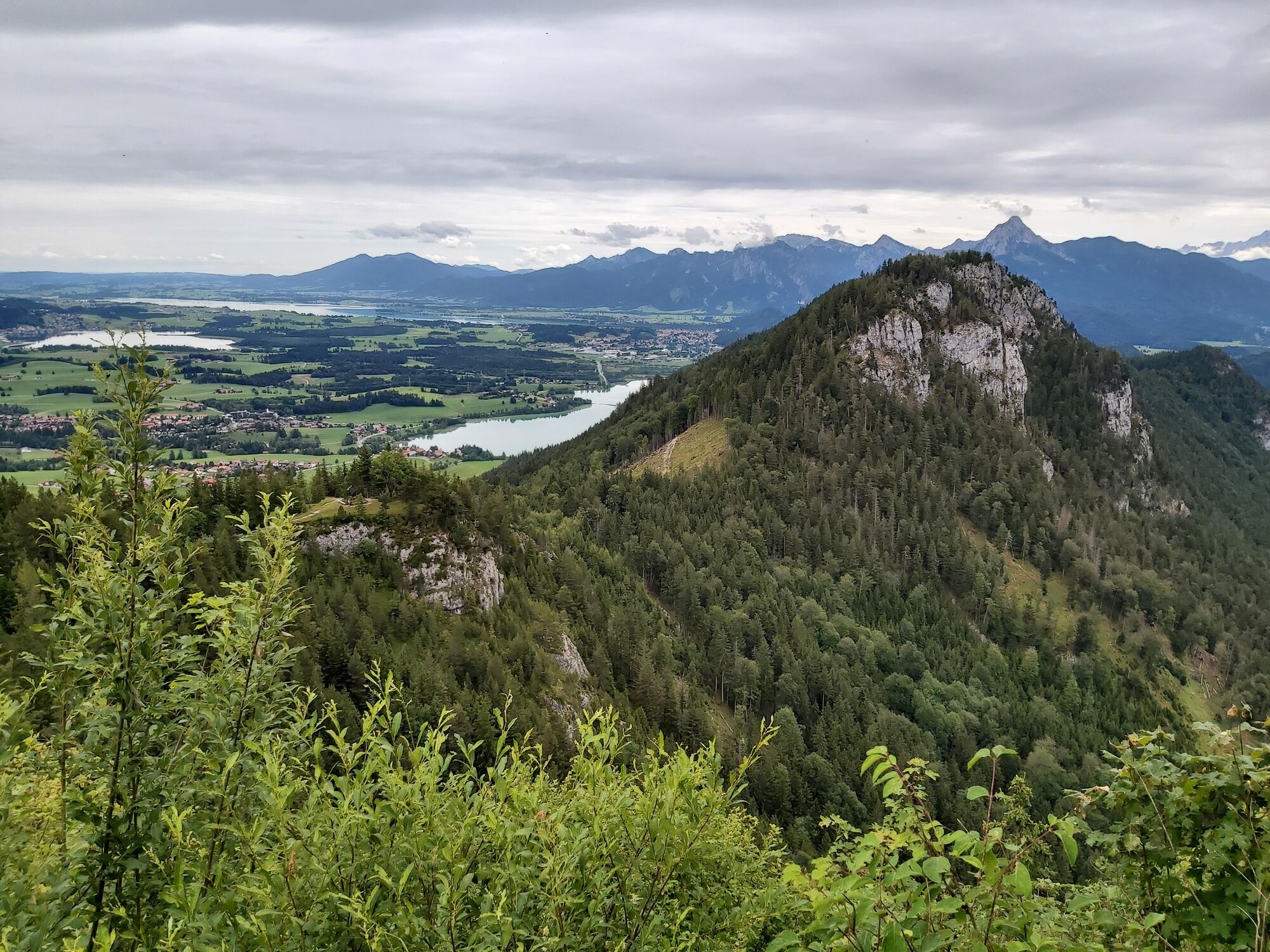


The scenic hike to the Falkenstein castle ruins at 1277m elevation is the ideal route for all panorama fans. Starting at the Breitenbergbahn parking lot, the first ascent leads past the Mariengrotte, impressively...
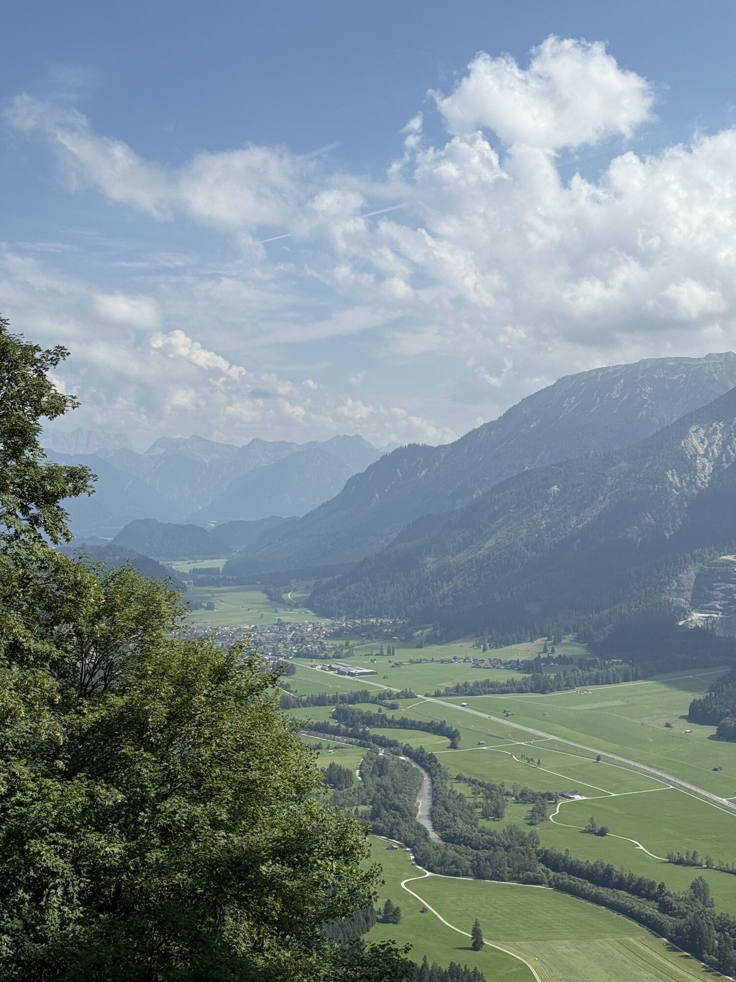
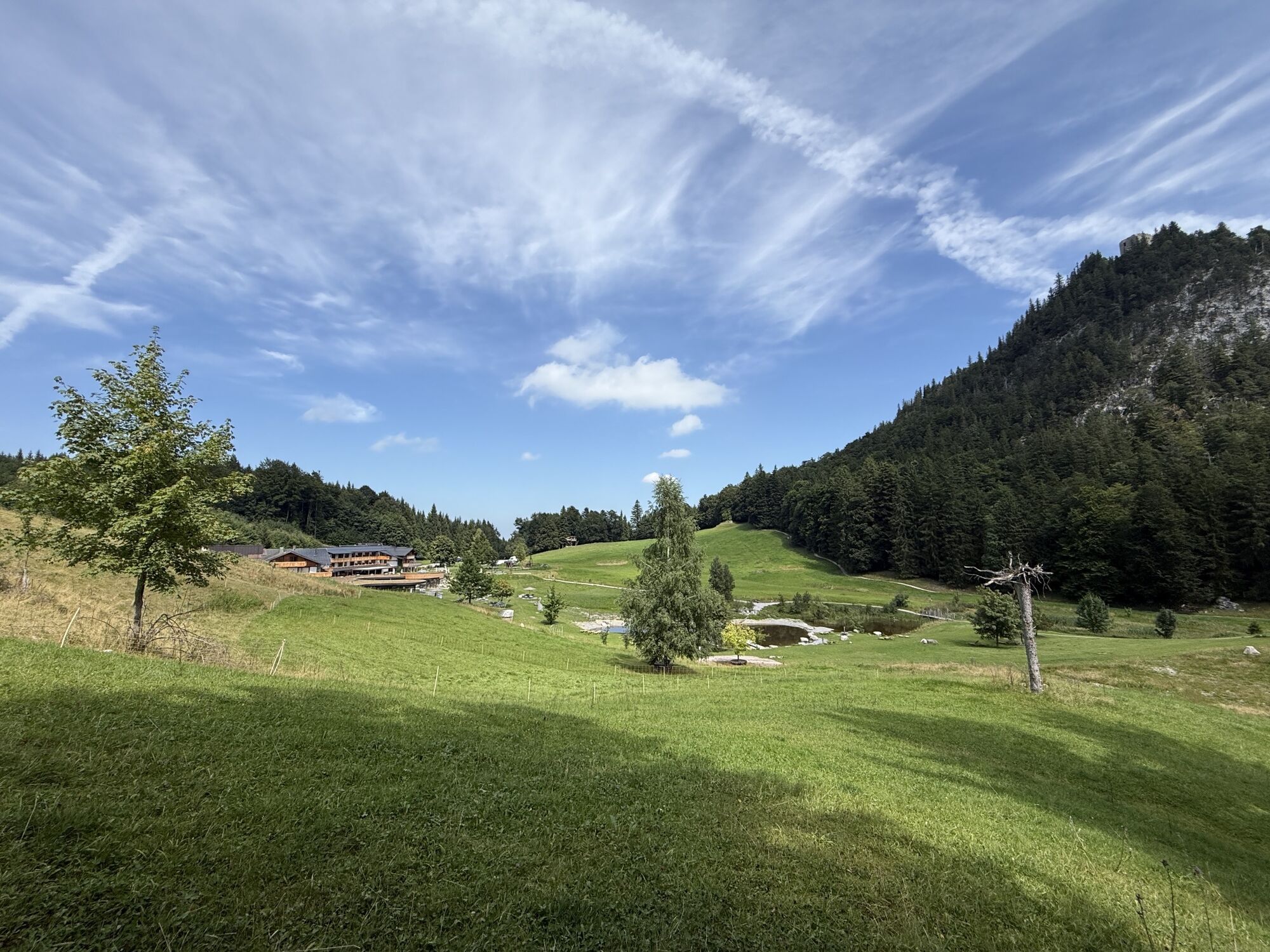
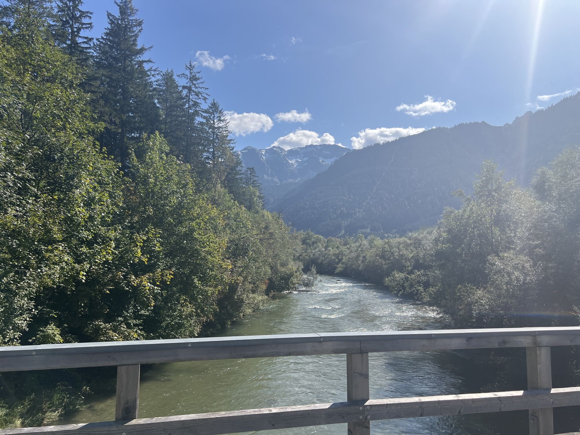
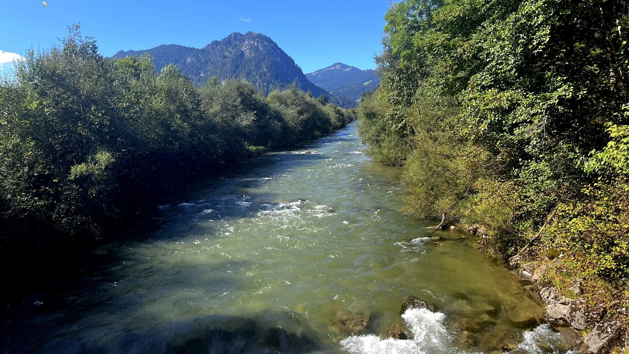
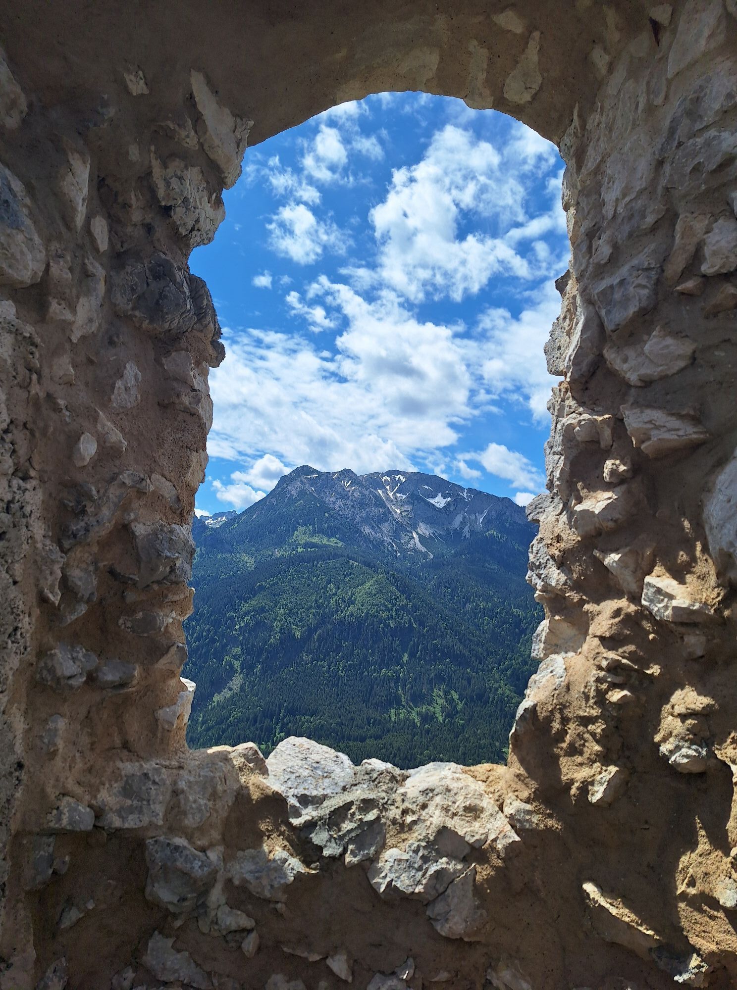
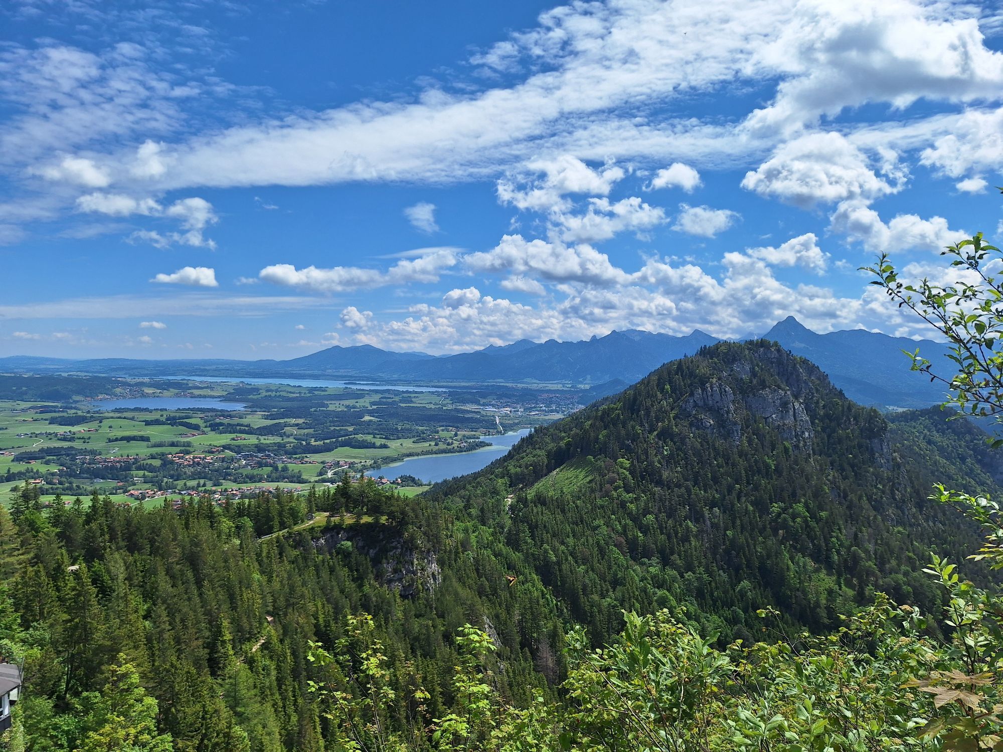
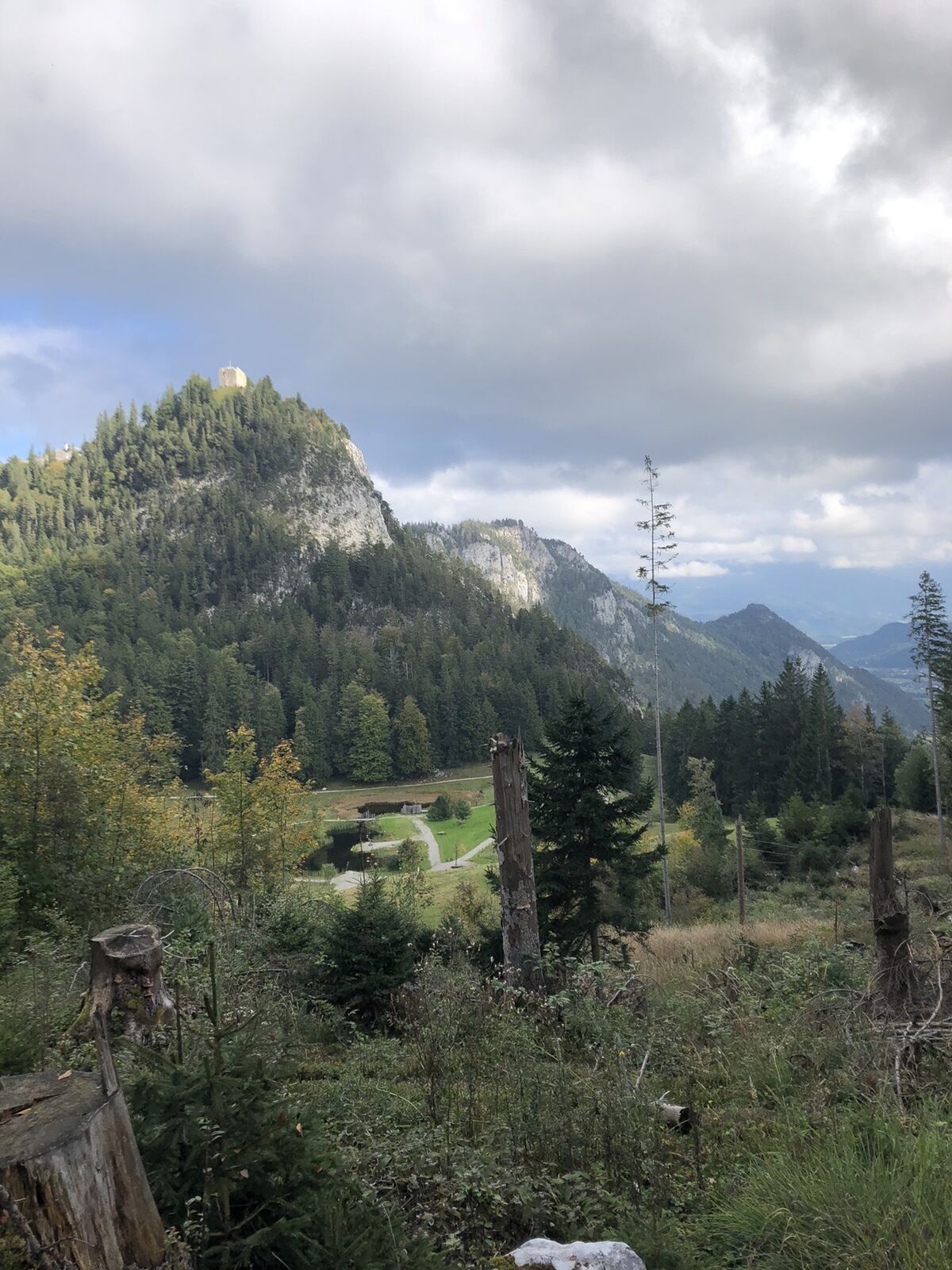
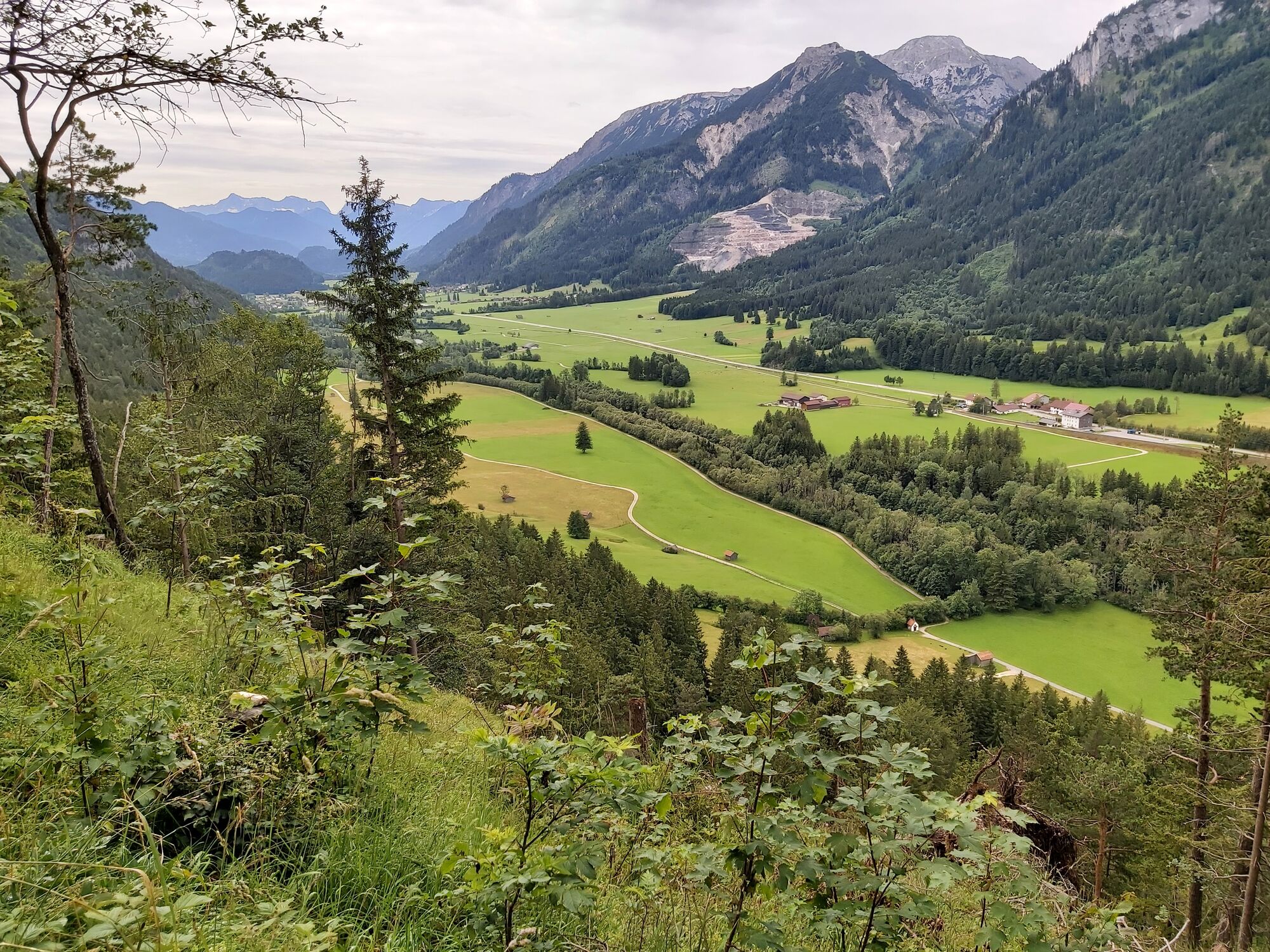
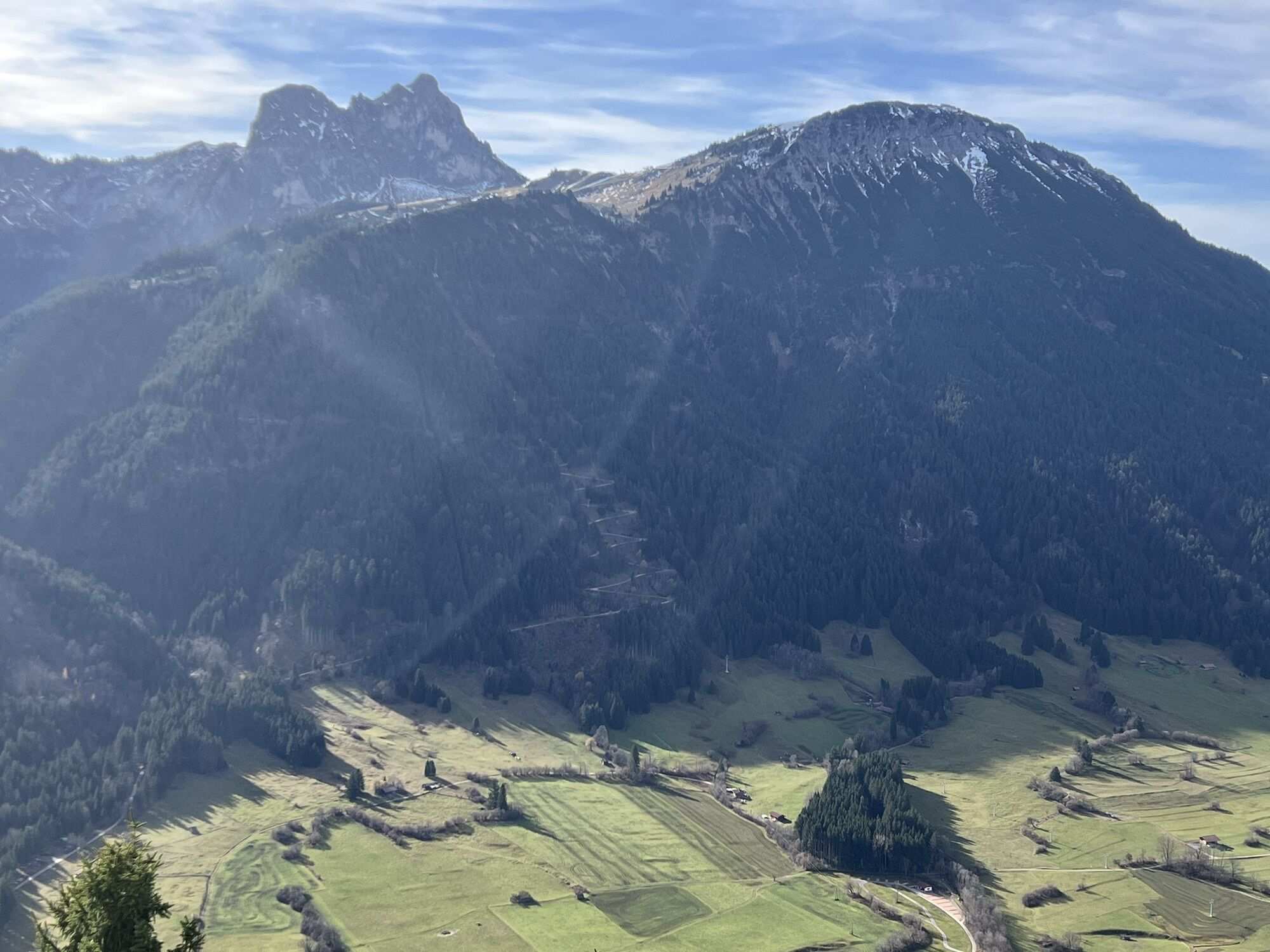
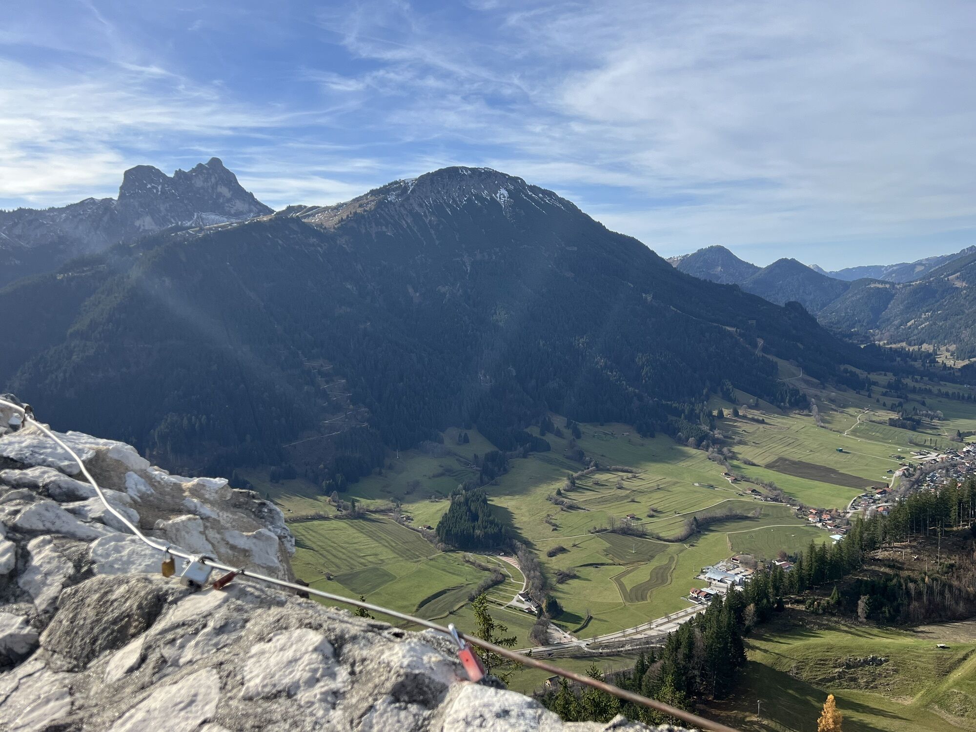
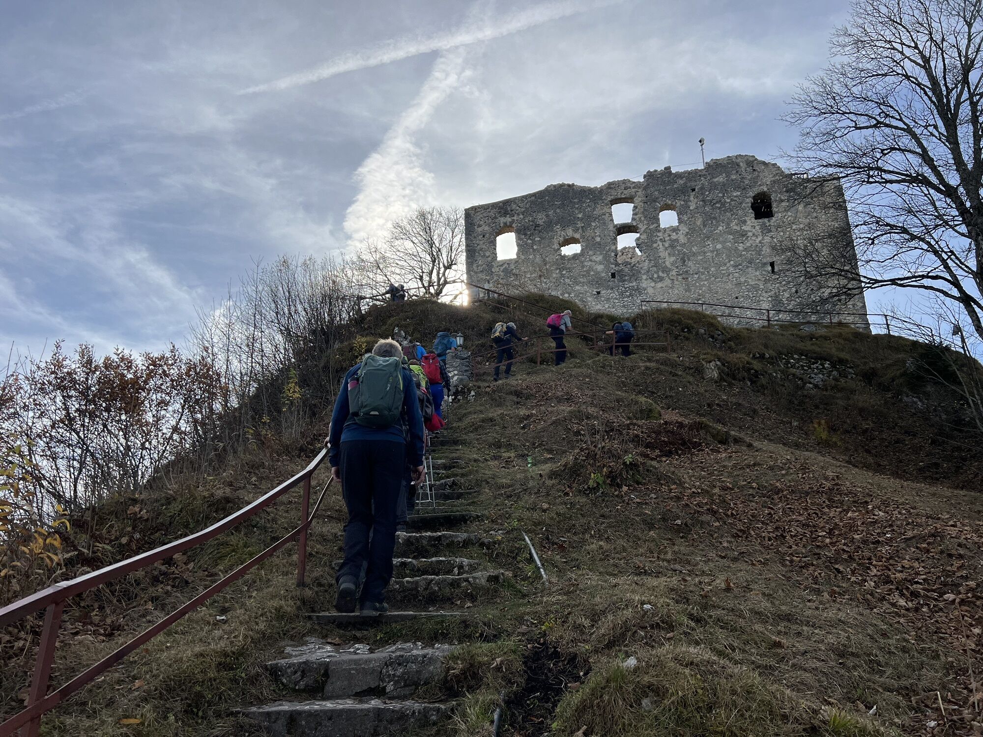
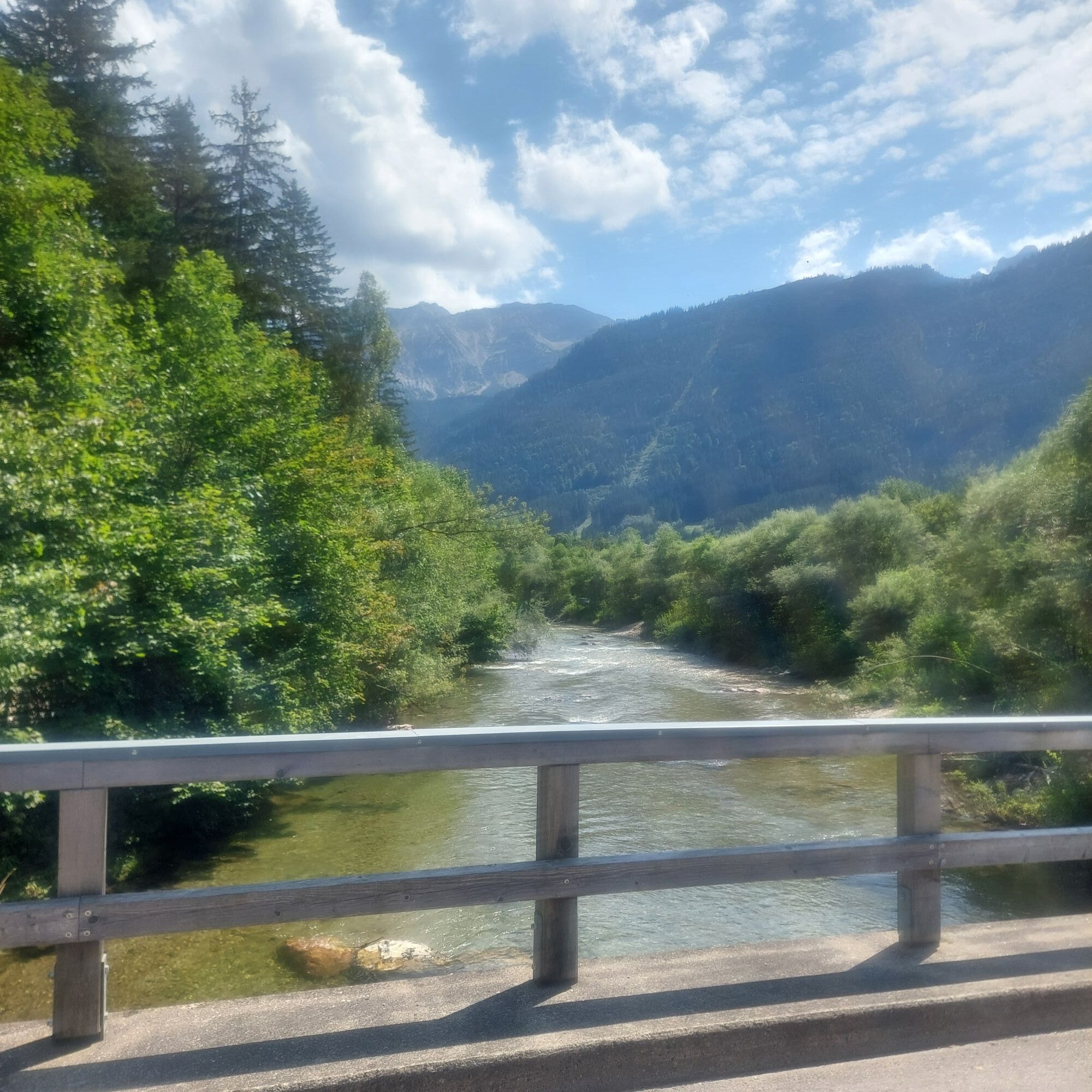
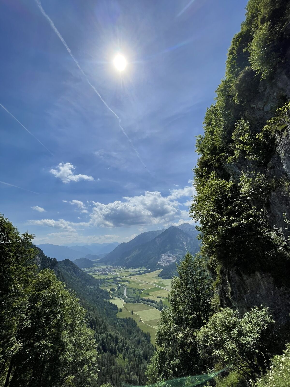
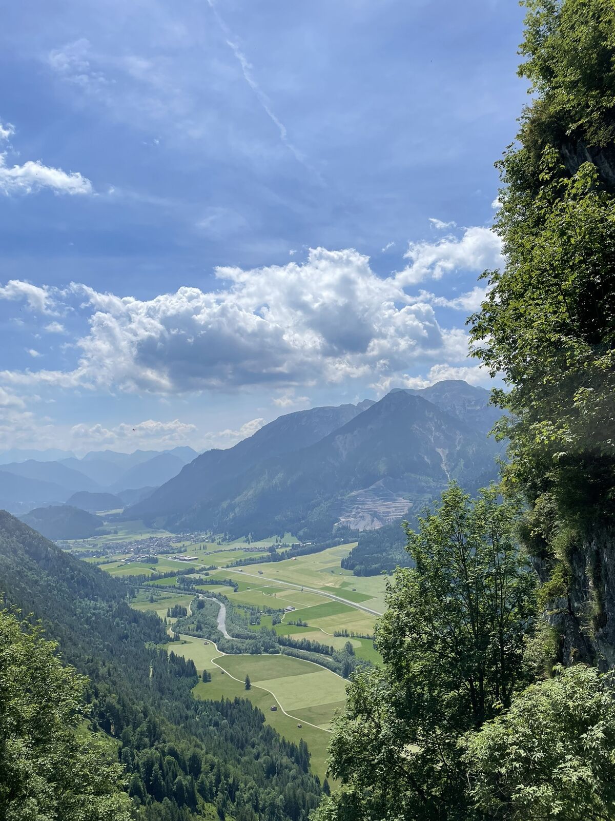
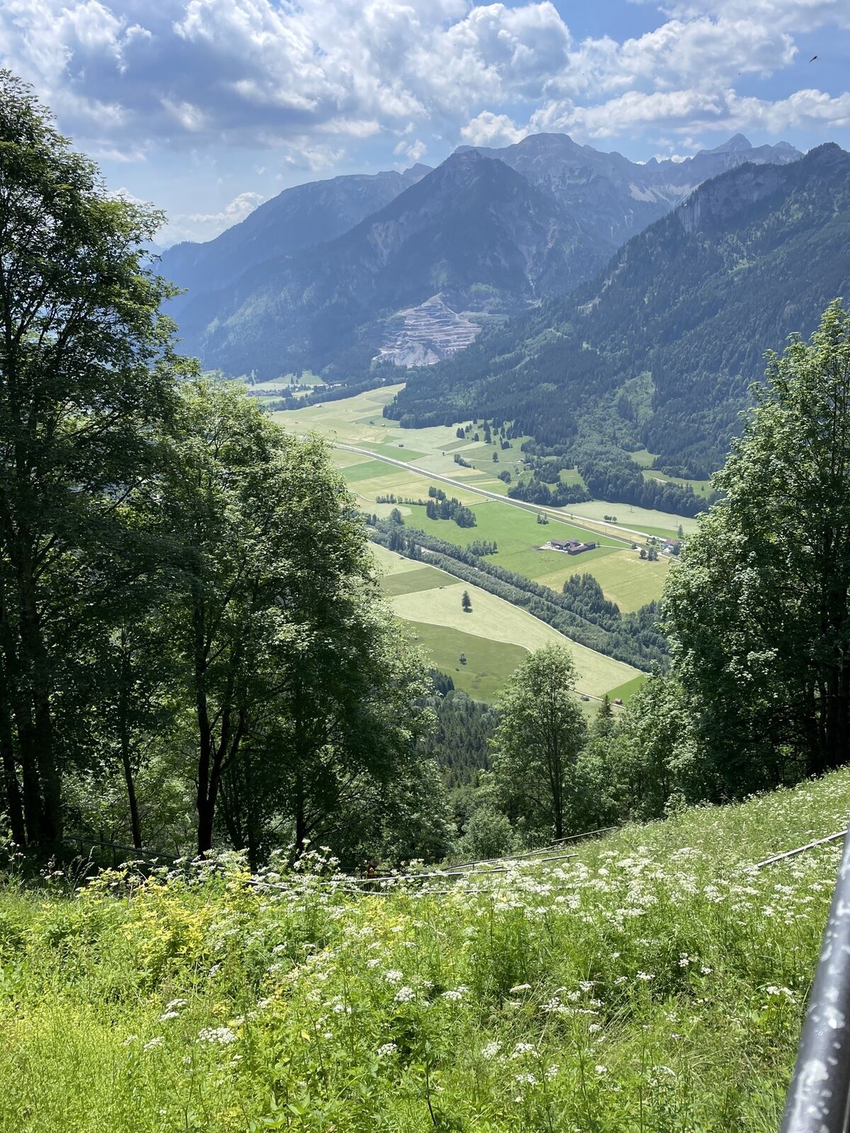
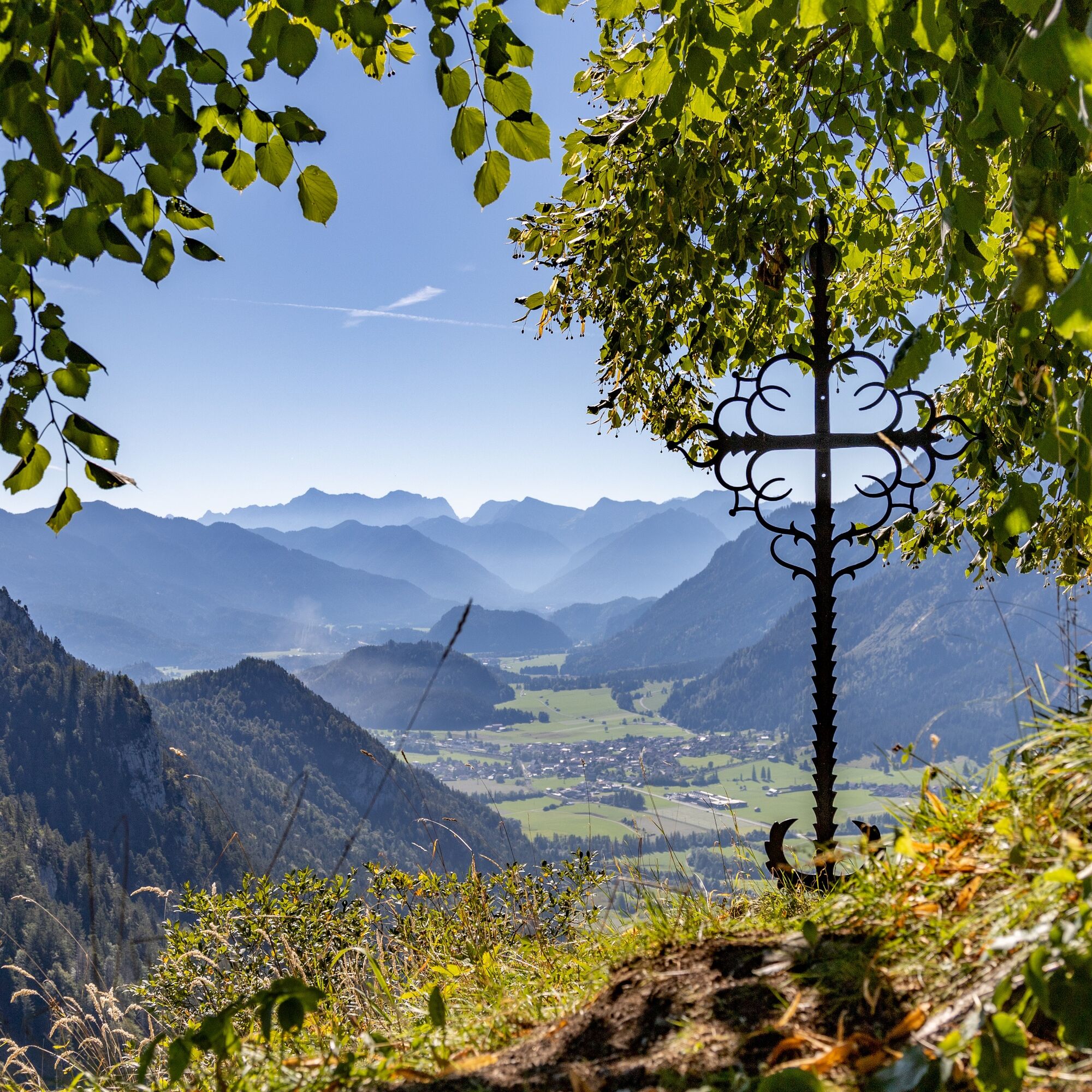
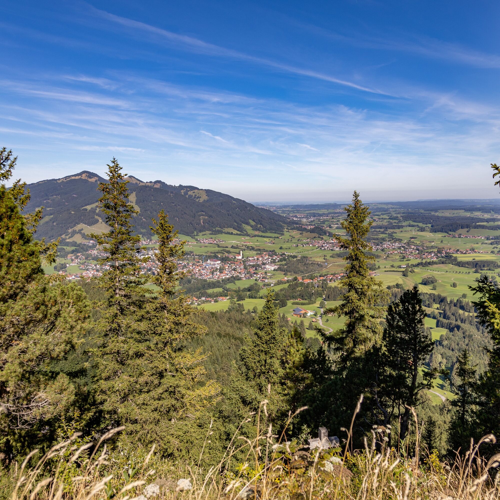
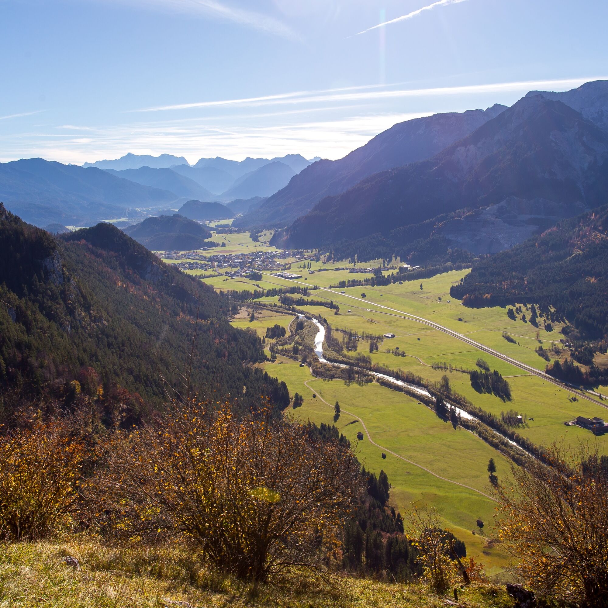
The scenic hike to the Falkenstein castle ruins at 1277m elevation is the ideal route for all panorama fans. Starting at the Breitenbergbahn parking lot, the first ascent leads past the Mariengrotte, impressively located in the middle of a rock crevice. Then continue to the Falkenstein castle ruins, which by the way is the highest ruin in all of Germany and crowns the peak of the Falkenstein like a crown. From up there you can enjoy a unique 360° panoramic view. On one side you look toward the Tyrolean and Allgäu Alps, while on the other side the entire pre-Alpine landscape lies at your feet. Discover numerous lakes nestled in the hilly pre-Alpine scenery. The descent leads down towards Schlossanger Alp, which lies paradisiacally on a high plateau above Pfronten. Then you continue via the Manzengrat back to the valley. Along the Vils you reach the starting point of your hike.

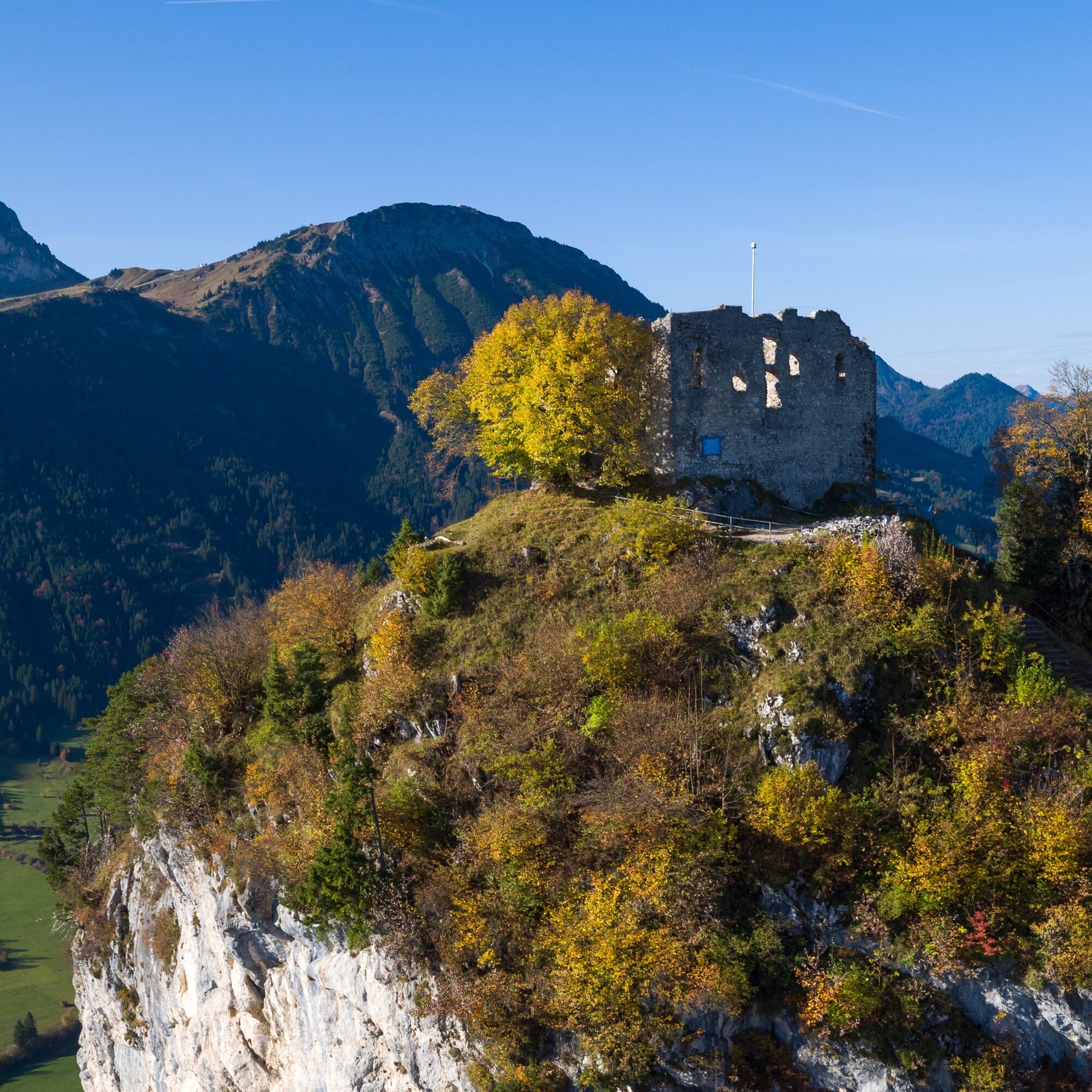
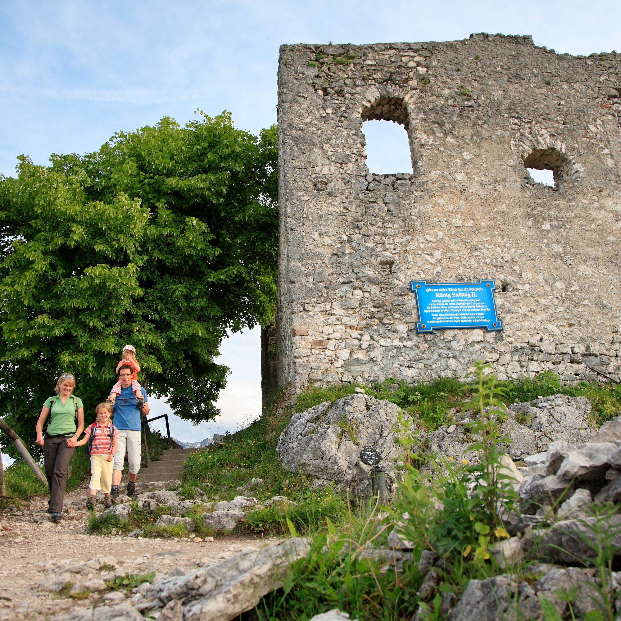
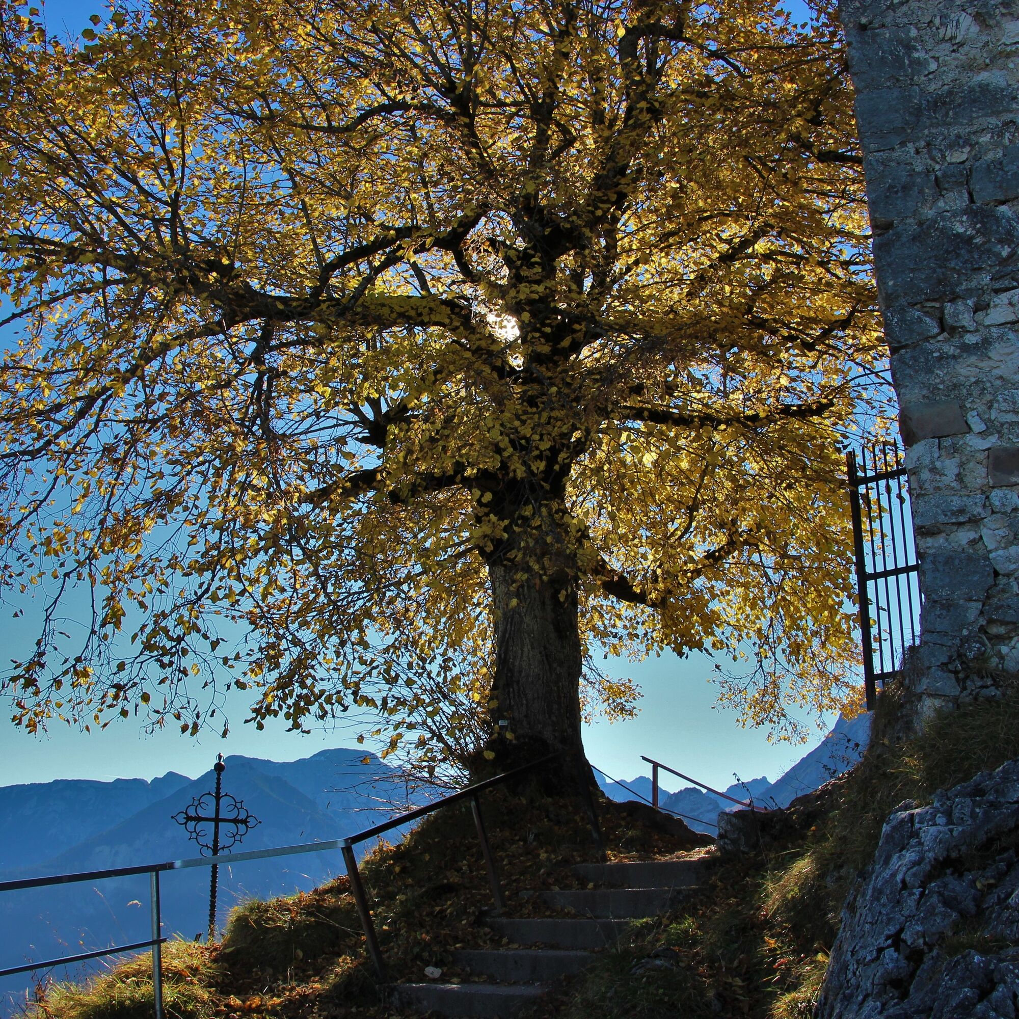
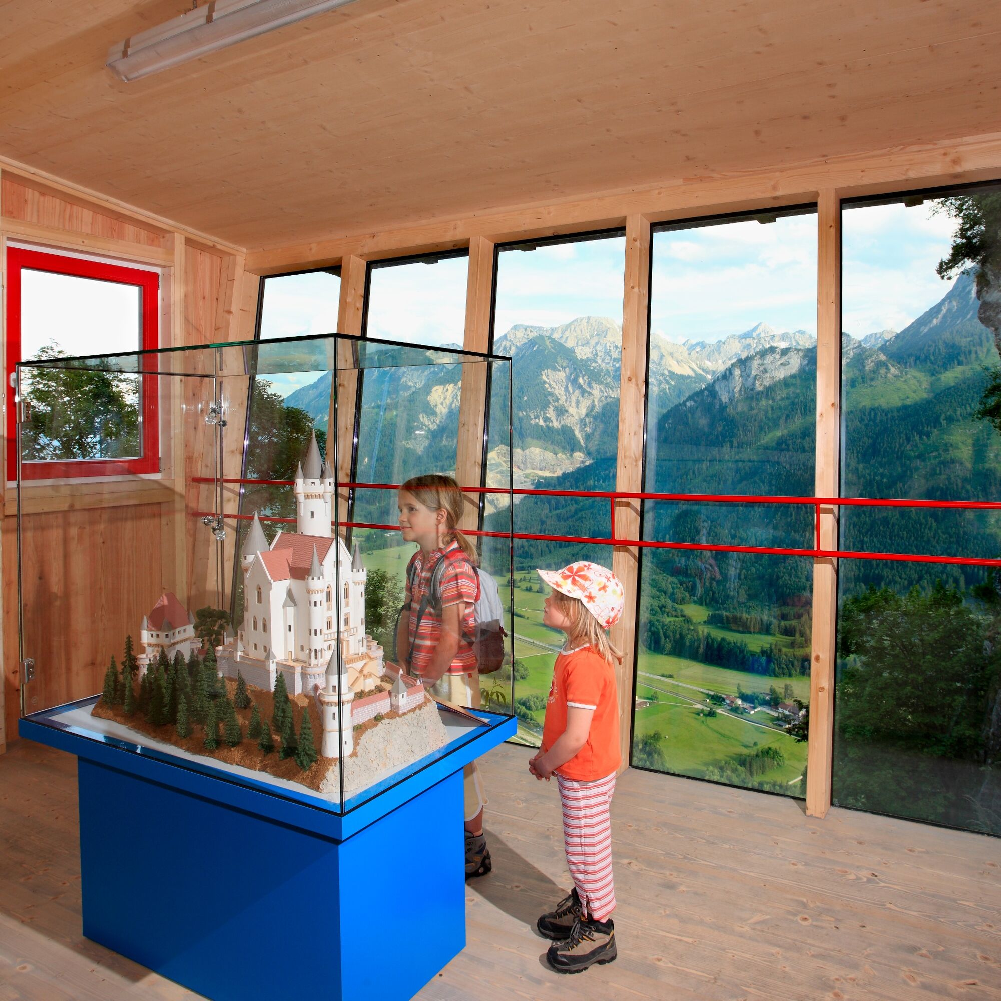
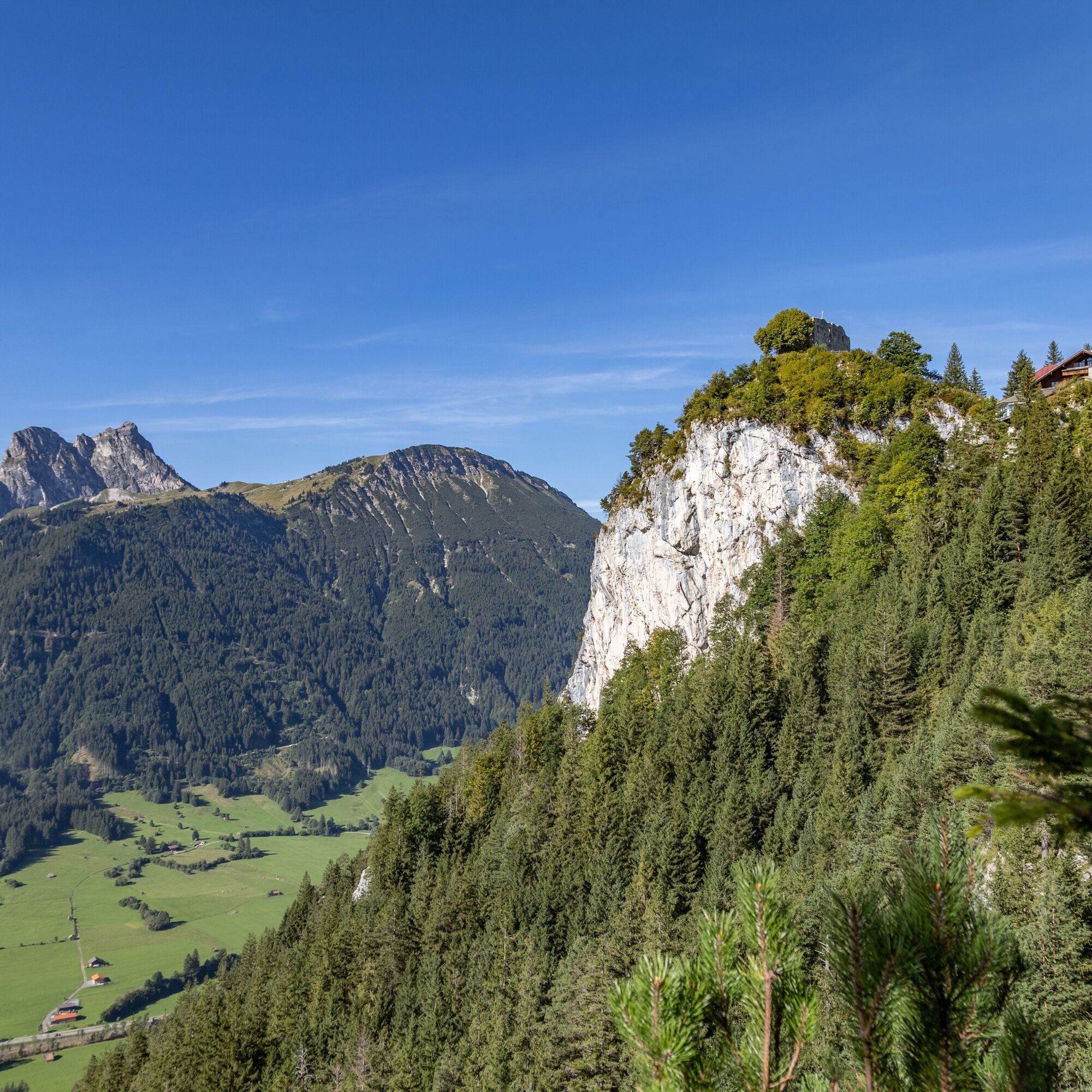
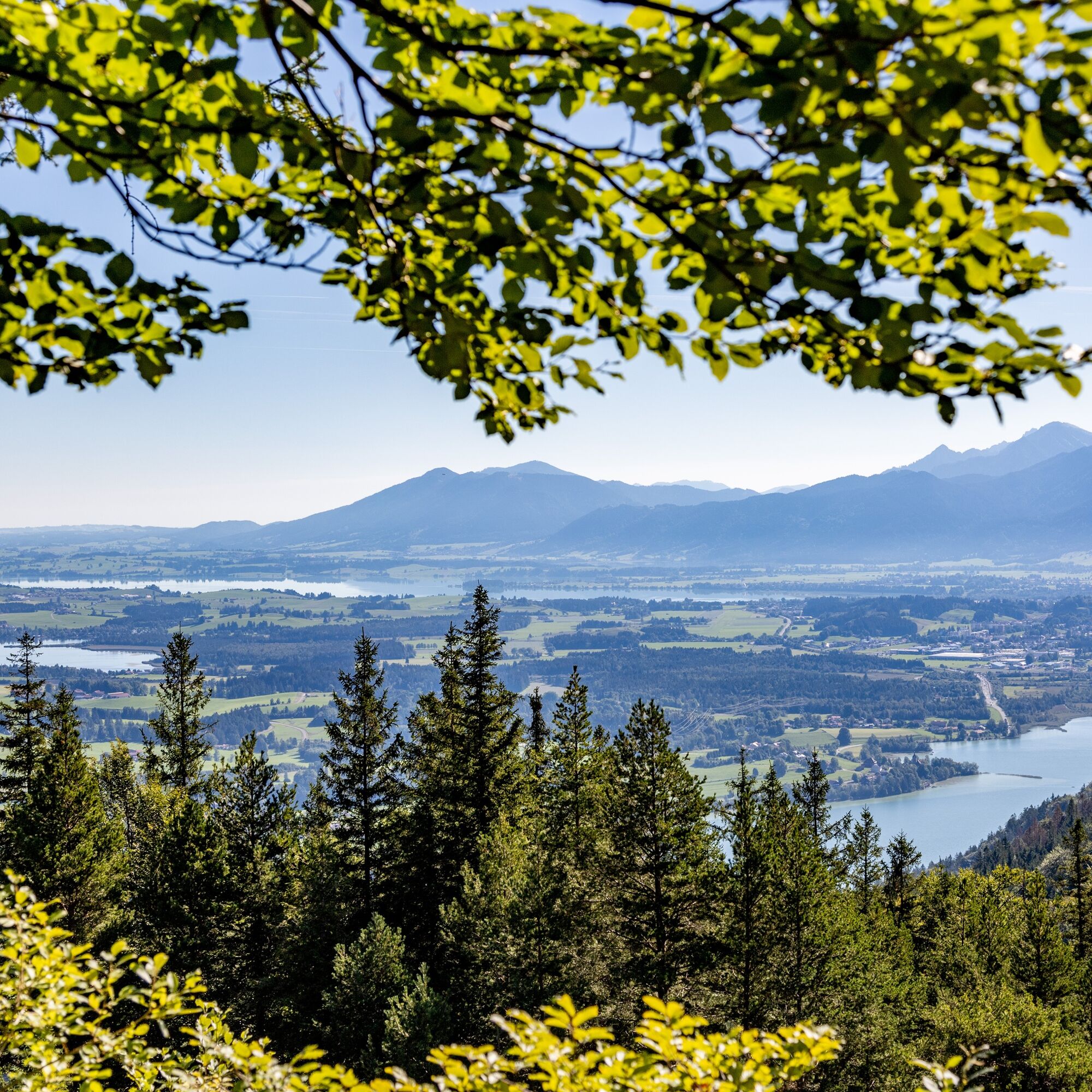
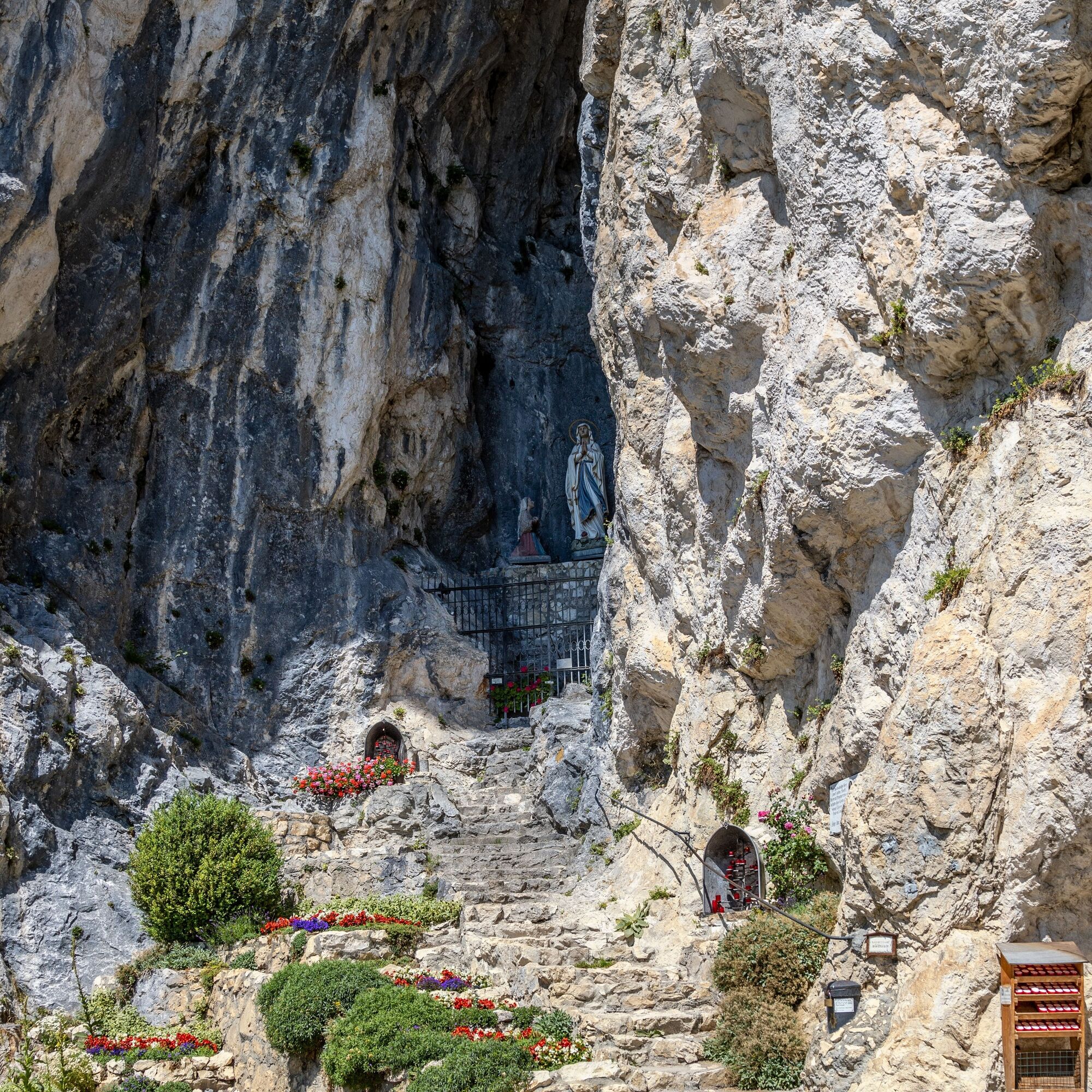

The route begins at the Breitenbergbahn in Pfronten-Steinach. The start of the route (south ascent) is approximately at the level of the dog training ground, near the Austrian border by the Vils. The path towards the Mariengrotte leads narrowly upwards. Upon reaching the Mariengrotte, stairs take you the rest of the way up to the castle ruins. The path down begins opposite the Burghotel Falkenstein towards Schlossanger Alp. The narrow path requires surefootedness in some sections and passes through wooded areas. The descent back to the Breitenbergbahn then takes place via the Manzengratweg.
Sturdy footwear, a backpack with provisions, and a rain jacket or sun protection depending on the weather are recommended.
Pay attention to signage! Surefootedness is required on some sections of the hike.
Via the B309 towards Vils (AT).
Pfronten train line, public bus transport to Pfronten-Steinach station (directly opposite the Breitenbergbahn).
Valley station Breitenbergbahn in Pfronten-Steinach (south side ascent).
T2
A detour to the castle ruins is worthwhile on Falkenstein. From there, you can enjoy a great view of the Pfronten valley.
 Získejte přehled
Vždy živě na místě s více než 9 500 webkamerami. bergfex Jako uživatel Pro si nyní můžete zobrazit odpovídající webové kamery pro mnoho prohlídek v aplikaci prohlídky z. Můžete si tak přímo prohlédnout aktuální podmínky.
Získejte přehled
Vždy živě na místě s více než 9 500 webkamerami. bergfex Jako uživatel Pro si nyní můžete zobrazit odpovídající webové kamery pro mnoho prohlídek v aplikaci prohlídky z. Můžete si tak přímo prohlédnout aktuální podmínky.


Oblíbené prohlídky v okolí
-
4.8
Around Weißensee
světloTuristika 6.12 km -
5.0
Hiking tour to Breitenberg
heavyTuristika 15.6 km -
4.1
Drehhütte
světloTuristika 3.34 km -
4.7
Yellow Wall Trail, Tegelberg (A)
středníVia ferrata 3.65 km -
4.5
Circular hike Dreh- and Rohrkopfhütte
světloTuristika 8.76 km -
4.9
Tegelberg | Branderschrofen | Neuschwanstein
středníTuristika 14.8 km -
5.0
Gemeinde Grän, Tirol/Österreich Aggenstein Rundtour über Höhenweg
středníTuristika 9.84 km -
4.8
Tannheim / Vilsalpsee / Landsberger Hütte
středníTuristika 15.7 km -
4.2
Cultural trail Schutzengelweg
středníTuristika 5.13 km -
4.7
3-Gipfel-Tour
středníTuristika 11.2 km
Pěší turistika a stopování


Nenechte si ujít nabídky a inspiraci pro vaši příští dovolenou
Vaše e-mailová adresa byl přidán do poštovního seznamu.





