







Hiking - "Green Belt Thuringia" - Stage 3
On the third major stage on the Green Belt between the former GDR and West Germany, you will roam the forests and floodplains on the northern edge of the Rodachtal.
You start in the heart of the northern...
On the third major stage on the Green Belt between the former GDR and West Germany, you will roam the forests and floodplains on the northern edge of the Rodachtal.
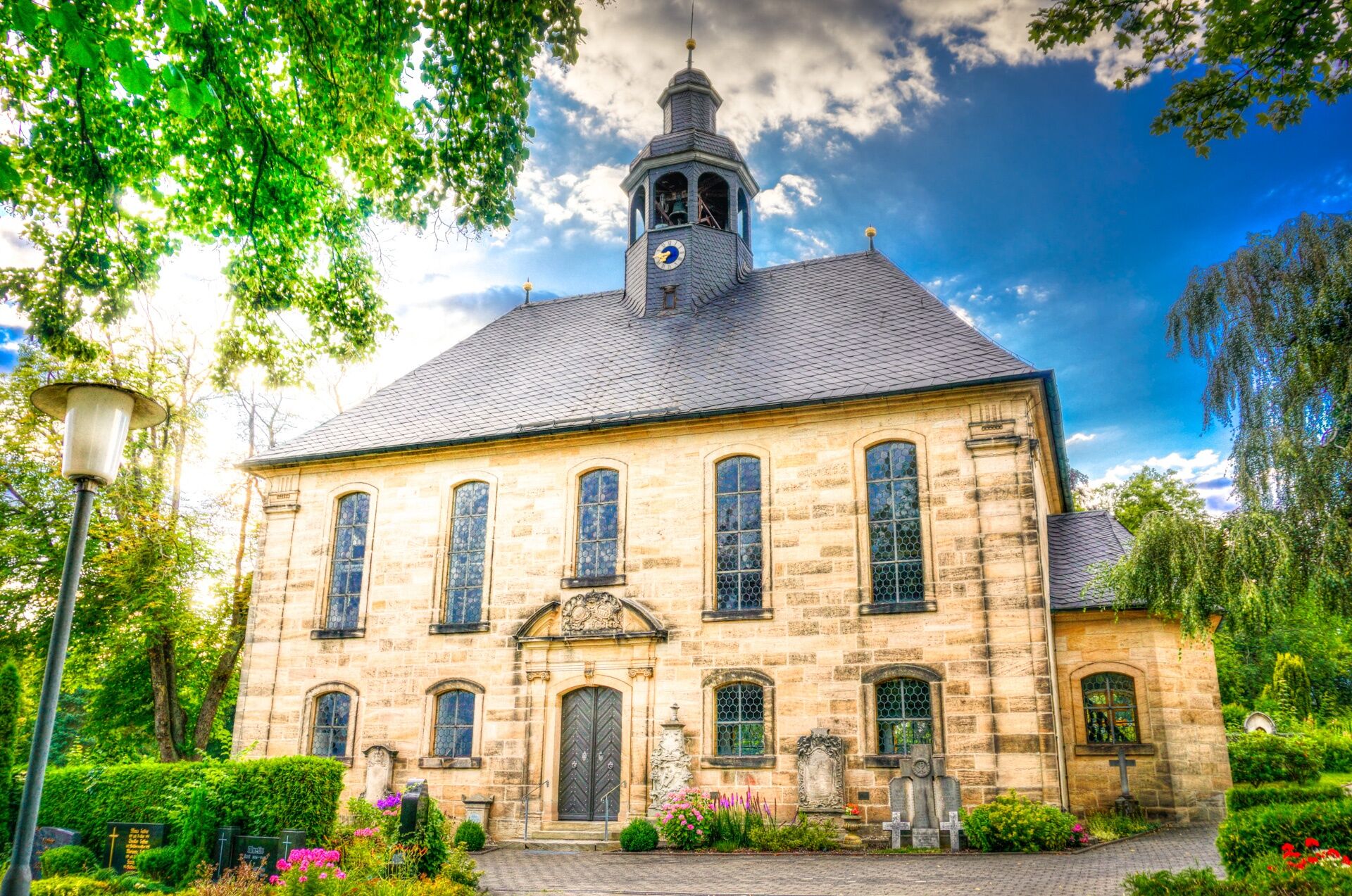
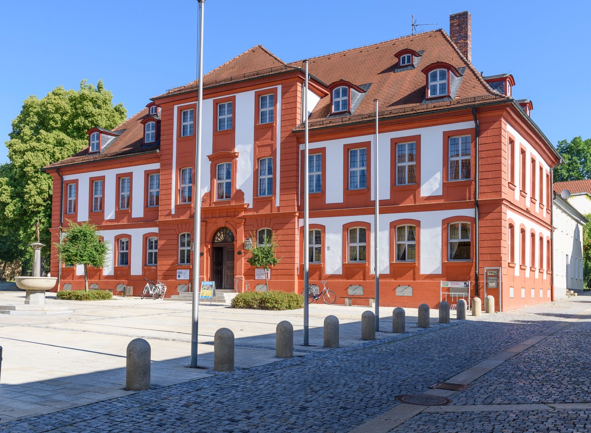
You start in the heart of the northern Franconian small town Neustadt bei Coburg. The marketplace is a real gem between the magnificent St. Georg's Church and the modern town hall. There is lively activity here especially during the summer months. You leave the town on Sonneberger Straße and follow the small river Röden northwards past the district Wildenheid and the family forest. Soon after you reach the state border again and follow the old Kolonnenweg opposite the protected Meilschnitz meadows uphill to the forest edge. After a strenuous climb, you reach the General's Viewpoint. From here you have a fantastic view down onto Upper Franconia.
The route continues past the Kuhlmann's Fountain always along the forest clearing on the former border route past Korberroth further on to Rückerswind on the Thuringian side. Here the Gaststätte Georgy invites you to take a break. Those who like can also enjoy the quiet of the small village by the pond.
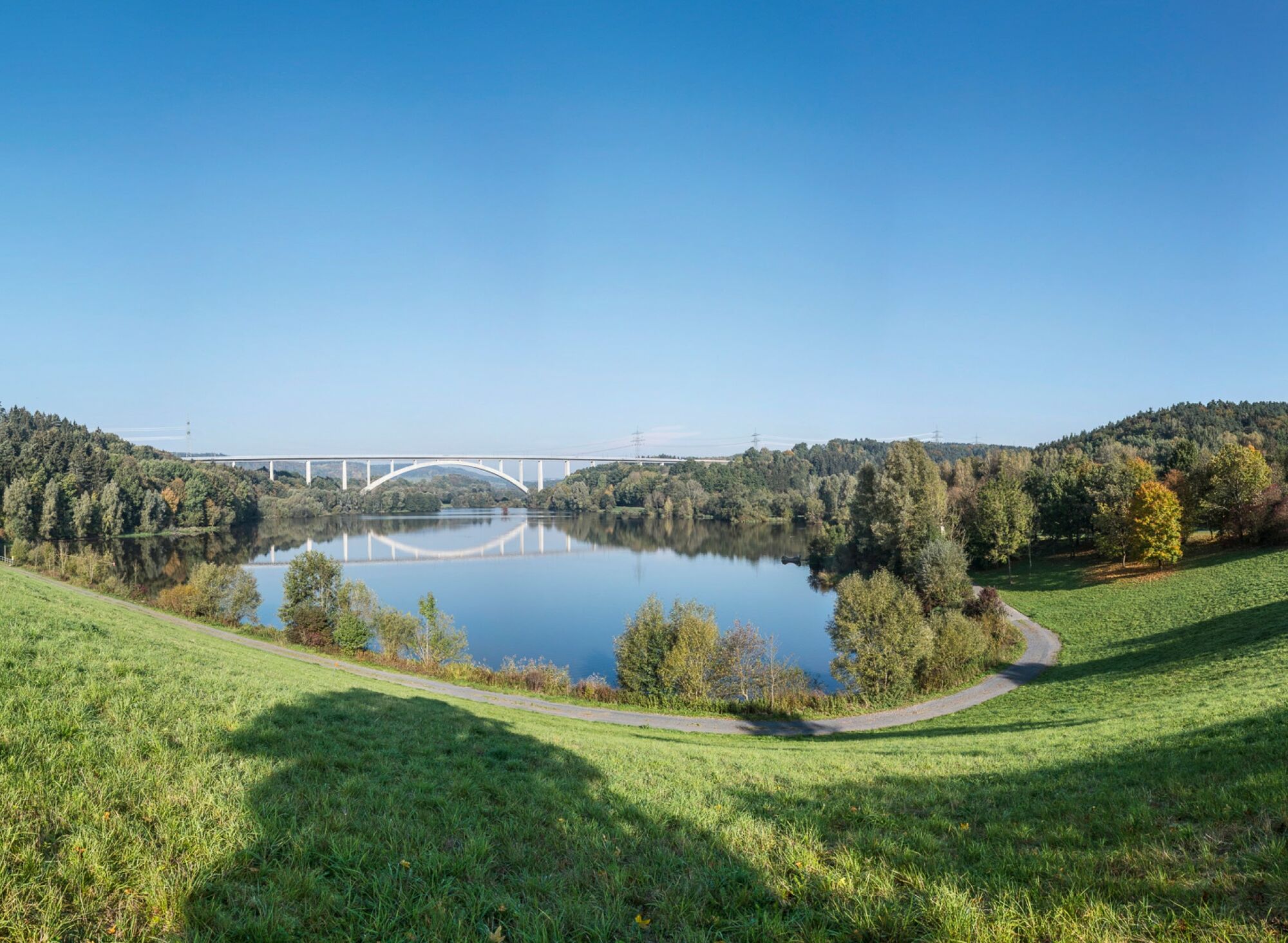
Soon after you reach the Froschgrundsee. The reservoir, created for flood protection, is a special feature in the border area. Although it is basically located on the Bavarian side, it stretches into Thuringia when the water is dammed. It was thus one of the few shared inland waters between the FRG and the GDR.
The new valley bridge of the ICE high-speed line over the Froschgrund is hard to miss. With a span of 270 m, it is the longest railway arch bridge in Germany.
At Froschgrundsee there is a pretty small restaurant directly at the dam. Especially the local specialties from their own barbecue smoker are worth a visit.
Under the monumental railway structure you soon reach the small village "Weißenbrun vorm Wald" and meet the Kolonnenweg of the Green Belt again at Emstadt. Past Görsdorf you soon reach the former border crossing point Eisfeld-Rottenbach. Today there is a motorway service area at the Eisfeld South junction.
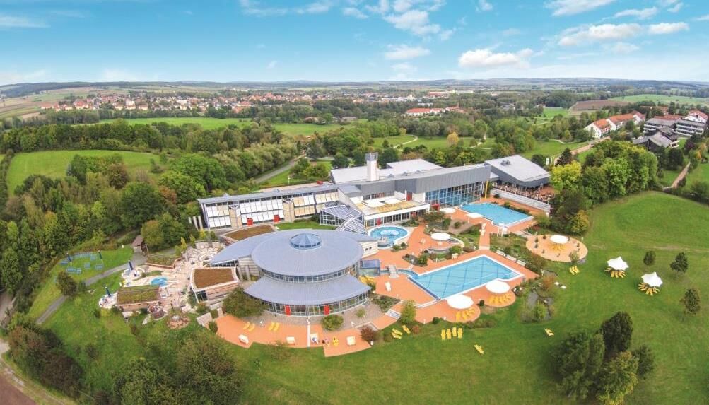
From the Thuringian Forest viewpoint, in good weather, you can see over Eisfeld to the Schneekopf, the highest point in the Thuringian Forest. Past Bockstadt and Harras you reach the wide plain of the Rodachtal. Continuing along the Kolonnenweg, you leave the Green Belt at Massenhausen and finish the stage in the spa town Bad Rodach. Those who stay overnight here can spend the evening in a relaxed way in the spa park or the spa .


Neustadt bei Coburg - Wildenheid - Rückerswind - Froschgrundsee - Weißenbrunn vorm Wald - Emstadt - Görsdorf - Herbartswind - Hetschbach - Massenhausen - Lempertshausen - Bad Rodach
Sturdy footwear
Rainwear
First aid kit
Drink supply
GPS navigation device or smartphone
The route partly runs on busy roads. The Kolonnenweg often runs for long stretches outside of towns; especially in summer always carry a drink supply with you.
Coming from the A73 take exit 8 (Neustadt bei Coburg) and continue on the B4 towards Neustadt bei Coburg. At Haarbrücken take Coburger Straße and follow it until the town center. Turn onto Bahnhofstraße in the town center.
You can conveniently reach Neustadt bei Coburg by trains of Deutsche Bahn. Simply use the following link for travel planning and add your desired travel period and starting point:
→ Arrival at Neustadt bei Coburg
Return from Bad Rodach to Neustadt bei Coburg
A direct return train connection from Bad Rodach can be retrieved here. The connection data applies to the current time. You can change the travel period afterwards:
Bad Rodach → Neustadt bei Coburg
You can find parking spaces in the town center at Arnoldplatz (Google NAV point) or directly at the train station (Google NAV point)
Around the moors between Görsdorf and Rottenbach, numerous and rare animal and plant species can be discovered in the natural green strip of the former border.
Získejte přehled
Vždy živě na místě s více než 9 500 webkamerami. bergfex Jako uživatel Pro si nyní můžete zobrazit odpovídající webové kamery pro mnoho prohlídek v aplikaci prohlídky z. Můžete si tak přímo prohlédnout aktuální podmínky.
Oblíbené prohlídky v okolí
-
5.0
Circular hiking route - TOP 1 - Werra Source - Masserberg - Thuringian Forest
středníTuristika 5.94 km -
Circular route - TOP 3 - hike with a view - Masserberg - Thuringian Forest
středníTuristika 17.3 km -
4.0
Circular hiking trail - TOP 2 - Masserberg - "Cultural Experience" - Friedrichshöhe - Thuringian Forest
středníTuristika 15.2 km -
Circular hike - Around the pumped-storage power plant - Goldisthal
středníTuristika 19.5 km -
Teufelskanzel-Saulochklamm-Einberg
středníTuristika 7.73 km -
Terrain therapy trail Masserberg - TKW 4 Sommerberg/Dreiherrenstein - Thuringian Forest
středníTuristika 7.28 km -
Nature Park Trail - Griffel Path in the Thuringian Forest
heavyTematická stezka 6.45 km -
Terrain spa path Masserberg - TKW 7 - Werra spring, Dreiherrnstein - Thuringian Forest
středníTuristika 8.67 km -
Circular Hike - "Schaumberger Land Panorama Trail" - Eisfeld - Thuringian Forest
heavyTuristika 74.2 km -
Long-distance hiking trail - Panoramaweg Schwarzatal - Thuringian Forest
heavydálková pěší trasa 137.0 km
Pěší turistika a stopování


Nenechte si ujít nabídky a inspiraci pro vaši příští dovolenou
Vaše e-mailová adresa byl přidán do poštovního seznamu.





