





Nature trail Ahornreitweg (mountain tour)
Úroveň obtížnosti: T1
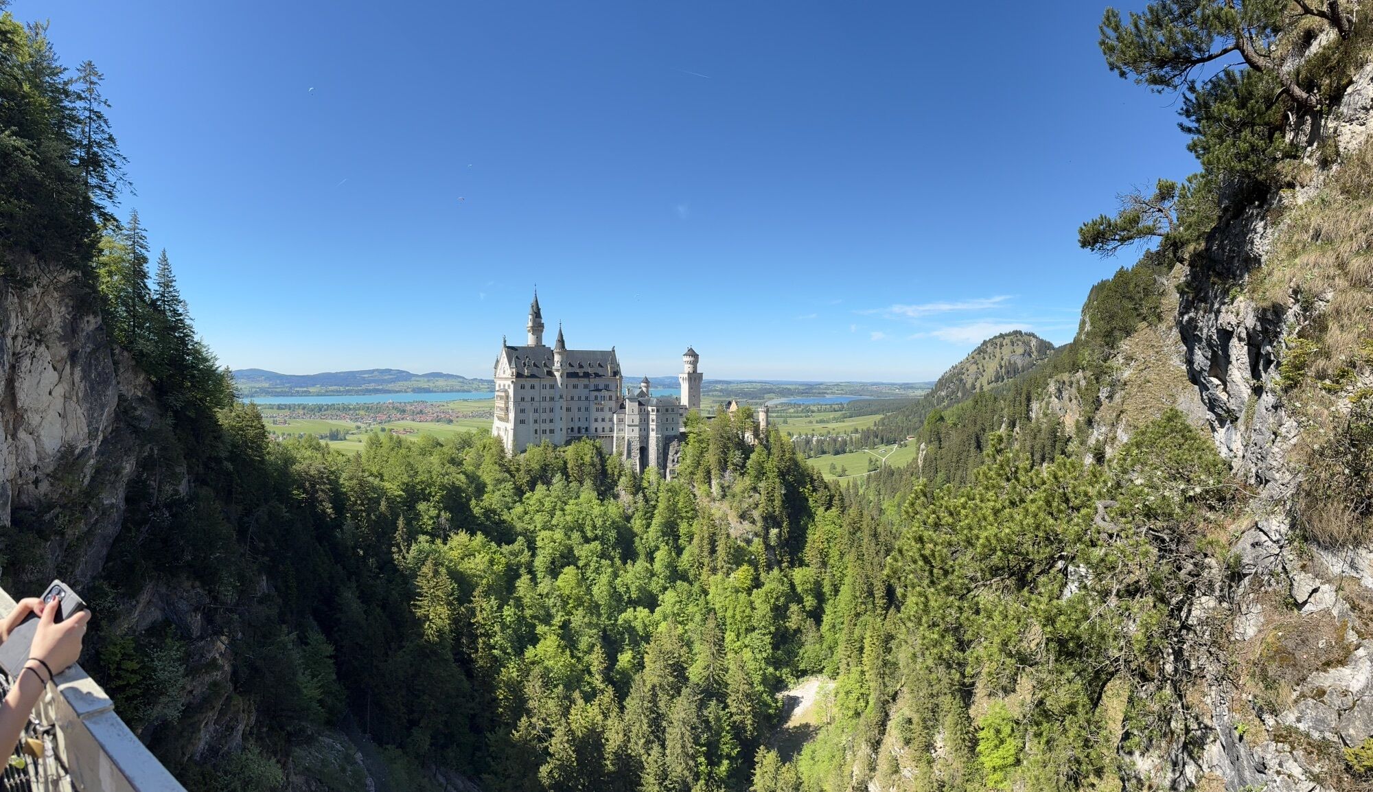
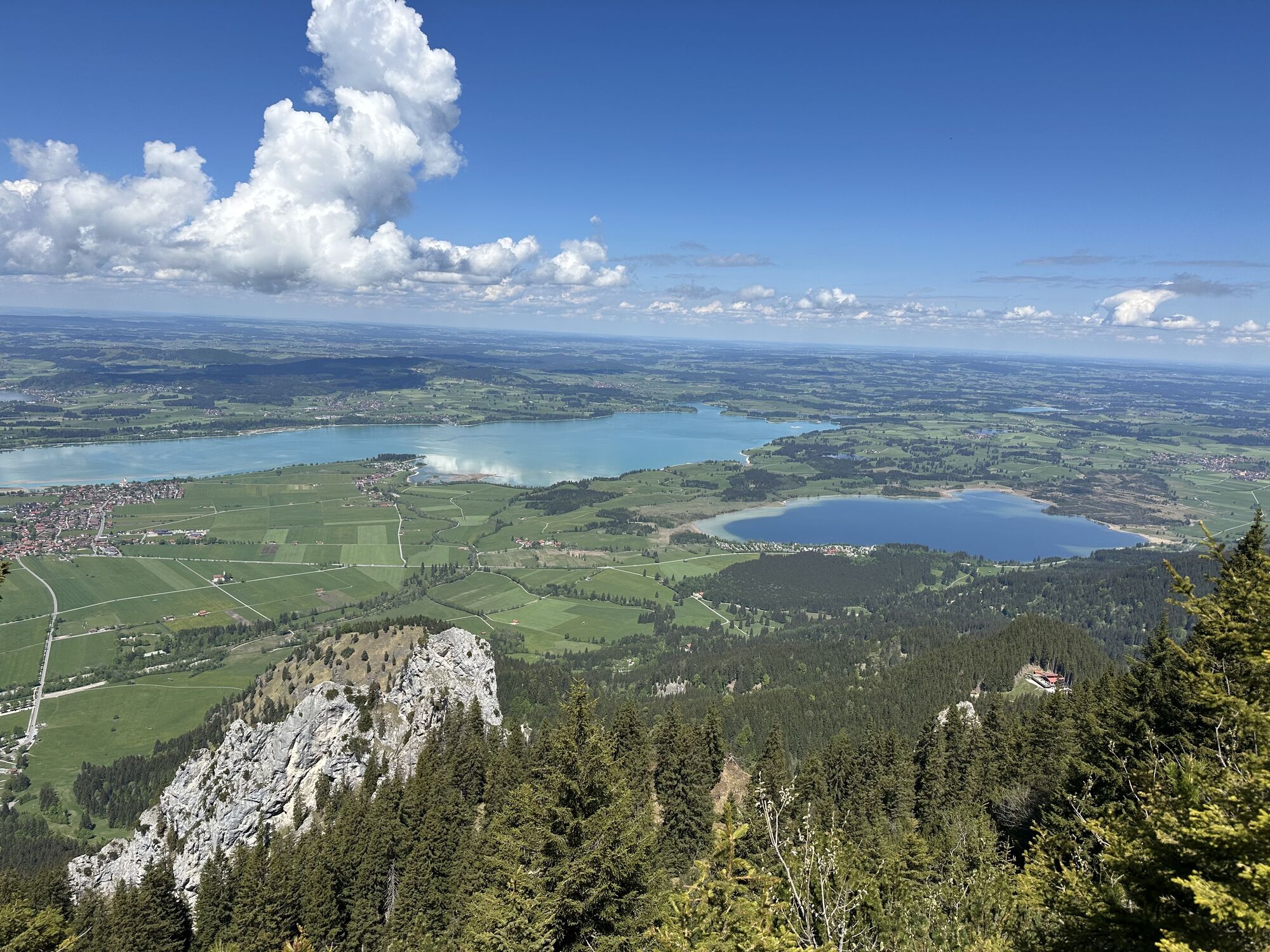
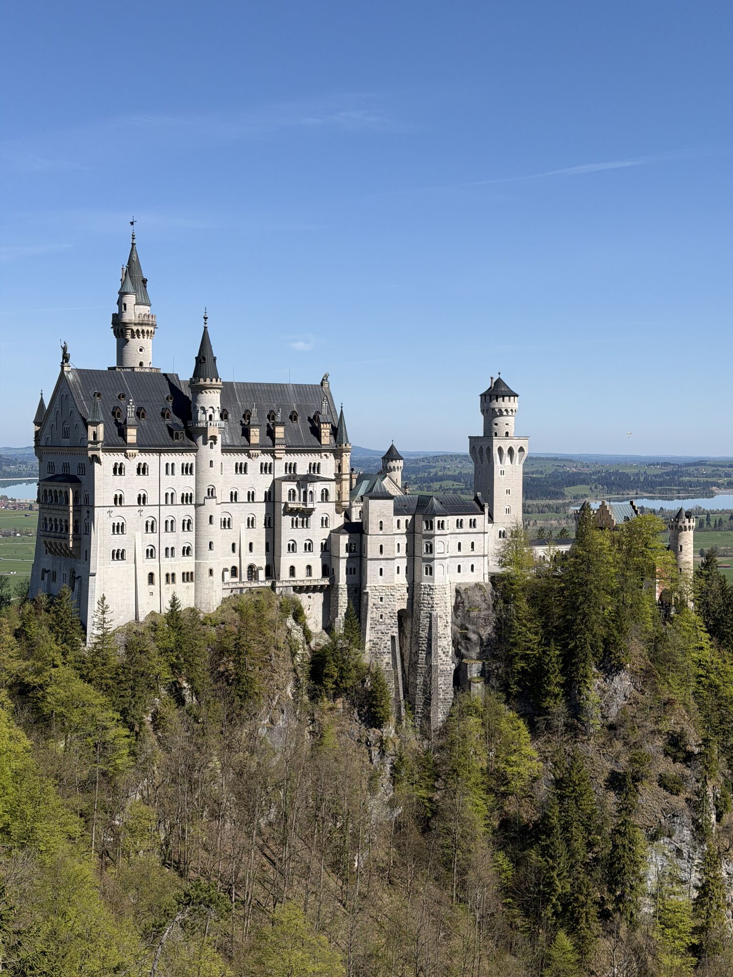
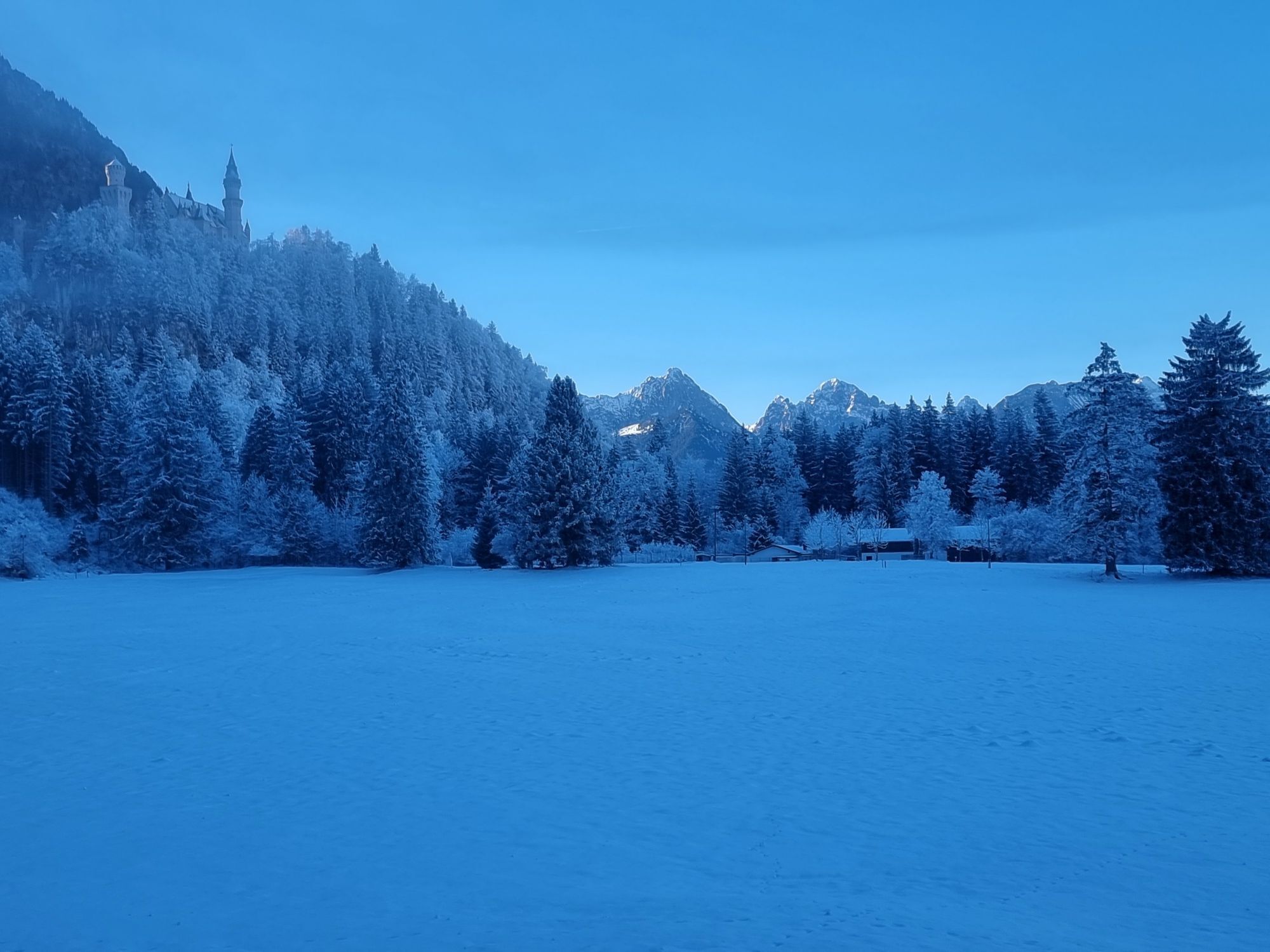
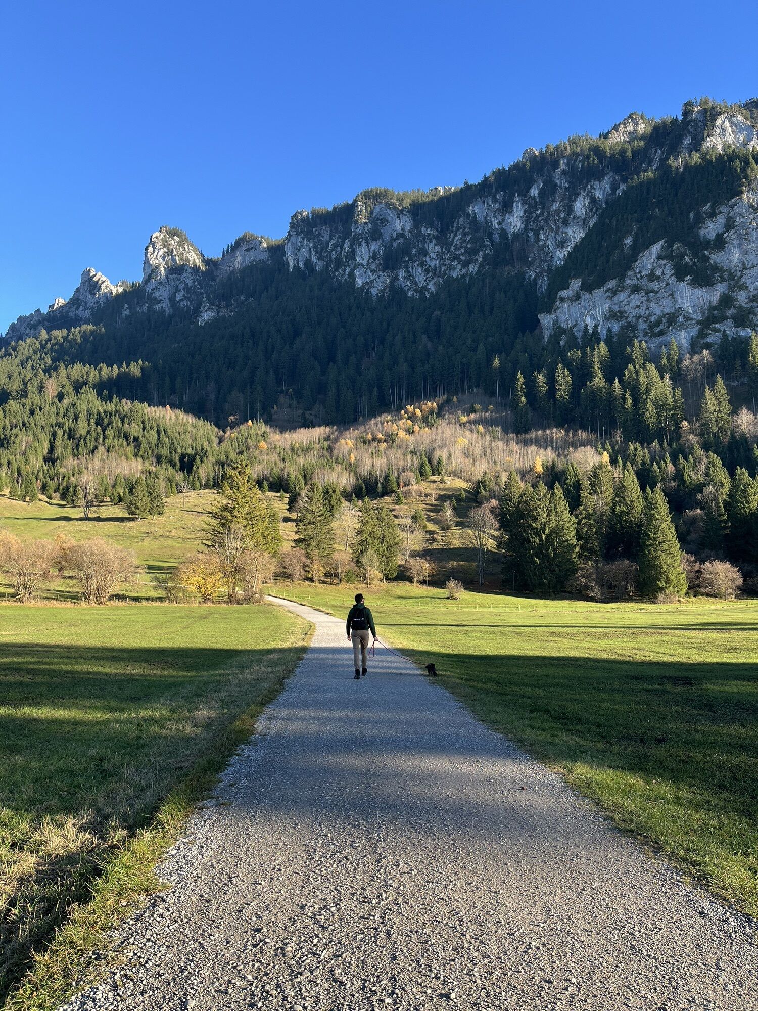
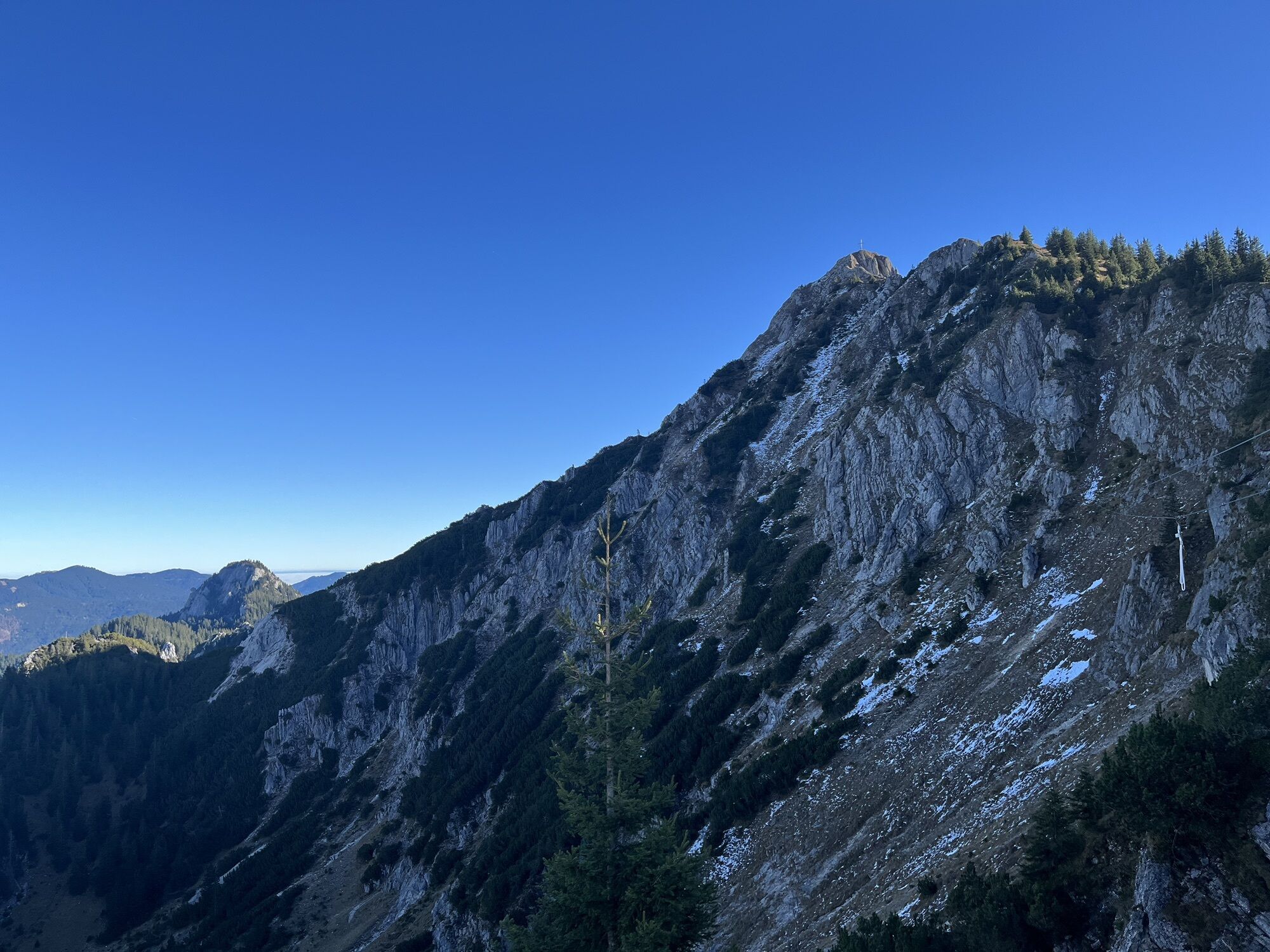
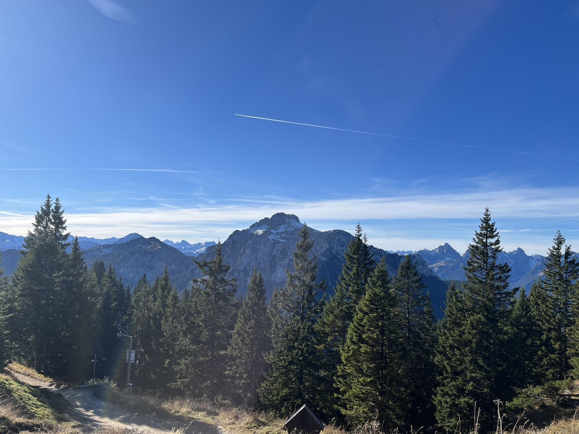

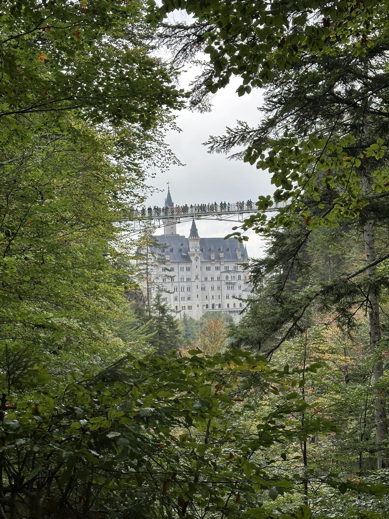
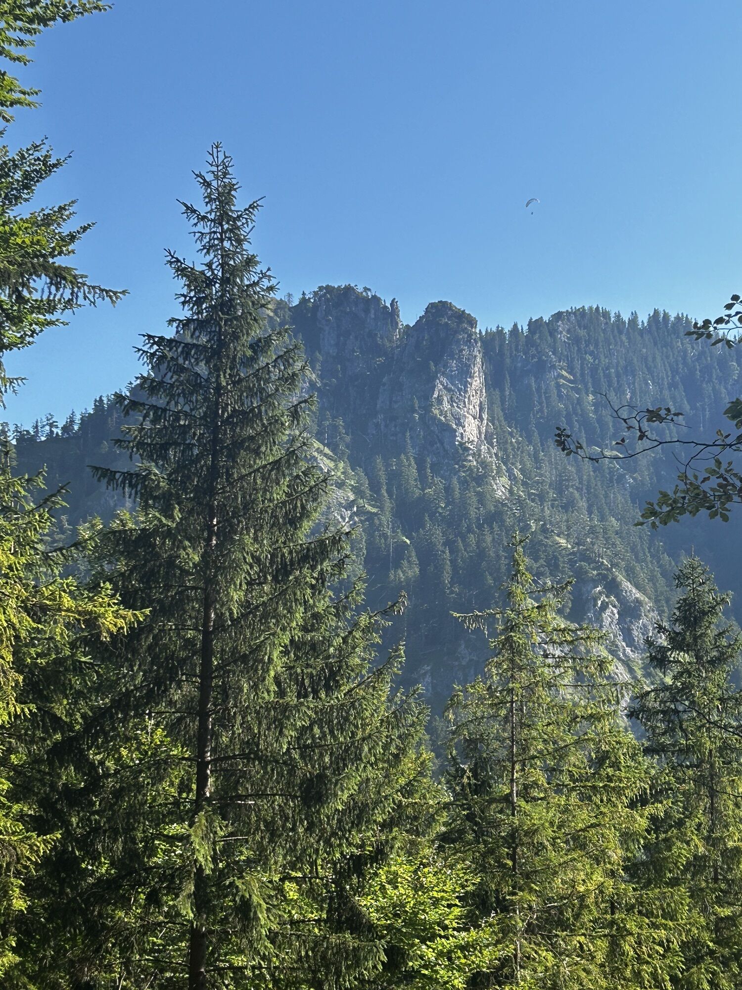
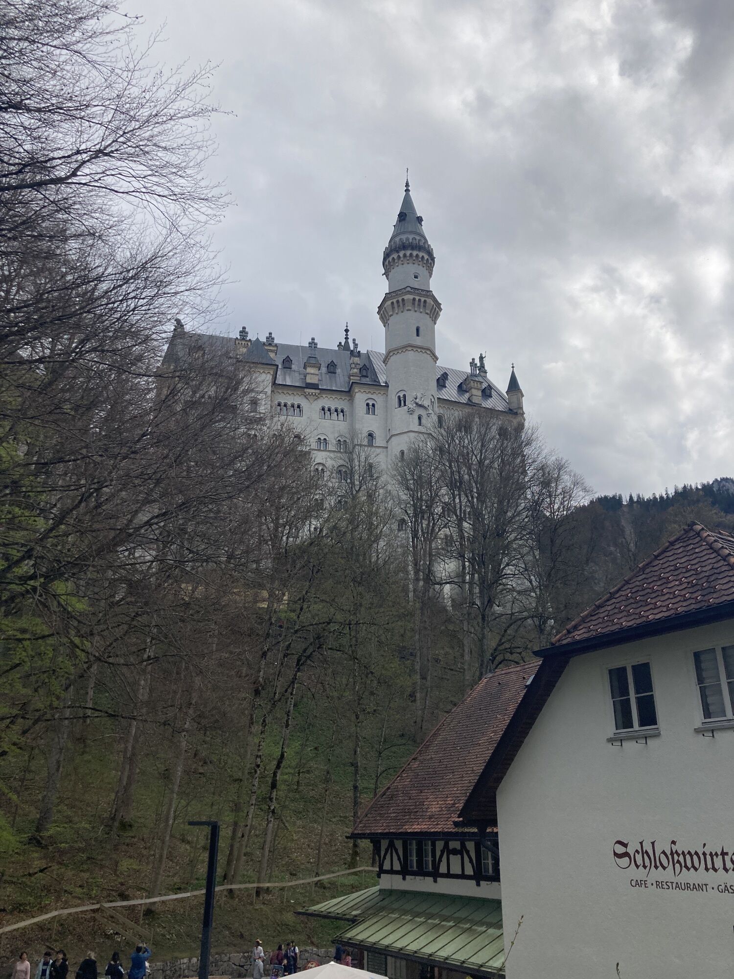
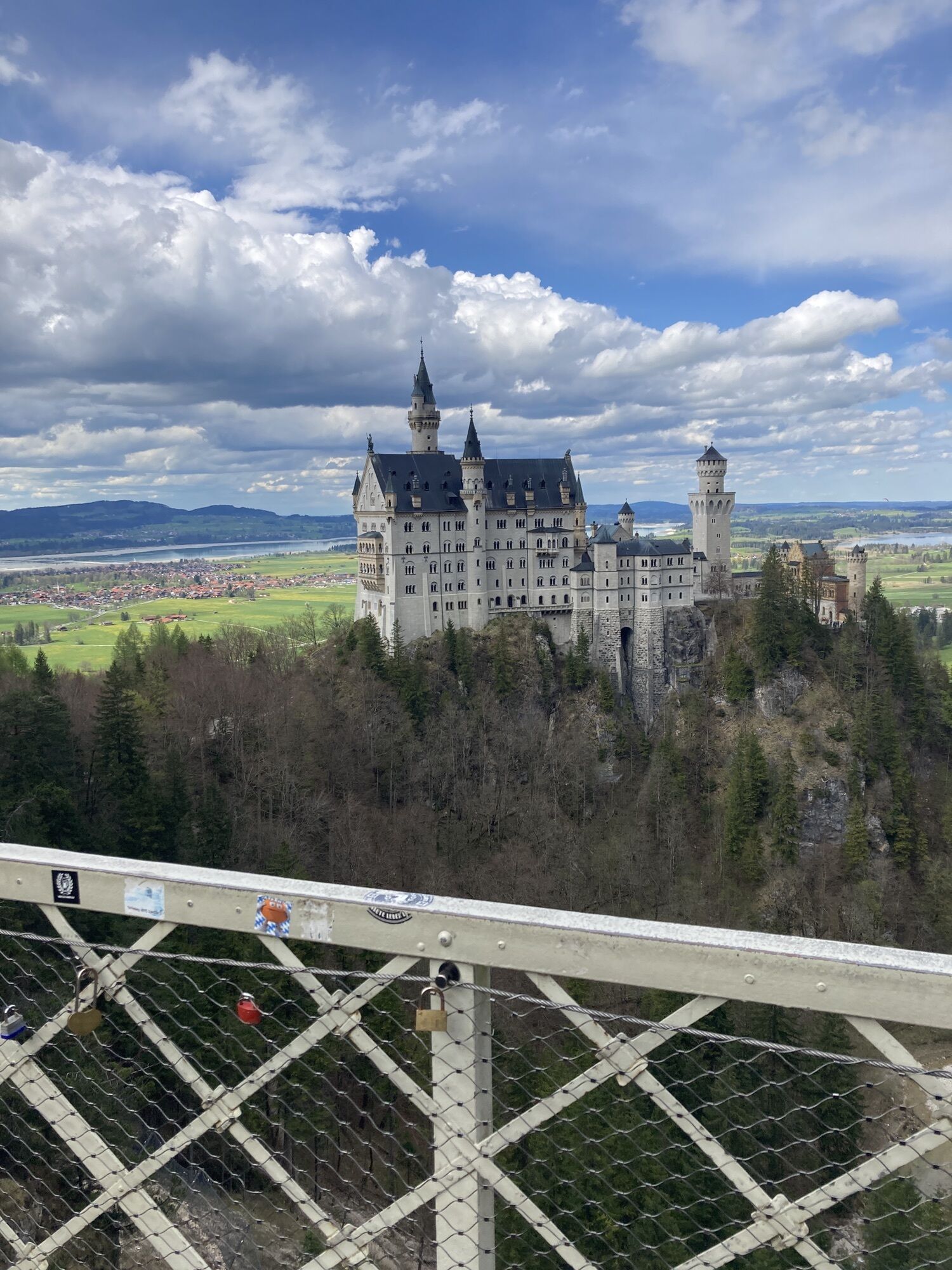
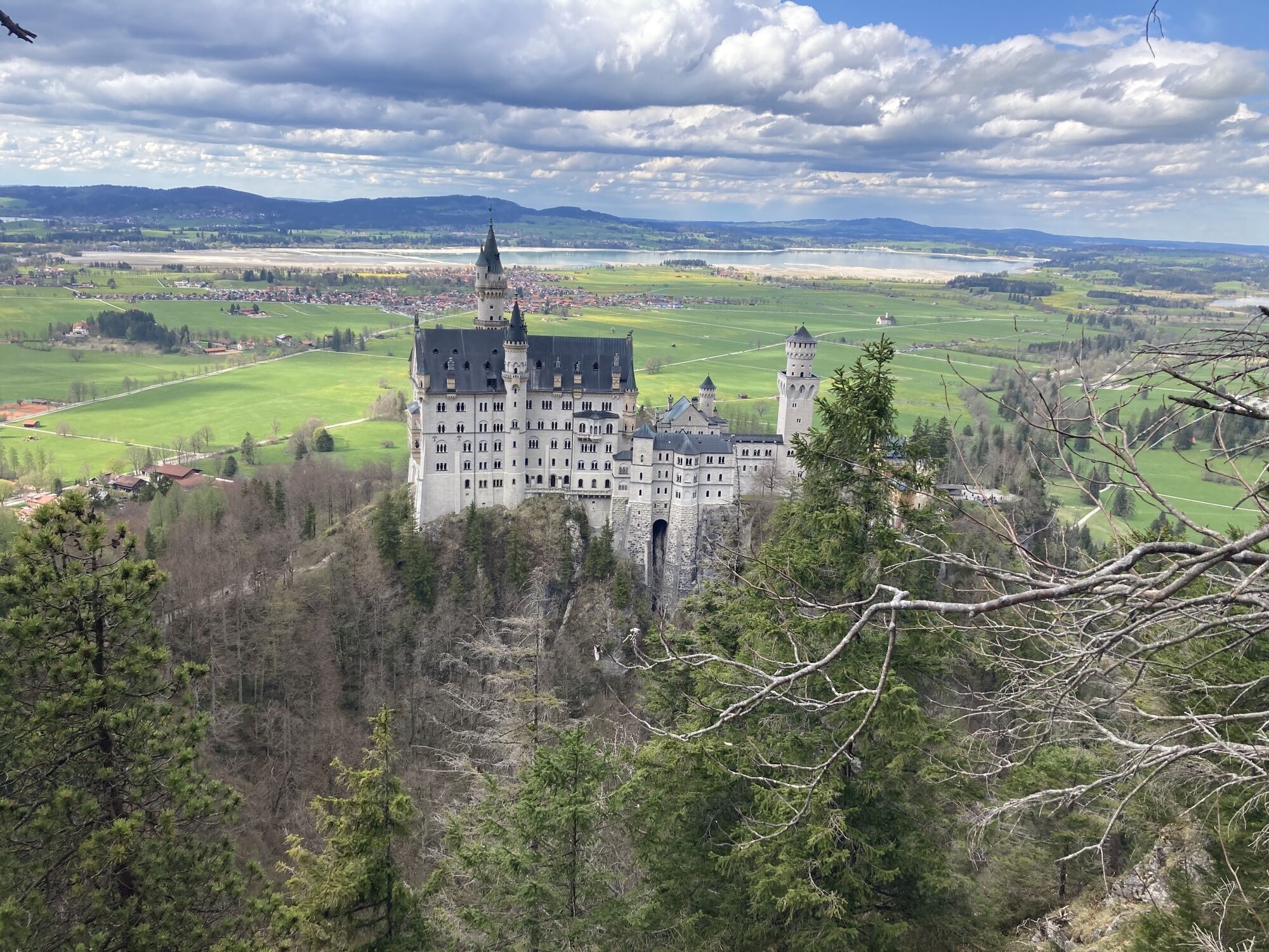
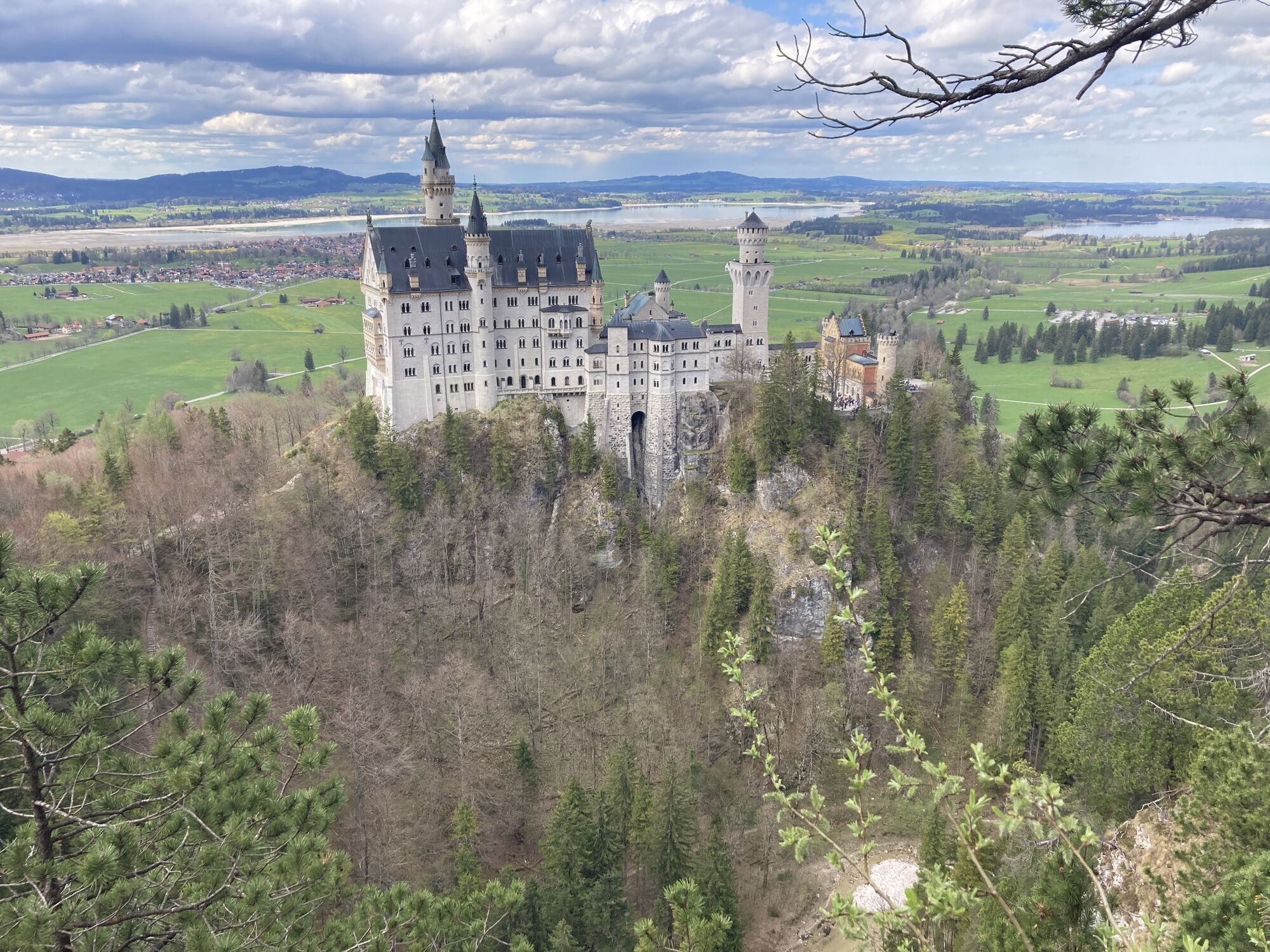
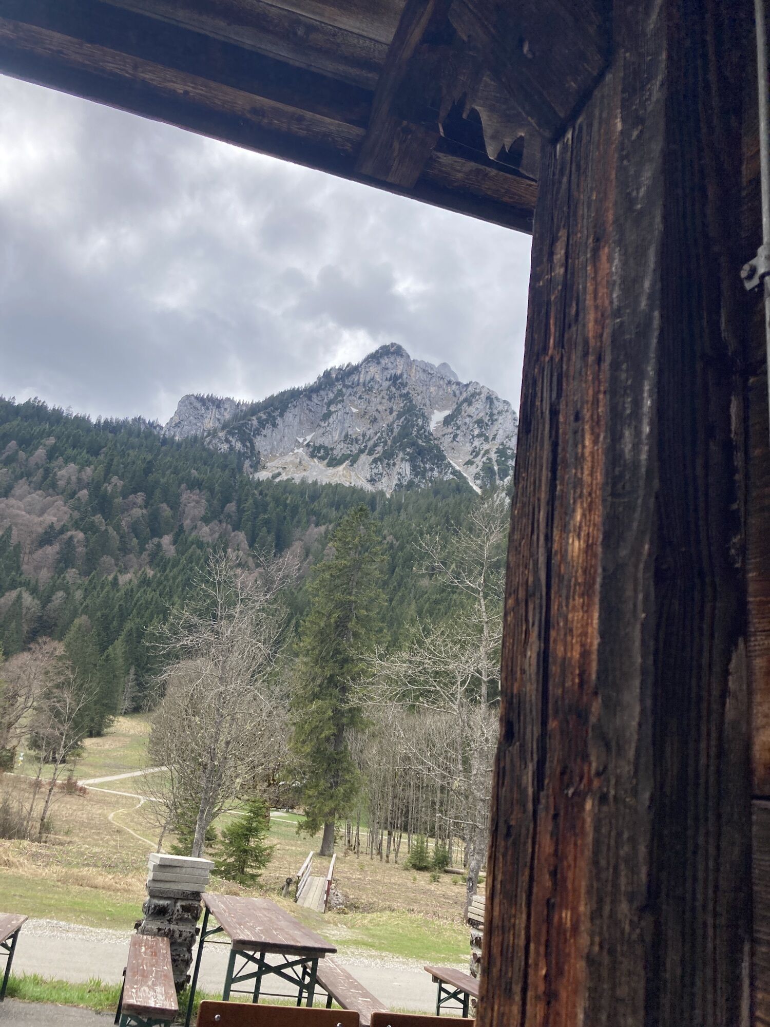
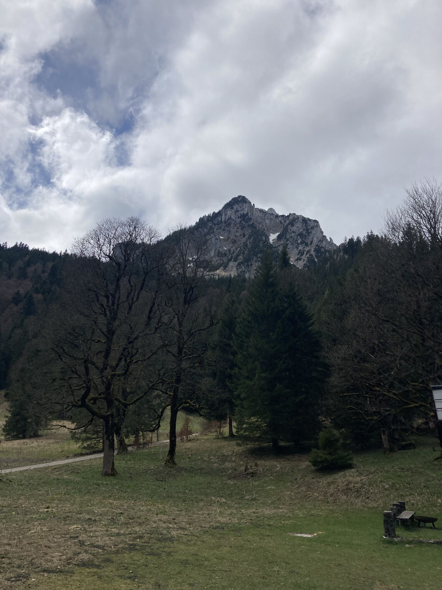

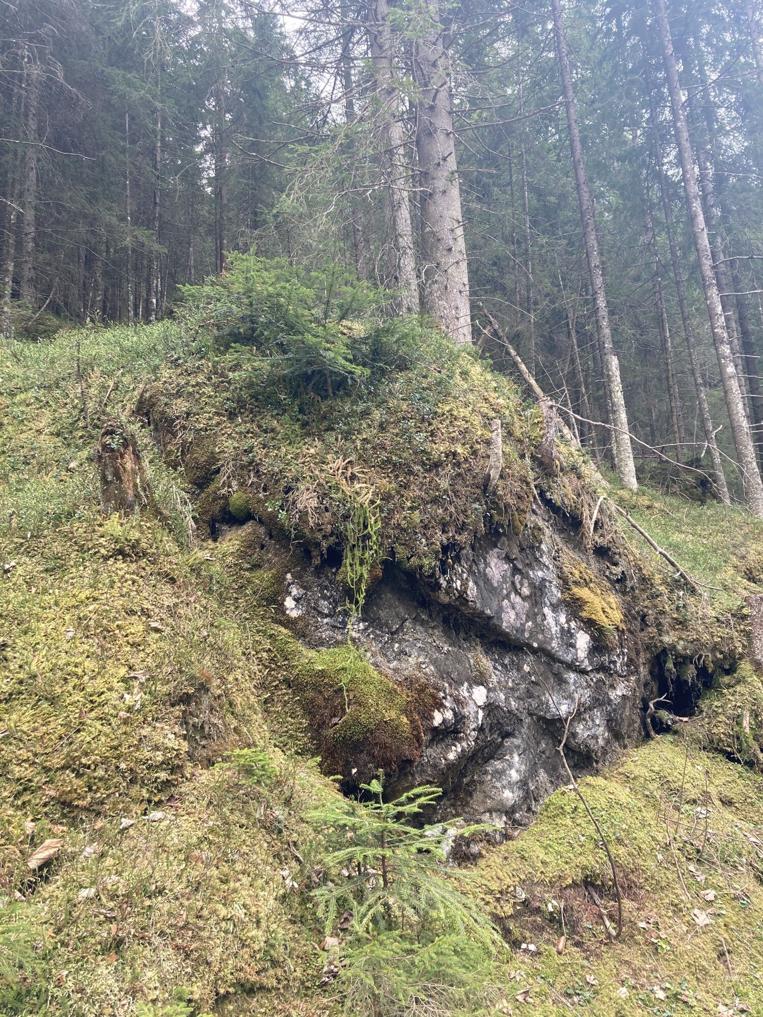
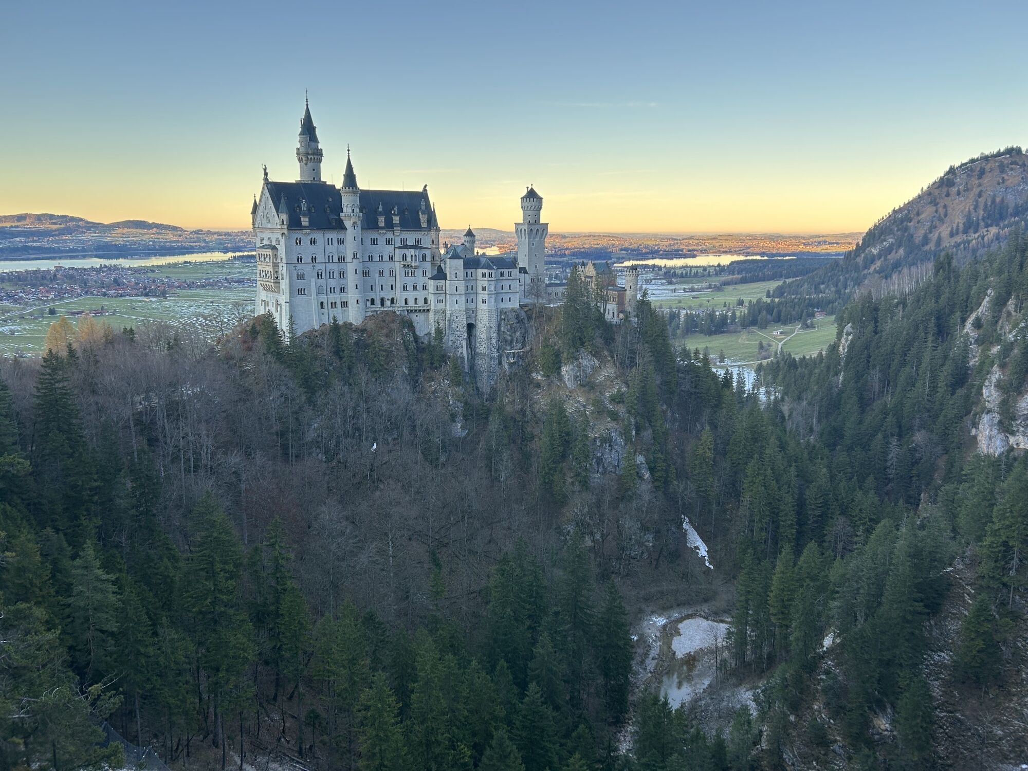
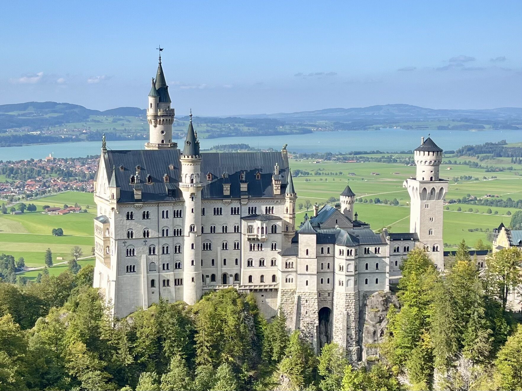
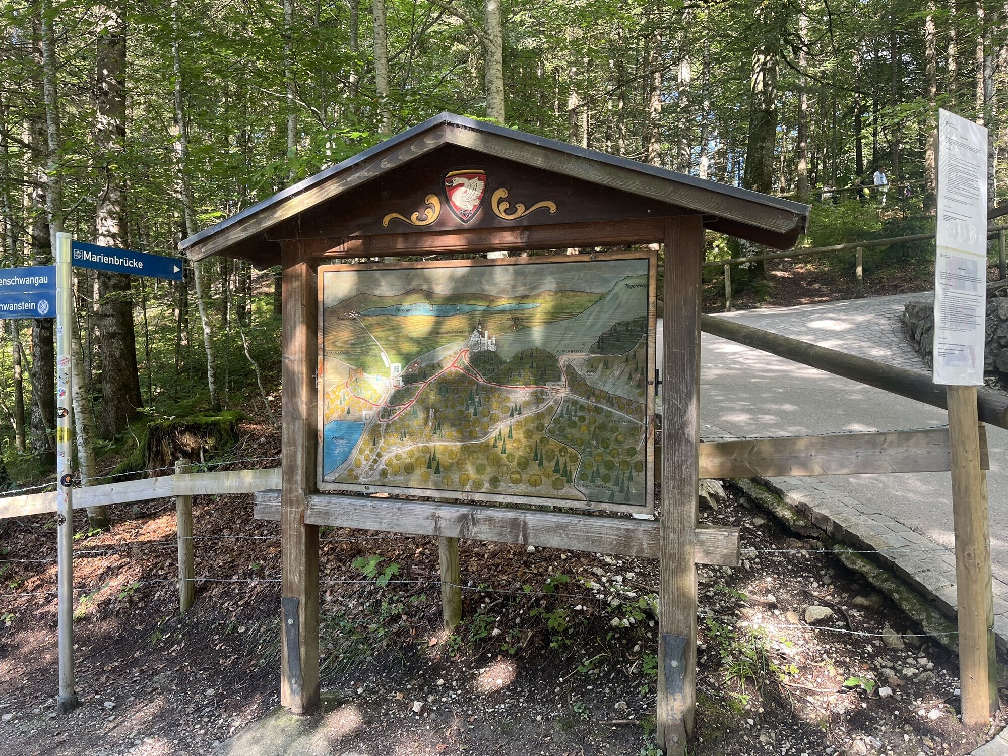

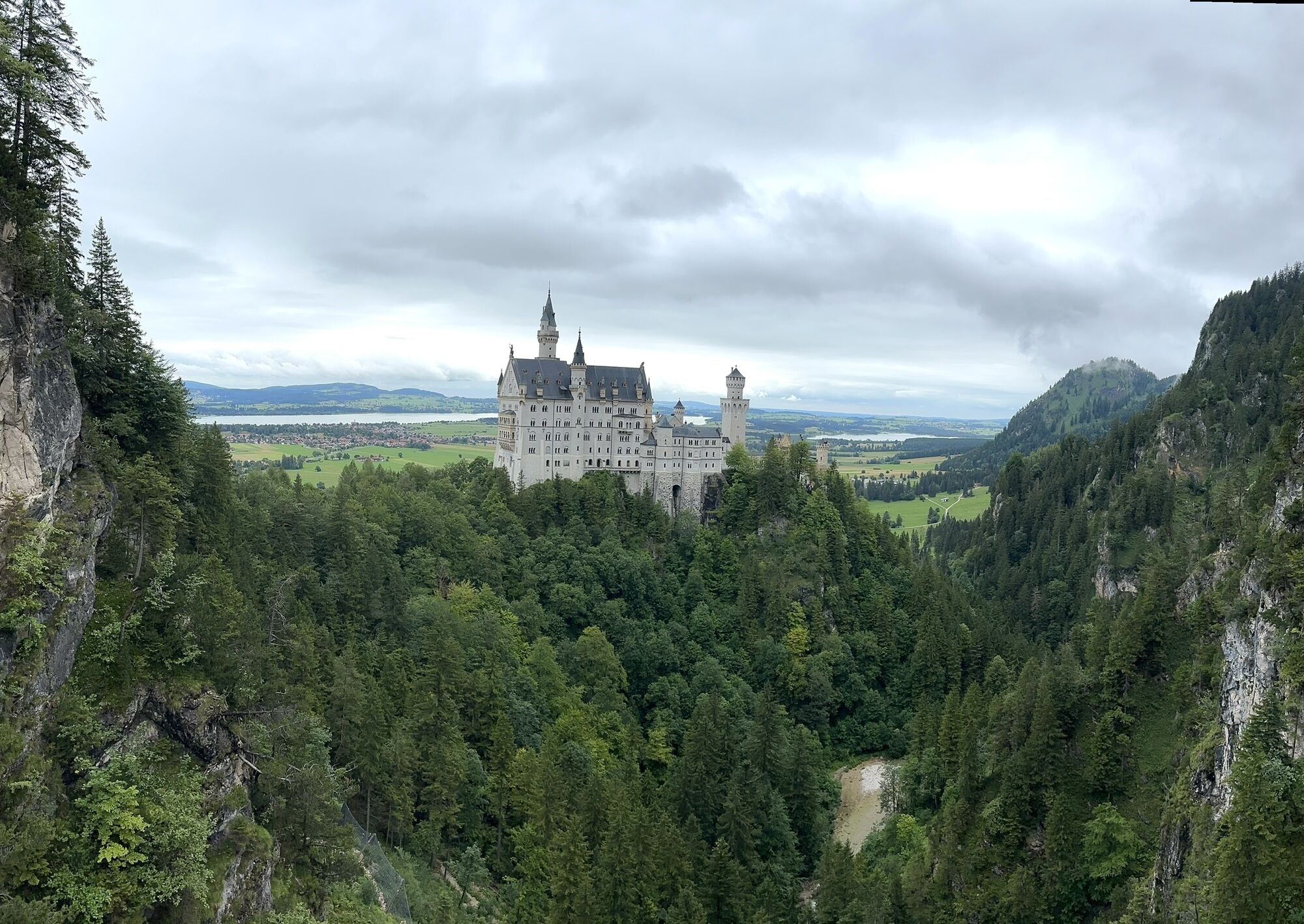
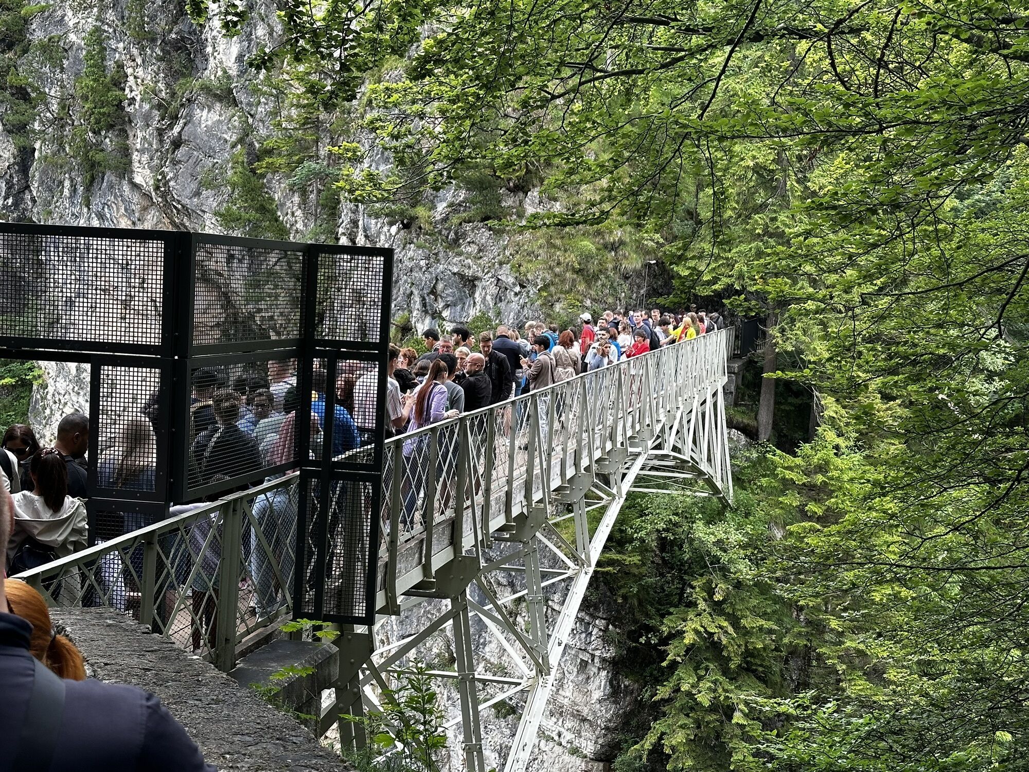
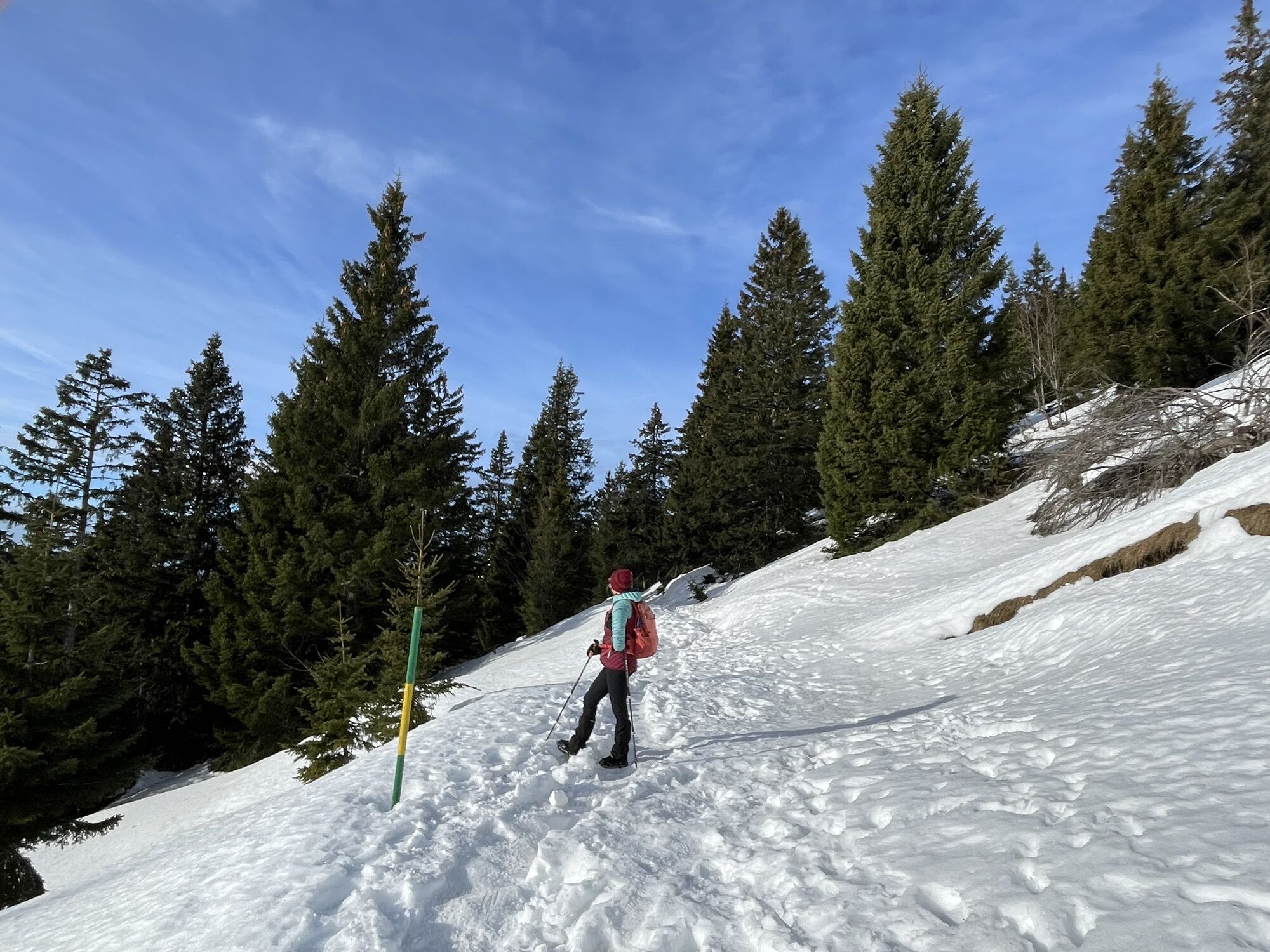
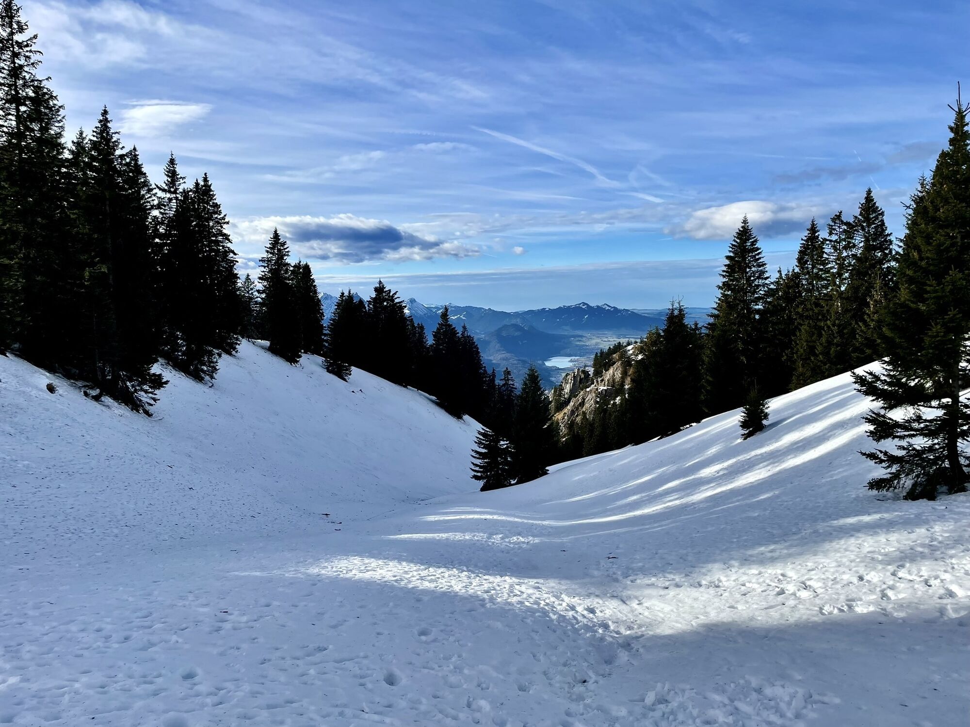
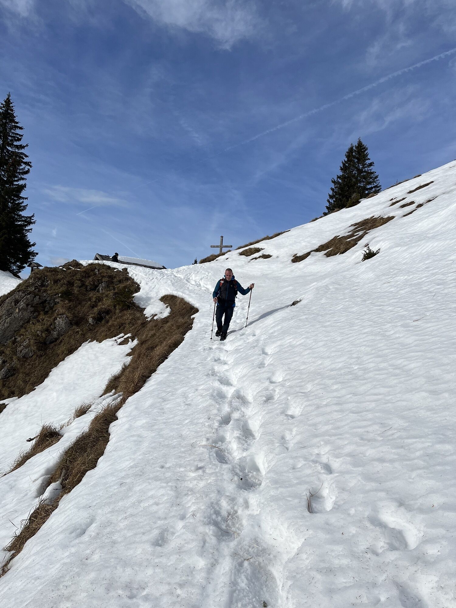
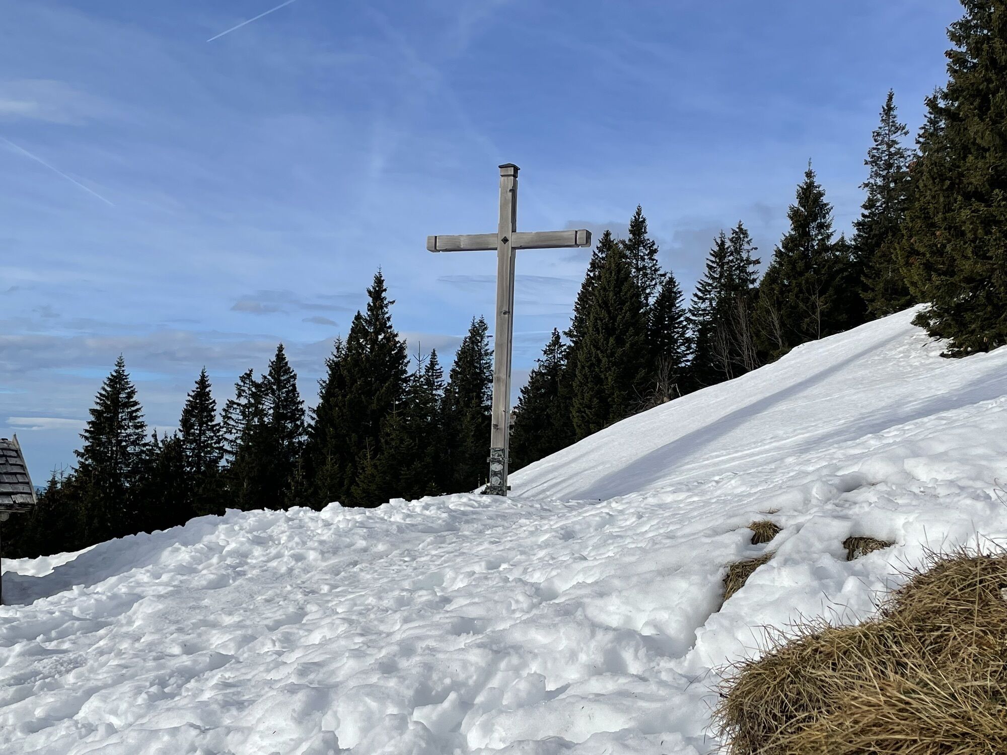
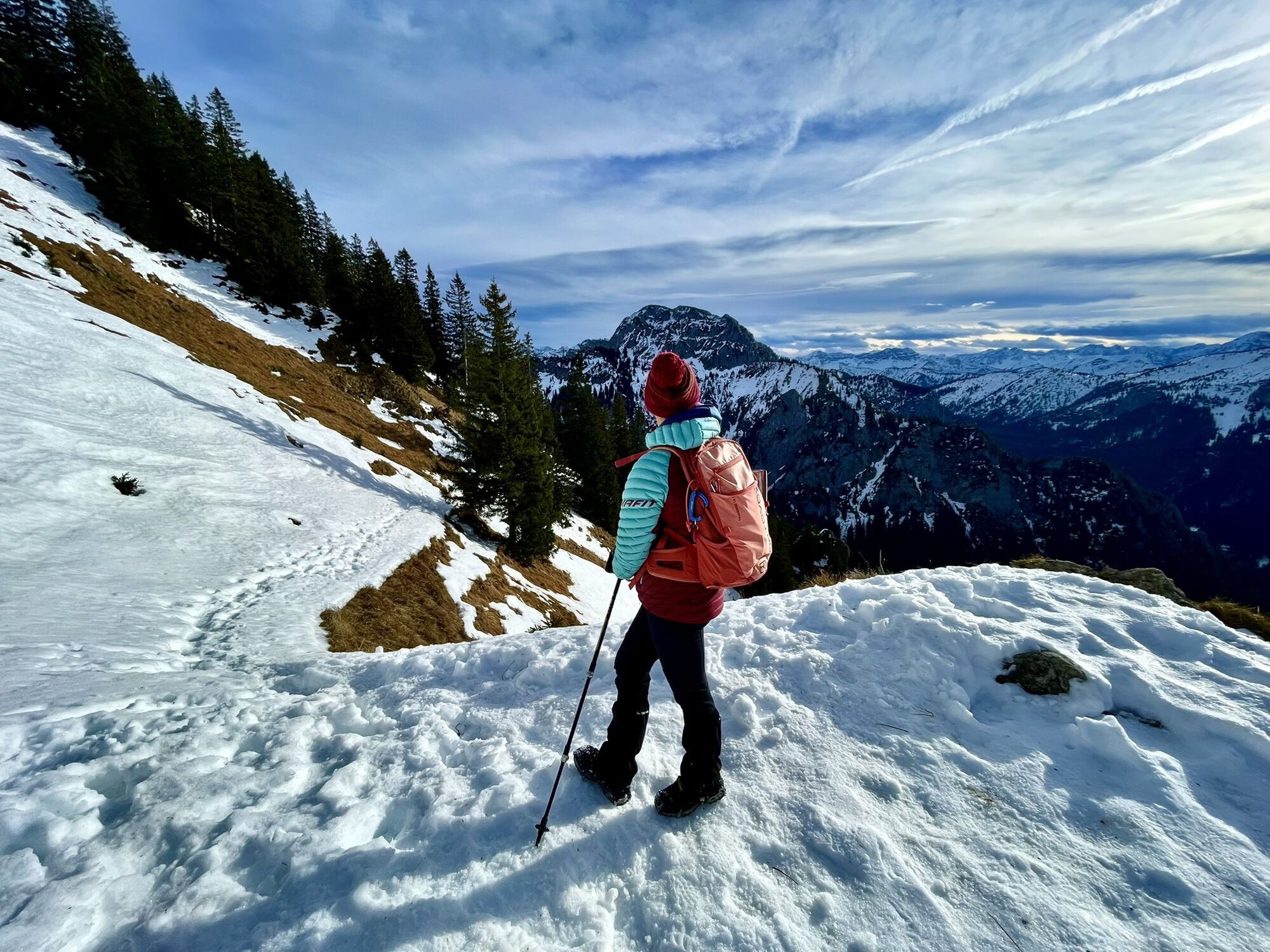
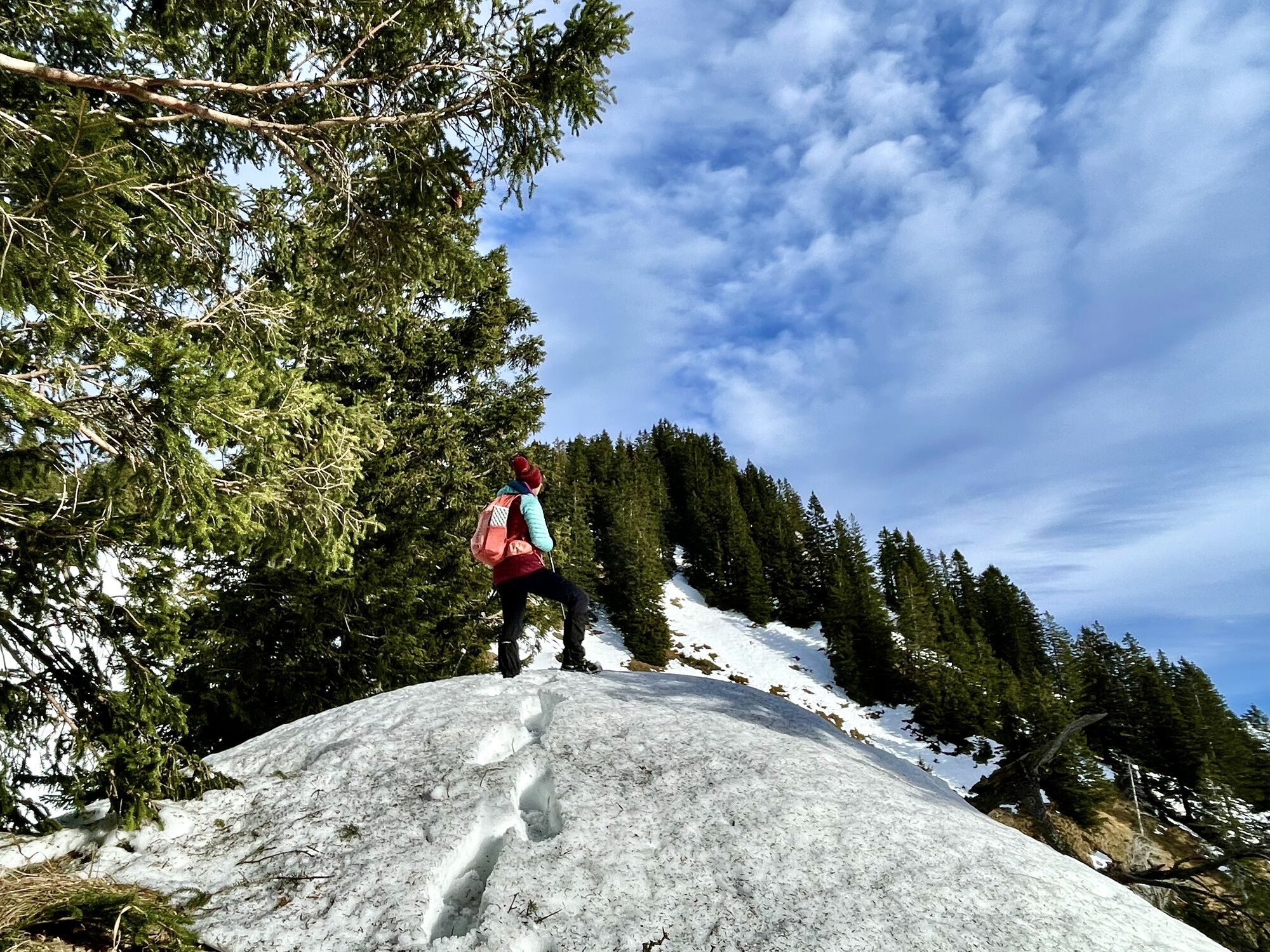
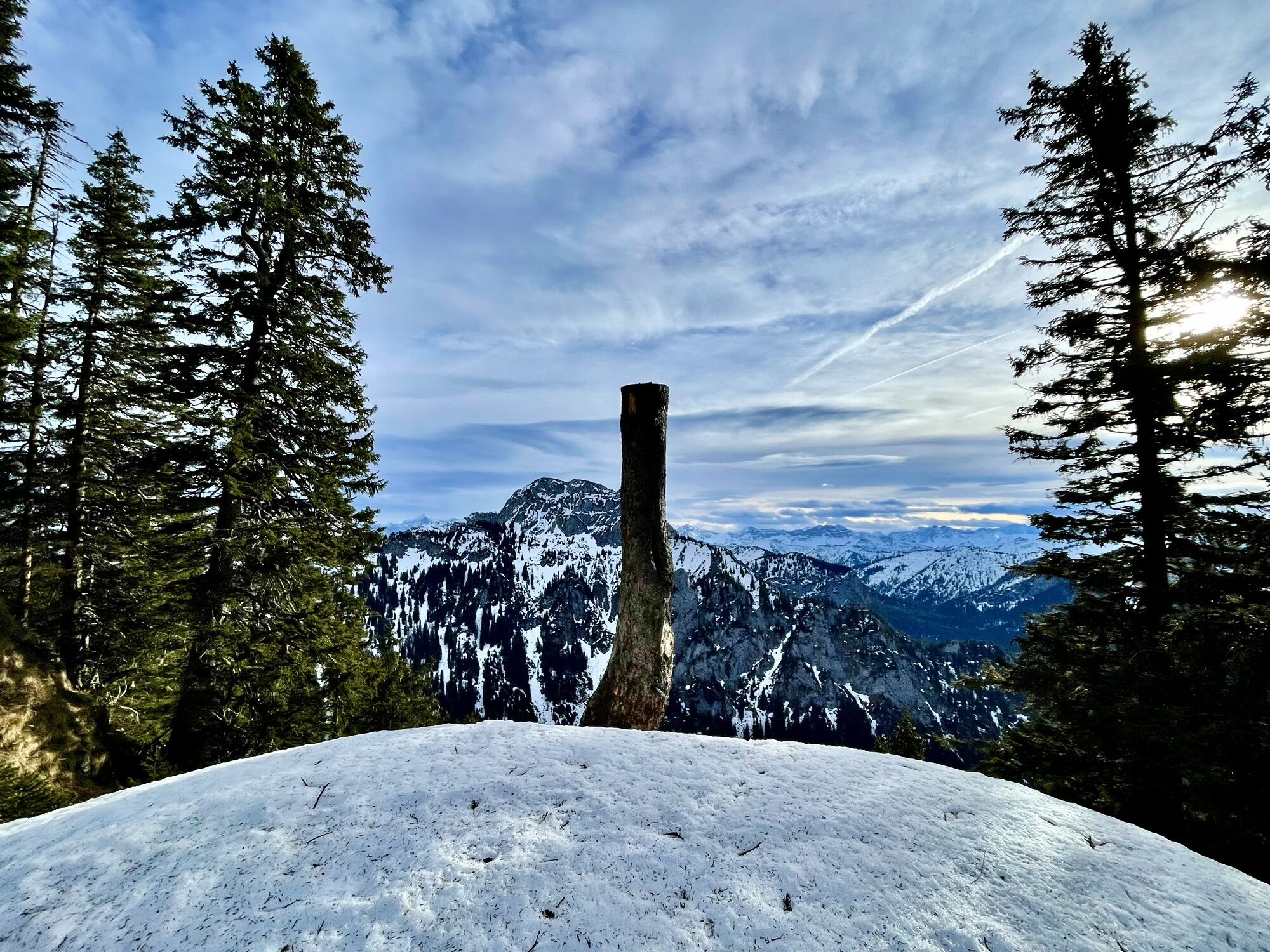
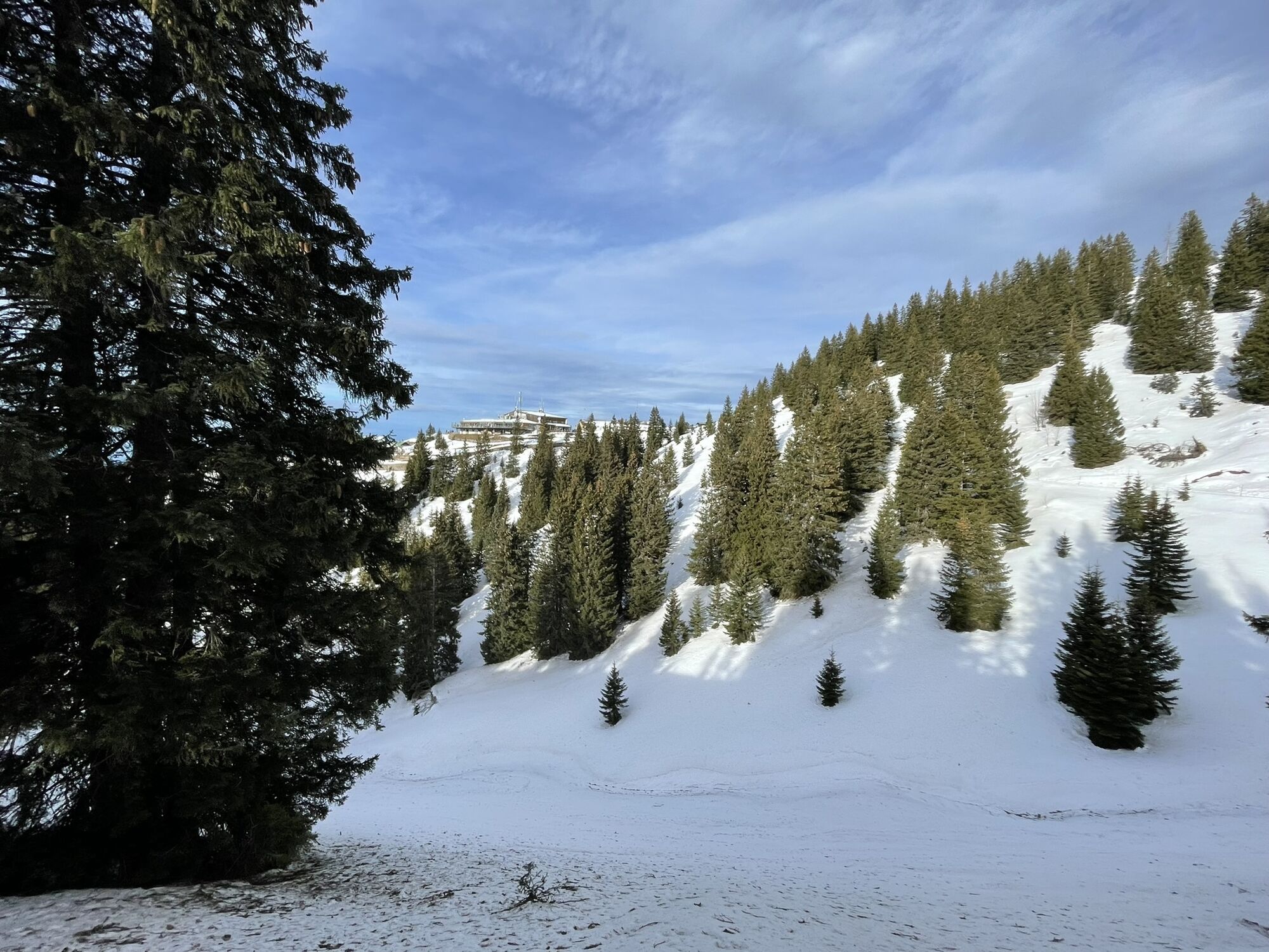
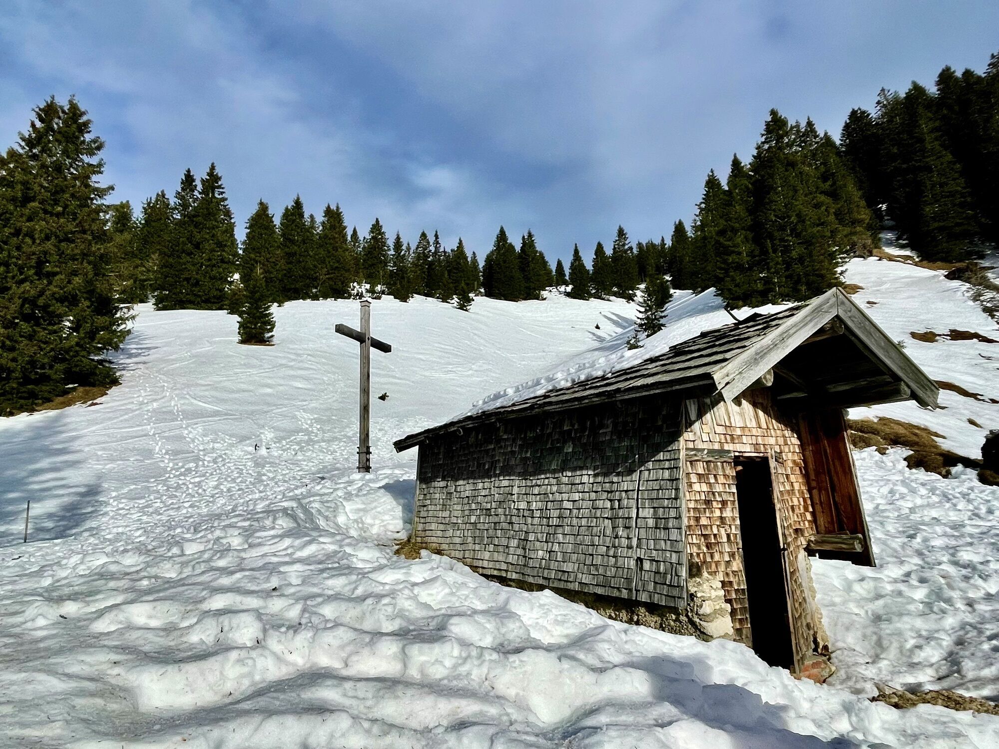
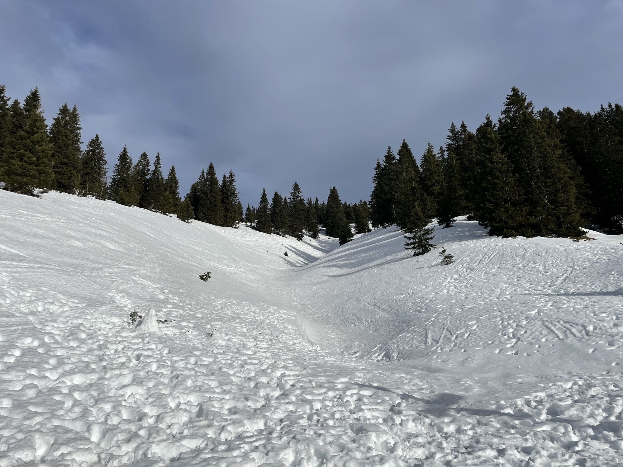
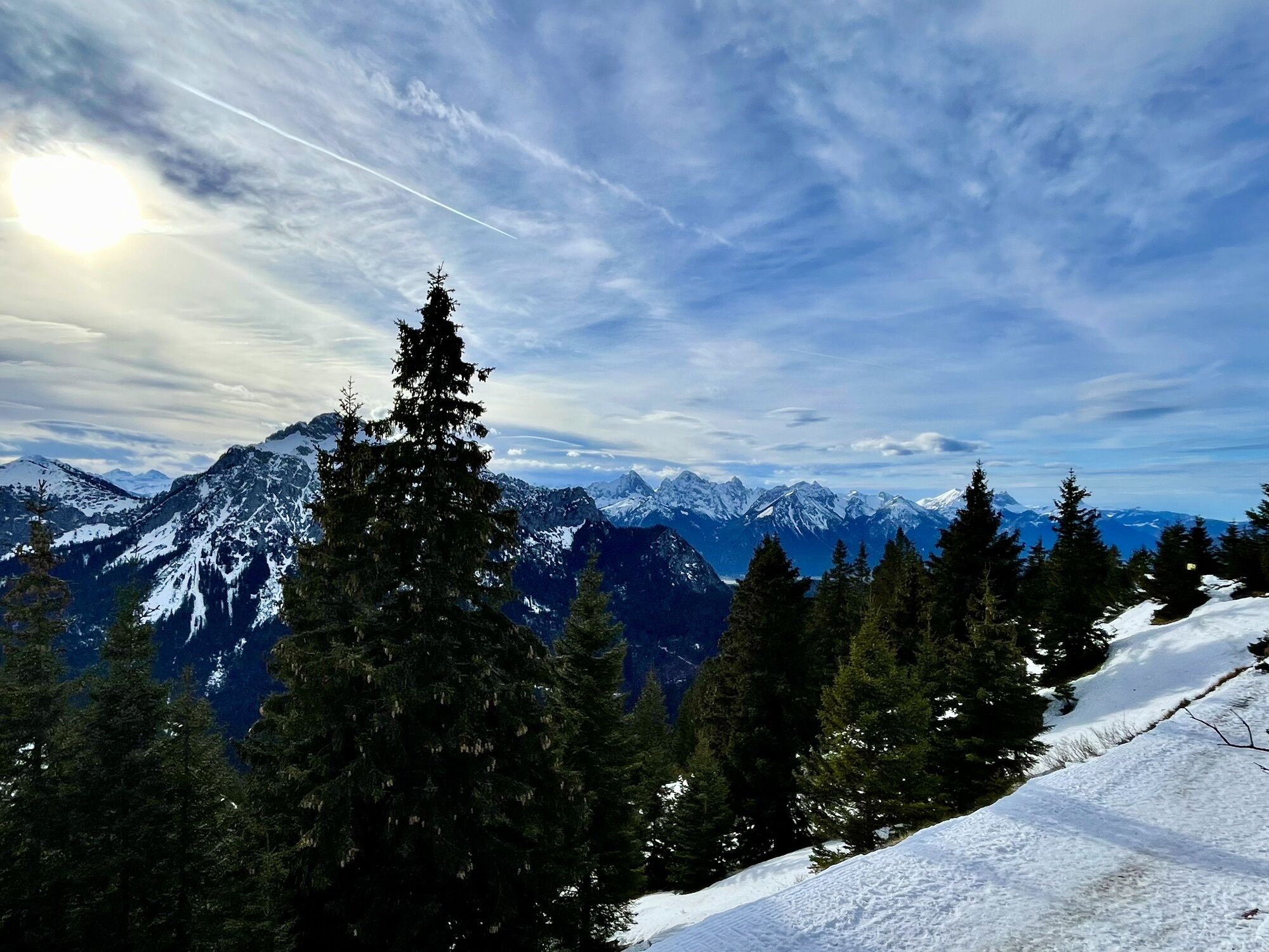
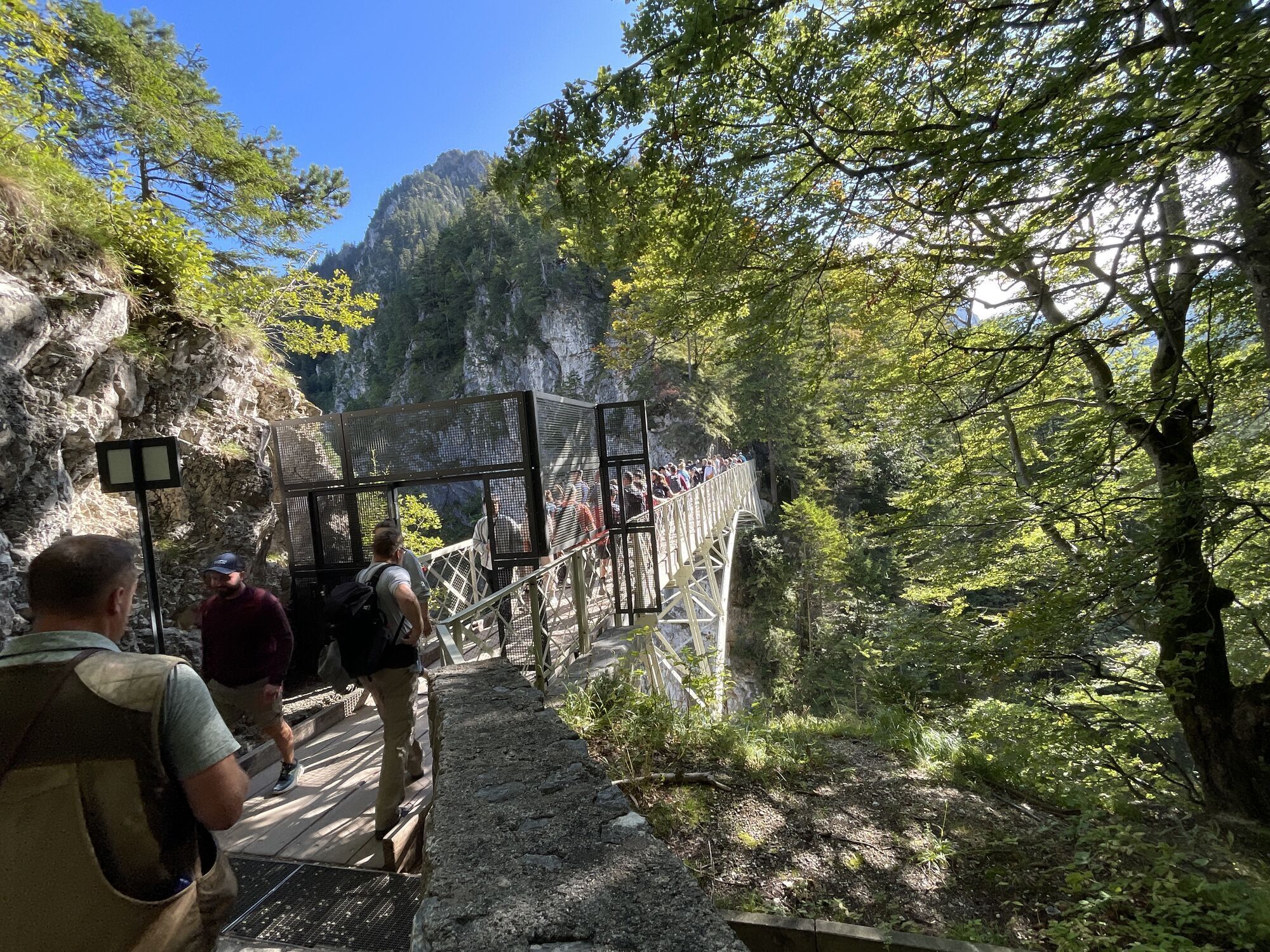
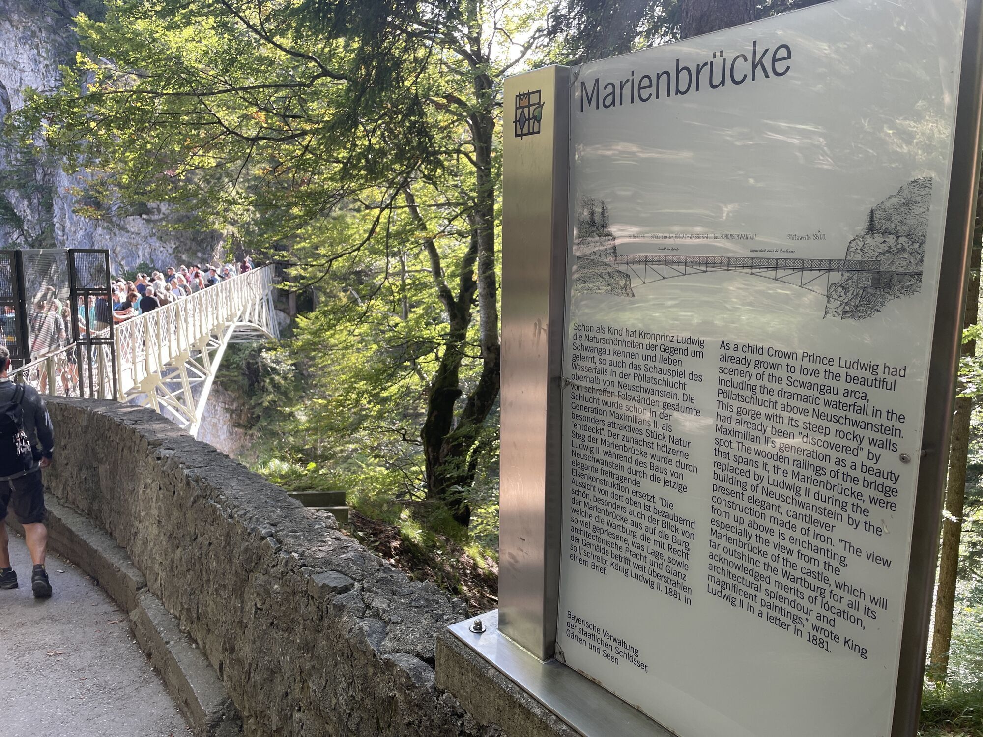
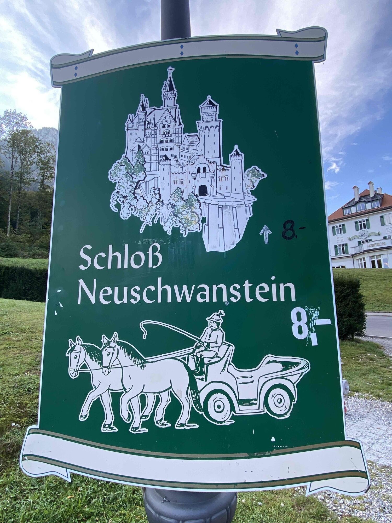
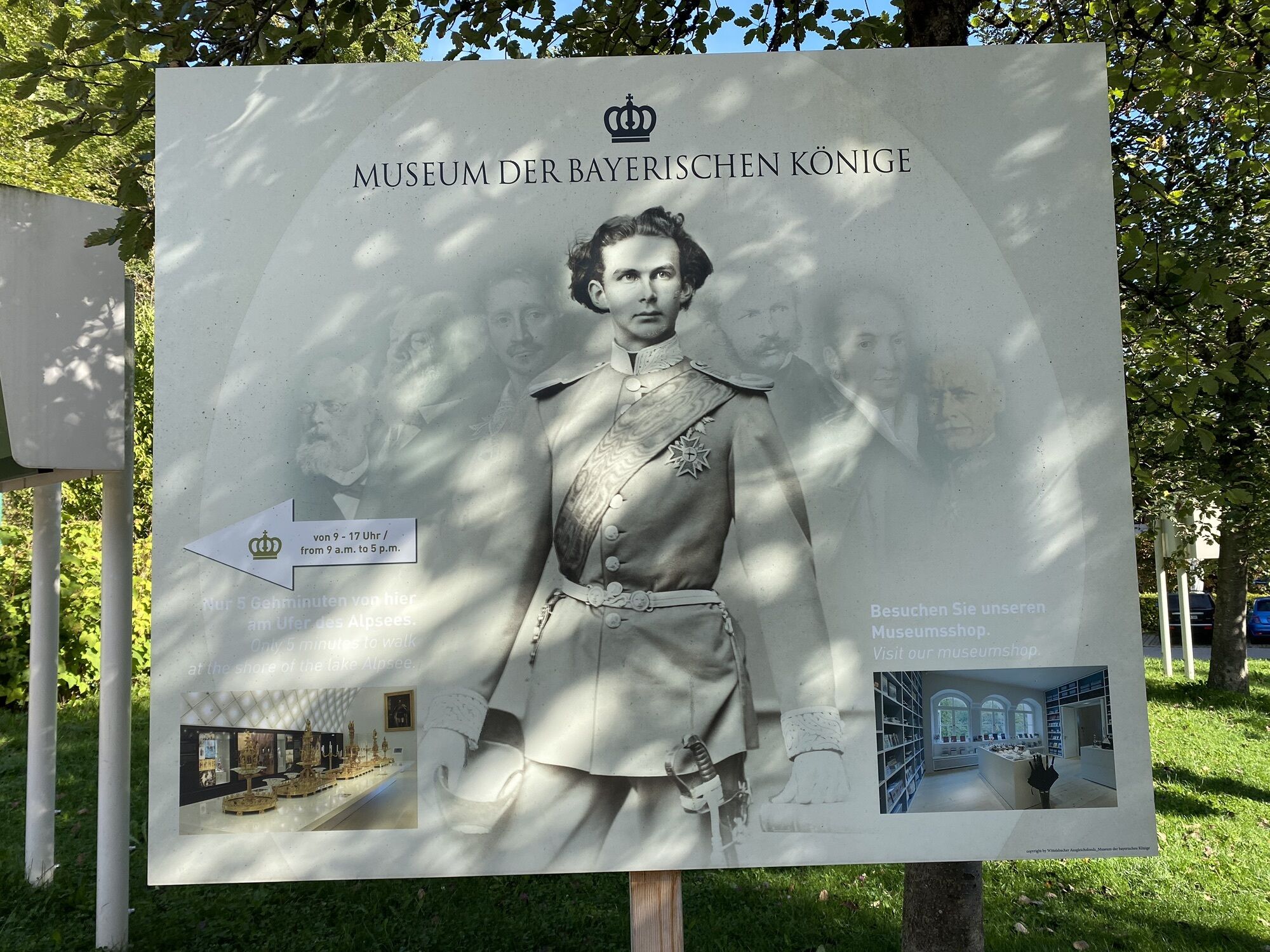
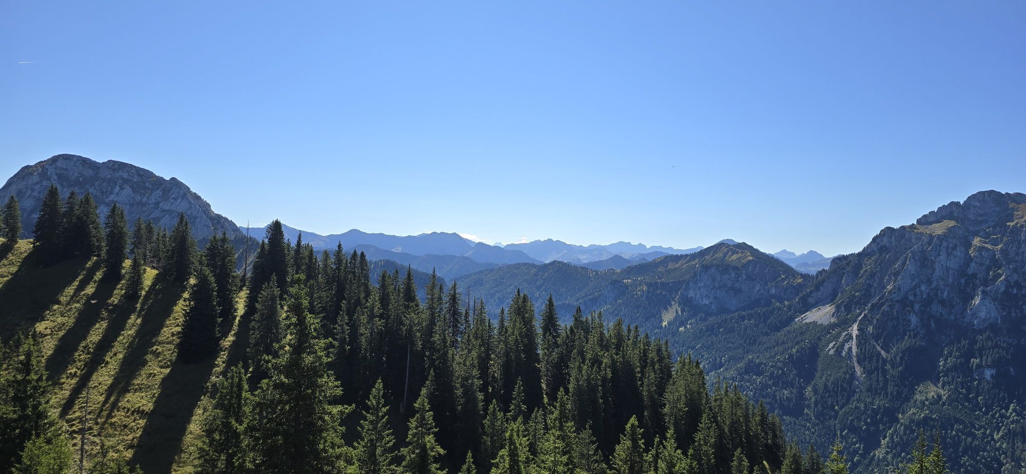
Nice hiking tour on royal riding paths.

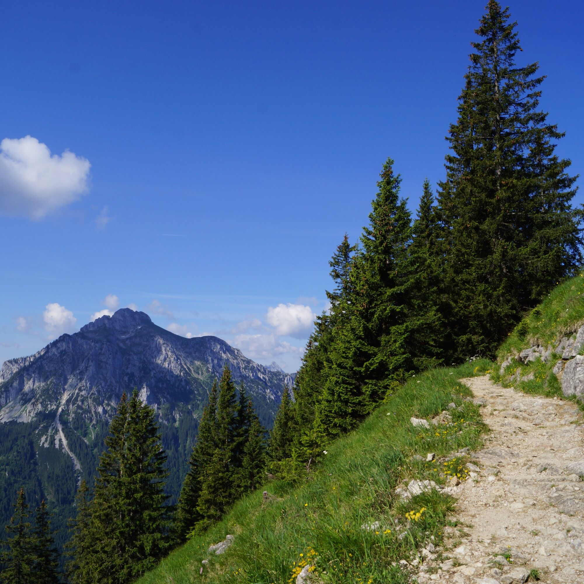
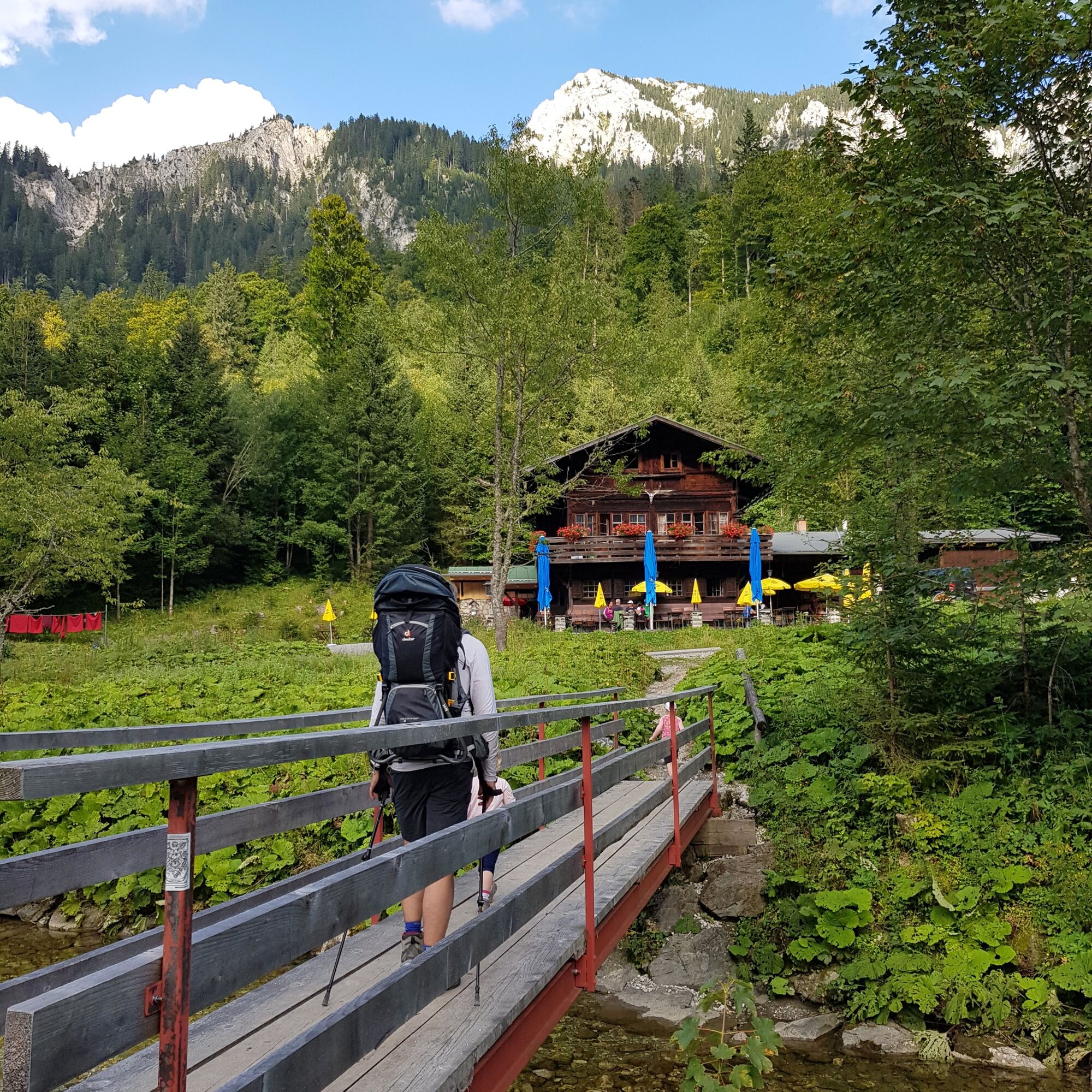
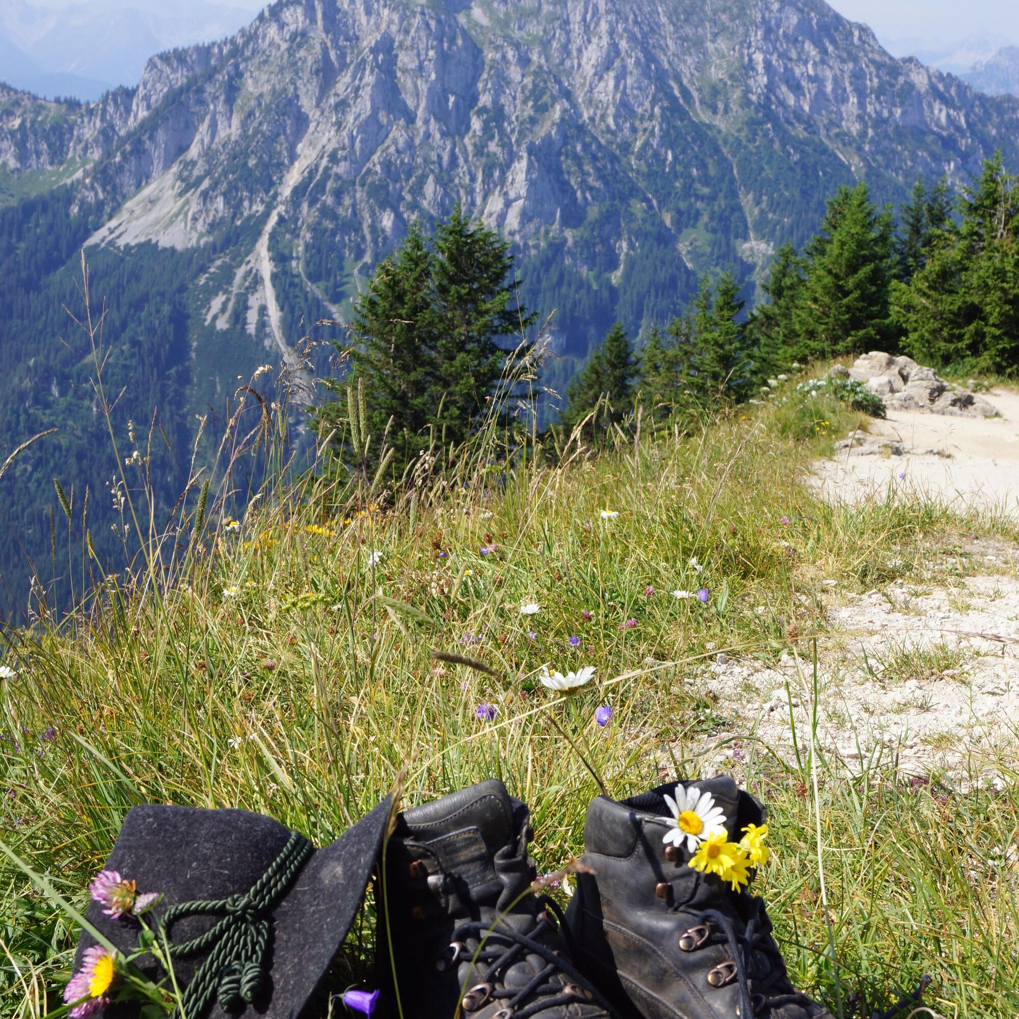
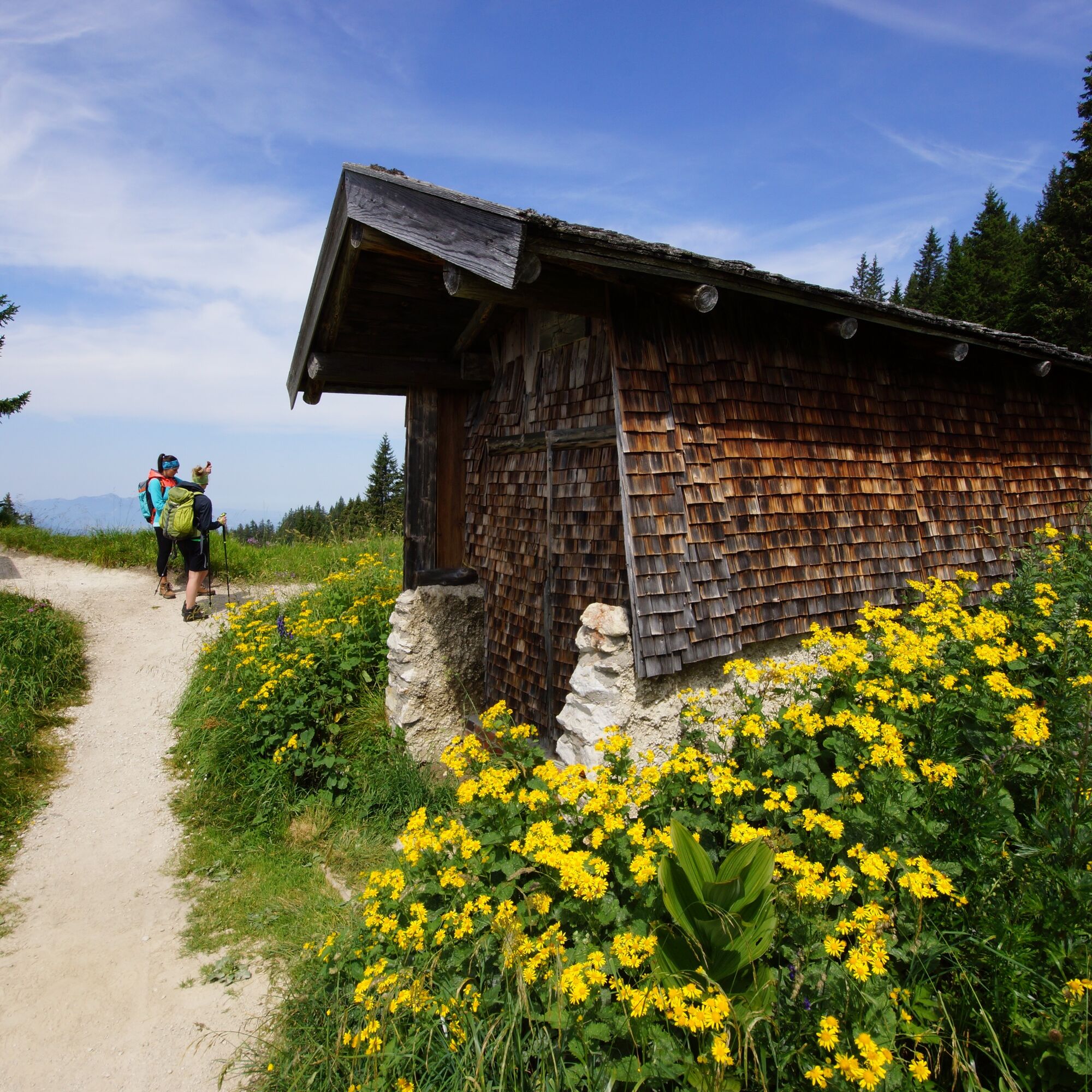
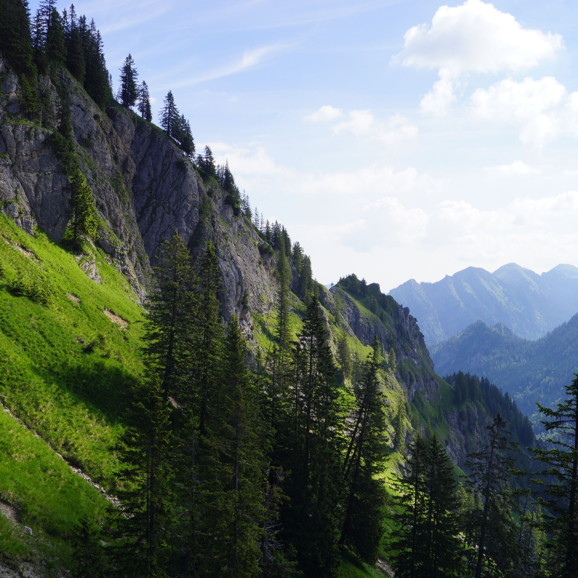

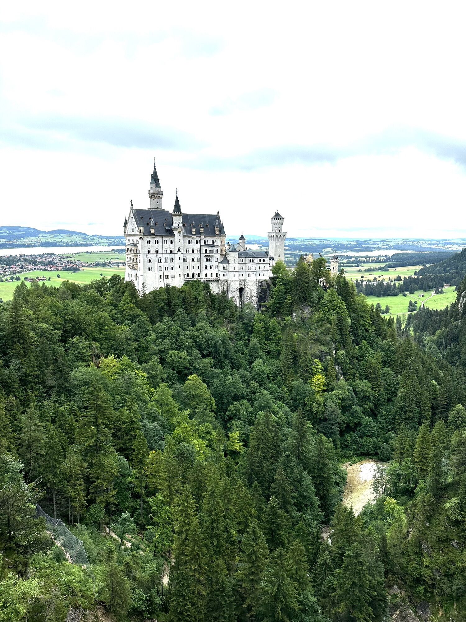
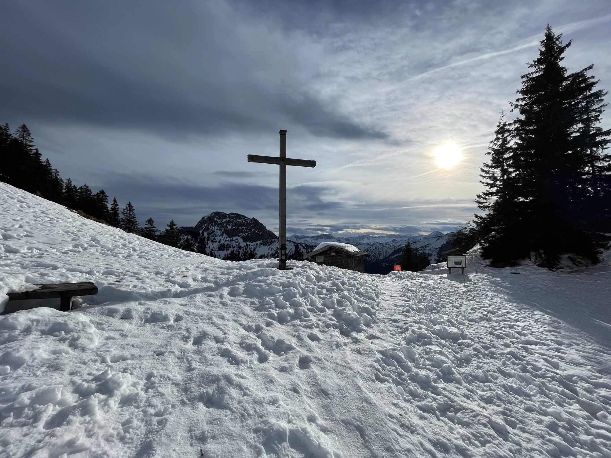
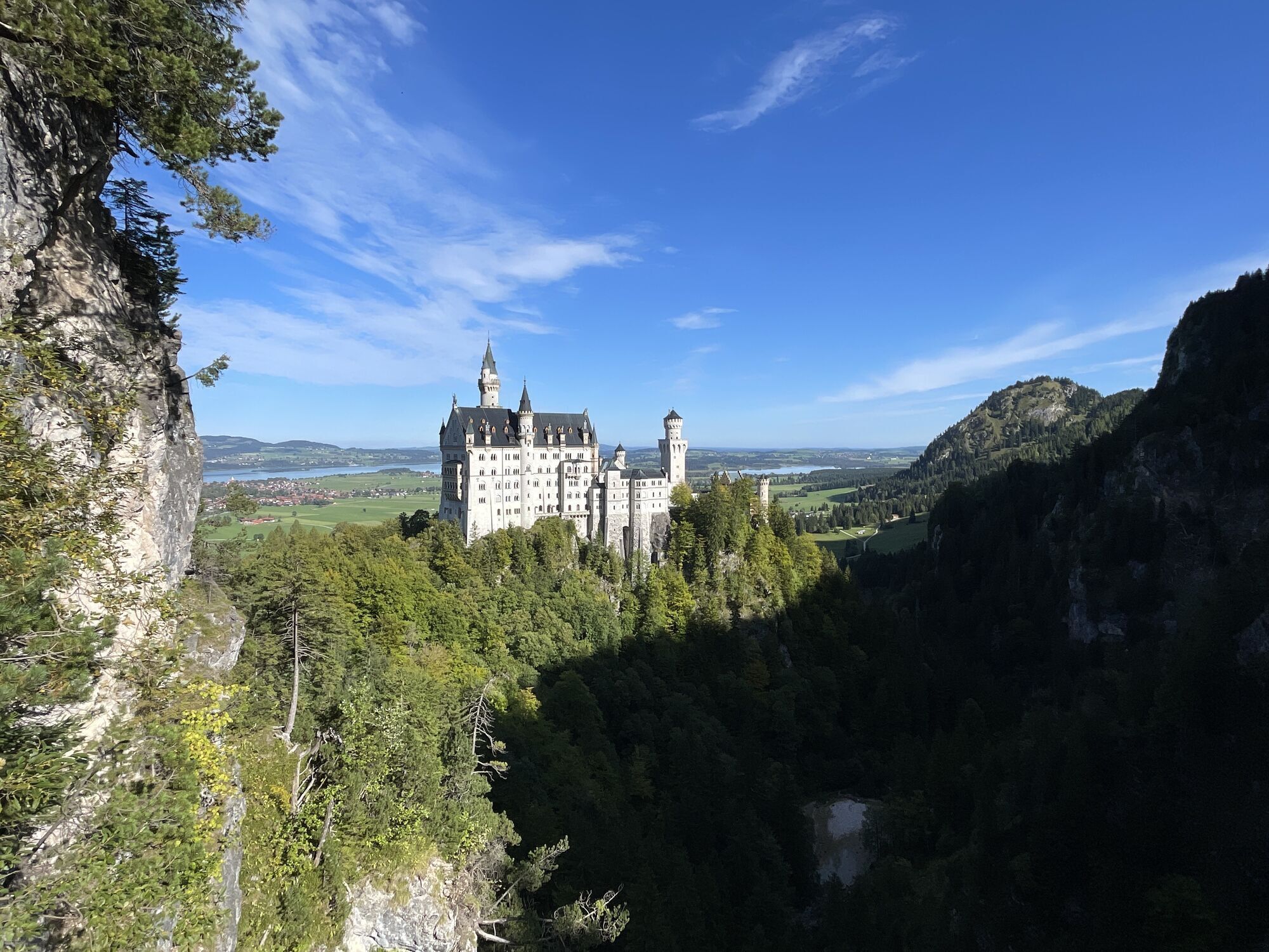
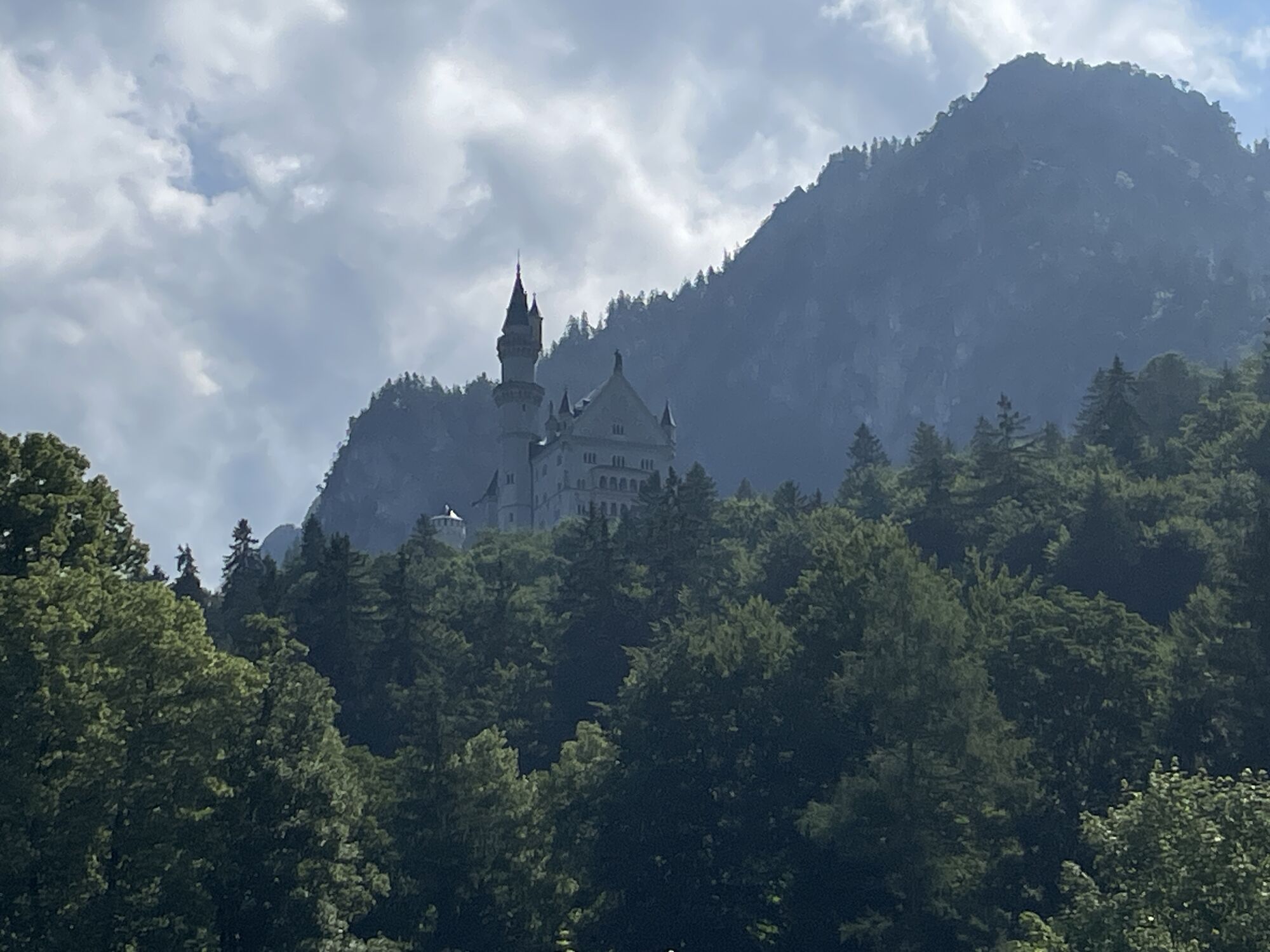
After the ascent with the Tegelberg Cable Car to the top station, the nature trail Ahornreitweg begins on an alpine path with intermittent views of the valley in the midst of the magnificent mountain world to the Branderfleck. From there, the actual bridle path leads you comfortably in a gently sloping hairpin bends to the end of the nature trail at the Bleckenau forest road. About 10 minutes short ascent, you can rest and strengthen yourself at mountain inn Bleckenau. Either you return via Neuschwanstein Castle to the valley Tegelberg cable car station or simply take the inn bus. The nature trail Ahornreitweg forms a unit with Schutzengelweg which leads from the Tegelberg down to the forest road Bleckenau. King Maximilian II had the grounds laid out around 1850 so as to enable his entourage to reach both the royal hunting grounds and hunting lodge Tegelberg comfortably on horsebacks.
You have to look to the signs "Tegelbergbahn"
Busstop "Tegelbergbahn"
Carpark near the cable car Tegelbergbahn
T1
Webové kamery z prohlídky
Talstation
Tegelbergbahn Bergstation
Tegelberghaus
Füssen - Wellness Hotel Sommer
Segelclub Füssen
Talstation
Talstation
Talstation
Talstation
Tegelbergbahn Bergstation
Tegelbergbahn Bergstation
Tegelbergbahn Bergstation
Tegelbergbahn Bergstation
Talstation
Talstation
Tegelbergbahn Bergstation
Schloss Hohenschwangau
Schloss Hohenschwangau
Schloss Hohenschwangau
Schloss Hohenschwangau
Schloss Hohenschwangau
Schloss Hohenschwangau
Schloss Hohenschwangau
Schloss Hohenschwangau
Ludwigs Festspielhaus Füssen
Ludwigs Festspielhaus Füssen
Ludwigs Festspielhaus Füssen
Ludwigs Festspielhaus Füssen
Ludwigs Festspielhaus Füssen
Ludwigs Festspielhaus Füssen
Ludwigs Festspielhaus Füssen
Forggensee
Tegelbergbahn Bergstation
Schwangau - Blick auf den Tegelberg
Hotel Hirsch
Hotel Hirsch
Hotel Hirsch
Hotel Hirsch
Hotel Hirsch
Hotel Hirsch
Získejte přehled Vždy živě na místě s více než 9 500 webkamerami. bergfex Jako uživatel Pro si nyní můžete zobrazit odpovídající webové kamery pro mnoho prohlídek v aplikaci prohlídky z. Můžete si tak přímo prohlédnout aktuální podmínky. 
Oblíbené prohlídky v okolí
- 4,8
Around Weißensee
světloTuristika 6,12 km - 5,0
Hiking tour to Breitenberg
heavyTuristika 15,6 km - 4,1
Drehhütte
světloTuristika 3,34 km - 4,7
Yellow Wall Trail, Tegelberg (A)
středníVia ferrata 3,65 km - 4,5
Circular hike Dreh- and Rohrkopfhütte
světloTuristika 8,76 km - 4,9
Tegelberg | Branderschrofen | Neuschwanstein
středníTuristika 14,8 km - 4,2
Cultural trail Schutzengelweg
středníTuristika 5,13 km - 3,6
Rundwanderung Plansee
středníTuristika 9,80 km - 4,5
Schönjöchl am Plansee
středníTuristika 7,21 km - 4,4
Schloß Neuschwanstein und Schwanensee Schwangau, Bayern
středníTuristika 9 km
Pěší turistika a stopování


Nenechte si ujít nabídky a inspiraci pro vaši příští dovolenou
Vaše e-mailová adresa byl přidán do poštovního seznamu.





