




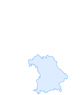

Säuling and Pilgerschrofen circuit
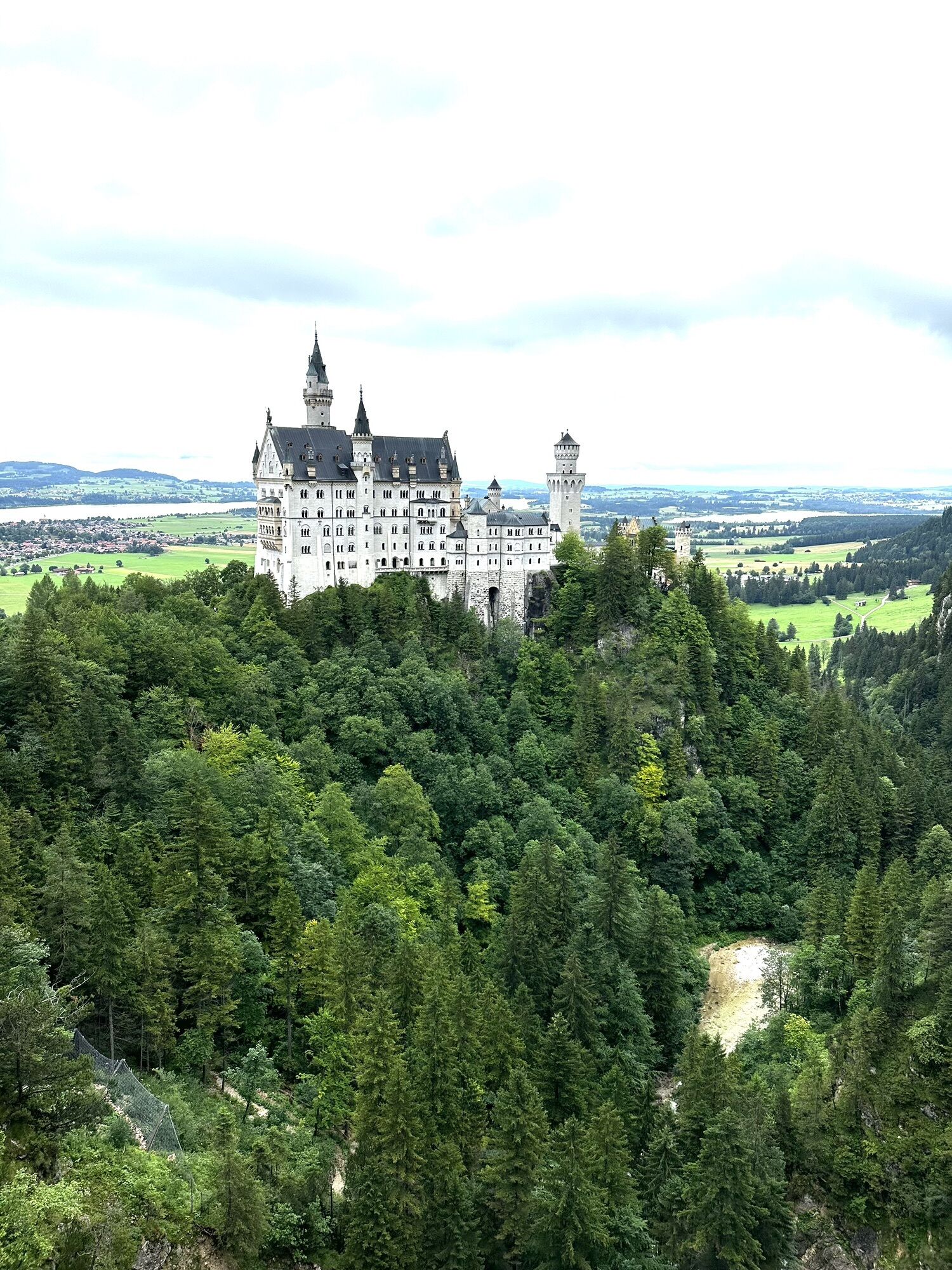
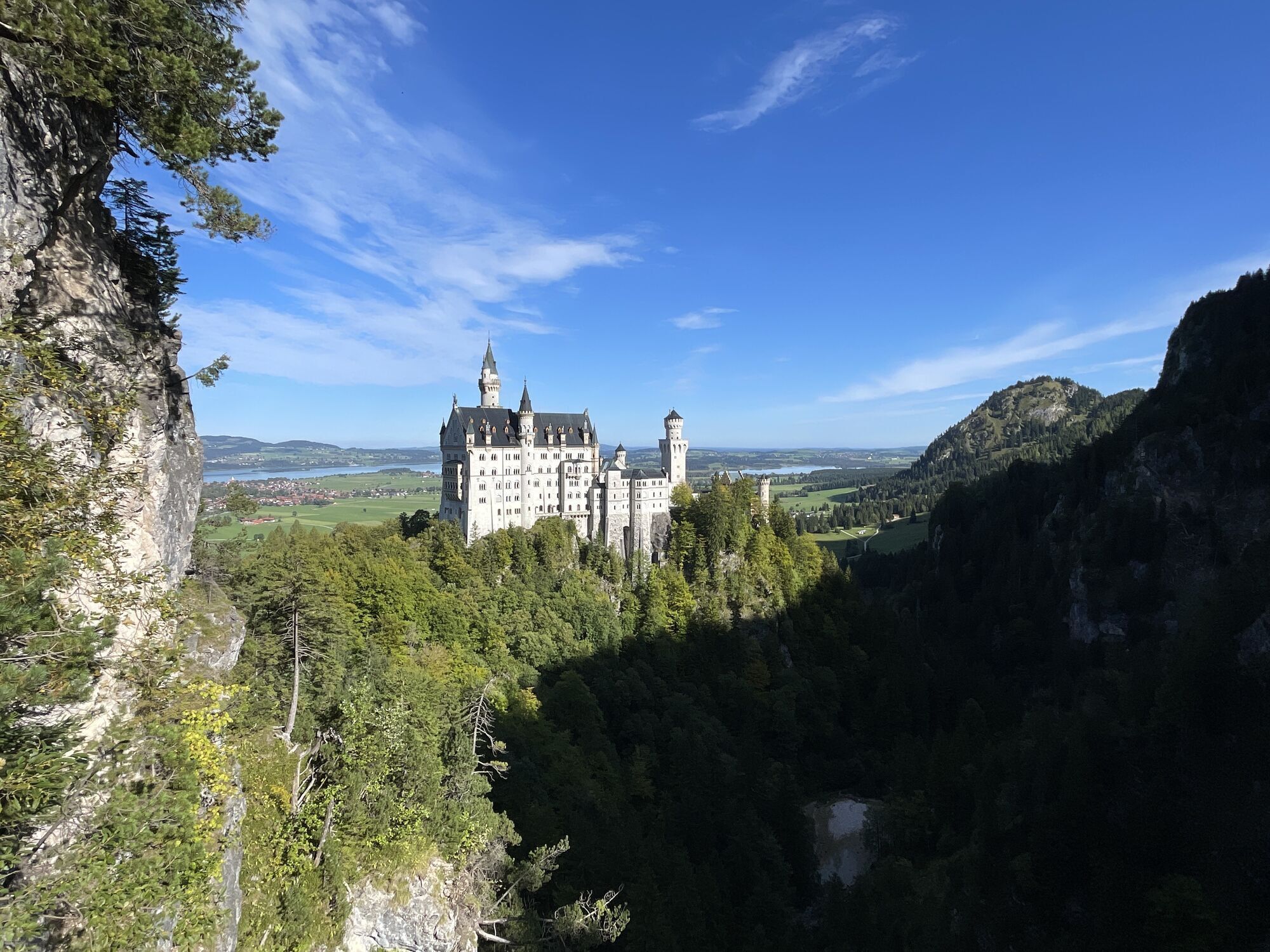
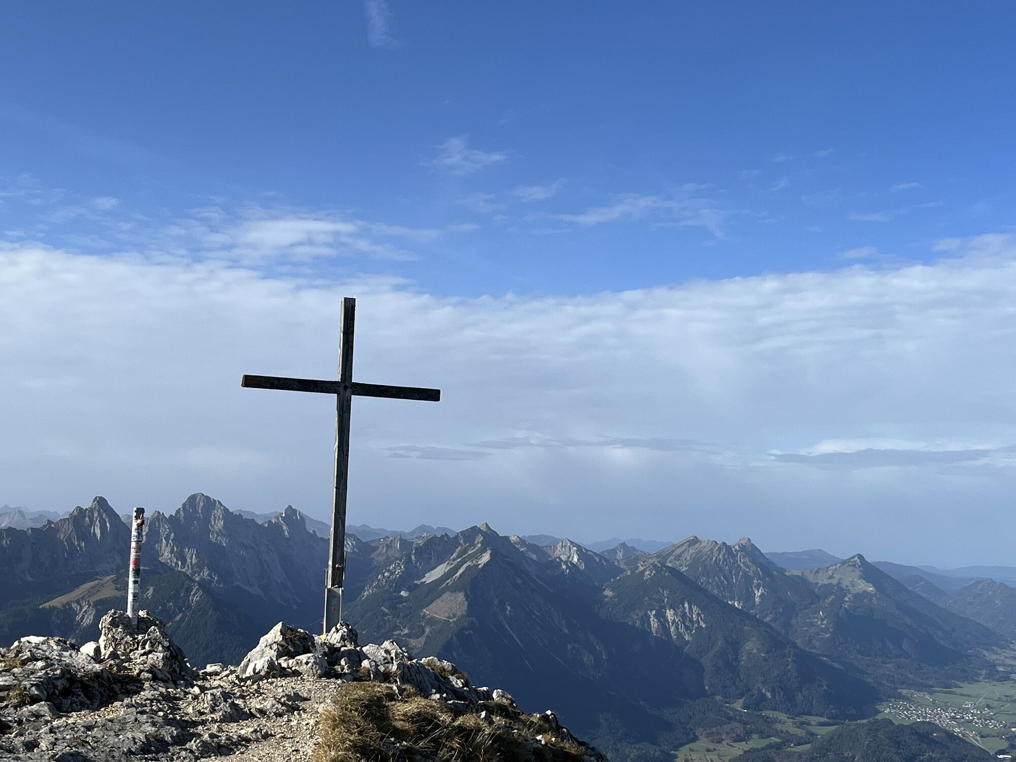
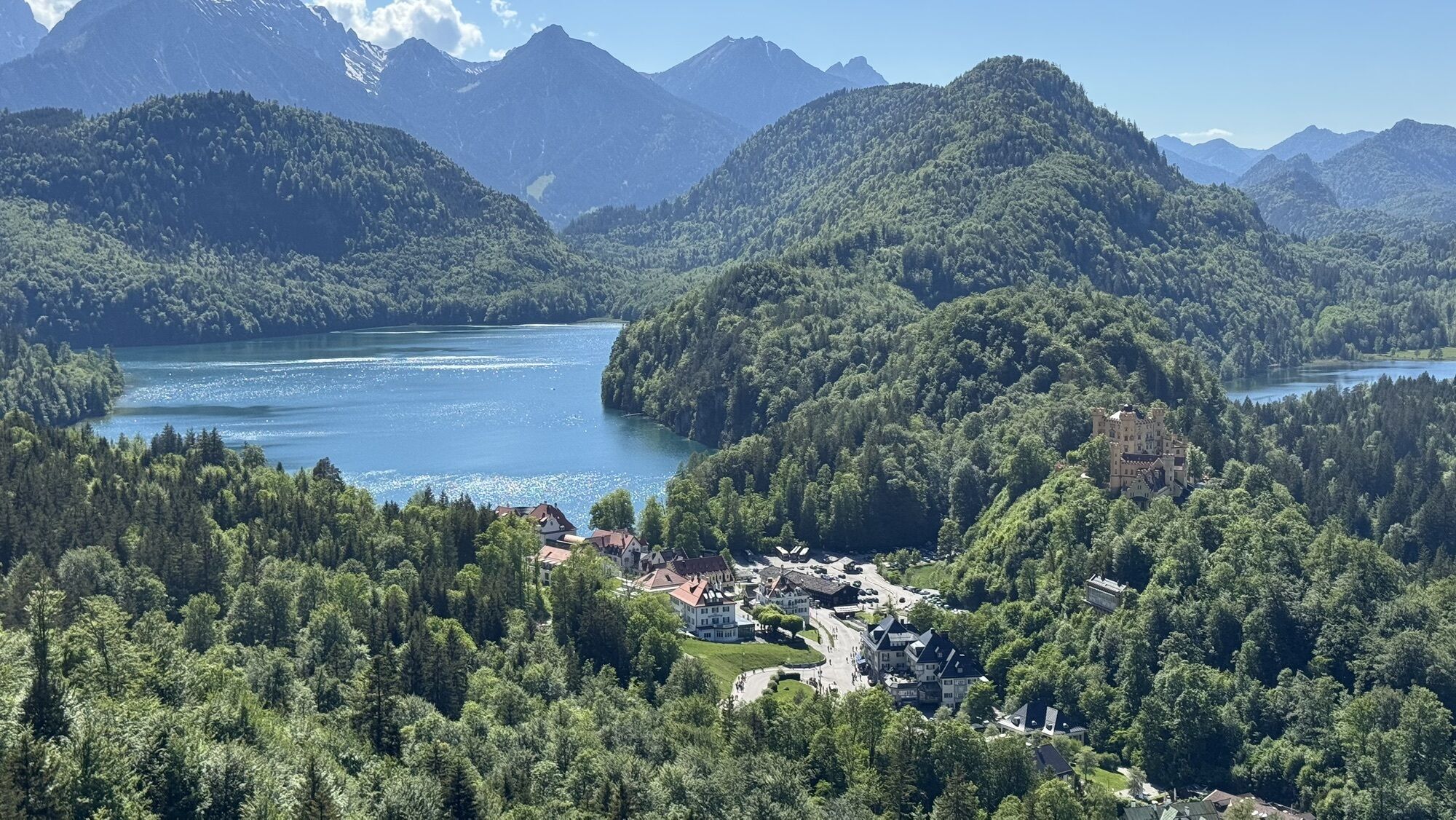
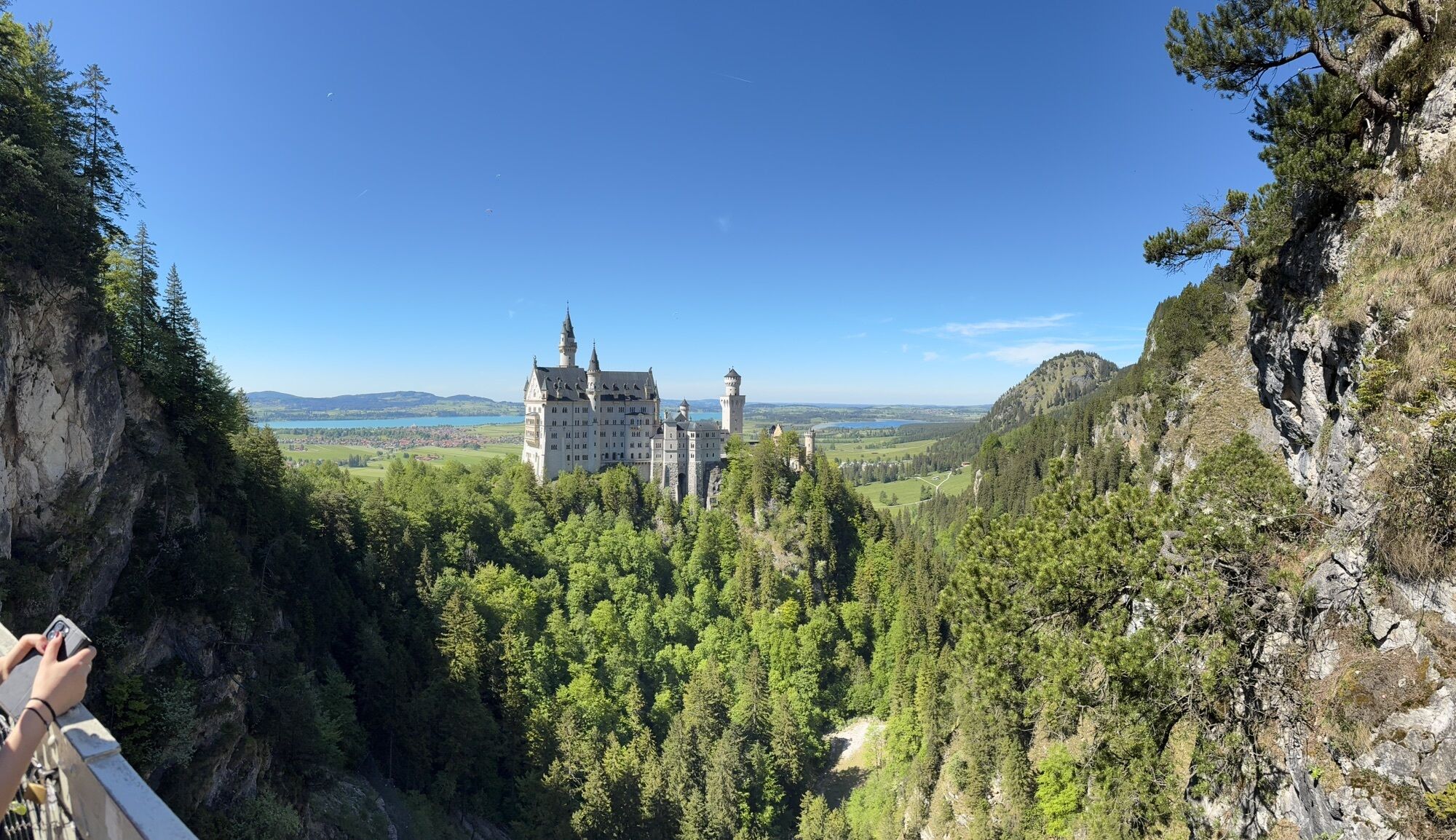
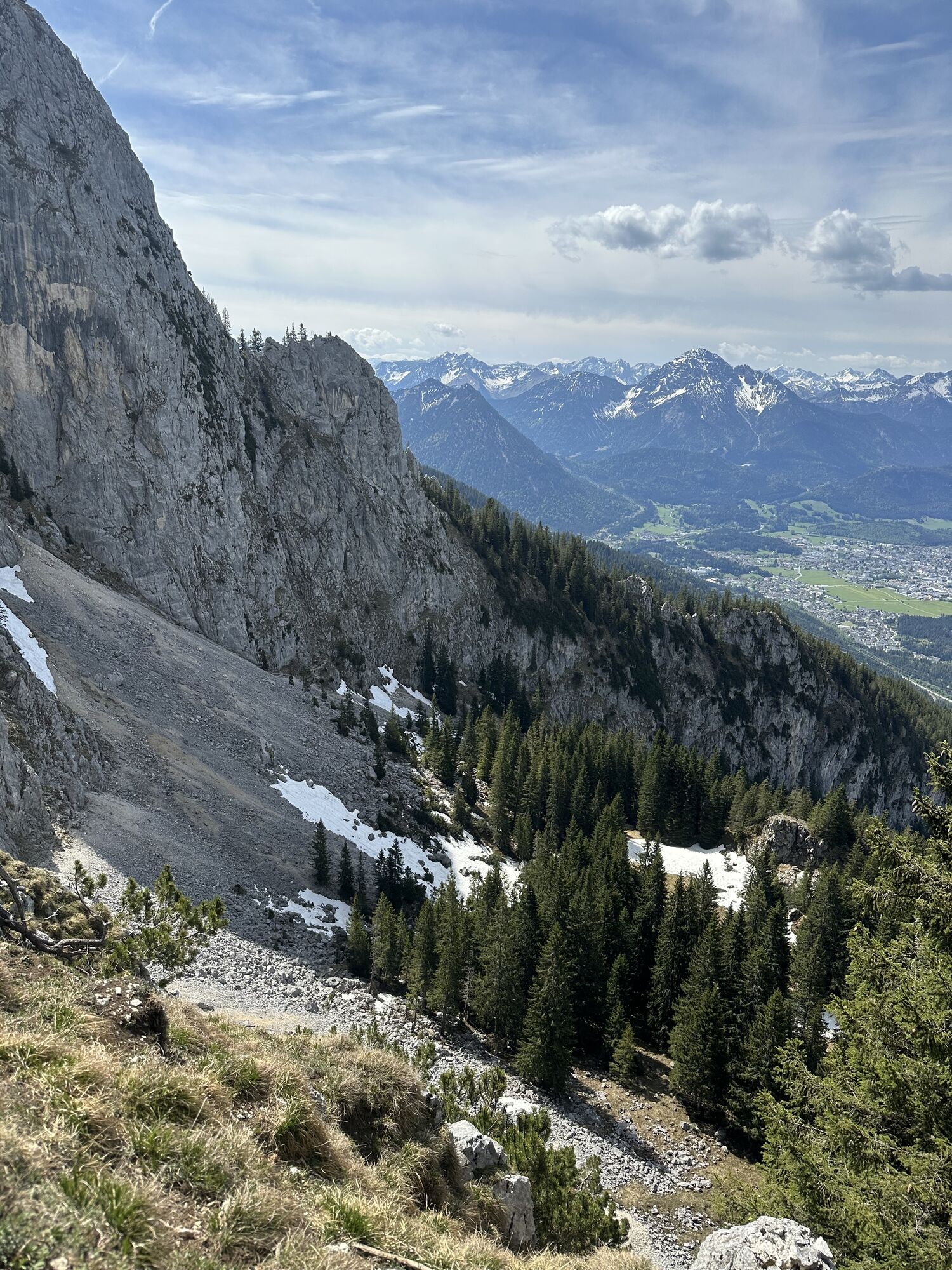
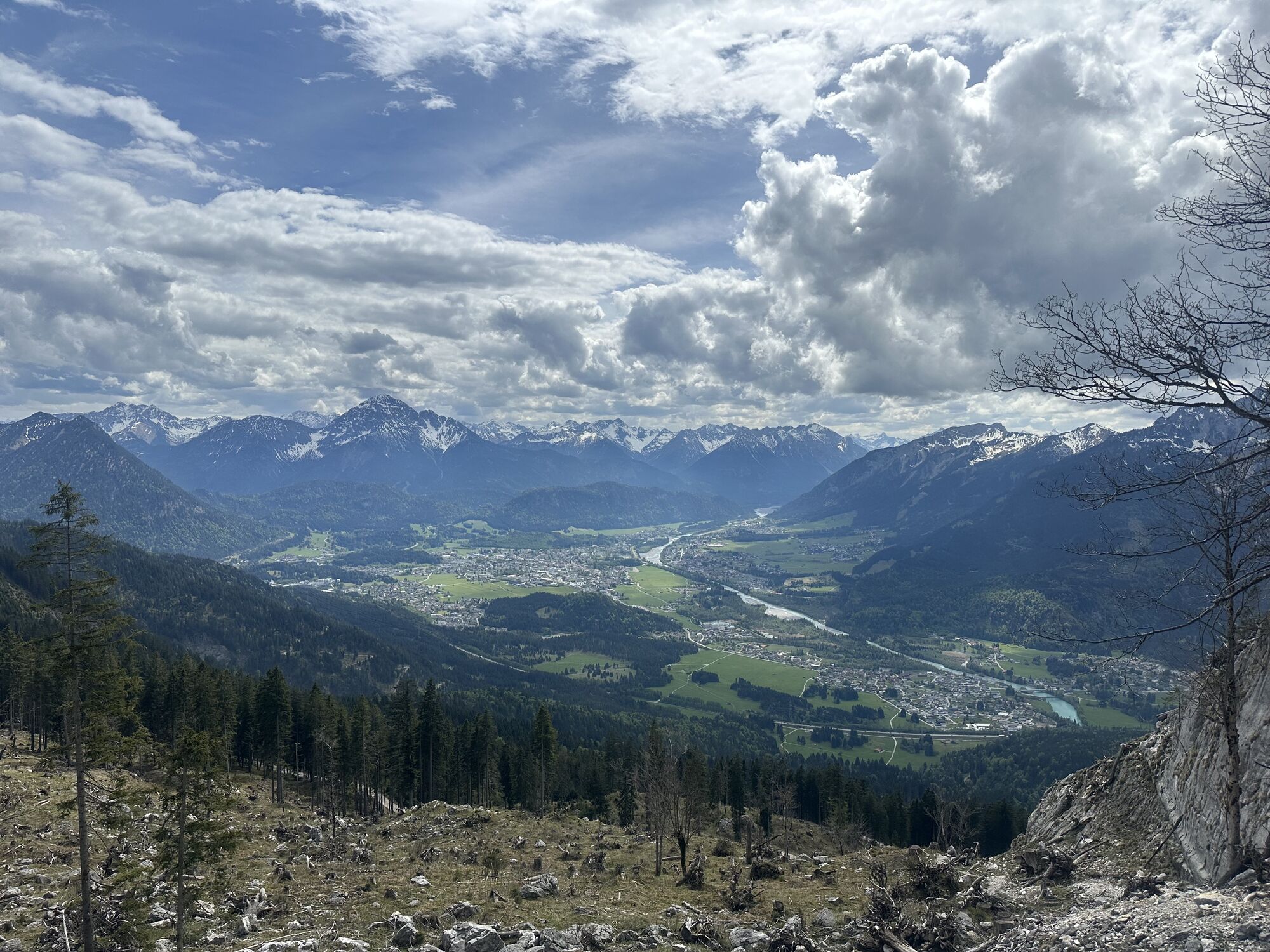
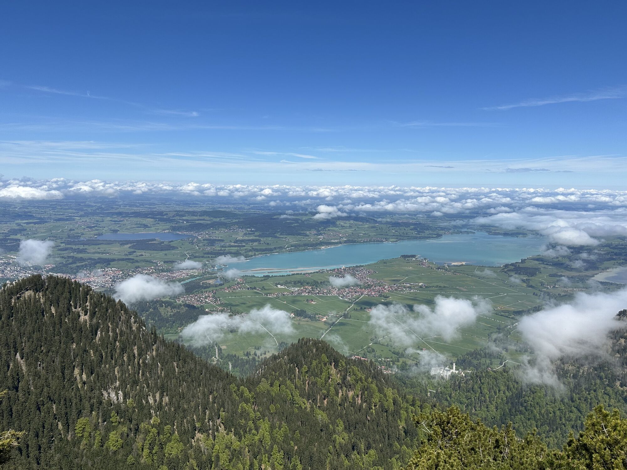
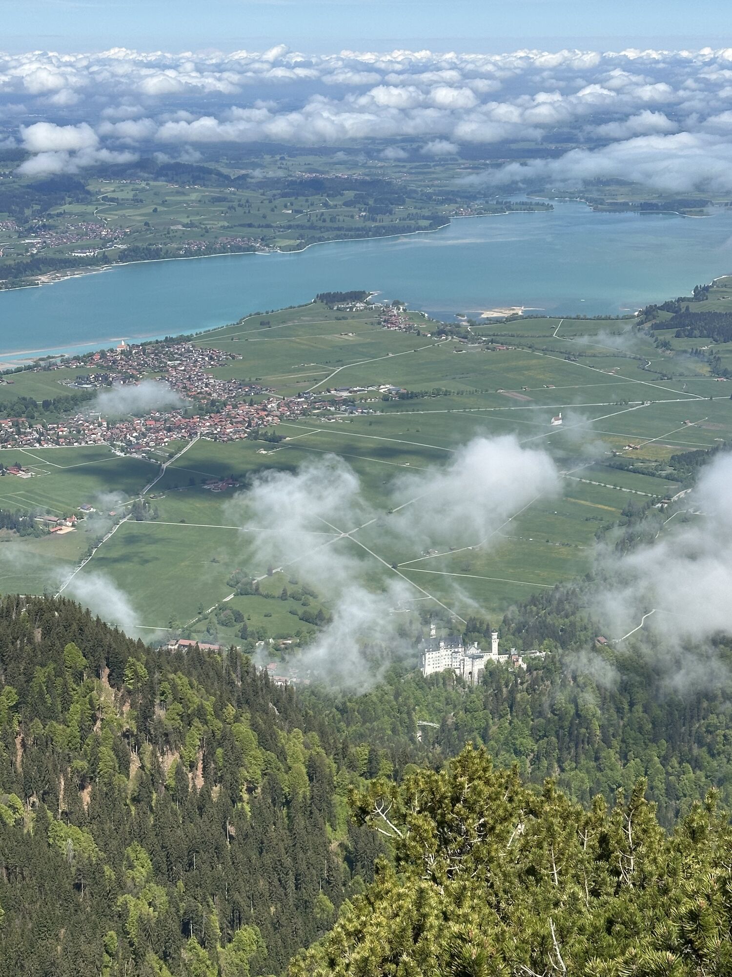
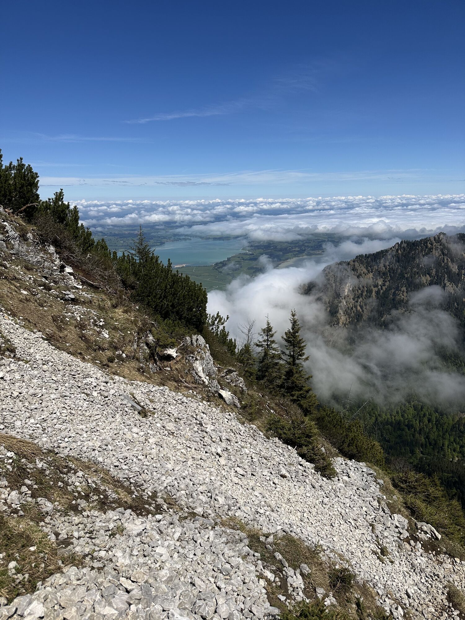
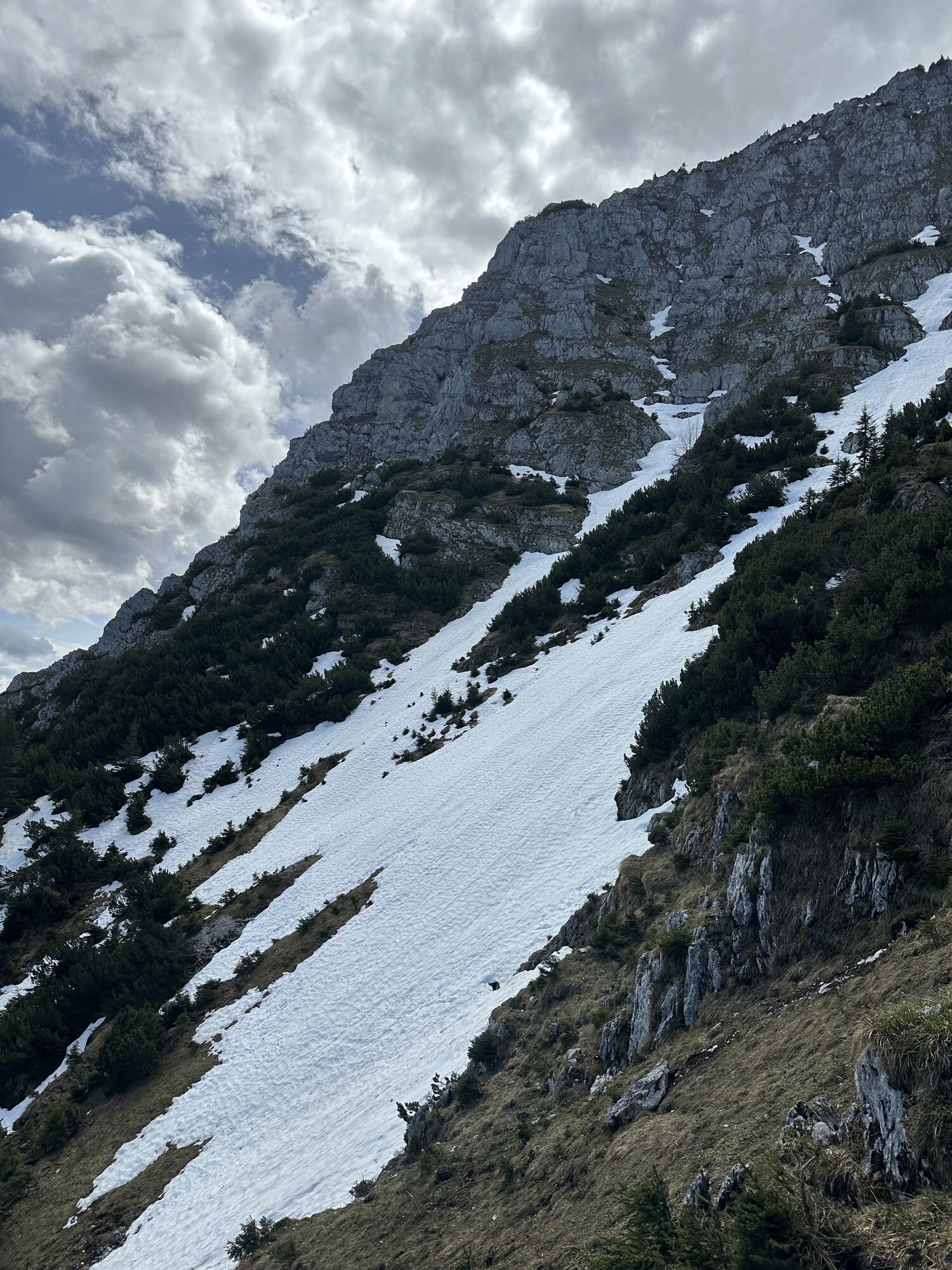
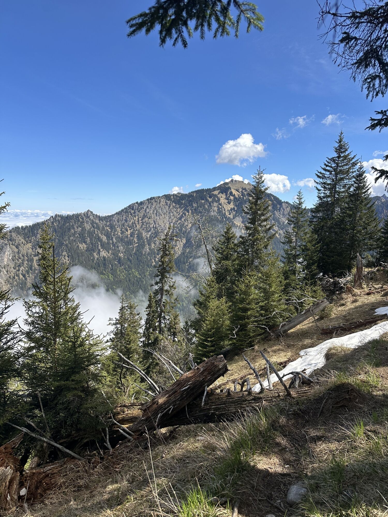
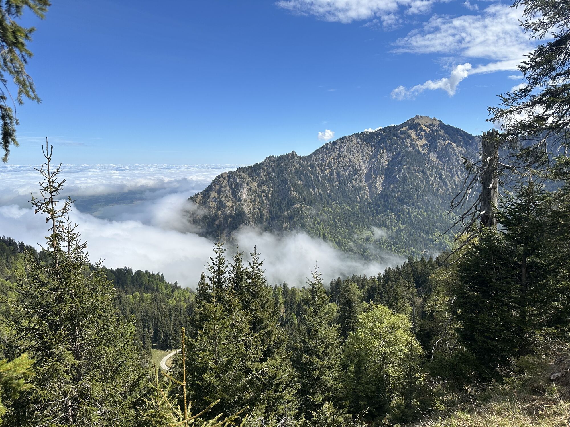
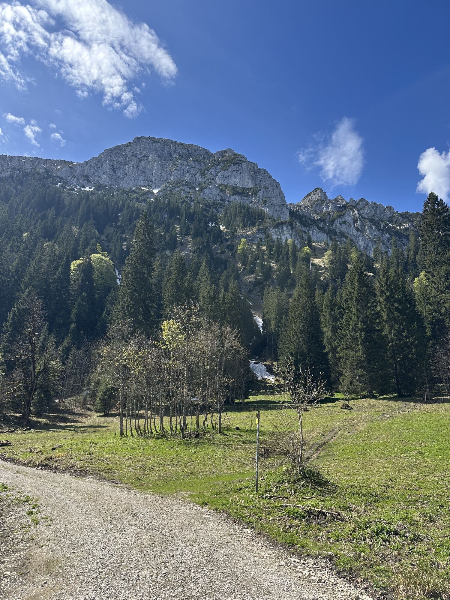
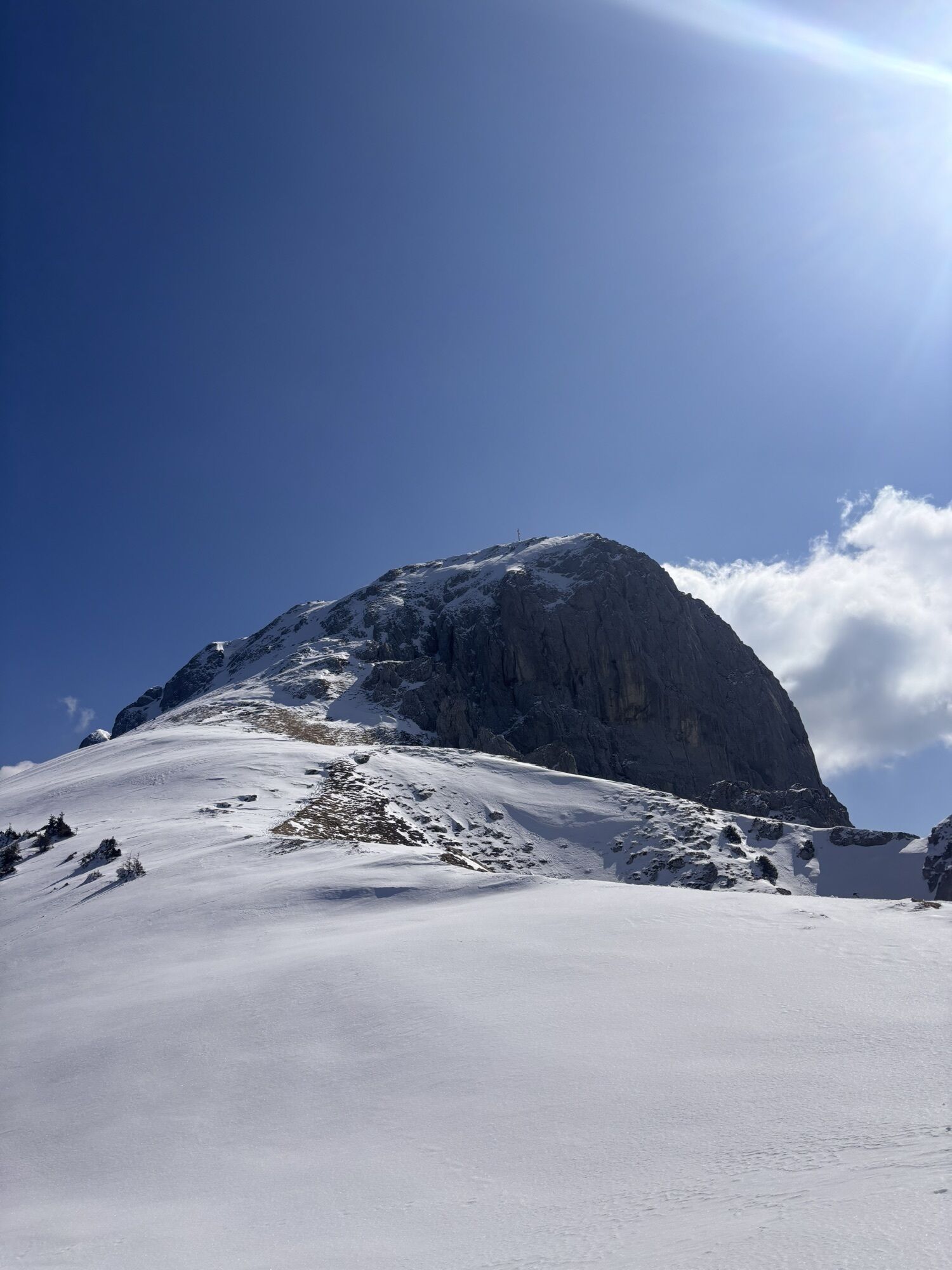
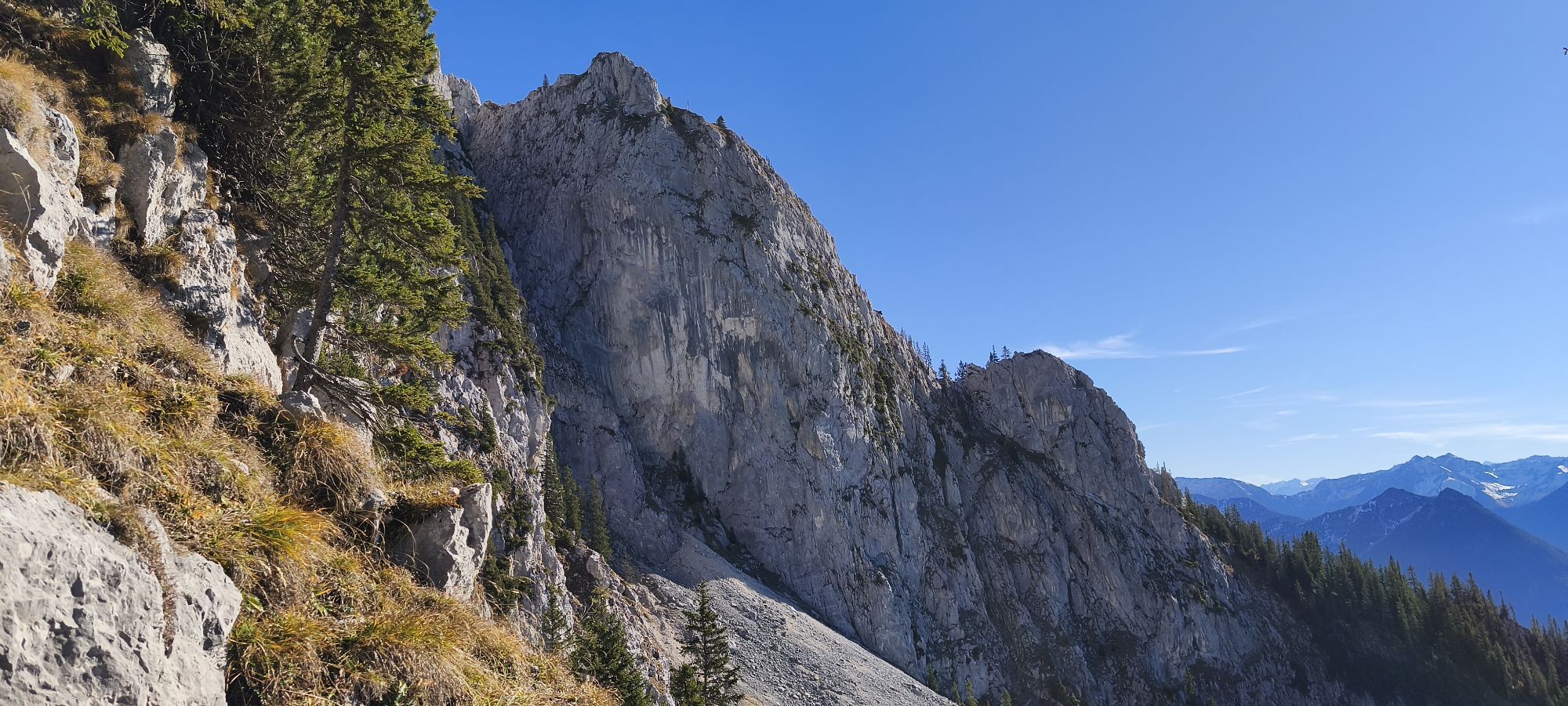

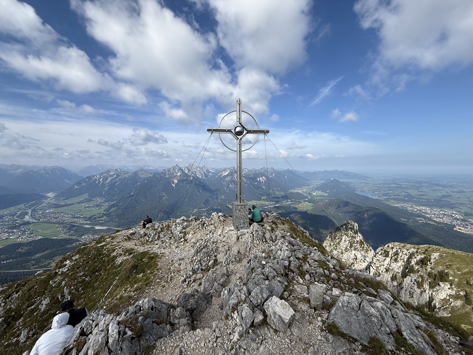
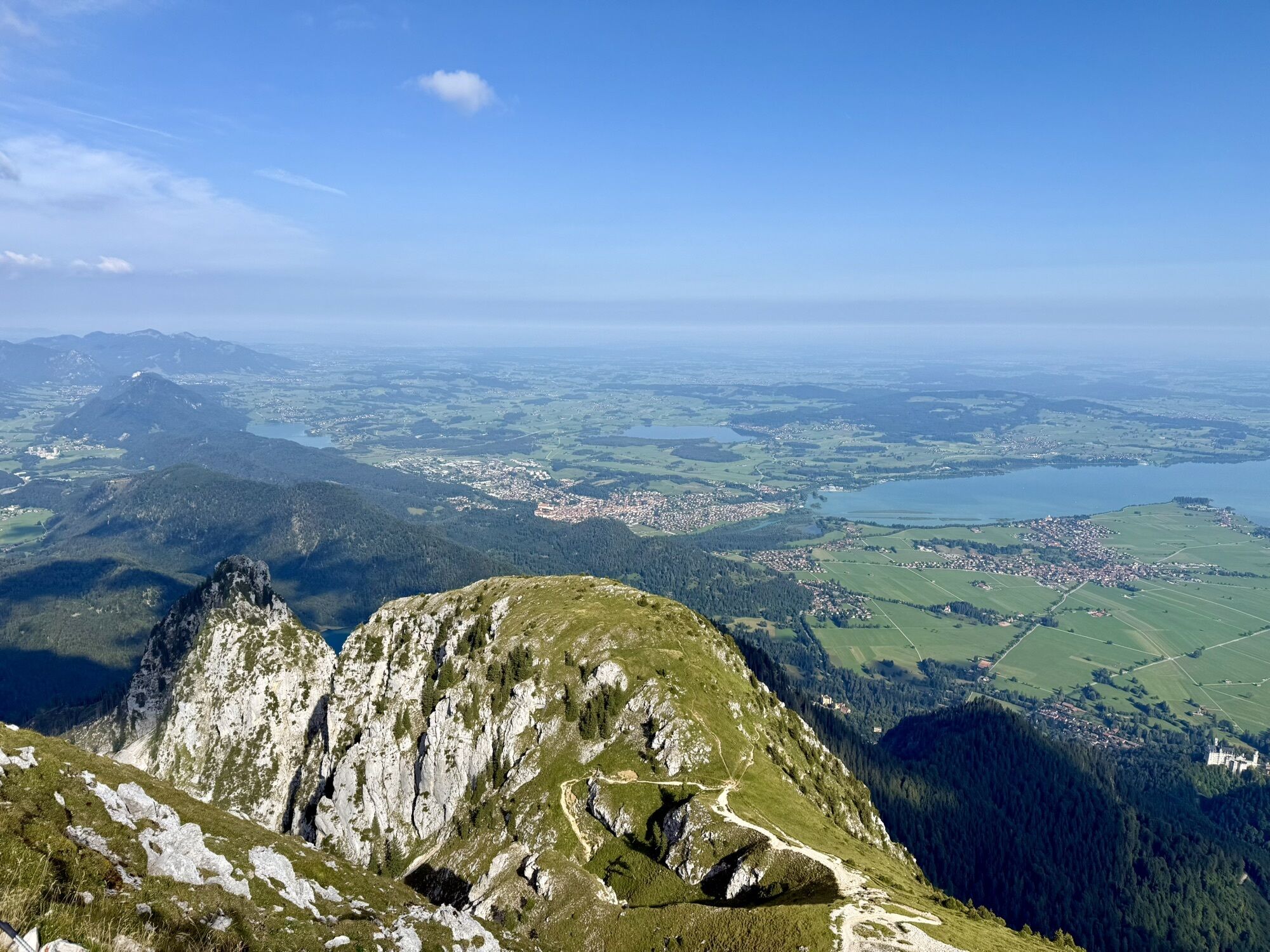
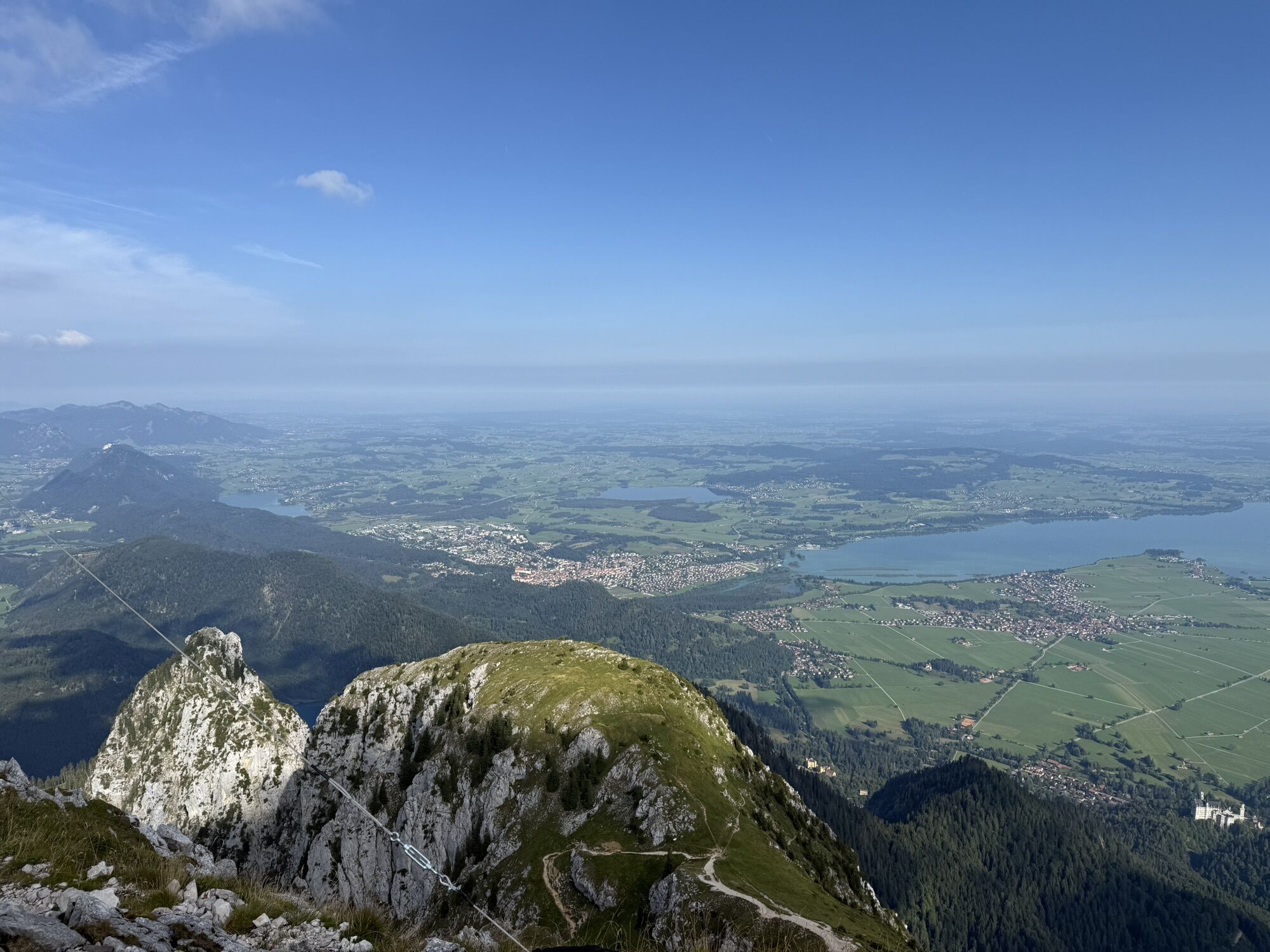
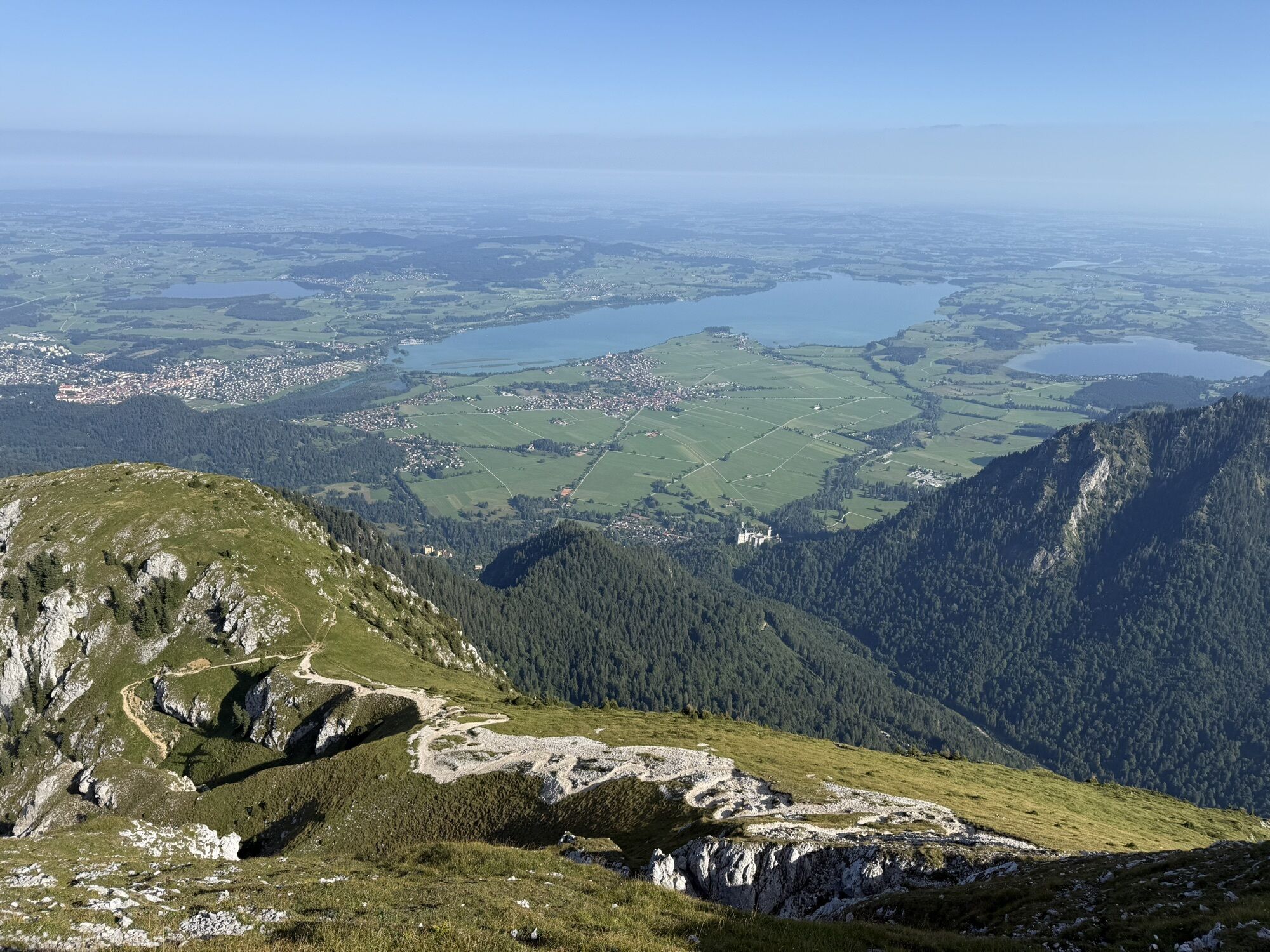
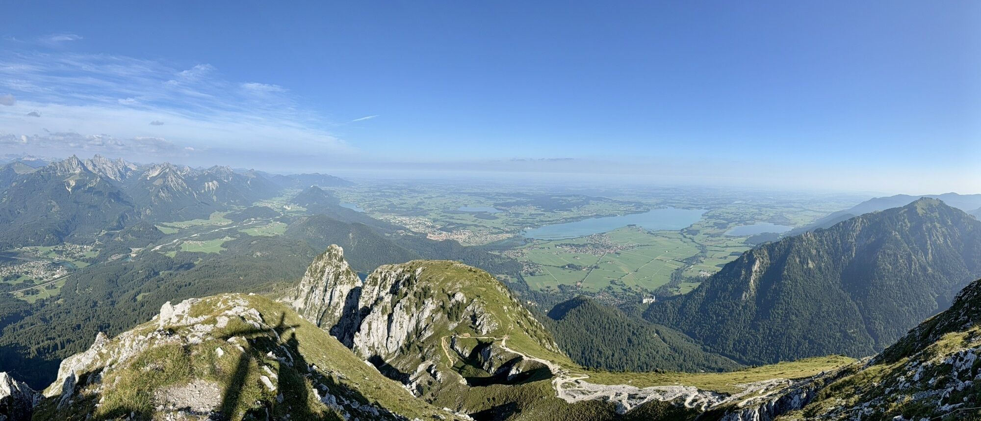
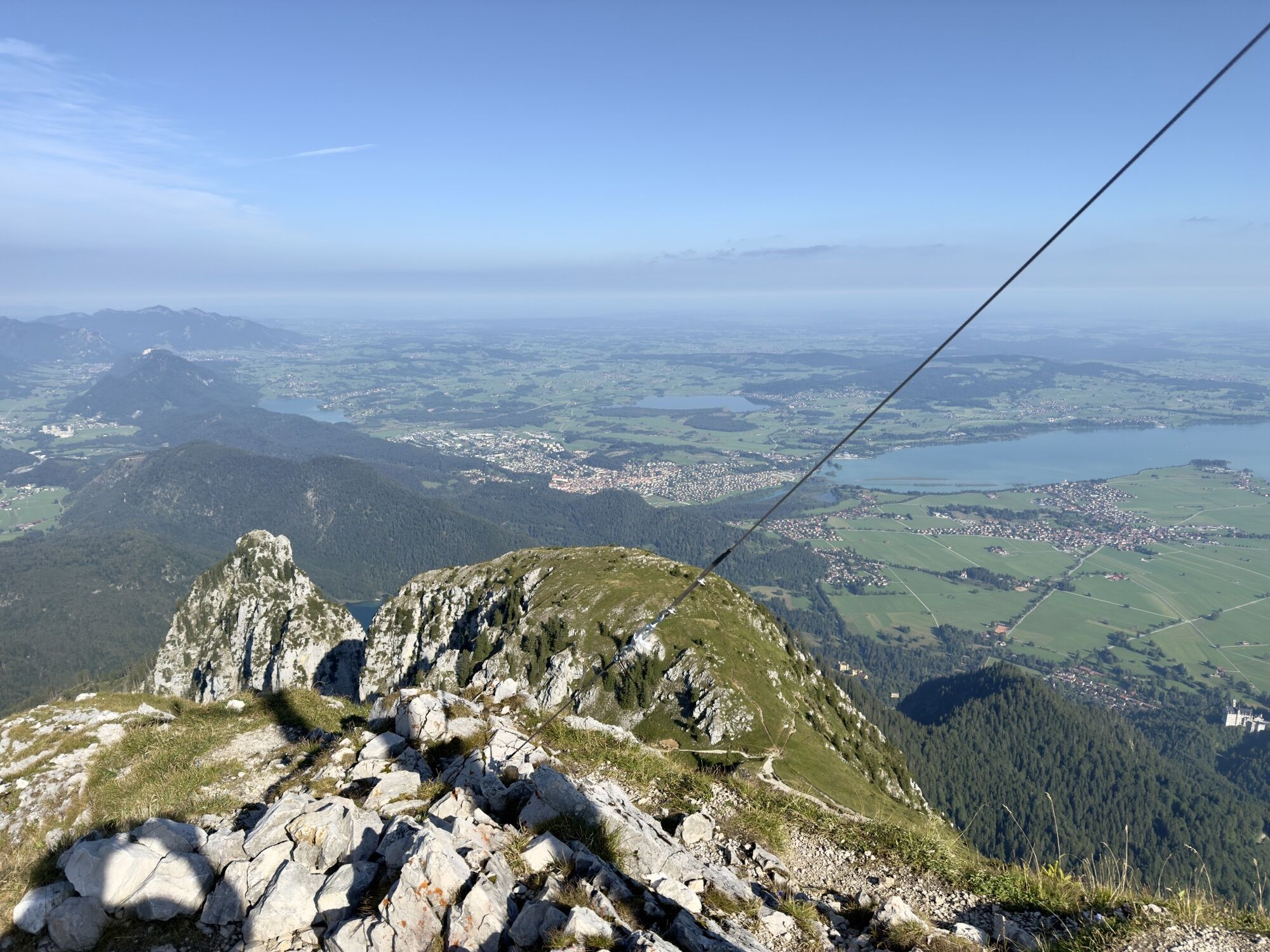

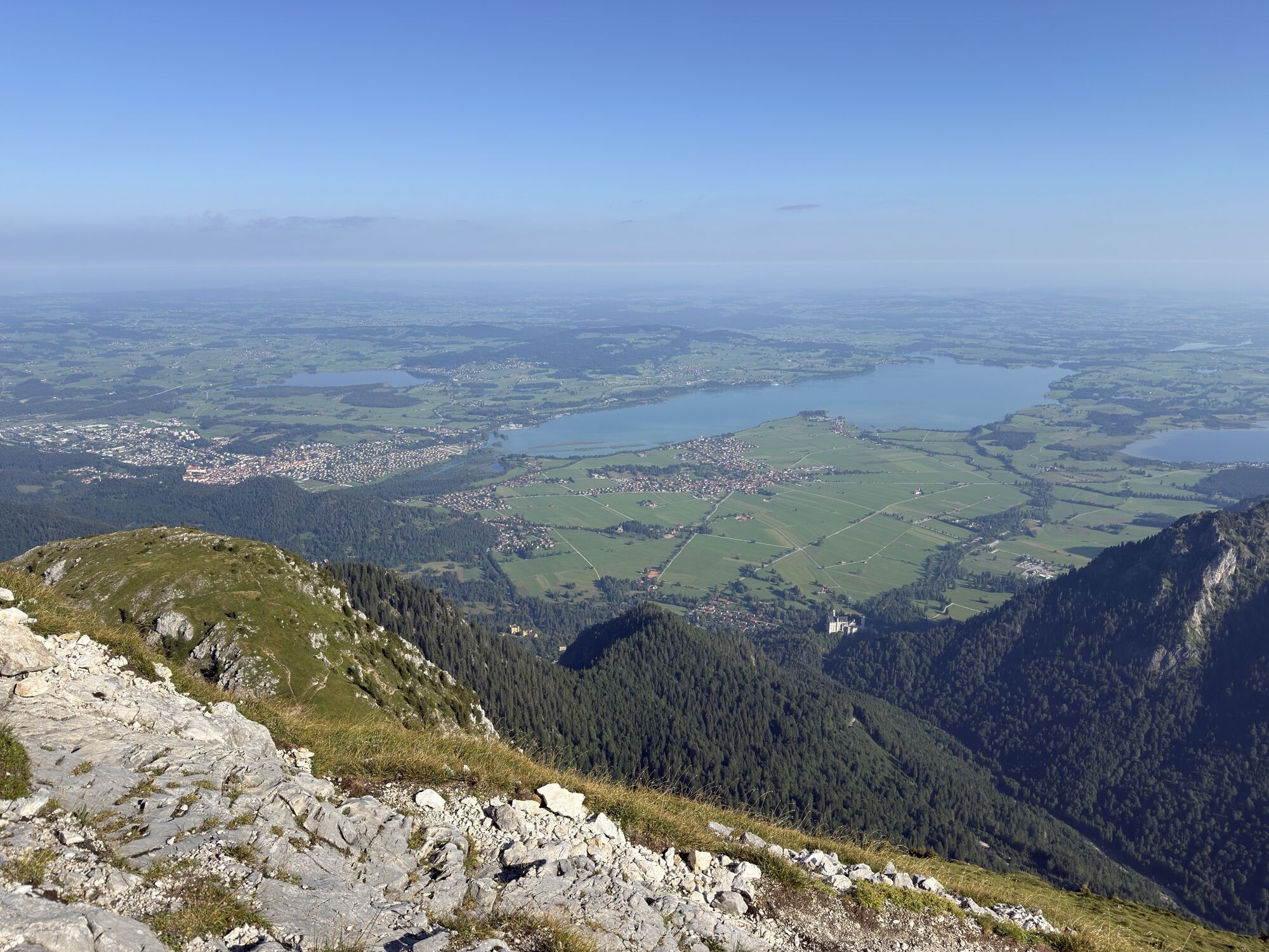
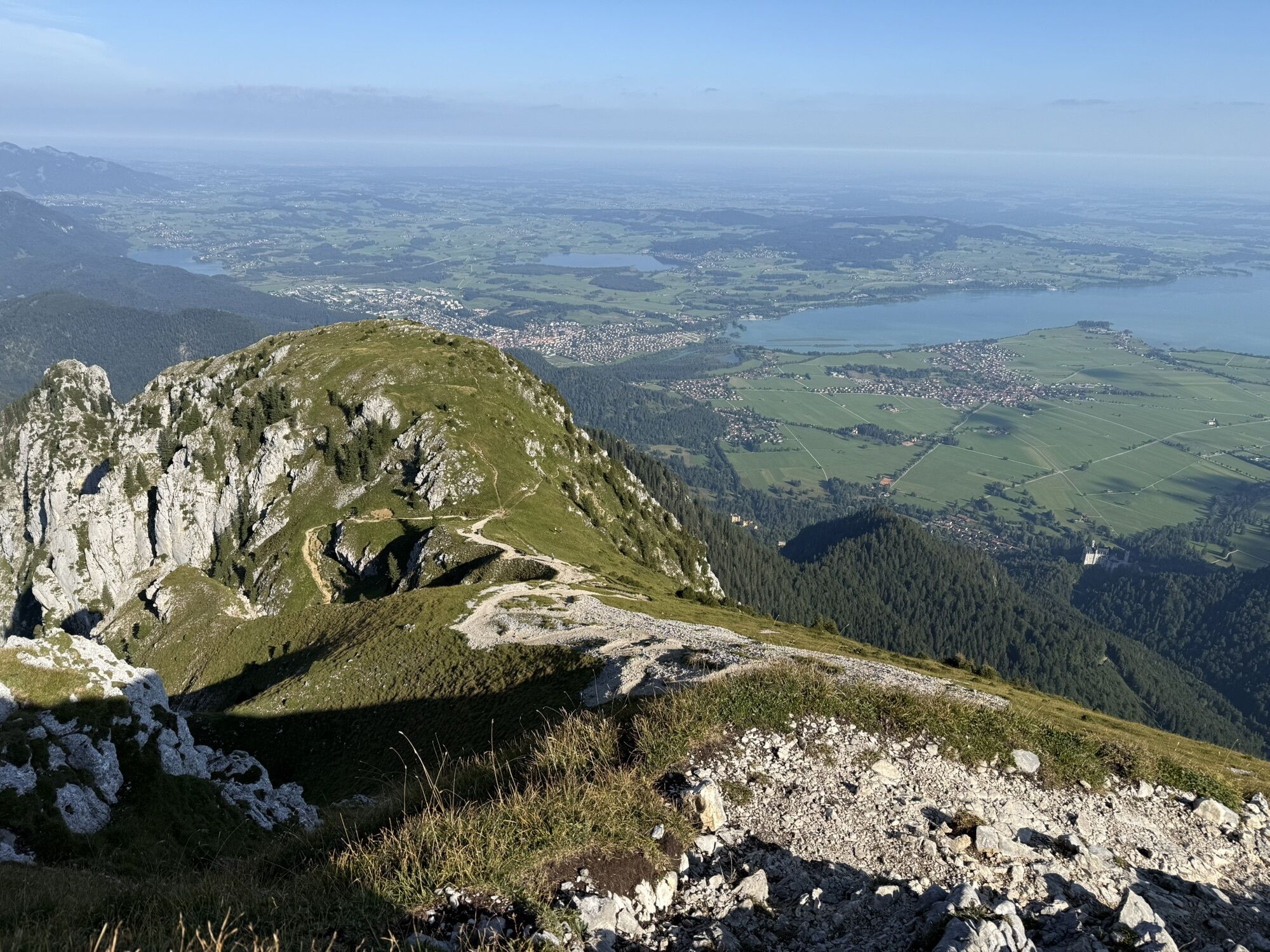
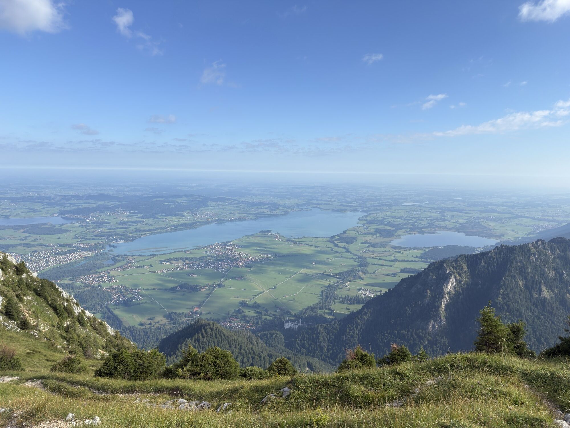
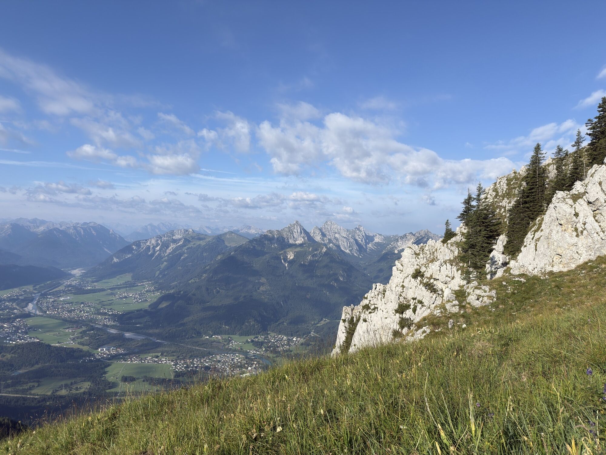


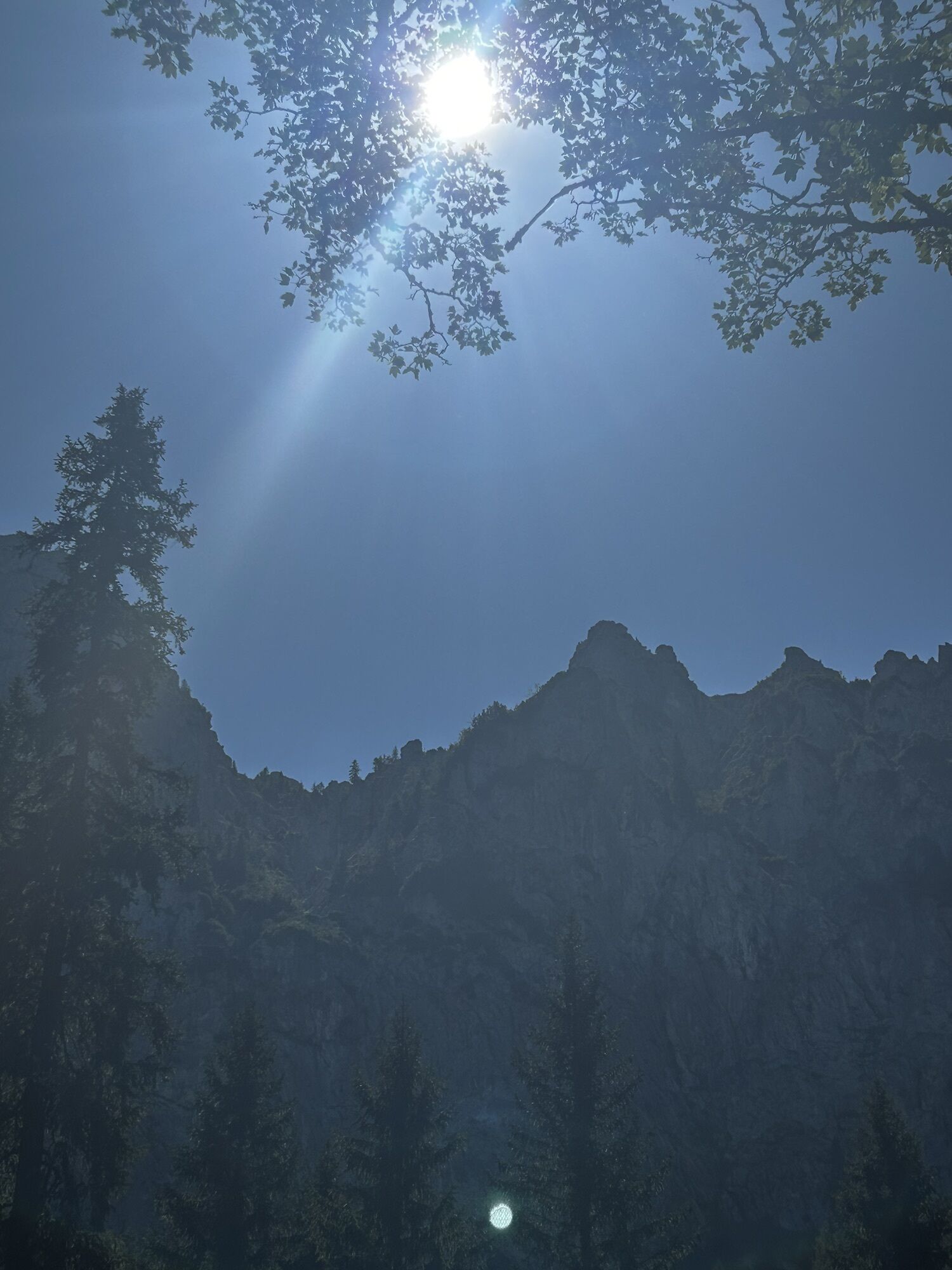
High alpine mountain hike with climbing passages - only for experienced mountain hikers! The foothills of the Alps and parts of the Ammergau, Allgäu and Lechtal Alps can be seen from the Säuling.

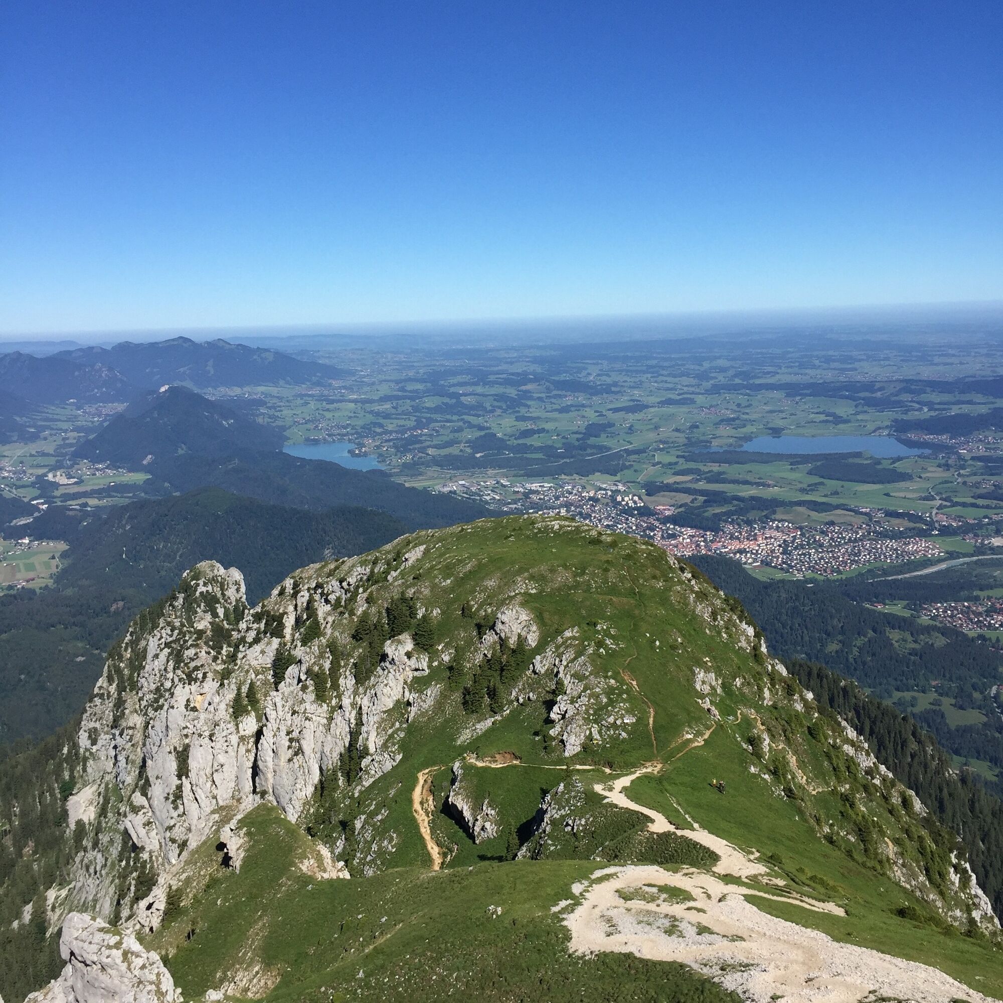
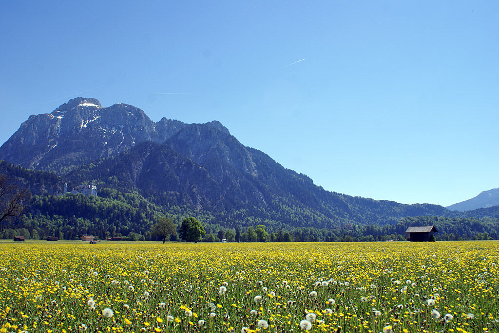
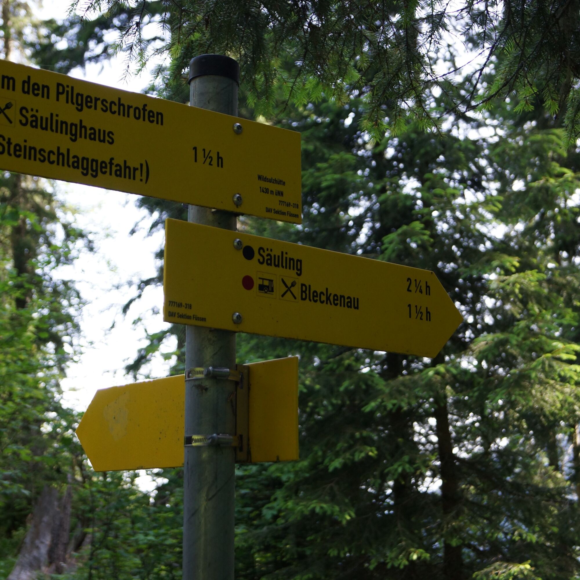
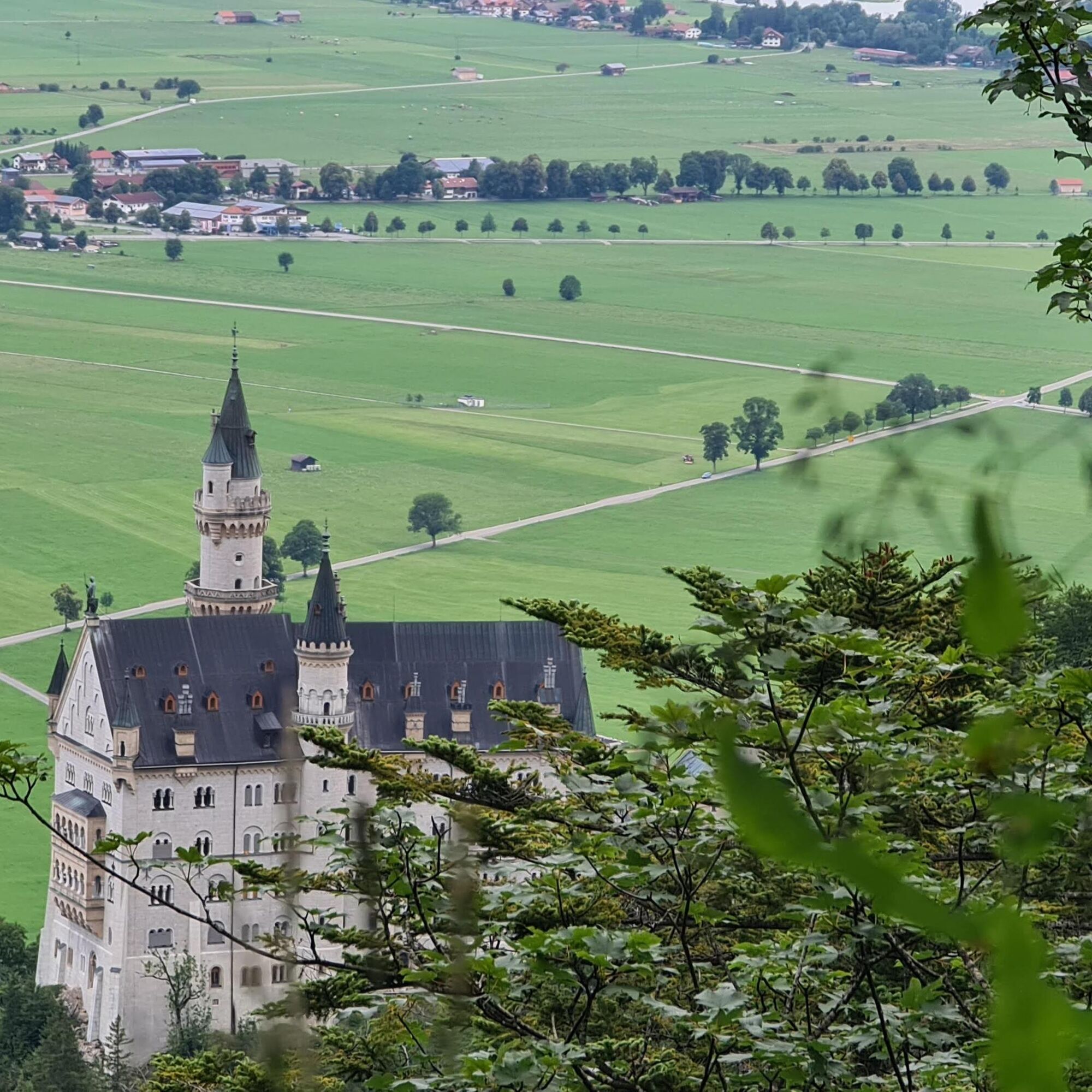

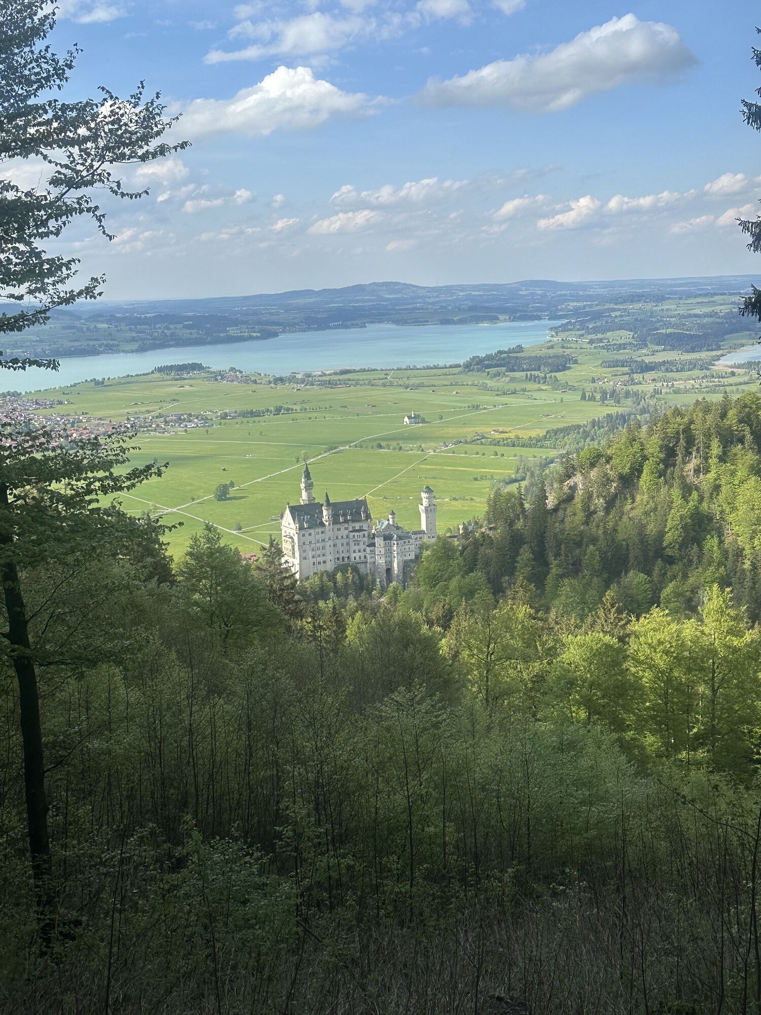
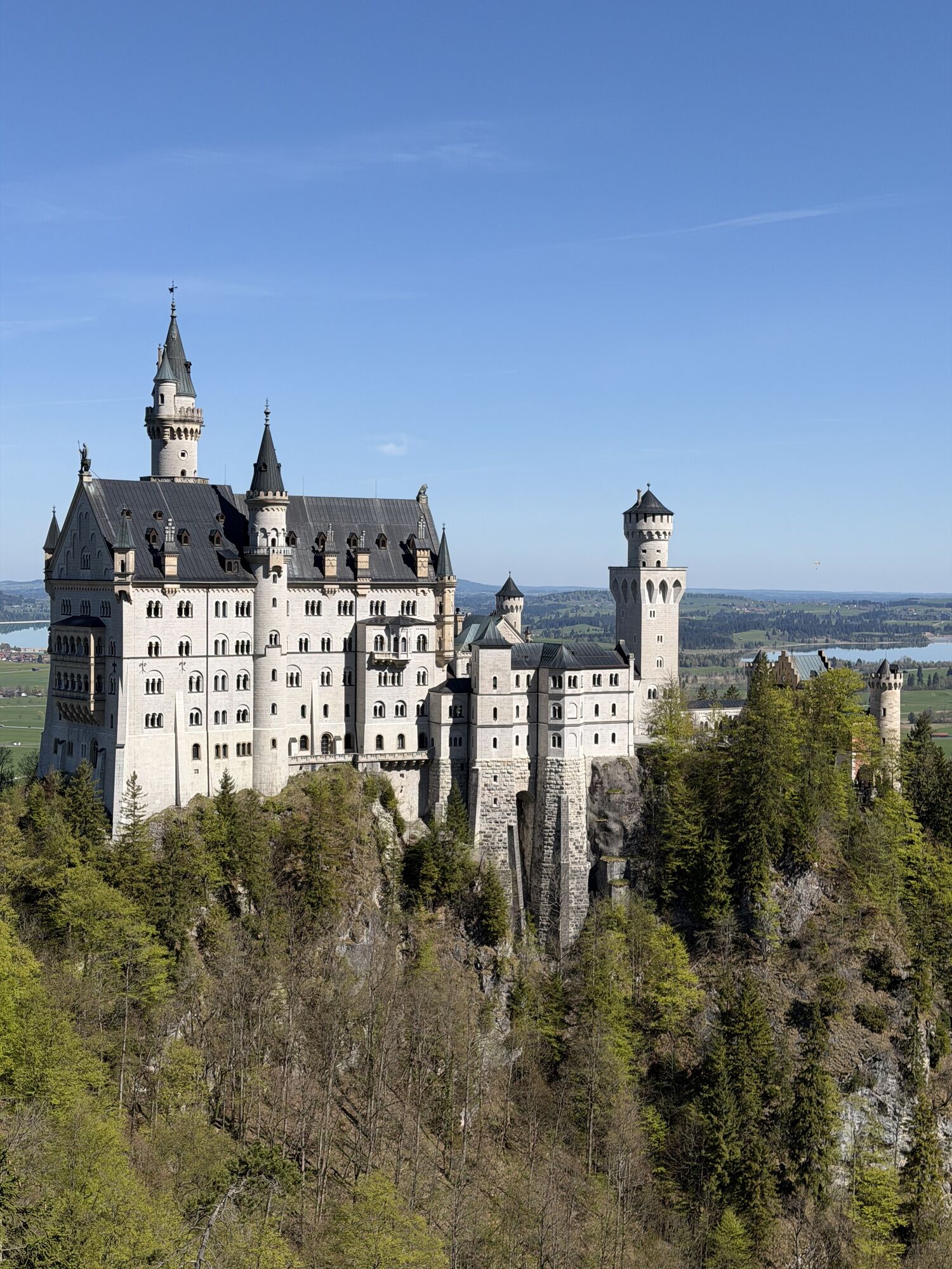
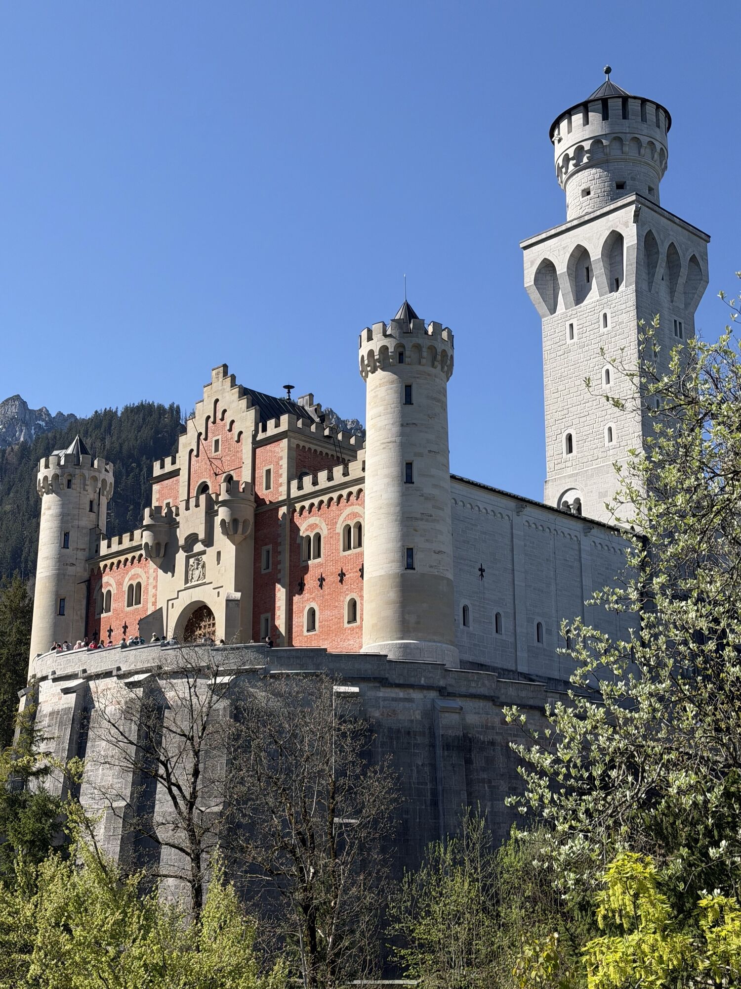
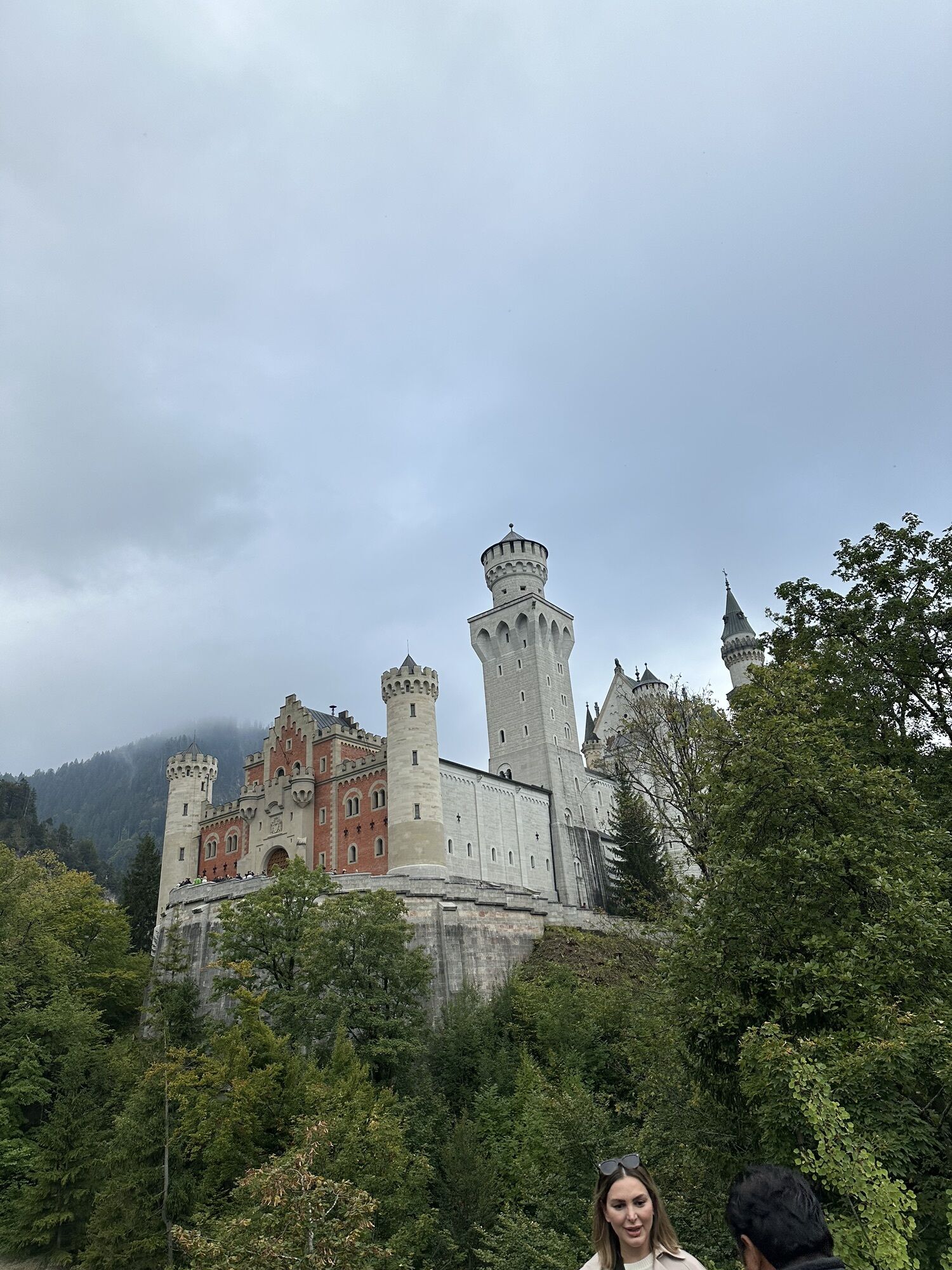
From the P3 parking lot in Hohenschwangau, the trail first leads via Neuschwanstein Castle to the "Jugend" bus stop. From there, follow the forest path (Brunnstubenweg/Wasserleitungsweg) for about 400 meters before following the signpost "Säuling 3,5 Std." to the right in the direction of Älpele.
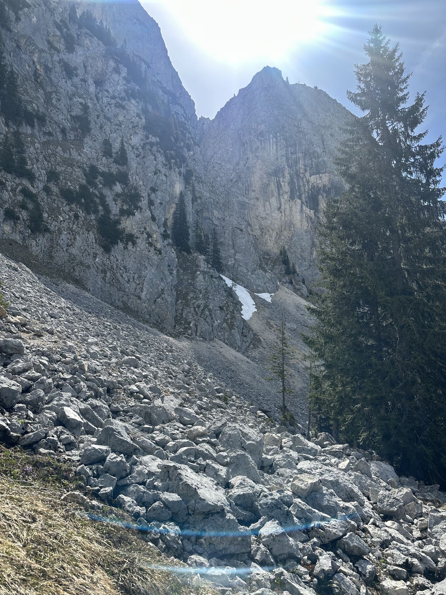
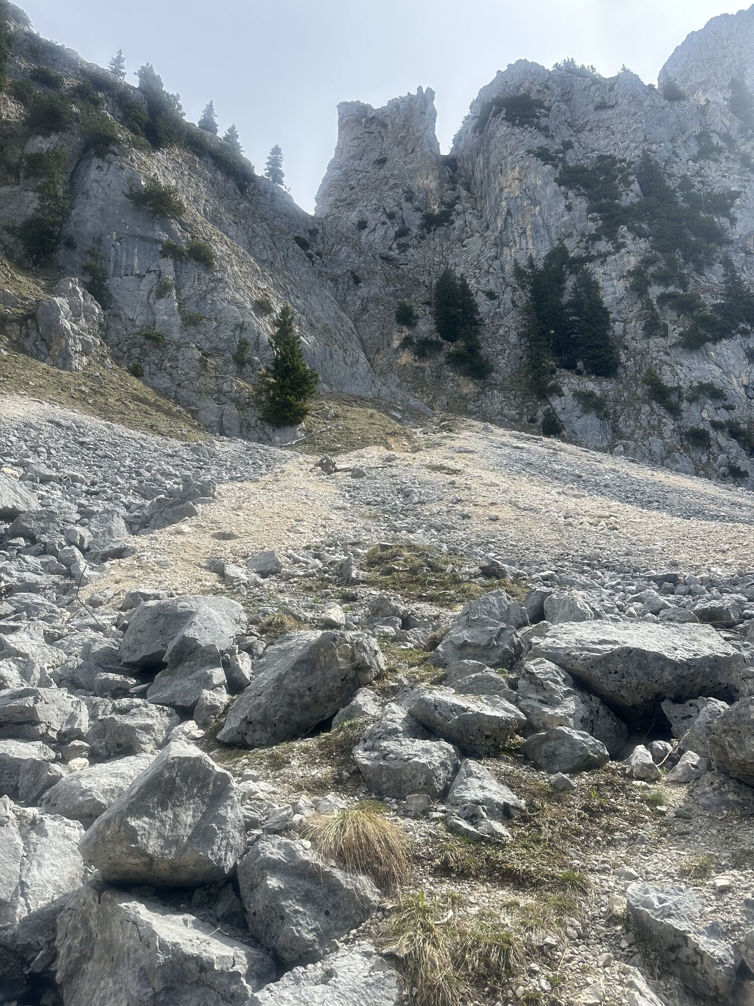
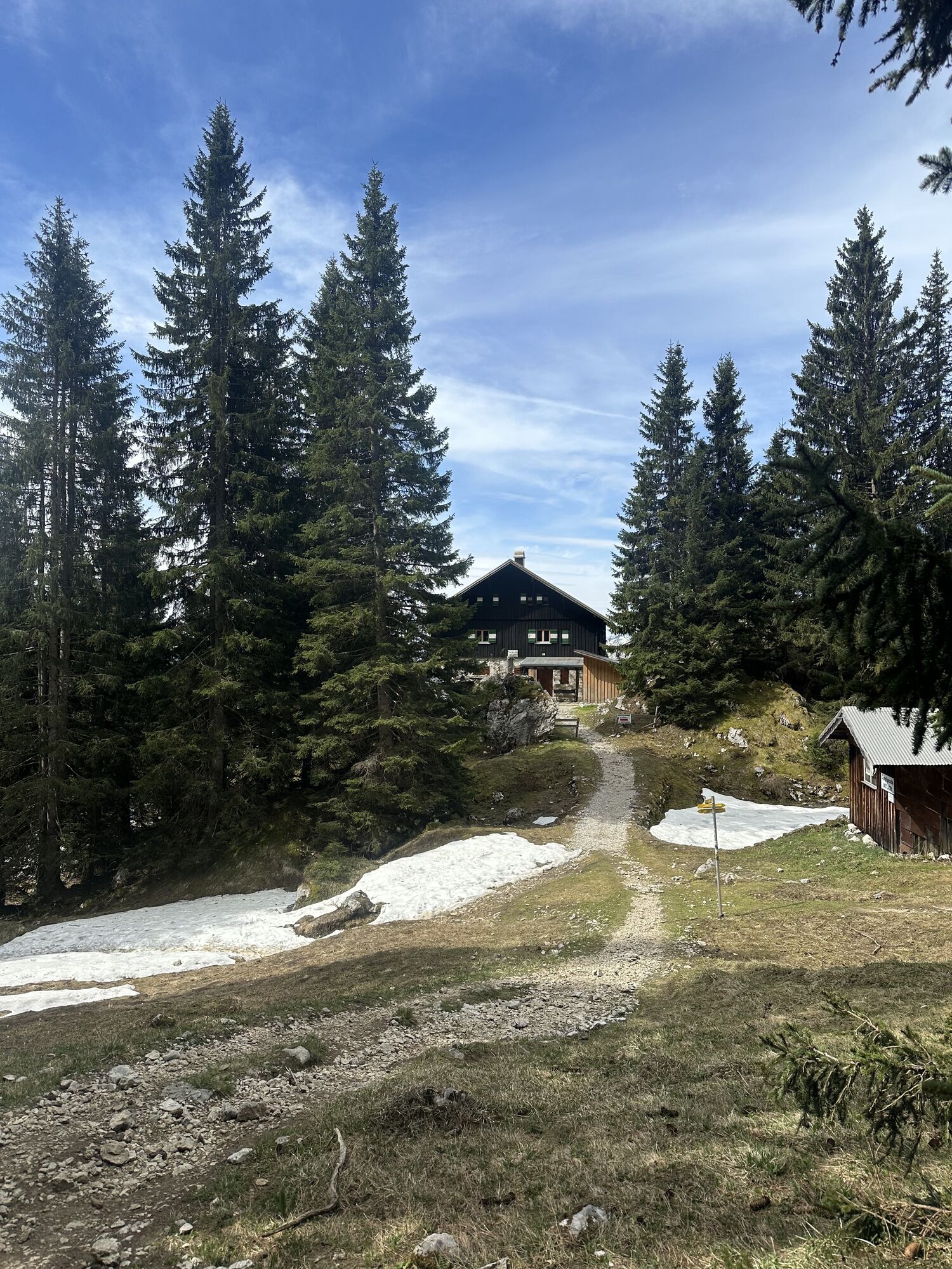
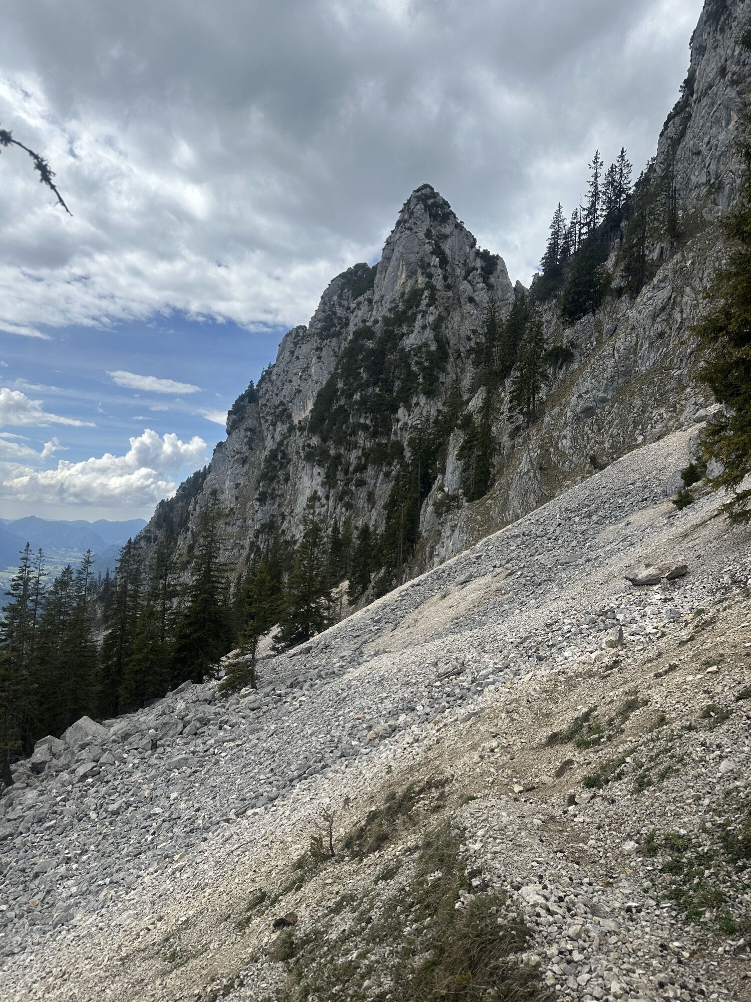
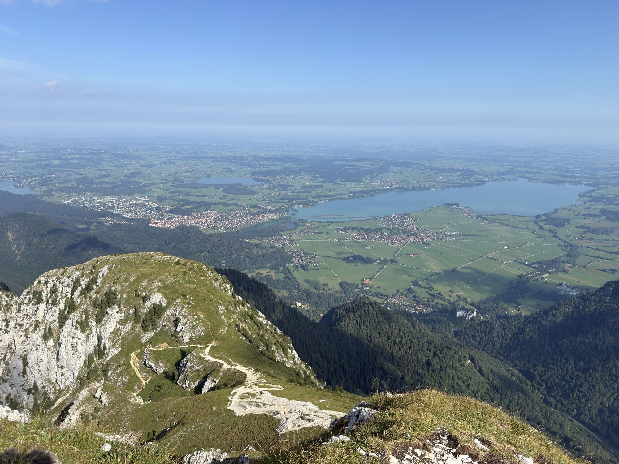
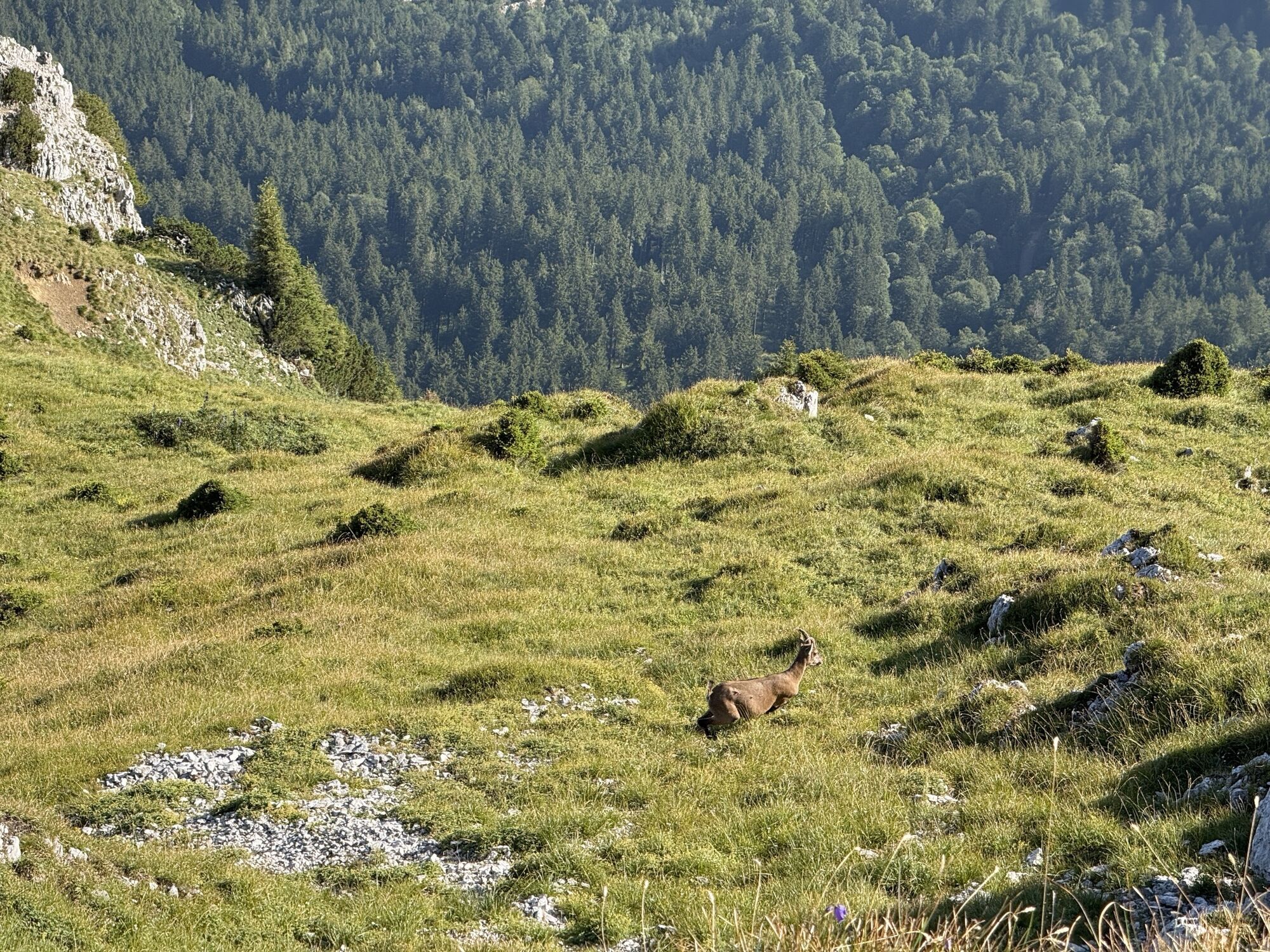
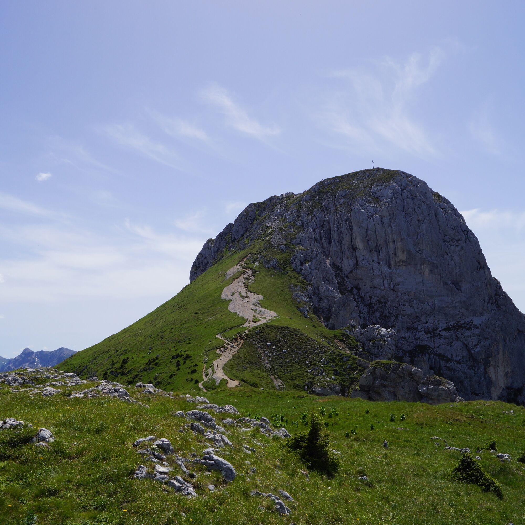
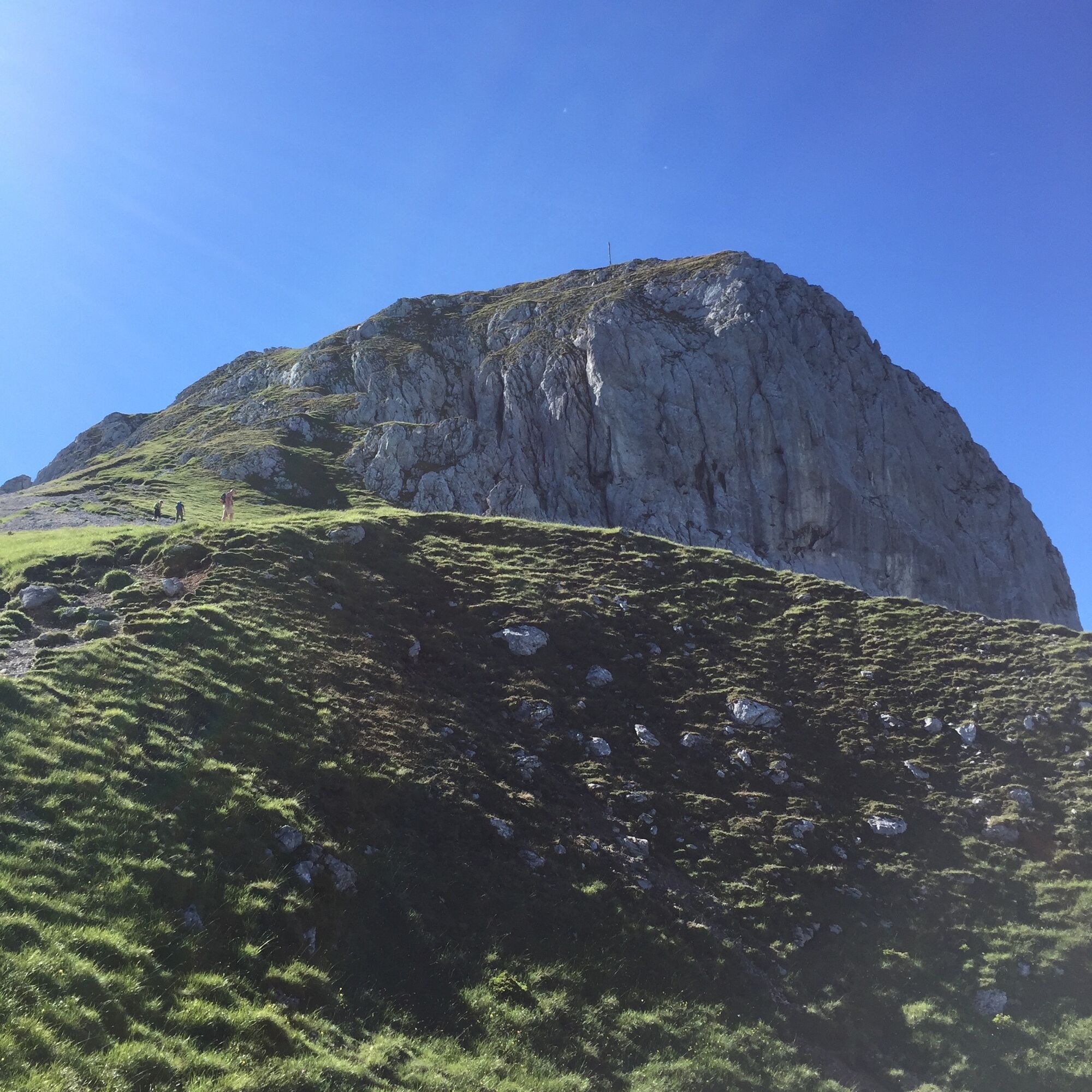
From the Älpele, a mountain path leads to the Wildsulzhütte. There the path to Säuling branches off to the left. After reaching the tree line, the first easy climbing section begins - a short iron ladder helps you over a more difficult passage. The route continues through rugged terrain with several short, well-secured climbing passages to the Säulingwiese (also known as Gamswiese). Here you can enjoy an impressive view over the Alpine foothills.
The last 150 meters to the summit require surefootedness and a head for heights - but the view of the panorama of the Ammergau, Allgäu and Lechtal Alps rewards you for all your efforts.
After a well-earned rest at the summit, you return along the same route to the turn-off to Säulinghaus on the Austrian side. After a short descent with some easy climbing, you reach the refuge - a good opportunity for another rest.
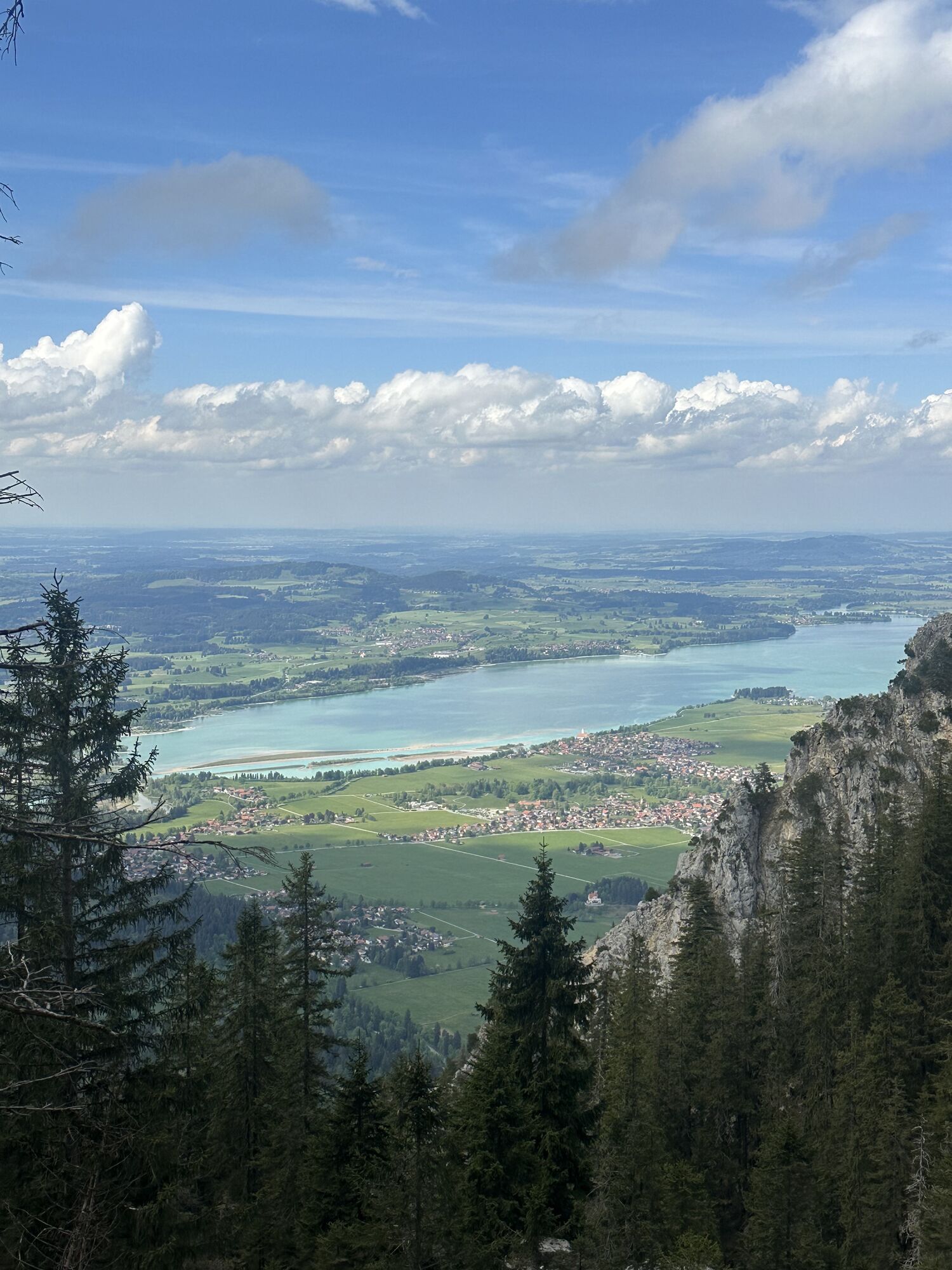
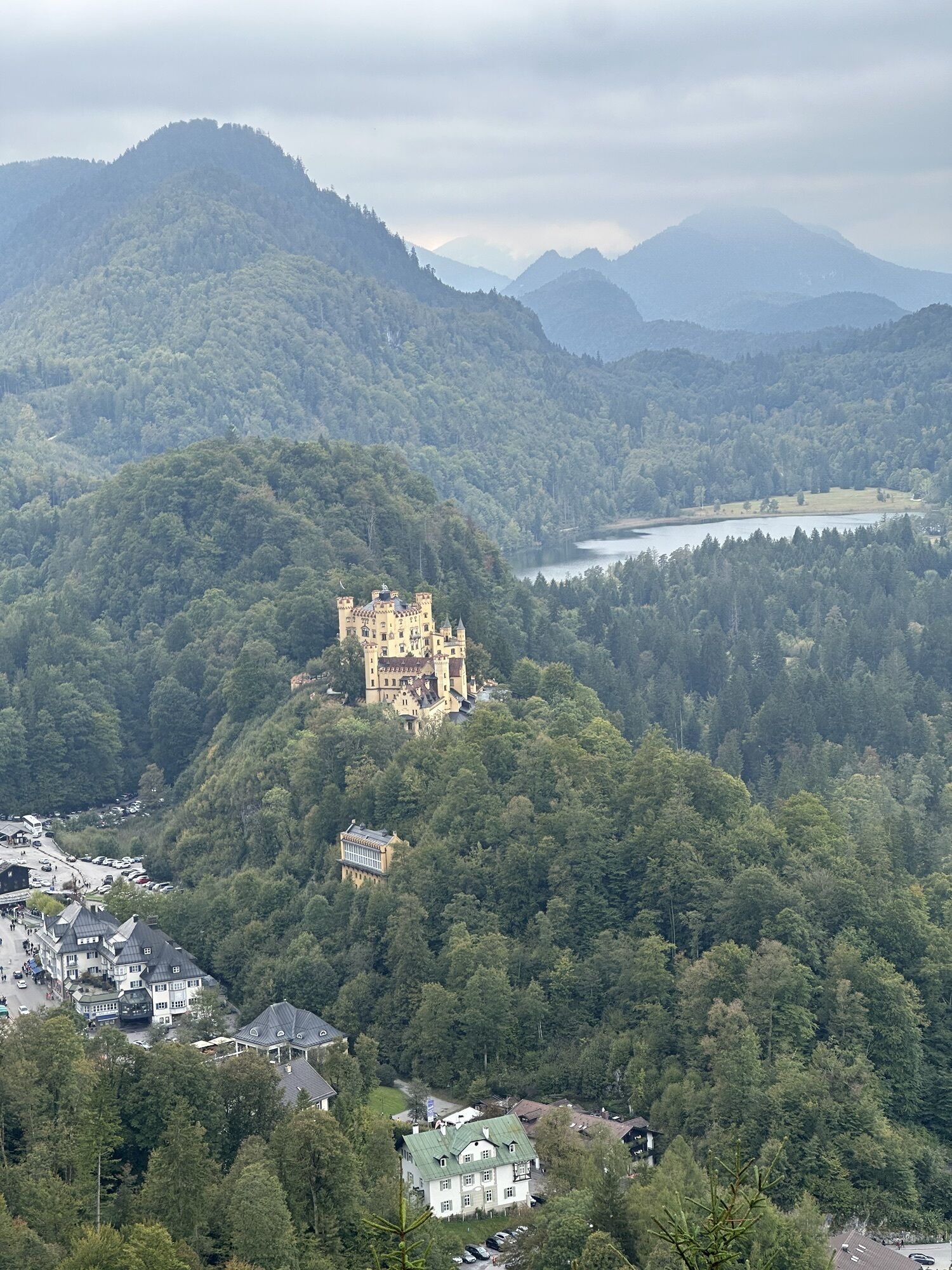
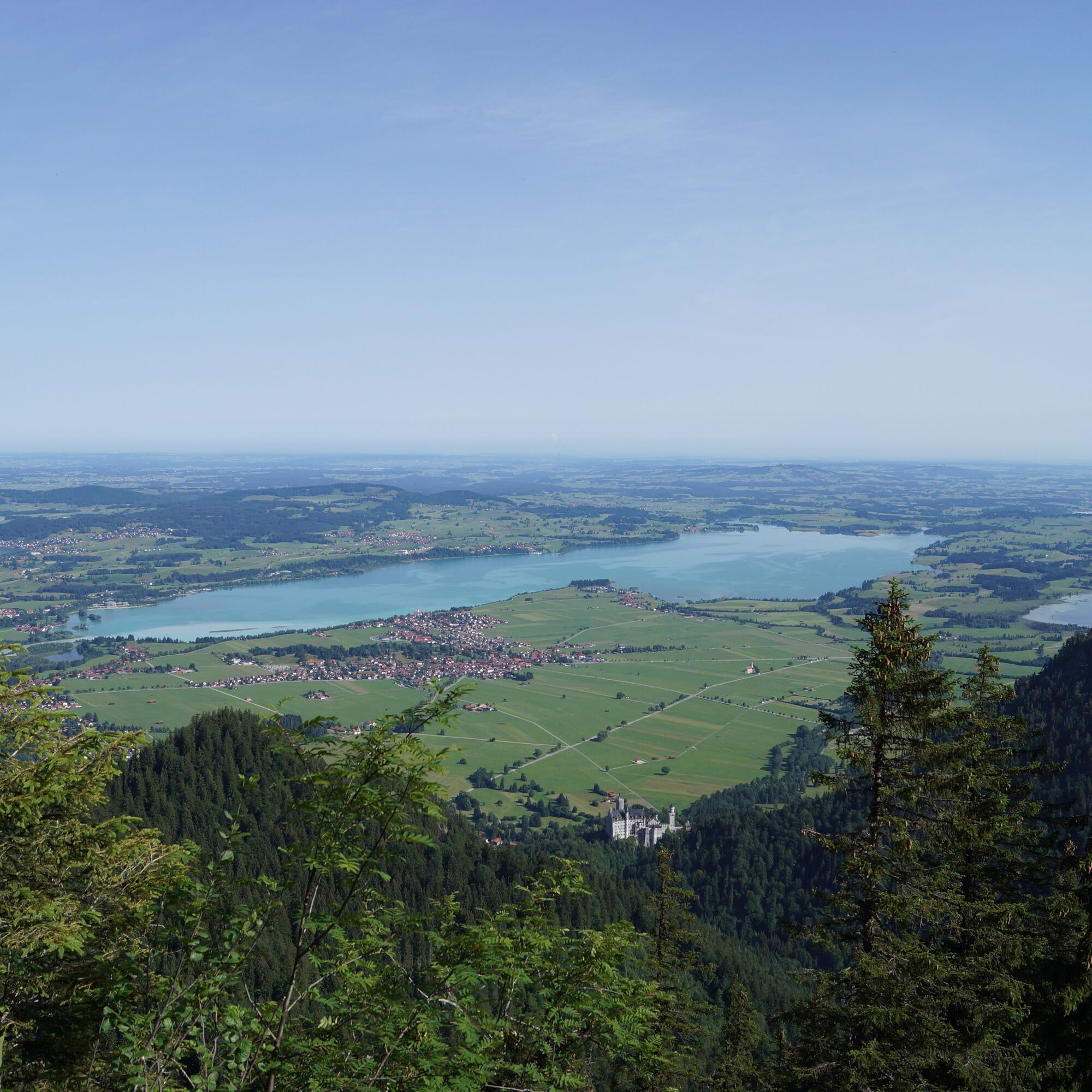
Well fortified, you follow the varied forest path, which always descends slightly to the west. Below the Pilgerschrofen you cross the border into Germany again. Shortly afterwards, a short but steep ascent demands a little more stamina - but the view of the Alpsee is an immediate reward. Once at the top, a few hairpin bends take you back to the Wildsulzhütte. The way back follows the same route as the ascent - past the "Jugend" bus stop and along the forest path back to Hohenschwangau.
Ano
We recommend: Clothing suitable for the weather, hiking boots, poles, drinks, snacks and a first aid kit.
The climbing passages are well secured with wire ropes. Please note: From Säulinghaus in the direction of the border crossing to Germany, the route can be confusing in places - so pay particular attention to the trail markings!
Follow the signs to Hohenschwangau/Königsschlösser.
By train: To Füssen station (from here continue by bus)
By bus: Bus stop Hohenschwangau Neuschwanstein Castles (lines 72, 73, 78, 9606, 9651)
Paid parking lot (P3) in Hohenschwangau
With the Schwangau hiking pass for young and old hiking enthusiasts, you now have the opportunity to explore our unique natural landscape on your own. As proof of your achievement, you will find a small wooden box with a punching tool on each route.
Simply stamp the corresponding hiking route in your hiking pass and show it to the Tourist Information Office after completing enough hiking tours. You will then receive a hiking pin as a reward and the little hikers a hiking certificate.
The printed Schwangau Hiking Pass is available free of charge at the Schwangau Tourist Information Office, at the information point in Hohenschwangau, at the Tegelbergbahn valley station and at the Ziegelwies Forest Adventure Center.
https:// www.schwangau.de/aktivitaeten/wandern-und-klettern/wanderpass-schwangau/

Webové kamery z prohlídky
Talstation
Tegelbergbahn Bergstation
Tegelberghaus
Füssen - Wellness Hotel Sommer
Segelclub Füssen
Talstation
Talstation
Talstation
Talstation
Tegelbergbahn Bergstation
Tegelbergbahn Bergstation
Tegelbergbahn Bergstation
Tegelbergbahn Bergstation
Talstation
Talstation
Tegelbergbahn Bergstation
Schloss Hohenschwangau
Schloss Hohenschwangau
Schloss Hohenschwangau
Schloss Hohenschwangau
Schloss Hohenschwangau
Schloss Hohenschwangau
Schloss Hohenschwangau
Schloss Hohenschwangau
Ludwigs Festspielhaus Füssen
Ludwigs Festspielhaus Füssen
Ludwigs Festspielhaus Füssen
Ludwigs Festspielhaus Füssen
Ludwigs Festspielhaus Füssen
Ludwigs Festspielhaus Füssen
Ludwigs Festspielhaus Füssen
Forggensee
Tegelbergbahn Bergstation
Schwangau - Blick auf den Tegelberg
Hotel Hirsch
Hotel Hirsch
Hotel Hirsch
Hotel Hirsch
Hotel Hirsch
Hotel Hirsch
Získejte přehled Vždy živě na místě s více než 9 500 webkamerami. bergfex Jako uživatel Pro si nyní můžete zobrazit odpovídající webové kamery pro mnoho prohlídek v aplikaci prohlídky z. Můžete si tak přímo prohlédnout aktuální podmínky. 

Oblíbené prohlídky v okolí
- 4,8
Thaneller
středníTuristika 4,90 km - 4,8
Around Weißensee
světloTuristika 6,12 km - 5,0
Hiking tour to Breitenberg
heavyTuristika 15,6 km - 4,1
Drehhütte
světloTuristika 3,34 km - 4,7
Yellow Wall Trail, Tegelberg (A)
středníVia ferrata 3,65 km - 4,5
Circular hike Dreh- and Rohrkopfhütte
světloTuristika 8,76 km - 4,9
Tegelberg | Branderschrofen | Neuschwanstein
středníTuristika 14,8 km - 5,0
Gemeinde Grän, Tirol/Österreich Aggenstein Rundtour über Höhenweg
středníTuristika 9,84 km - 4,2
Cultural trail Schutzengelweg
středníTuristika 5,13 km - 3,6
Rundwanderung Plansee
středníTuristika 9,80 km

Pěší turistika a stopování


Nenechte si ujít nabídky a inspiraci pro vaši příští dovolenou
Vaše e-mailová adresa byl přidán do poštovního seznamu.





