


Above the clouds towards Wildberg
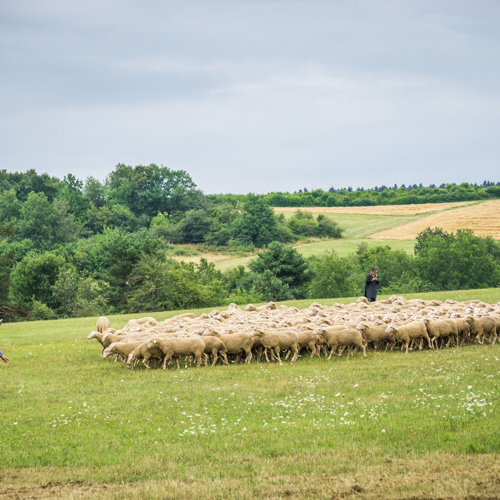
The approximately 8 km long circular route leads to Sulzer Eck, the herding place for the historic skillful herding event, which takes place every 2 years in Wildberg. The skillful herding is part of the...
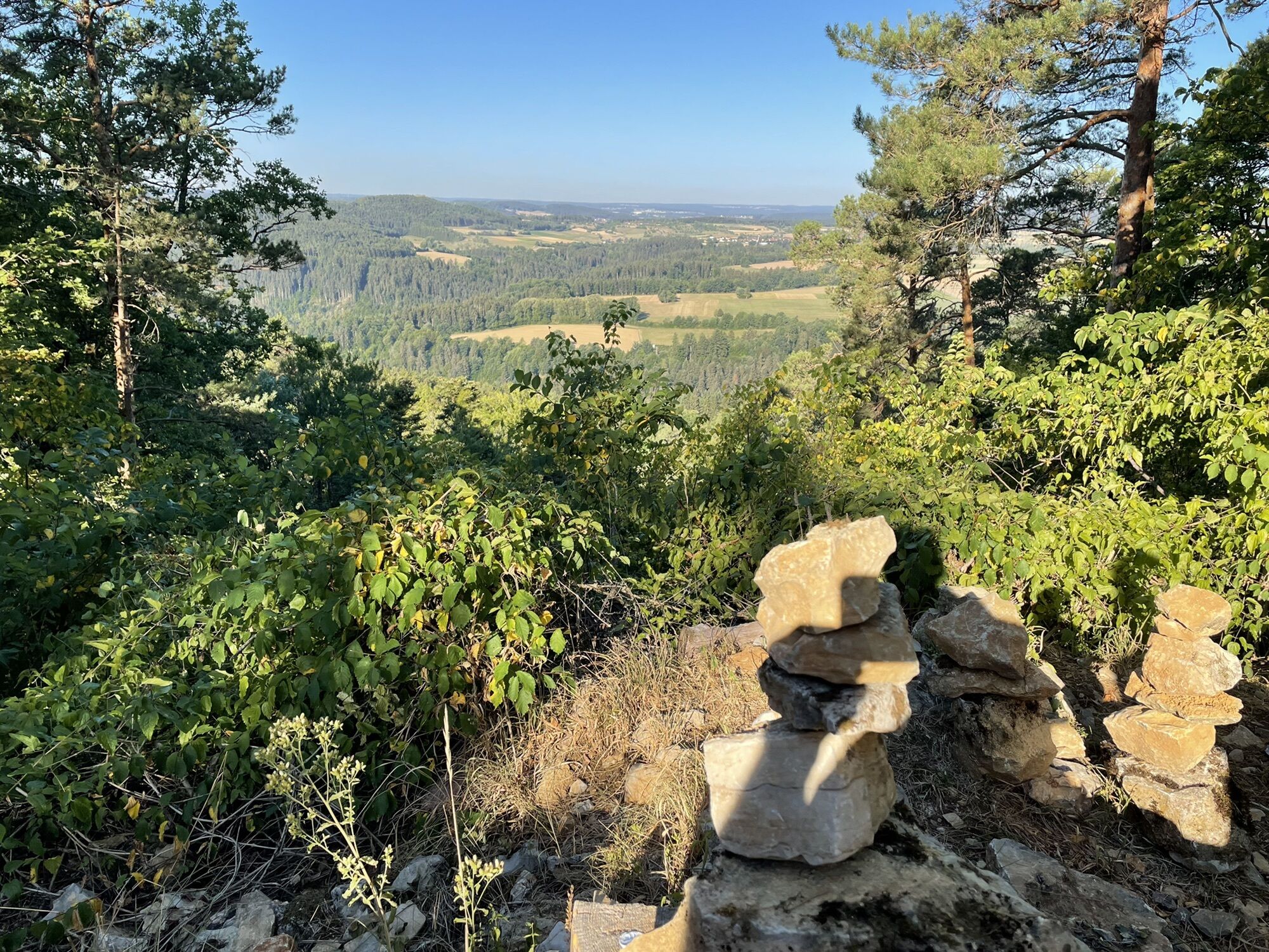
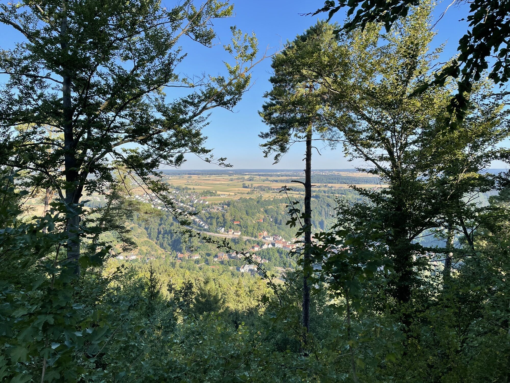
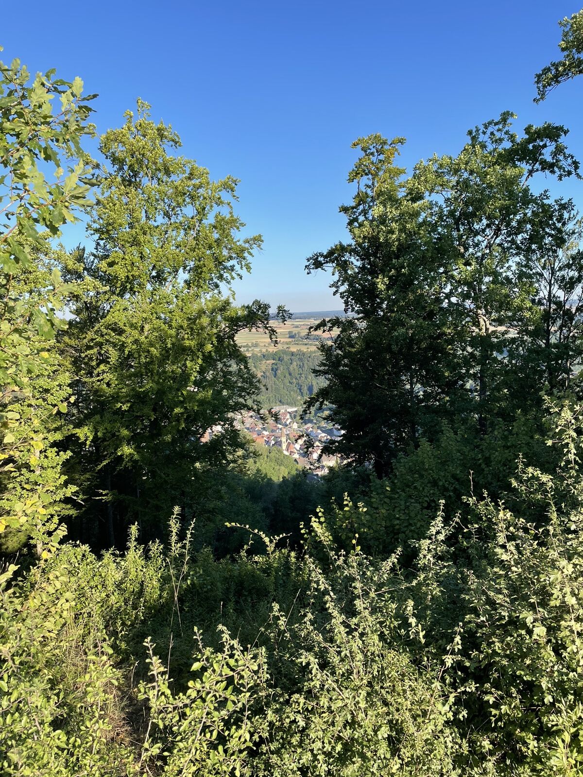
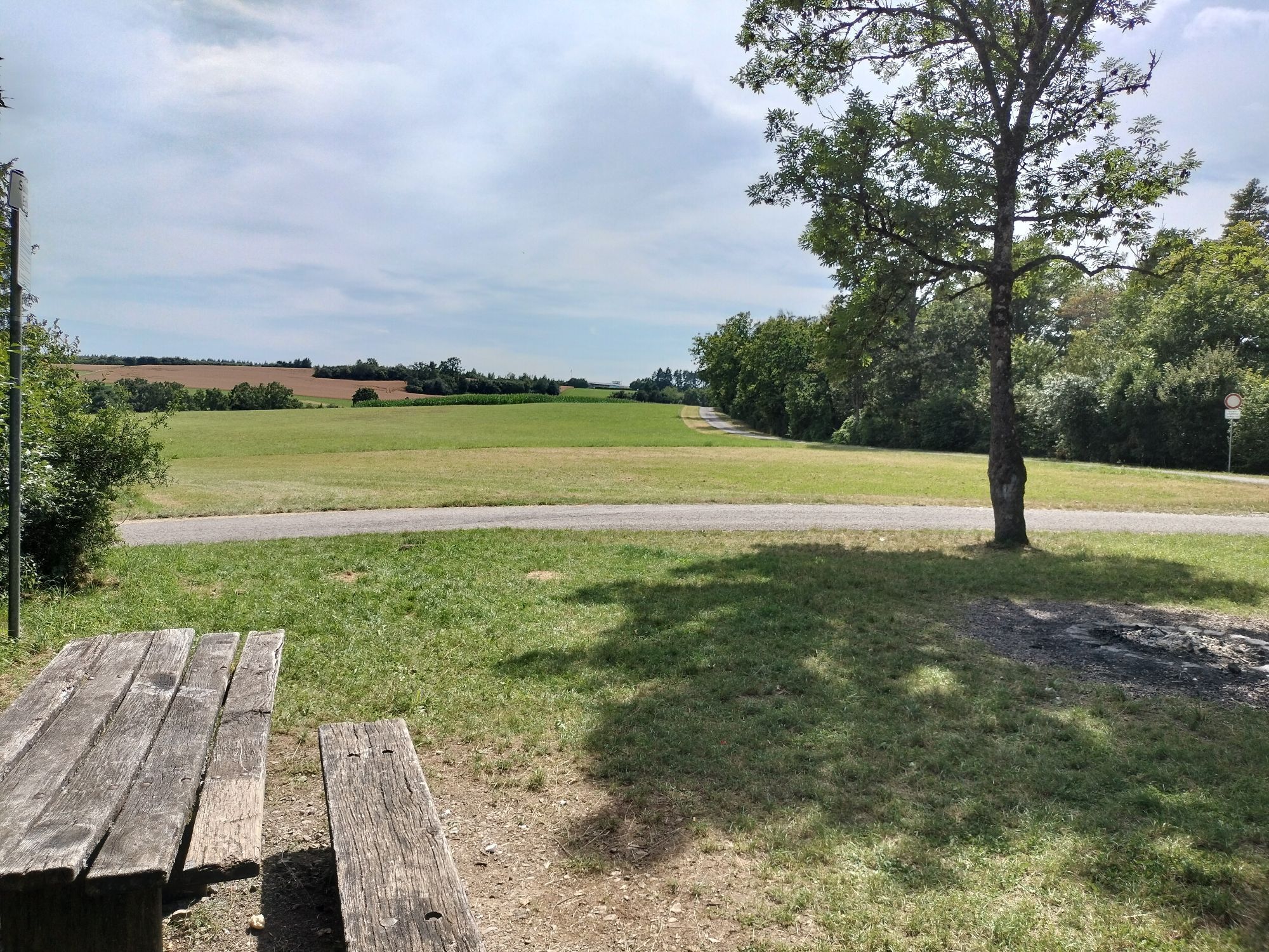
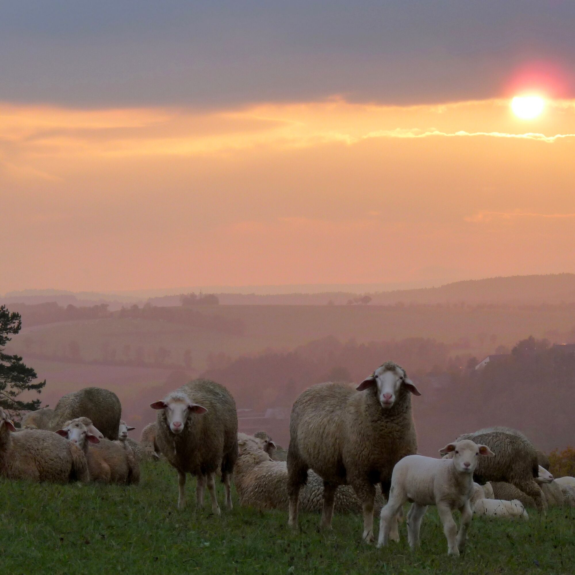
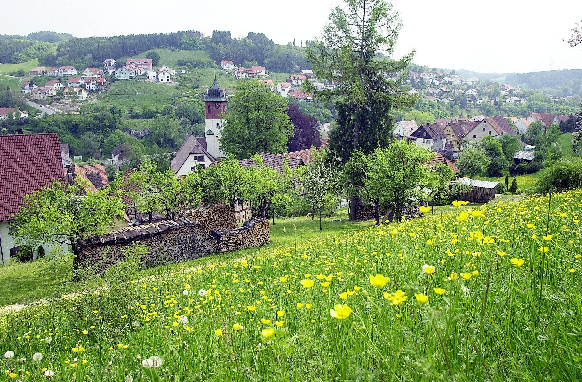
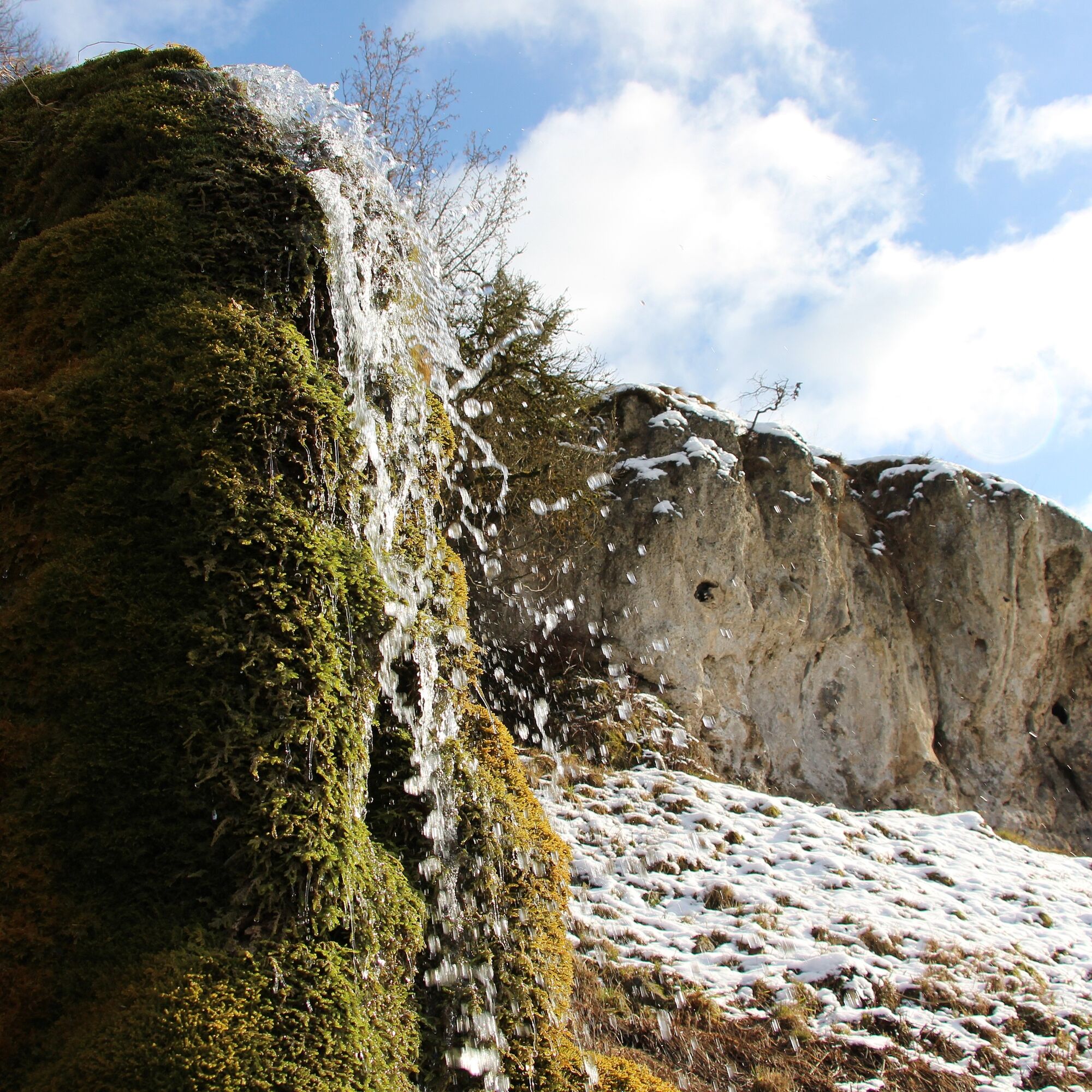
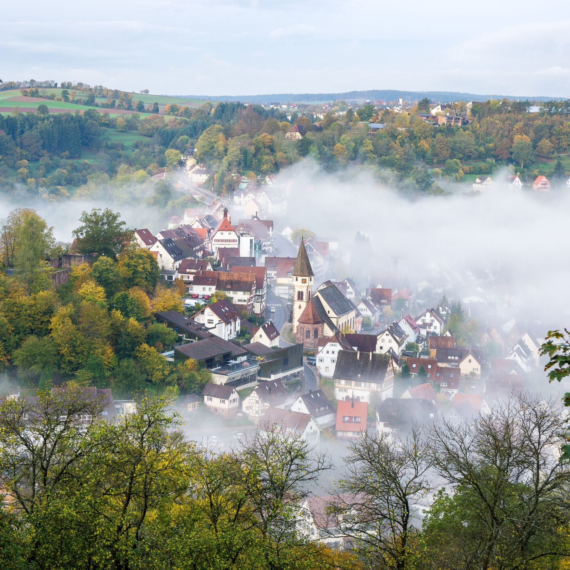
The approximately 8 km long circular route leads to Sulzer Eck, the herding place for the historic skillful herding event, which takes place every 2 years in Wildberg. The skillful herding is part of the shepherd tradition that is at home in Wildberg. Every two years, the shepherd run takes place down in the valley at the Nagold and up here, at the airy height, the competition of the shepherds and their sheep. The shepherd run was declared intangible cultural heritage by UNESCO. It is a pleasant place here, on lush meadows and wide fields in the sun. On the Gäurandweg it goes over the height, which repeatedly rewards the hiker with great distant views. It goes past the glider airfield, back into the forest. On our hike along the forest edge, we touch the Seewald nature reserve until we slowly walk down back to Sulz am Eck. Even the last section is characterized by pastures, lush meadows and here and there a few cultivated fields. Here you experience the hedgerow landscape up close!
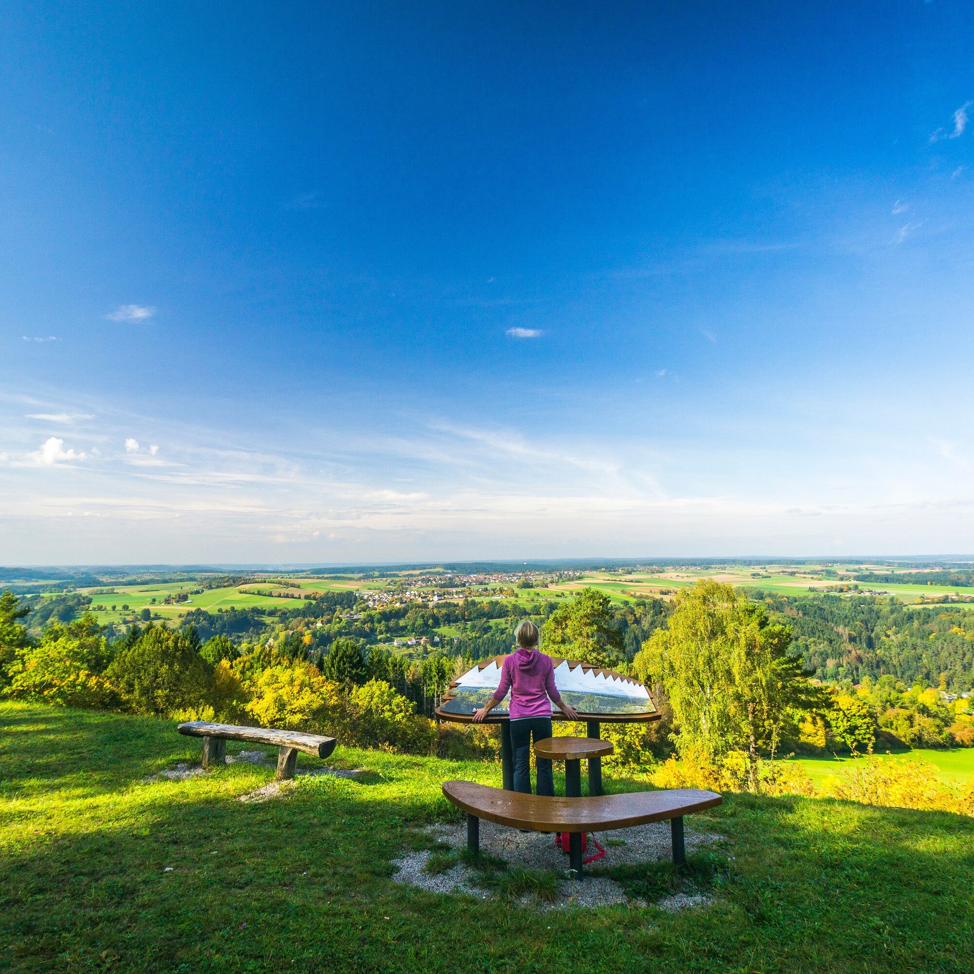
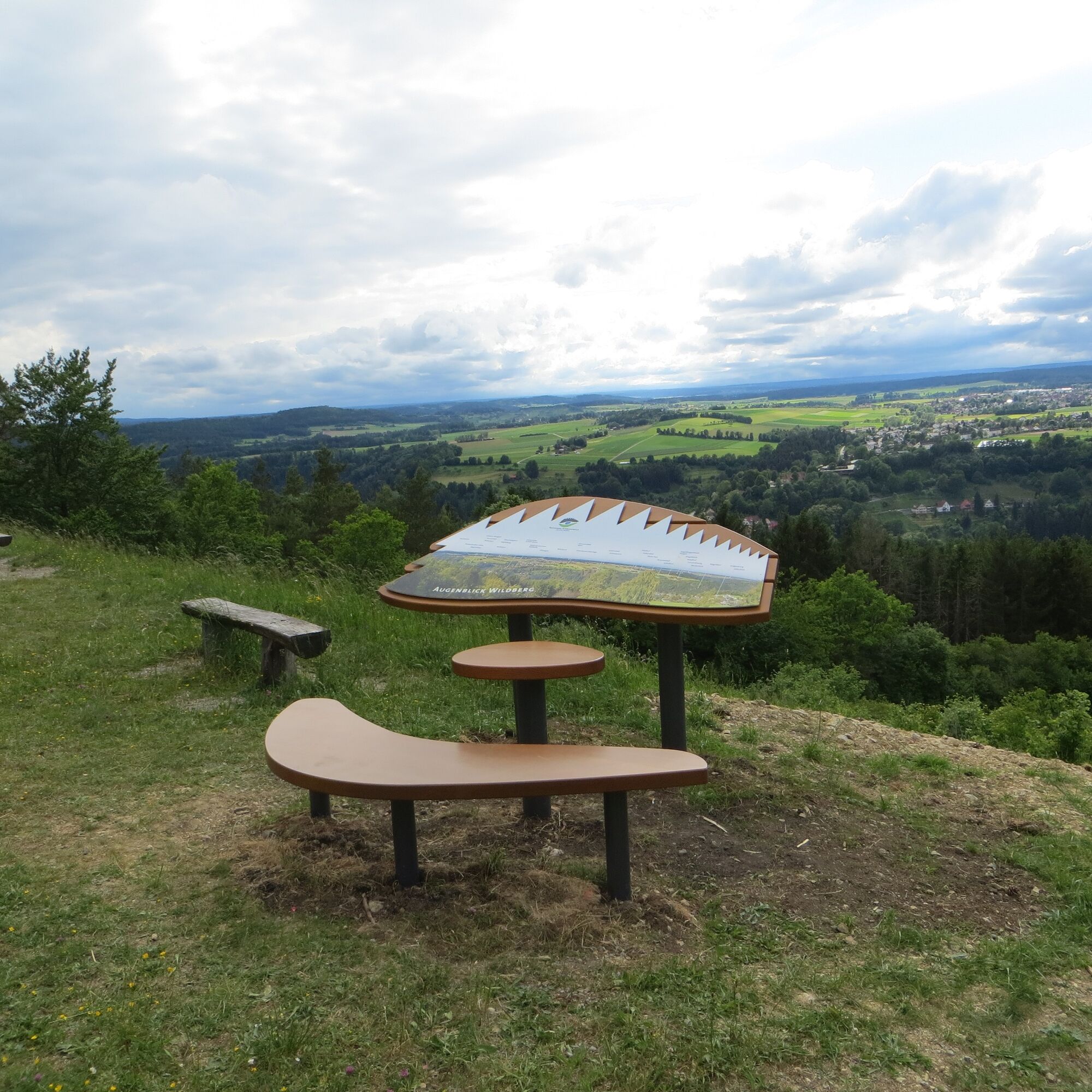
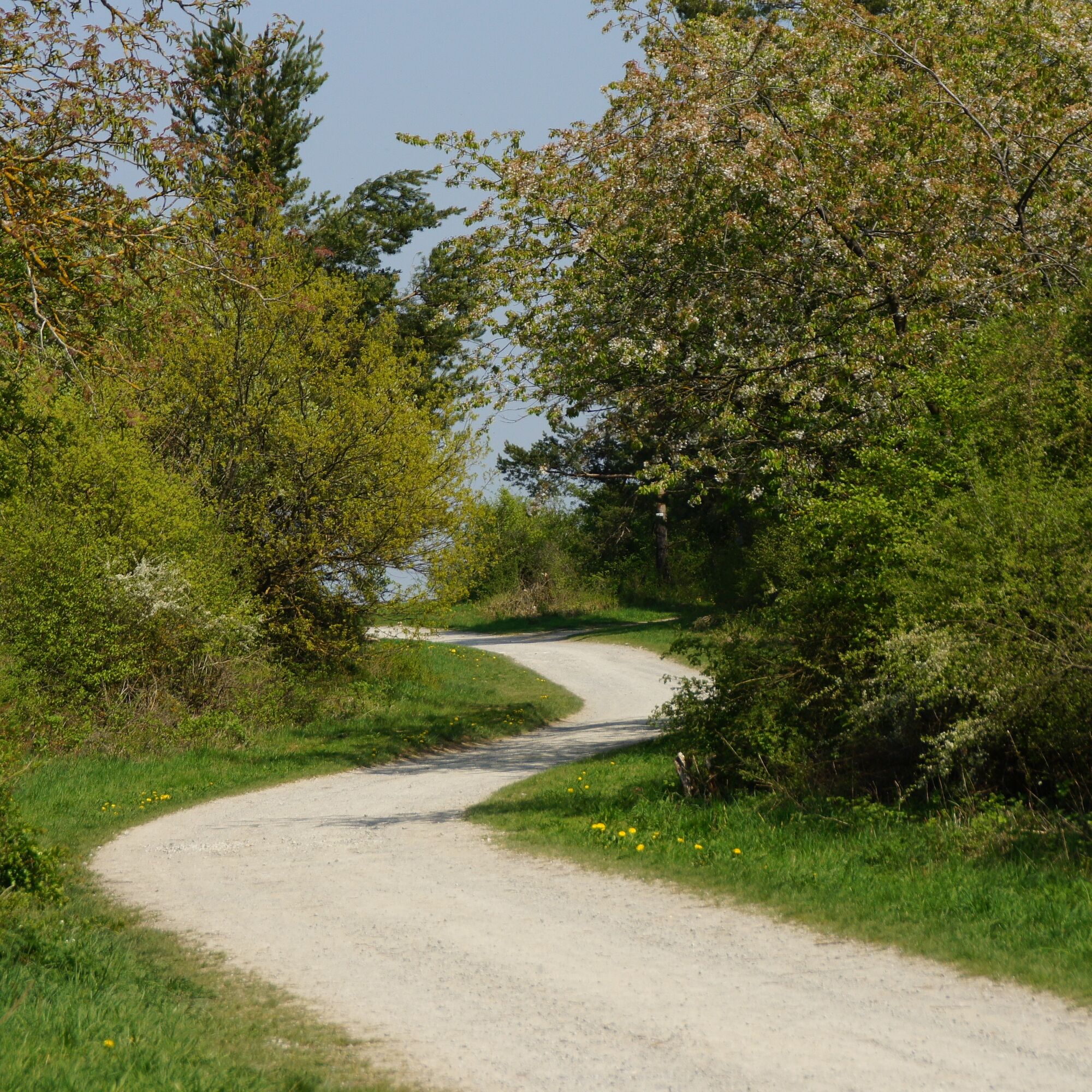
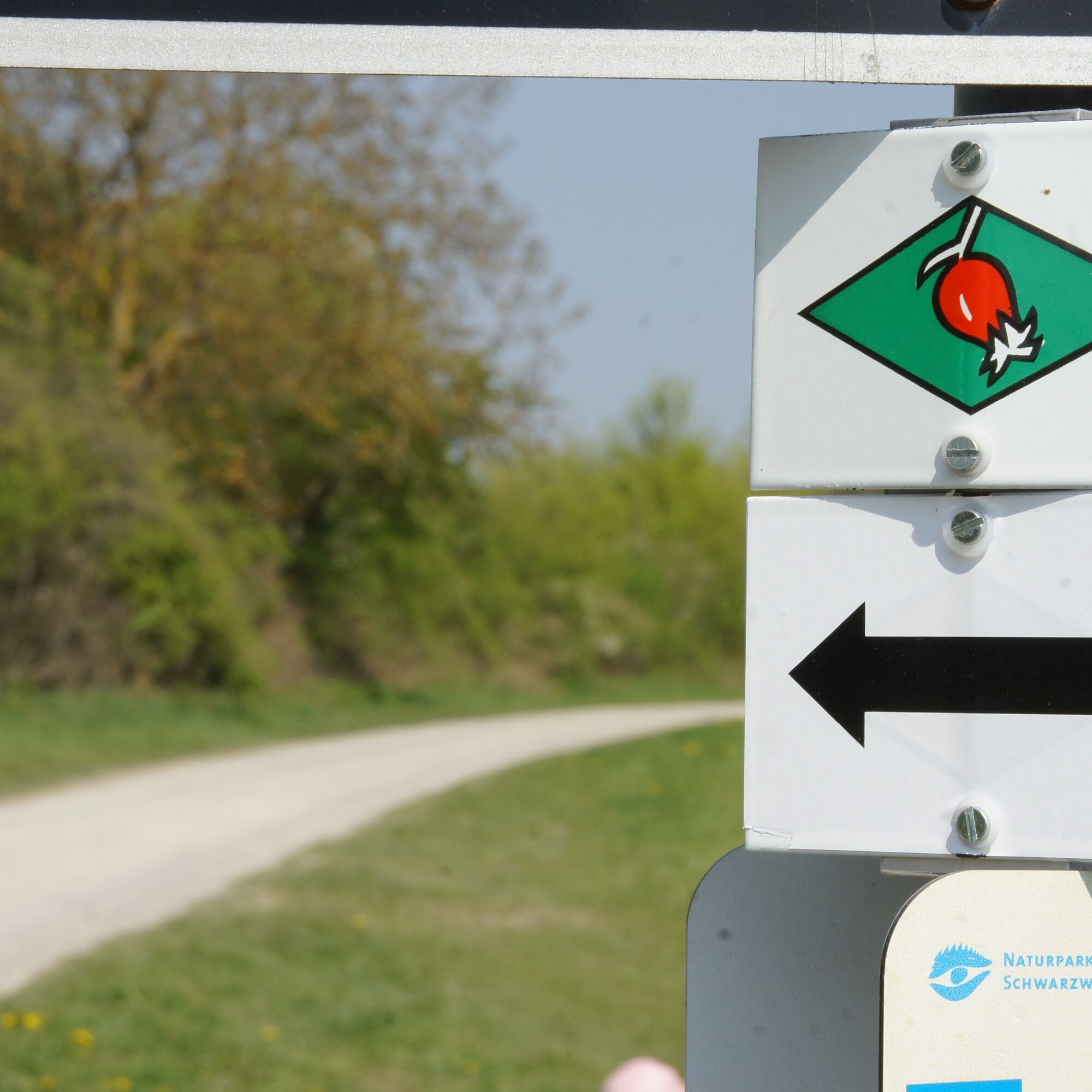

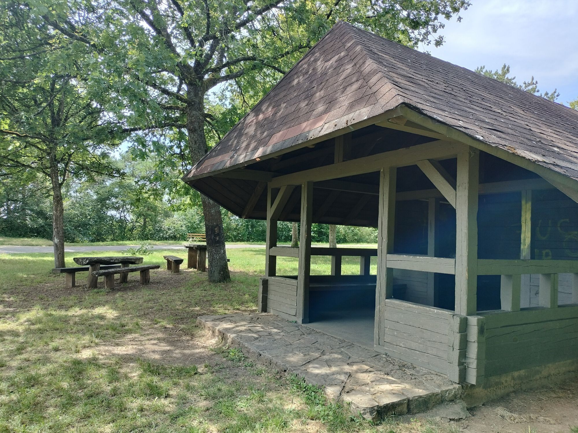
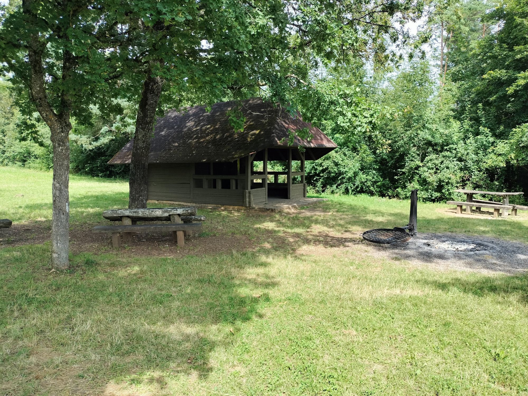
The route starts at the signpost Altes Waschhäusle of the Black Forest Association in Sulz am Eck. From there we follow the lozenge and the Gäurandweg up the Wettegasse. Through Obere Straße and the street "Im Steig" it goes up to the sunny height and to the signpost Brechenloch. We continue straight ahead on the Gäurandweg towards the signpost Sulzer Eck. Here a barbecue area awaits for a short rest and relaxation break. Those who want to make a detour to the nature park viewpoint turn right at the signpost and follow the lozenge and the Augenblick signage to the viewpoint. The hike leads us left around the Sulzer Eck. Over the height we hike on the Gäurandweg, past the Flugplatz Wächtersbach. Into the forest it goes to the signpost Schinderwasen, where we turn left and reach the next signpost Wasen. Here we leave the Gäurandweg and only follow the local lozenge signage of the Black Forest Association. Through the forest and along the forest edge it slowly goes down again until we reach the signpost Katzengraben. On the nature trail it now goes into the village Sulz am Eck and to the signpost Sulz am Eck/Im Kloster. We follow the lozenge through the village, along the stream, to the signpost Altes Waschhäusle.
Ano
No special equipment required
From the north, drive to Wildberg via the B463. At the large traffic light intersection before Wildberg, turn left and follow the signs to Sulz am Eck.
From Herrenberg, drive to Sulz am Eck via the B296 and Sulzer Straße.
With the cultural train Pforzheim - Horb to the station in Wildberg and then with bus 775 to the Sulz am Eck district.
Parking is available in Sulz, including at the cemetery parking lot in Sulz. The starting point of the route is at the washing house.
At Sulzer Eck a detour to the nature park viewpoint on the Wächtersberg is worthwhile. Here you can enjoy the view of the nearby Black Forest.
Oblíbené prohlídky v okolí
-
4.5
Wolfsschlucht and Fox Gorge
středníTuristika 9.74 km -
5.0
Water, Woods and Meadowtrail / Zavelstein > Calw (Premium trail & Genussweg)
heavyTuristika 14.4 km -
5.0
Der Teinacher (Premiumweg & Genießerpfad)
středníTuristika 12.0 km -
5.0
AugenBlick route Bad Teinach-Zavelstein Zettelberg
heavyTuristika 15.5 km -
5.0
GeoTour Wildberg through the picturesque Lützenschlucht
heavyTuristika 2.80 km -
3.0
Rund um den Schönbuchturm
světloTuristika 6.22 km -
Exciting circular hike with beautiful views and culture
středníTuristika 9.98 km -
5.0
From Altburg over scenic heights to Zavelstein
středníTuristika 10.6 km -
4.5
Waldeck ruins and the largest water wheel in Europe
středníTuristika 15.4 km -
4.0
Naturpark-AugenBlick-Runde Calw-Holzbronn
středníTuristika 13.3 km

Pěší turistika a stopování


Nenechte si ujít nabídky a inspiraci pro vaši příští dovolenou
Vaše e-mailová adresa byl přidán do poštovního seznamu.