


"Thomas Schäuble" trail in "Rothaus"
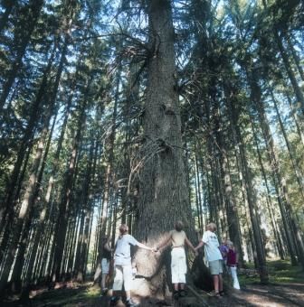
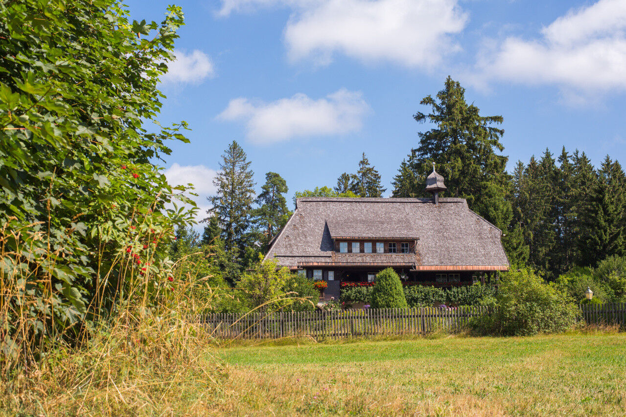
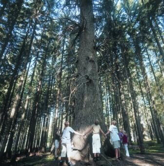
The Thomas Schäuble Trail leads through a scenic nature reserve. Along the varied 6-kilometre route are the Hüsli local history museum, the Danieltanne fir tree - the largest fir tree in the Black Forest...
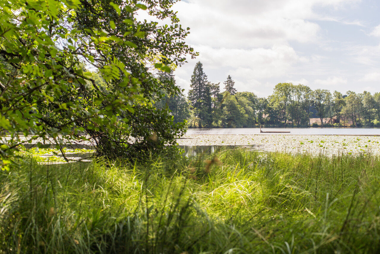
The Thomas Schäuble Trail leads through a scenic nature reserve. Along the varied 6-kilometre route are the Hüsli local history museum, the Danieltanne fir tree - the largest fir tree in the Black Forest Highlands -, the Schlüchtsee lake with its water lily biotope and the imaginative Schlühüwana sculpture park.


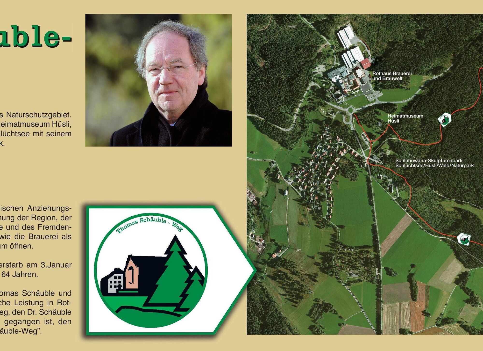

Beginne die Tour an der Brauerei Rothaus (oder ggf. beim Wanderparkplatz Hüsli, Rothaus, wo öffentliche Toiletten zur Verfügung stehen). Der Weg ist mit einem weiß-grünen Schild mit den Symbolen Brauerei und Tannen ausgeschildert. Halte dich zuerst in Richtung Hüsli. Biege kurz nach dem Hüsli rechts in den Alpenblickweg ein, an einer Weggabelung dann in den Hochtannenweg und wandere weiter in Richtung „Danieltanne“. Nach einiger Zeit geht es rechts ab in den Hochstichweg, der dich am Jugendzeltplatz vorbeiführt. Halte dich beim folgenden Parkplatz rechts und genieße einen kleinen Pfad, der dich dann wieder in einem Bogen auf den Schlühüwanapark führt. Gehe hier scharf links zum Schlüchtsee, wo du dich je nach Wetterlage im See erfrischen oder am Kiosk verwöhnen lassen kannst. Umrunde anschließend fast den kompletten See im Uhrzeigersinn, bis du über den Schlühüwanapark wieder zum Ausgangspunkt an der Brauerei gelangst.
Bitte beachte die Laufrichtung des Wanderweges.
Ano
Ano
Ano
Wir empfehlen festes Schuhwerk!
Der Weg ist für Hunde geeignet.
Bitte beachte auf dem Wanderweg die Hinweisschilder und die entsprechende Laufrichtung. Genaue und detaillierte Informationen über die Hinweisschilder und das Wanderleitsystem findest du auf unserer Homepage: Das Wander-ABC (hochschwarzwald.de)
In Notfällen rufe bitte die 112 an.
Anreise zum Startpunkt
Parkplatz der Rothaus Brauerei oder auf dem Parkplatz beim Hüsli / Tourist-Information Rothauser Land
Heimatmuseum Hüsli
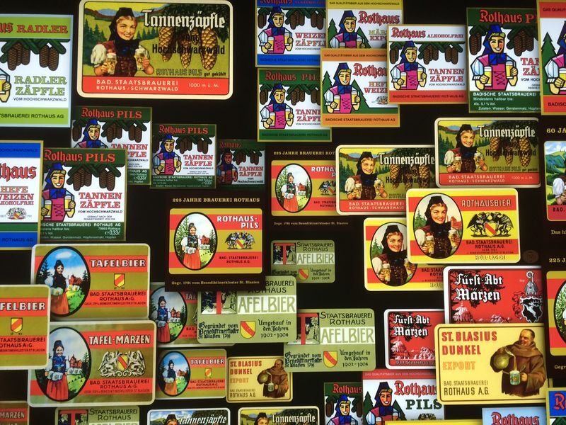
ZÄPFLE Heimat der Staatsbrauerei Rothaus
Oblíbené prohlídky v okolí
-
3.7
Seerundweg Titisee
světloTuristika 5.84 km -
4.7
Wutachschlucht Rundwanderung im Süd Schwarzwald
středníTuristika 9.76 km -
4.1
Höhenklimaweg Titisee-Rundweg
středníTuristika 7.44 km -
3.7
From Titisee to the Hochfirst with its stunning views
středníTuristika 10.6 km -
3.5
Premium Hiking Trail - Rappenfelsensteig
středníTematická stezka 12.8 km -
4.0
Gorges, climbs and culture
středníTuristika 12.1 km -
4.3
Lake Cycle Track Black Forest Highlands
středníJízda na kole 66.6 km -
5.0
Wutachschlucht+Lotenbachklamm
světloTuristika 10.0 km -
4.7
Tour rund um den Titisee
světloZimní turistika 5.99 km -
4.8
Seerundweg Schluchsee
středníTuristika 17.7 km
Pěší turistika a stopování


Nenechte si ujít nabídky a inspiraci pro vaši příští dovolenou
Vaše e-mailová adresa byl přidán do poštovního seznamu.