


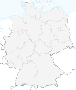


Castle path 10 Along the Rhine to Schaffhausen

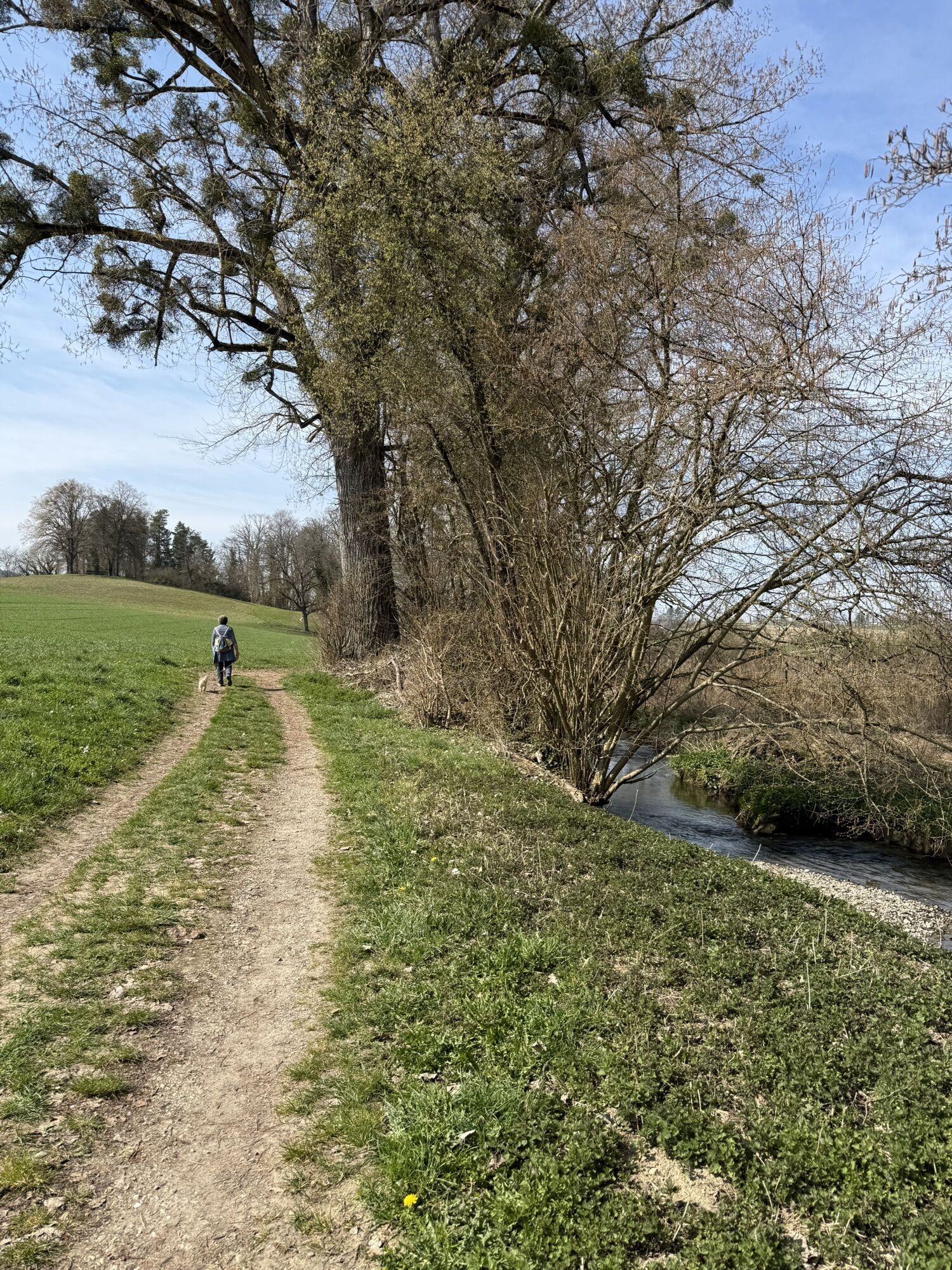
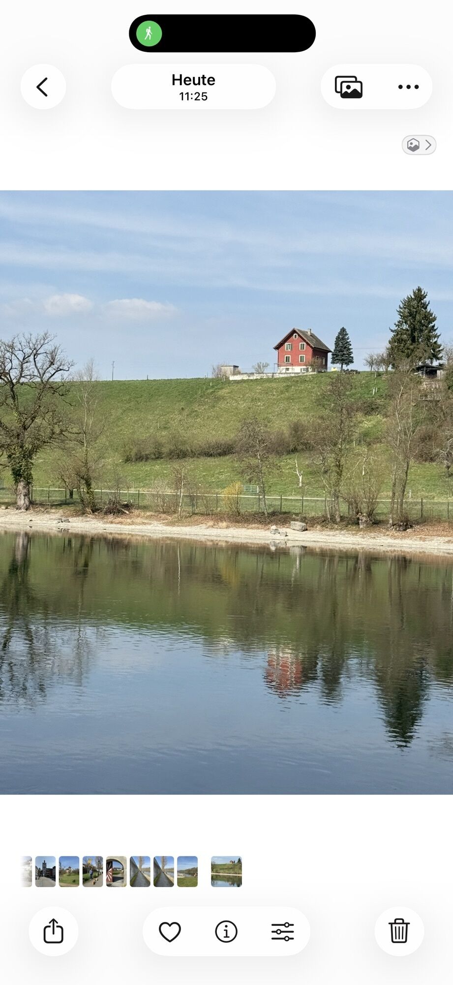
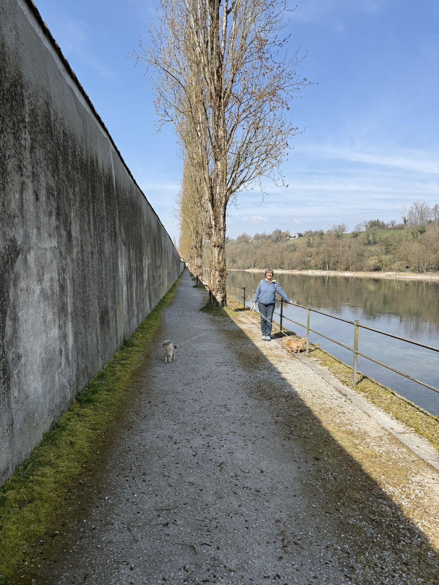
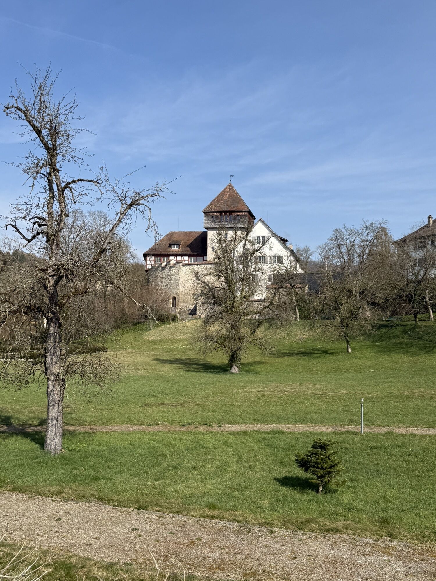
Directly at the starting point of the hike is the Jewish Cemetery of Gailingen. A few meters higher is the Bürgli Castle viewpoint. There is also a wooden observation tower with a fantastic view into Switzerland...
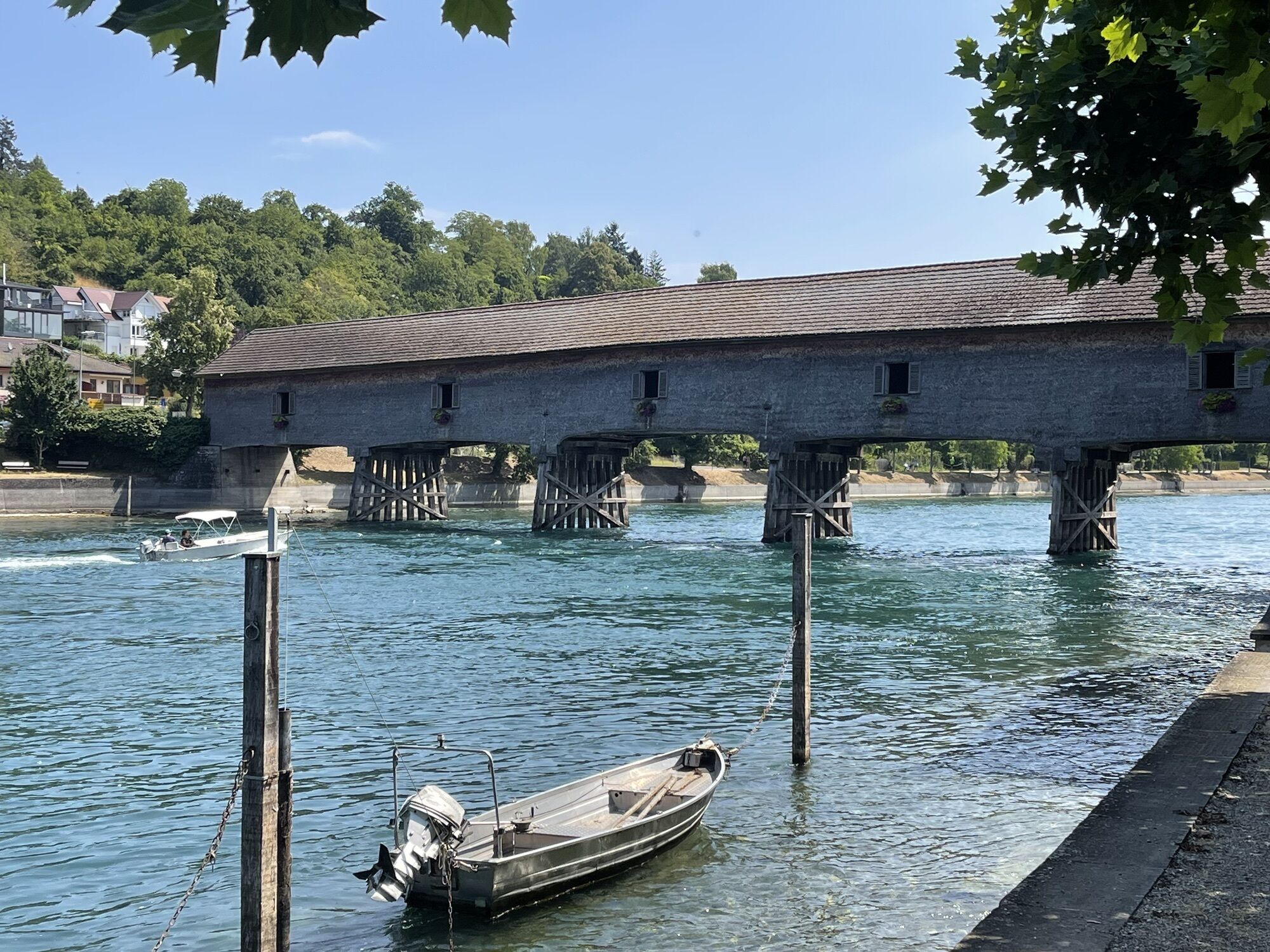
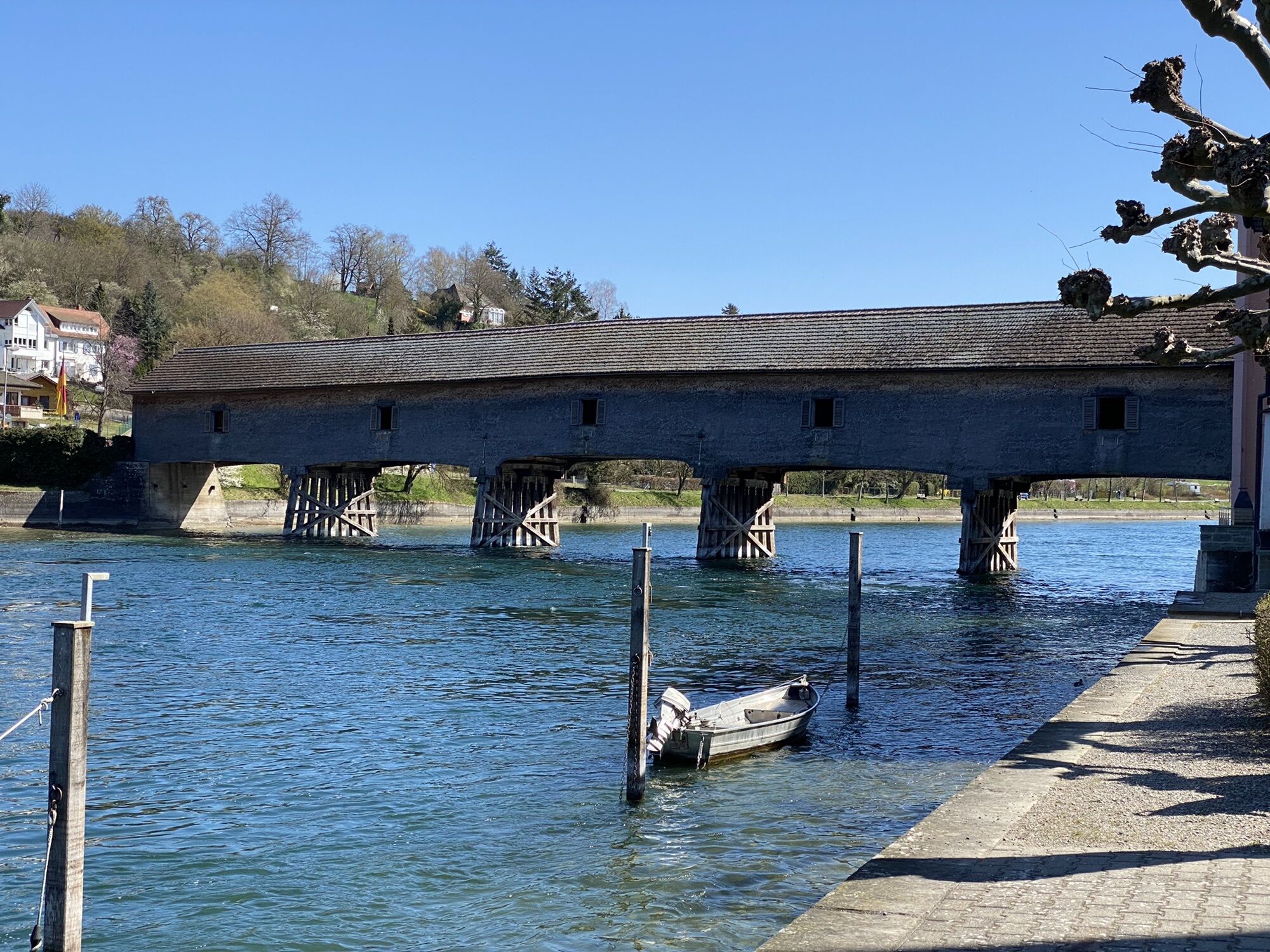
Directly at the starting point of the hike is the Jewish Cemetery of Gailingen. A few meters higher is the Bürgli Castle viewpoint. There is also a wooden observation tower with a fantastic view into Switzerland and the Alps. Further along the path you will pass the impressive wooden bridge over the Rhine to Swiss Diessenhofen, the former monasteries of St. Katharienental and Paradies, as well as the Schaarenwald nature reserve. There you often see felled trees, evidence of the beaver which has become native there again. At the endpoint Schaffhausen, the massive Munot fortress towers above the city.
At the former Paradies monastery, a passenger ferry crosses the Rhine.

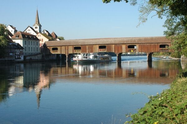
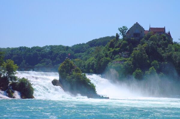
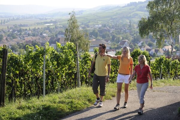
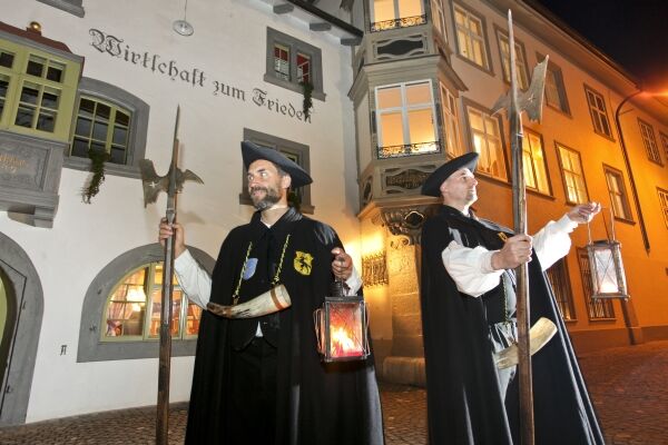

The starting point of this hike is the parking lot at the Jewish cemetery in Gailingen (469m). From there, you head towards the main road. Shortly after the junction, the hiking trail to Bürgli Castle (576m) begins. This path winds up the Rauhenberg in some tight bends. Once there, you go right up the steps. In front of you stands the wooden observation tower, from which you have a wonderful view into Switzerland. On clear days, you can admire the mountain range from the Austrian, through the Swiss to the French Alps from up there. After a stay on the tower, you take the same path back down to the parking lot. Then you enter the town on Bürglestraße. Straight ahead on Genterweg, then into Alte Poststraße and then left into Bergstraße. On the left side, you come to the Liebenfelschen little castle and the Catholic church. The path leads you further into the town center. You turn left and cross Ramsenerstraße at the zebra crossing, then go left. After a few meters, turn right past the community center and synagogue square. At Auestraße, turn right and walk down Schneckenbergweg to the Rhine. At the Rhine, cross the old wooden bridge into the Swiss town of Diessenhofen (420m). Just after the bridge, go left and walk along the Rhine to some stairs. Go up the stairs and turn left. After a few meters, you arrive at Oberhof Castle. Then go to the main street to the beautiful Obertor. Walk back along the main street until you can turn right into Helfereigasse. At the end of Helfereigasse, follow Hintergasse left. You cross Rheinhalde and pass the church to Burg Unterhof. After the visit, cross a small bridge towards St. Katharinental Monastery. You pass the building of the Diessenhofen Pontoon Club and walk alongside the Rhine to St. Kathharinental Monastery. After the monastery, the trail goes into the forest and follows the Rhine downstream. After a longer stretch through Schaarenwald, you come across old bunkers and wooden houses.
The High Rhine near Diessenhofen is a historically significant area. Settlements and fortifications from the Stone Age to World War II bear witness to this. Especially along the Rhine bank in the Schaarenwald area there is a unique ensemble of fortifications from different epochs. The "Rheinkastell" association, founded in 1994, has established an educational trail here. On the Rhine bank is the bunker museum, which with models and a fully equipped bunker from World War II gives vivid impressions of the latest fortification efforts. Between 1938 and 1940, a dense chain of defensive infantry works was built on the Rhine. Thanks to information boards, it is possible to see the traces (ditches and embankments) of a bridgehead established in early summer 1799. (The southern section was partially reconstructed in autumn 2001.) The site secured bridges over the Rhine, laid by ships, which enabled the Austrians their initial successful offensive against the French. The area was also important for the Romans: the Limes defense line should halt the Alemanni. At the outer tip of the riverside bend near Schaarenwald stood a Roman watchtower. Together with eight other watchtowers between Schaffhausen and Stein am Rhein, it formed part of the Danube-Iller-Rhine Limes fortified with castles and watchtowers from the 4th century AD. The earliest traces of human life found here are flint stones from the Neolithic 4500-2200 BC and Bronze Age ceramics around 1000 BC.
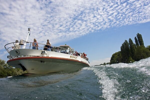
The Schaarenwald and the Schaarenwiese nature reserve are also of great interest to nature lovers. Here you can admire, for example, the Siberian sword lily or signs of beavers. There are repeatedly barbecue areas and you reach the swimming area of the primary school community Schlatt. Here you can take a cool bath in the Rhine and rest extensively at the two barbecue areas. At the end of the site, the trail goes left and you pass some dovecotes, keep right and then turn right again into a field path. Follow this to Paradies (400m). There you can refresh yourself on the garden terrace directly on the Rhine. Further downstream on the paved road, after a short distance, turn right into a meadow path. The trail leads you repeatedly down to the Rhine bank, then uphill again. You pass the campsite and reach the main street, which you follow until you turn right at a bridge. After a short distance, turn right past the community center into Trüllergässli and descend to the Rhine. You turn left and cross the Rhine bridge to Schaffhausen (385m). Past the ship landing stage, cross at the zebra crossing and keep right. Soon a staircase leads left up to the Munot. After the visit, descend the stairs again and return by boat to Diessenhofen. This is only possible from about May to mid-October. Otherwise, you can return by train to Diessenhofen. From there, cross the old wooden bridge back up to Gailingen. After the Protestant church on the right side, a small footpath branches off to the left. Follow it until it joins a gravel path, turn left, pass a restaurant and turn right onto a walkway. Further on, turn right, cross the large intersection, pass the bus stop going uphill. At the end of the street, turn left and you arrive back at our starting point at the Jewish cemetery.
Ano
Coming from the north, take motorway A81 to the end of the motorway in Bietingen. From there, follow the signs to Gottmadingen and then the L190 and K6149 to Gailingen.
You can reach Gailingen from Gottmadingen train station by public transport with bus line 7351 to Ramsener Straße stop. From there, continue through Ramsener Straße, turn right into Auestraße and go straight ahead to the Gailingen am Rhein customs.
Return from Schaffhausen by train or boat towards Stein - Kreuzlingen via Switzerland to Diessenhofen, where you only need to cross the historic wooden bridge to Gailingen.
Parking lot at the Jewish cemetery.
Without visiting Bürgli Castle: There are public parking spaces at the Rhine Riverside Park or the Rheinhalde. Attention: parking fees apply.
Attention: The hiking time of 7 h 15 min refers to the route to Schaffhausen including the return trip to Gailingen, about 26 km. The one-way route to Schaffhausen is about 13 km and takes approximately 3 hours to complete.

Oblíbené prohlídky v okolí
-
4.7
Small Rheinfall Circular Route
světloTuristika 3.48 km -
4.8
Rundwanderweg Rheinau
světloTuristika 6.85 km -
Circular hike Schaffhausen - Rhine Falls - Schaffhausen
středníTuristika 10.0 km -
4.8
Flaach - Ellikon - Flaach
Turistika 12.0 km -
5.0
Stein am Rhein - Hohenklingen Castle - Stein am Rhein
středníTuristika 7.68 km -
SwitzerlandMobility 896: Rhine Falls Circular Route
středníTuristika 7.39 km -
5.0
Circular hike over the Hinterranden
středníTuristika 11.0 km -
4.5
Nature trail Merishausen: Brown route
středníTematická stezka 11.4 km -
4.5
SchweizMobil 593: Nordspitze Panoramaweg
středníTuristika 13.7 km -
5.0
"Hegauer Kegelspiel" Hohentwieler
středníTuristika 7.21 km
Pěší turistika a stopování


Nenechte si ujít nabídky a inspiraci pro vaši příští dovolenou
Vaše e-mailová adresa byl přidán do poštovního seznamu.


