


Rhine - Vines - Route
Fotografie našich uživatelů

 © Andi FelixVytvořeno dne 12.10.2025
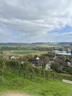 © Andi FelixVytvořeno dne 12.10.2025
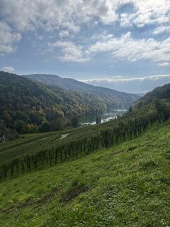 © Andi FelixVytvořeno dne 12.10.2025
 © Denis MazzaVytvořeno dne 29.05.2025
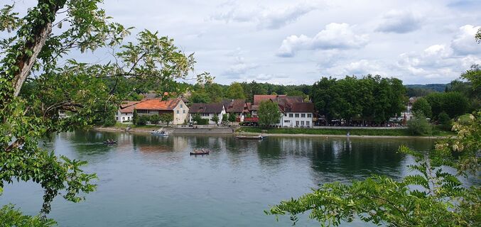 © Denis MazzaVytvořeno dne 29.05.2025
 © Denis MazzaVytvořeno dne 29.05.2025
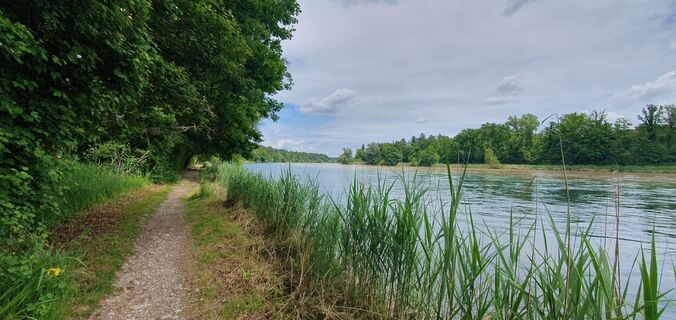 © Denis MazzaVytvořeno dne 29.05.2025
 © Denis MazzaVytvořeno dne 29.05.2025
 © Werner SchlegelVytvořeno dne 22.09.2024
 © Werner SchlegelVytvořeno dne 22.09.2024
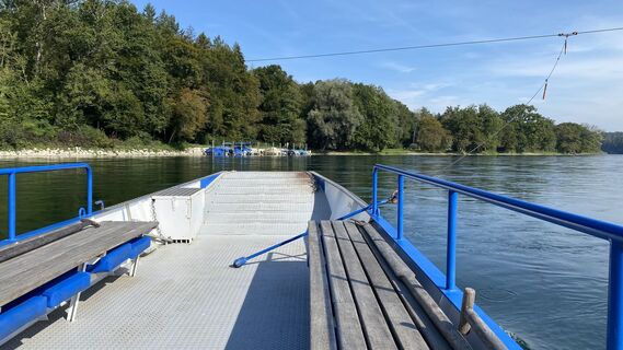 © Werner SchlegelVytvořeno dne 22.09.2024
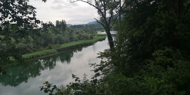
 © ClaudiaVytvořeno dne 06.07.2021
 © ClaudiaVytvořeno dne 06.07.2021
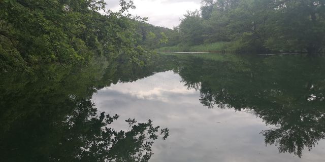 © ClaudiaVytvořeno dne 06.07.2021
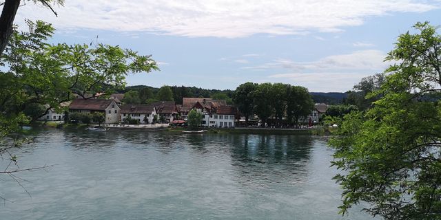 © ClaudiaVytvořeno dne 06.07.2021
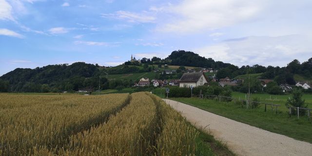 © ClaudiaVytvořeno dne 06.07.2021


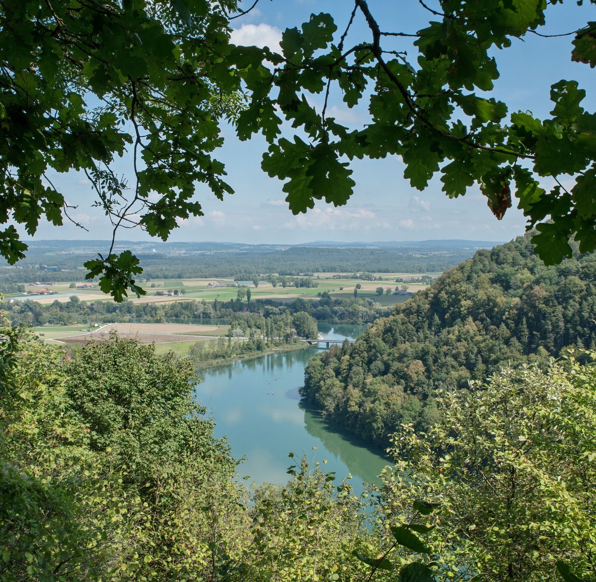
Pure nature awaits you on the Rhine Vine Route. Hike along the banks of the Rhine, observe rare animal species at the "Alt Rhy", relax at the most beautiful picnic spots and enjoy a refreshing dip in the...
Pure nature awaits you on the Rhine Vine Route. Hike along the banks of the Rhine, observe rare animal species at the "Alt Rhy", relax at the most beautiful picnic spots and enjoy a refreshing dip in the wonderfully cool water. Breathtaking views and many nature experiences await you on this family-friendly hike.
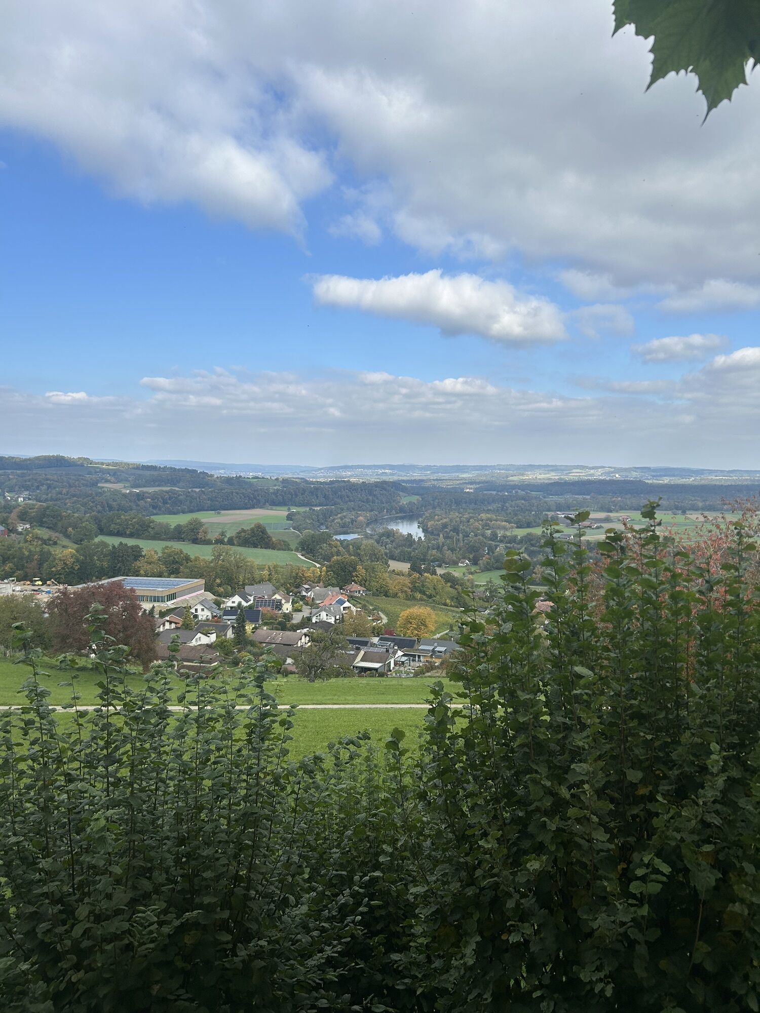
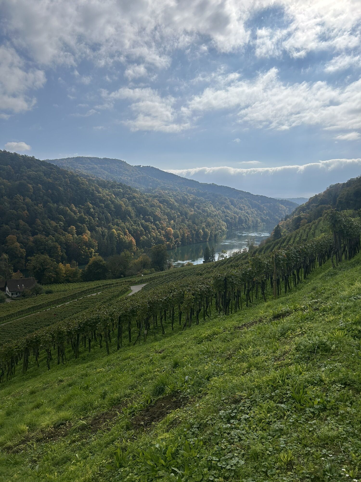
The varied route of the Rhine Vine Route offers a wide range of culinary and natural highlights. Visit the nature park communities in the lower part of the canton of Schaffhausen and Germany.
A ramble along the banks of the Rhine with idyllic bathing spots awaits you!

This route starts in the German municipality of Jestetten, which is easy to reach by public transport. From Jestetten railroad station, follow the yellow and white hiking trail signs (on the streetlights) to the sports field. You walk along Saarstrasse and cross the large Schaffhauserstrasse. From here, the sports field is also signposted. At the sports field, continue straight ahead until you reach the fields. You will find the hiking trail sign again on the right by a walnut tree. Continue along the hiking trail past the dog sports field. Later, turn right towards Römerbrücke/Balm according to the signpost. After a short stretch through the forest, carefully cross Volkenbachstrasse and then come to the Römerbrücke bridge.
Roman bridge → Balm
After the Roman bridge, the hiking trail leads you along a narrow path through the forest and back out onto a field path. On this field path, turn left onto a meadow path according to the signpost. This leads you a short distance along the edge of the forest. You will find the hiking trail sign again on the trunk of a prominent single tree to the right of the path. Turn left down the slope to the buildings you recognize. Turn right and then left into the village.
Balm → Giesse riverside meadow
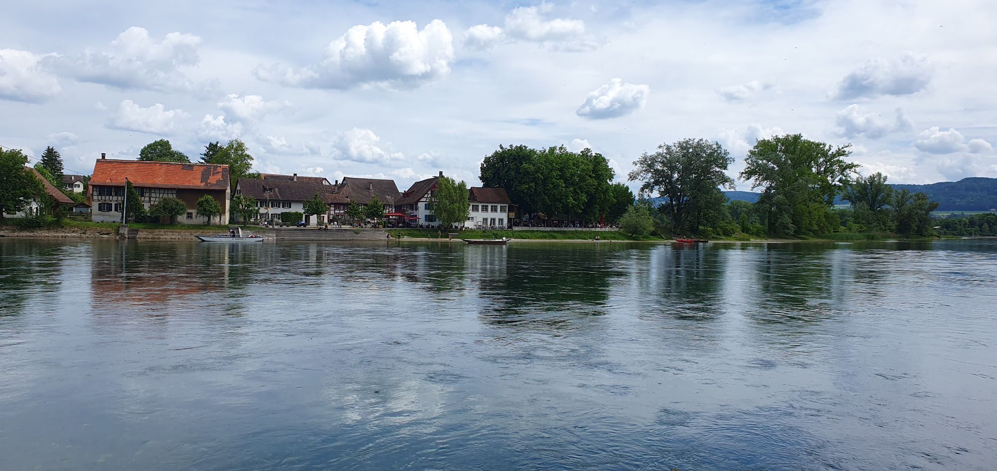
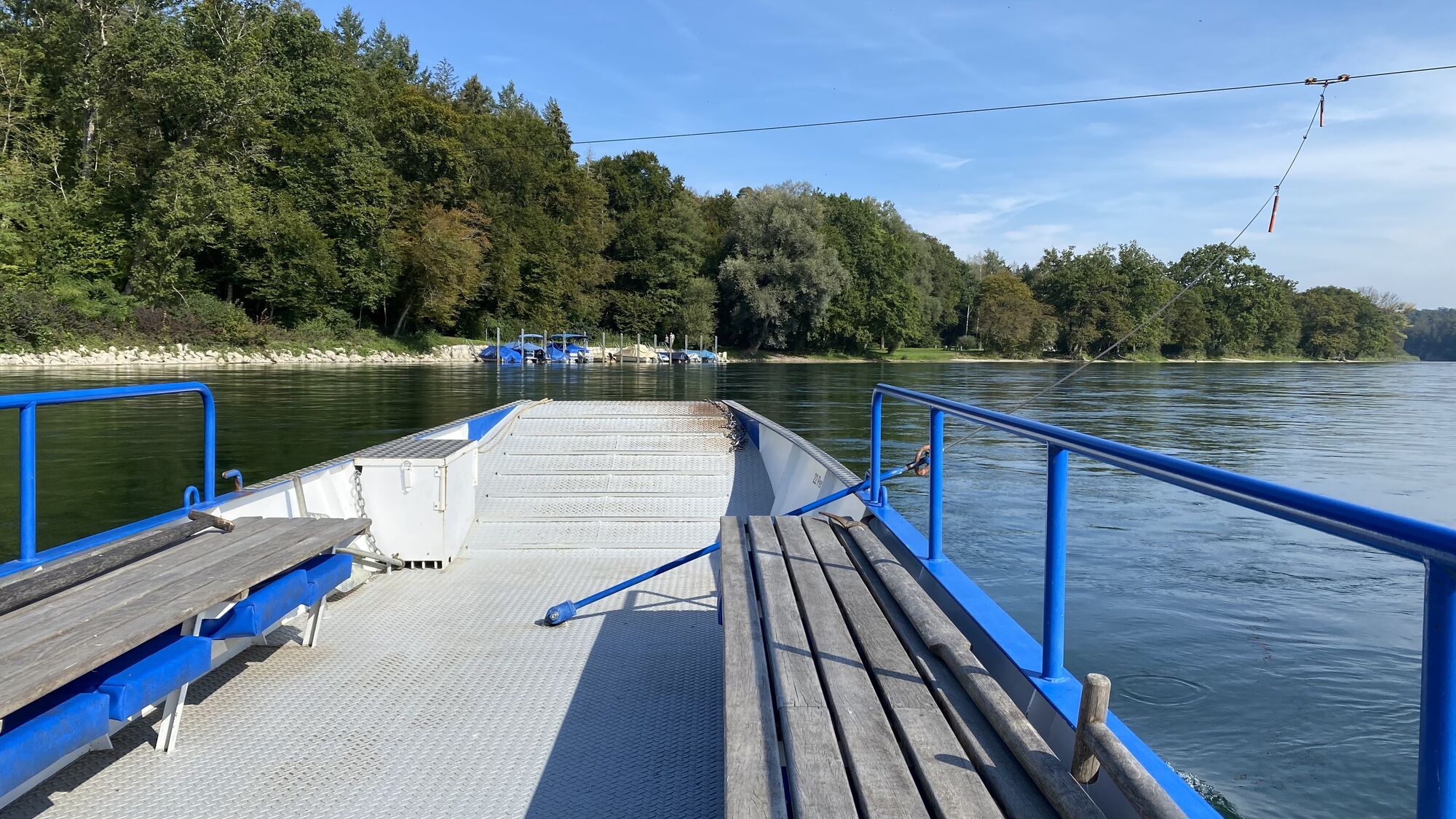
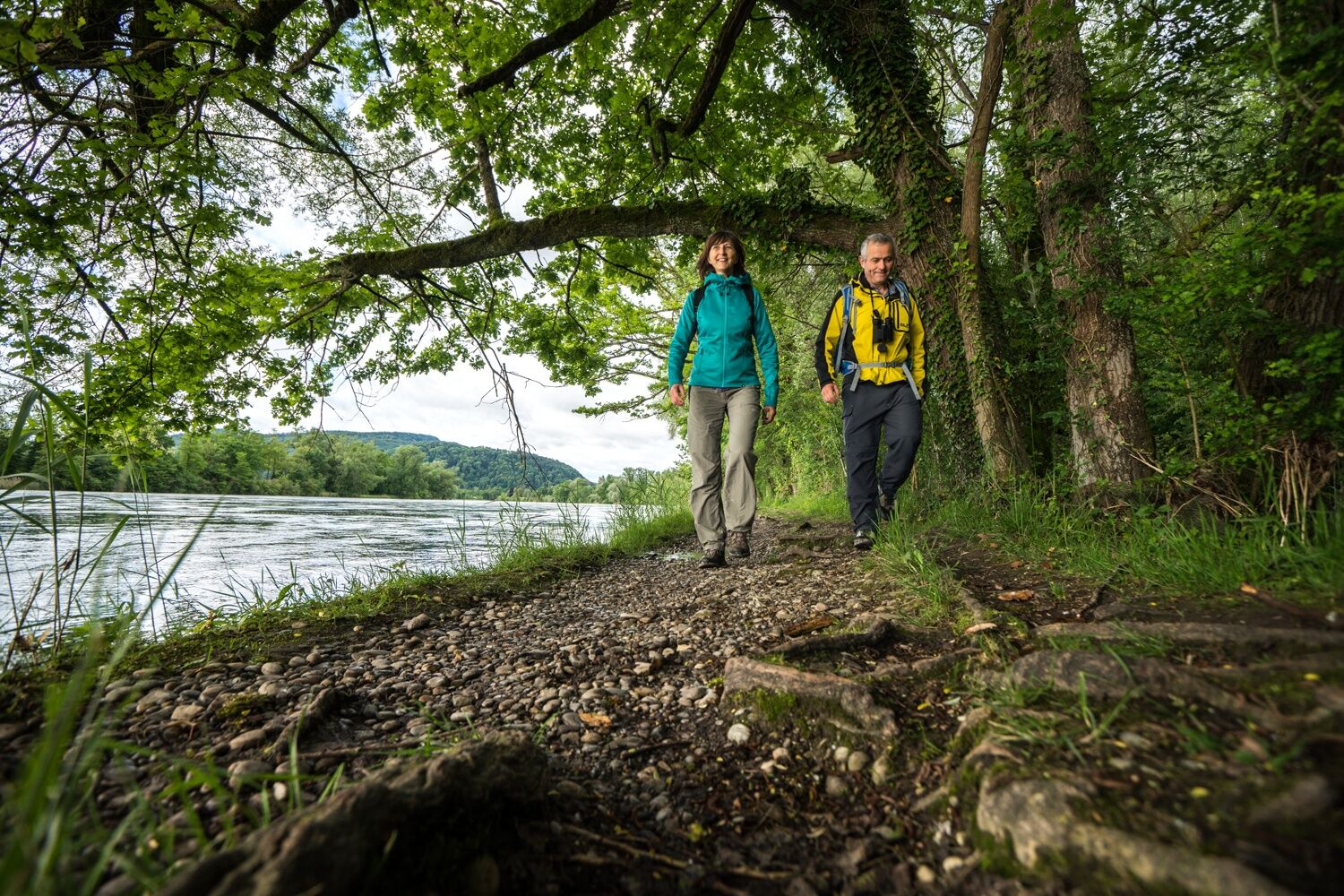
In Balm you will find both German and Swiss signposts. Follow the German signpost with the destination Ferry Ellikon. The path leads through Balm and past the sewage treatment plant on the left towards the forest. Shortly before you enter the forest, the hiking trail turns left down to the Rhine. Following the banks of the Rhine and guided by the yellow and white signs, you will reach the Giesse riverside meadow, which is located directly on the Rhine in the middle of a nature reserve and offers ideal opportunities for a break. You can also take a detour to the other side of the Rhine thanks to the ferry connection that has been operating here since 1500.
Giesse riverside meadow → Along the Rhine
After the Giesse riverside meadow, the German signpost leads to the ferry. Pass it and you will now find the yellow Swiss signposts. Follow these from here in the direction of Rüdlingen - always along the Rhine.
Along the Rhine → Alt Rhy
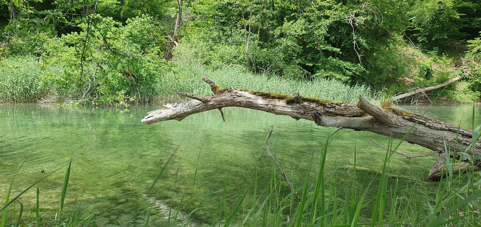
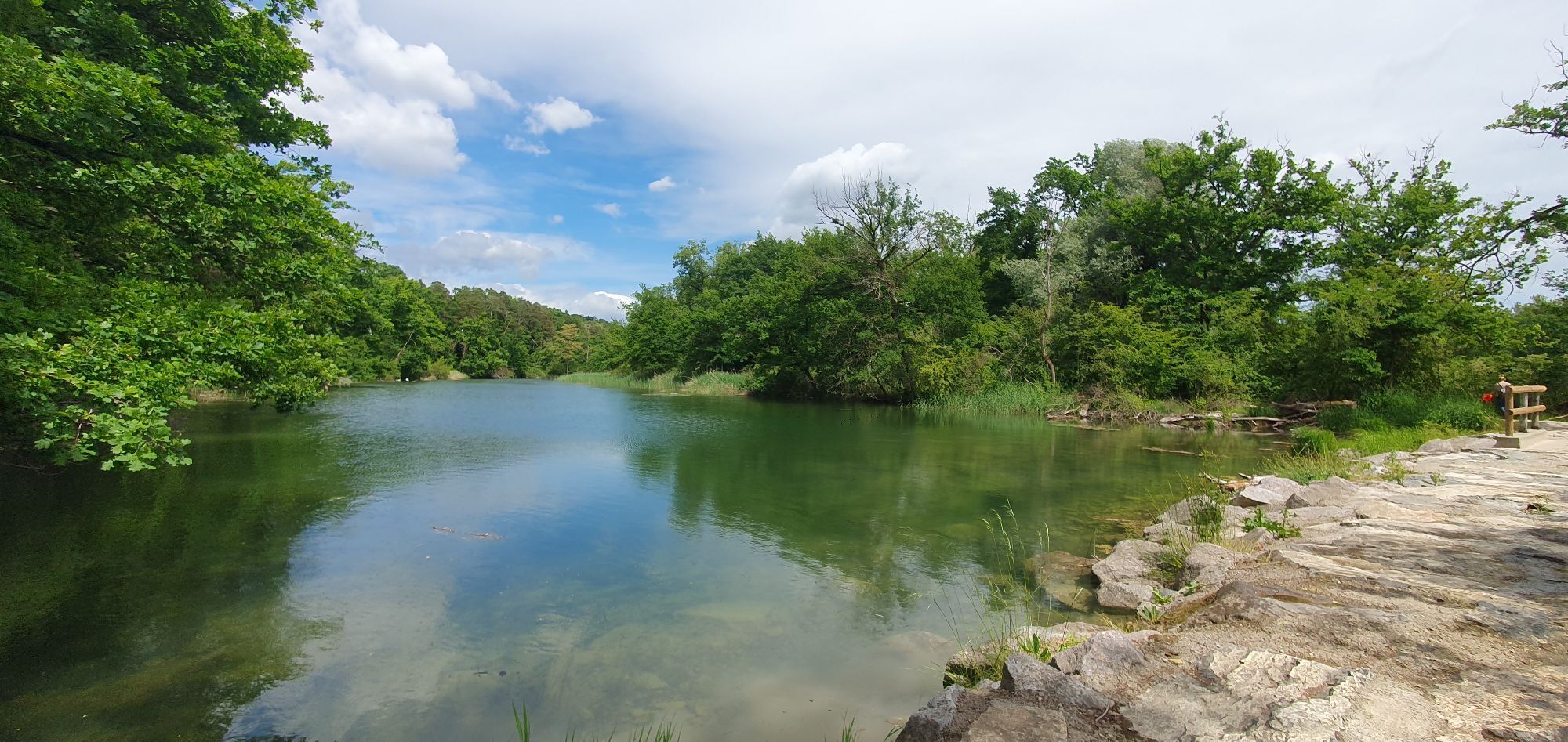
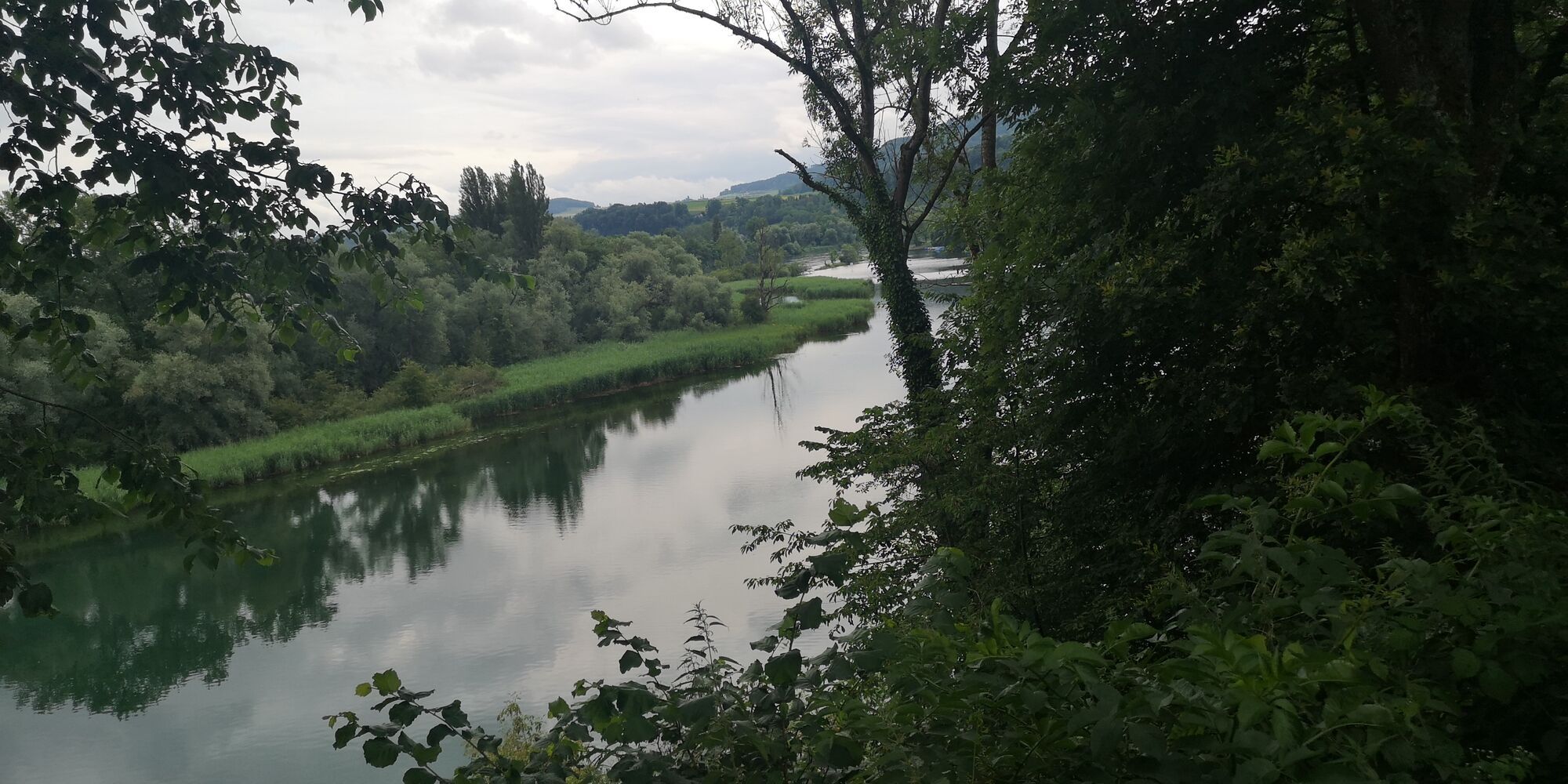
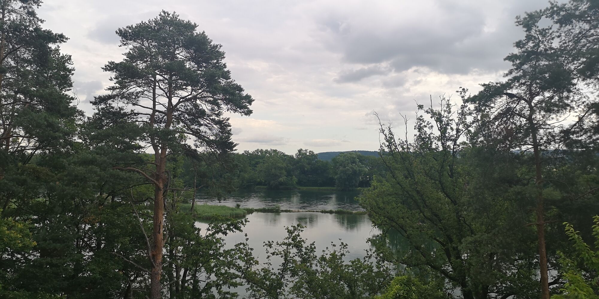
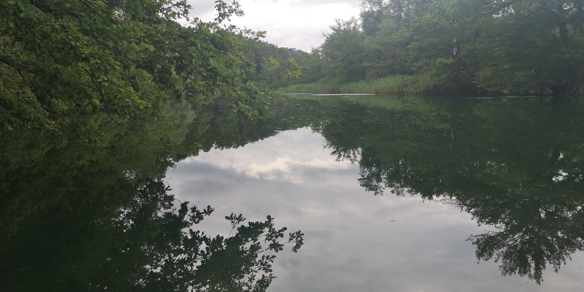
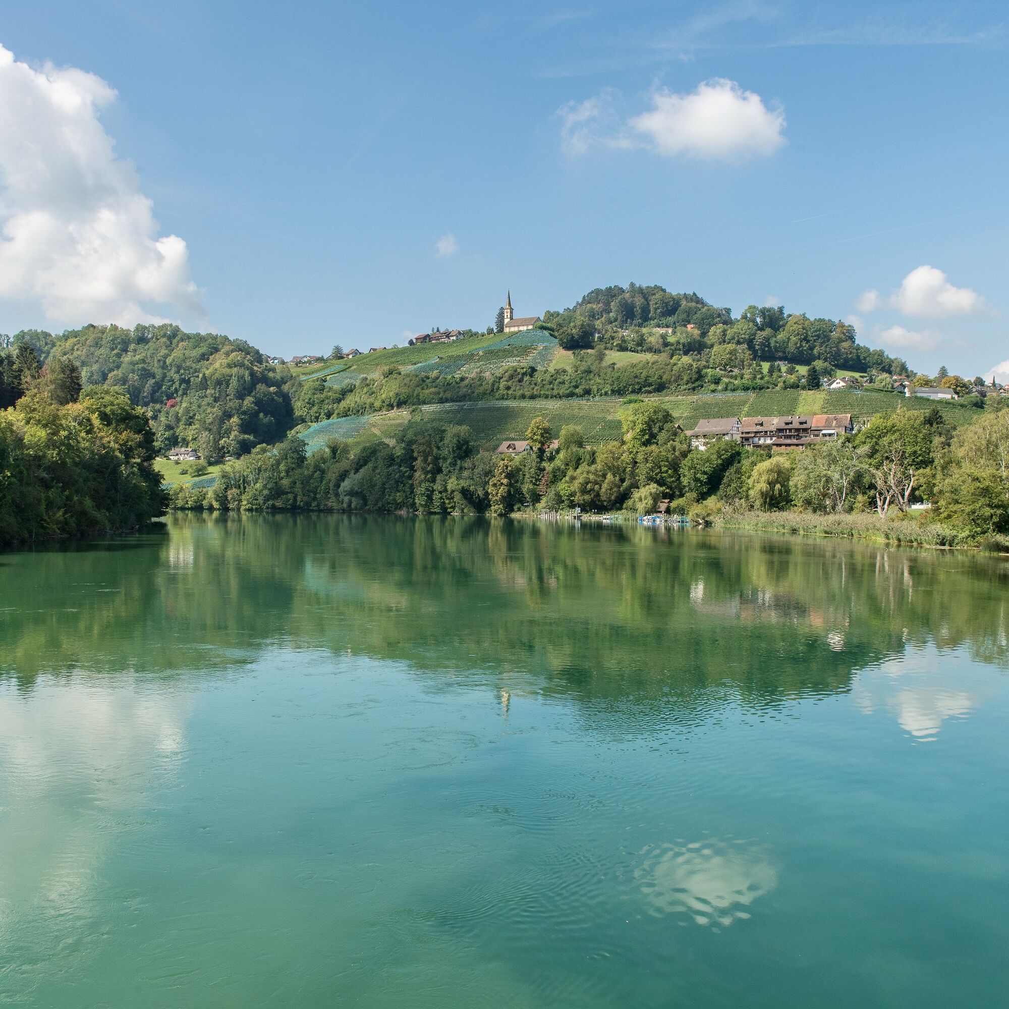
Continue along the hiking trail towards Rüdlingen. This will take you to the crest of the slope above the Alt Rhy. Endangered animals and plants can be observed in the "Alter Rhein" floodplain area. At least 40 different breeding birds have already been recorded here, including the kingfisher. The beaver is also at home here and its tracks can be seen here time and again.
Alt Rhy → Rüdlingen bathing area
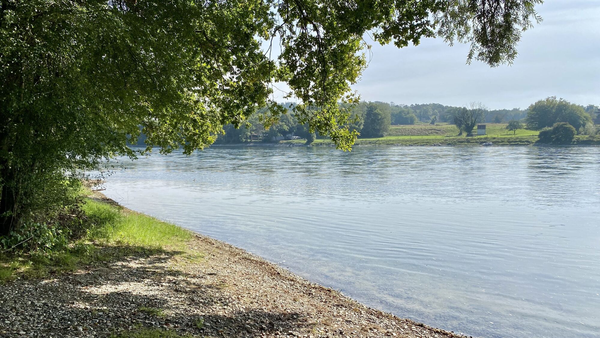
The path leads you along the slope past the Alt Rhy, which you can catch glimpses of again and again. Outside the forest you will find a small viewing point. Continue along the hiking trail, which leads you onto a tarred road and on towards Rüdlingen. The village is already in sight and marked on the signpost, but you continue left towards Tössegg along the Rhine and the edge of the forest to reach the Rüdlingen bathing area.
Rüdlingen bathing area → Rüdlingen
From the bathing area, you will find the signpost again at the parking lot. It leads you through a small wetland area, past the sewage treatment plant on the right and into the village of Rüdlingen.
Rüdlingen → Buchberg-Rüdlingen church
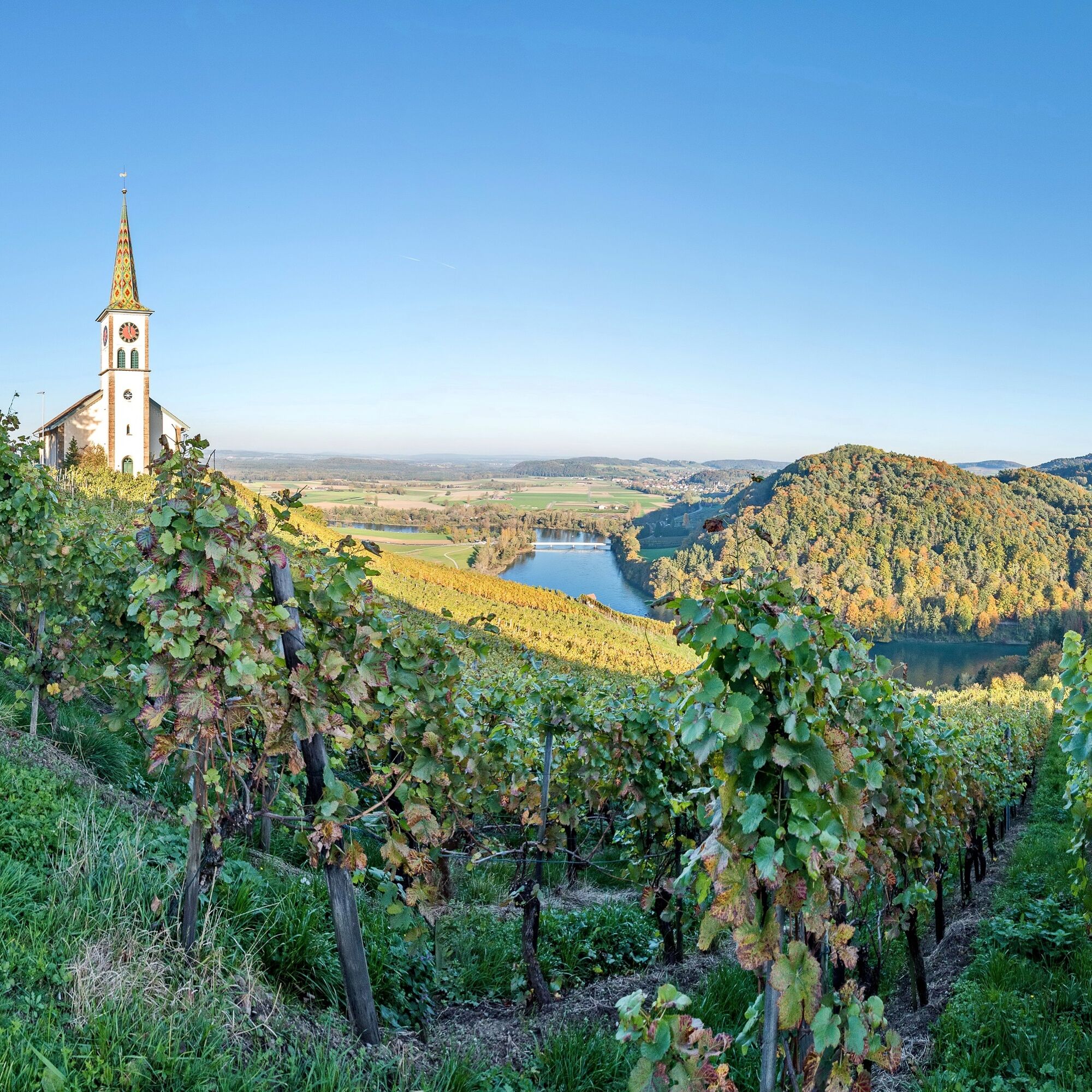
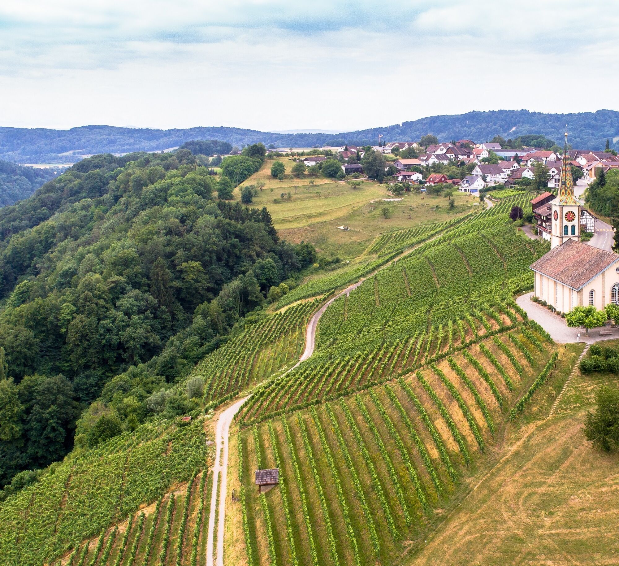
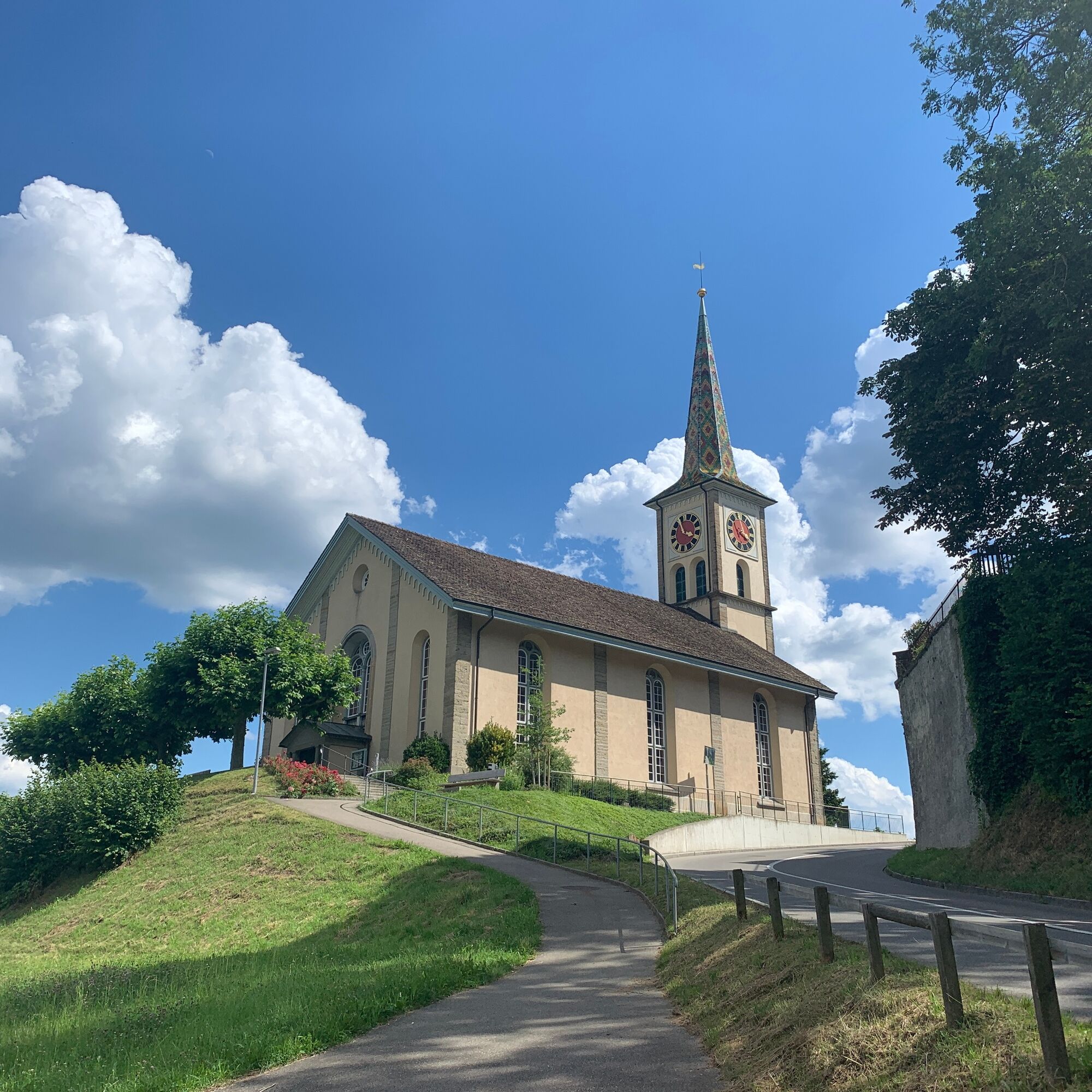
Among the many signposts in the village, you will also find the direction to Buchberg-Rüdlingen church - but it is well worth taking a walk through the village first. Don't miss the turn-off to the right at one of the village fountains. Pay close attention to the hiking trail signs. Follow the Schuelwegli and walk steeply uphill alongside the vines until you reach Buchberg-Rüdlingen church at the bottom.
Buchberg-Rüdlingen church → Buchberg
Follow the hiking trail to the left around Buchberg-Rüdlingen church. It leads you along the main road to the village center. You will find the bus stop directly in front of the Volg supermarket
Witnesses and stories from the time of the Romans and Celts await you along the way.
Ano
Ano
Good shoes, drinks and snacks for in between.
Starting point: Jestetten train station
Route planner
Starting point: Jestetten train station
Accessible by train from Schaffhausen.
Buchberg - Jestetten by bus, duration: 25min.
Parking spaces are available in Jestetten.
Go stalking along the way and discover one of the rare bird species that live here.
Enjoy the hike along the Rhine
Oblíbené prohlídky v okolí
- 4.6
Small Rheinfall Circular Route
světloTuristika 3.48 km - 4.8
Rundwanderweg Rheinau
světloTuristika 6.85 km - 5.0
Circular hike over the Hinterranden
středníTuristika 11.0 km SwitzerlandMobility 896: Rhine Falls Circular Route
středníTuristika 7.12 km- 4.8
Flaach - Ellikon - Flaach
Turistika 12.0 km Circular hike Schaffhausen - Rhine Falls - Schaffhausen
středníTuristika 10.0 kmIn-Vino-Veritas Trail Hallau
středníTematická stezka 6.94 kmStein am Rhein – Schaffhausen round route
středníJízda na kole 39.9 km- 4.5
Sculpture Trail
světloTematická stezka 9.23 km Switzerland Mobility 2: Family route Stein am Rhein – Rhine Falls
světloJízda na kole 23.2 km
Pěší turistika a stopování


Nenechte si ujít nabídky a inspiraci pro vaši příští dovolenou
Vaše e-mailová adresa byl přidán do poštovního seznamu.