






3 Forest and meadow round, Wanderglück Schömberg
Úroveň obtížnosti: T1
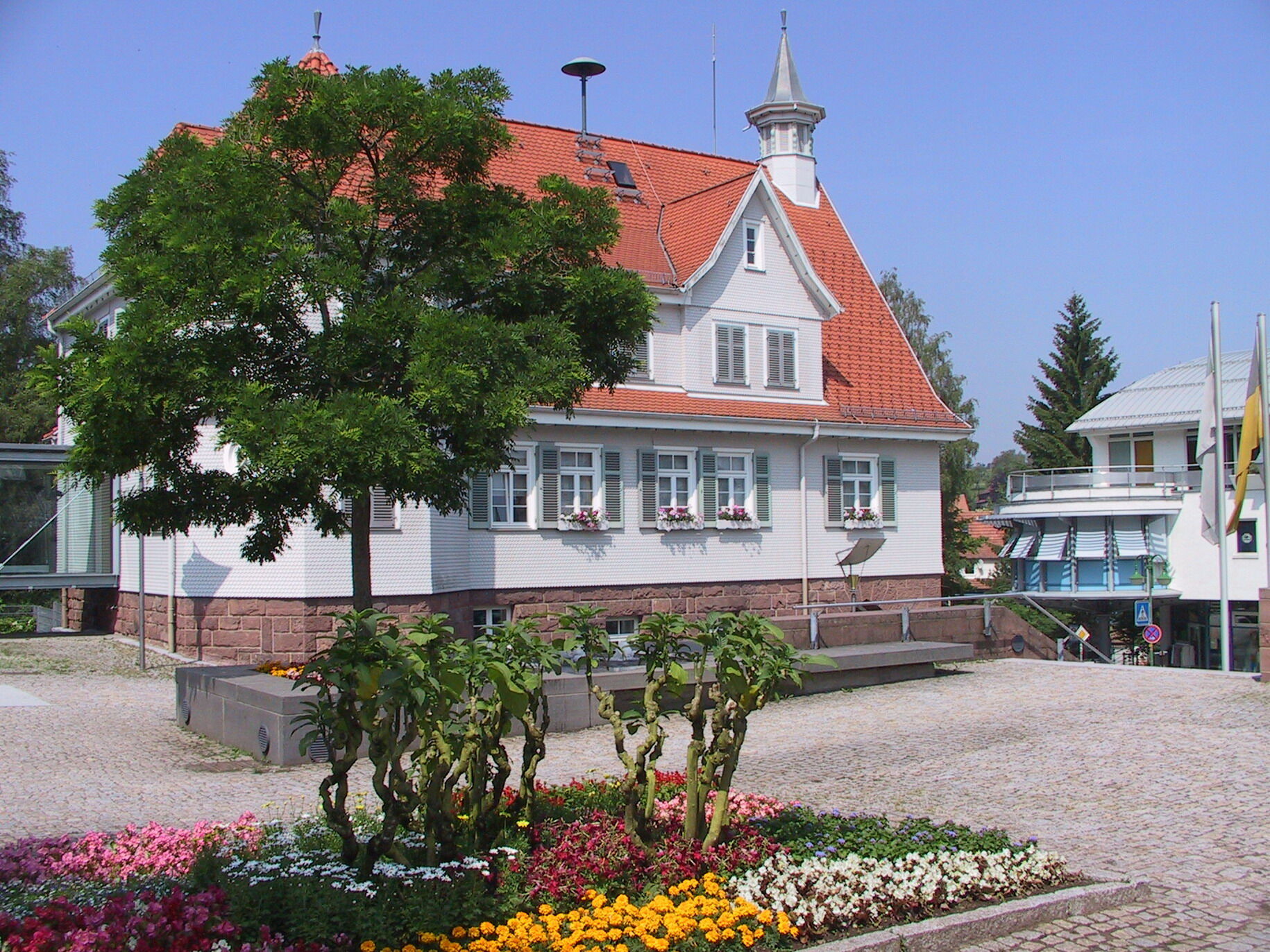
Start Schömberg Tourist Info / Town hall (blue diamond).
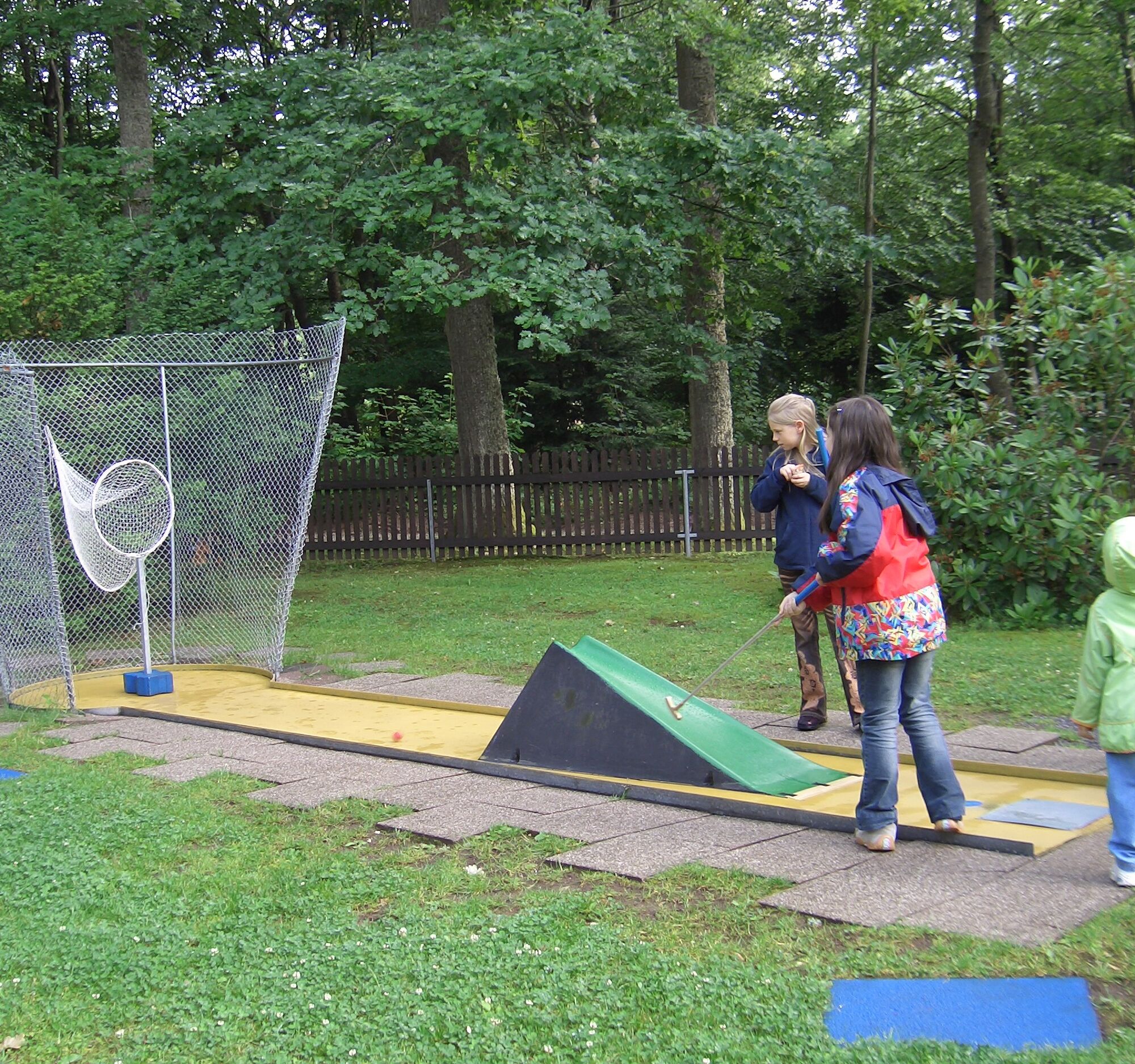
A varied circular hike through the well-maintained Kurpark, continuing over the Schillereiche (shelter and playground) to the wildlife enclosure...
Start Schömberg Tourist Info / Town hall (blue diamond).
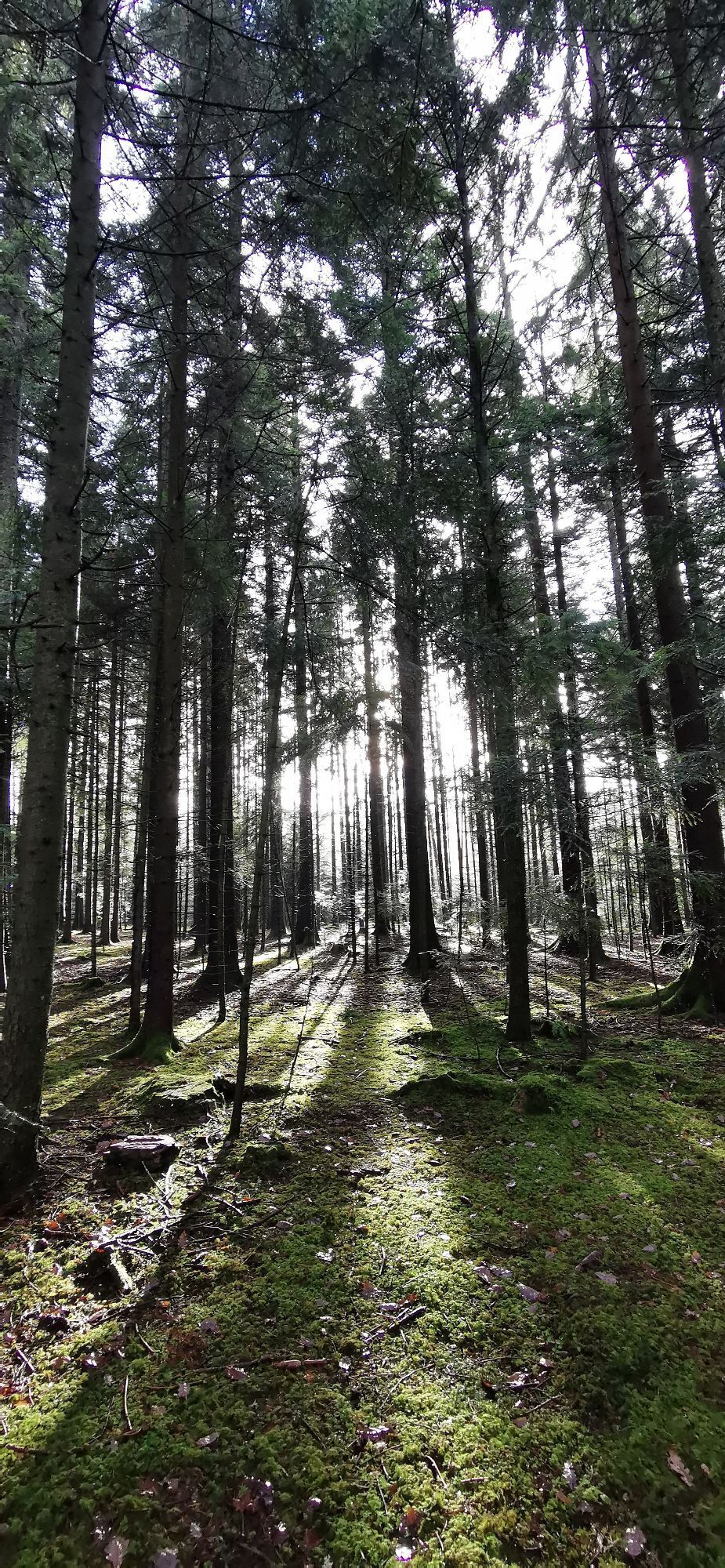
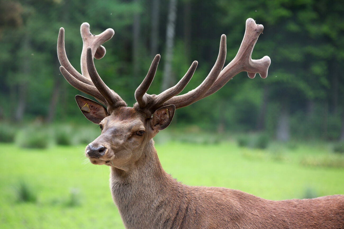
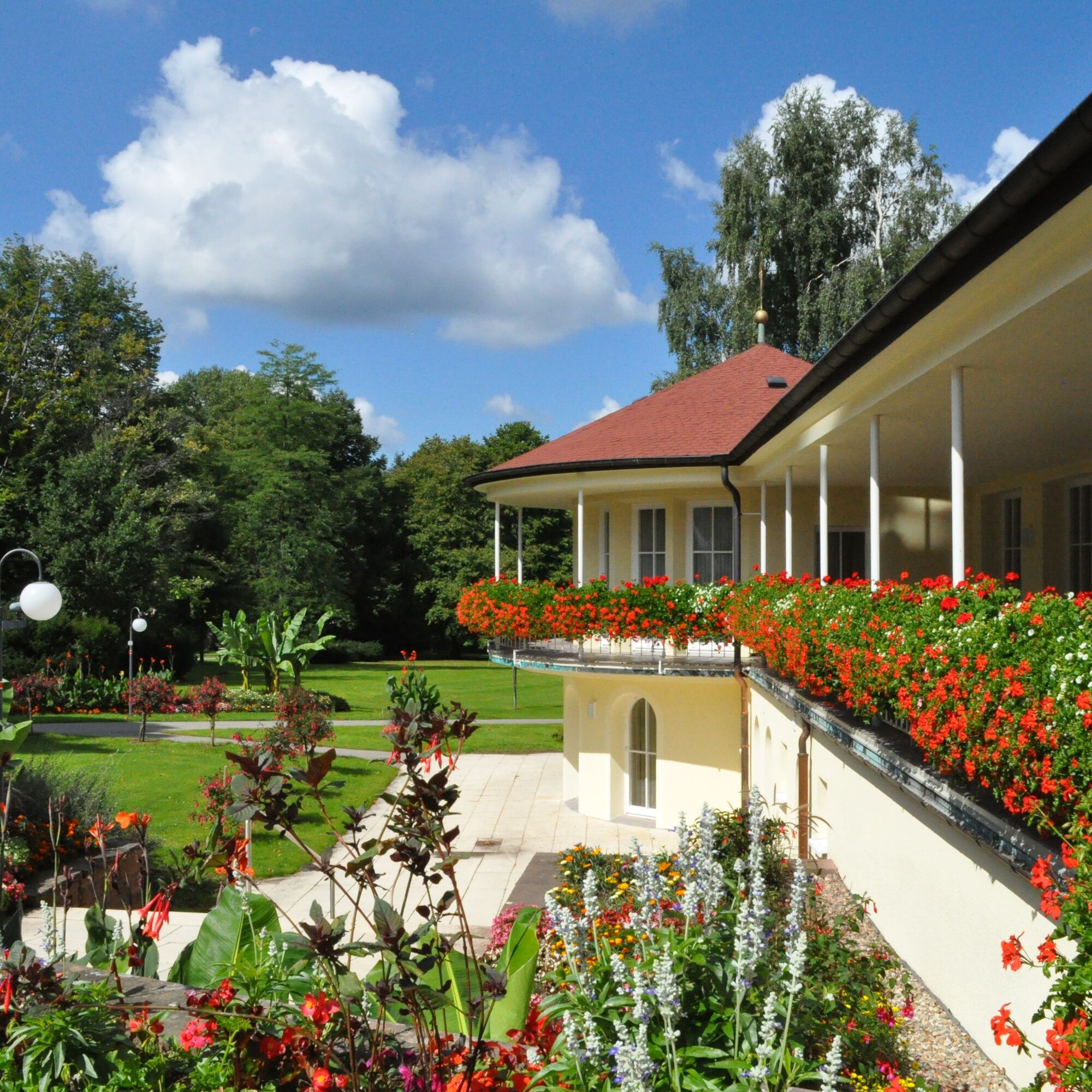
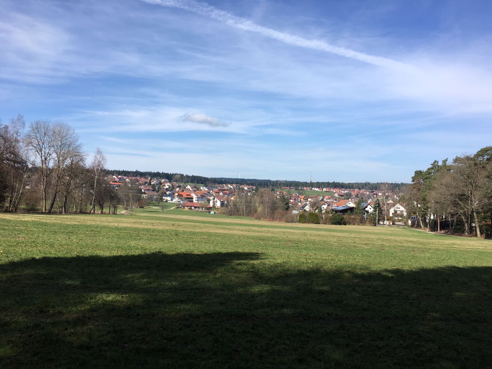
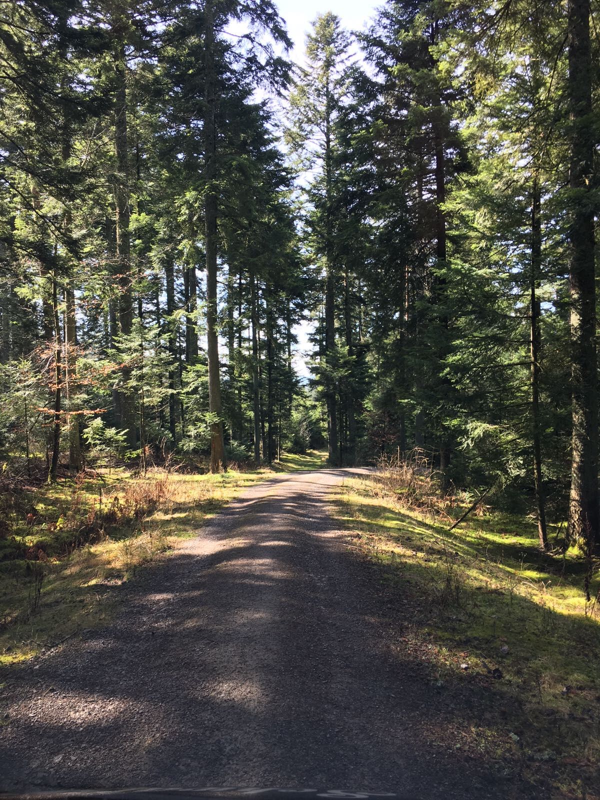
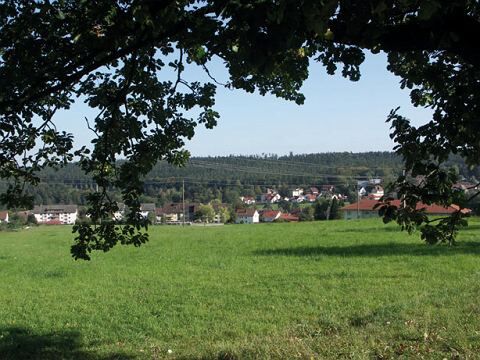
A varied circular hike through the well-maintained Kurpark, continuing over the Schillereiche (shelter and playground) to the wildlife enclosure at Bühlhof. Following the Weinsträßle we reach Langenbrand (possibilities for refreshment at Hotel Ehrich, Hotel Schwarzwald Sonnenhof or at the Gasthaus Hirsch). From the Römerberg it goes downhill into the Eulenbachtal, past the historic Celenus Clinic and over the Kurhaus as well as the Kurpark back to the starting point.

The route has no own signposting but runs on the well signposted network of paths of the Schwarzwaldverein.
Sequence of location names (post names) of the Schwarzwaldverein:
Kurpark (yellow diamond) - Sports field - Schillereiche - WSV clubhouse - Bühl parking lot - Egert - Wildlife enclosure - Kübeleswiese - Eberhardts Ruhe - Holzgasse - Lauchbusch - Römerberg - Under Römerberg - Waldfriede - Reichenbach - Wiesental - Forest sanatorium - Fire brigade (blue diamond) - Kurpark - Tourist Information
Ano
Sturdy footwear and weather-appropriate clothing.
In the forest, typical forest hazards such as uneven ground, roots, broken branches, etc. must always be expected. Pay attention, especially on paths and in steep terrain when hiking, to the ground and consciously place one foot in front of the other. Hiking poles are recommended for hikes with large elevation differences. Closed paths and forest areas must not be entered! Respect the habitats of wild animals and stay on the paths.
From the north: via the A8 from Karlsruhe towards Stuttgart, take the Pforzheim West exit, through Büchenbronn and Salmbach to Schömberg.
From the east: A8 Stuttgart towards Karlsruhe, take Renningen exit. Drive on L295 to Weil der Stadt. Continue via Bad Liebenzell to Schömberg.
From the south: A81 from Singen towards Stuttgart, take the Herrenberg exit and on L296 via Deckenpfronn and Calw to Hirsau. Continue on L463 to Bad Liebenzell. In the town center, turn left to Schömberg.
Destination address: Parkstraße, 75328 Schömberg (free parking at the end of Parkstraße)
By train to Bad Liebenzell (Nagold valley) or Höfen (Enz valley). From there there are bus connections to Schömberg. Get off at the Rathaus stop.
Line 820 from Bad Liebenzell / Schömberg / Höfen
Line 725 from Neuenbürg / Waldrennach
Line 743 from Pforzheim / Engelsbrand / Schömberg / Bieselsberg
Public parking behind the town hall opposite the Catholic church at the end of Parkstraße.
T1
Bring a camera. Not only the Kurpark and the red deer enclosure offer great photo motives.
 Získejte přehled
Vždy živě na místě s více než 9 500 webkamerami. bergfex Jako uživatel Pro si nyní můžete zobrazit odpovídající webové kamery pro mnoho prohlídek v aplikaci prohlídky z. Můžete si tak přímo prohlédnout aktuální podmínky.
Získejte přehled
Vždy živě na místě s více než 9 500 webkamerami. bergfex Jako uživatel Pro si nyní můžete zobrazit odpovídající webové kamery pro mnoho prohlídek v aplikaci prohlídky z. Můžete si tak přímo prohlédnout aktuální podmínky.
Oblíbené prohlídky v okolí
-
4.7
Hiking through the Monbach Gorge in search of the kingfisher
středníTuristika 10.5 km -
5.0
Wild romantic Monbach Valley
světloTuristika 6.25 km -
4.7
Eyach round
středníTuristika 7.84 km -
4.7
Through the wild romantic Schweinbachtal to the Bruderhöhle cave
středníTuristika 13.8 km -
4.5
Wolfsschlucht and Fox Gorge
středníTuristika 9.74 km -
5.0
Der Teinacher (Premiumweg & Genießerpfad)
středníTuristika 12.0 km -
3.0
Dobel High-Altitude Route
středníTuristika 11.8 km -
5.0
Water, Woods and Meadowtrail / Zavelstein > Calw (Premium trail & Genussweg)
heavyTuristika 14.4 km -
5.0
From Bieselsberg into the wild Monbach valley - dream route on small paths
heavyTuristika 18.0 km -
5.0
AugenBlick route Bad Teinach-Zavelstein Zettelberg
heavyTuristika 15.5 km

Pěší turistika a stopování


Nenechte si ujít nabídky a inspiraci pro vaši příští dovolenou
Vaše e-mailová adresa byl přidán do poštovního seznamu.





