


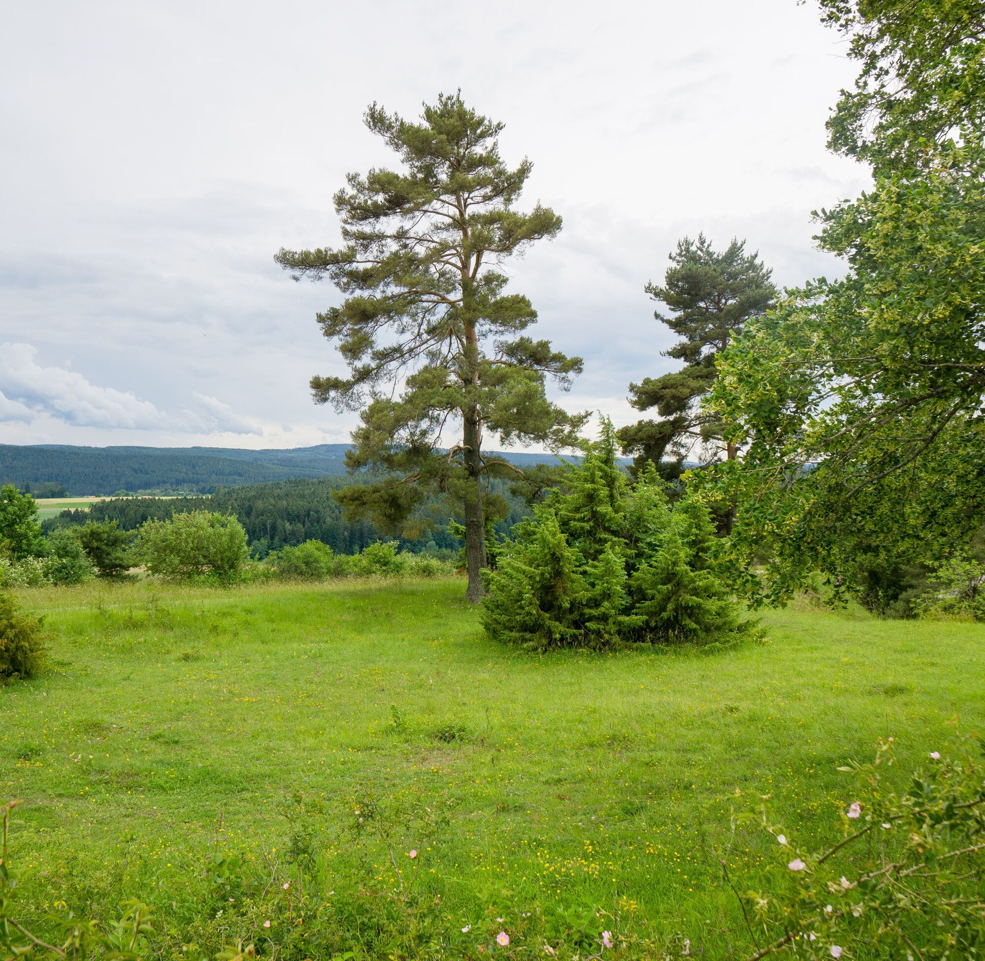
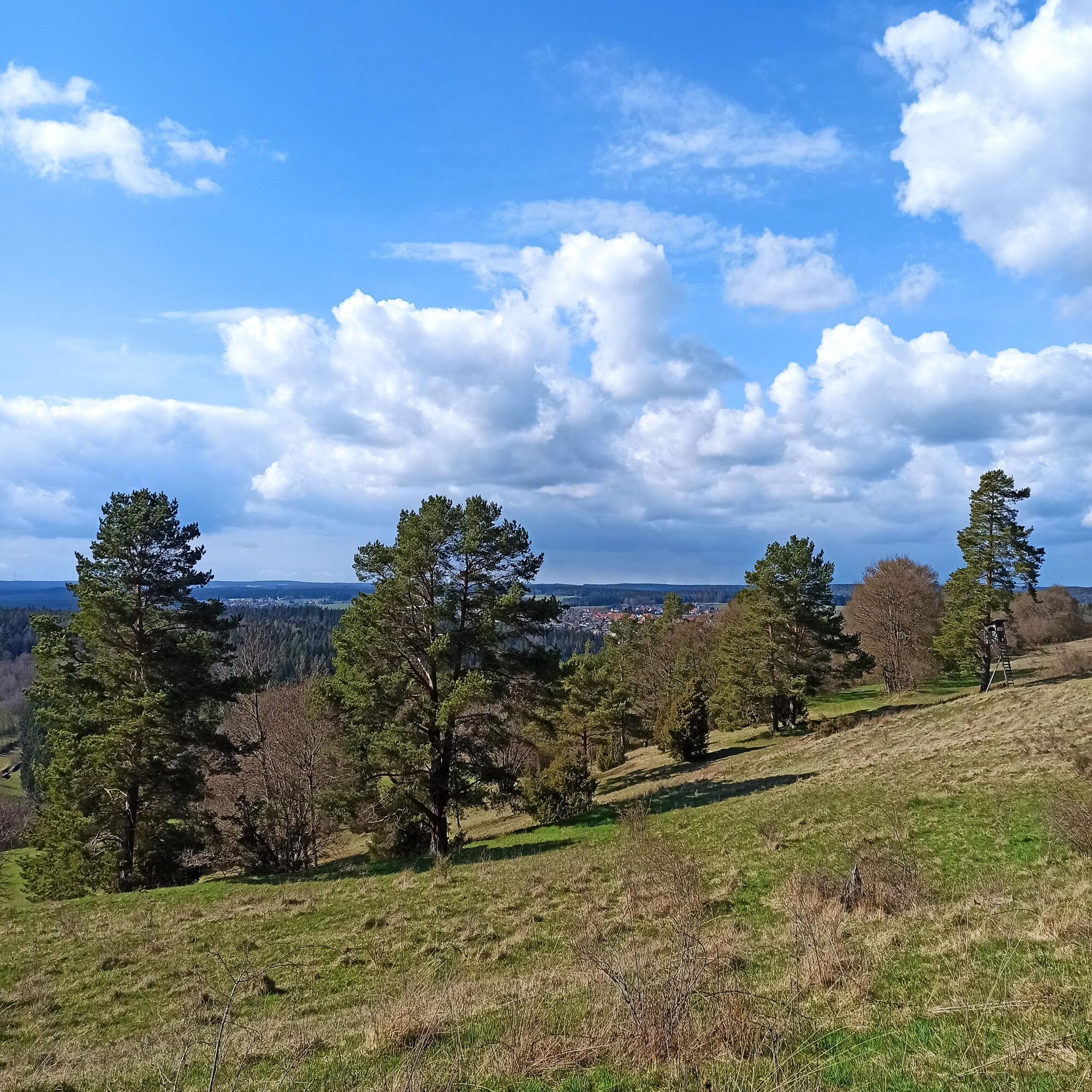
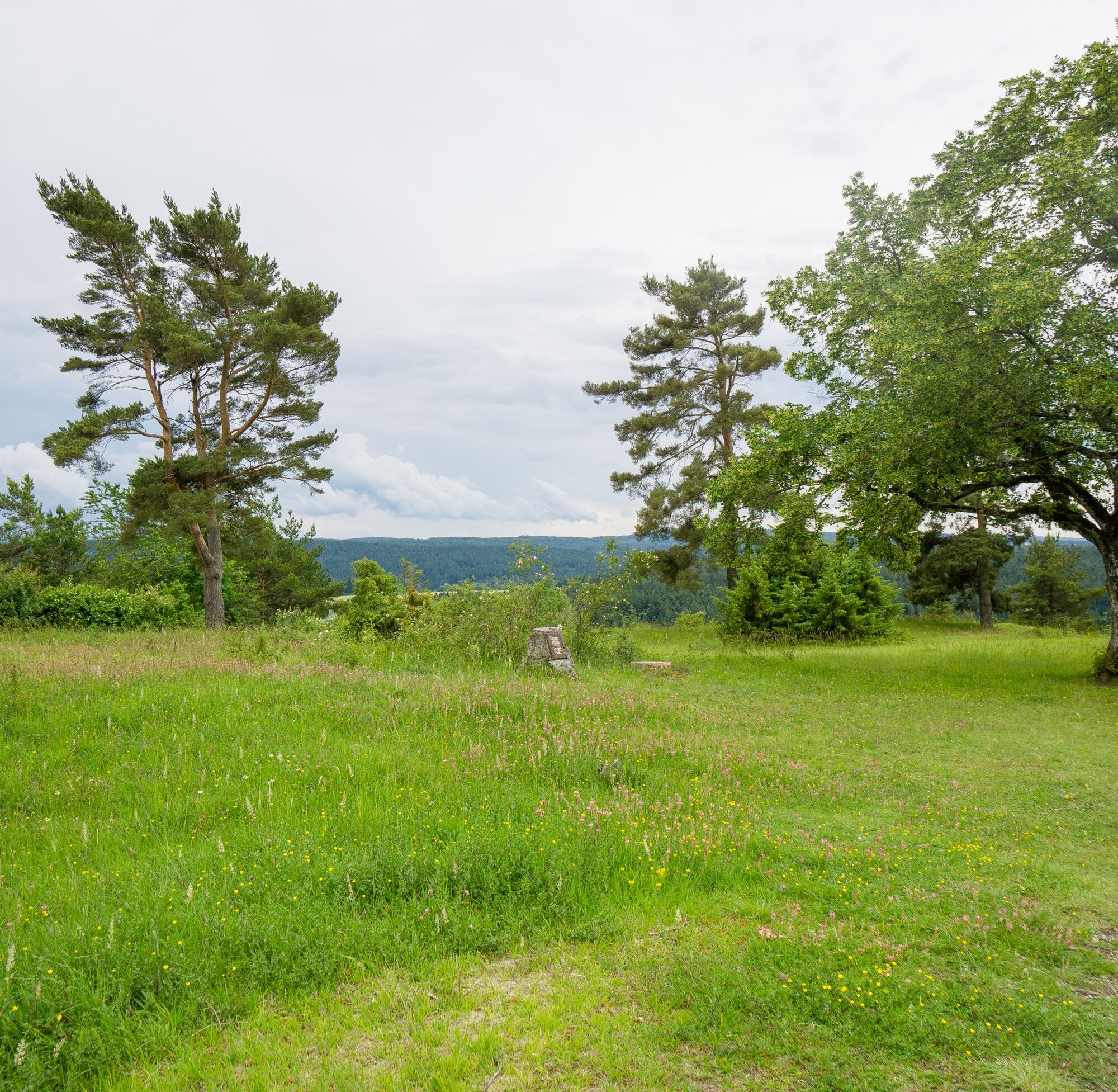
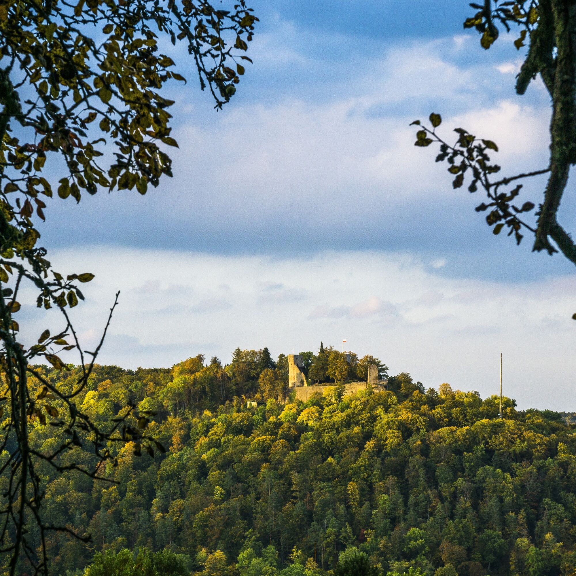
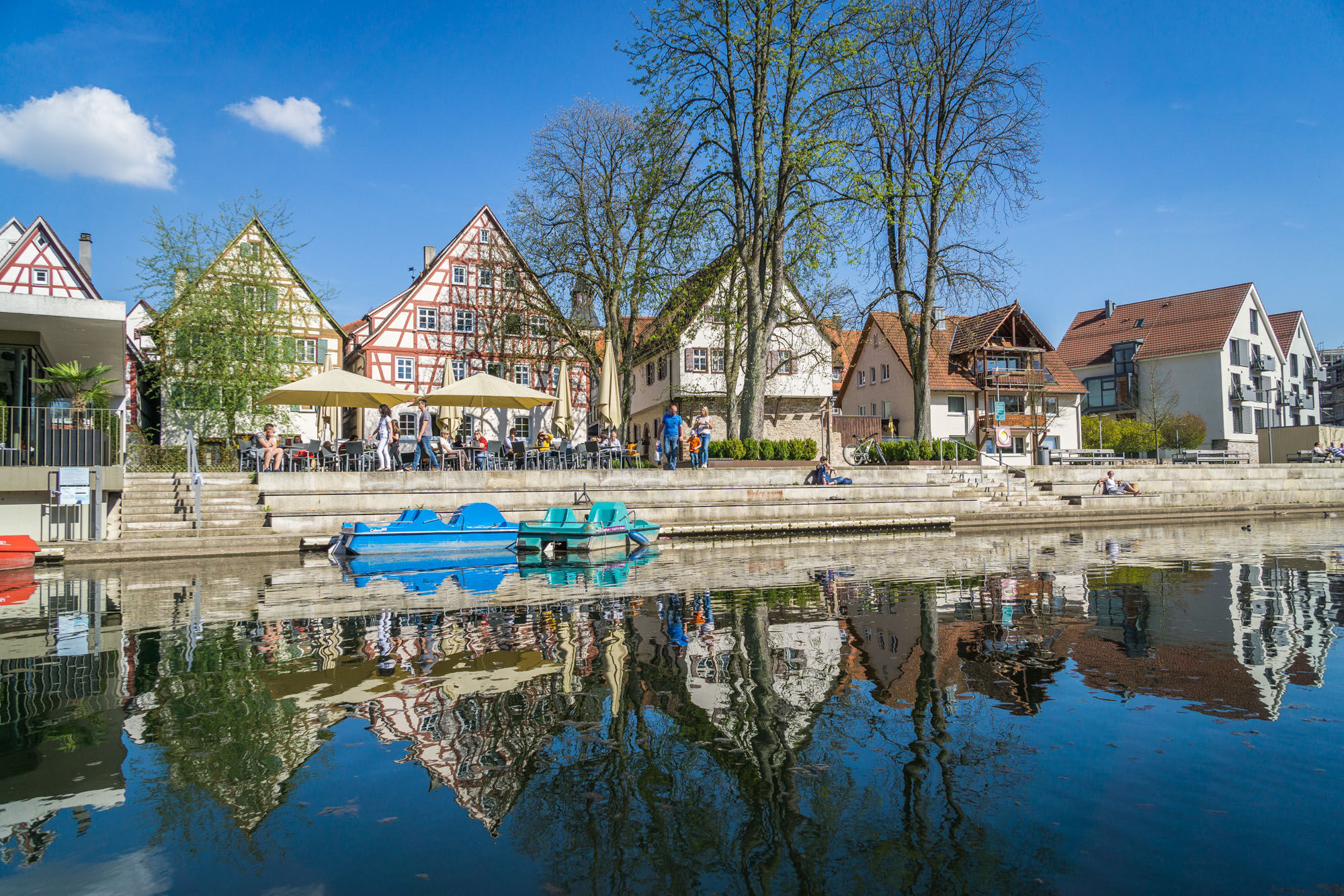
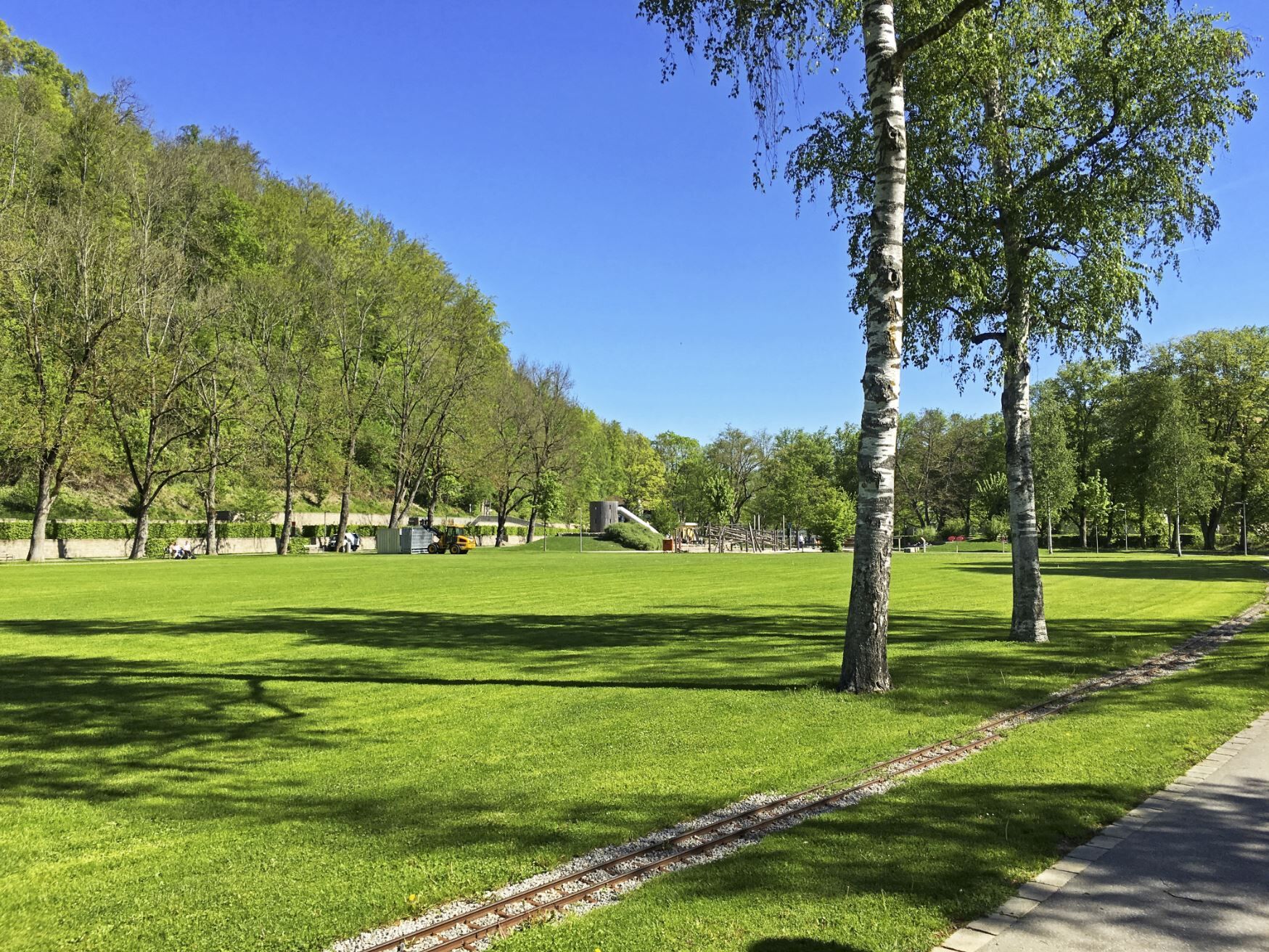
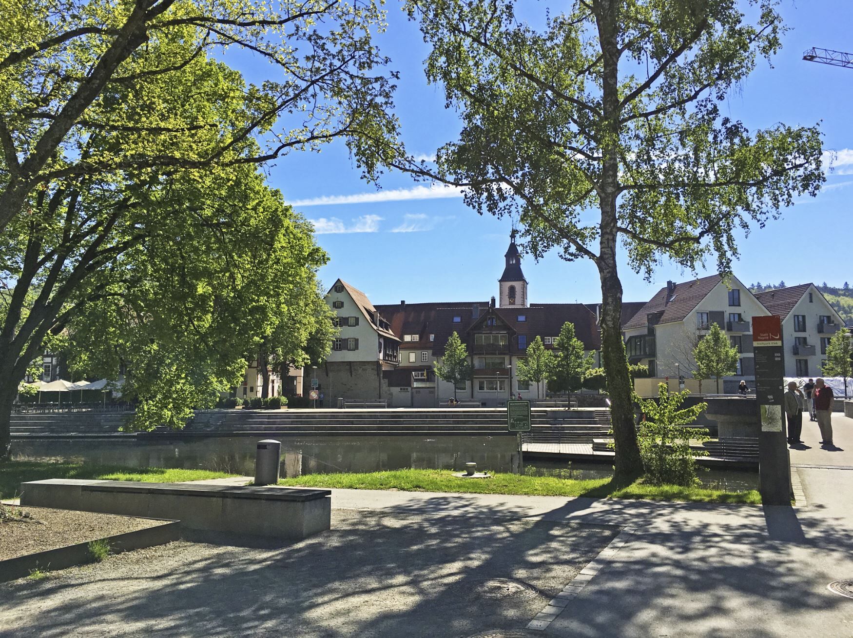
Anniversary hike "50 years of Calw district" - Stage 10 - From Altensteig to Nagold
Places to eat and drink:
Café Wohnzimmer in Altensteig Guesthouse/Bistro Rose in Altensteig Nature Friends House in Nagold Café & Bar Insel Nagold Café Aprilmädchen in NagoldPlaces to eat and drink:
Café Wohnzimmer in Altensteig Guesthouse/Bistro Rose in Altensteig Nature Friends House in Nagold Café & Bar Insel Nagold Café Aprilmädchen in Nagold
The hiking routes run almost exclusively on the signposted network of the Black Forest Association. Follow the signposts and diamonds!
Bus stop Altensteig marketplace/town hall - WWS Altensteig marketplace - WWS Altensteig Brunnenhäusle - WWS Lower Reute - WWS Middle Reute - WWS Old Bernecker Way - WWS Hirschgraben - WWS Bömbach - WWS Täschacker - WWS Panorama Path - WWS Denzweg - WWS Chaussee - WWS Oberschwandorf village center - WWS Mäuerlesäcker - WWS Buttenmühle - WWS Schafhaussteige - WWS Lemberg sink - WWS Häfele hut - WWS Nagold bathing jetty - WWS Growing Church - Bus stop Nagold central bus station
Sturdy, broken-in footwear, (digital) maps, stamp book, provisions, possibly hiking sticks, rainproof clothing
Federal road from Nagold to Freudenstadt
The bus line X77 runs every 60 minutes from Altensteig via Nagold to Herrenberg.
The bus line 772 runs from Altensteig to Nagold.
Parking garage behind the town hall
Tourism GmbH Northern Black Forest
Sonnenweg 5
75378 Bad Liebenzell
07052-8169770
Oblíbené prohlídky v okolí
- 5.0
Der Teinacher (Premiumweg & Genießerpfad)
středníTuristika 12.0 km - 5.0
GeoTour Wildberg through the picturesque Lützenschlucht
heavyTuristika 2.80 km Exciting circular hike with beautiful views and culture
středníTuristika 9.98 km- 4.0
Naturpark-AugenBlick-Runde Calw-Holzbronn
středníTuristika 13.3 km - 3.0
Ecological nature trail around Bad Teinach
středníTuristika 7.04 km - 5.0
Altensteig Nature Adventure Trail
středníTuristika 11.6 km - 5.0
Above the clouds towards Wildberg
středníTuristika 8.15 km - 5.0
Fairytale-like Morgental
světloTuristika 17.0 km - 4.0
Nature Park AugenBlick route Egenhausen
středníTuristika 11.3 km Reizvolles Zinsbachtal
středníTuristika 17.8 km

Pěší turistika a stopování


Nenechte si ujít nabídky a inspiraci pro vaši příští dovolenou
Vaše e-mailová adresa byl přidán do poštovního seznamu.