


Around the Lämmerbuckel
Úroveň obtížnosti: T2
The small town of Wiesensteig lies picturesquely embedded in the steep slopes of the Swabian Alb and is a state-recognized recreation area.
An extensive network of hiking trails crosses the Alb plateau...
The small town of Wiesensteig lies picturesquely embedded in the steep slopes of the Swabian Alb and is a state-recognized recreation area.
An extensive network of hiking trails crosses the Alb plateau and offers beautiful hiking opportunities with attractive viewpoints (rock needle "Steinerne Weib") for both casual walkers and avid hikers.
A popular excursion destination for young and old is the Fils spring. The source rises in an idyllic valley and makes its way past beautiful meadows. For many centuries, Wiesensteig has charmed through its apparent pristine nature, authenticity, and the hospitality of its residents.
Town of Wiesensteig
Hauptstraße 25 | 73349 Wiesensteig
07335 9620-0 | info@wiesensteig.de | www.wiesensteig.de

The circular route begins at the town hall in Wiesensteig, in the heart of the historic town center. The first section leads past the impressive collegiate church of St. Cyriakus, which forms the center of the small town. From there, it continues up to the Malakoff, the presumed site of the Benedictine monastery founded in 861. From this viewpoint, there is a beautiful view of the charming small town.
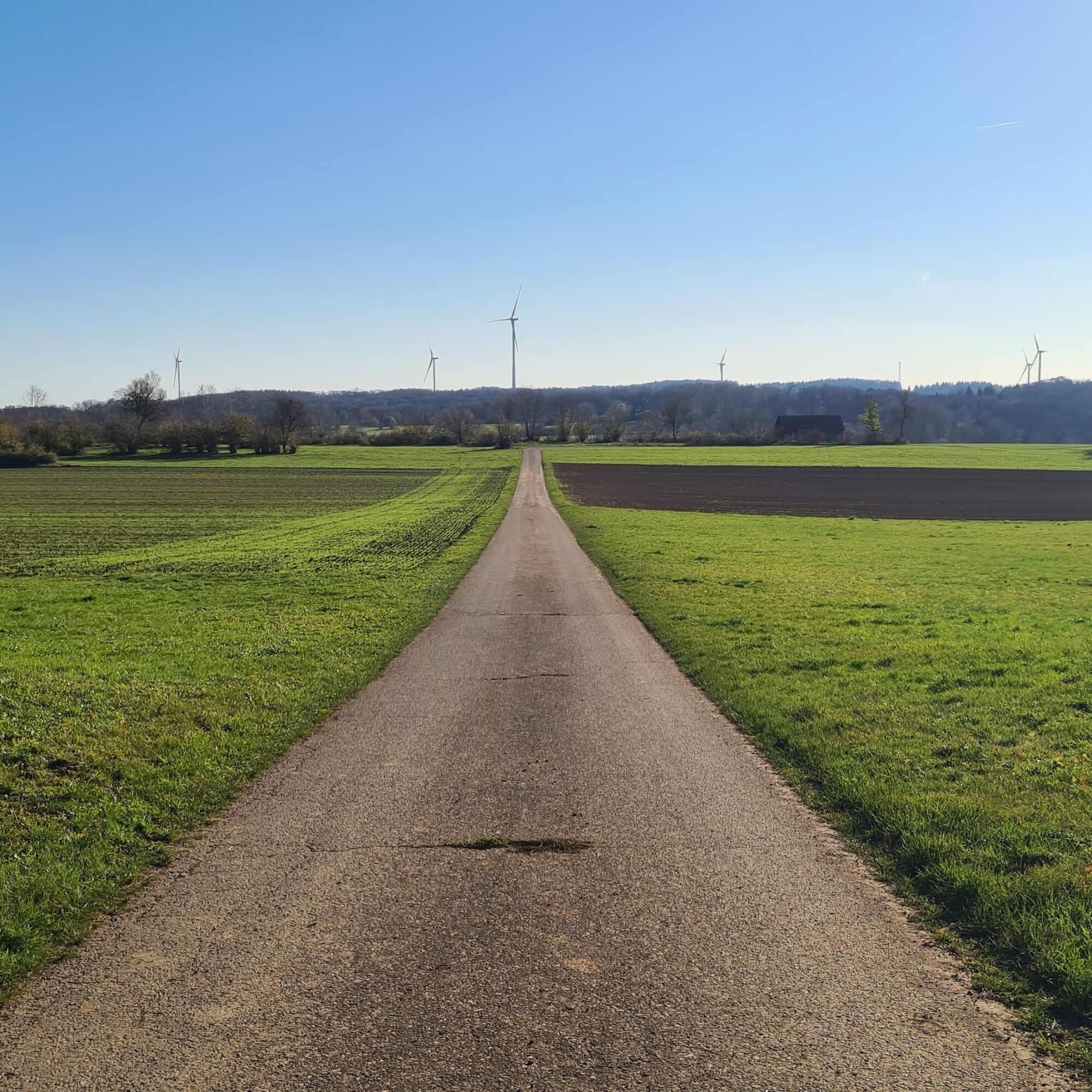
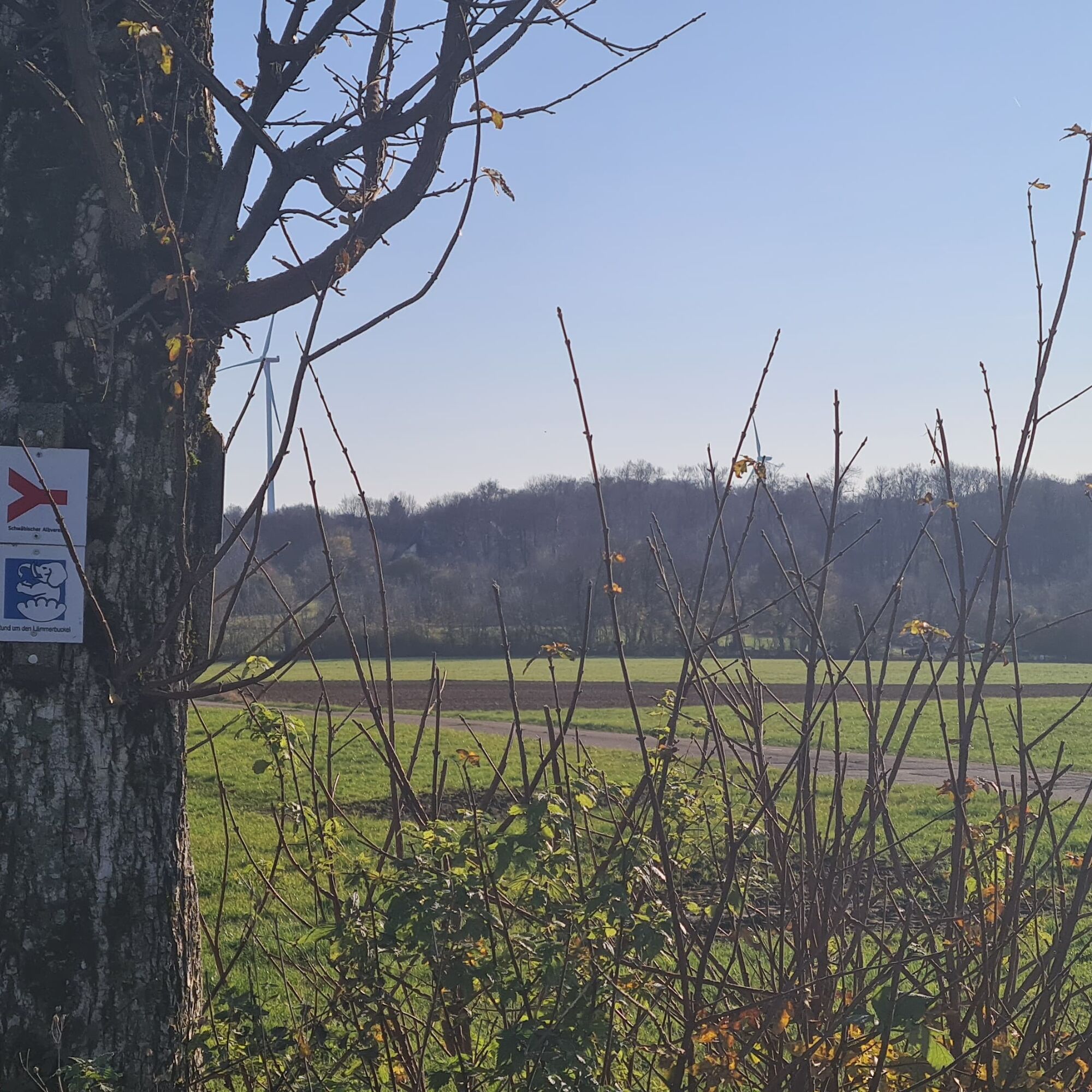
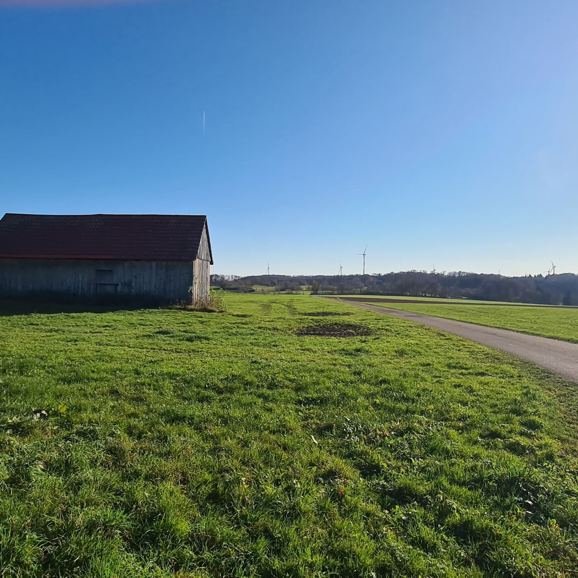
The path then goes under the imposing highway viaduct and over a trail to the famous rock needle "Steinerne Weib". Afterwards, it continues over the Pferchfeld towards Haus Lämmerbuckel. From there, it is only a few steps to the wind park in the Gewann Raller area. A picturesque forest path finally brings the hikers back to Wiesensteig. There, an idyllic scene awaits: the Wiesensteiger Tälbesbad located along the Fils river.
Wear sturdy, slip-resistant footwear and weather-appropriate clothing. A backpack with water, snacks, and a first aid kit is recommended.
Some paths can be slippery and dangerous when wet. Watch your step and use hiking poles for stability if needed.
Wiesensteig is located directly on the BAB A 8 Stuttgart-Munich: Exit Wiesensteig/Mühlhausen. From Mühlhausen im Täle it is still 4 km to Wiesensteig.
Take RE 5 or MEX 16 to Göppingen or Geislingen. Then take bus line 981 from Göppingen or line 966 from Geislingen to "Wiesensteig Town Hall."
You can find the circular timetable at: www.vvs.de/fahrplan
Schloss parking lot Wiesensteig
T2
Respectful coexistence in the district of Göppingen.
Code of conduct:
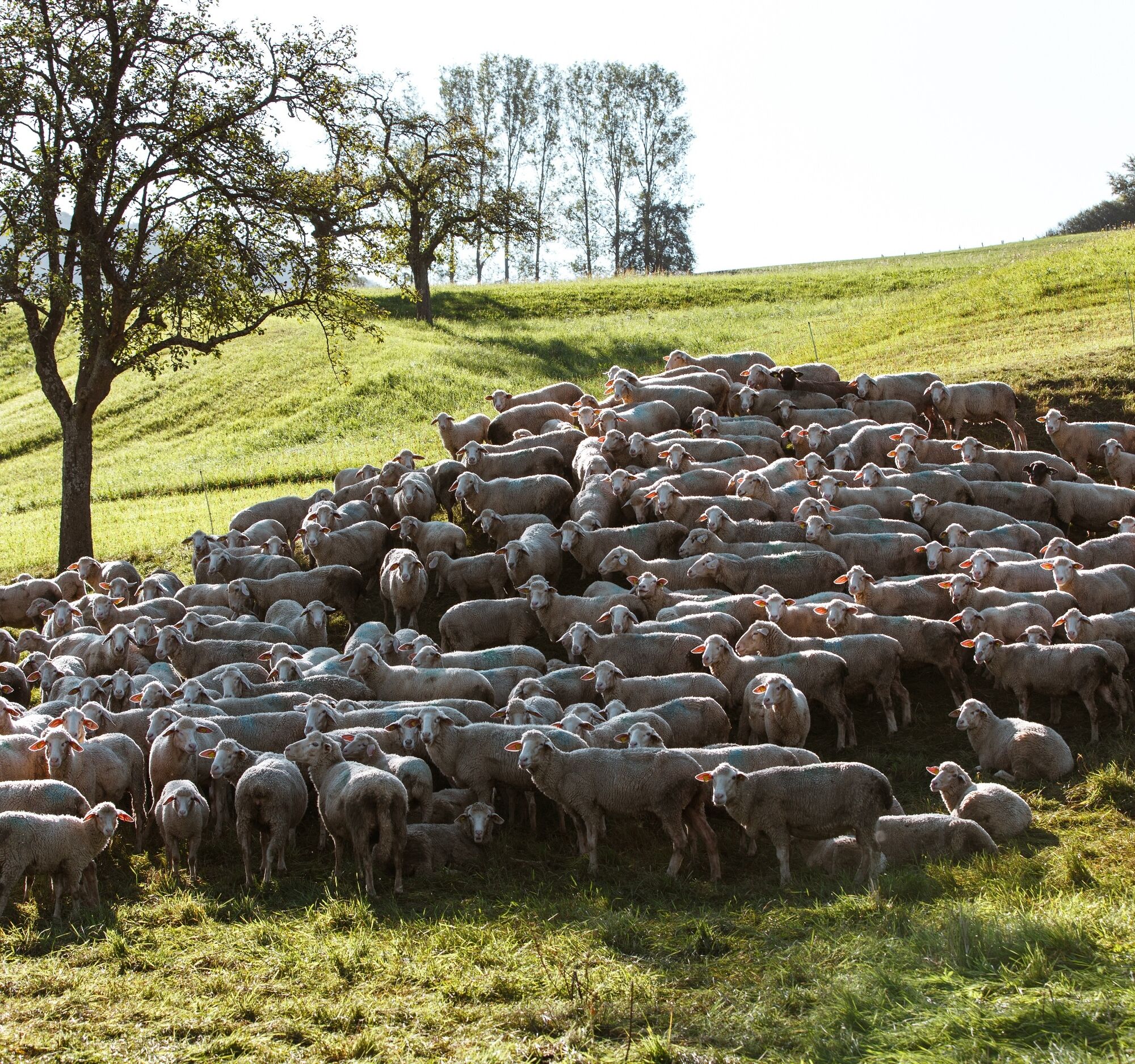
Respect trail closures and the quiet zones developed in the leisure trail concept. Leave no traces such as litter or animal droppings; treat your path gently. Act proactively and considerately. Adapt your behavior to the respective situation. Safety comes first. Respect other users of forest and countryside. Consider animals and plants. Plan ahead and use daylight. Try to avoid dawn and dusk. Observe the prohibition on entering agriculturally used areas during the growing season. Stay on designated paths and avoid forest edges to help wild animals get used to humans.More information at ruecksicht-macht-wege-breiter.de
Collegiate Church St. Cyriakus:
As the center of the small town, the two massive towers of the collegiate church emphasize the cityscape. Inside, visitors encounter an overwhelming abundance and beauty.
Market Square and Half-Timbered Buildings:
On the market square there is the market fountain with its stone elephant, which carries the town coat of arms on its Corinthian capital. The cityscape is characterized by beautiful half-timbered houses that blend picturesquely into the town's appearance.
Webové kamery z prohlídky

Oblíbené prohlídky v okolí
-
4.5
Löwenpfad "Orchideenpfad" - Herbs, Pasqueflower and Juniper Heathlands
středníTuristika 9.33 km -
4.8
Löwenpfad "Filsursprung-Runde" - pure nature around the Reußenstein
středníTuristika 14.1 km -
5.0
Lion trail "Berta-Hörnle-Tour" - castle stories in a dreamlike setting
heavyTuristika 14.7 km -
5.0
Boßler circuit
středníTuristika 8.59 km -
3.7
Löwenpfad "Wasserberg-Runde" - pure panorama and typical Swabian Jura landscapes
heavyTuristika 12.0 km -
5.0
Lenningen: Weiße Lauter, Wasserfels, Guttenberger-,Gußmannshöhle, Schopflocher Moor, Hohgreutfels, Ruine Wielandstein
středníTuristika 15.7 km -
3.8
Lion trail "Ave-Weg" - A touch of pilgrimage on the Albtrauf
středníTuristika 8.65 km -
1.0
Nordalbrunde
středníTuristika 4.76 km -
Löwenpfad "Höhenrunde" - Hiltenburg and the Albtrauf in its purest form
středníTuristika 10.7 km -
5.0
Breitensteinrunde
světloTuristika 10.3 km

Pěší turistika a stopování


Nenechte si ujít nabídky a inspiraci pro vaši příští dovolenou
Vaše e-mailová adresa byl přidán do poštovního seznamu.