






Panoramic circular route
Úroveň obtížnosti: T1
The small town of Wiesensteig lies picturesquely nestled in steep slopes of the Swabian Alb and is a state-recognized resort.
An extensive network of hiking trails crosses the Alb plateau and offers both...
The small town of Wiesensteig lies picturesquely nestled in steep slopes of the Swabian Alb and is a state-recognized resort.
An extensive network of hiking trails crosses the Alb plateau and offers both walkers and avid hikers beautiful hiking opportunities with attractive viewpoints (rock needle "Stone Woman").
A popular destination for young and old is the source of the Fils. The spring emerges in an idyllic valley and makes its way past beautiful meadows. For many centuries, Wiesensteig has charmed with its apparent untouchedness, primeval character, and the hospitality of its inhabitants.
Town of Wiesensteig
Hauptstraße 25 | 73349 Wiesensteig
07335 9620-0 | info@wiesensteig.de | www.wiesensteig.de

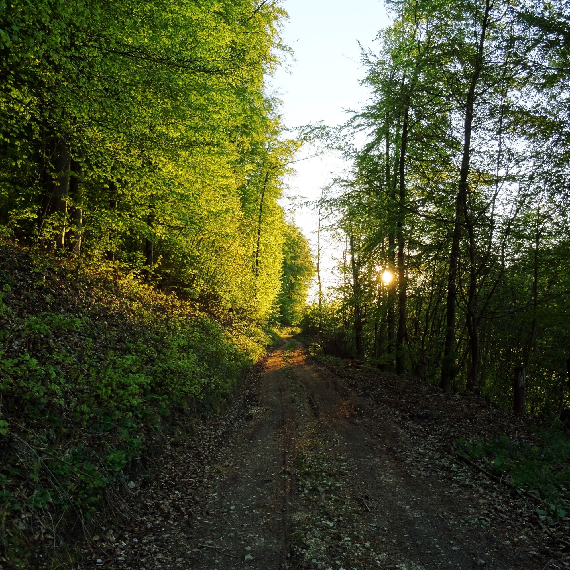
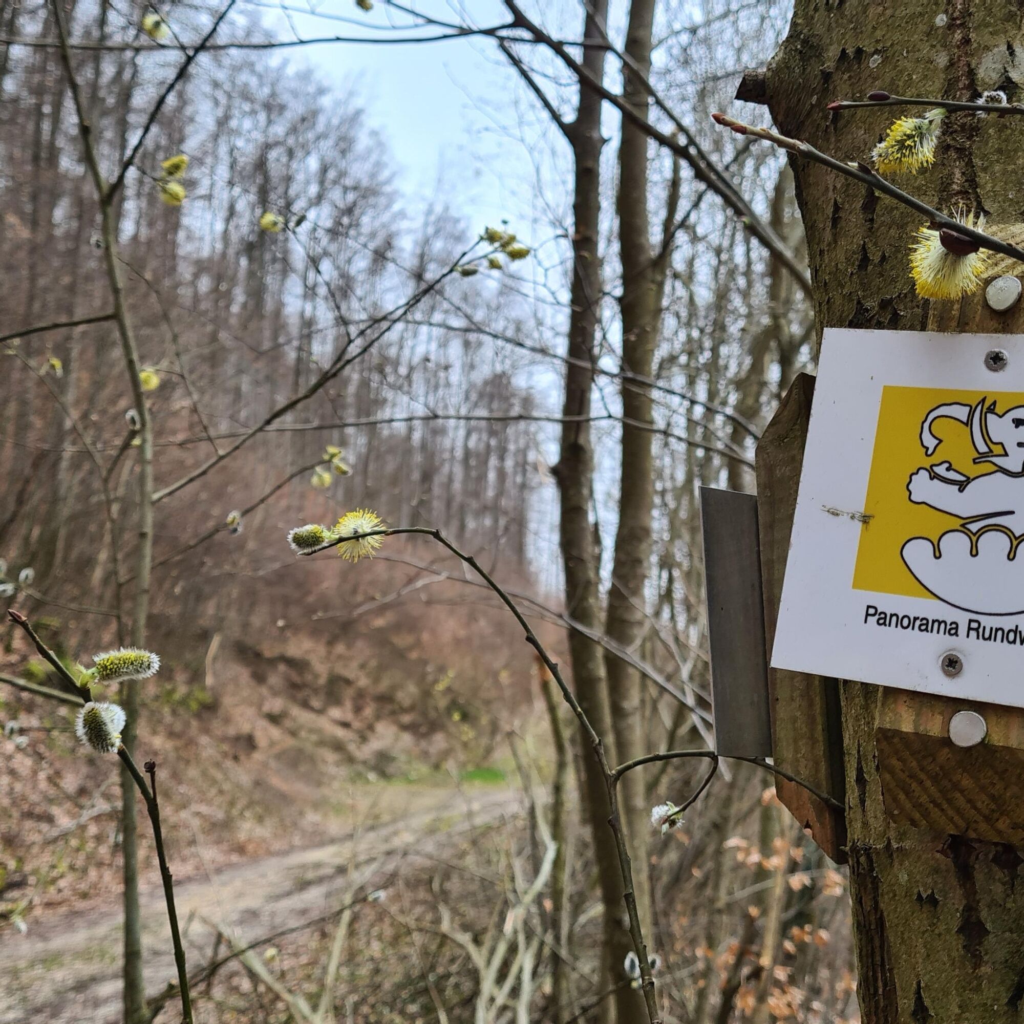
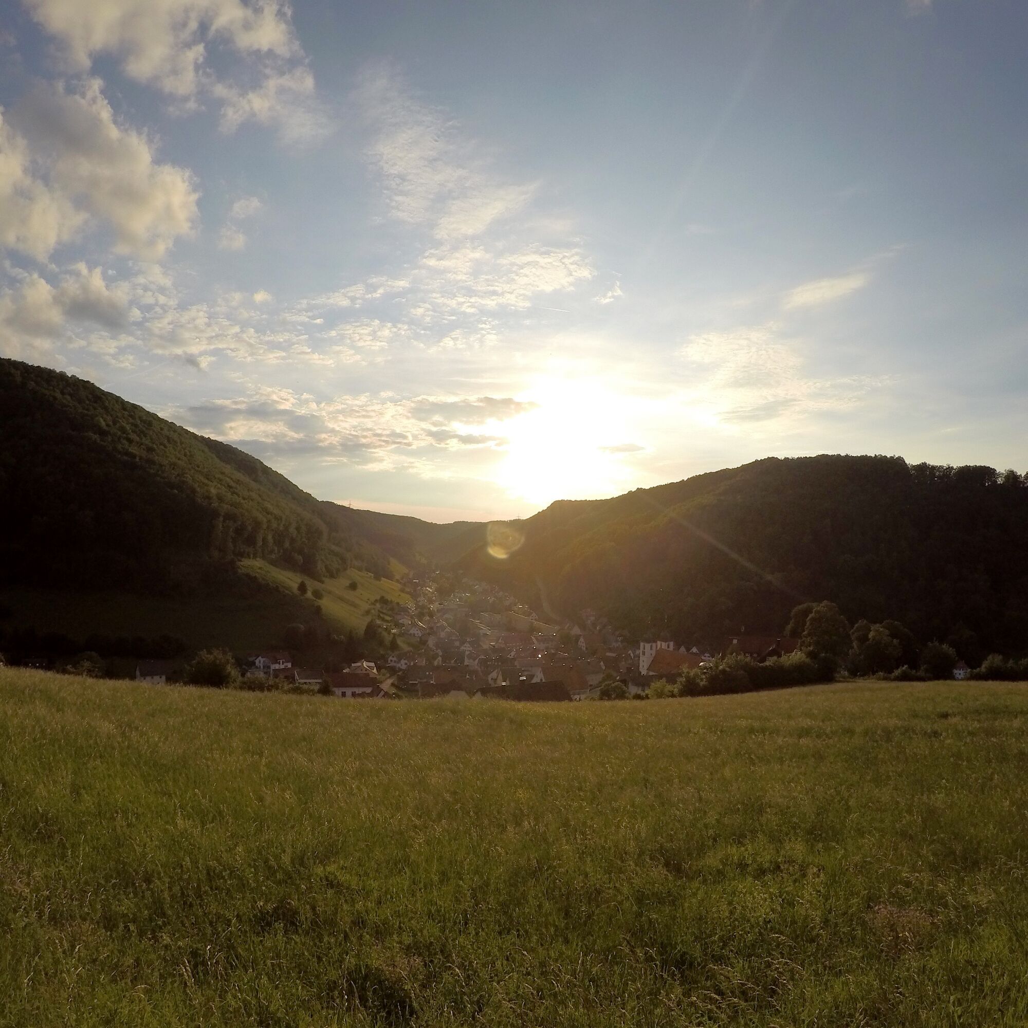

We start the hike at the castle parking lot and shortly afterwards find ourselves in the historic town center. Past the collegiate church of St. Cyriakus, the route leads towards Gießbachstraße and up to the Hans-Baumeister-Weg, which shortly reveals the first breathtaking views of Wiesensteig.
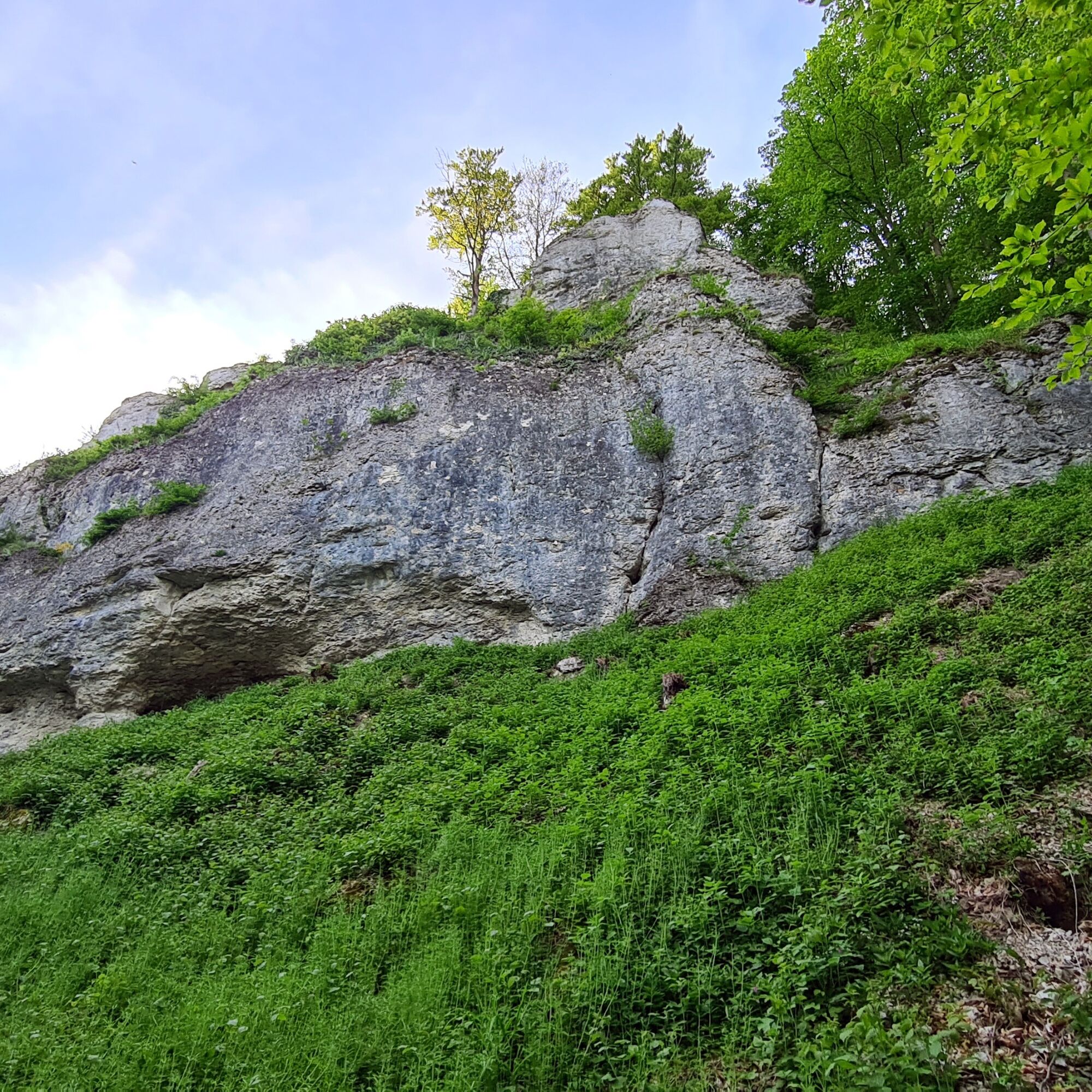
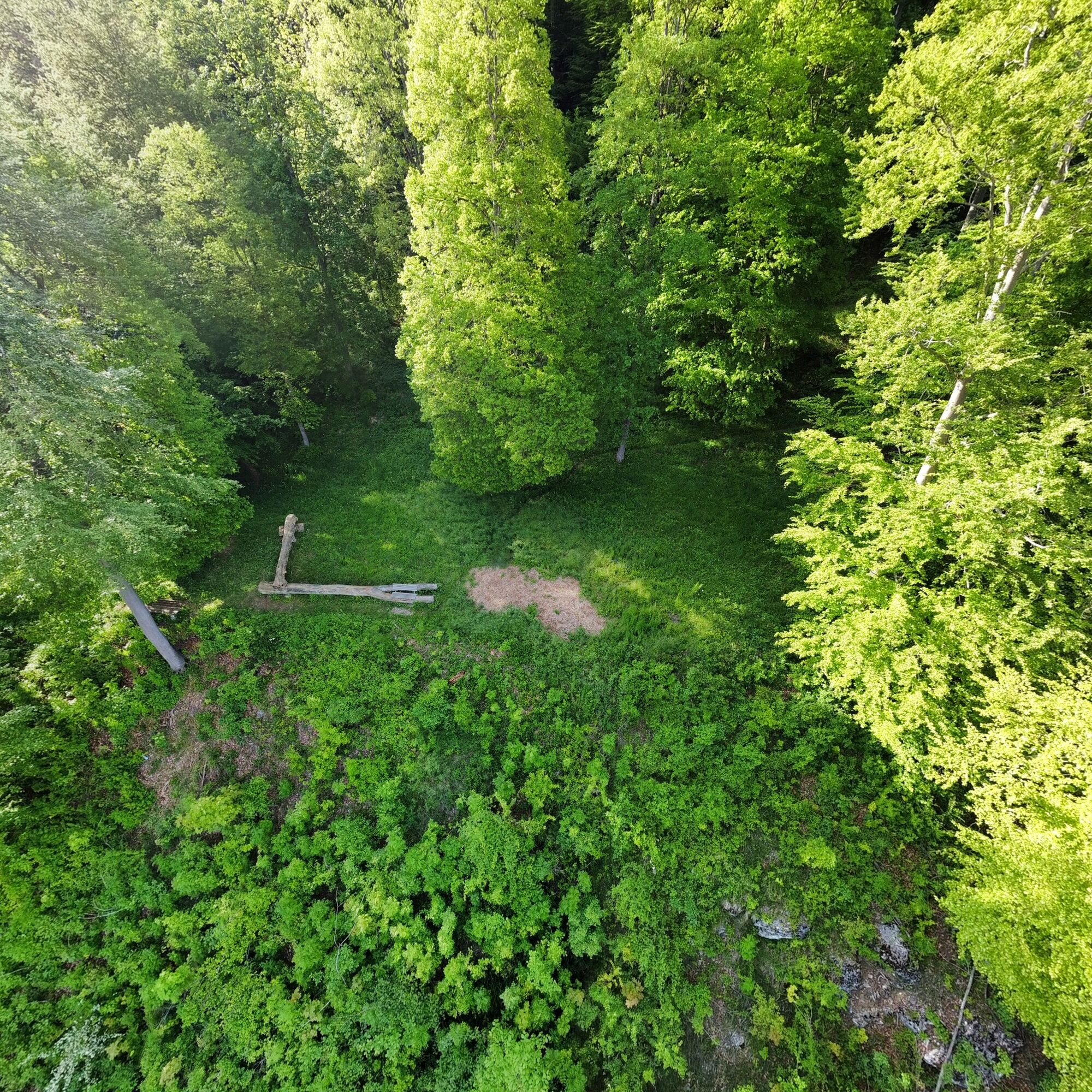
The further route leads us back to the edge of the town and past the municipal outdoor swimming pool. At the height of the last houses, the old path goes up the hill into the forest and simultaneously onto a section of the Wiesensteig Geo Trail. This runs along the Sommerberg with views of rock millions of years old. The route continues through the beech forest up to the Alb plateau. There we reach the Kreuzkapelle with a great panoramic view before returning through the forest back to the starting point.
Ano
Wear sturdy, non-slip footwear and weather-appropriate clothing. A backpack with water, snacks, and a first aid kit is recommended.
Wiesensteig lies directly on the BAB A 8 Stuttgart-Munich: exit Wiesensteig/Mühlhausen. From Mühlhausen im Täle, it is 4 km to Wiesensteig.
Take RE 5 or MEX 16 from Stuttgart or Ulm to Geislingen/Steige. From there, bus line 966 runs to the stop "Wiesensteig, Post Office".
Or take RE 5 or MEX 16 from Stuttgart or Ulm to Göppingen. From there, bus line 981 also goes to the stop "Wiesensteig, Post Office".
You can find the district timetable at: www.vvs.de/fahrplan
Parking is available at the castle parking lot.
T1
Respectful coexistence in Göppingen district.
Code of conduct:
Respect path closures and the quiet zones developed in the leisure routes concept. Leave no traces such as litter or animal droppings; treat your path with care. Act prudently and considerately. Adapt your behavior to the respective situation. Safety comes first. Respect other users of the forest and fields. Be considerate of animals and plants. Plan ahead and use daylight. Try to avoid dusk in the morning and evening. Observe the prohibition of entering agriculturally used areas during the growing season. Stay on designated paths and avoid forest edges; this helps wild animals to get used to humans better.More information at ruecksicht-macht-wege-breiter.de
A visit to the historic Wiesensteig residence castle is especially worthwhile
Wiesensteig valley swimming pool
Webové kamery z prohlídky
Získejte přehled
Vždy živě na místě s více než 9 500 webkamerami. bergfex Jako uživatel Pro si nyní můžete zobrazit odpovídající webové kamery pro mnoho prohlídek v aplikaci prohlídky z. Můžete si tak přímo prohlédnout aktuální podmínky.
Oblíbené prohlídky v okolí
-
4.5
Löwenpfad "Orchideenpfad" - Herbs, Pasqueflower and Juniper Heathlands
středníTuristika 9.33 km -
4.8
Löwenpfad "Filsursprung-Runde" - pure nature around the Reußenstein
středníTuristika 14.1 km -
5.0
Lion trail "Berta-Hörnle-Tour" - castle stories in a dreamlike setting
heavyTuristika 14.7 km -
5.0
Boßler circuit
středníTuristika 8.59 km -
3.7
Löwenpfad "Wasserberg-Runde" - pure panorama and typical Swabian Jura landscapes
heavyTuristika 12.0 km -
5.0
Lenningen: Weiße Lauter, Wasserfels, Guttenberger-,Gußmannshöhle, Schopflocher Moor, Hohgreutfels, Ruine Wielandstein
středníTuristika 15.7 km -
3.8
Lion trail "Ave-Weg" - A touch of pilgrimage on the Albtrauf
středníTuristika 8.65 km -
1.0
Nordalbrunde
středníTuristika 4.76 km -
Löwenpfad "Höhenrunde" - Hiltenburg and the Albtrauf in its purest form
středníTuristika 10.7 km -
5.0
Breitensteinrunde
světloTuristika 10.3 km
Pěší turistika a stopování


Nenechte si ujít nabídky a inspiraci pro vaši příští dovolenou
Vaše e-mailová adresa byl přidán do poštovního seznamu.





