






Hürbelsbach-Scharfenhof-Hohenstein
Úroveň obtížnosti: T2
Fotografie našich uživatelů
-
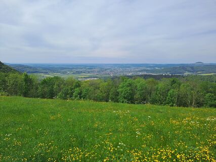
 © Wanderbursche66Vytvořeno dne 03.05.2026
 -
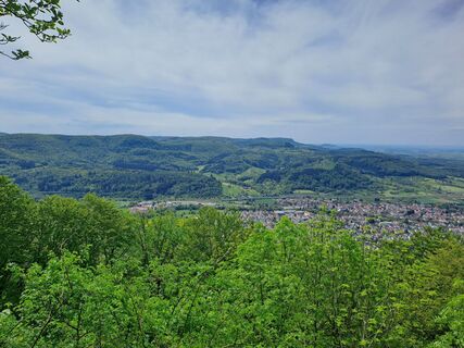 © Wanderbursche66Vytvořeno dne 03.05.2026
 -
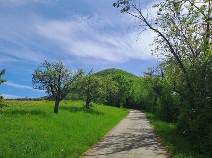 © Wanderbursche66Vytvořeno dne 03.05.2026
 -
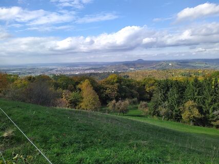
 © Laufnix-KallixusVytvořeno dne 18.10.2022
 -
 © Laufnix-KallixusVytvořeno dne 18.10.2022
 -
 © Laufnix-KallixusVytvořeno dne 18.10.2022
 -
 © Laufnix-KallixusVytvořeno dne 18.10.2022
 -
 © Laufnix-KallixusVytvořeno dne 18.10.2022

Located both at the Albtrauf Landscape Park and the Fils Landscape Park, the community offers interesting hiking trails. On the Albtraufgängerweg, you get to know the Albtrauf in its most beautiful way....
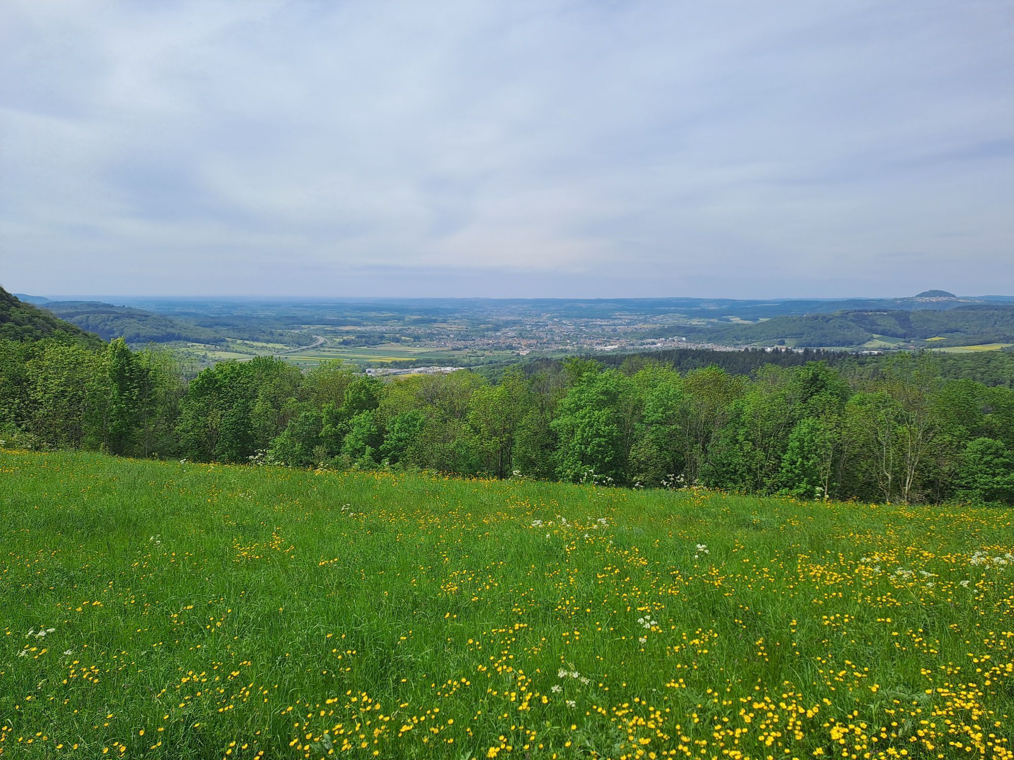
Located both at the Albtrauf Landscape Park and the Fils Landscape Park, the community offers interesting hiking trails. On the Albtraufgängerweg, you get to know the Albtrauf in its most beautiful way. It leads through characteristic orchard meadows and hillside forests and offers wide views of the Alb foreland and the Stuttgart region.
A "highlight" is the fruit educational trail. In the area "Schnait," it impresses with numerous large and old cider pear trees, which are unique in their density compared to other fruit variety trails in the district. Another delicacy is the "Gingener Luiken," which are well known far beyond the municipal boundaries.
Historically interesting is the historic circular hiking trail in Gingen, which is connected with the route of industrial culture in the Fils Valley. This can be recognized by special steles, one of which is immediately at the town hall.
Town Hall Gingen an der Fils
Bahnhofstraße 25 | 73333 Gingen an der Fils
07162 9606-0 | info@gingen.de | www.gingen.de

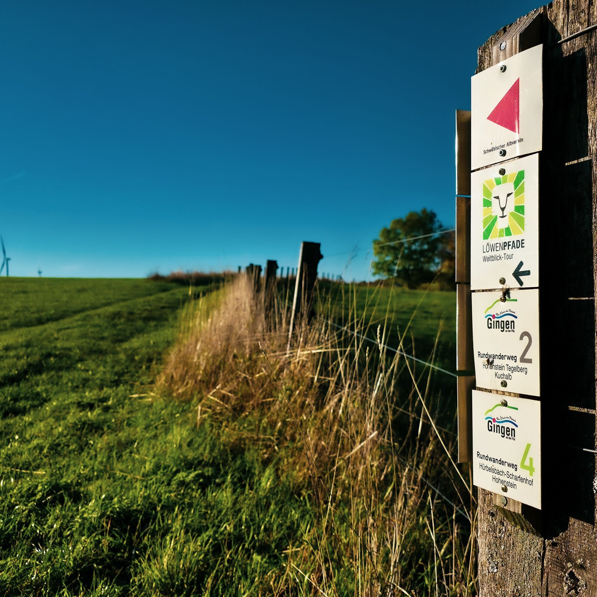
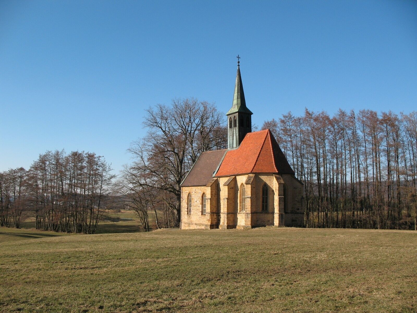
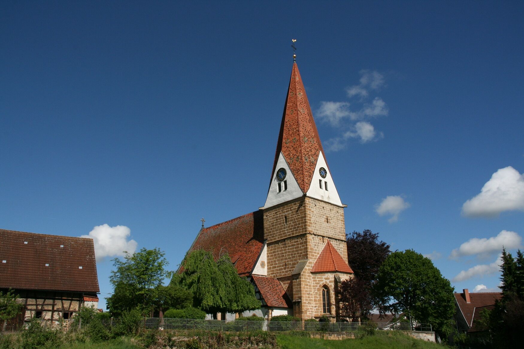
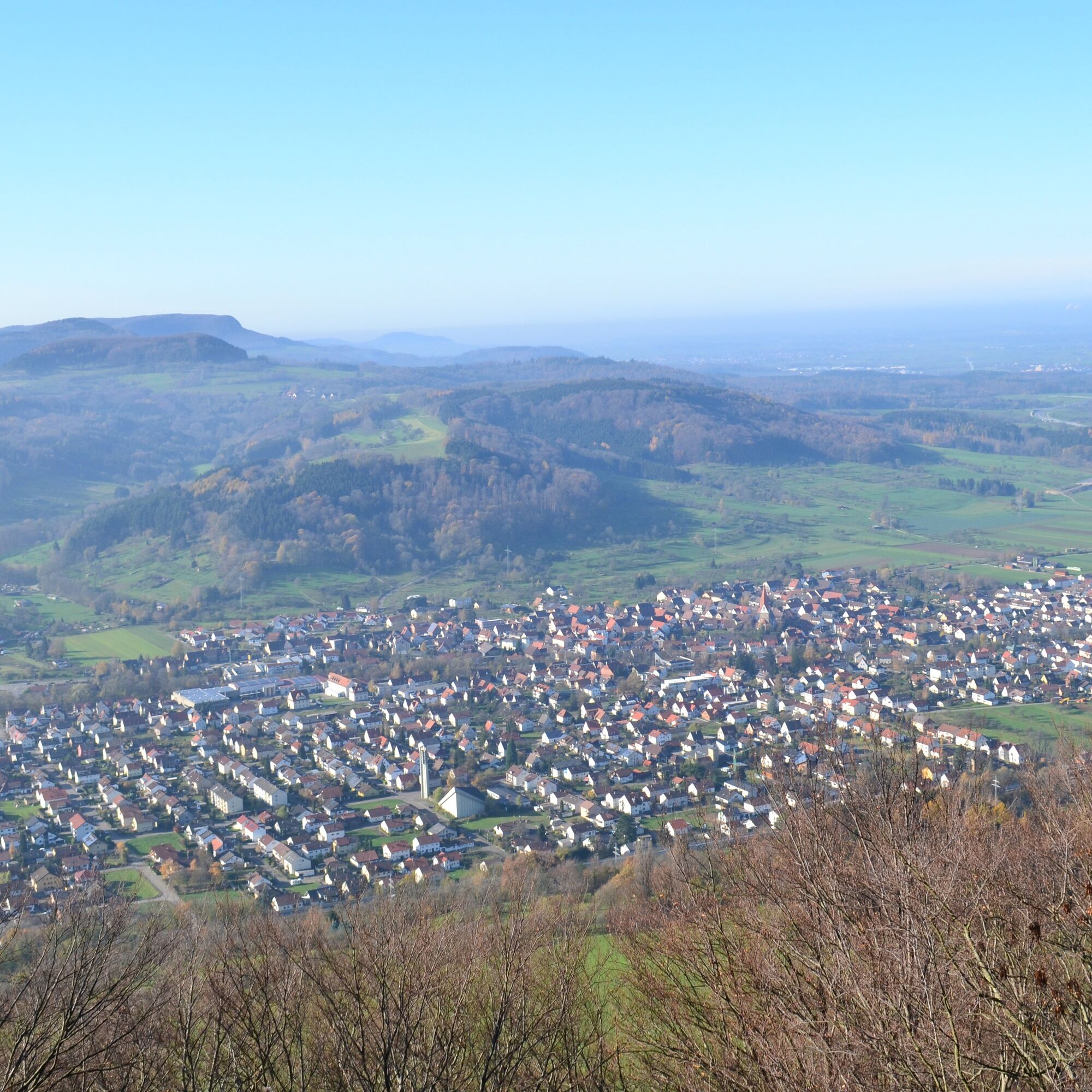
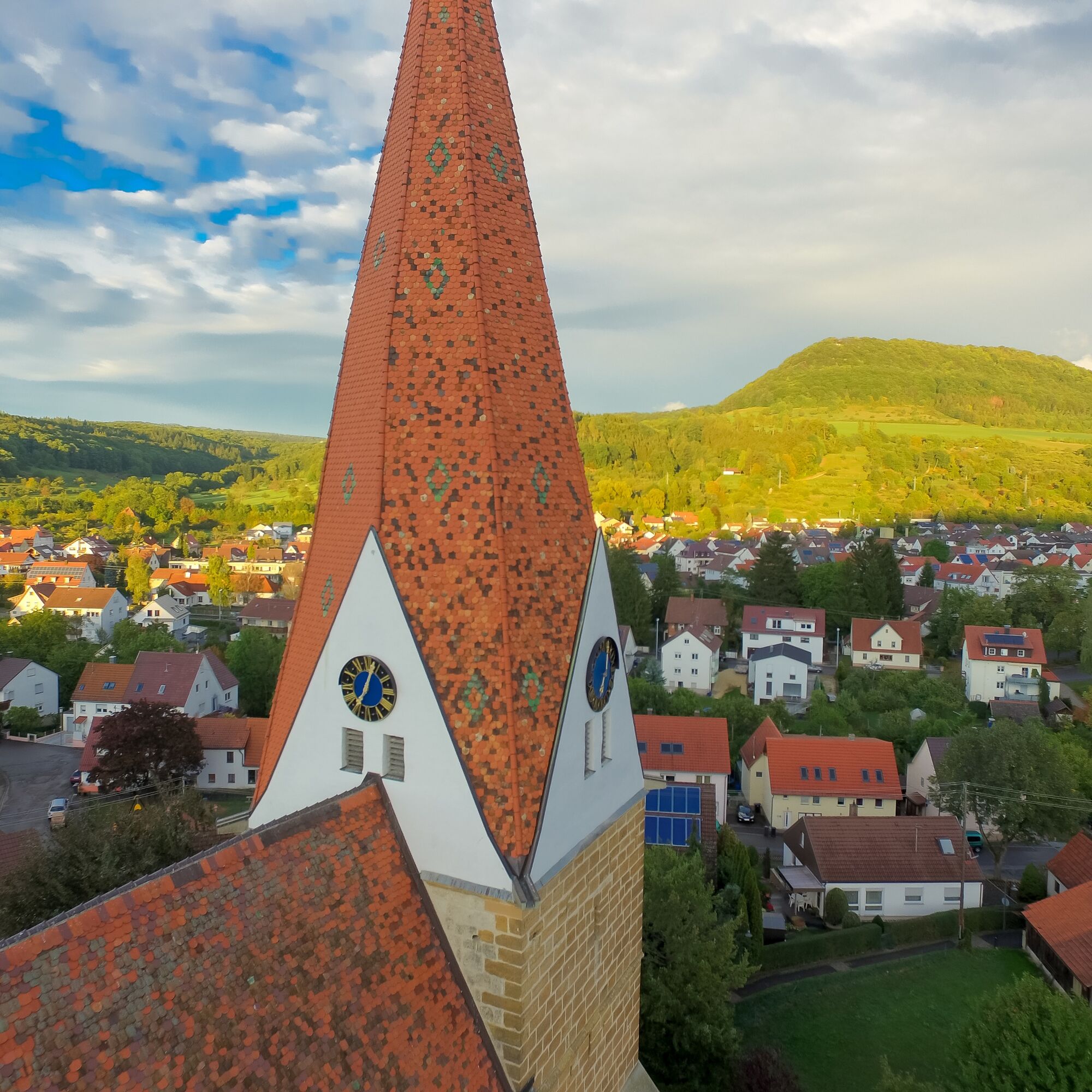

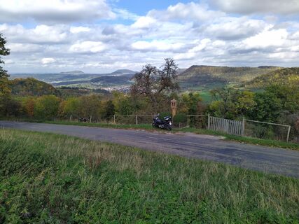
The hike begins at the town hall and initially leads us over Donzdorfer Street to the railway underpass. From there, it continues over Marren to the chapel in Hürbelsbach.
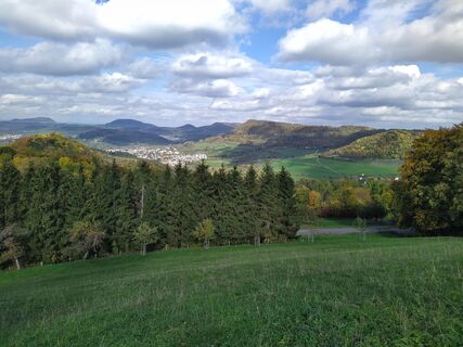
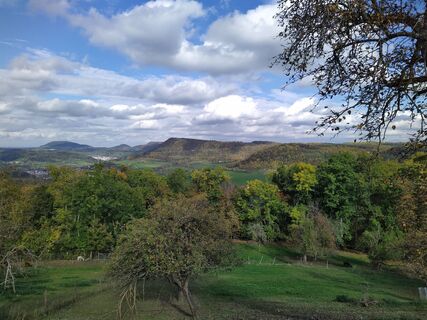
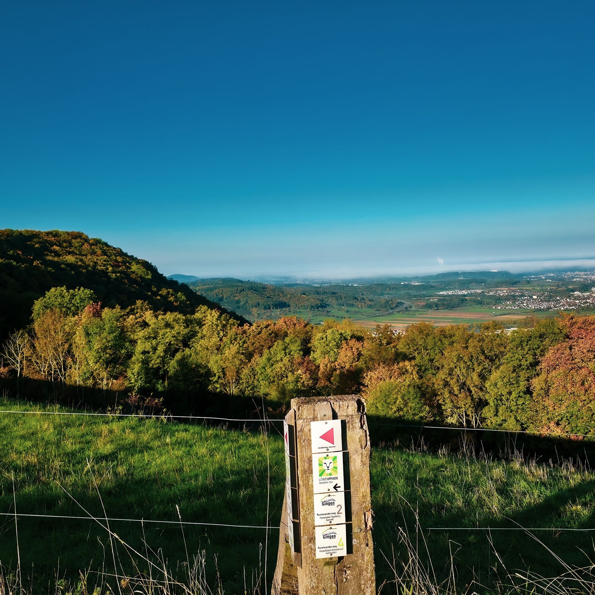
Then we hike over the picturesque Kuchalb and reach the Hohenstein viewpoint, rewarded with a fantastic view of the surroundings.
From there, it goes over the Jungvieweide back to Gingen an der Fils, where our route ends.
Wear sturdy, non-slip footwear and weather-appropriate clothing. A backpack with water, snacks, and a first aid kit is recommended.
Some paths can be slippery and dangerous when wet. Watch your step and use walking sticks for stability if necessary.
Take MEX 16 from Stuttgart or Ulm to Gingen station. Alternatively, take line 951 to the stop "Gingen Rathaus."
You can find the circular timetable at: www.vvs.de/fahrplan
T2
Respectful coexistence in the Göppingen district.
Code of Conduct:
Respect path closures and the quiet zones developed in the leisure path concept. Do not leave any traces such as litter or animal droppings; treat your path with care. Act proactively and considerately. Adapt your behavior to the respective situation. Safety first. Respect other users of the forest and fields. Show consideration for animals and plants. Plan ahead and use daylight. Try to avoid dawn and dusk in the morning and evening. Observe the prohibition of entry to agriculturally used areas during the growing season. Stay on designated paths and avoid forest edges, so that wild animals can better get used to humans.More information at ruecksicht-macht-wege-breiter.de
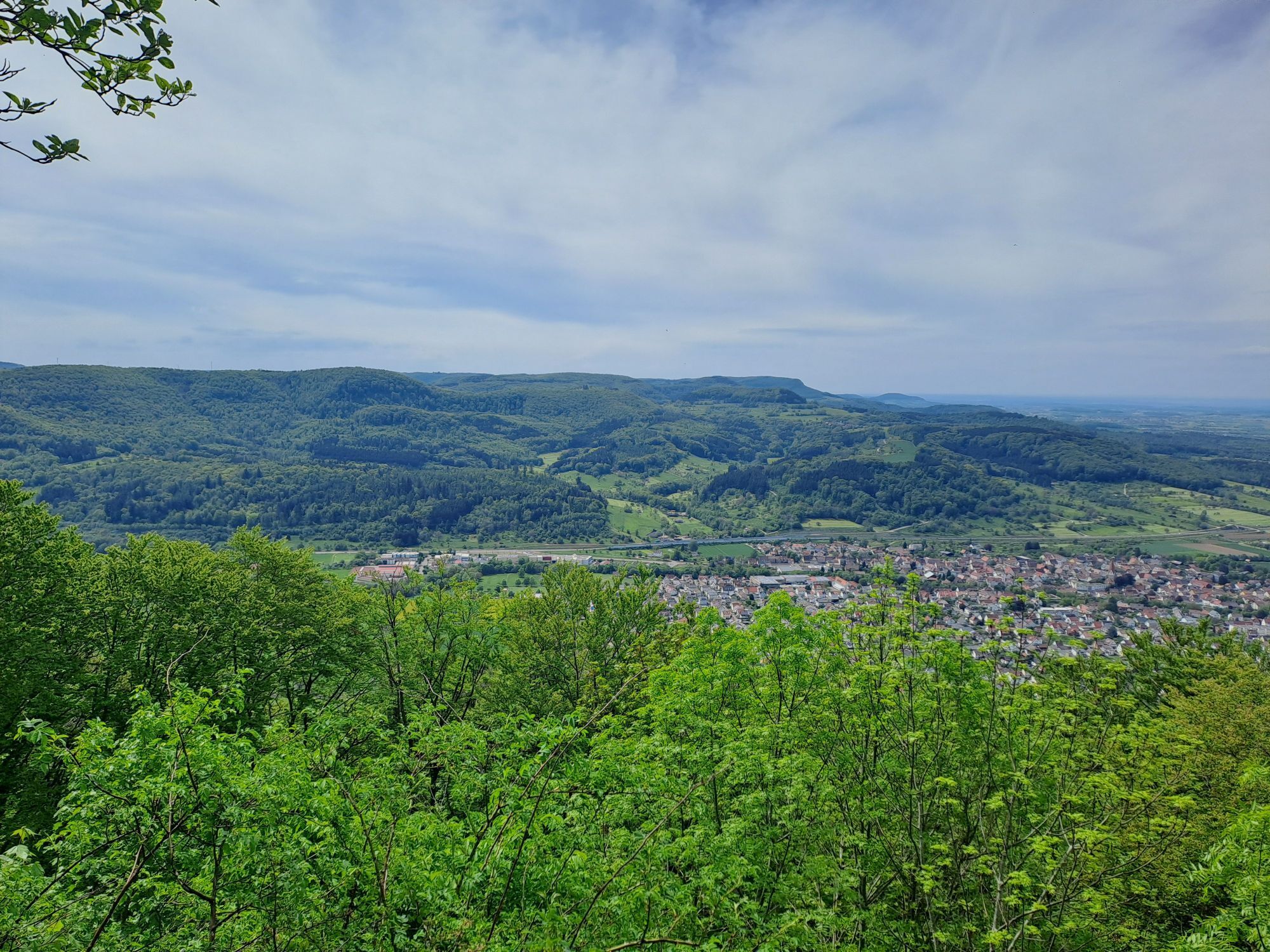
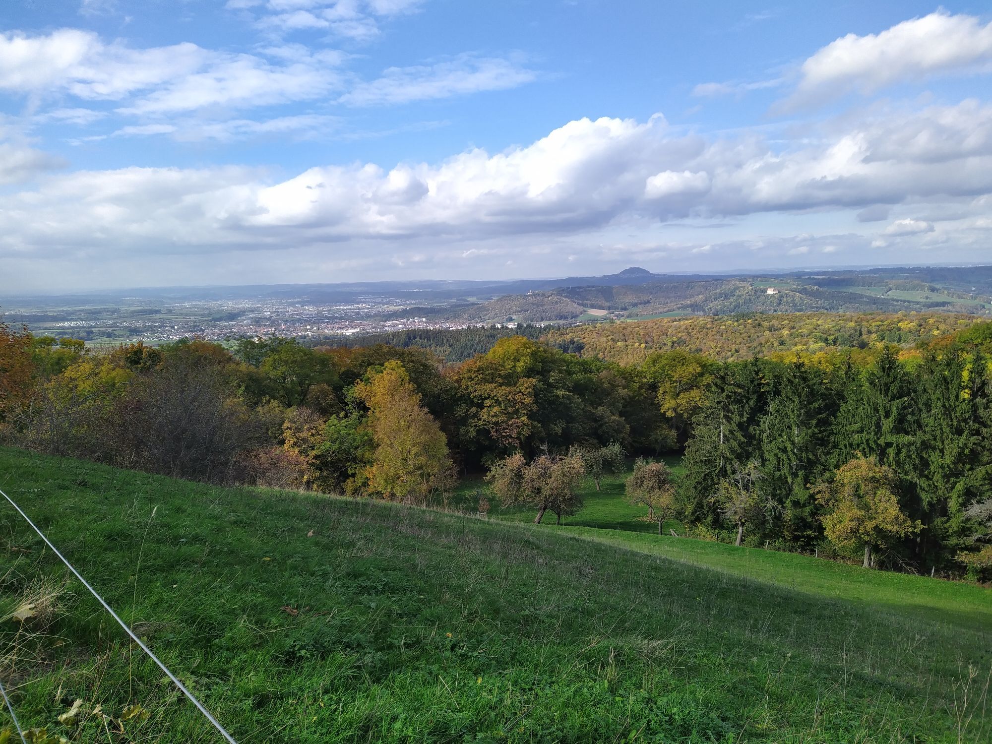
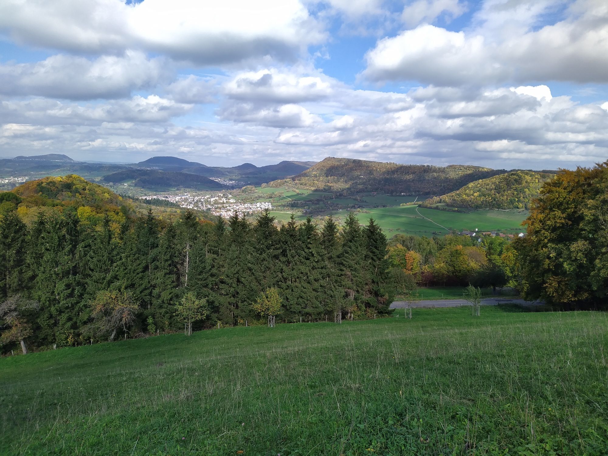
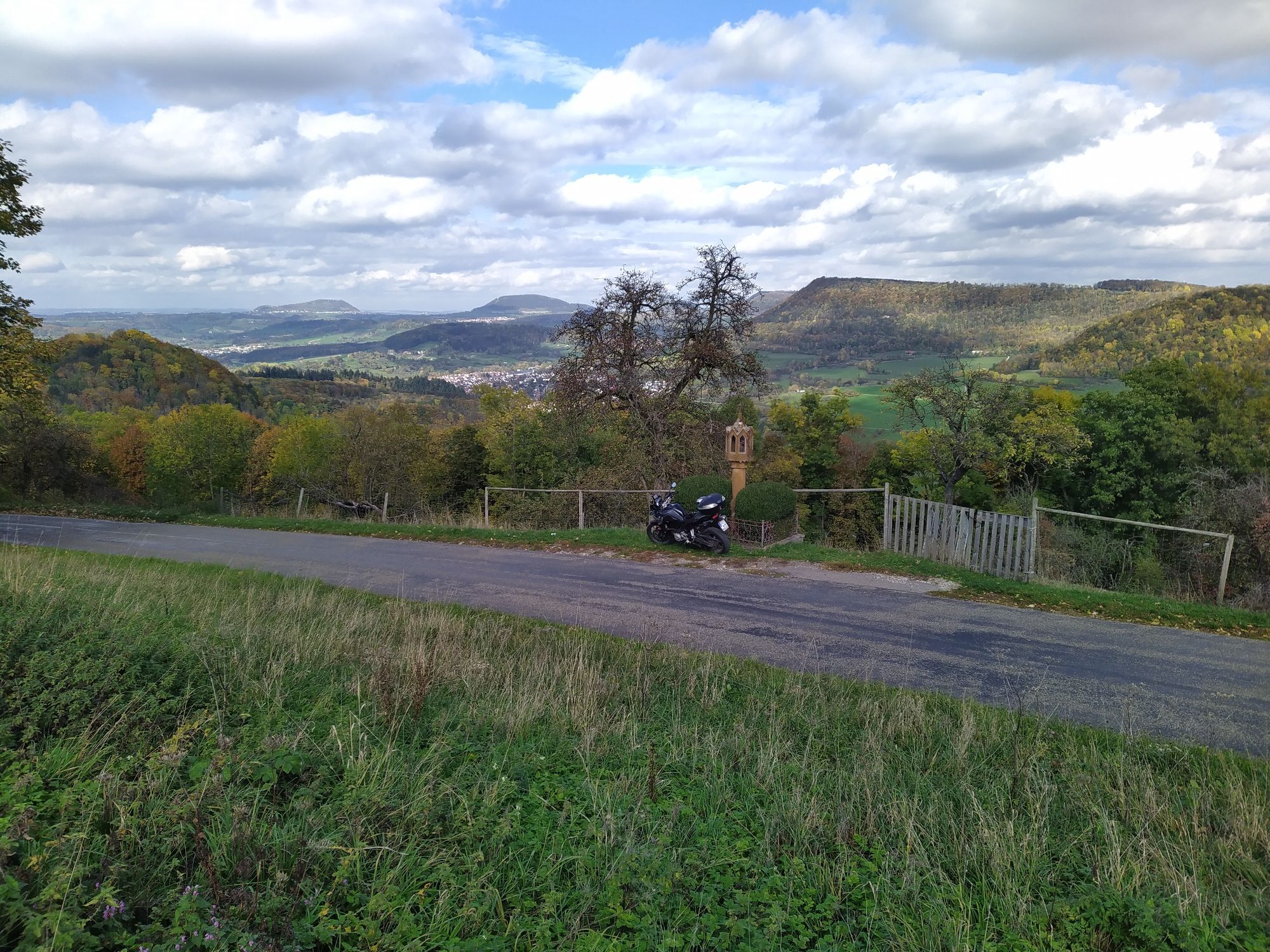
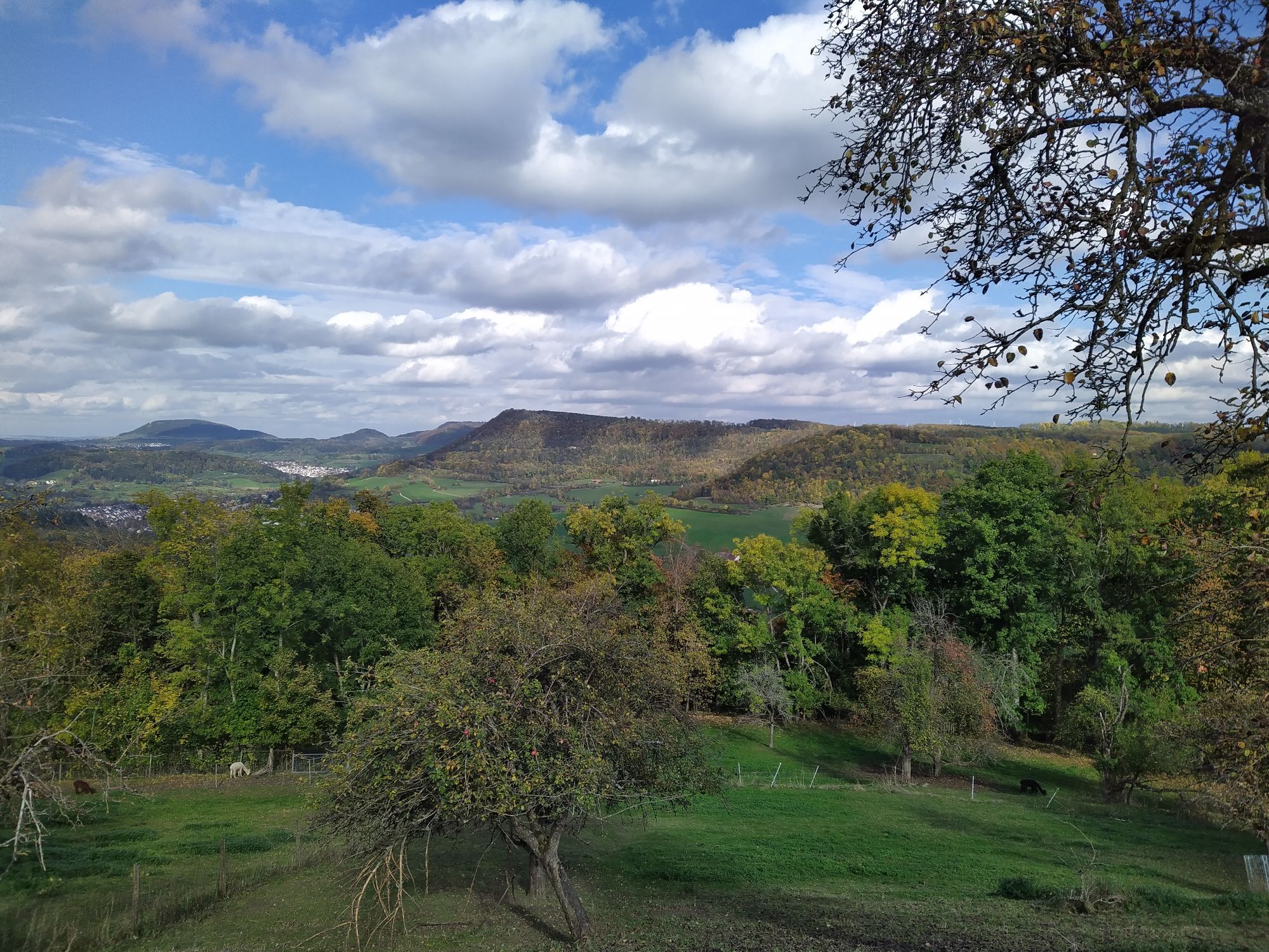
From the viewpoint of the local mountain "Hohenstein," you have a wonderful view of the Fils Valley, and in favorable weather, even as far as the Stuttgart area.
Oblíbené prohlídky v okolí
-
4.5
Löwenpfad "Orchideenpfad" - Herbs, Pasqueflower and Juniper Heathlands
středníTuristika 9.33 km -
4.9
Löwenpfad "Staufer-Runde" - Barbarossa's traces before a dreamlike backdrop
středníTuristika 11.3 km -
5.0
Lion trail "Berta-Hörnle-Tour" - castle stories in a dreamlike setting
heavyTuristika 14.7 km -
5.0
Löwenpfad "Heldentour" - The king stage of the Löwenpfade
heavyTuristika 23.6 km -
4.4
Löwenpfad "Geislinger Felsen-Tour" - up and down through the Eybach valley
středníTuristika 10.8 km -
4.5
Löwenpfad "Weitblick-Tour" - High up and far-reaching view
heavyTuristika 12.0 km -
4.7
Löwenpfad "Filstalgucker" - views from the heart of the Filstal valley
středníTuristika 13.0 km -
3.7
Löwenpfad "Wasserberg-Runde" - pure panorama and typical Swabian Jura landscapes
heavyTuristika 12.0 km -
3.5
Lion trail "Messelberg tour" - hiking with impressive views
středníTuristika 7.72 km -
4.3
Lion Trail "Steigen Tour" - Along the Swabian construction of the century
heavyTuristika 16.1 km
Pěší turistika a stopování


Nenechte si ujít nabídky a inspiraci pro vaši příští dovolenou
Vaše e-mailová adresa byl přidán do poštovního seznamu.





