


Schiltach: Kuhbach - Eselgrund - Schenkenburg - Circular route
Fotografie našich uživatelů

 © Ralf UmmingerVytvořeno dne 02.07.2022
 © Ralf UmmingerVytvořeno dne 02.07.2022
 © Ralf UmmingerVytvořeno dne 02.07.2022
 © Ralf UmmingerVytvořeno dne 02.07.2022
 © Ralf UmmingerVytvořeno dne 27.02.2021
 © Ralf UmmingerVytvořeno dne 27.02.2021
 © Ralf UmmingerVytvořeno dne 27.02.2021
 © Ralf UmmingerVytvořeno dne 27.02.2021


The hike begins at the Trautwein tannery and first leads along the Kinzig to “Vor Kuhbach”. Then cross to the left of the railway line and hike parallel to the Kuhbach uphill on the middle path. After...
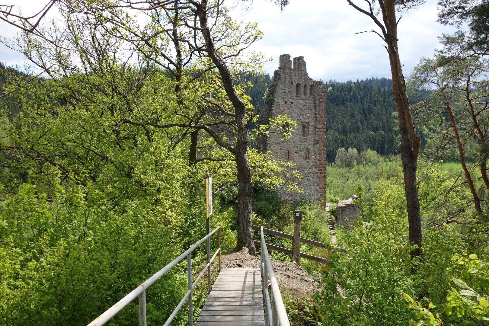
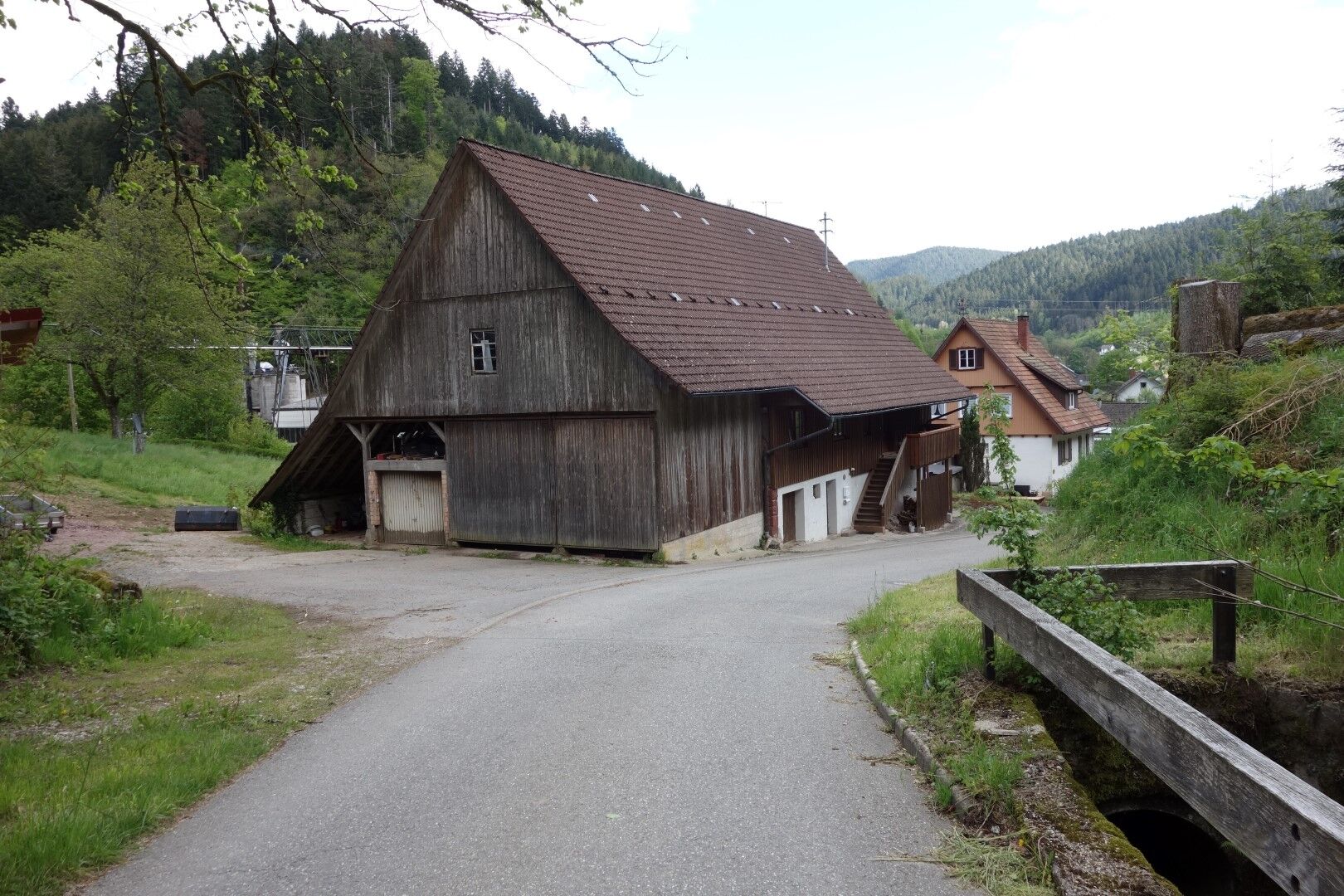
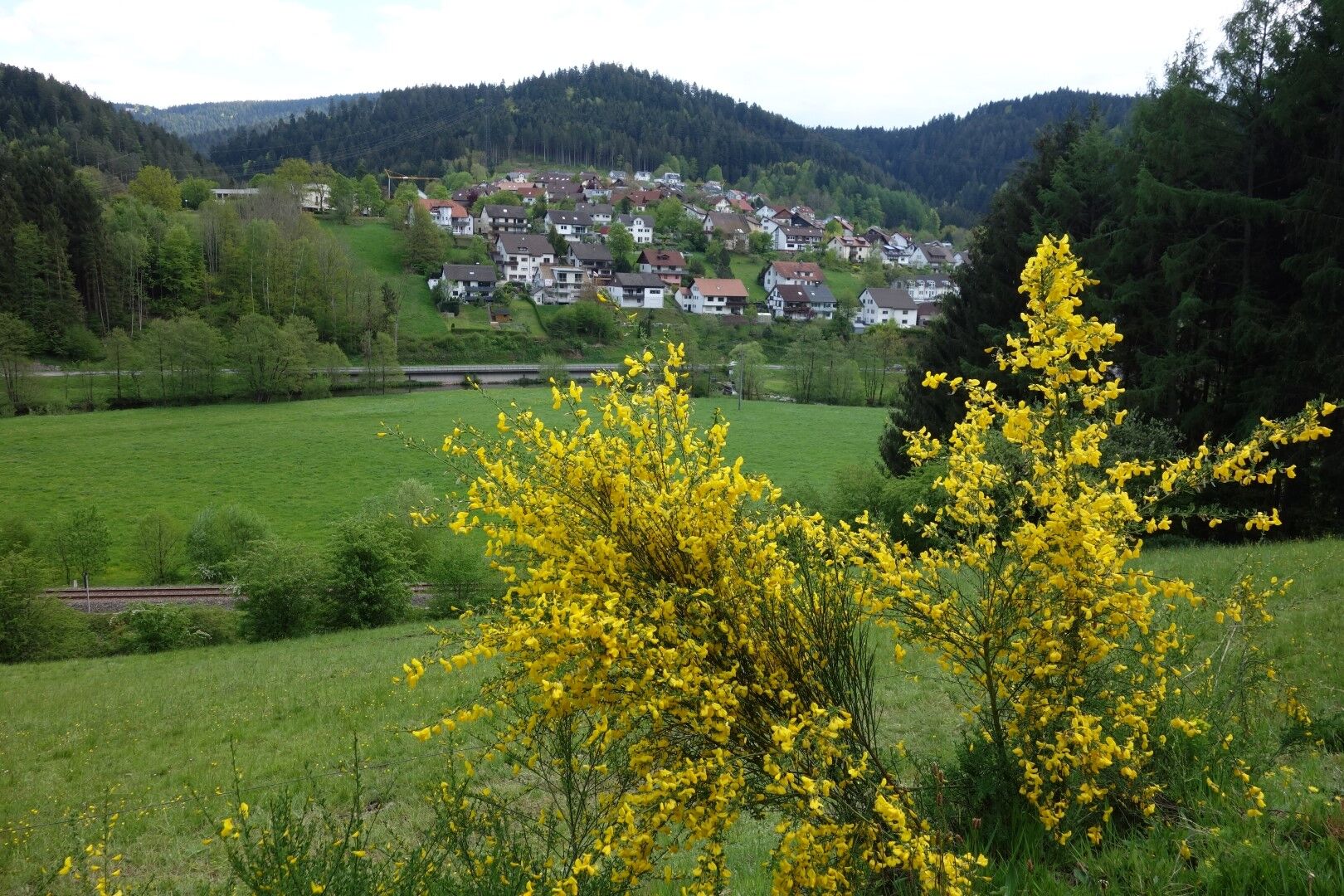
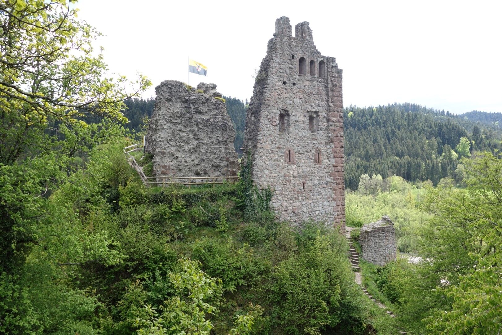
The hike begins at the Trautwein tannery and first leads along the Kinzig to “Vor Kuhbach”. Then cross to the left of the railway line and hike parallel to the Kuhbach uphill on the middle path. After about 1.5 km, leave the wide farm track to the left onto a forest path, continuing to follow the middle path. After 1.5 km steadily uphill, pass Johannesharderhof on the left to a crosswise tarred road, then follow it to the right about 250 m past Bascheshof. After a few meters, leave the tarred road to the left and follow a wide forest path downhill, now following the yellow lozenge. At Nachtloch, you return to a tarred road, on which you reach Eselbach. On the crosswise Witticherstraße, turn right towards Alpirsbach and after another 50 m turn right again over the Narrenbrückle, continuing to follow the yellow lozenge. An approx. 1 km narrow path along the Kleine Kinzig leads into the town center of Schenkenzell. There, turn right at the Drei-König bridge towards Schiltach, now following the blue lozenge for about 1 km. At the railway bridge, leaving the road to the right, you reach a fork. Following the Schenkenburg signpost, you reach the ruin (yellow lozenge) and then return to the fork. On the remaining approx. 2 km of the “Lower Halde” you reach Schiltach, again following the blue lozenge.

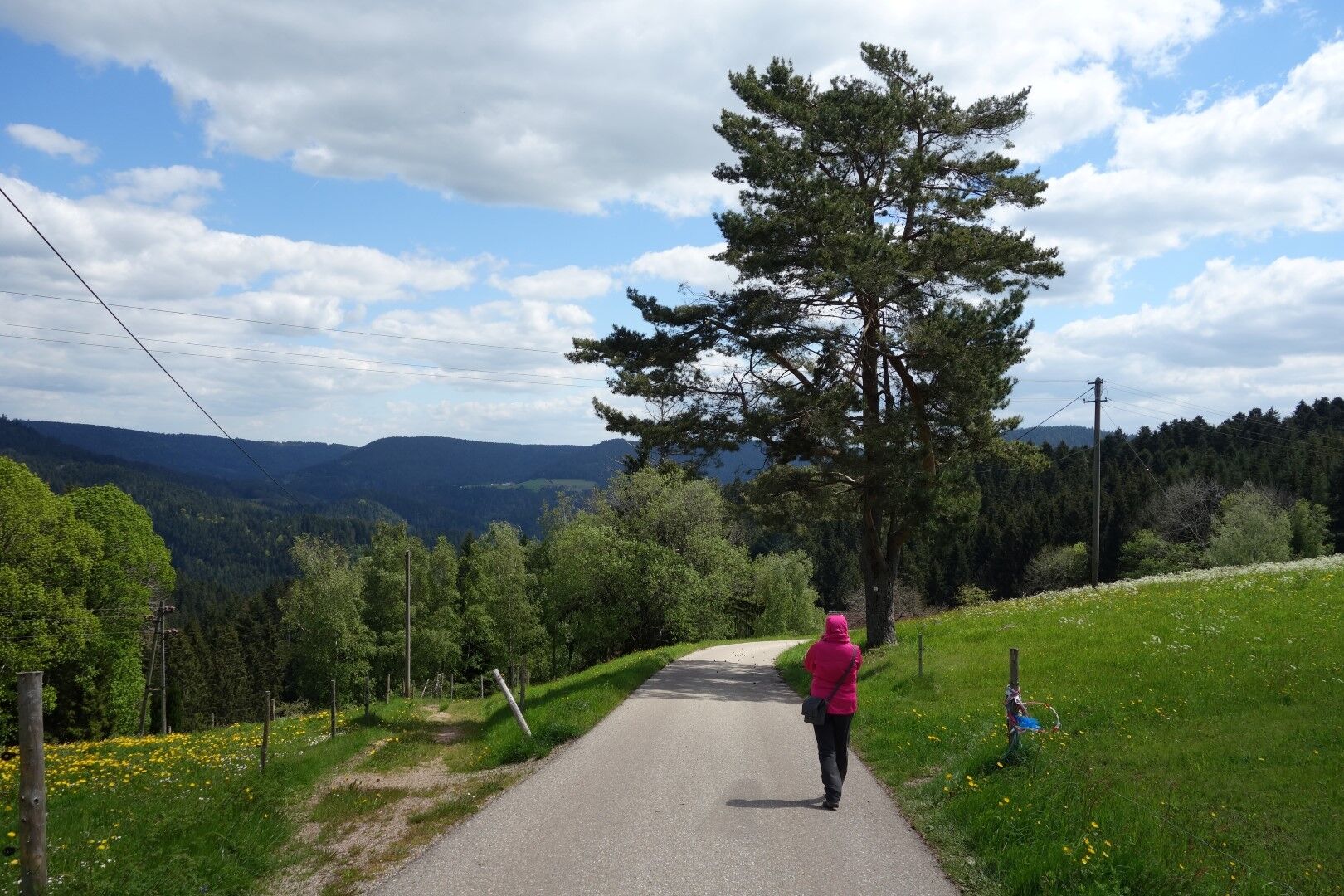
Ascent to Johannesharderhof. Wide hiking trails, partially paved
Hiking boots recommended
From the direction of Rottweil (A81) along B462 to Schiltach
From the direction of Freudenstadt along B294 to Schiltach
From the direction of Offenburg (A5) along B33/B294 to Schiltach
Follow the signs "Historical Old Town" to the town center
With the Ortenau-S-Bahn OSB hourly service to Schiltach Mitte stop (directly at the start of the hike)
For long-term parking:
P1 (Lehwiese): free, no time limit
P2 (Bahnhofstraße): free, no time limit
Parking deck Schüttesäge: free, no time limit
For short-term parking:
Throughout the entire town center: free, 2 hours with parking disc
Ascent to the Schenkenburg ruin (yellow lozenge) – narrow stone and root path; the wider lower path is easier
Oblíbené prohlídky v okolí
- 4.4
Bad Rippoldsau - Cafe & Restaurant Zum Schlüssel - Klösterle - Burgbachwasserfall
středníTuristika 11.2 km - 4.8
AugenBlick-Runde Lauterbach Güntersberg
světloTuristika 10.2 km - 3.0
Lauterbach High Valley Circuit in the hiking paradise Alb - Black Forest
světloTuristika 10.7 km - 5.0
Wolfach settlers' loop large round
středníTuristika 9.04 km - 5.0
Schiltach: Schenkenburg - Kaibach - Circular route
středníTuristika 12.3 km - 5.0
AugenBlick Route Schramberg-Tennenbronn
středníTuristika 7.84 km - 5.0
Premiumweg Wolfacher Schlossblick
středníTuristika 7.12 km Hornberg Panorama Trail
středníTuristika 14.6 km- 4.0
Flößerpfad Kinzigtal
středníTematická stezka 33.6 km High above the Bernecktal
heavyTuristika 12.3 km
Pěší turistika a stopování


Nenechte si ujít nabídky a inspiraci pro vaši příští dovolenou
Vaše e-mailová adresa byl přidán do poštovního seznamu.