







Around Welschensteinach

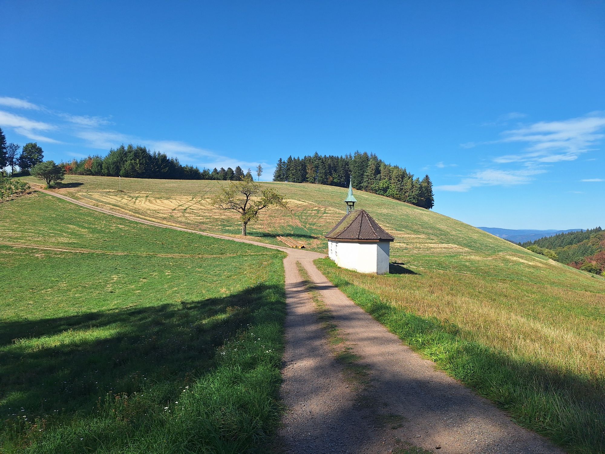
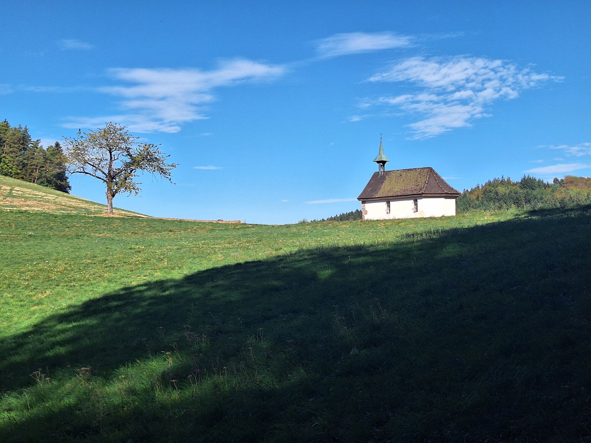
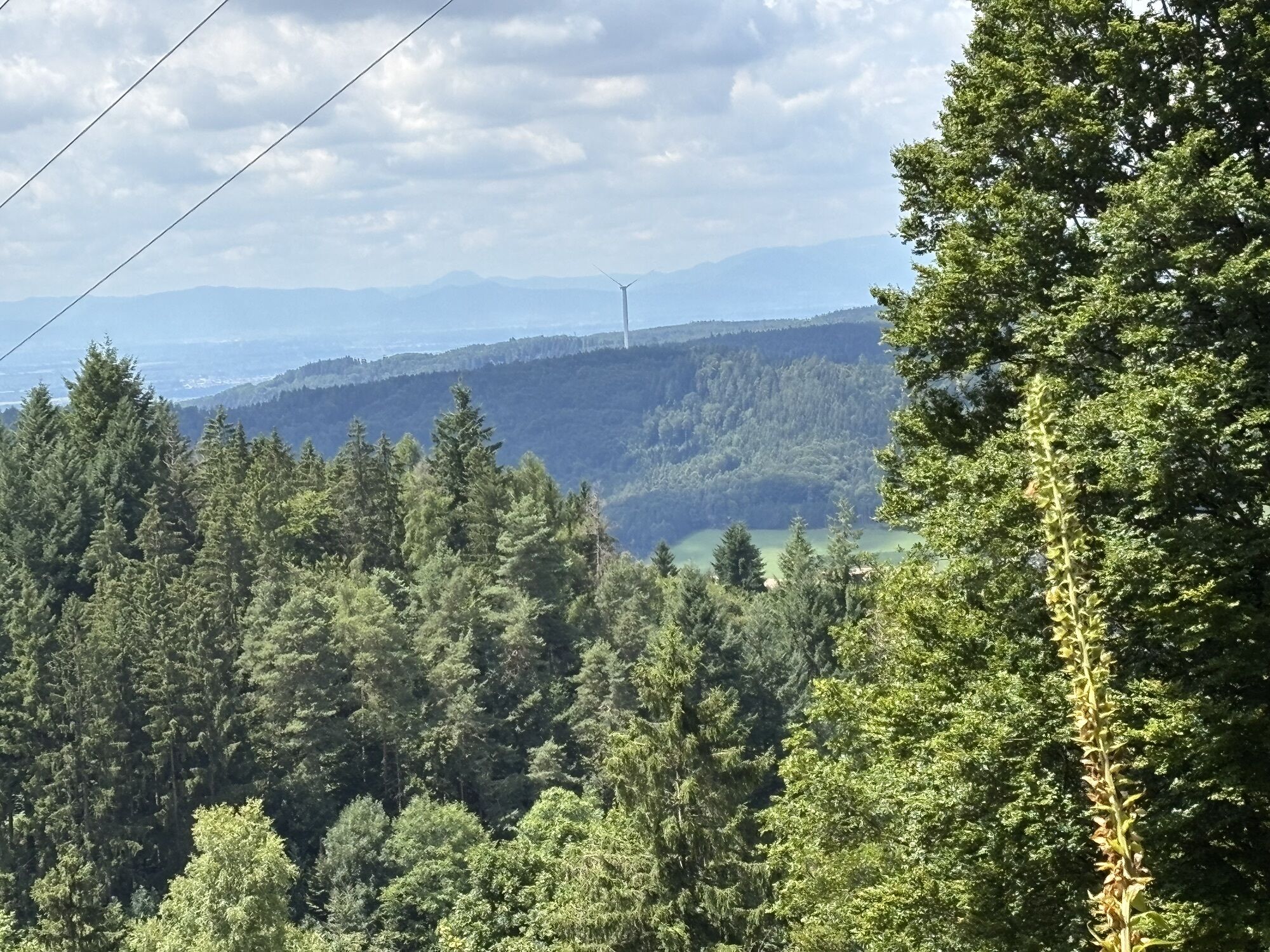
The "Bußkapelle" (easily reachable with a short detour) opens the round of numerous beautiful views into the Welschensteinach valley. On the ridge path from the "Kambacher Hütte" to the "Höhenhäuser,"...
The "Bußkapelle" (easily reachable with a short detour) opens the round of numerous beautiful views into the Welschensteinach valley. On the ridge path from the "Kambacher Hütte" to the "Höhenhäuser," the long-distance trails "Kandel-Höhenweg" and the "Querweg Lahr-Rottweil" merge. The "Grischthütte" invites you to enjoy an impressive panoramic view at the end of the route and to linger.




Town hall - Museum storage - Allmend - Kambacher Hütte - Nocken-Kreuzplatz - Heidenbauerneck - Kreuzplatz - Robertskapelle - Fixenplatz - Hallen - Lahrer Hütte - Höhenhäuser - Hesseneck - Am Hessenberg - Buchwald - Above the Tschäghof - Wirtswald - Lachen - Hunting lodge Dold - Grischthütte - Gumme - Halderhof - Town hall
continue on L103 towards Welschensteinach
Get off at Dörfle/Tannenwaldweg (request stop)
Town hall parking lot Welschensteinach
Places to eat:
Gasthaus Kreuz, Höhenhäuser, Biederbach
Bike and hiking hostel Schlossberg, W.-Steinach
Gasthaus "Zum Wilden Mann", W.-Steinach

Oblíbené prohlídky v okolí
- 4.8
Ortenau legend circular routes: Devil's Pulpit
středníTuristika 10.2 km - 4.7
Genießerpfad - U(h)rwaldpfad Rohrhardsberg
středníTematická stezka 8.72 km - 4.3
Paradiessteig Hofstetten
středníTuristika 12.8 km - 4.5
Panoramaweg Katzenmoos
středníTuristika 11.0 km - 4.7
Waldsee circular route to the Urenkopf tower
středníTuristika 7.30 km - 5.0
Connoisseur path - Hausacher Bergsteig
středníTuristika 13.5 km - 4.5
Sontagstour
světloTuristika 11.8 km Westweg - Westvariante
heavydálková pěší trasa 288.8 km- 5.0
Gemütliche Runde ab Wanderparkplatz Pfingsteck, Freiamt
světloTuristika 4.62 km - 5.0
Felsen-Tour, Elzach-Oberprechtal
středníTematická stezka 12.2 km
Pěší turistika a stopování


Nenechte si ujít nabídky a inspiraci pro vaši příští dovolenou
Vaše e-mailová adresa byl přidán do poštovního seznamu.





