







Albtrauf route
Úroveň obtížnosti: 4
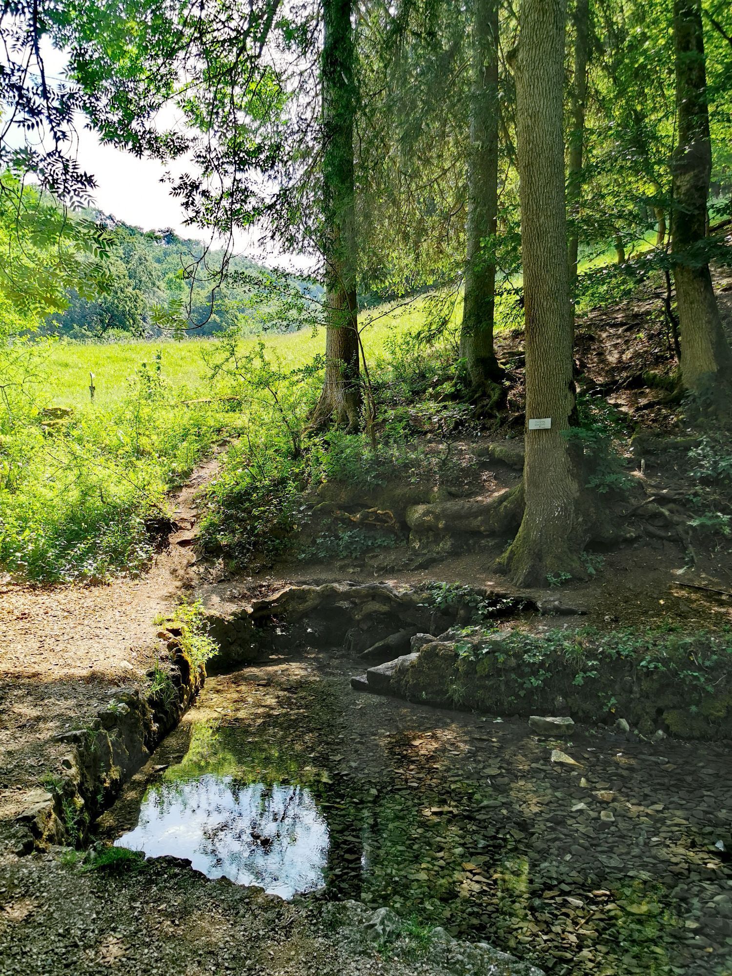
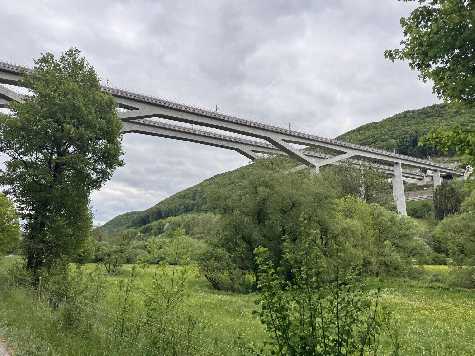
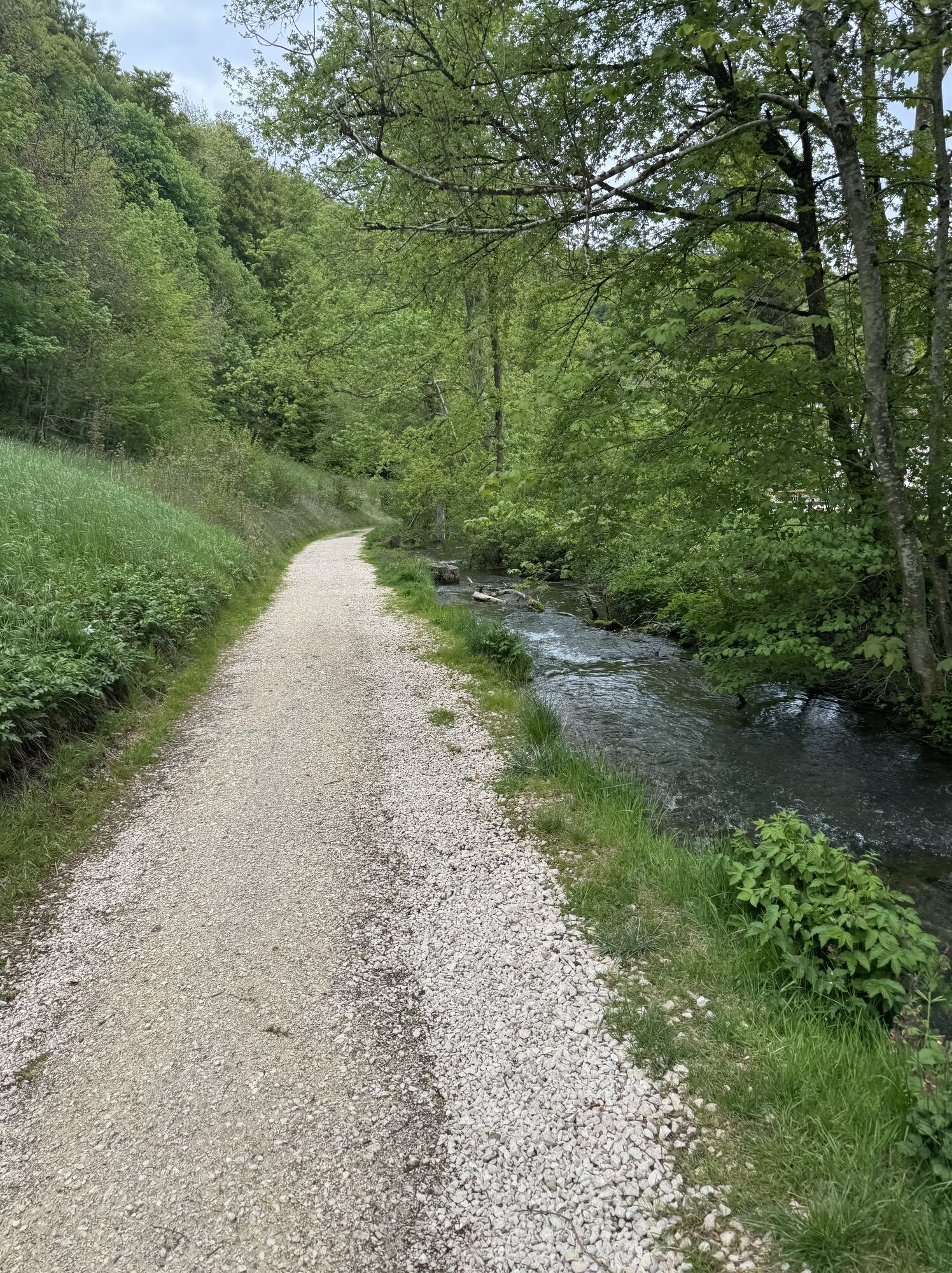
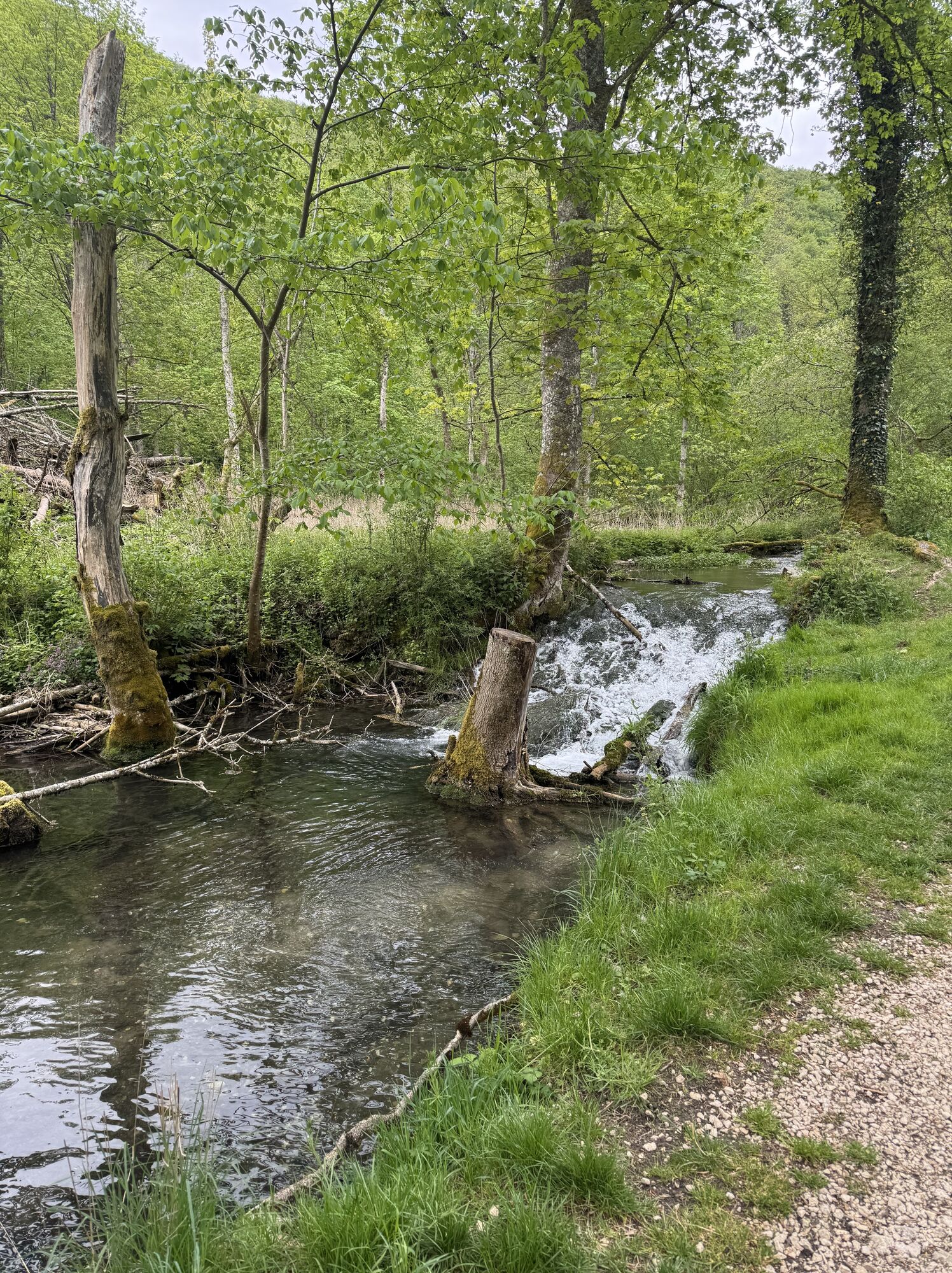
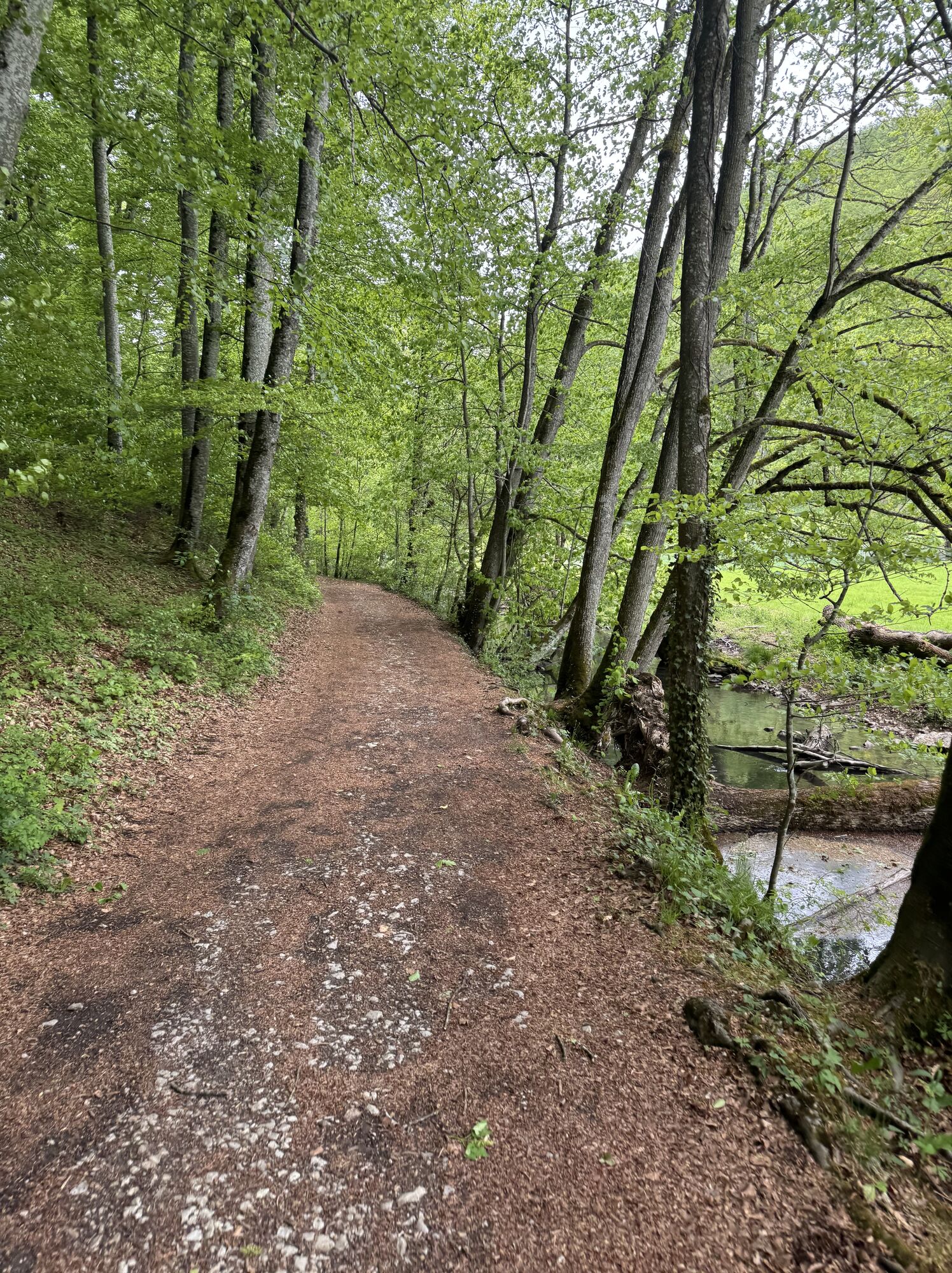
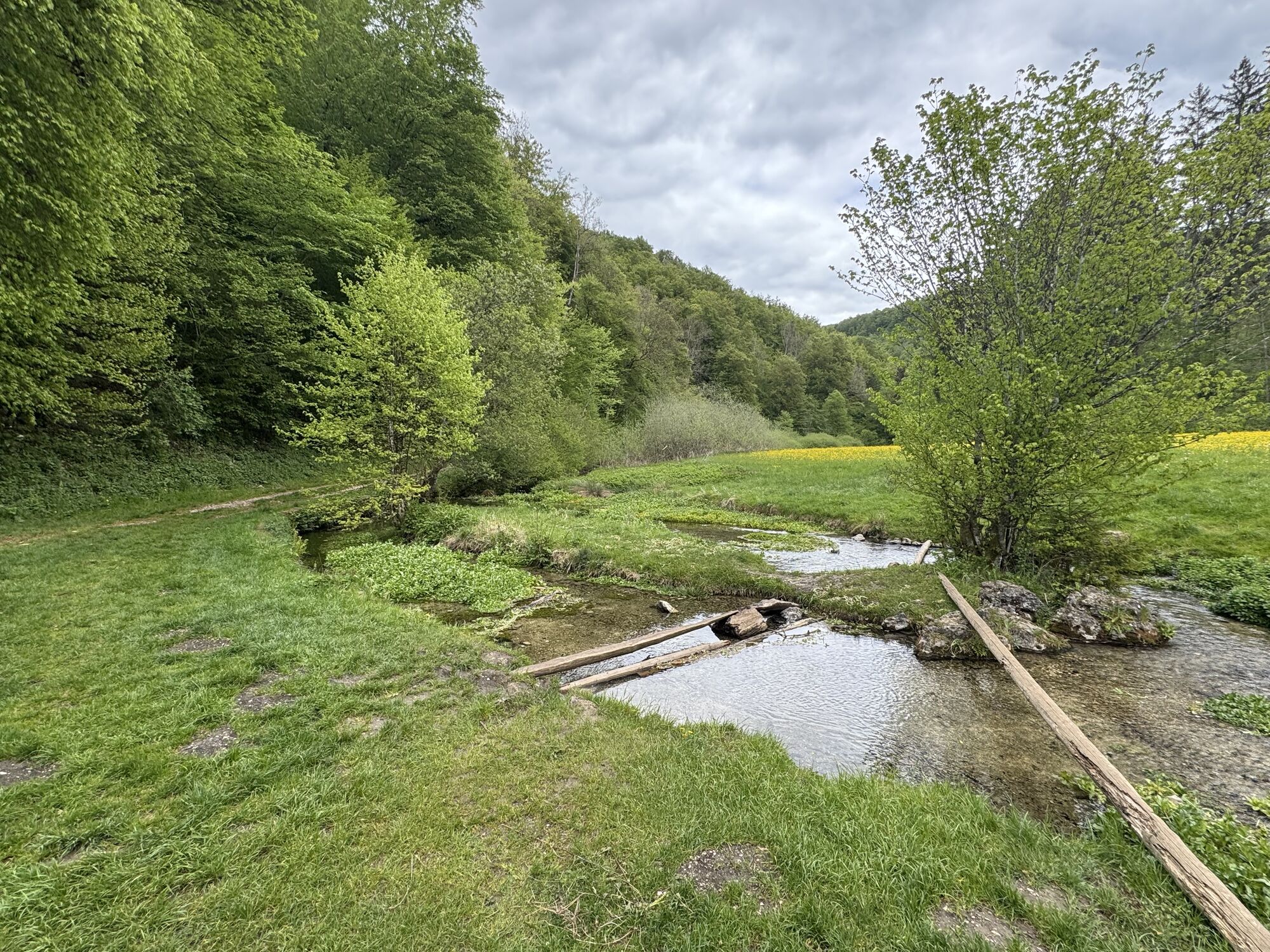
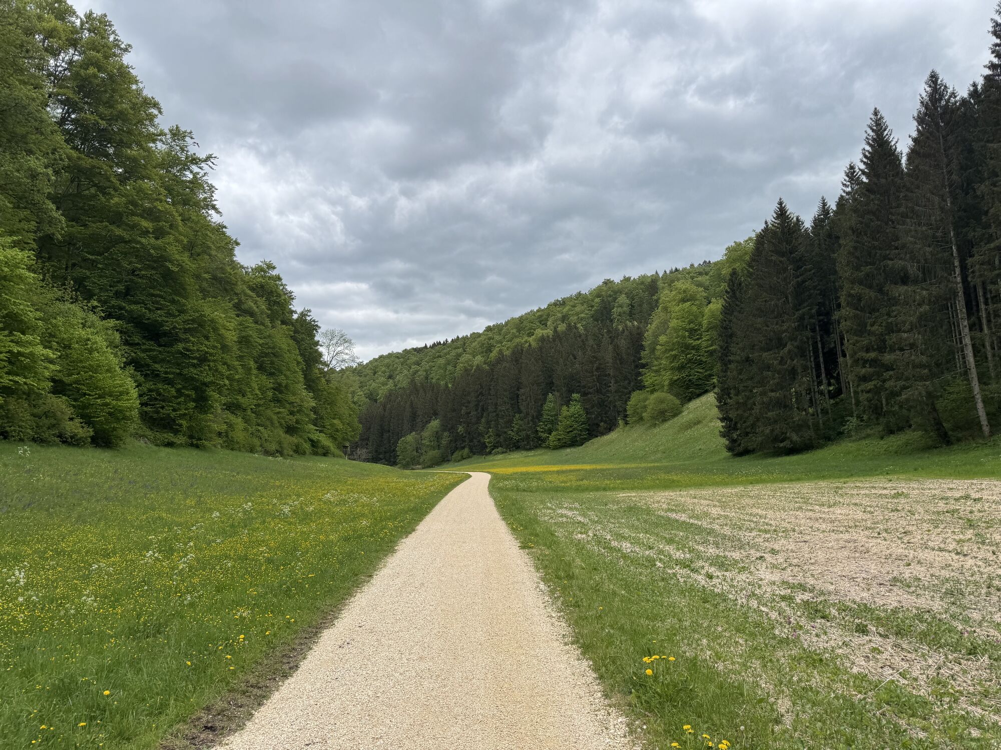
The Swabian Alb and its foreland are essential components of the unique cuesta landscape in southwest Germany and significantly shape the landscape of the district of Göppingen. To the northwest, the steep...
The Swabian Alb and its foreland are essential components of the unique cuesta landscape in southwest Germany and significantly shape the landscape of the district of Göppingen. To the northwest, the steep slope, which overcomes hundreds of meters, forms the striking "blue wall" of the Albtrauf, which is visible from afar. On the opposite side, the Alb plateau gradually slopes down towards the Danube.
Especially unique is the double Albtrauf in the Upper Filstal. Over the gently rising Filstal, you can comfortably reach the plateau of the Kuppenalb. This area, largely used by humans for agriculture, differs clearly from the narrow, forested valleys. From the heights of the Alb, there are impressive views at many points of the charming upper Filstal. The variety and grace of the cultural landscape features ensure variety along the entire route.

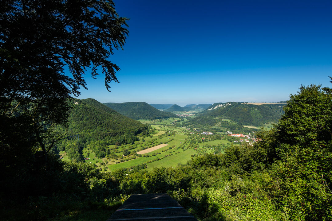
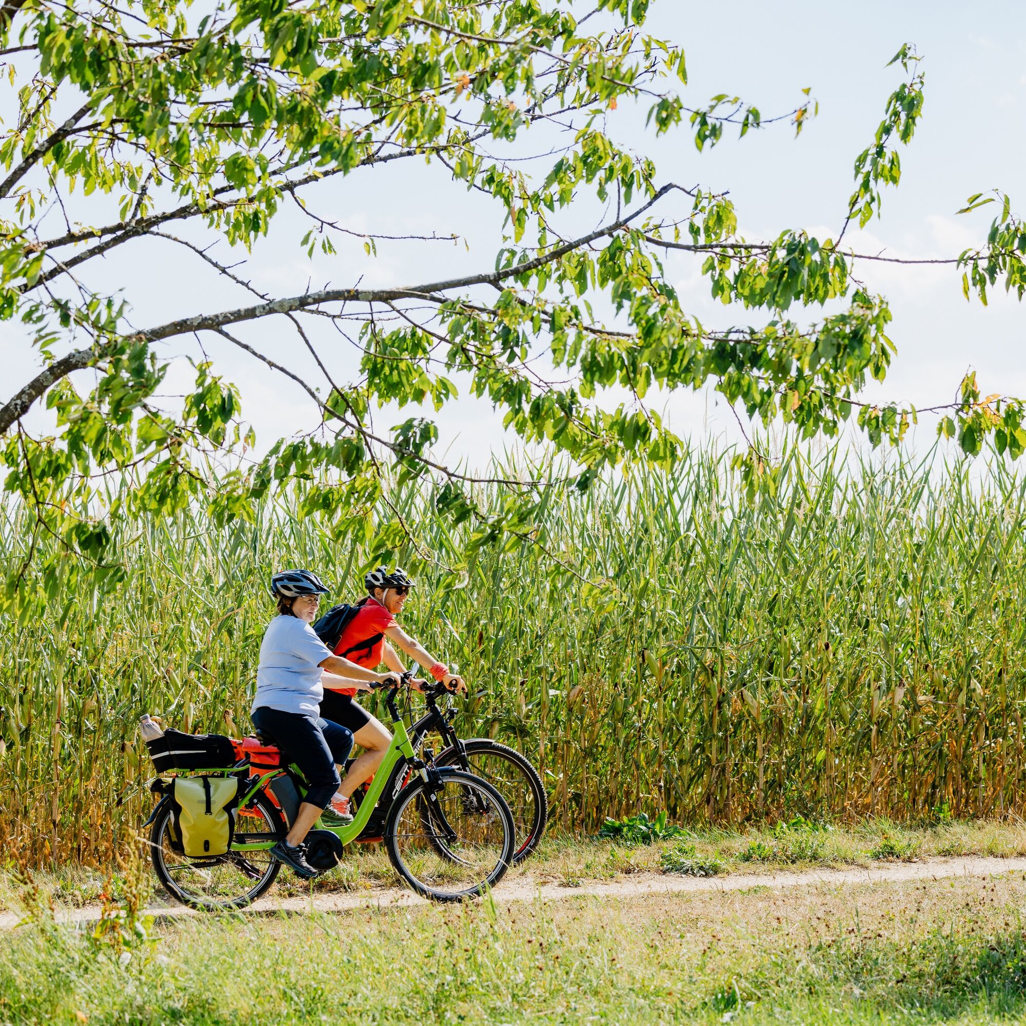
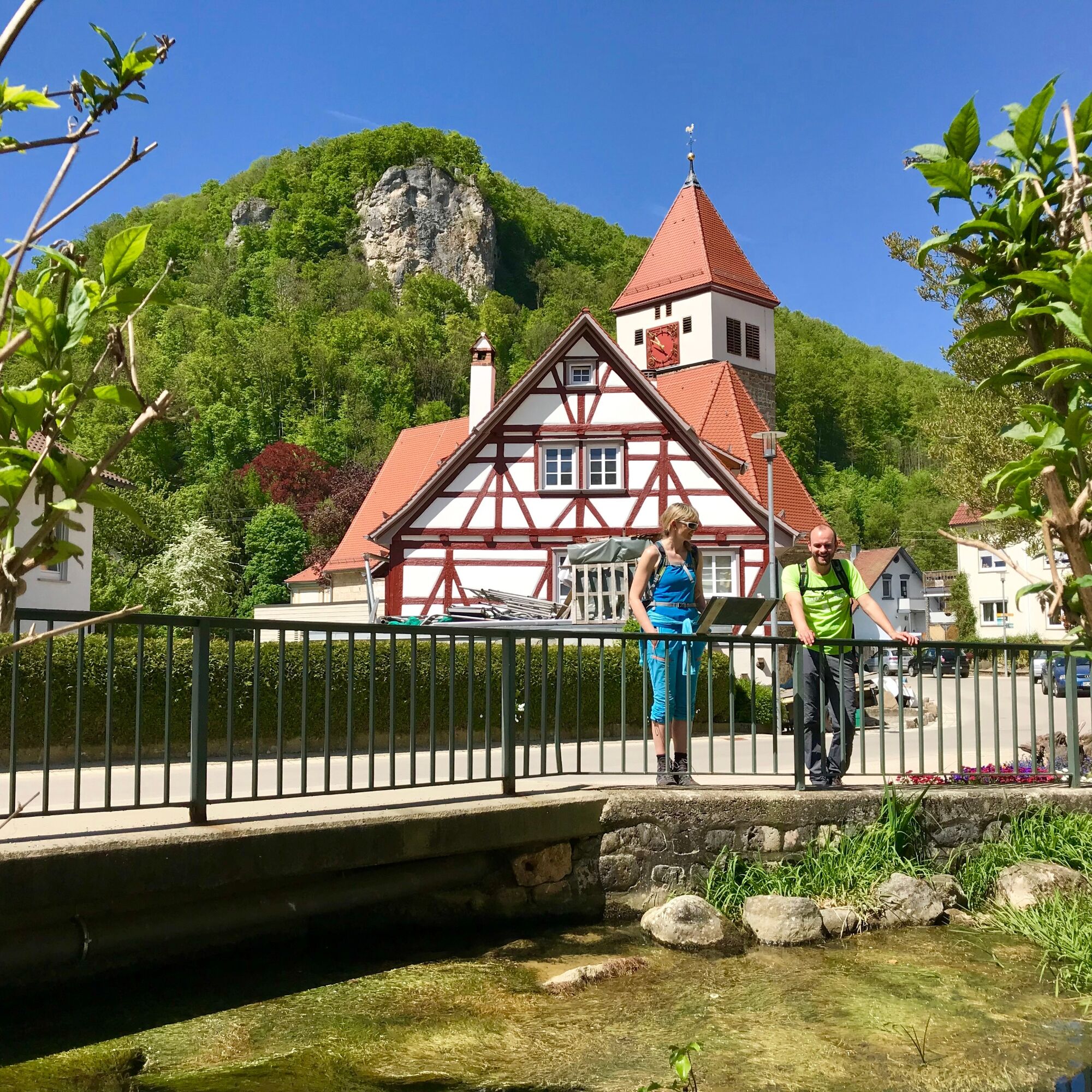
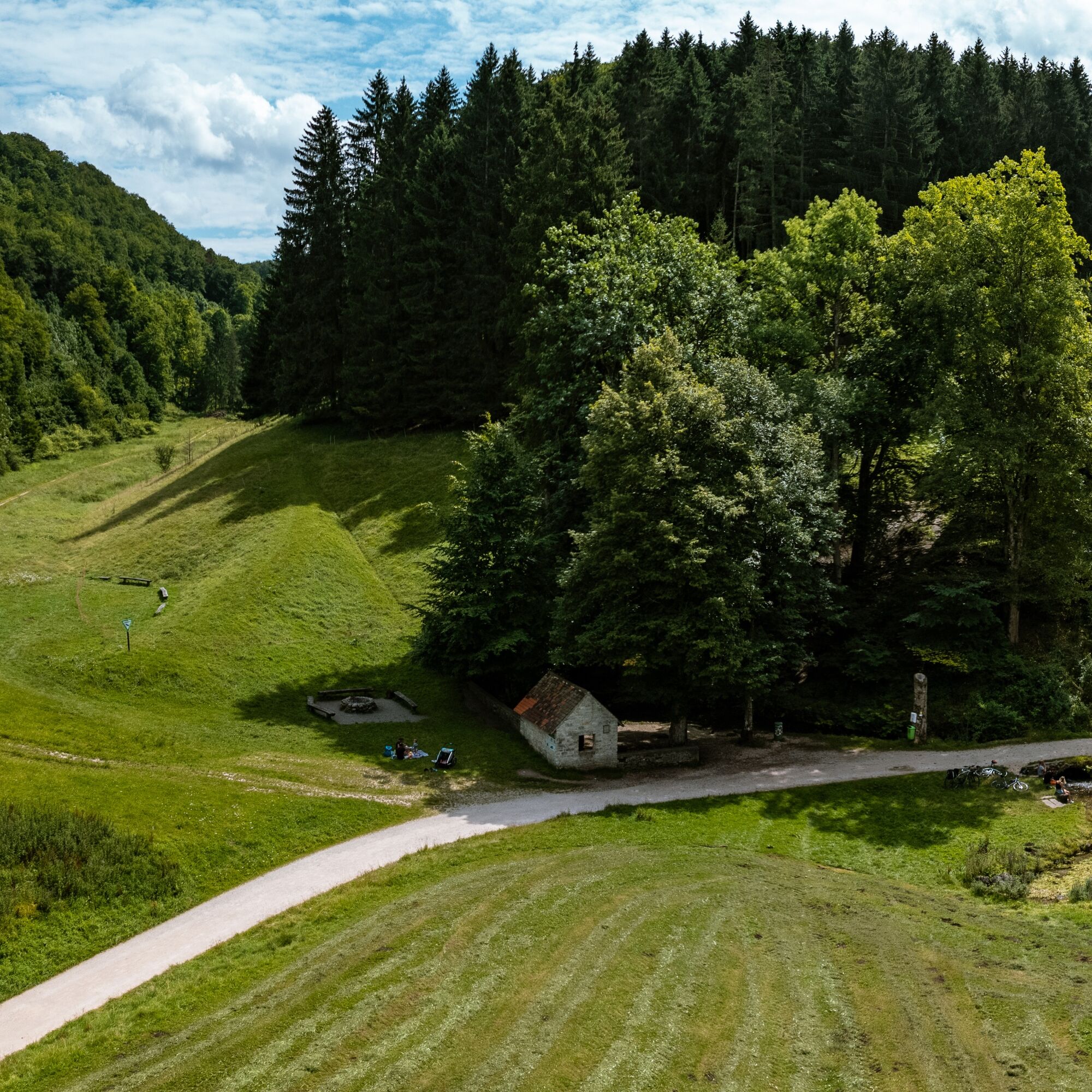
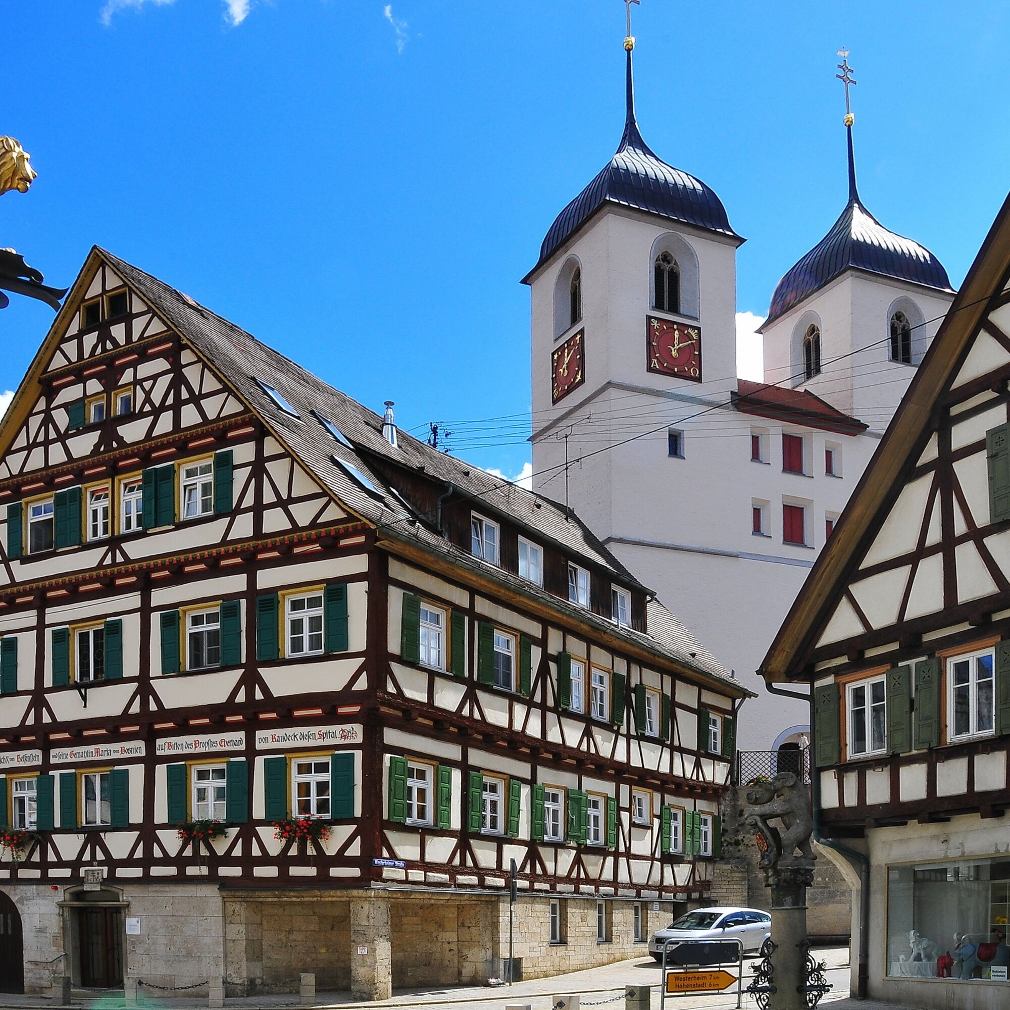

The starting point of the Albtrauf route can be chosen flexibly. The cycling route passes through three remarkable landscapes of the district of Göppingen: Goisstäler, Alb plateau, Eyb and Roggental. The Goisstäler begins in Geislingen/Steige (418 m) and leads over the adjoining Hasental up to Bahnhöfle (709 m) near Wiesensteig. Since the route here mostly runs on a former railway track, the gradient conditions are very family-friendly. From Bahnhöfle, you cycle to Böhmenkirch on the comparatively gently rolling Alb plateau. In the loop back to Geislingen, the route reaches the Eyb and Roggental, which lie in a beautiful nature reserve. Directly on the way, you will find the Lower and Upper Roggenmühle as well as the legendary Mordloch, a mysterious karst cave entrance that has already been honored as the crime scene of a successful detective novel.
Ano
Not suitable for racing bikes.
Good parking possibilities near the cycling route are offered by the parking lot of the Reußenstein ruins. Coming from Stuttgart or Ulm, leave the A8 at the Mühlhausen exit and follow the L1200 towards Wiesensteig. After Wiesensteig on the Alb plateau, turn left towards Schopfloch. You will reach the parking lot on the left side.
There are further parking spaces in the communities along the route.
If you arrive by train, the large district town Geislingen/Steige and Amstetten (Württemberg) are ideal starting points. You can reach these with the IRE and MEX/RB connections of the Filstal clock between Stuttgart and Ulm.
You can find the district timetable at: www.vvs.de/fahrplan
Along the route, there are many entry possibilities and parking spaces.
4
Respectful coexistence in the district of Göppingen.
Code of conduct:
Respect path closures and the rest zones developed in the leisure trail concept. Leave no traces such as litter or animal droppings, treat your path gently. Act foresighted and considerately. Adapt your behavior to the respective situation. Safety comes first. Respect other users of forest and countryside. Show consideration for animals and plants. Plan ahead and use daylight. Try to avoid dusk in the morning and evening. Observe the prohibition of entering agriculturally used areas during the growing season. Stay on the designated paths and avoid forest edges so that wild animals can better get used to humans.More information at ruecksicht-macht-wege-breiter.de
Thermal baths Bad Ditzenbach & Bad Überkingen
Získejte přehled Vždy živě na místě s více než 9 500 webkamerami. bergfex Jako uživatel Pro si nyní můžete zobrazit odpovídající webové kamery pro mnoho prohlídek v aplikaci prohlídky z. Můžete si tak přímo prohlédnout aktuální podmínky. Oblíbené prohlídky v okolí
- 4.5
Löwenpfad "Orchideenpfad" - Herbs, Pasqueflower and Juniper Heathlands
středníTuristika 9.33 km - 4.8
Löwenpfad "Filsursprung-Runde" - pure nature around the Reußenstein
středníTuristika 14.1 km - 5.0
Lion trail "Berta-Hörnle-Tour" - castle stories in a dreamlike setting
heavyTuristika 14.7 km - 4.5
Löwenpfad "Weitblick-Tour" - High up and far-reaching view
heavyTuristika 12.0 km - 5.0
Boßler circuit
středníTuristika 8.59 km - 4.7
Löwenpfad "Filstalgucker" - views from the heart of the Filstal valley
středníTuristika 13.0 km - 3.7
Löwenpfad "Wasserberg-Runde" - pure panorama and typical Swabian Jura landscapes
heavyTuristika 12.0 km - 4.3
Löwenpfad "Steigen Tour" - Along the Swabian Landmark of the Century
heavyTuristika 17.3 km - 3.8
Lion trail "Ave-Weg" - A touch of pilgrimage on the Albtrauf
středníTuristika 8.65 km - 1.0
Nordalbrunde
středníTuristika 4.76 km

Pěší turistika a stopování


Nenechte si ujít nabídky a inspiraci pro vaši příští dovolenou
Vaše e-mailová adresa byl přidán do poštovního seznamu.





