Navigace na stránkách
Pořiďte si tuto prohlídku do mobilního telefonu
Mapa
Tour de Murg from Baiersbronn to Rastatt
střední
Jízda na kole
57.72 km
Naskenujte QR kód a spusťte navigaci v aplikaci bergfex.
QR Code
Pěší turistika a stopování

Tour de Murg from Baiersbronn to Rastatt

Vzdálenost
57.7 km
Doba trvání
04:35 h
Ascent
322 hm
Hladina moře
115 - 543 m

Úroveň obtížnosti: 1

Stažení skladby
Mapa
Tour de Murg from Baiersbronn to Rastatt
střední
Jízda na kole
57.72 km

Starting in Freudenstadt (total length 64 km) or in Baiersbronn (total length 57 km) down to the former residence town Rastatt, the path passes idyllic corners and picturesque places, harmoniously connecting...

Popis

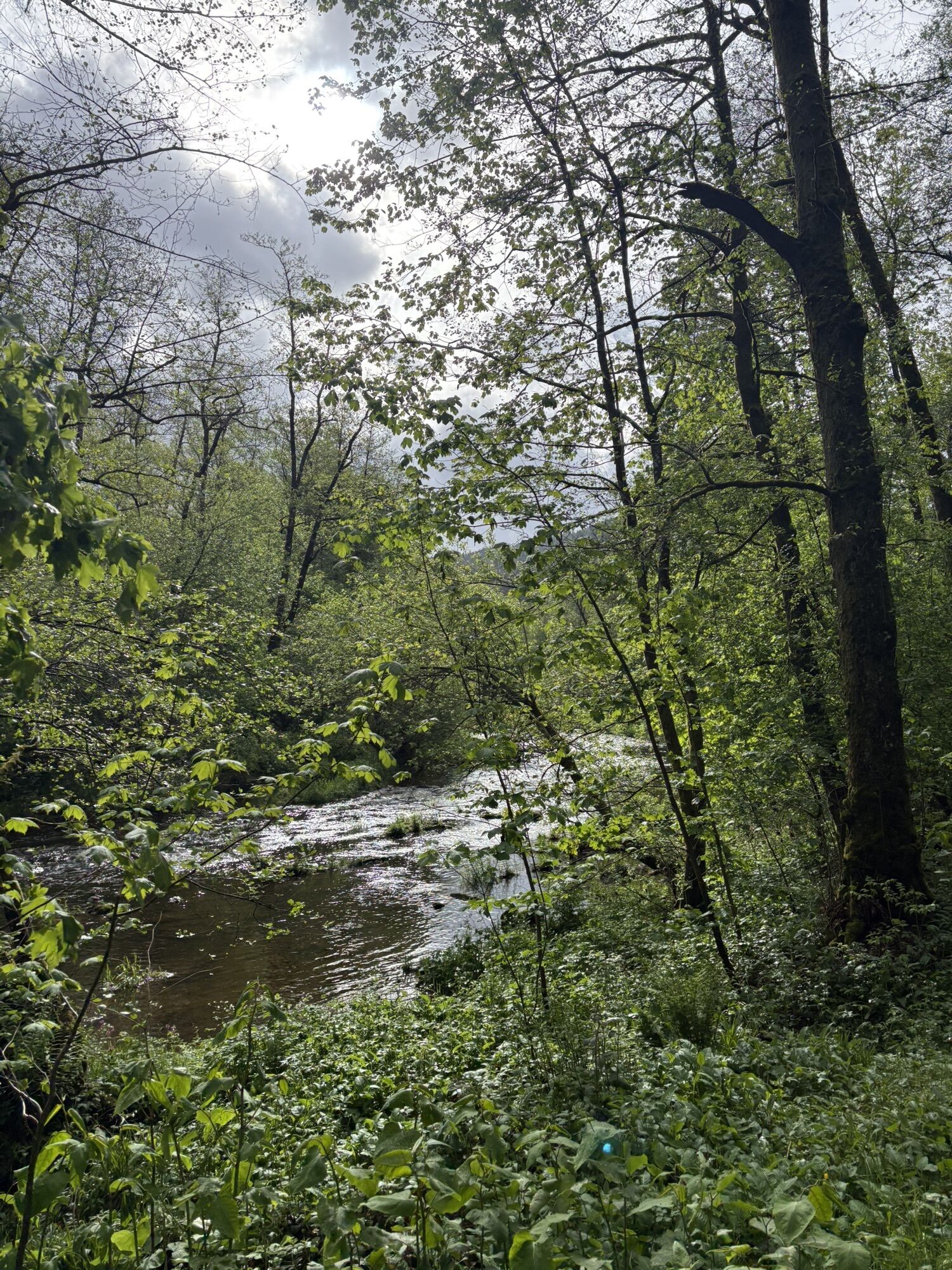
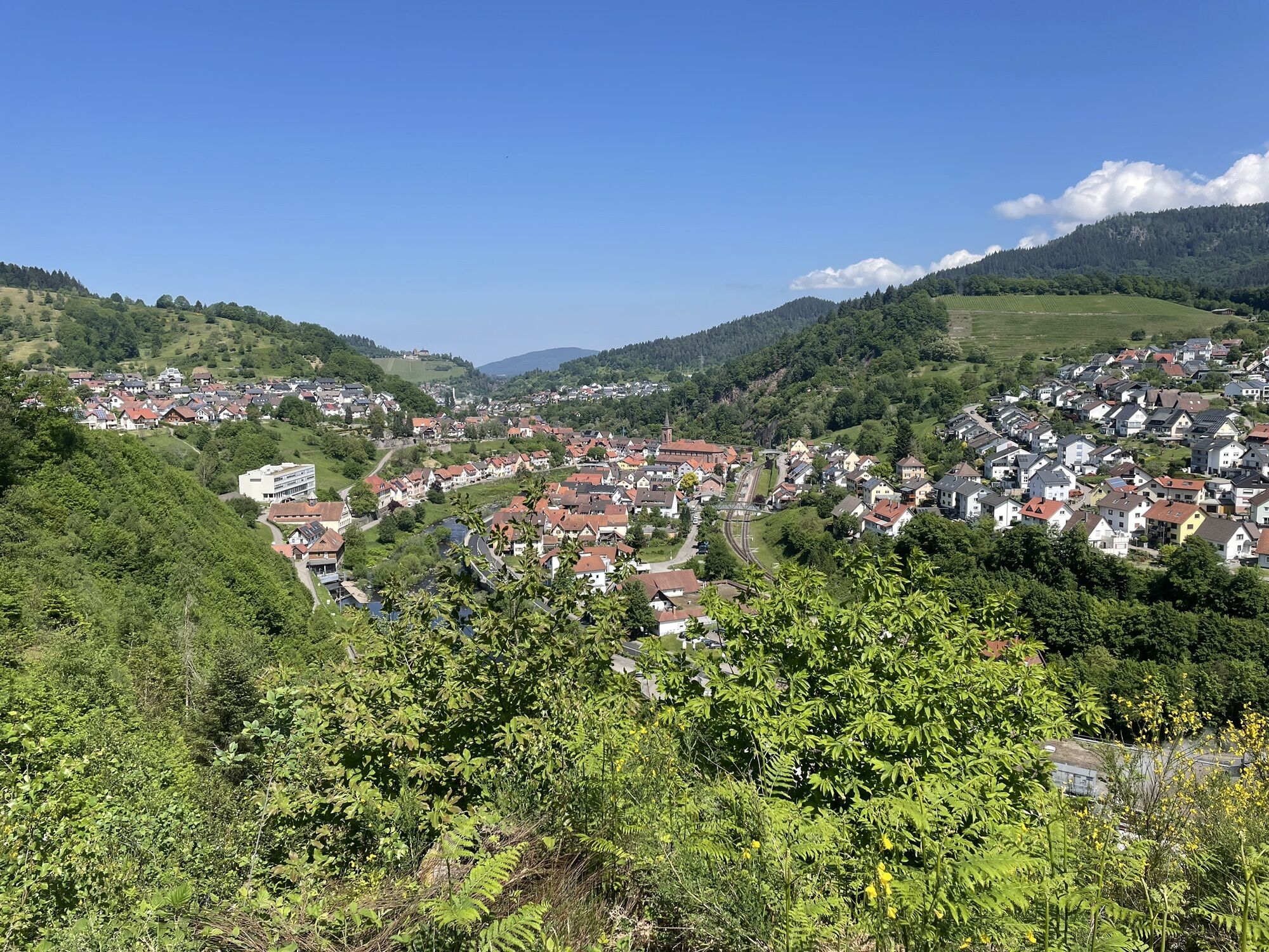
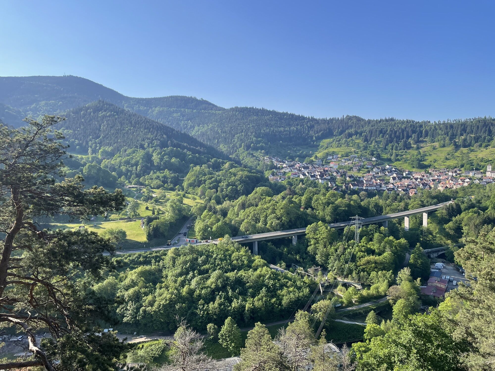
Starting in Freudenstadt (total length 64 km) or in Baiersbronn (total length 57 km) down to the former residence town Rastatt, the path passes idyllic corners and picturesque places, harmoniously connecting culture, landscape, and tradition. Besides extensive forests and open valleys, the "Tour de Murg" winds past magnolia trees, chestnut, fir, and deciduous forests.

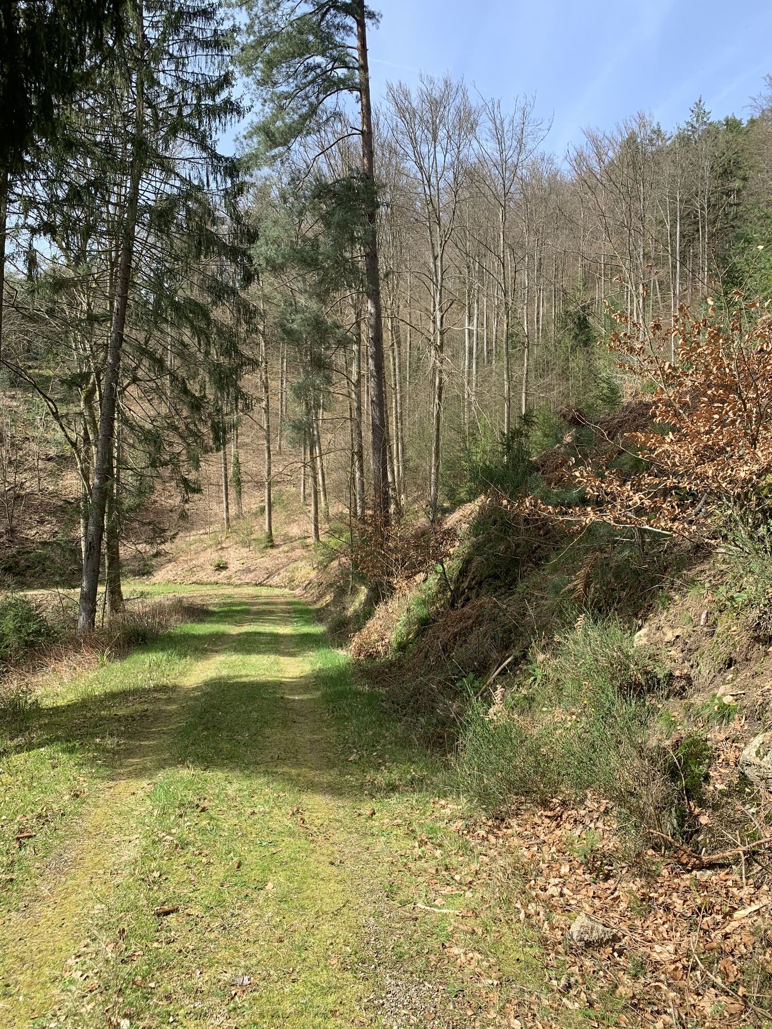
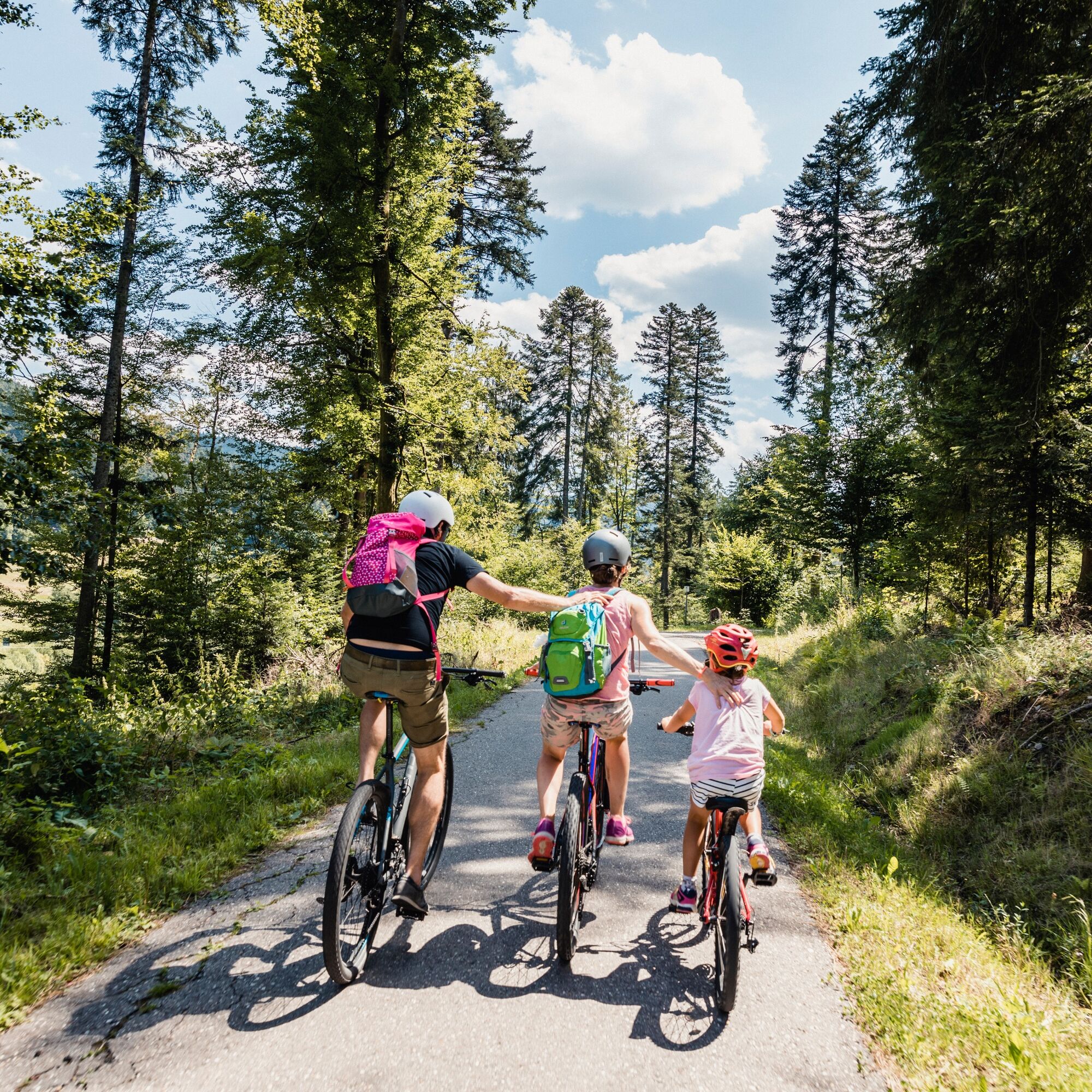
The approximately 64-kilometer tour downstream is especially recommended for families with children, as the total descent of 500 meters significantly eases progress. Conversely, the upstream tour presents a sporty challenge. In the warm season, you can refresh yourself in the baths located along the route or relax at numerous barbecue, rest, and playground areas. The entire route is well signposted both downstream and upstream. The bike path is mostly asphalted; some sections are well-passable forest trails.

Trasa
Ev.-Meth. Auferstehungskirche
(544 m)
Místo konání bohoslužeb
0.8 km
Ev.-meth. Eben-Elzer-Kapelle
(497 m)
Místo konání bohoslužeb
7.2 km
Schönmünzach
(466 m)
Vesnice
14.8 km
Pfarrkirche St. Valentin
(290 m)
Místo konání bohoslužeb
29.4 km
Sankt-Erhard-Kapelle
(180 m)
Místo konání bohoslužeb
37.1 km
Radfahrer-Kirche
(156 m)
Místo konání bohoslužeb
41.8 km
Heilig Kreuz
(144 m)
Místo konání bohoslužeb
49.9 km
Trasa
Mapa
Tour de Murg from Baiersbronn to Rastatt
střední
Jízda na kole
57.72 km
Oberdorf
(571 m)
Sousedství
0.0 km
Baiersbronn
(547 m)
Železniční stanice
0.0 km
Baiersbronn
(584 m)
Město
0.4 km
Unterdorf
(543 m)
Sousedství
0.5 km
Ev.-Meth. Auferstehungskirche
(544 m)
Místo konání bohoslužeb
0.8 km
Brunnenrain
(520 m)
Koridor/terén
2.1 km
Klosterreichenbach
(517 m)
Vesnice
3.2 km
Röt
(527 m)
Vesnice
7.2 km
Ev.-meth. Eben-Elzer-Kapelle
(497 m)
Místo konání bohoslužeb
7.2 km
Schönegründ
(541 m)
Vesnice
9.0 km
Huzenbach
(485 m)
Vesnice
11.4 km
Zu Hause Huzenbach
(482 m)
Sousedství
11.5 km
Romantik Hotel Sackmann
(475 m)
Restaurace
12.9 km
Löwen
(470 m)
Restaurace
13.0 km
Schwarzenberg
(498 m)
Vesnice
13.1 km
Schönmünzach
(463 m)
Železniční stanice
14.4 km
Schönmünzach
(466 m)
Vesnice
14.8 km
Rendelbach
(467 m)
Koridor/terén
15.6 km
Raumünzach
(400 m)
Vypořádání
19.0 km
Sasbach
(326 m)
Koridor/terén
23.4 km
Stegleiter
(326 m)
Koridor/terén
24.2 km
Forbach
(295 m)
Vesnice
25.4 km
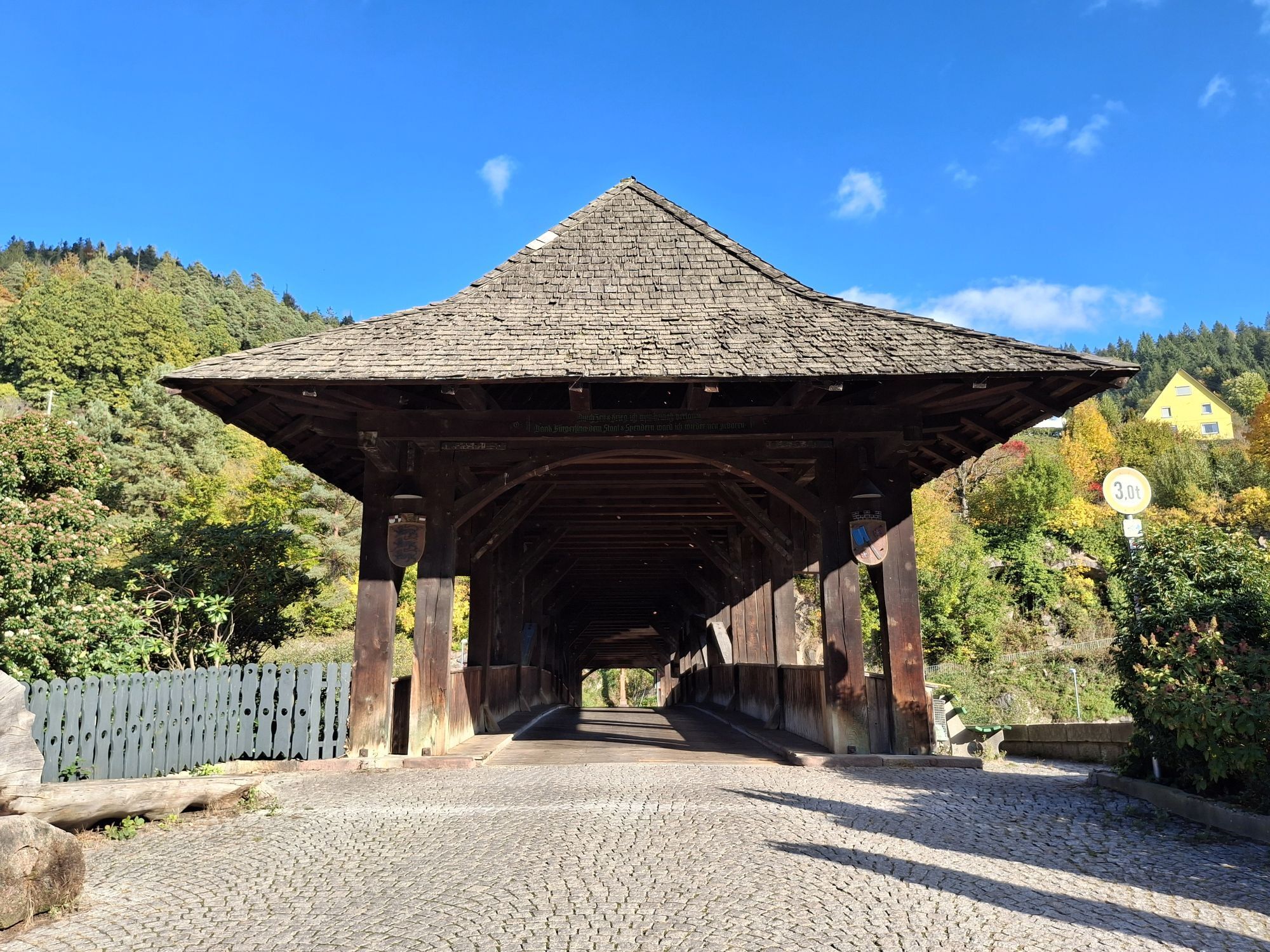
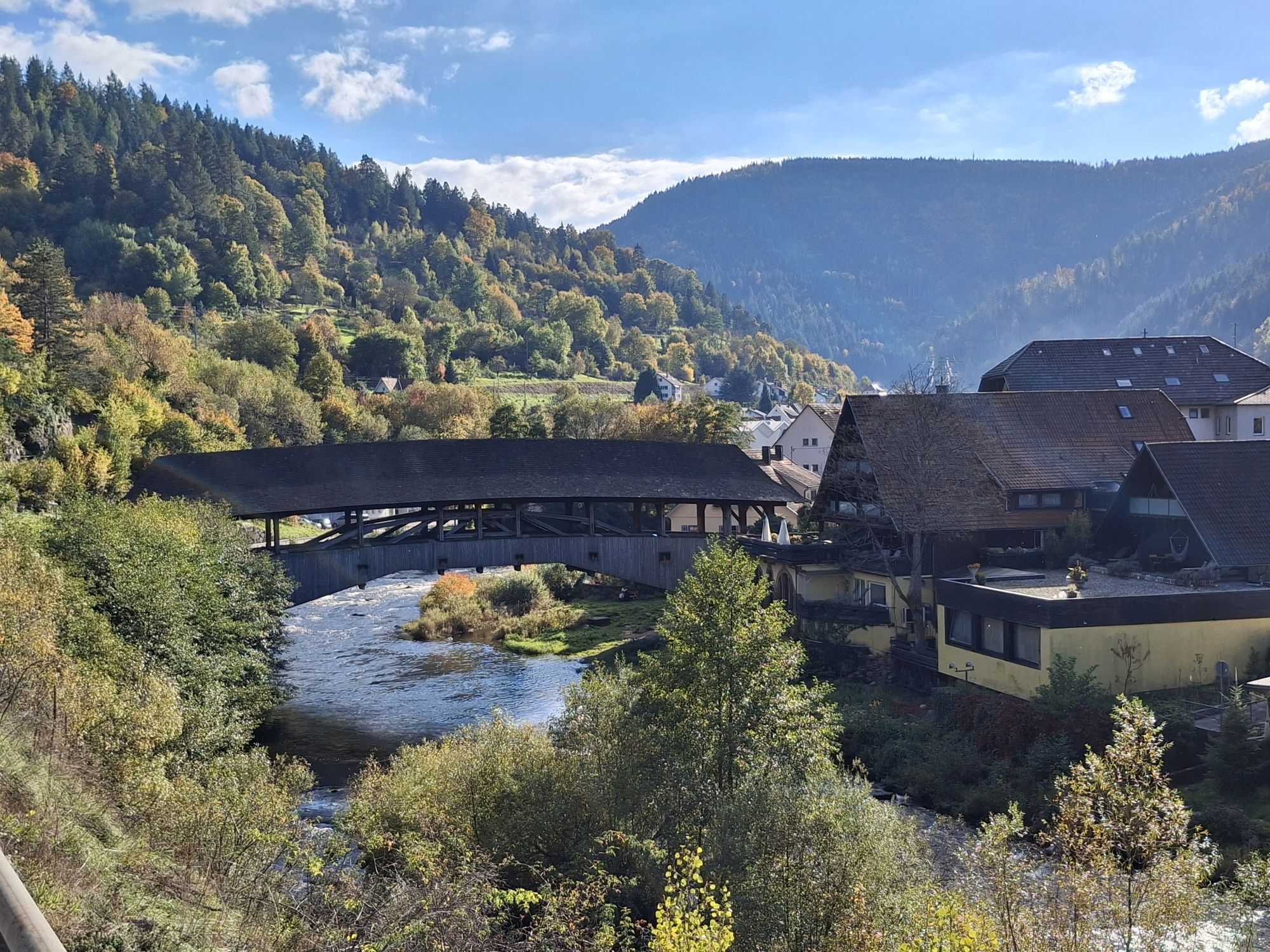
Blick auf Holzbrücke
(290 m)
Úhel pohledu
25.5 km
Forbach (Schwarzwald)
(305 m)
Železniční stanice
25.6 km
Seliger Bernhard
(327 m)
Místo konání bohoslužeb
26.1 km
Landgasthof Waldhorn
(306 m)
Restaurace
26.2 km
Gausbach
(322 m)
Vesnice
26.4 km
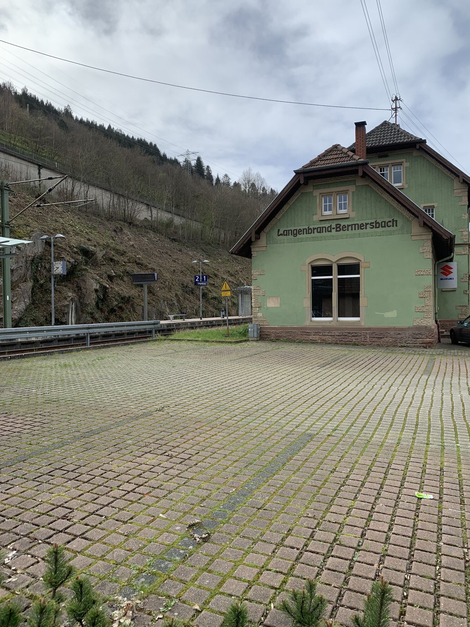
Langenbrand
(275 m)
Vesnice
29.4 km
Pfarrkirche St. Valentin
(290 m)
Místo konání bohoslužeb
29.4 km
Murgtäler Hof
(273 m)
Restaurace
29.7 km
Langenbrand
(264 m)
Železniční stanice
30.1 km
Maria Königin
(230 m)
Místo konání bohoslužeb
33.6 km
Au im Murgtal
(234 m)
Vesnice
33.7 km
Sankt-Wendelinus-Kapelle
(211 m)
Místo konání bohoslužeb
35.0 km
Weisenbach
(228 m)
Vesnice
35.1 km
Hilpertsau
(184 m)
Vesnice
36.2 km
Sankt-Erhard-Kapelle
(180 m)
Místo konání bohoslužeb
37.1 km
Obertsrot
(179 m)
Vesnice
37.1 km
Klingel-Kapelle
(188 m)
Místo konání bohoslužeb
38.6 km
Sankt Jakob
(174 m)
Místo konání bohoslužeb
39.6 km
Gernsbach
(174 m)
Město
39.6 km
Kelterplatz
(164 m)
Sousedství
39.7 km
Radfahrer-Kirche
(156 m)
Místo konání bohoslužeb
41.8 km
Hörden
(156 m)
Vesnice
42.0 km
Markus-Kirche
(144 m)
Místo konání bohoslužeb
45.2 km
Gaggenau
(141 m)
Město
45.5 km
Bad Rotenfels
(138 m)
Sousedství
47.4 km
Oberndorf
(146 m)
Vesnice
49.8 km
Heilig Kreuz
(144 m)
Místo konání bohoslužeb
49.9 km
Kuppenheim
(131 m)
Město
52.2 km
Niederbühl
(122 m)
Vesnice
55.0 km
Rastatt
(123 m)
Město
56.8 km
Rastatt
(121 m)
Železniční stanice
57.6 km
Informace o prohlídce

Attention!

The Tour de Murg between Schönmünzach and Kirschbaumwasen is closed due to a rockfall!

The marked detour is only suitable for off-road bicycles. Others are advised to cover the route by S-Bahn (board the front carriage in Schönmünzach – only the first two doors are usable in Kirschbaumwasen).

One more note:

Due to the garden show, there is currently a marked detour until the end of October from Baiersbronn station via the B462 (30 km/h zone), continuing via Neumühleweg to Lochweg. Then past the motorhome parking area towards the pump track and from there please follow the original route of the Tour de Murg.

Technologie
1 / 6
Stav
4 / 6
Krajina
4 / 6
Zkušenosti
4 / 6
Nejlepší roční období
Led
Úno
Bře
Dub
Kvě
Čen
Čec
Srp
Zář
Říj
Lis
Pro
Sdílet prohlídku
Mapa
Tour de Murg from Baiersbronn to Rastatt
střední
Jízda na kole
57.72 km
Chyba
Došlo k chybě. Zkuste to prosím znovu.
Zatím žádné recenze
Napište recenzi

Recenze pomáhají ostatním uživatelům při výběru dalšího dobrodružství. Hodnoťte prosím pouze prohlídku, nikoli počasí nebo svačinu.

Výběrem jedné z hvězdiček ohodnotíte prohlídku
Špatné turné
Slabé turné
Průměrné turné
Dobrá prohlídka
Vynikající prohlídka
bergfex logo Získejte přehled Vždy živě na místě s více než 9 500 webkamerami. bergfex Jako uživatel Pro si nyní můžete zobrazit odpovídající webové kamery pro mnoho prohlídek v aplikaci prohlídky z. Můžete si tak přímo prohlédnout aktuální podmínky.
Pěší turistika a stopování

Pěší turistika a stopování

Pěší turistika a stopování
Více než 550.000 návrhů výletů, podrobné mapy a intuitivní plánovač tras dělají z aplikace nezbytnou výbavu pro všechny milovníky přírody.
bergfex