


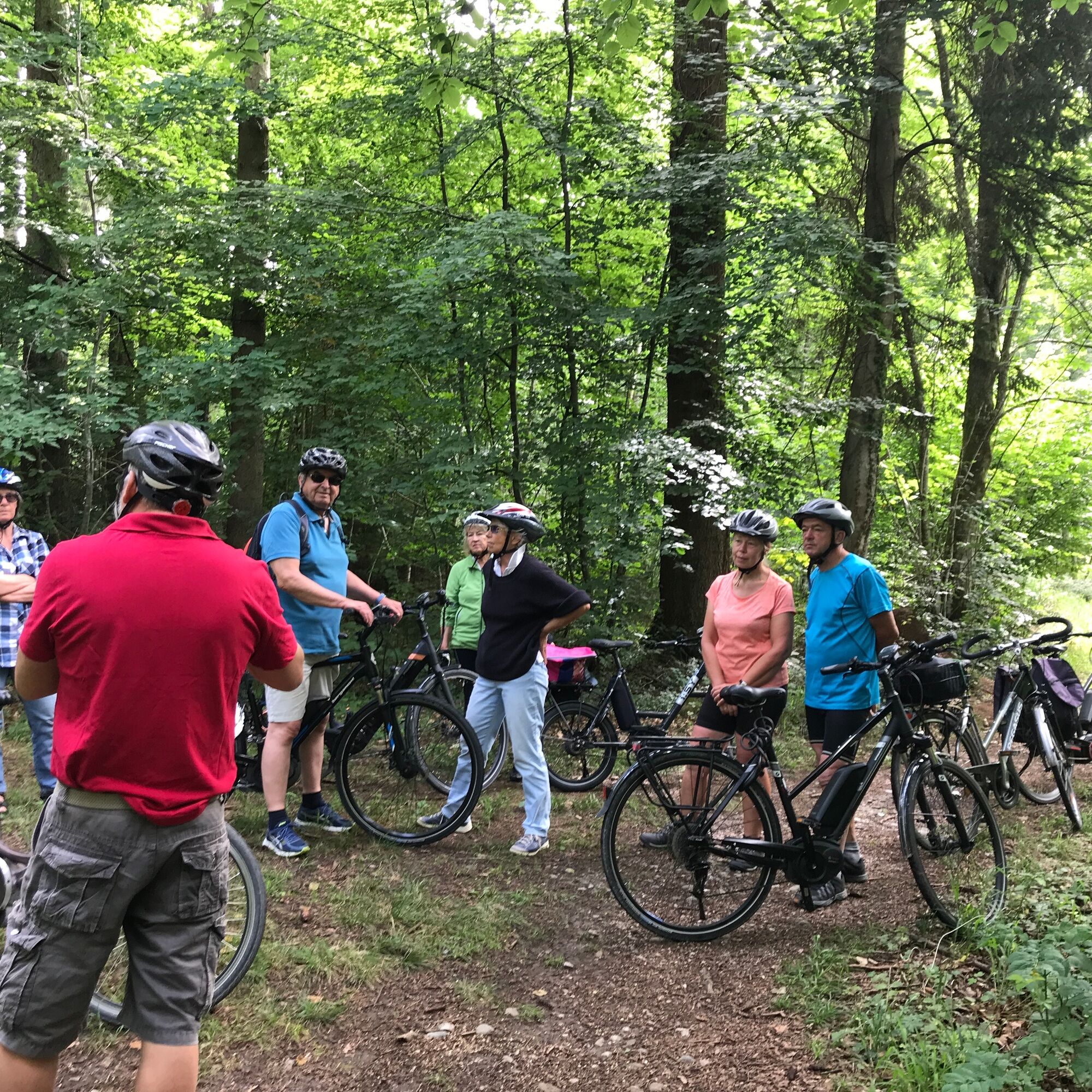
Short bike route over the unknown Bodanrück
The one-hour circular route starts and ends in Allensbach on Lake Constance. From the station, it goes to the Baderle pond, over the Simmel and Bussenried, past the Mühlenweiher to Kaltbrunn. In a wide...
The one-hour circular route starts and ends in Allensbach on Lake Constance. From the station, it goes to the Baderle pond, over the Simmel and Bussenried, past the Mühlenweiher to Kaltbrunn. In a wide arc, the path leads through the Büntlisried nature reserve and on shady forest paths back to Allensbach – one hour of pure nature on the Bodanrück!

From Allensbach station, the route leads along Hafner Straße past the Schmieder clinics and the small Baderle pond. Along the edge of the forest it goes left around the Tafelholz to the idyllic Simmelried. Here it is worth stopping the bike briefly and exploring the narrow path directly at the shore. Along the way, there are numerous impressive anthills to discover.
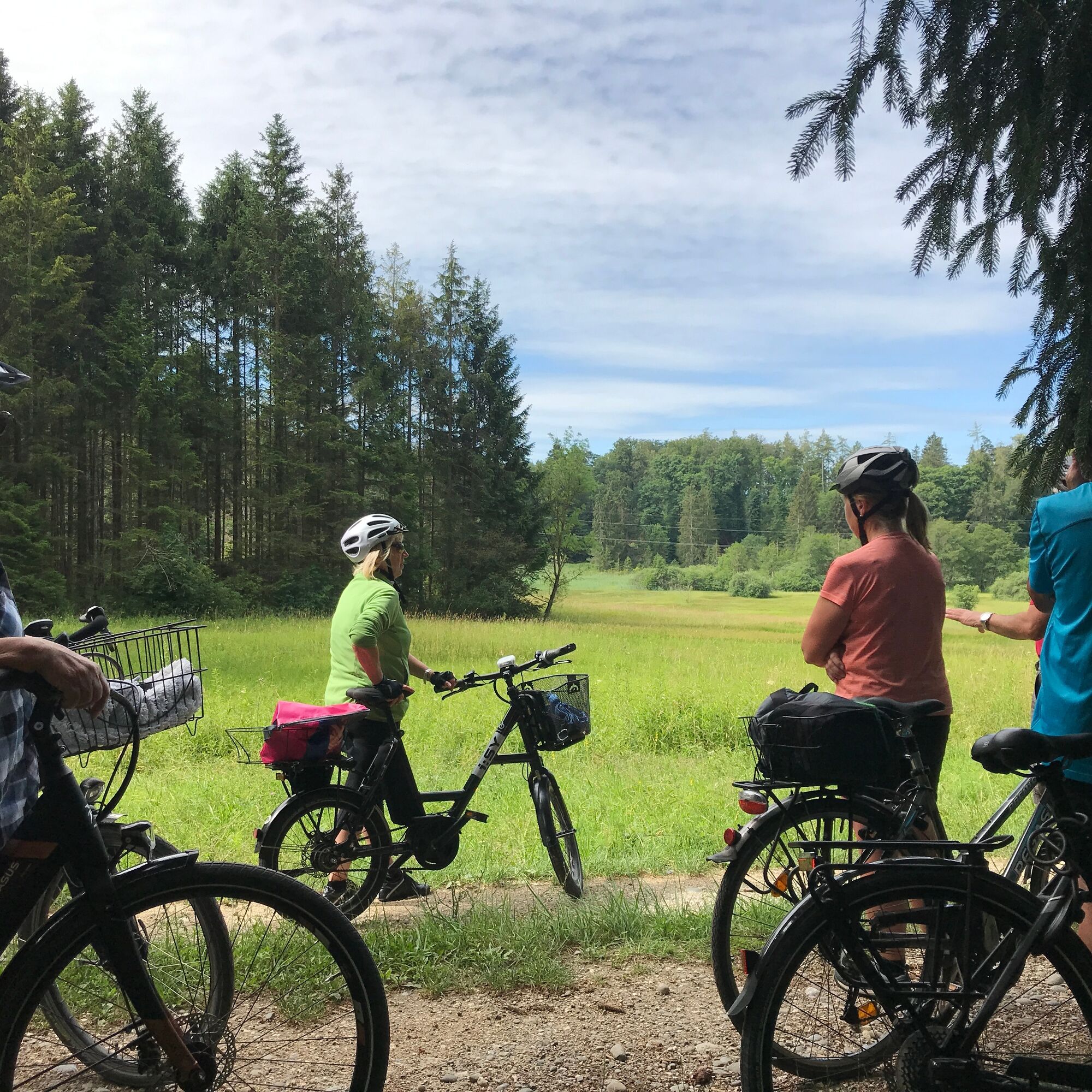
At the next intersection, the path leads left in a gentle arc to the southern edge of Bussenried. Through an open meadow landscape, it continues in a northeast direction to a crossroads. Turn right there and circle Mittelmoos before the route runs a short stretch on Allensbacher Straße, then past the Mühlenhalder Hof and along the right side of Mühlenweiher.
Past Dürrainhof it goes over Freudentaler Straße to Kaltbrunn. Here the rustic village pub “Bunte Kuh” invites you to take a break. Alternatively, at the outskirts you can fill your picnic basket at the farm shop of the organic farm Müller with regional delicacies (opening hours to be observed).
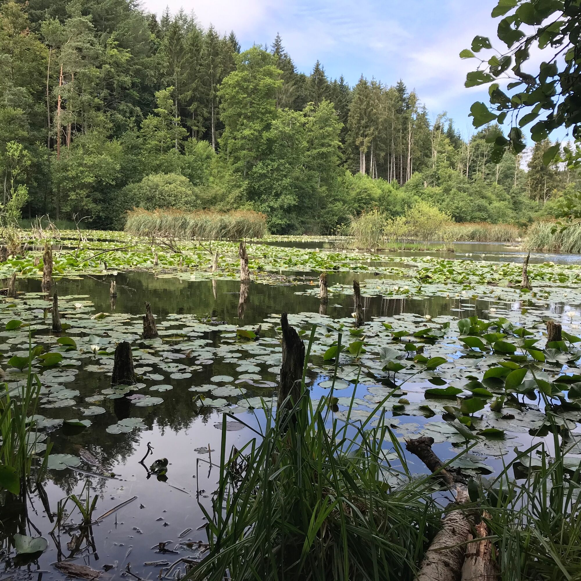
After 1.5 kilometers on Markelfinger Straße, the path turns left into the forest and leads to Büntlisried – a nature paradise covered with water lilies that invites quiet reflection. Through the forest it continues over the B33 overpass and along Holzgasse back to Allensbach station.
A varied route for nature lovers that combines idyllic ponds and hidden reed landscapes.
Ano
Ano
Rain and sun protection as well as drinks are recommended.
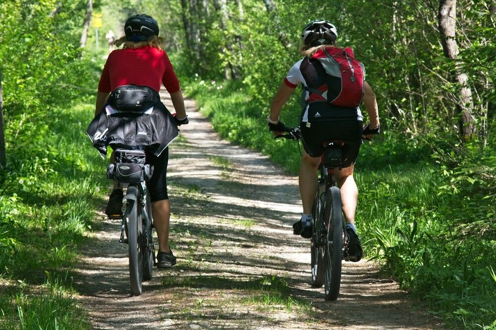
Cyclists please wear a helmet.
On the B33 towards Konstanz, exit Allensbach.
By train to Allensbach (bicycle transport is possible)
There is a free federal railway parking lot 200 meters east of the station.
There is a lot to see, bring a camera to capture the beauty of nature.
Oblíbené prohlídky v okolí
- 4.0
Vom Bahnhof Konstanz entlang des Bodenseeufers zur Insel Mainau
středníTuristika 10.4 km - 4.0
Around the island of Reichenau
světloTuristika 10.9 km - 5.0
Mindelsee-Runde
světloTuristika 7.83 km - 4.7
Rundwanderung Aachtobel - Hohenbodman
Turistika 7.66 km Hike on the panorama route of the Höri Peninsula
středníTuristika 8.11 km- 4.0
Bodanrück-Runde
heavyTuristika 8.36 km - 4.0
Circular hike Gaienhofen-Middle Höri
středníTuristika 12.6 km - 4.5
Mühlsberg route
středníTuristika 8.67 km - 5.0
Überlingen, Baden-Württemberg
světloTuristika 9.12 km - 3.7
Firstweg Langenmos
středníTuristika 5.76 km

Pěší turistika a stopování


Nenechte si ujít nabídky a inspiraci pro vaši příští dovolenou
Vaše e-mailová adresa byl přidán do poštovního seznamu.