







Mühlsberg route
The varied hike leads from Liggeringen initially to the scenic Mühlsberg. Further viewpoints follow on the return route from Güttingen back to Liggeringen. Do not miss the Vogelherd Hill near the Sonnhof,...
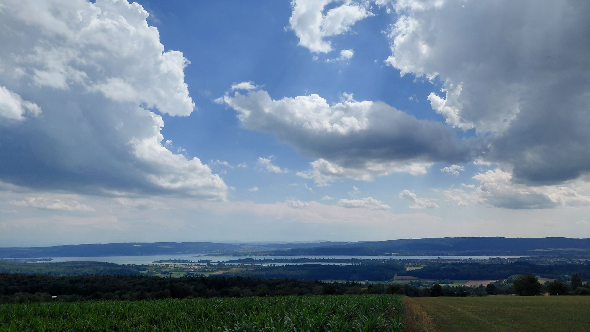
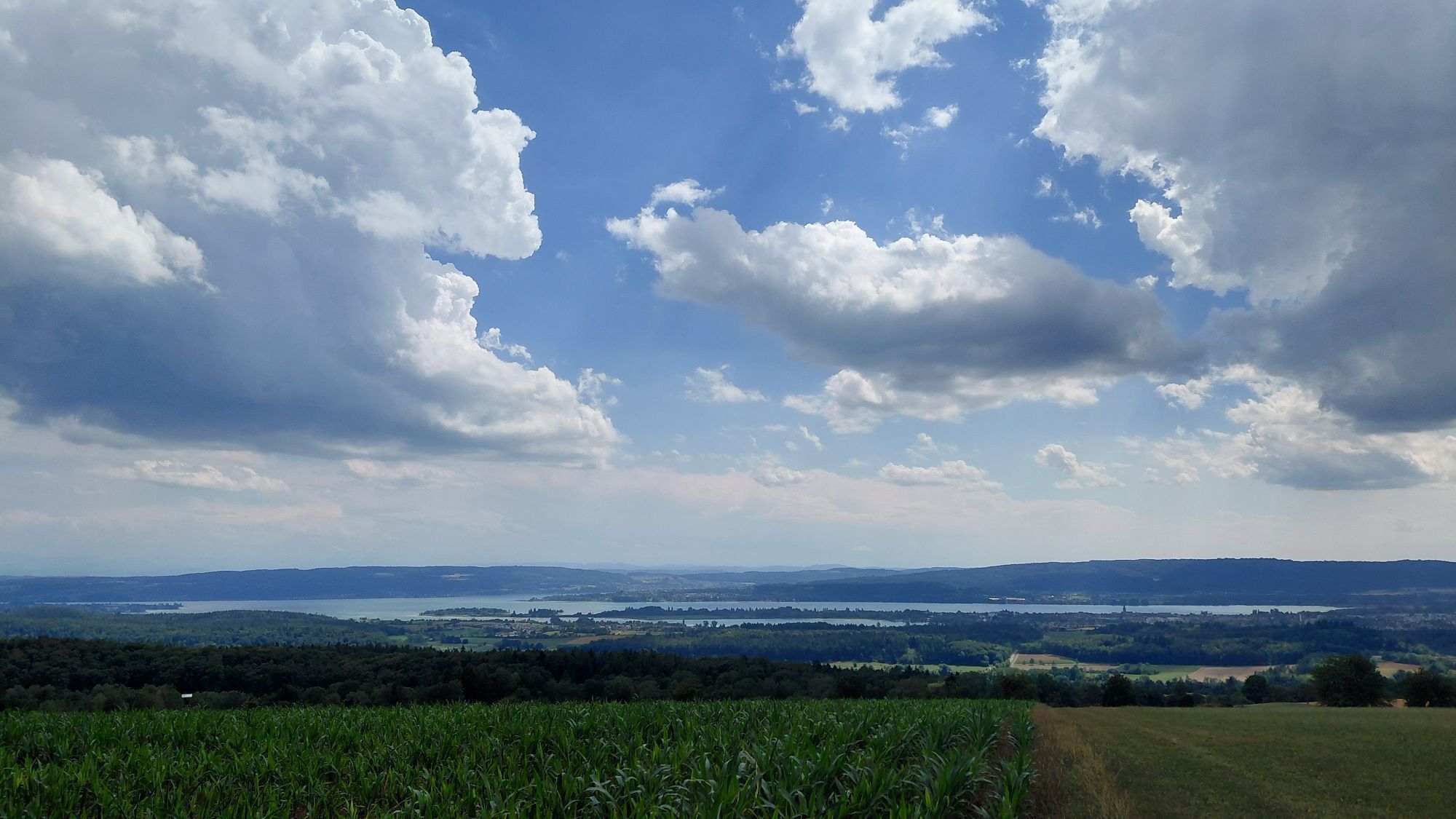
The varied hike leads from Liggeringen initially to the scenic Mühlsberg. Further viewpoints follow on the return route from Güttingen back to Liggeringen. Do not miss the Vogelherd Hill near the Sonnhof, from where there is a panoramic view over the Mindelsee, the Lower Lake with Radolfzell and the Mettnau peninsula, Güttingen and the Hegau mountains, with good visibility even to the Alps. In between, you pass forests with idyllic streams, orchards, and fields as well as the villages of Güttingen and Liggeringen with interesting churches and several places to stop for refreshments.

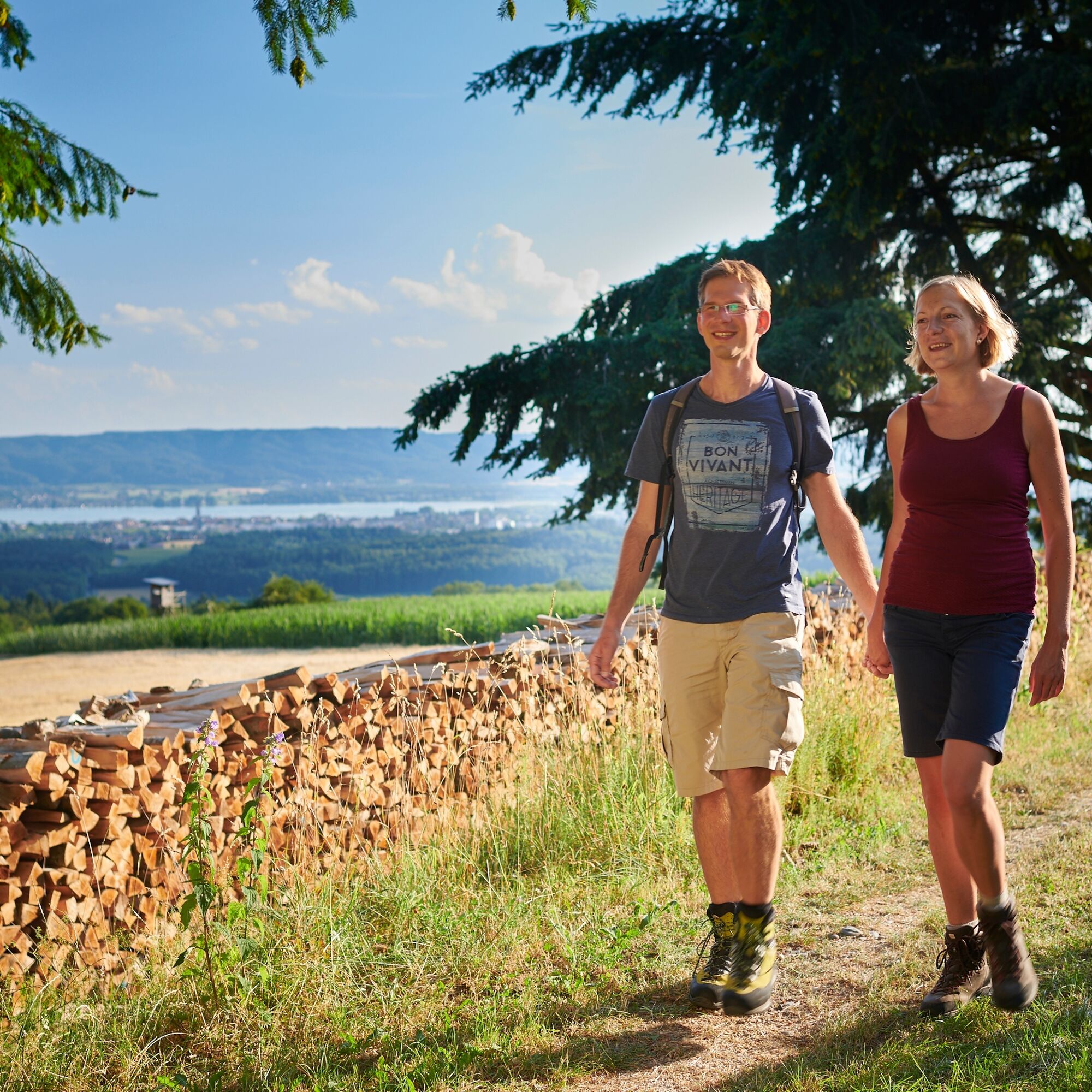
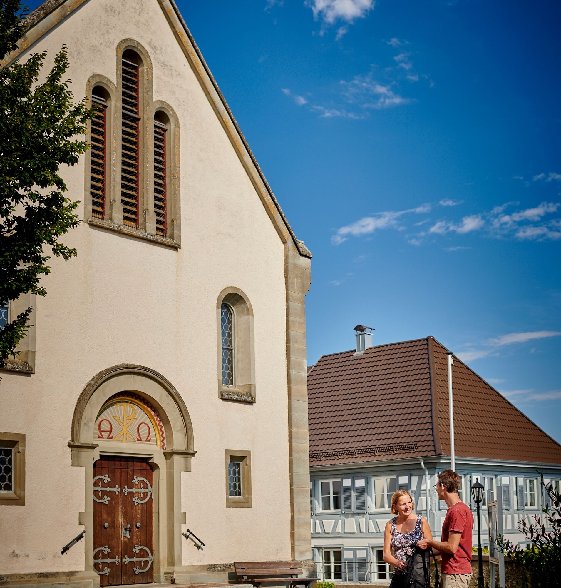
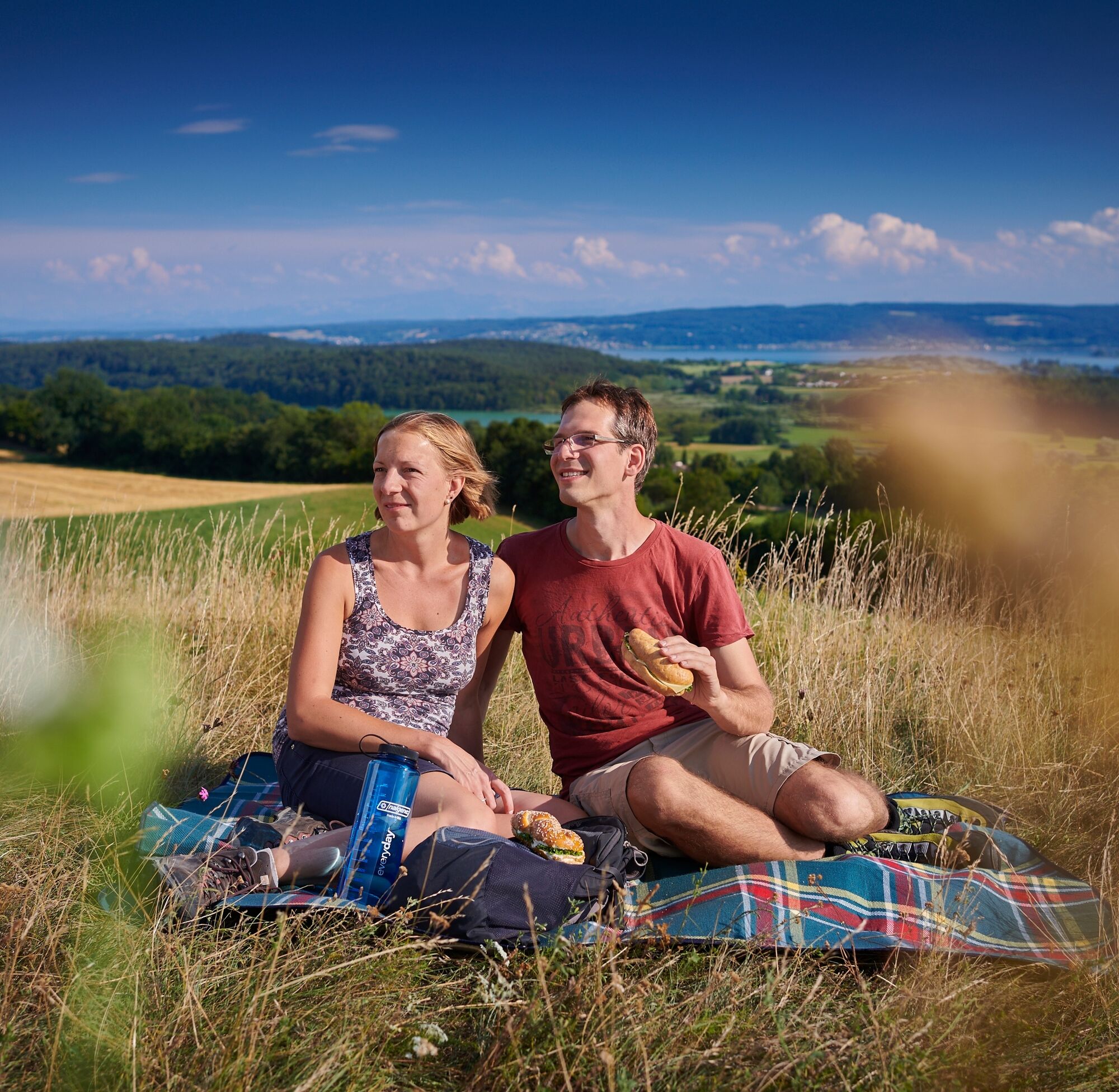
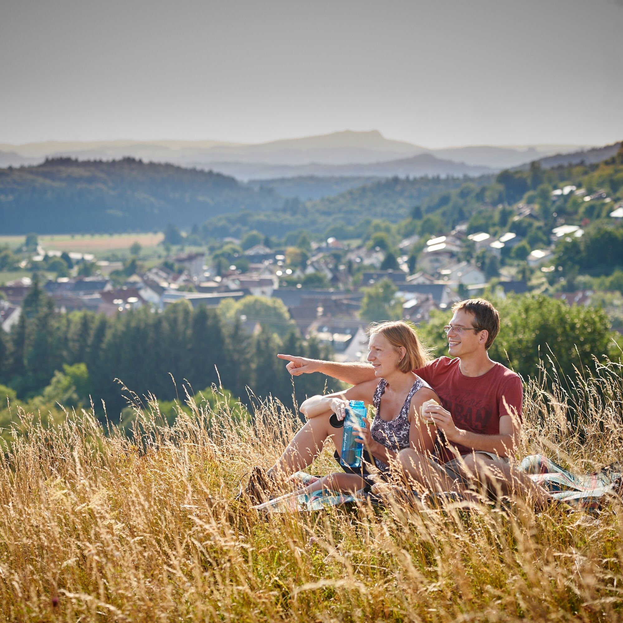
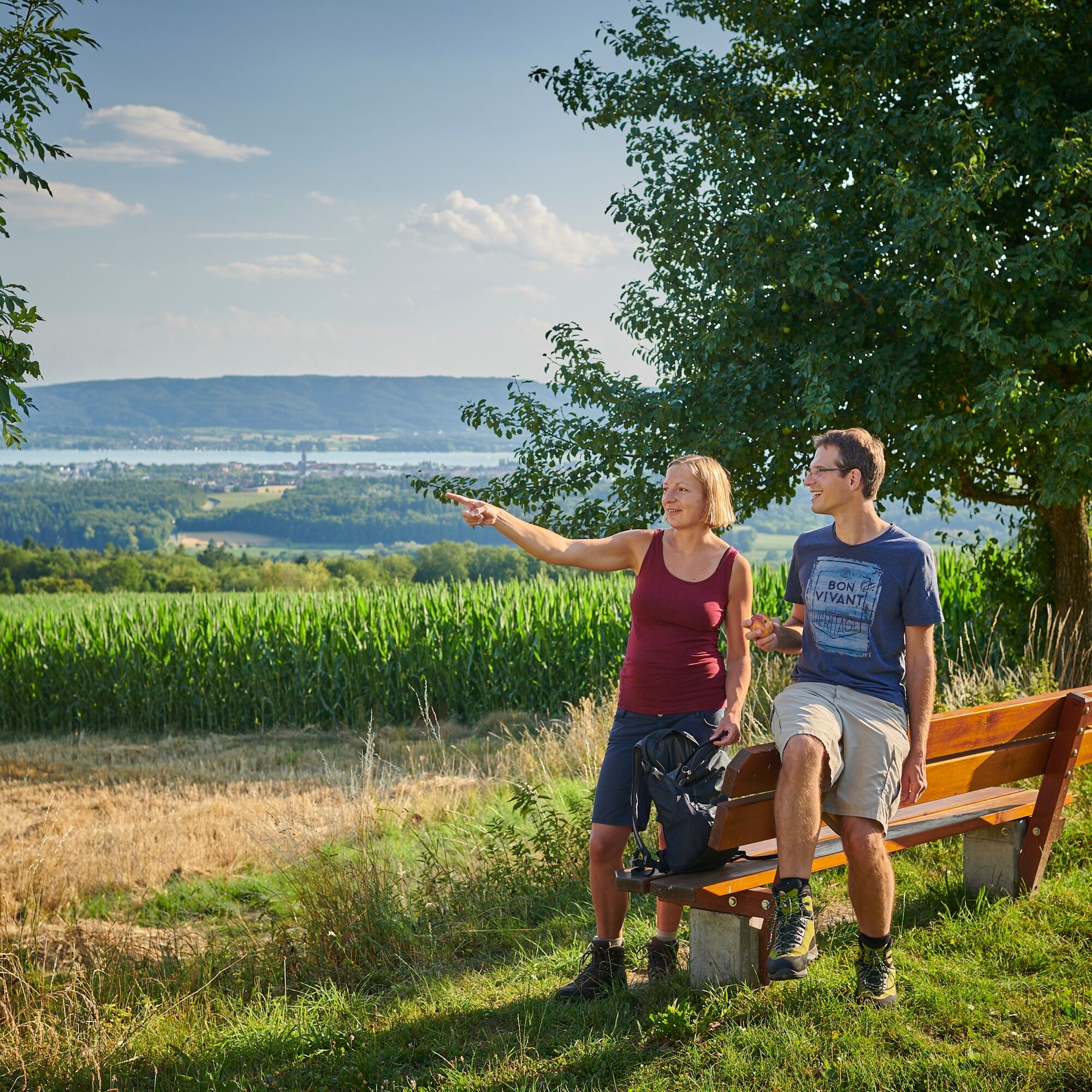
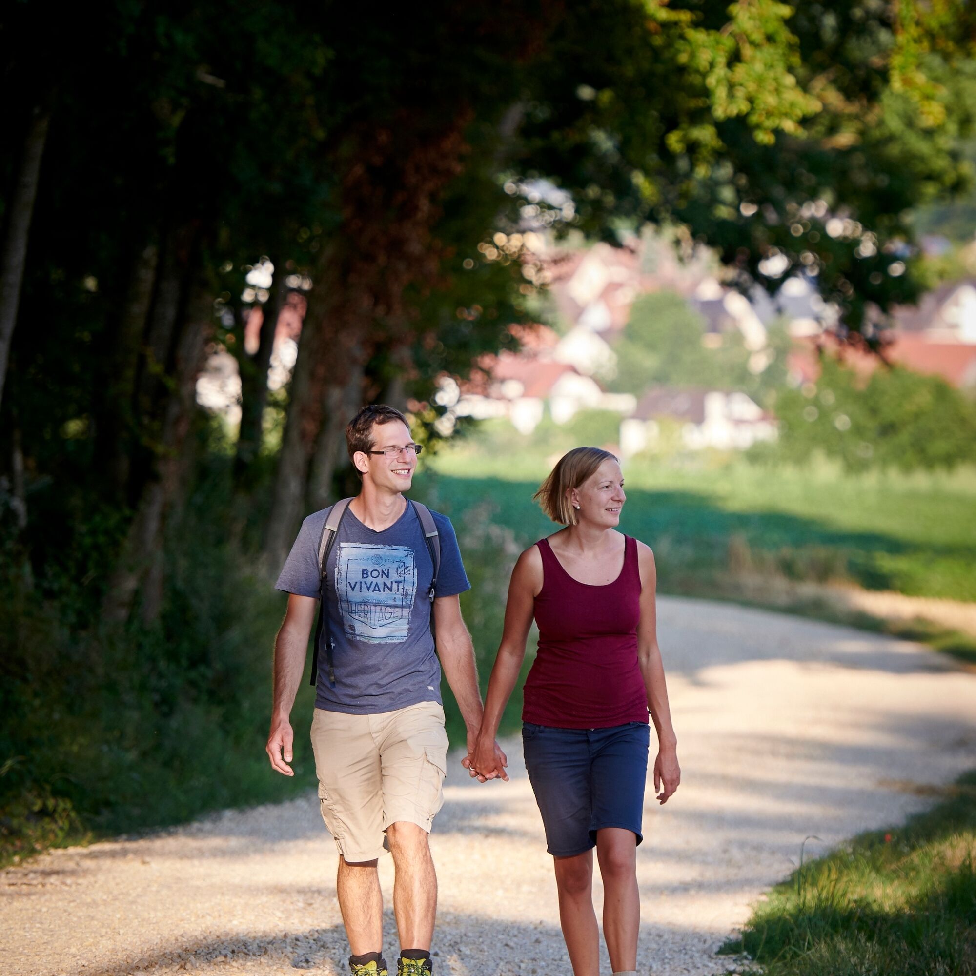
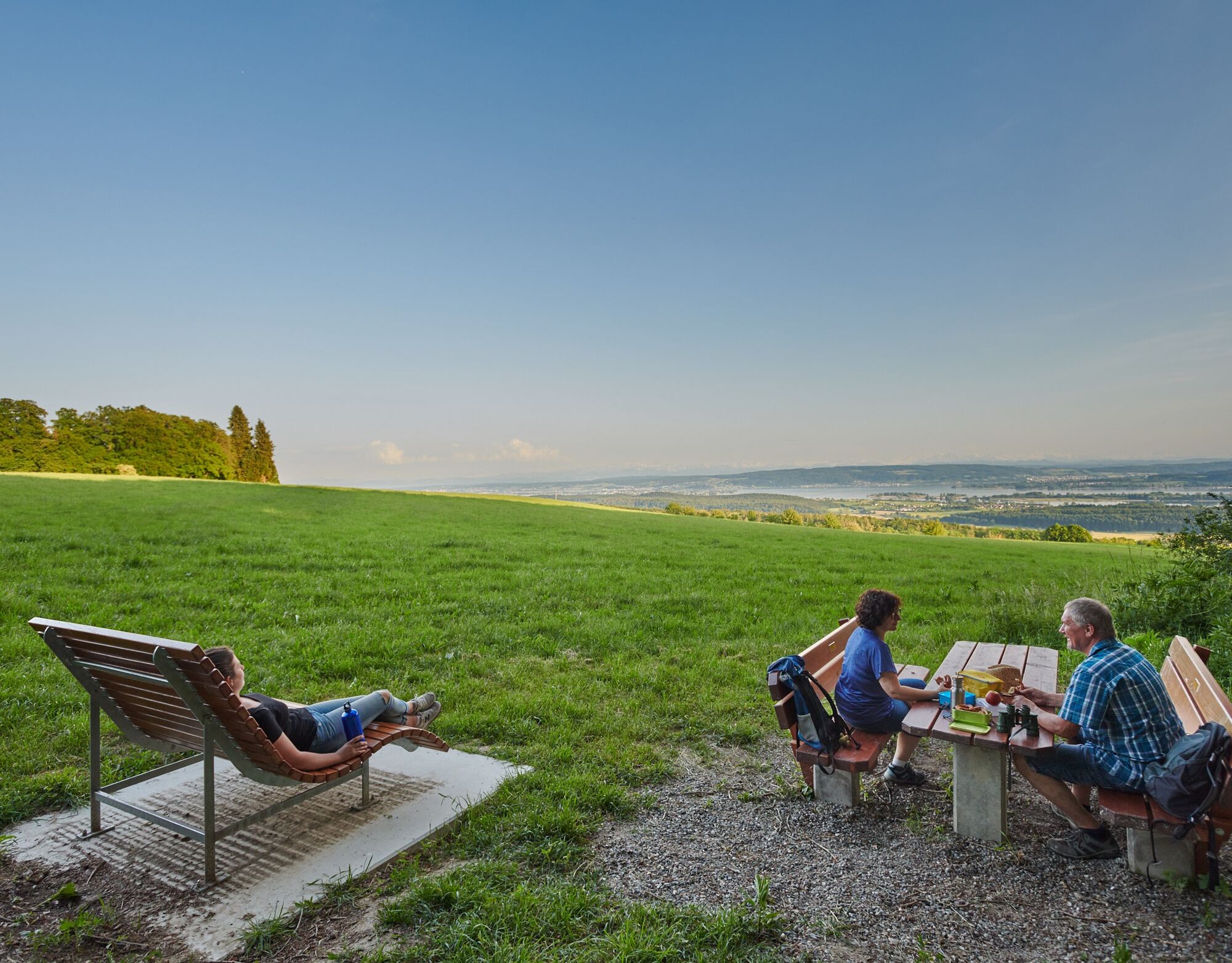
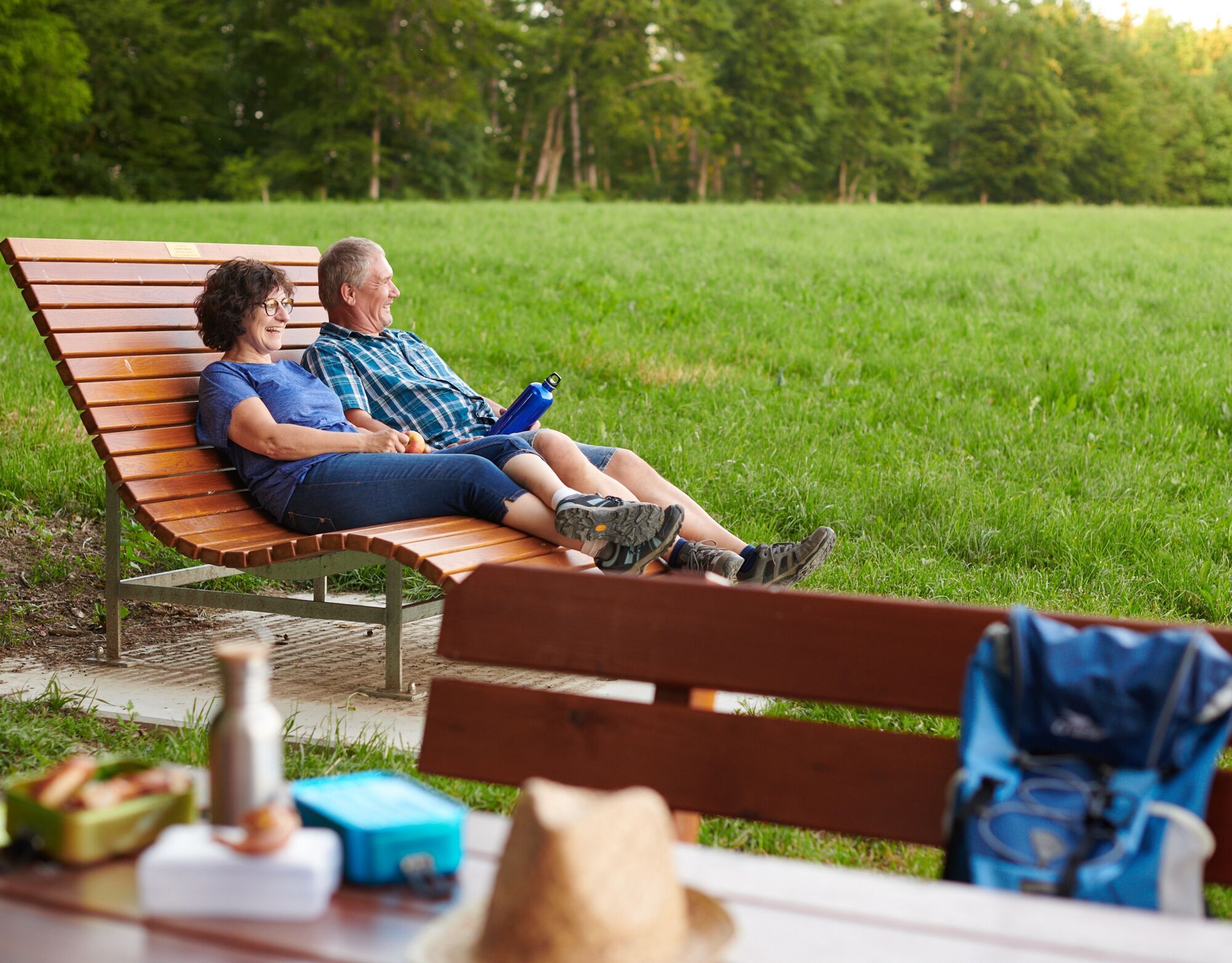

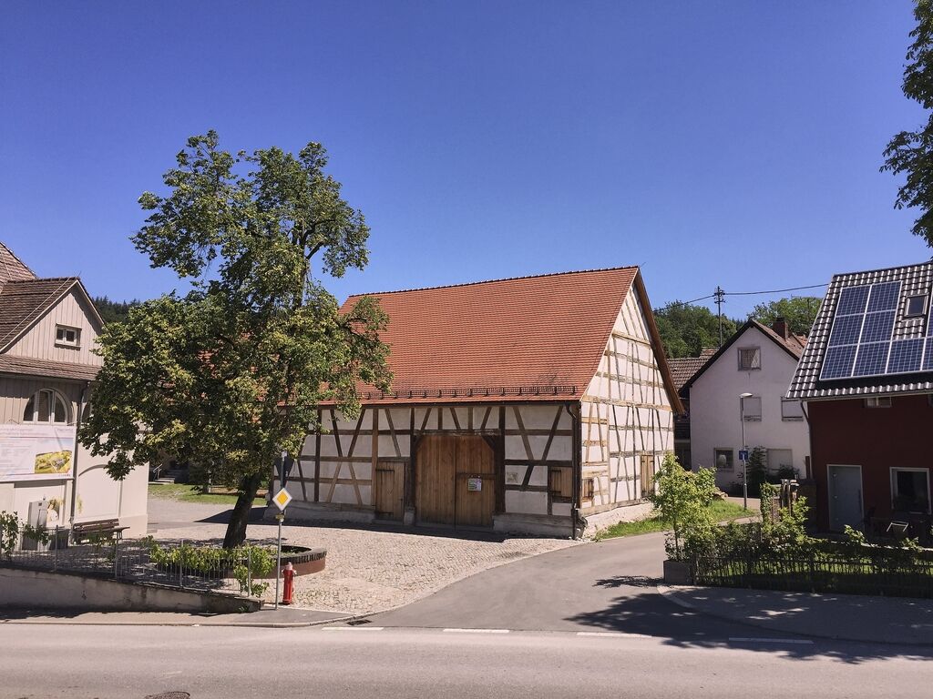
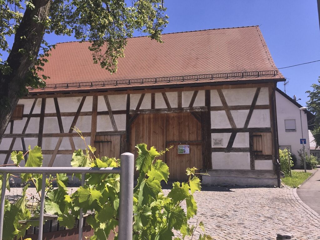
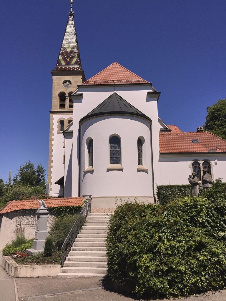
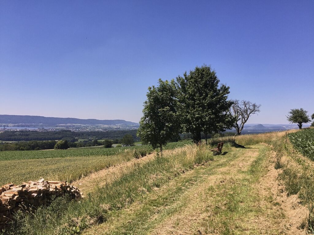

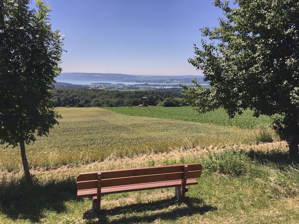

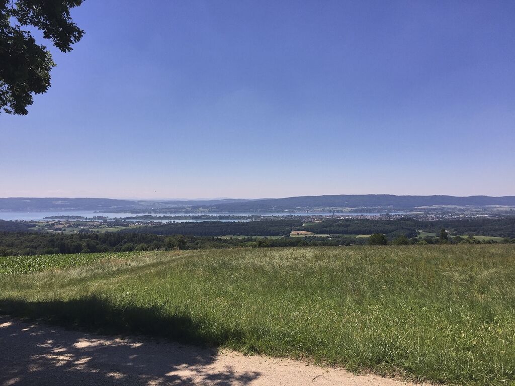

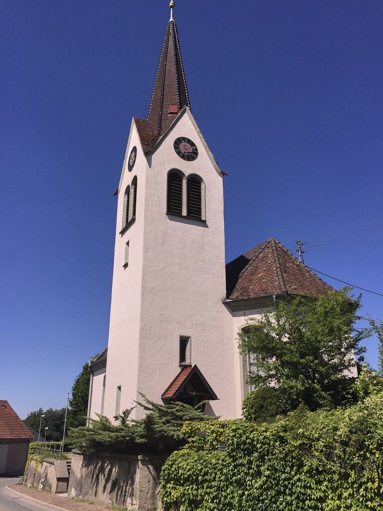
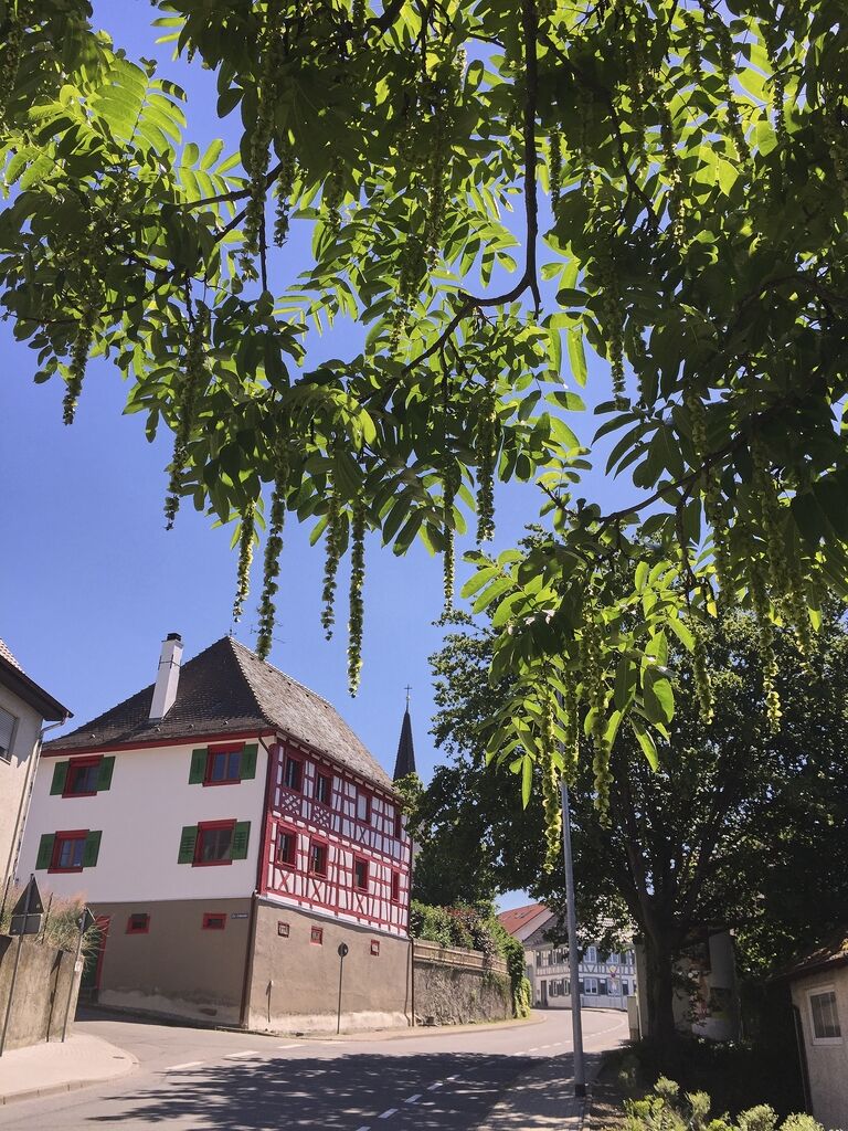
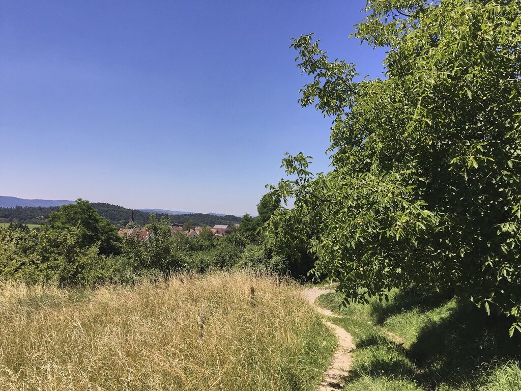
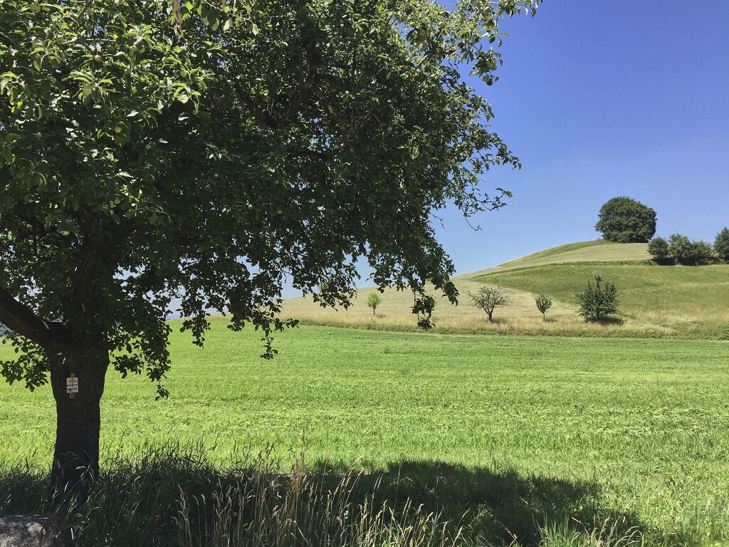


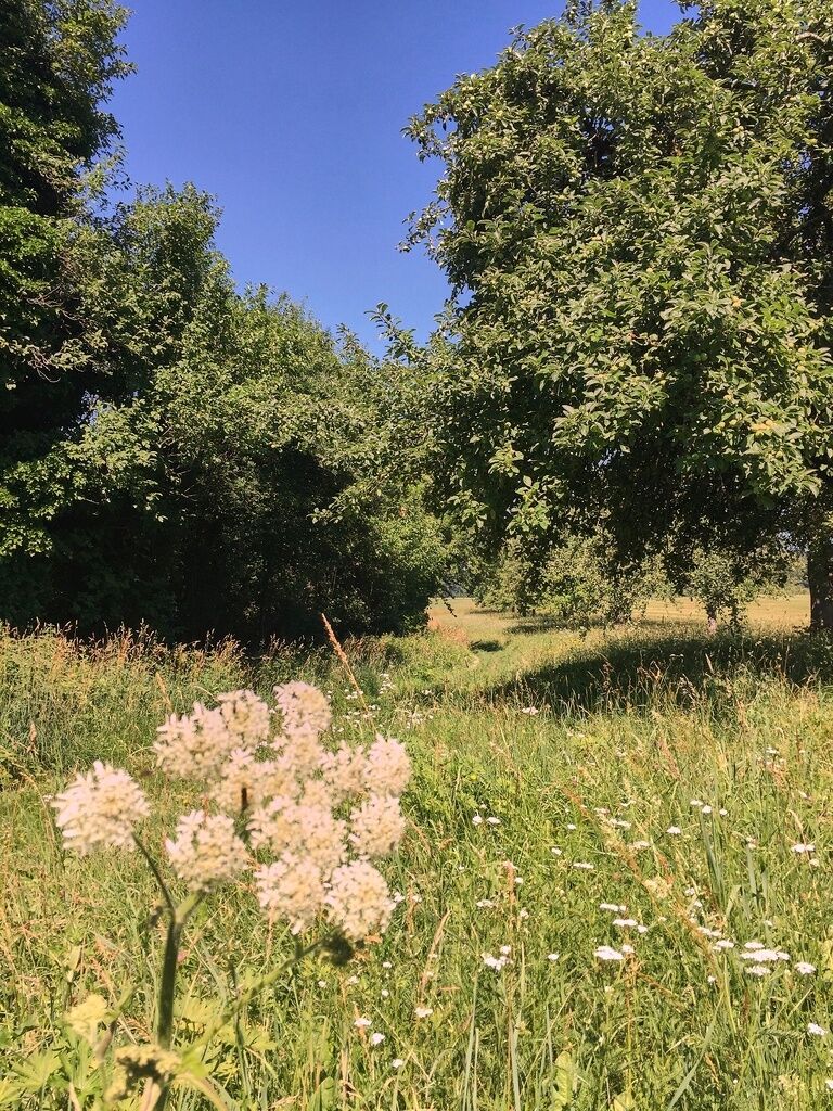
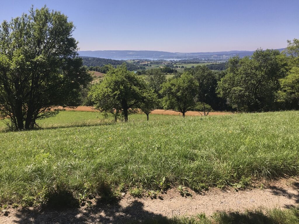

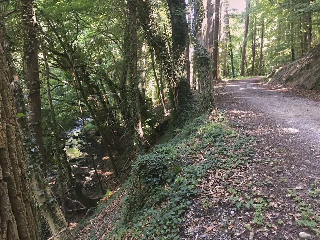
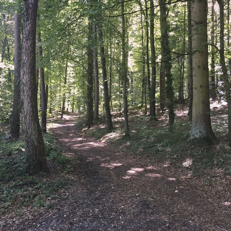

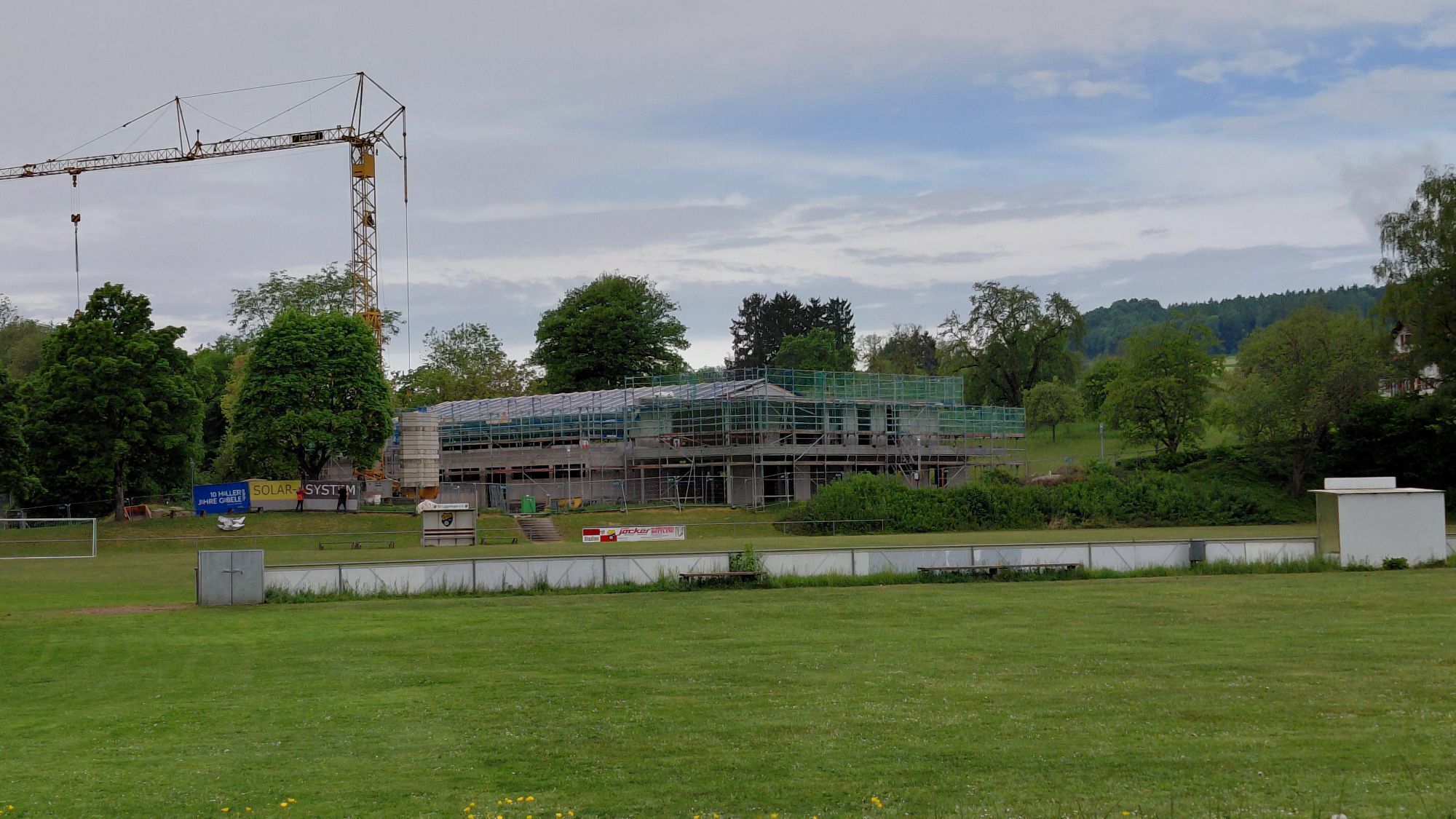
From the parking lot at the Litzelhardhalle in Liggeringen, it first goes through the village and then continues along a field path past the cemetery. The path now steadily climbs and repeatedly offers wide panoramic views over the region. Through the forest, it then goes downhill towards Güttingen, soon reaching an idyllic forest stream. It continues through Güttingen. At the end of the village, the path turns left and leads along meadows towards Sonnenhof. A detour to the Vogelherd Hill is highly recommended here, as it opens up an almost 360° panorama of the surroundings. From here, a scenic path again leads along the edge of the forest towards Liggeringen. At the sports field, the path turns right across the meadow and goes through a small woodland. Now the main road must be crossed. Along another forest stream, the path gently climbs back to the starting point.
Good footwear is recommended.
By train to Radolfzell central bus station (ZOB), from here by city bus line 6 to Liggeringen village centre or Güttingen village square.
Litzelhardthalle Liggeringen parking lot
At the farm shop of the Sonnhof you can quench your thirst with farm-produced apple juice.

Webové kamery z prohlídky
Získejte přehled
Vždy živě na místě s více než 9 500 webkamerami. bergfex Jako uživatel Pro si nyní můžete zobrazit odpovídající webové kamery pro mnoho prohlídek v aplikaci prohlídky z. Můžete si tak přímo prohlédnout aktuální podmínky.
Oblíbené prohlídky v okolí
-
5.0
Mindelsee-Runde
světloTuristika 7.83 km -
3.2
Bodenseeradweg
Jízda na kole 210.8 km -
4.0
Around the island of Reichenau
světloTuristika 10.9 km -
5.0
Hike on the panorama route of the Höri Peninsula
středníTuristika 8.11 km -
4.0
Bodanrück-Runde
heavyTuristika 8.36 km -
4.0
Circular hike Gaienhofen-Middle Höri
středníTuristika 12.6 km -
5.0
Überlingen, Baden-Württemberg
světloTuristika 9.12 km -
4.0
Rundwanderung Liggeringen - Bodman
středníTuristika 13.0 km -
3.7
Firstweg Langenmos
středníTuristika 5.76 km -
5.0
Natur & Kultur - Rundtour entlang des Überlinger Sees
světloJízda na kole 32.7 km
Pěší turistika a stopování


Nenechte si ujít nabídky a inspiraci pro vaši příští dovolenou
Vaše e-mailová adresa byl přidán do poštovního seznamu.





