







German Half-Timbered Road: Pfullendorf – Meersburg
Úroveň obtížnosti: 1
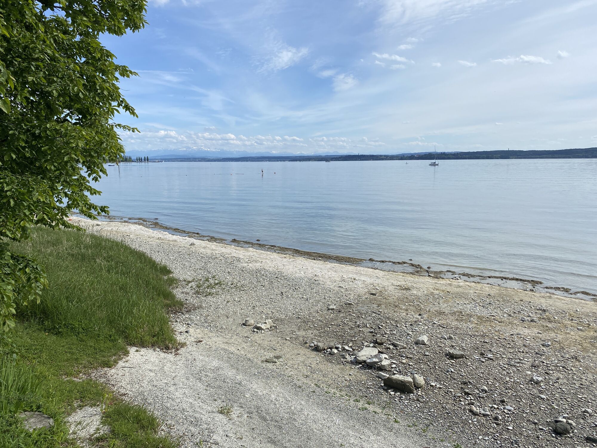
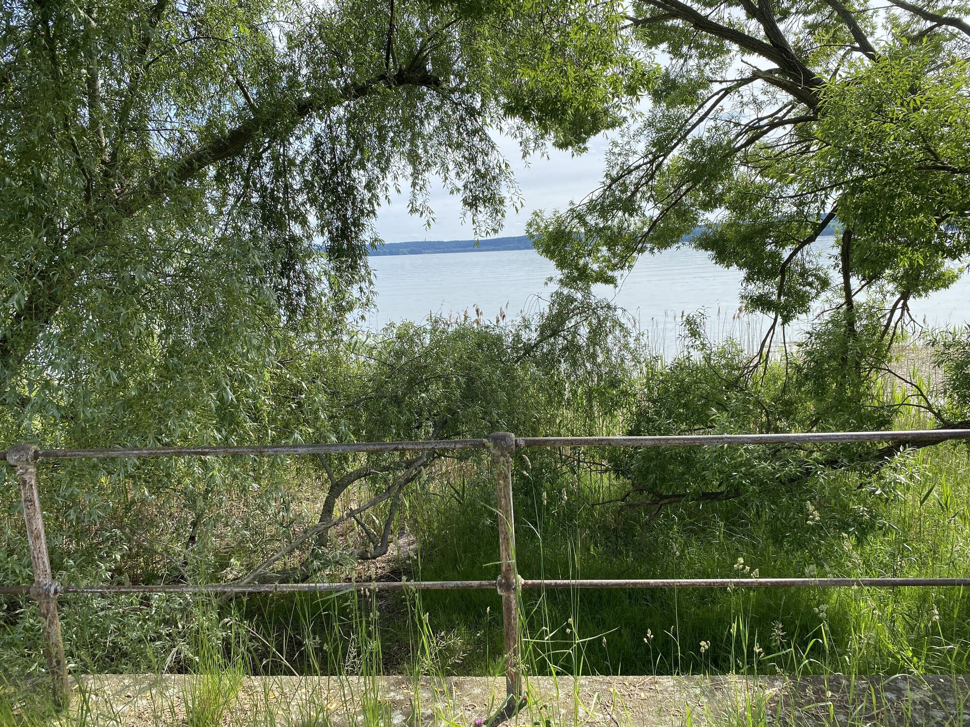
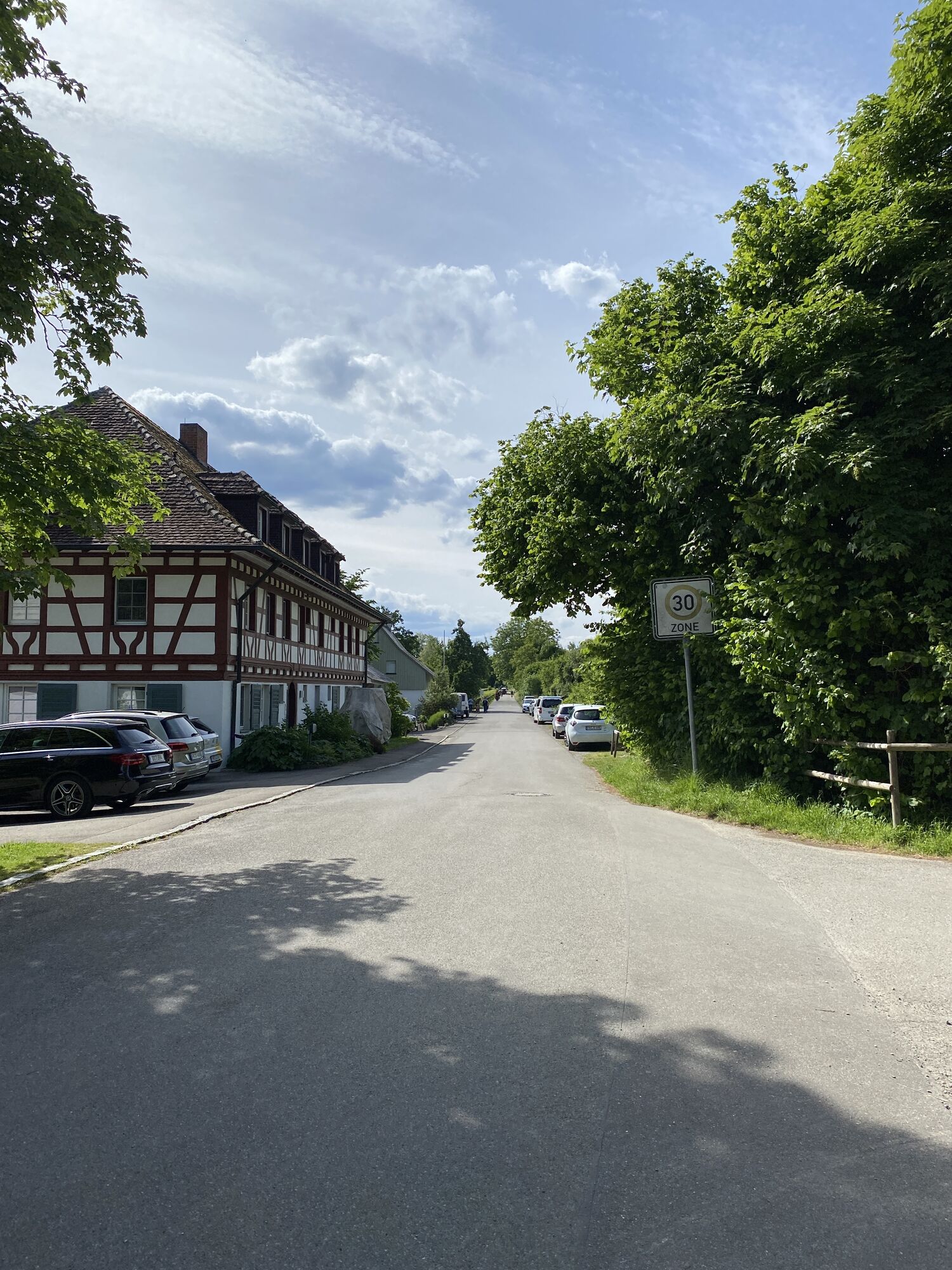
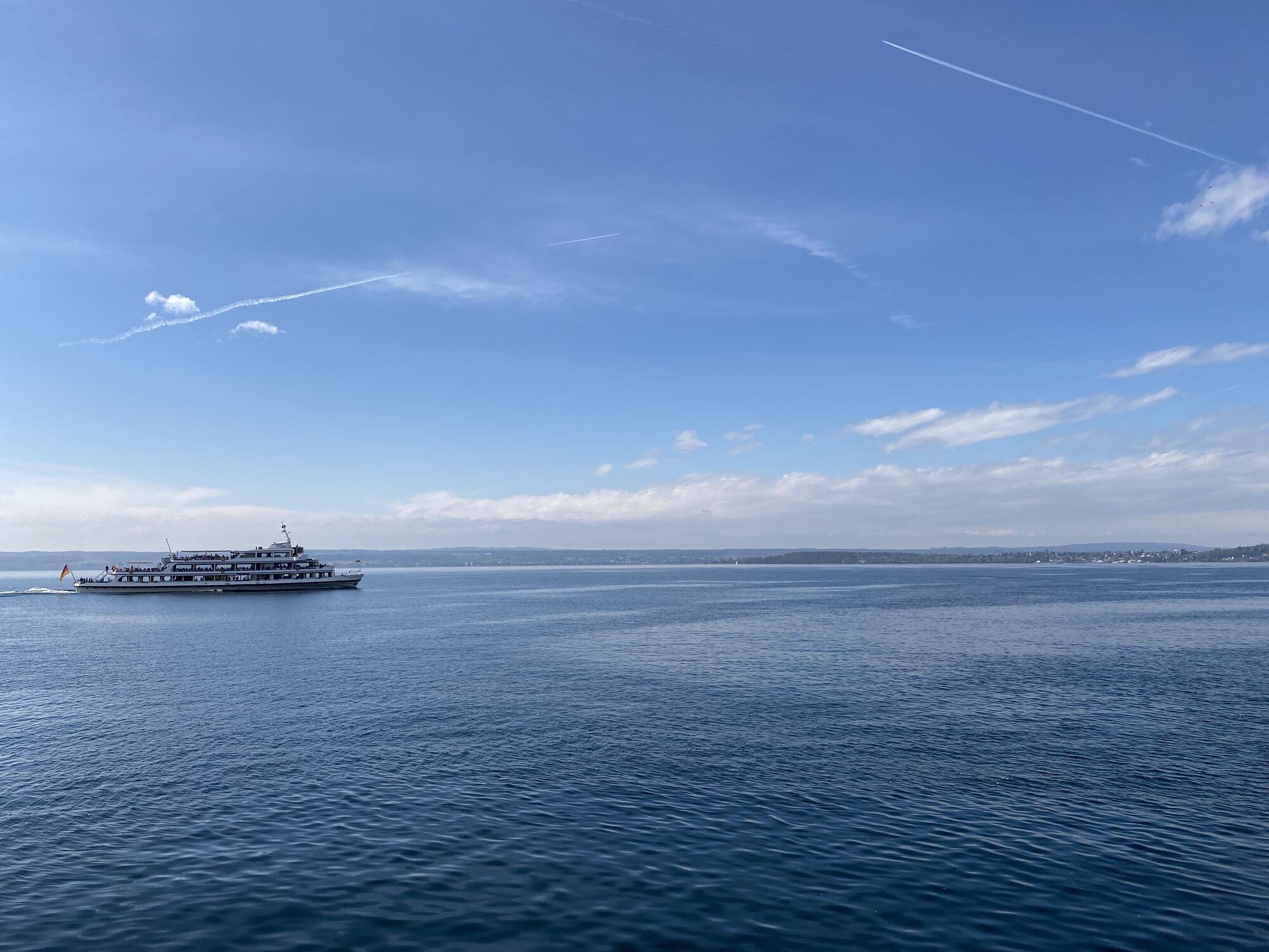
As soon as we leave the half-timbered gem of Pfullendorf, we encounter lush greenery. The vastness of the surroundings fascinates with the Ice Age end moraine landscape with its gentle hills descending...
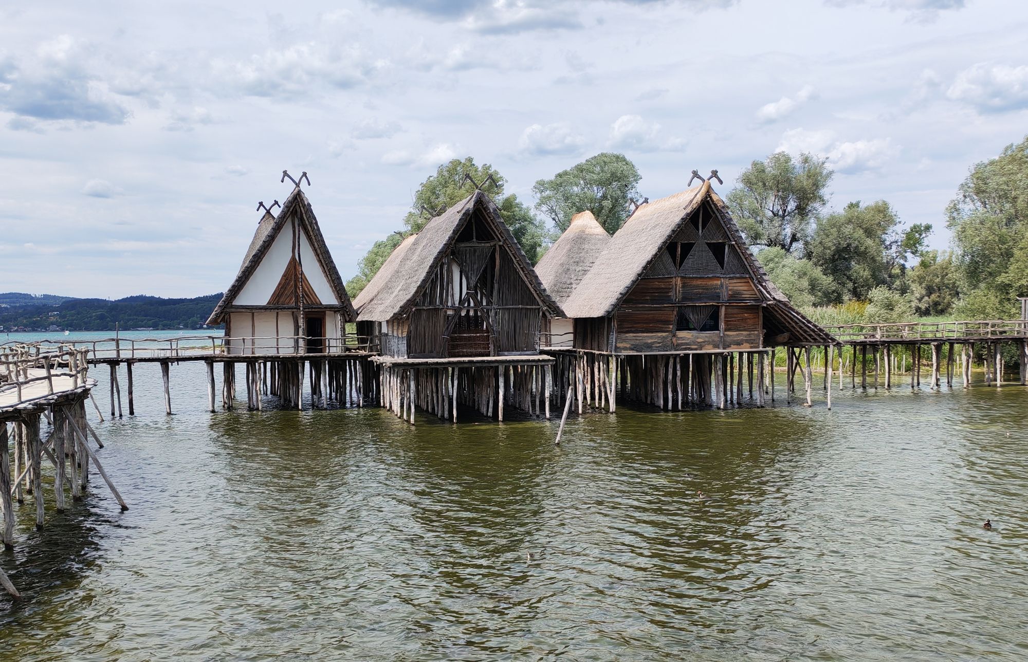
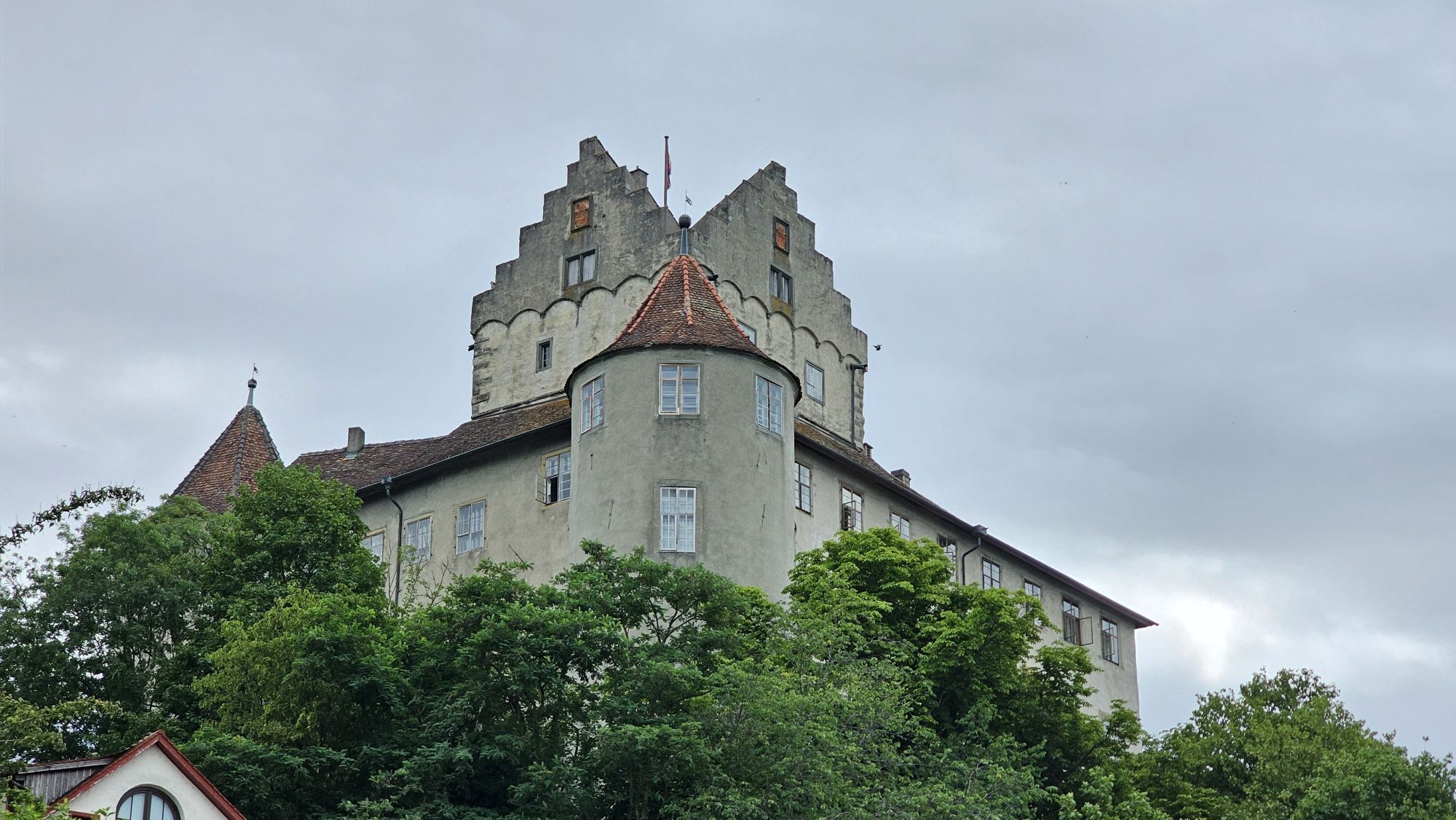
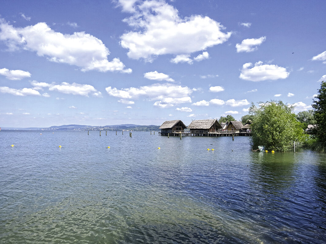
As soon as we leave the half-timbered gem of Pfullendorf, we encounter lush greenery. The vastness of the surroundings fascinates with the Ice Age end moraine landscape with its gentle hills descending towards the lake. A unique cultural landscape that already showed first settlement structures in the early Mesolithic. The famous pile dwellings directly on the route in Uhldingen still impressively demonstrate life by the lake in the Bronze Age – a visit is worthwhile! The Celts, the Romans, and finally the Alemanni followed, whose language can still be glimpsed today in some old dialects of the region. The popularity of the region can be seen, felt, and experienced – the mild climate of the lake reveals itself in an almost Mediterranean flair, e.g., on the lake promenade in Überlingen or further east in the impressive town of Meersburg with the mighty castle complex and the palace with breathtaking views over the lake to the impressive mountain massif of the Swiss Alps.
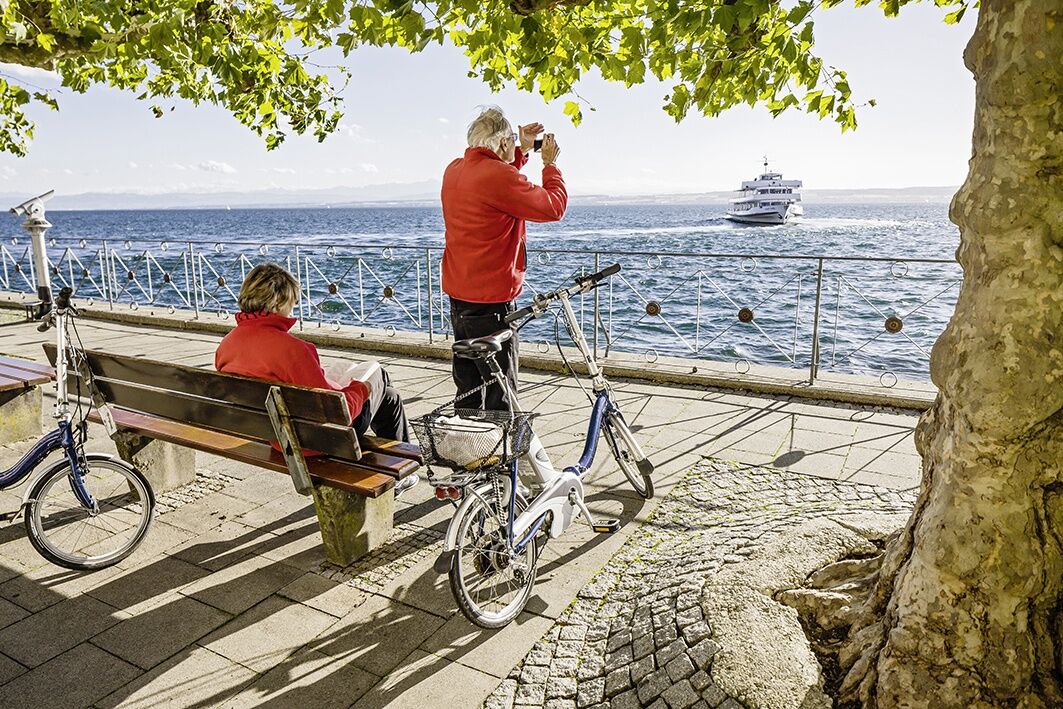
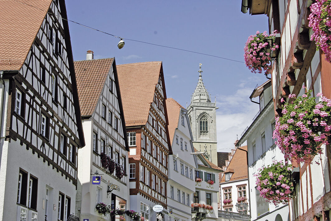
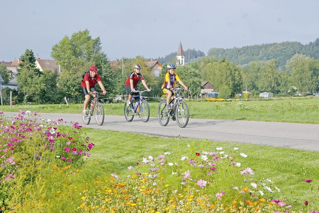
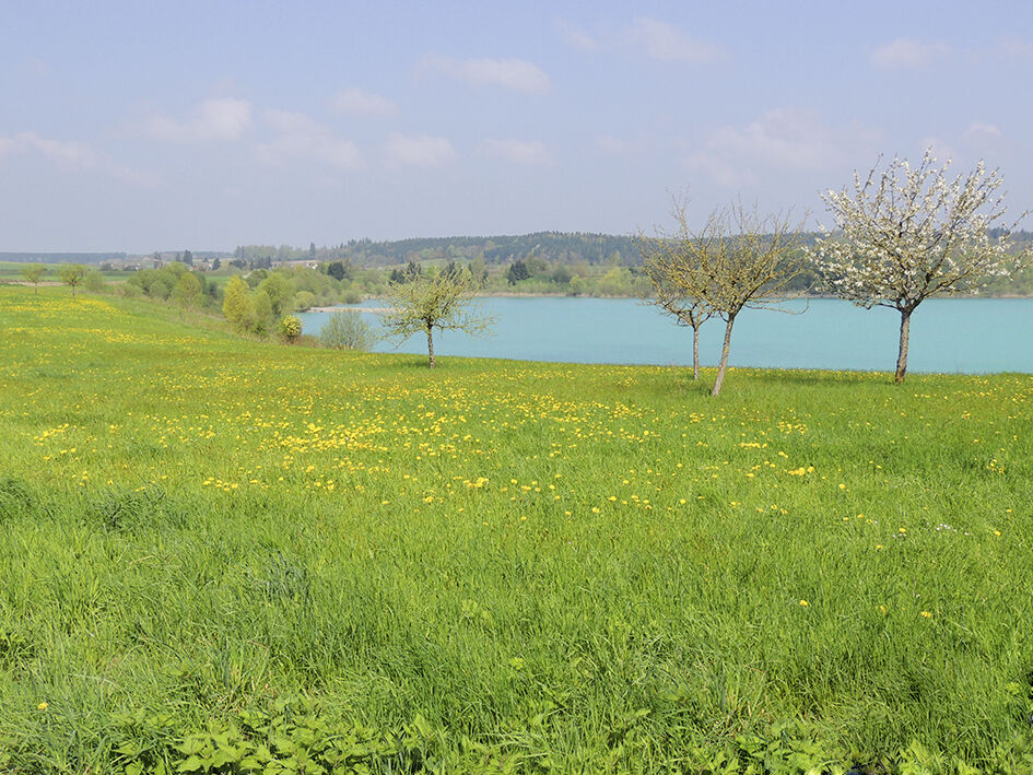
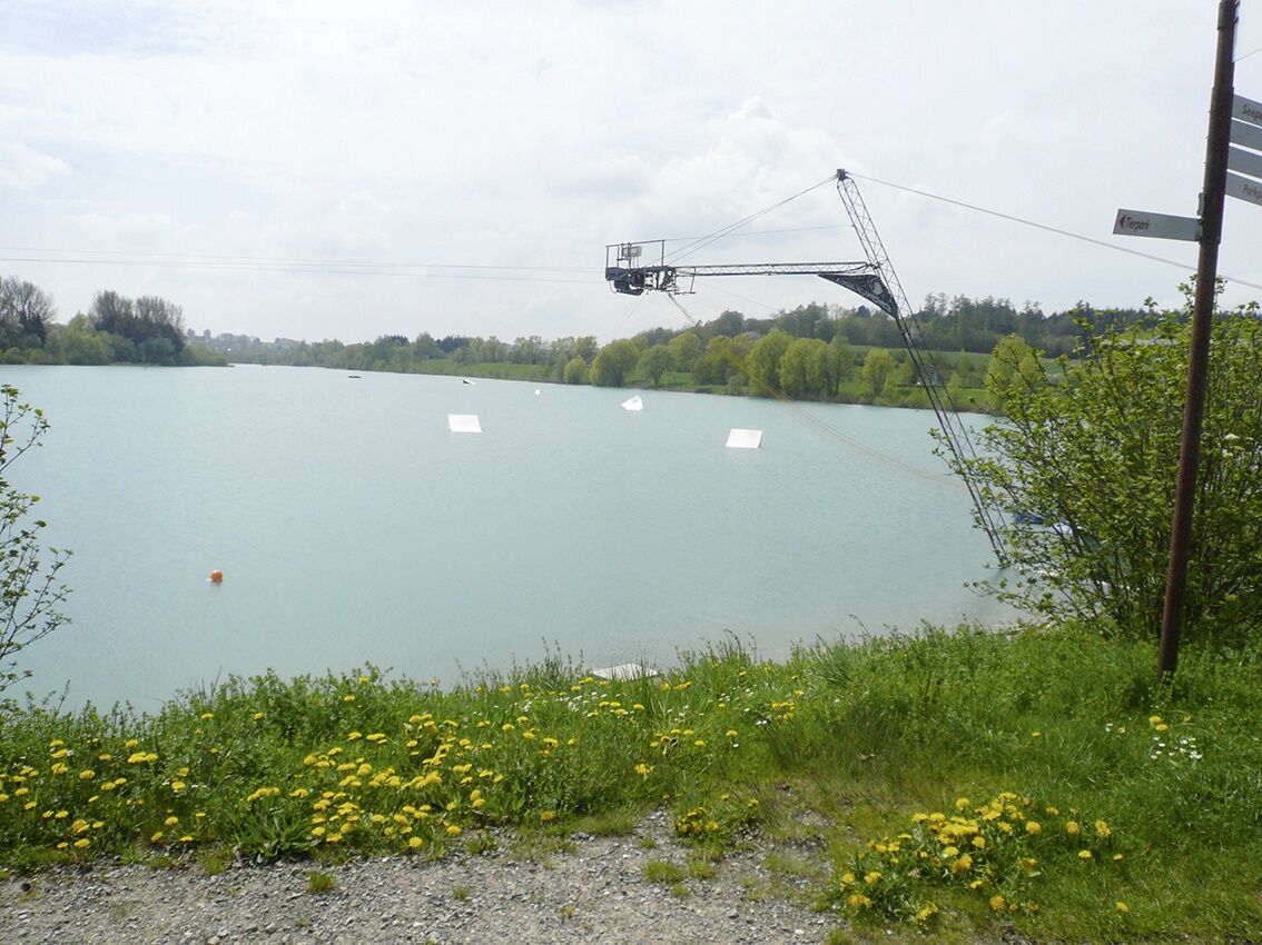
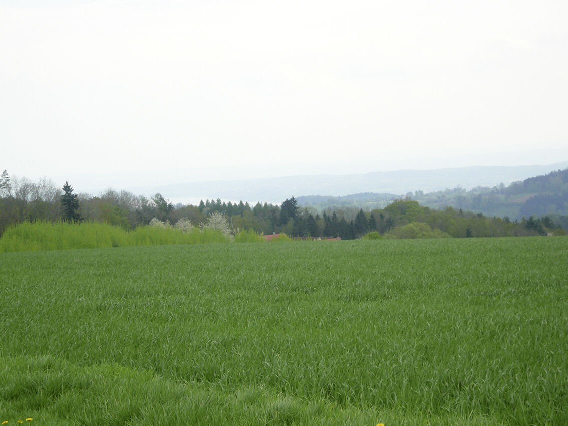
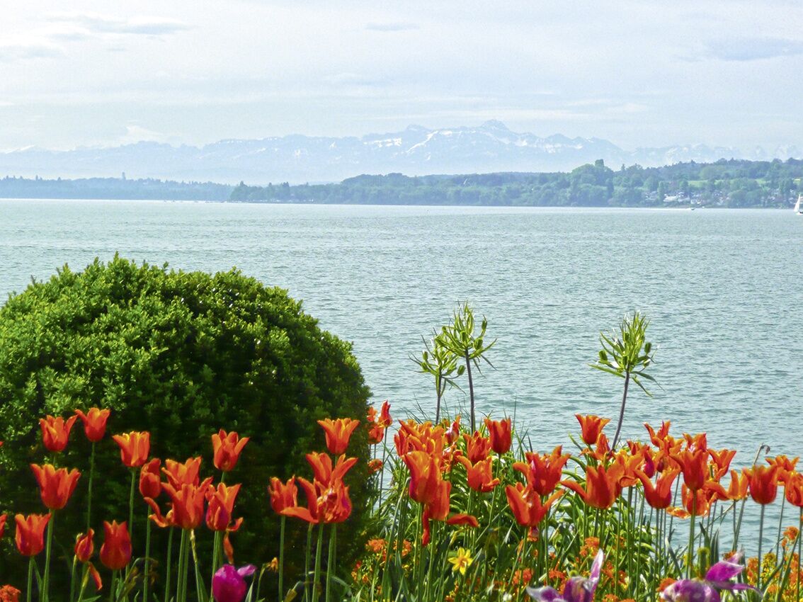
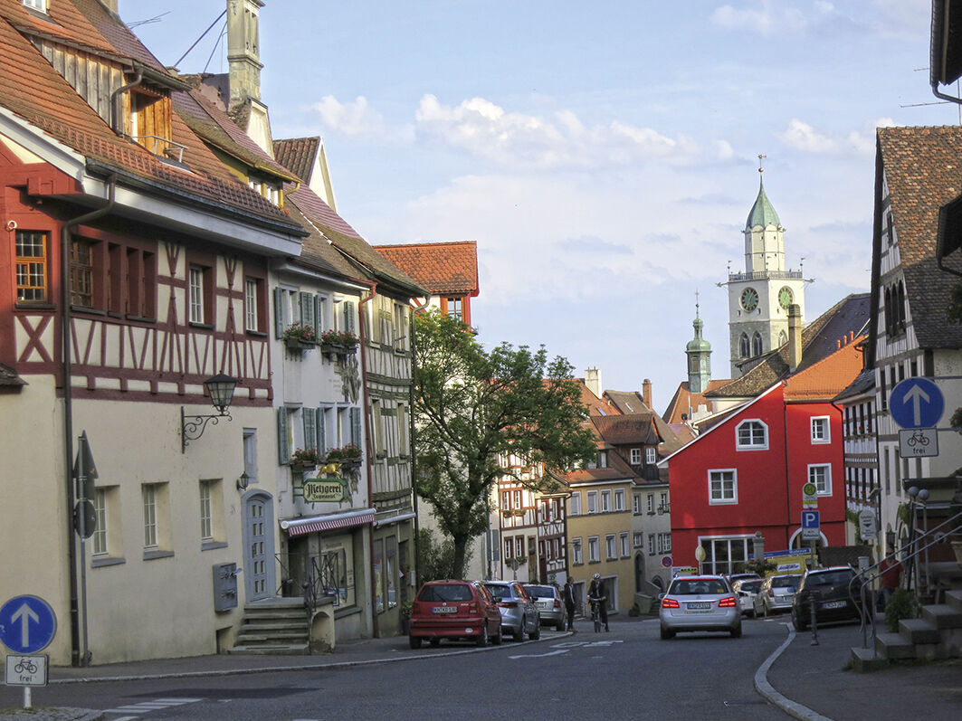
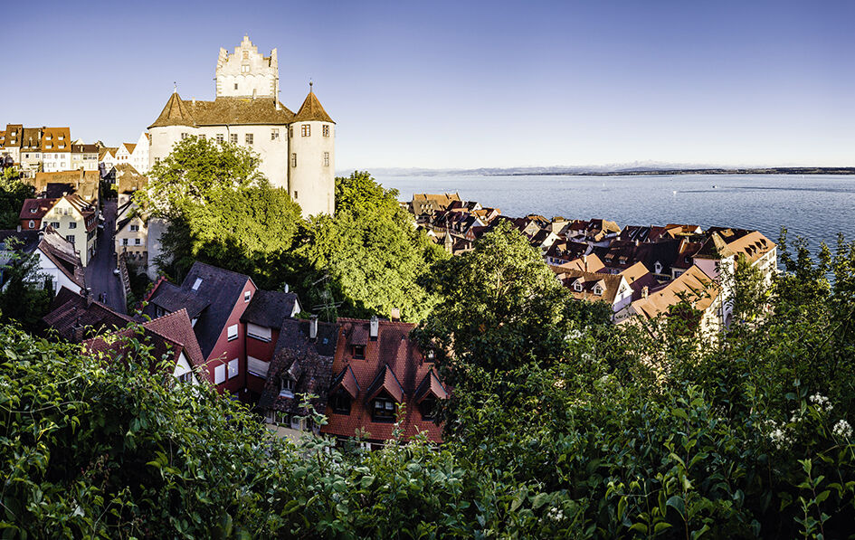
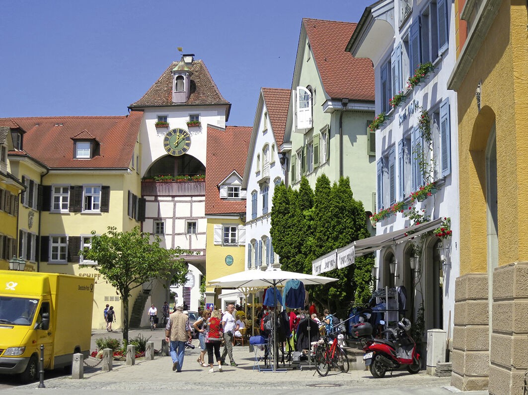
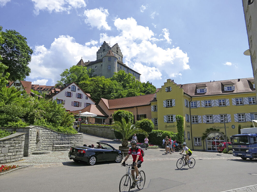

We begin the southernmost section of the German Half-Timbered Road in the idyllic town of Pfullendorf with its many small shops and narrow streets. About 5 kilometers beyond Pfullendorf, we reach the twin community of Aach-Linz. Away from the major traffic flows, the route leads on a beautiful section to Herdwangen. After Waldsteig, shortly before reaching the village of Herdertsweiler, the horizon opens up for the first breathtaking view of Lake Constance.
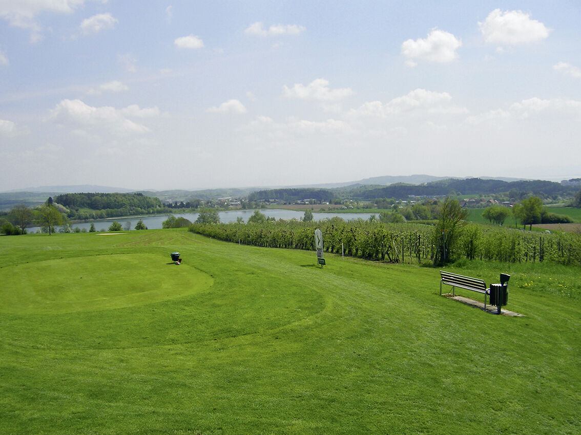
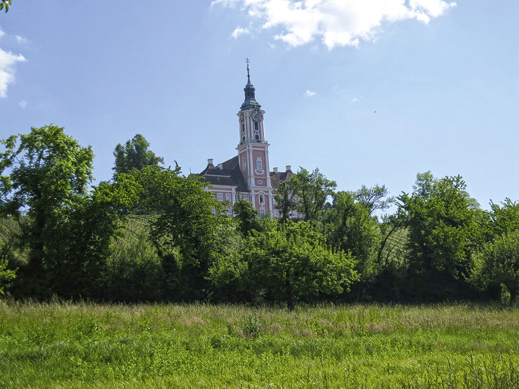
The cycle path climbs a bit steeper as it passes through the well-maintained golf course. From here, the path descends steeply to Überlingen. In the former free imperial city, you should not miss a detour to the charming lakeside promenade. It continues towards Birnau Monastery. From the baroque pilgrimage church, you have a splendid view over the lake directly to Mainau Island. Via varied paths, we reach the shore of Lake Constance and soon arrive at our destination.
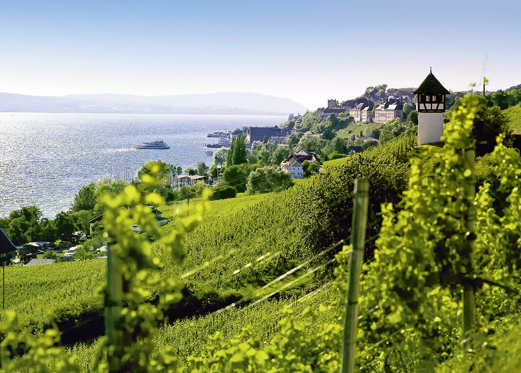
Around Meersburg, the route leads partly through magnificent vineyards. Our stage destination rewards with its unique medieval atmosphere, its timber-framed lanes, and especially the mighty castle and palace.
Bike helmet, repair kit, cycling gloves, sun protection, provisions, and drinking water
A81/A98 Stuttgart - Singen, exit Stockach-Ost
A96 Munich - Lindau, exit Wangen/Ravensburg
From Ulm via the B30
By train to Mengen, Sigmaringen, or Stockach, then by bus to Pfullendorf
In public parking lots in the city area, e.g., Stadtmitte parking garage or Stadtgarten parking lot
1
The wine that ripens on the slopes toward Lake Constance is legendary and represents centuries of winemaking tradition.
Získejte přehled
Vždy živě na místě s více než 9 500 webkamerami. bergfex Jako uživatel Pro si nyní můžete zobrazit odpovídající webové kamery pro mnoho prohlídek v aplikaci prohlídky z. Můžete si tak přímo prohlédnout aktuální podmínky.
Oblíbené prohlídky v okolí
-
4.0
Vom Bahnhof Konstanz entlang des Bodenseeufers zur Insel Mainau
středníTuristika 10.4 km -
3.2
Bodenseeradweg
Jízda na kole 210.8 km -
5.0
Mindelsee-Runde
světloTuristika 7.83 km -
4.7
Rundwanderung Aachtobel - Hohenbodman
Turistika 7.66 km -
5.0
Bodensee LandGänge "Bermatinger Waldwiesen"
světloTuristika 9.20 km -
4.0
Bodanrück-Runde
heavyTuristika 8.36 km -
4.5
Mühlsberg route
středníTuristika 8.67 km -
5.0
Überlingen, Baden-Württemberg
světloTuristika 9.12 km -
4.0
Rundwanderung Liggeringen - Bodman
středníTuristika 13.0 km -
5.0
Natur & Kultur - Rundtour entlang des Überlinger Sees
světloJízda na kole 32.7 km
Pěší turistika a stopování


Nenechte si ujít nabídky a inspiraci pro vaši příští dovolenou
Vaše e-mailová adresa byl přidán do poštovního seznamu.





