







Hornberg/Lauterbach - Moosenmättle
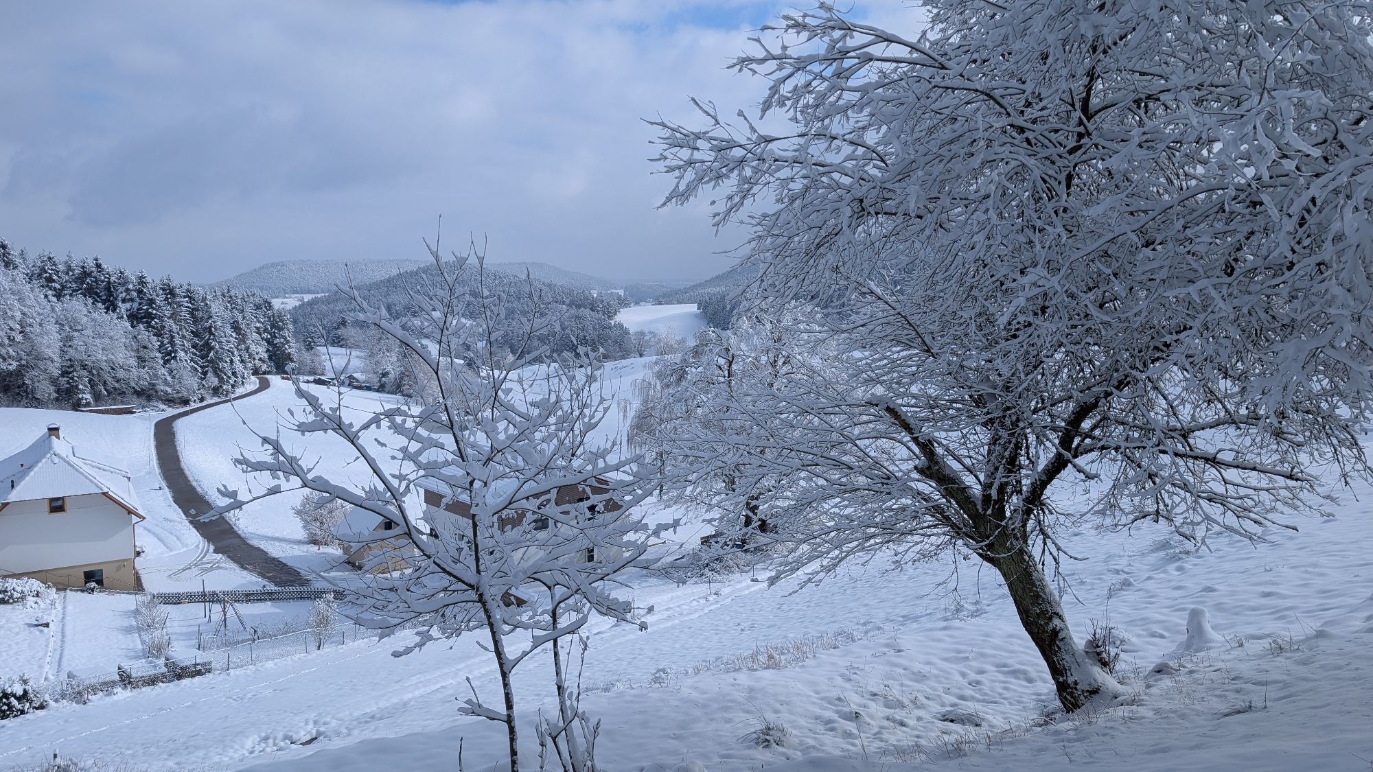
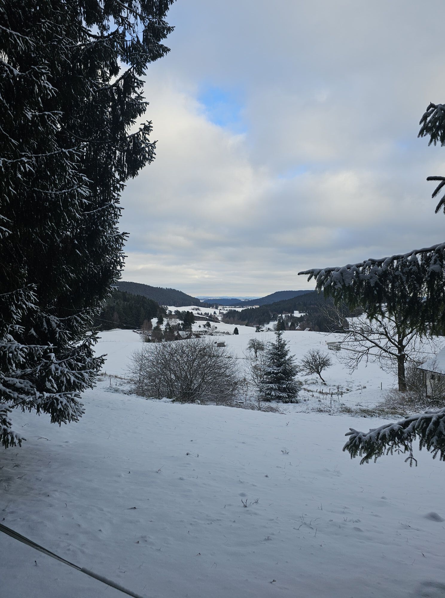
Over Schonedieshof and Mosenberg along the plateau it goes a bit more leisurely to Moosenmättle. Continuing gently uphill over Moosenkapf towards Mooswald in the Sulzbachtal with a short steep ascent to...
Over Schonedieshof and Mosenberg along the plateau it goes a bit more leisurely to Moosenmättle. Continuing gently uphill over Moosenkapf towards Mooswald in the Sulzbachtal with a short steep ascent to Kohlplatz. On the ridge path through the forest it goes to the memorial house and from there back to the starting point.

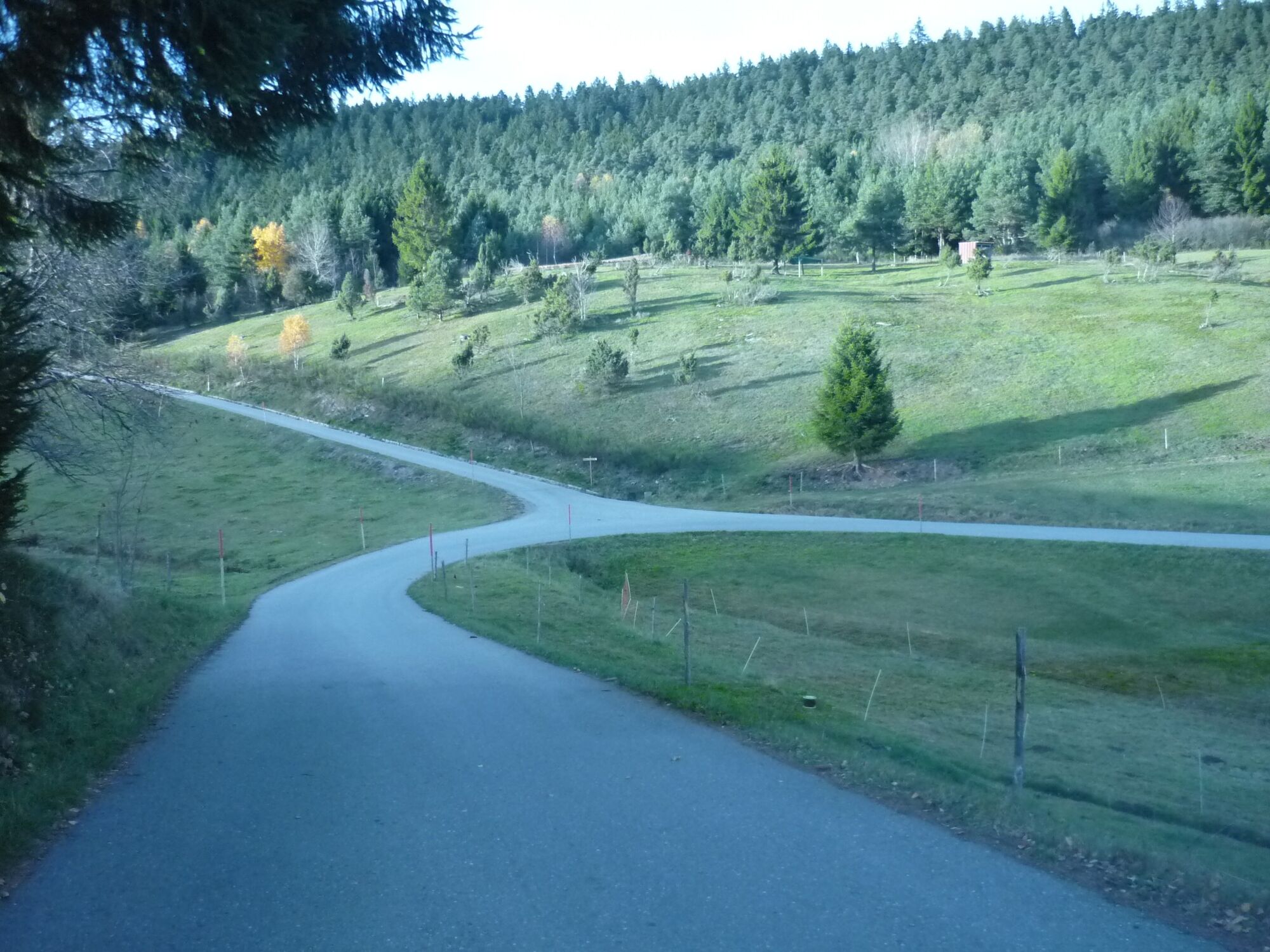

At the Auf der Eck crossroads we reach Kreuzhof via the Fußenwald, which we pass, then continue to Kreuzsattel. Passing Simishansenhof, we follow the road to Moosenmättle. Over Mooswald we come to the memorial house/Mooswaldkopf, where we turn right back to the starting point, the hiking car park Fohrenbühl.
From Lauterbach: Follow the L108 towards Hornberg. At the pass between Gasthaus Adler and Gasthaus Schwanen, turn right, after a few meters the hiking car park is on the right.
Bus stop Gasthaus Adler, about 5 minutes on foot.
Hiking car park Fohrenbühl
Bahnhofstr. 1-3
78132 Hornberg
Tel. 0 78 33 / 793 44
Fax. 0 78 33 / 793 29
tourist-info@hornberg.de
www.hornberg.de
Získejte přehled
Vždy živě na místě s více než 9 500 webkamerami. bergfex Jako uživatel Pro si nyní můžete zobrazit odpovídající webové kamery pro mnoho prohlídek v aplikaci prohlídky z. Můžete si tak přímo prohlédnout aktuální podmínky.
Oblíbené prohlídky v okolí
-
4.8
Ortenau legend circular routes: Devil's Pulpit
středníTuristika 10.2 km -
4.0
Triberger Wasserfälle naar Prizen
středníTuristika 11.5 km -
4.8
AugenBlick-Runde Lauterbach Güntersberg
světloTuristika 10.2 km -
3.0
Lauterbach High Valley Circuit in the hiking paradise Alb - Black Forest
světloTuristika 10.7 km -
4.7
Waldsee circular route to the Urenkopf tower
středníTuristika 7.30 km -
5.0
Wolfach settlers' loop large round
středníTuristika 9.04 km -
Westweg - Westvariante
heavydálková pěší trasa 288.8 km -
5.0
Schiltach: Schenkenburg - Kaibach - Circular route
středníTuristika 12.3 km -
3.5
Circular hike on the Black Forest Railway Experience Trail
středníTuristika 6.56 km -
5.0
Premiumweg Wolfacher Schlossblick
středníTuristika 7.12 km
Pěší turistika a stopování


Nenechte si ujít nabídky a inspiraci pro vaši příští dovolenou
Vaše e-mailová adresa byl přidán do poštovního seznamu.





