


Moorpackung Route - With the mountain bike to Hohlohturm
Úroveň obtížnosti: S0
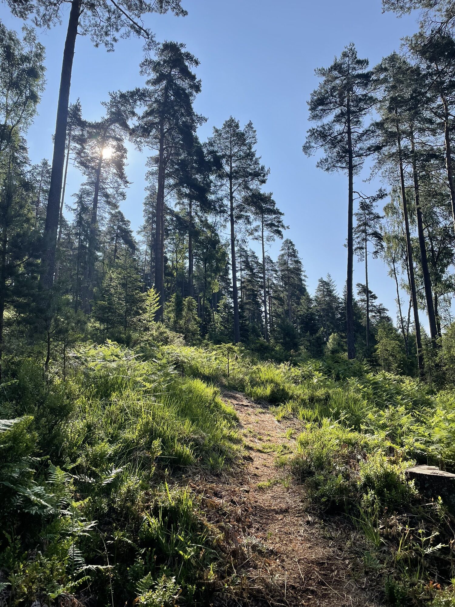
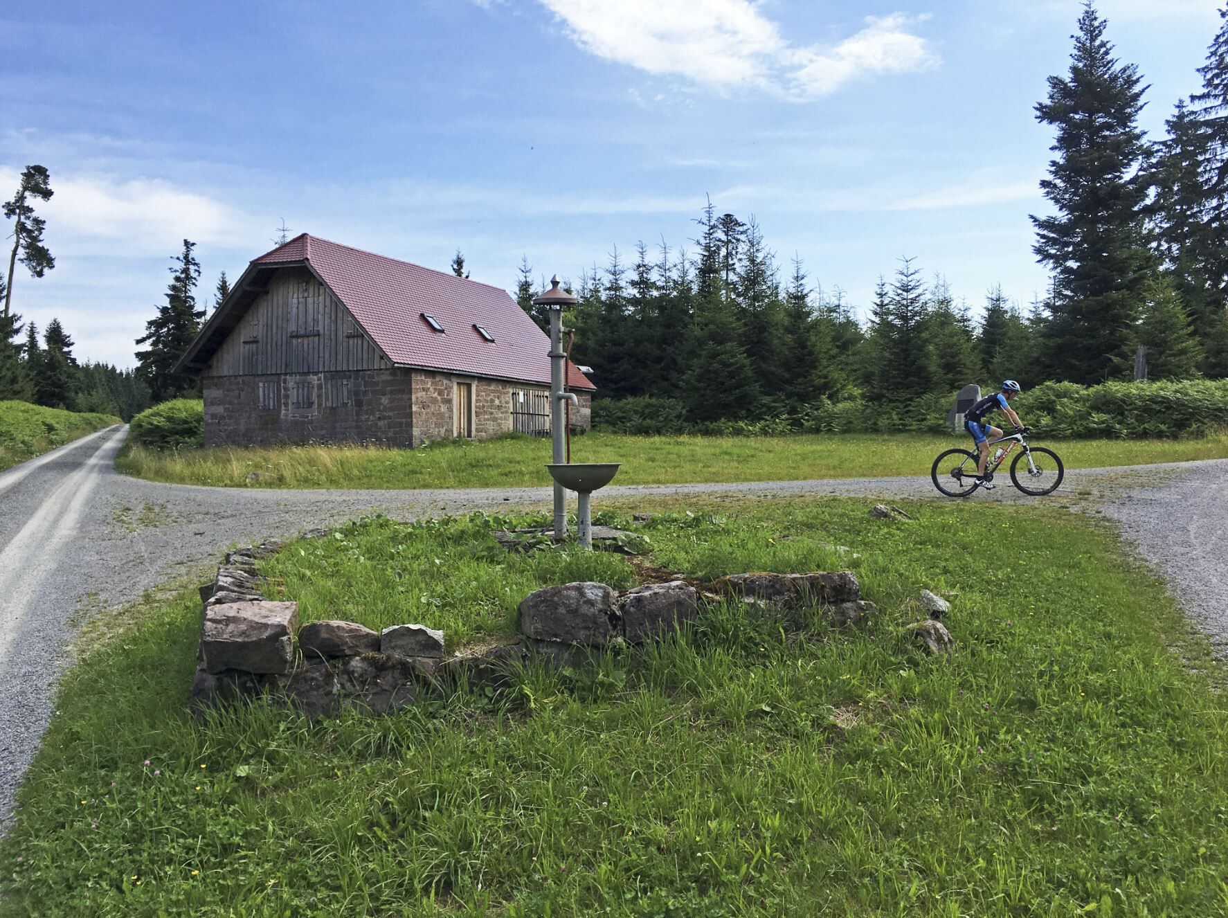
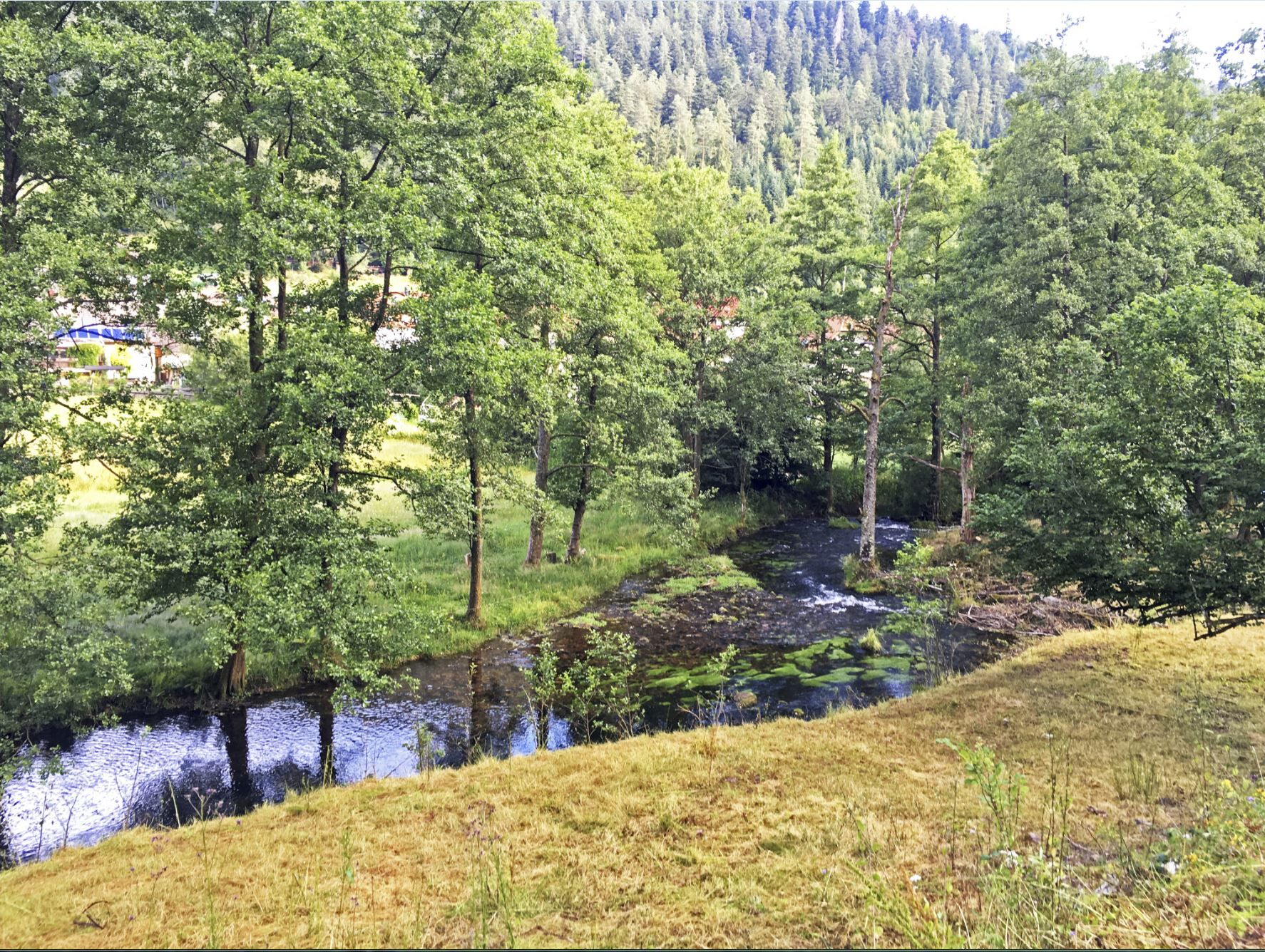
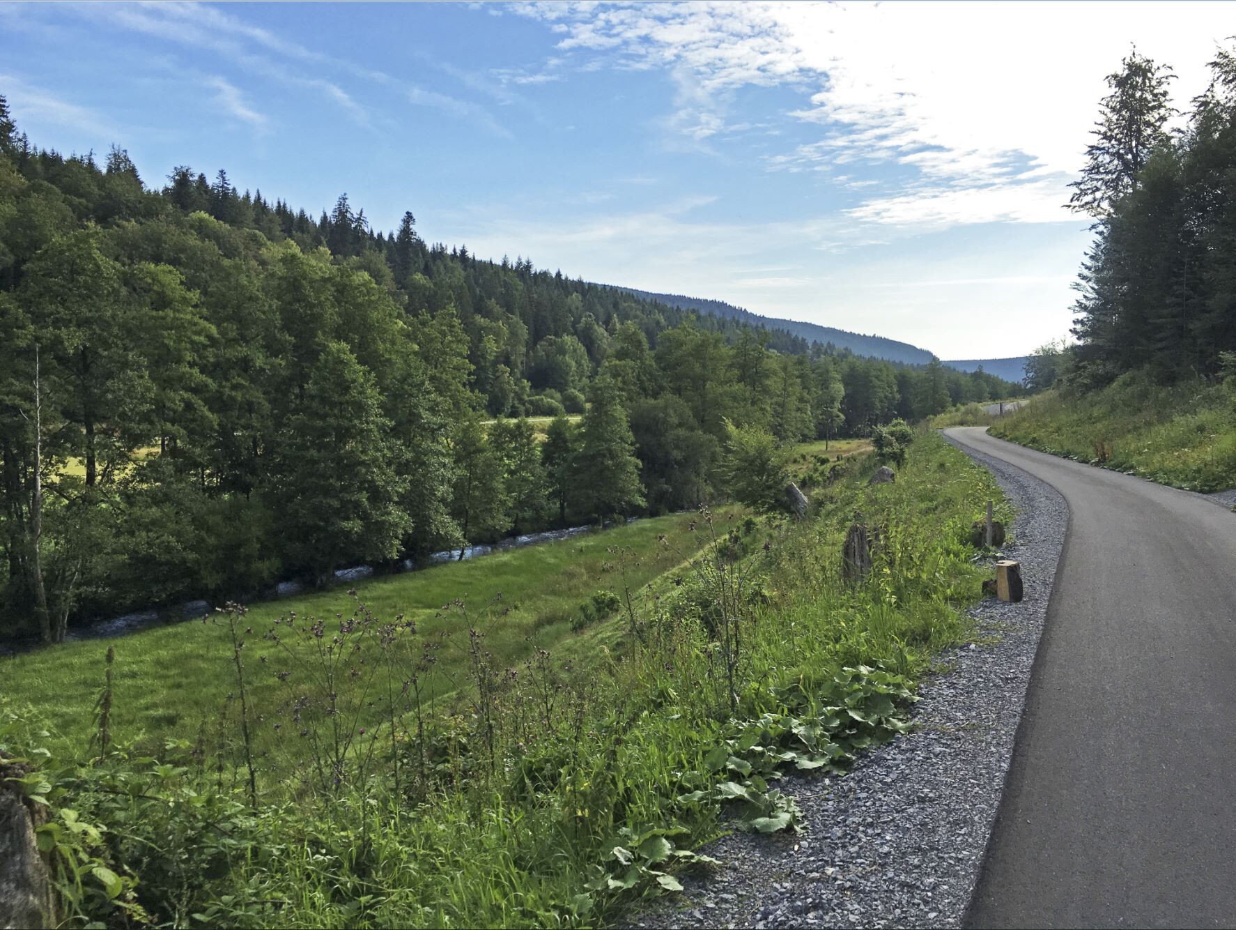
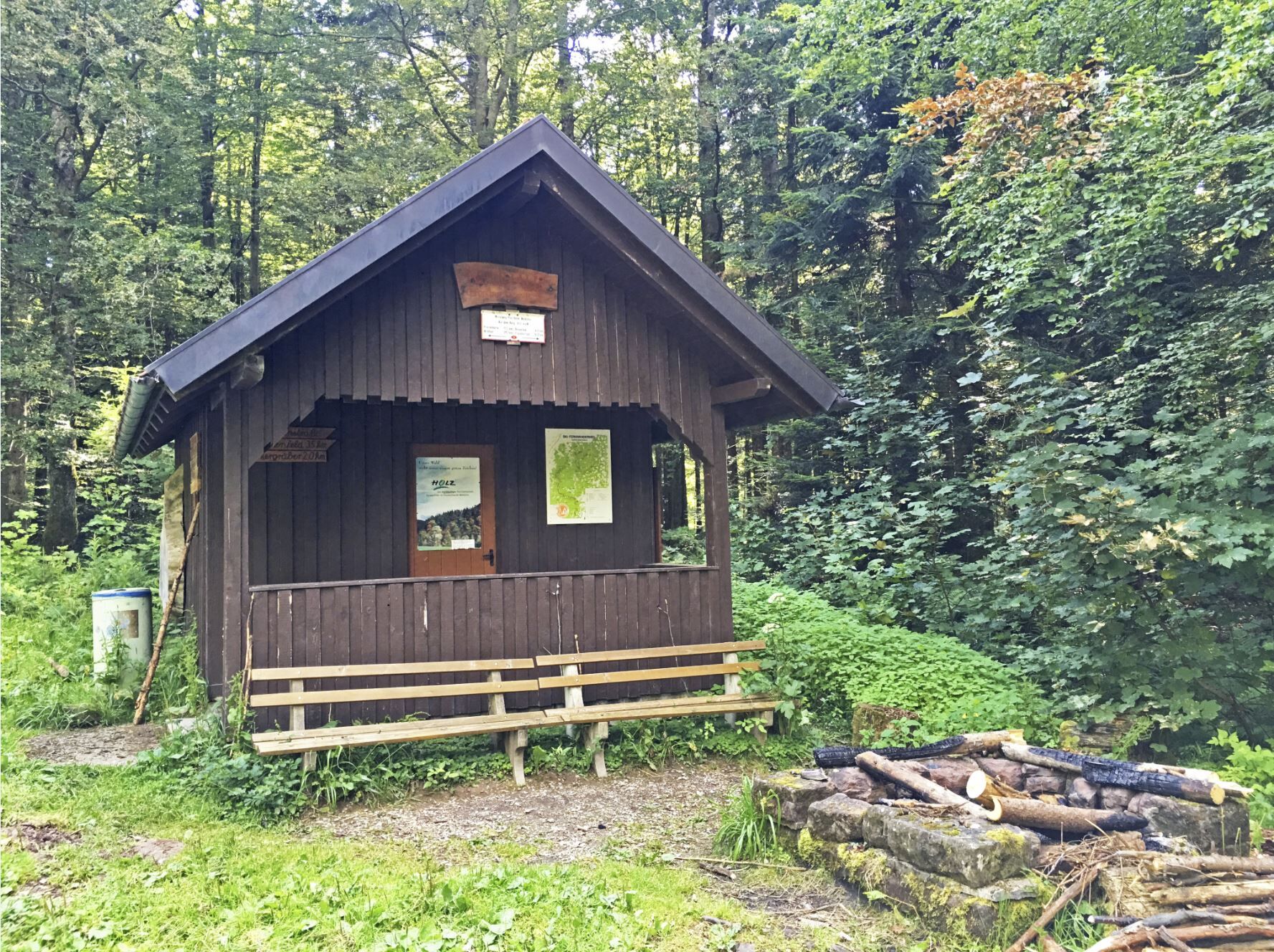
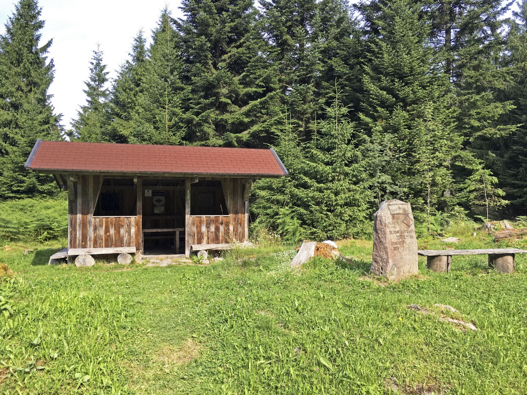
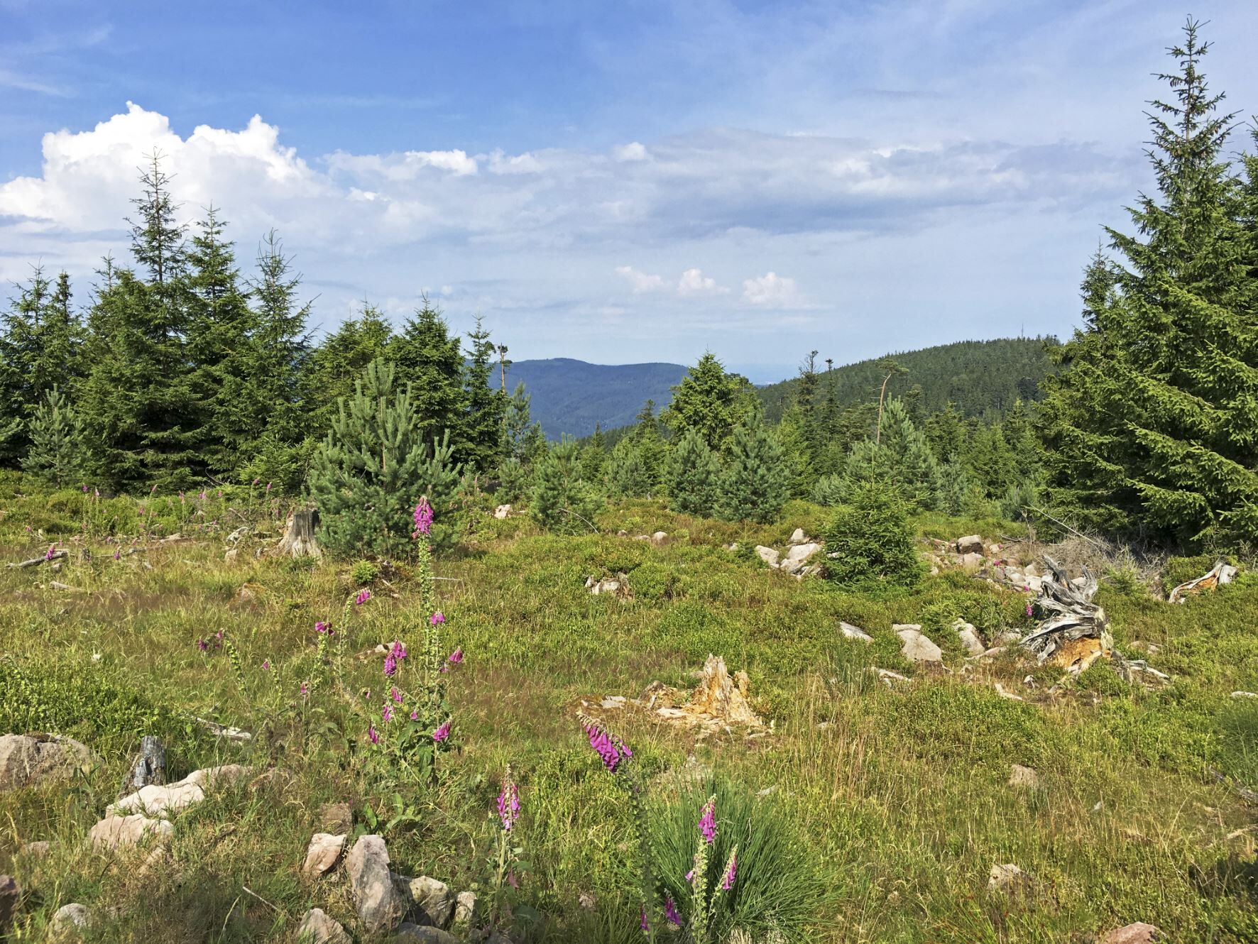
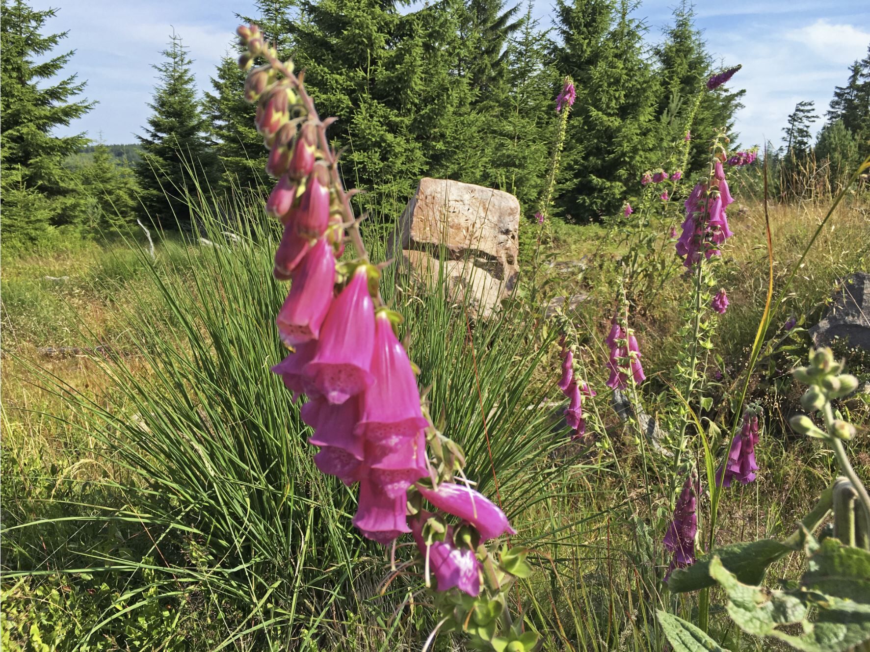
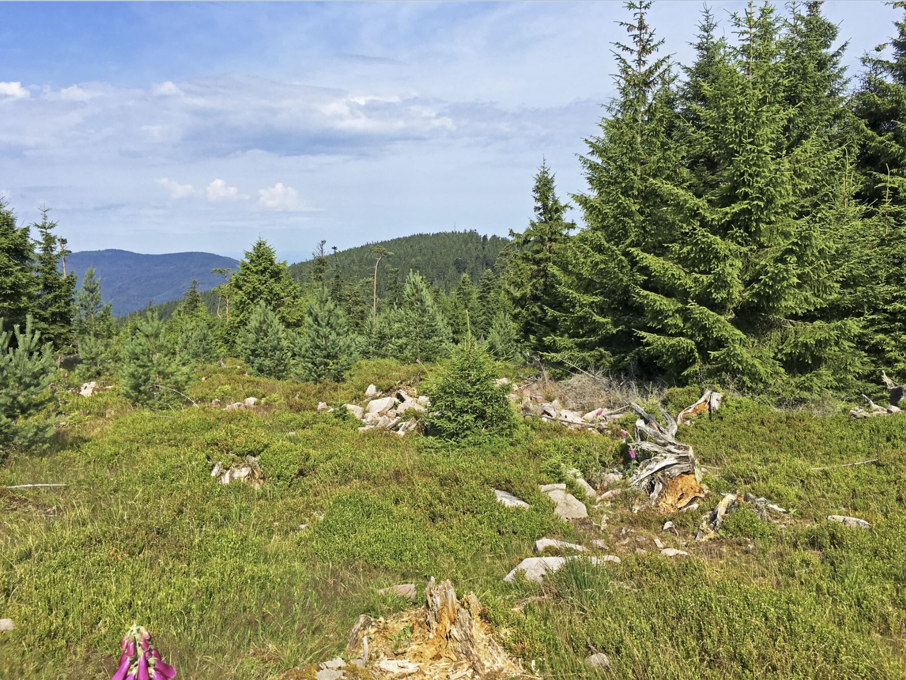
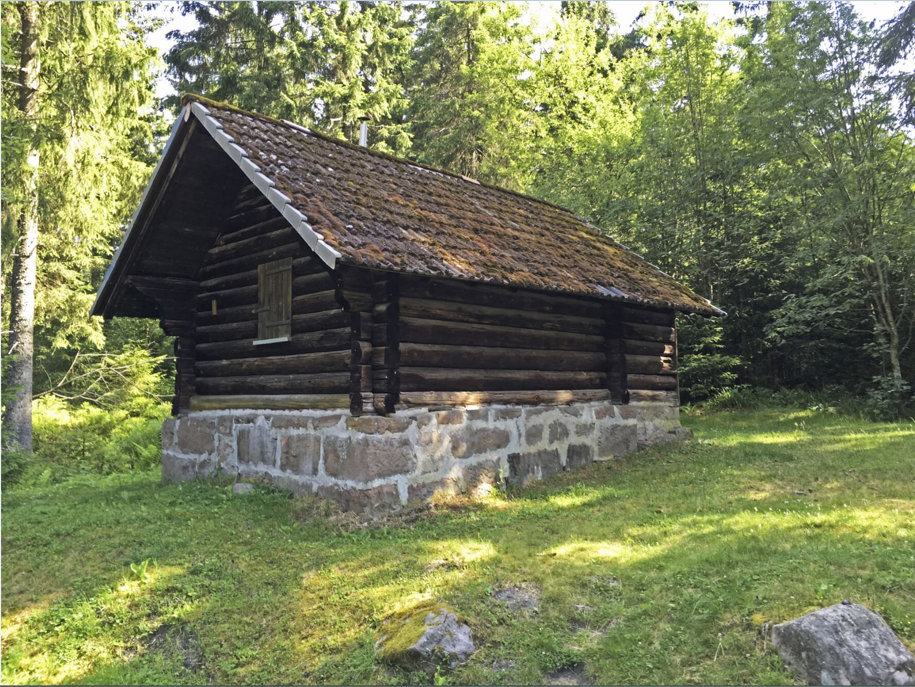
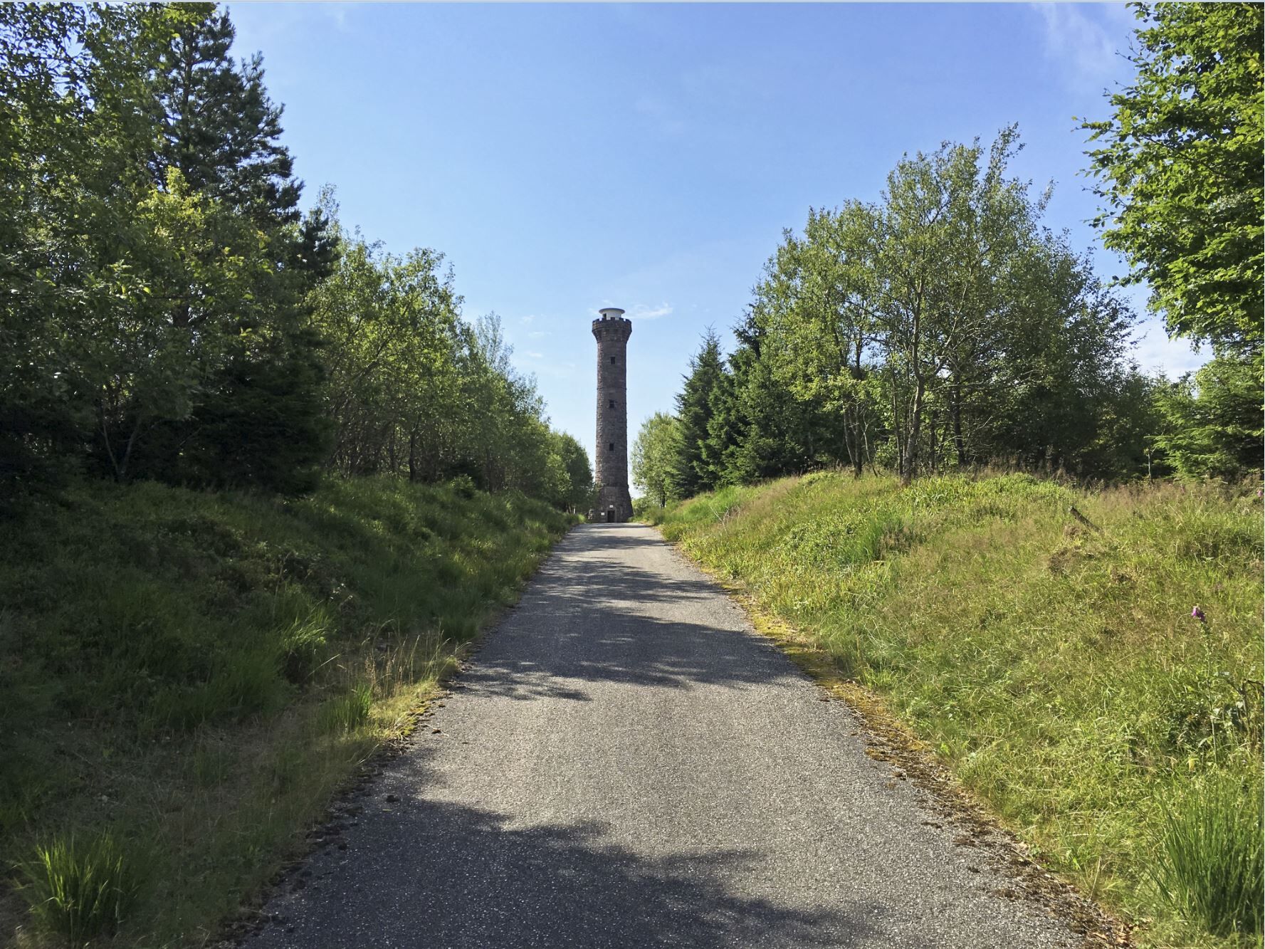
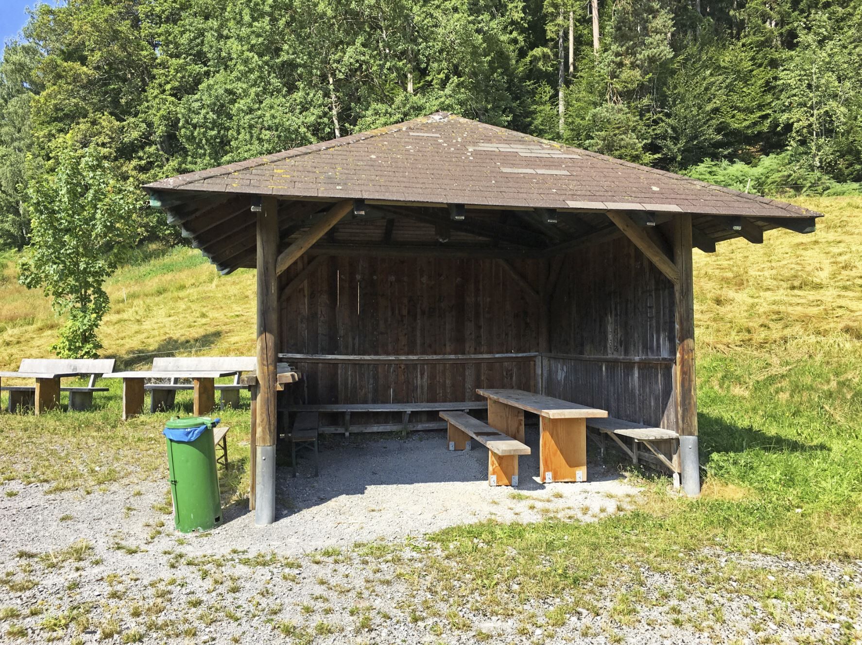
From Enzklösterle, it goes together uphill through the valley along the Kälberbach. At Katberg, it continues to Poppelsee. From here, it goes on to Mittelweg. We follow Mittelweg to Hohlohturm (Kaiser...
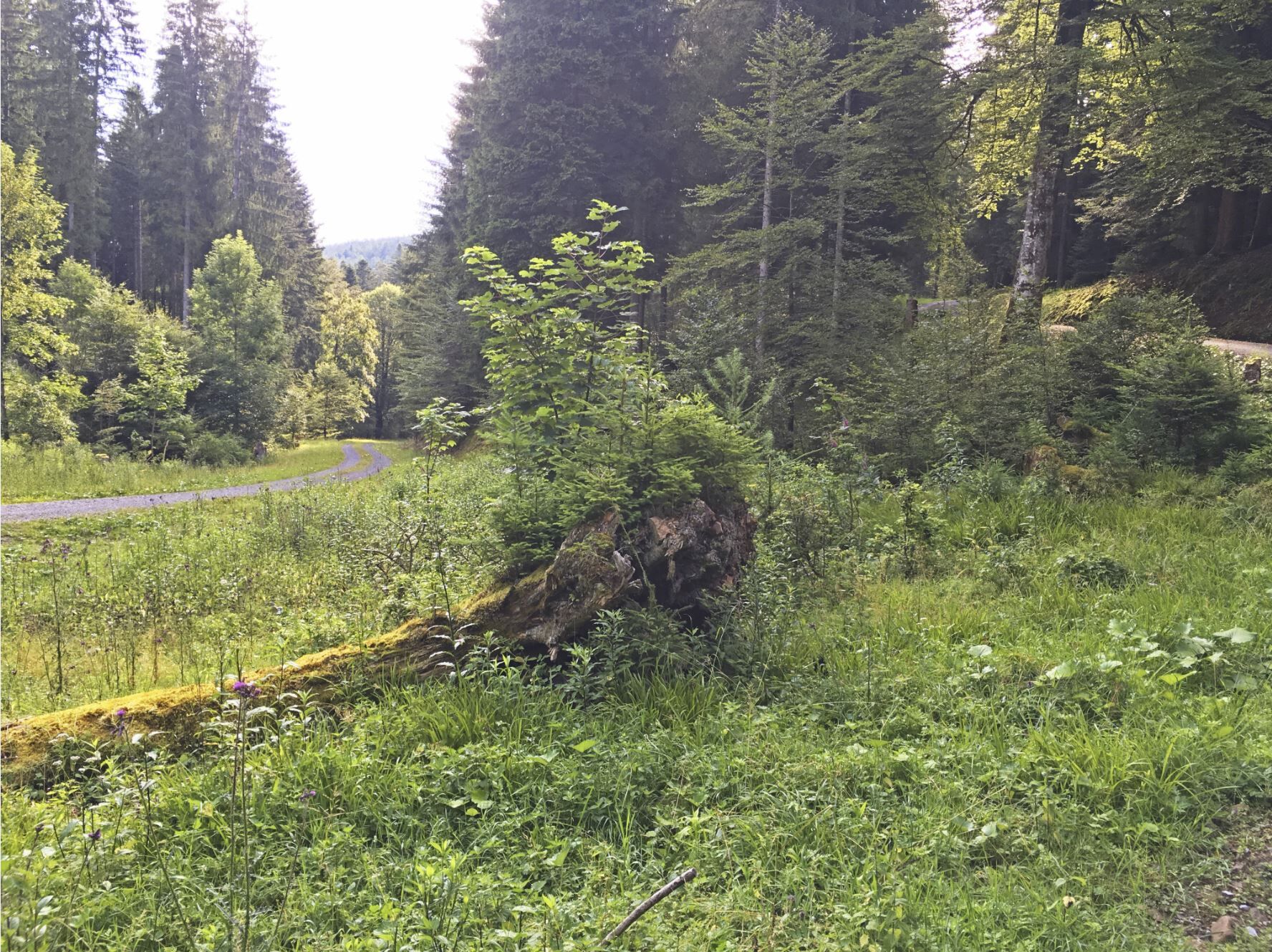
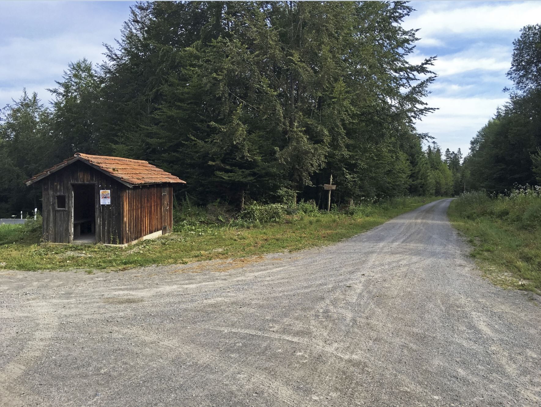
From Enzklösterle, it goes together uphill through the valley along the Kälberbach. At Katberg, it continues to Poppelsee. From here, it goes on to Mittelweg. We follow Mittelweg to Hohlohturm (Kaiser Wilhelm Tower). After a shared break at the observation tower, it goes downhill along Kegelbach to Sprollenhaus. From Sprollenhaus, it goes back to Enzklösterle.
Ano
Helmet
Provision
GPS device recommended
Traffic regulations apply!
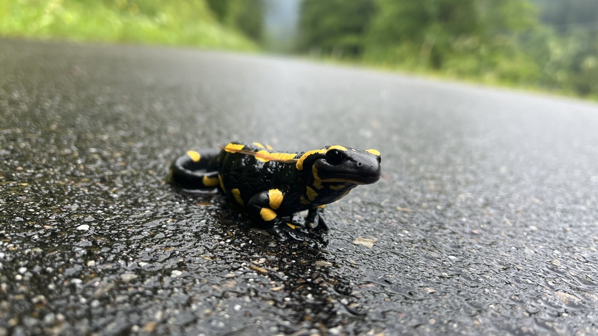
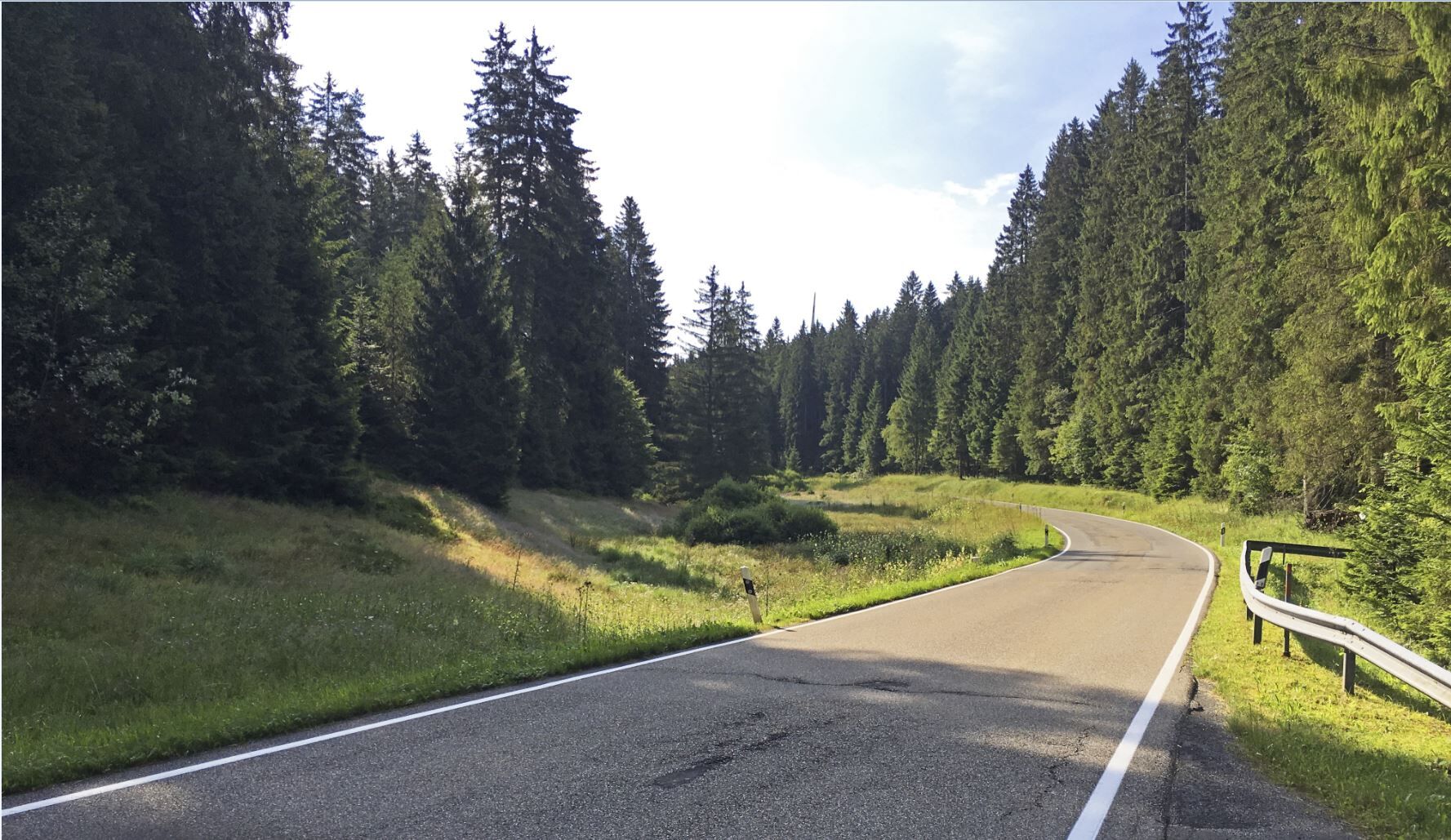
Beware when turning left from L351 into the forest. Very unclear right curve!
Friedenstraße 16
75337 Enzklösterle
Bus: Stop Schule/Halle
Parking in the surrounding parking lots or on the street.
S0
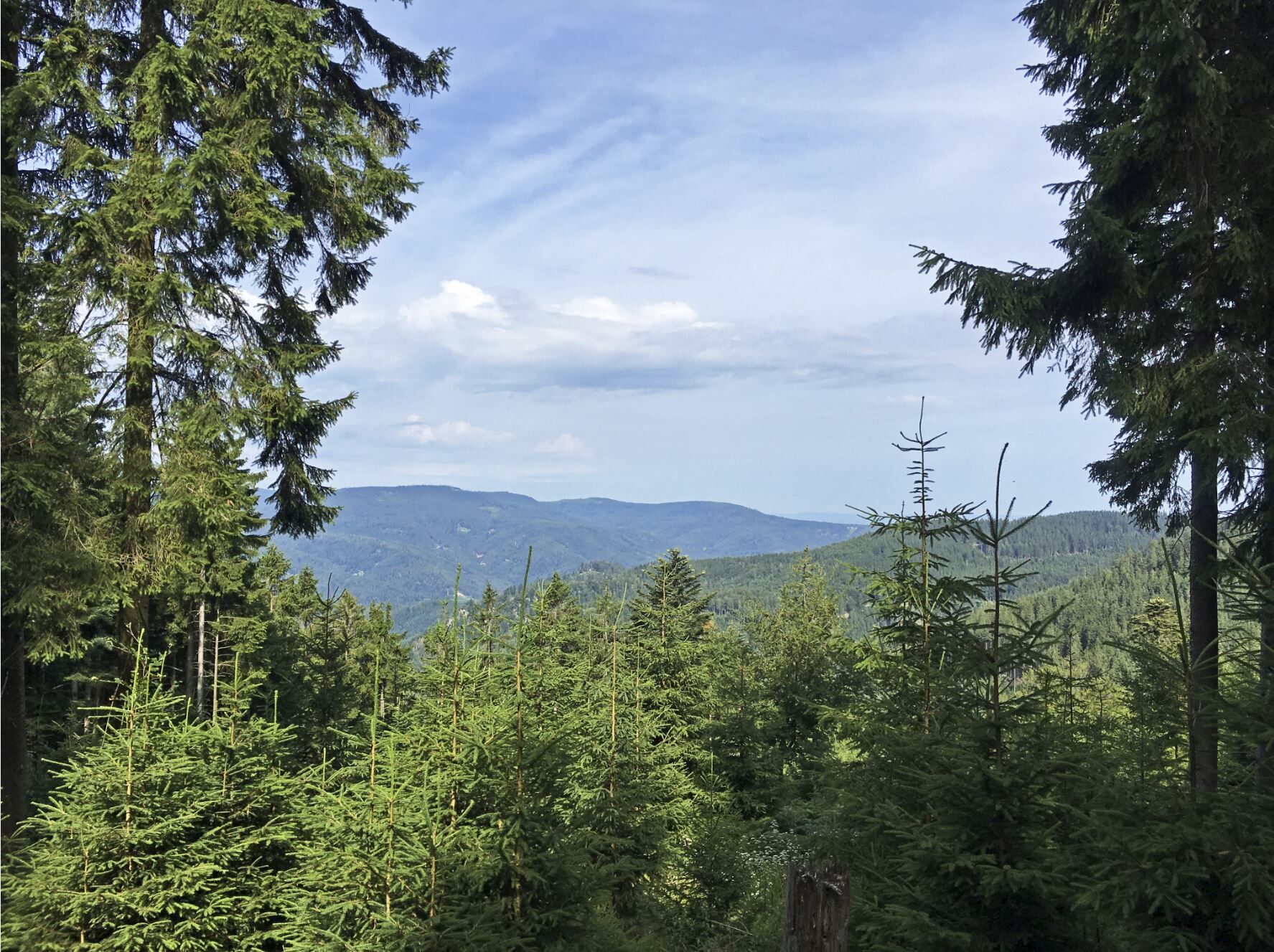
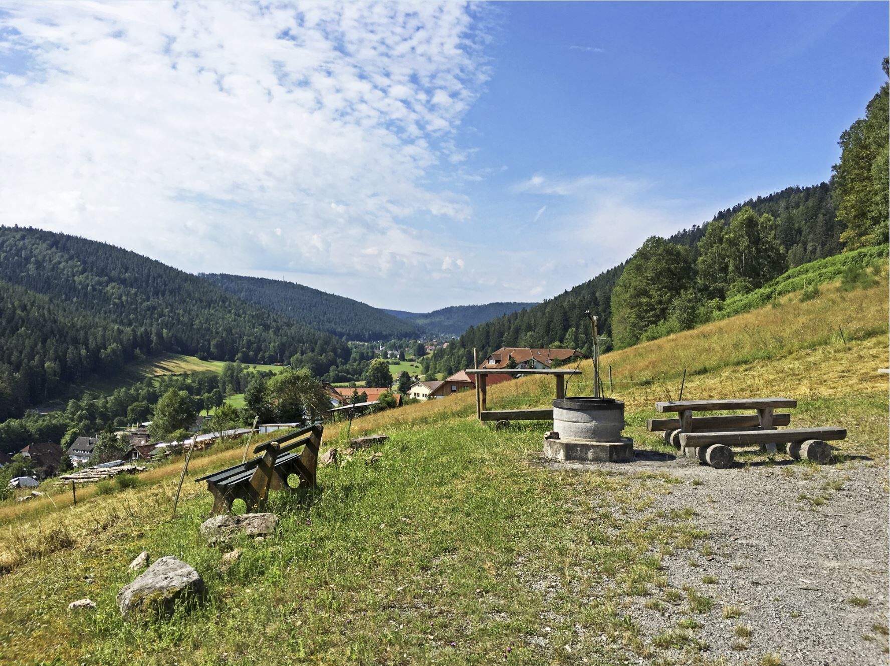
Enjoy the view from the Kaiser Wilhelm Tower (Hohlohturm) over the Black Forest.
Oblíbené prohlídky v okolí
- 5,0
Circular route via spring nature trail and Wurstberg
světloTuristika 8,08 km - 4,7
Eyach round
středníTuristika 7,84 km - 4,7
premium hiking trail Enzquellenpfad
středníTuristika 19,9 km - 3,0
Dobel High-Altitude Route
středníTuristika 11,8 km - 4,0
Kaltenbronn Circular Route No. 1 - Wildsee Moor Loop
světloTuristika 8,30 km - 4,3
Nature experience tour Kaltenbronn
středníTuristika 14,2 km - 4,0
Eiszeit-Tour
Turistika 11,7 km - 2,6
Genießerpfad zum Panoramastüble
Turistika 10,6 km - 4,8
Weisenbacher Steig (Rechts der Murg)
středníTuristika 17,6 km AugenBlick route Bad Herrenalb Schweizerkopf
středníTuristika 15,5 km

Pěší turistika a stopování


Nenechte si ujít nabídky a inspiraci pro vaši příští dovolenou
Vaše e-mailová adresa byl přidán do poštovního seznamu.