







Enz marathon - mountain biking through the Enz valley
Úroveň obtížnosti: S1
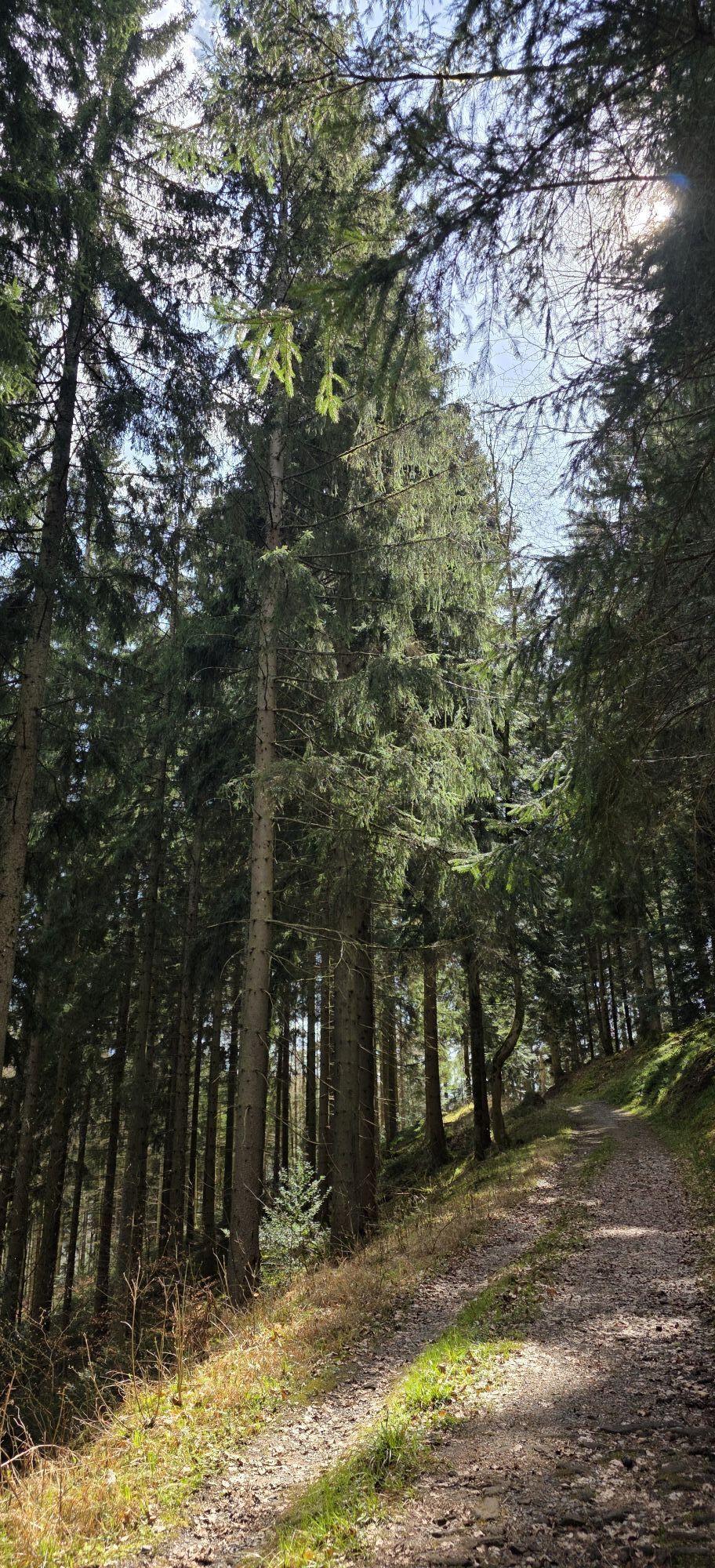
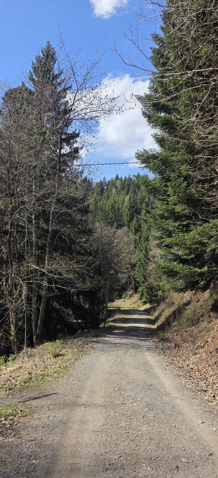
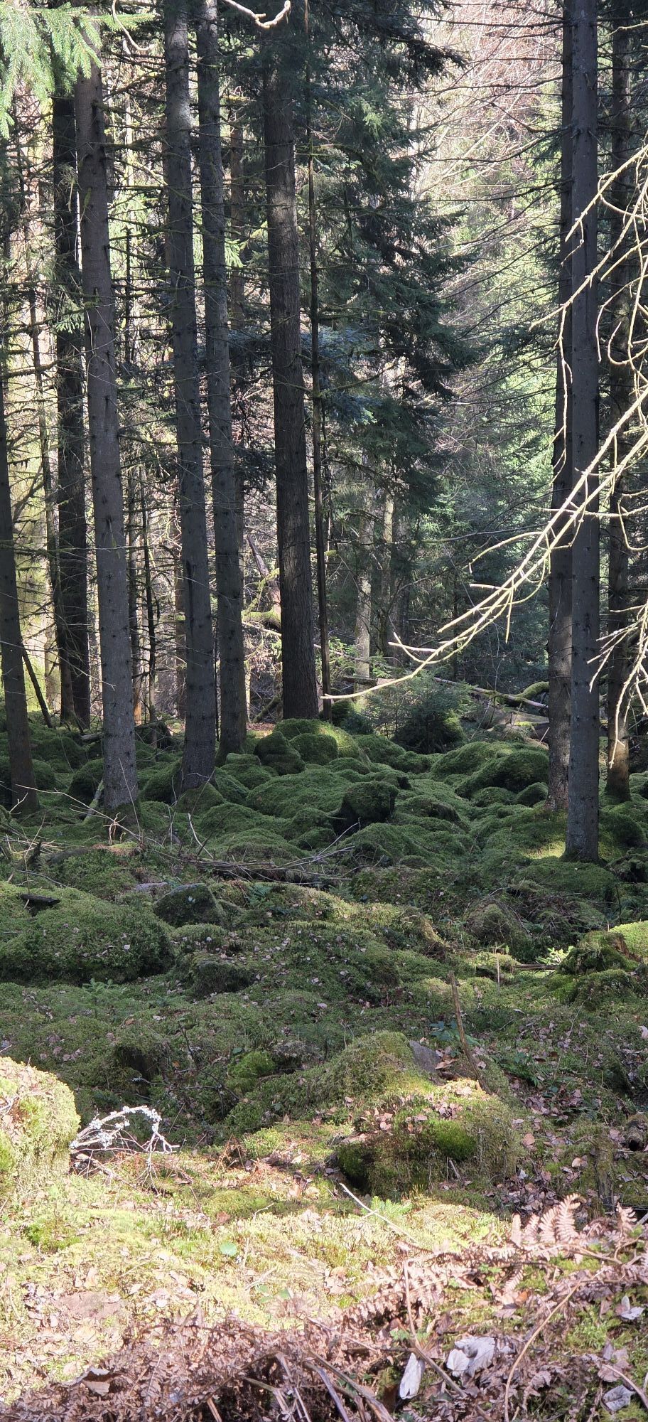
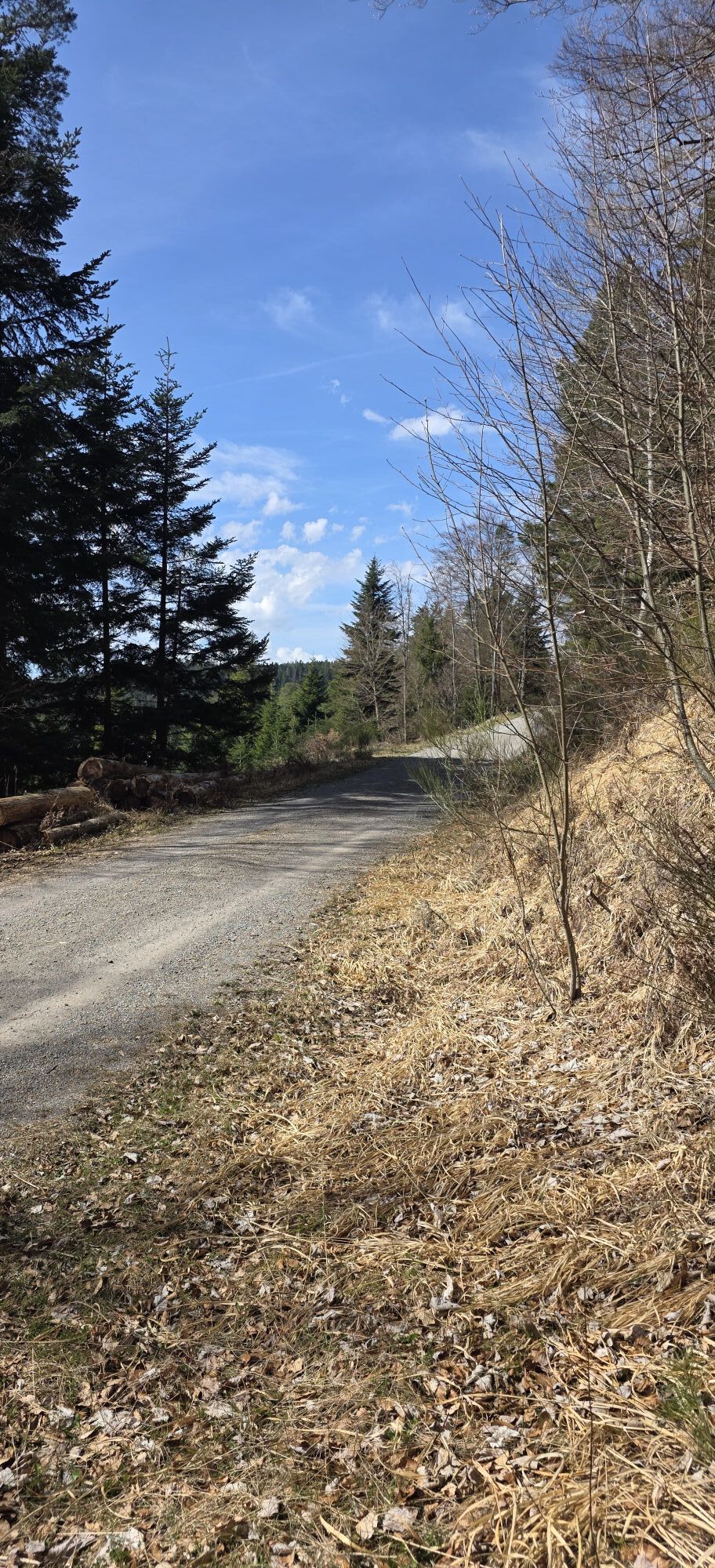
The entire route is signposted, but it should also be ridden with a GPS device and/or map, as there are places where signage is currently still insufficient!
Our route starts at the train station in Bad...
The entire route is signposted, but it should also be ridden with a GPS device and/or map, as there are places where signage is currently still insufficient!
Our route starts at the train station in Bad Wildbad and goes up to Meistern Kopf (mountain - 714m).
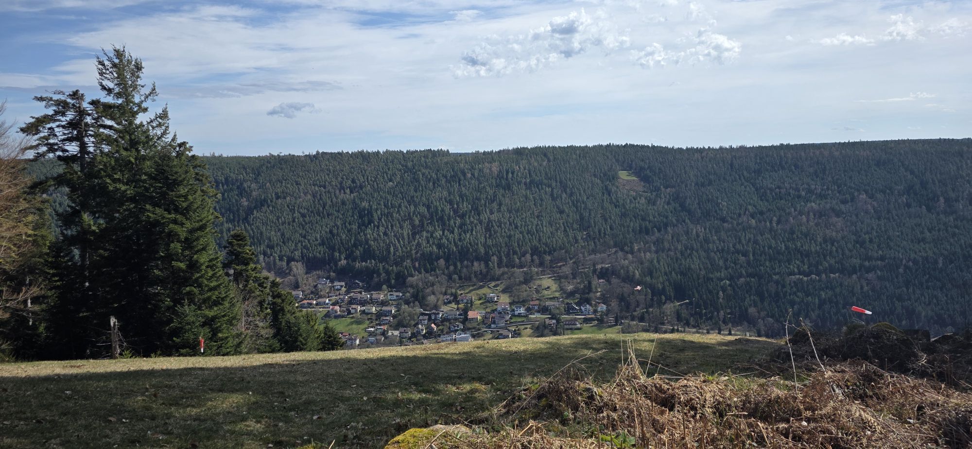
From here it continues along the ridge through the elevated villages of Meistern, Hünerberg and Aichelberg to the blueberry village Enzklösterle.
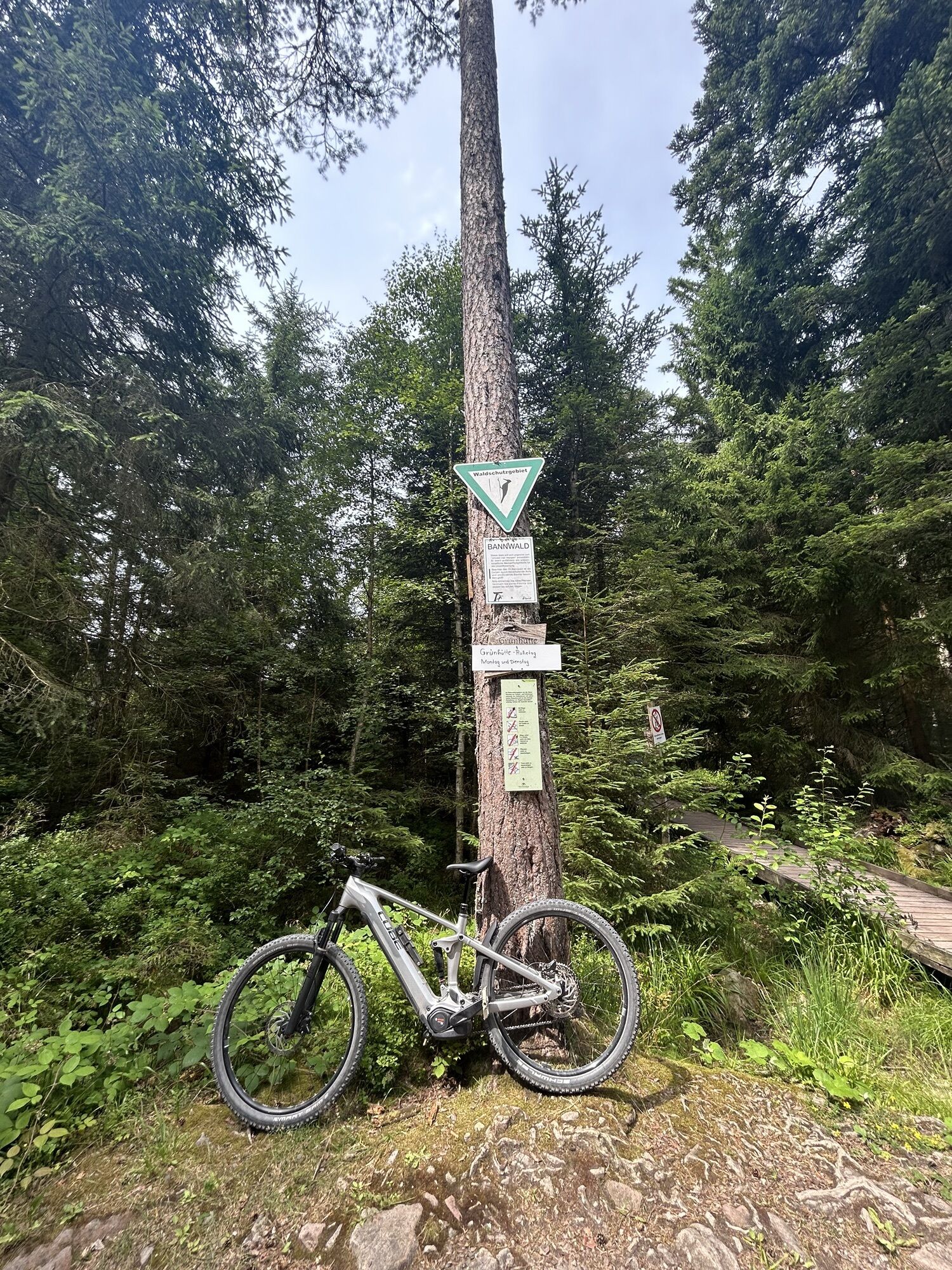
After a short descent to the center of Enzklösterle, a further long climb follows up to the moor and nature reserve at Hohlohsee. A boardwalk leads through the moor (push section!) and the path then continues directly to the Hohlohturm with impressive views.
Further on in the Kaltenbronn nature reserve. From here we go slightly downhill over the Sommerberg back to Bad Wildbad at the starting point of the route.
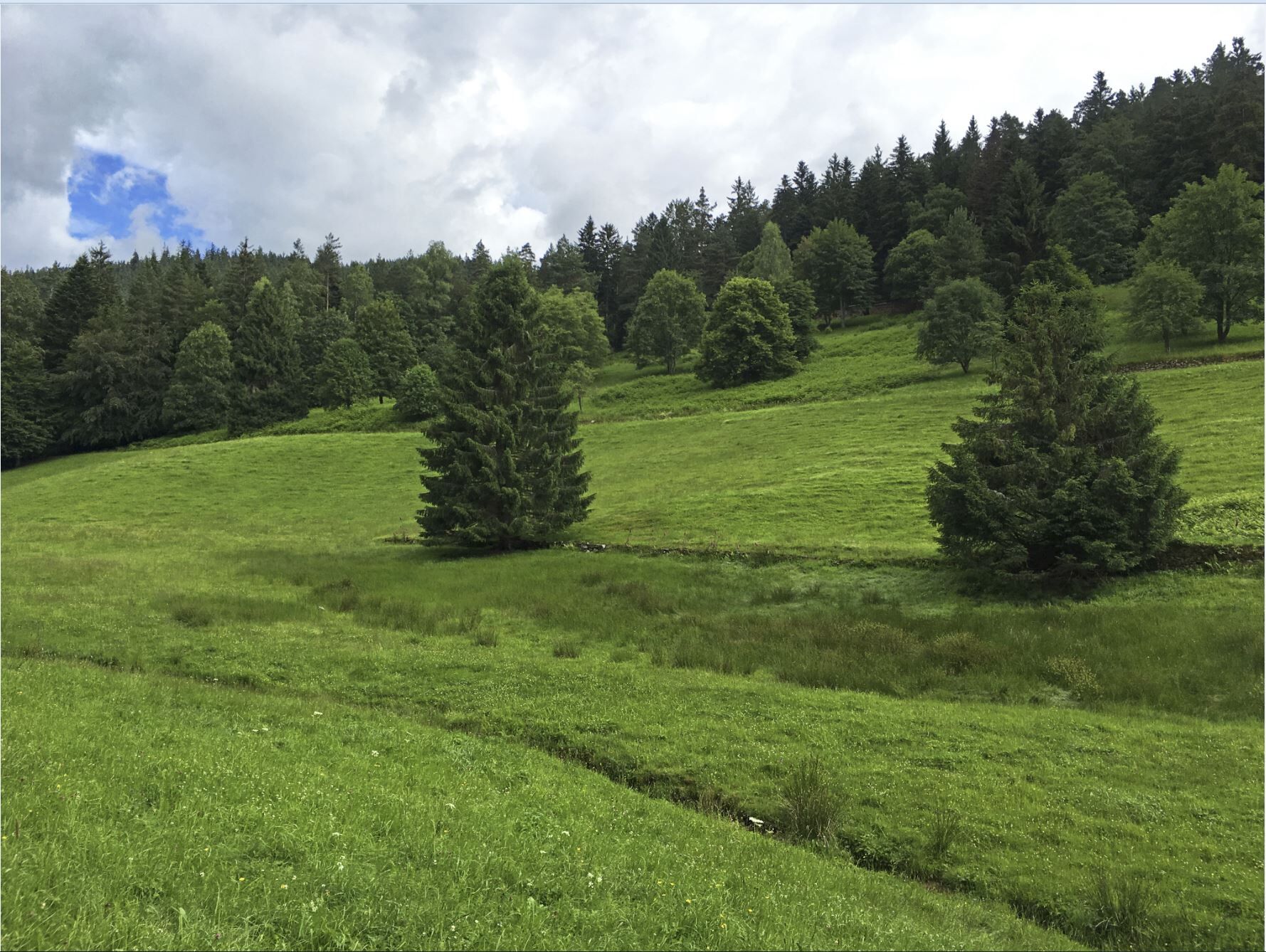
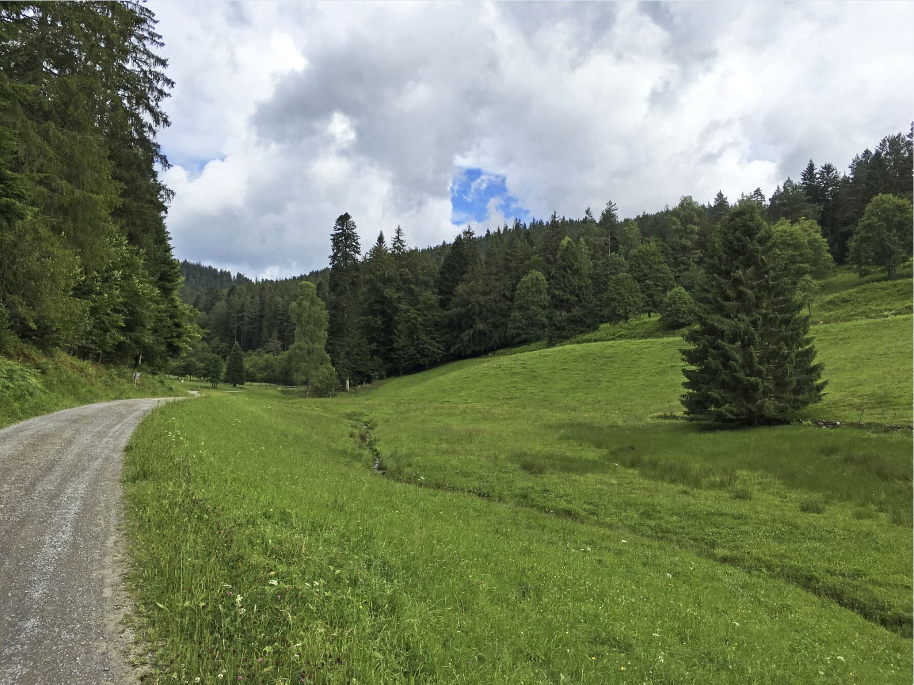
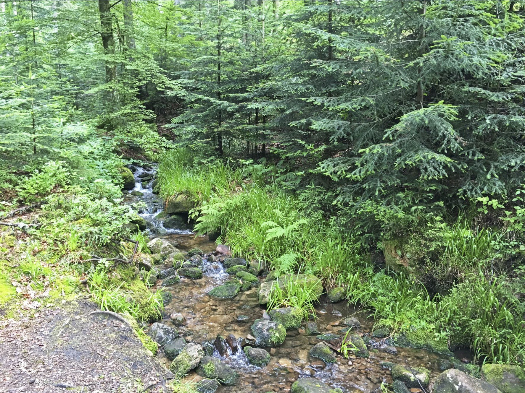
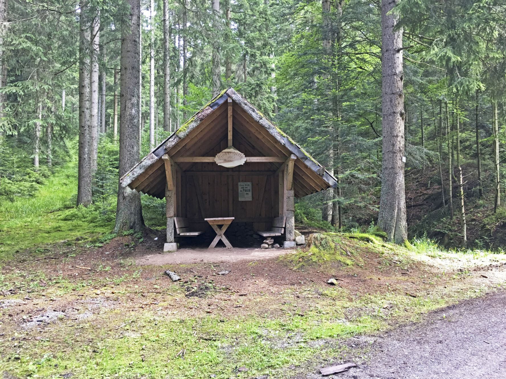
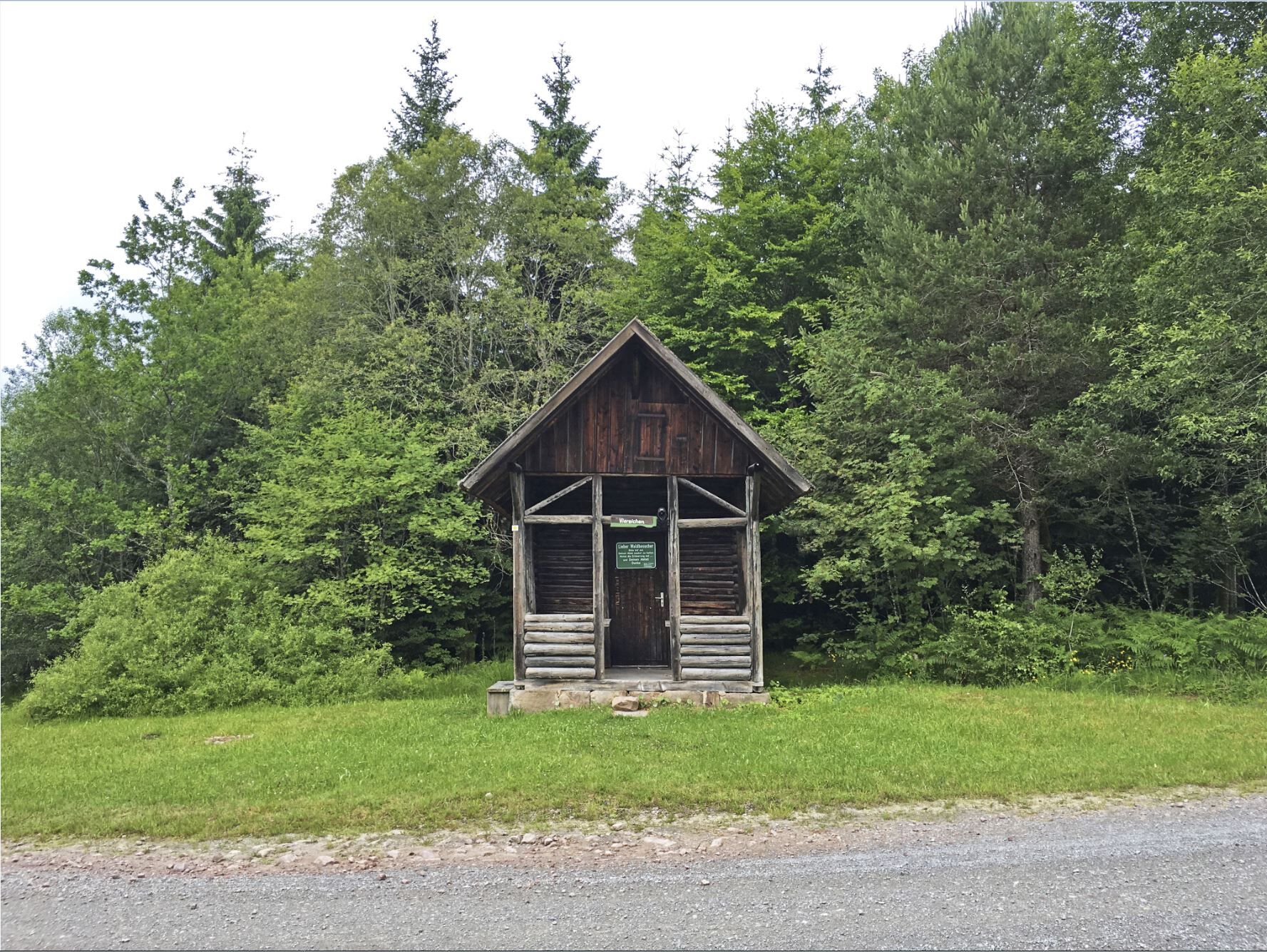
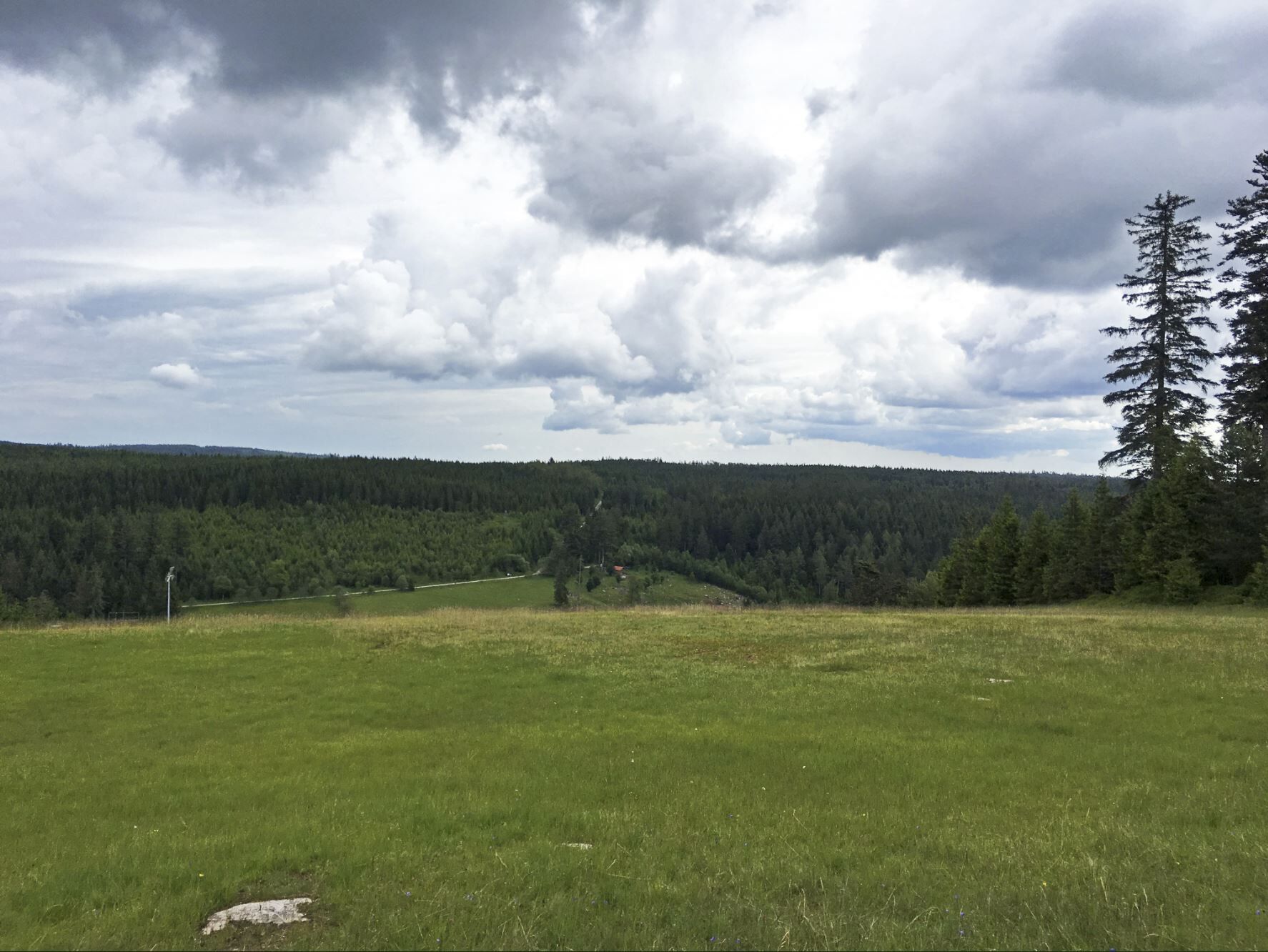
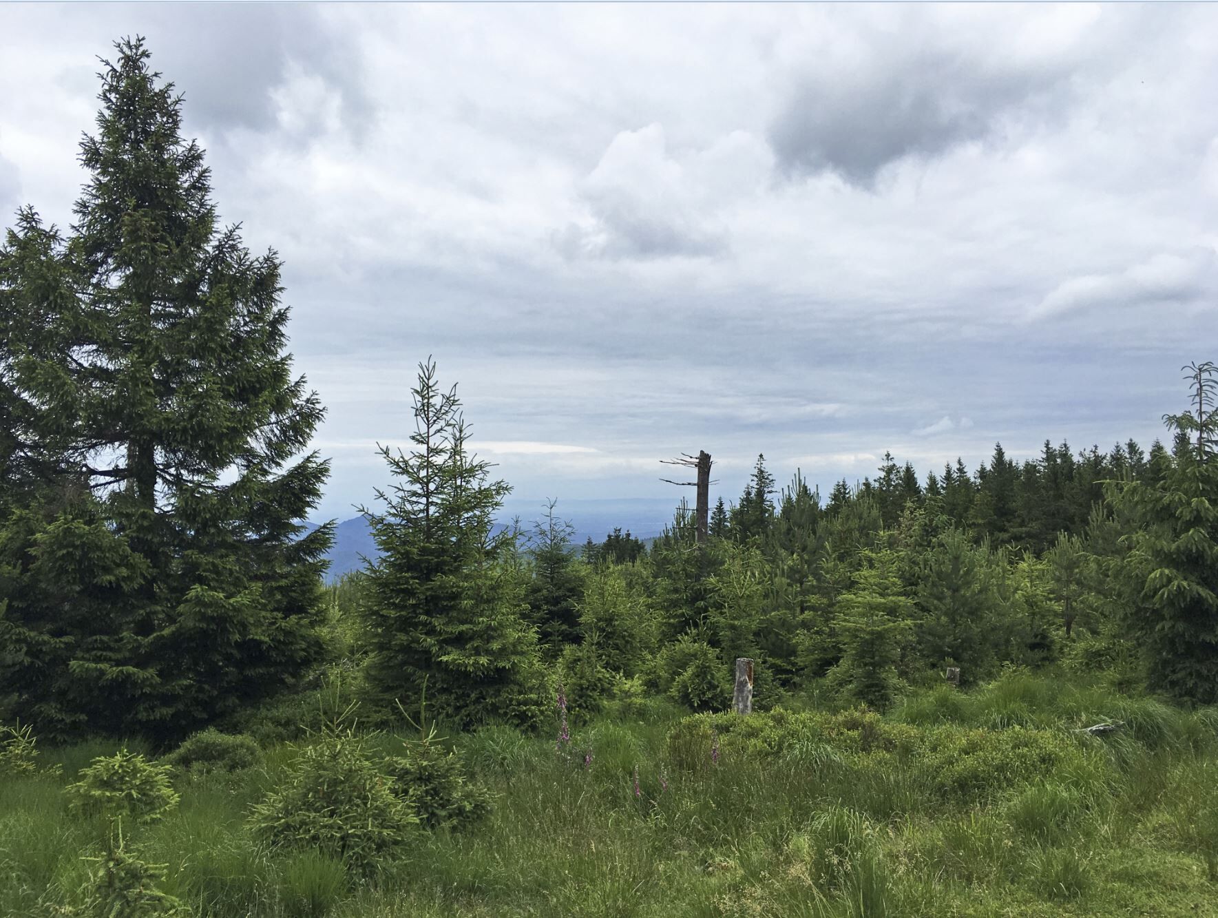
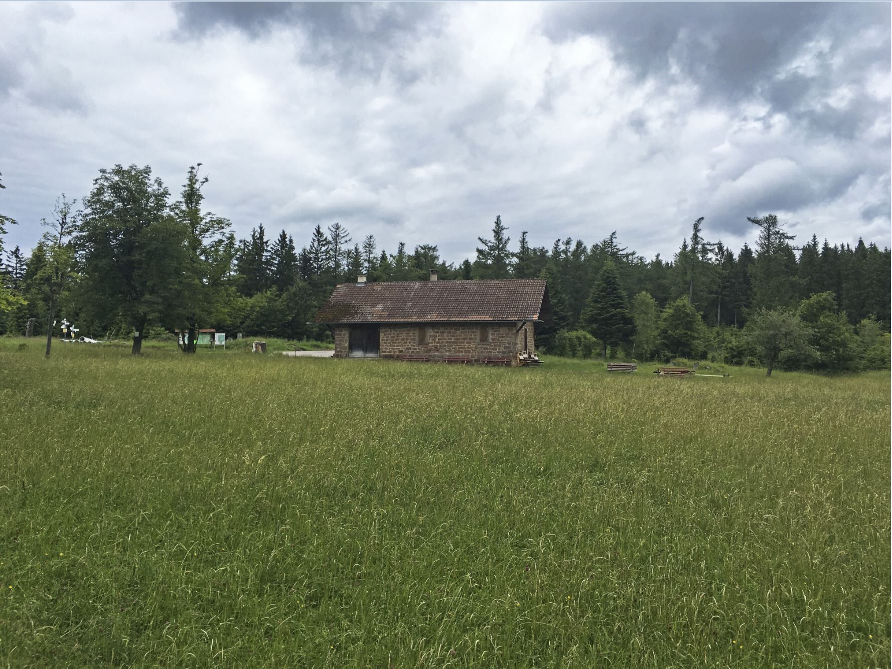
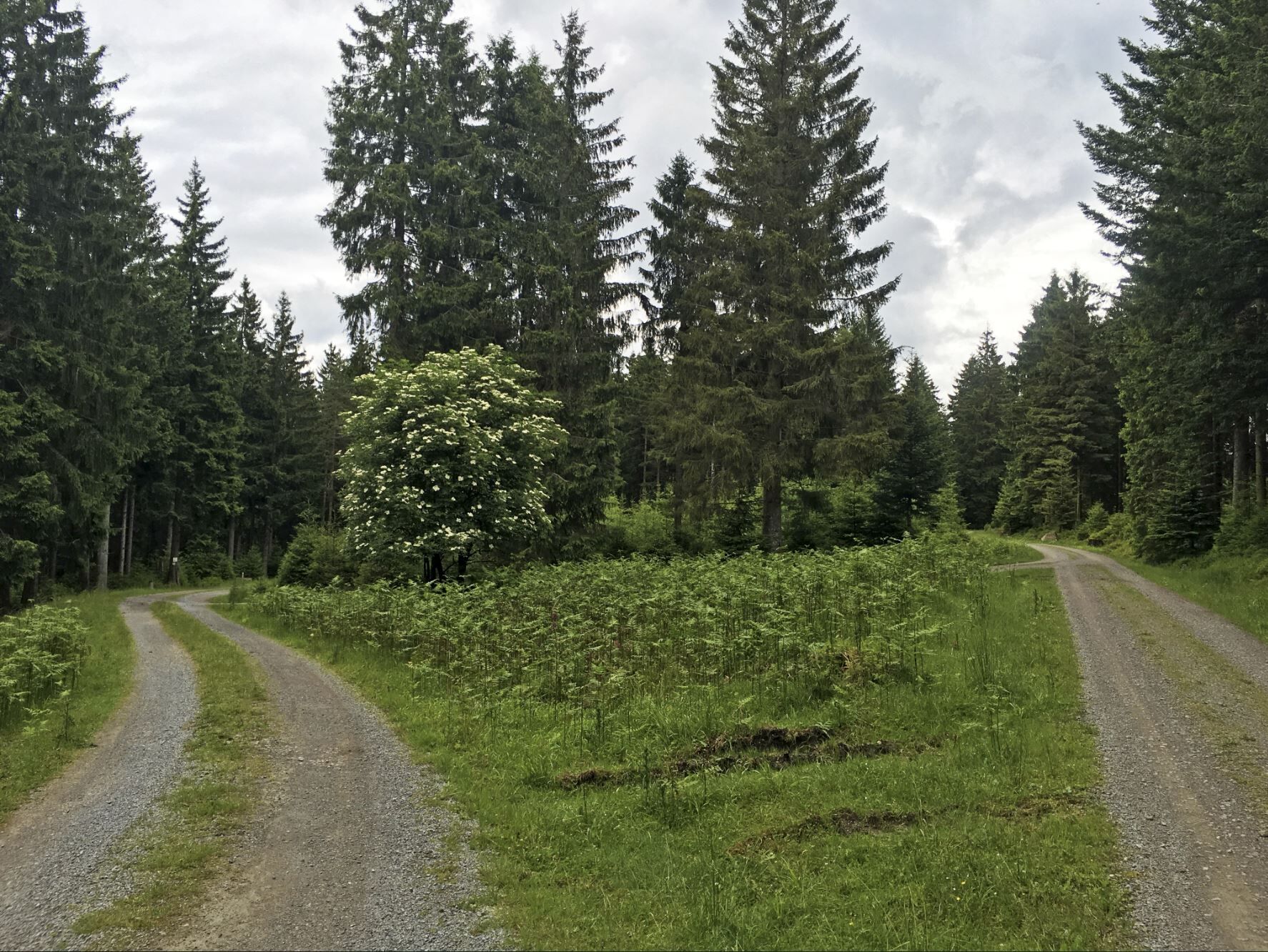
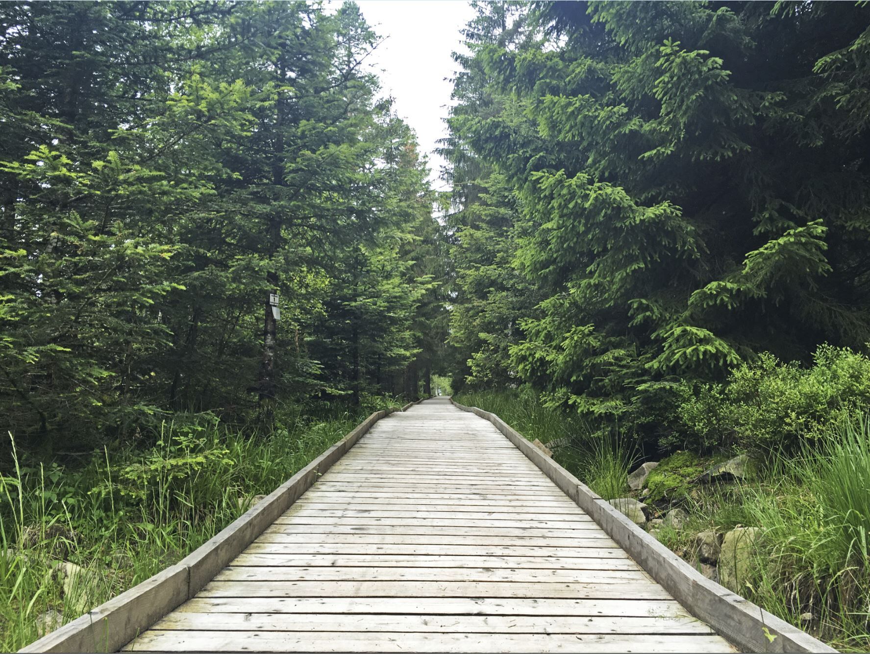
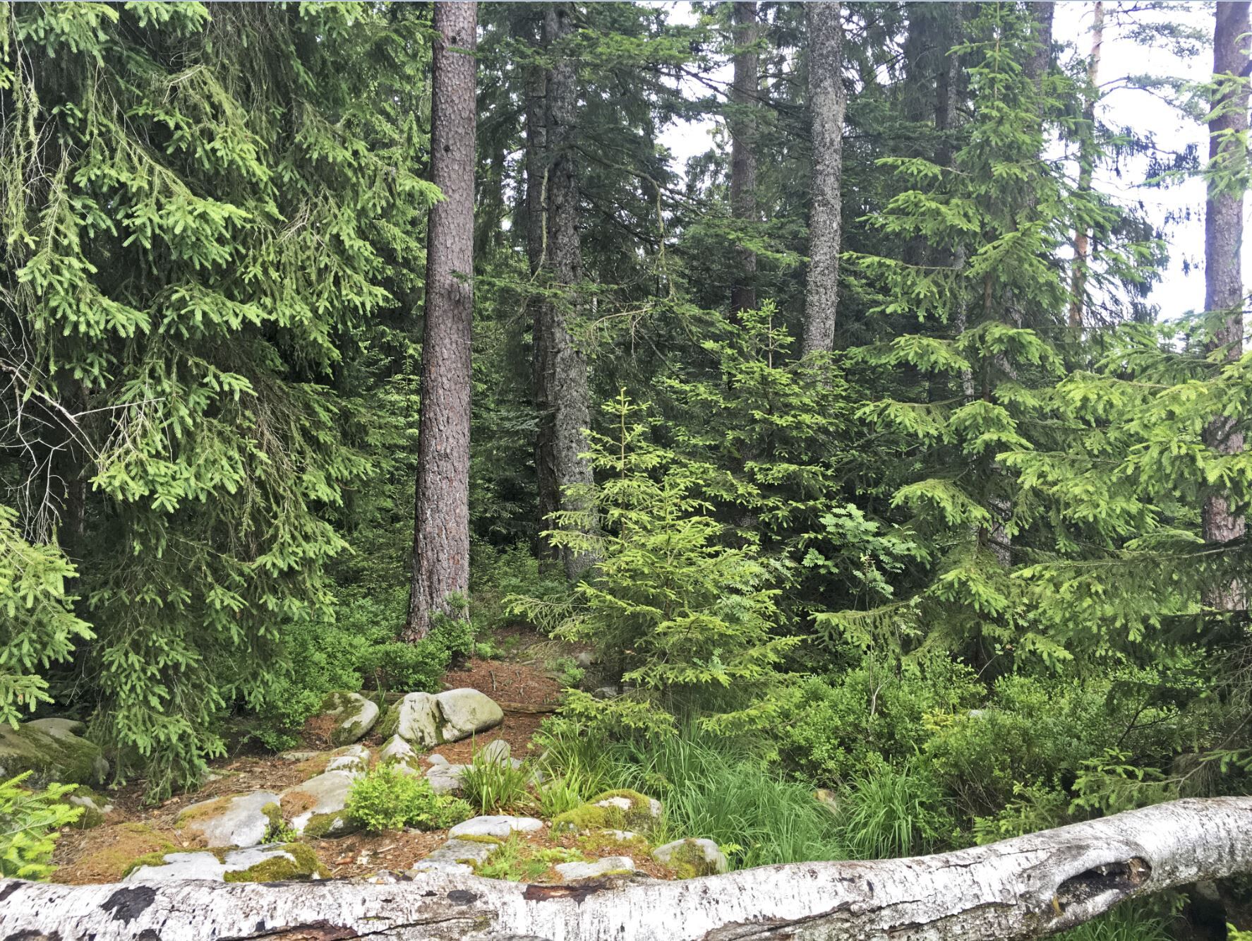
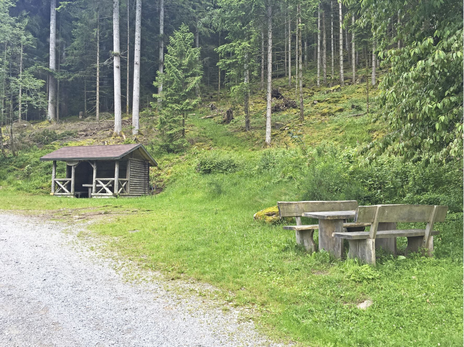
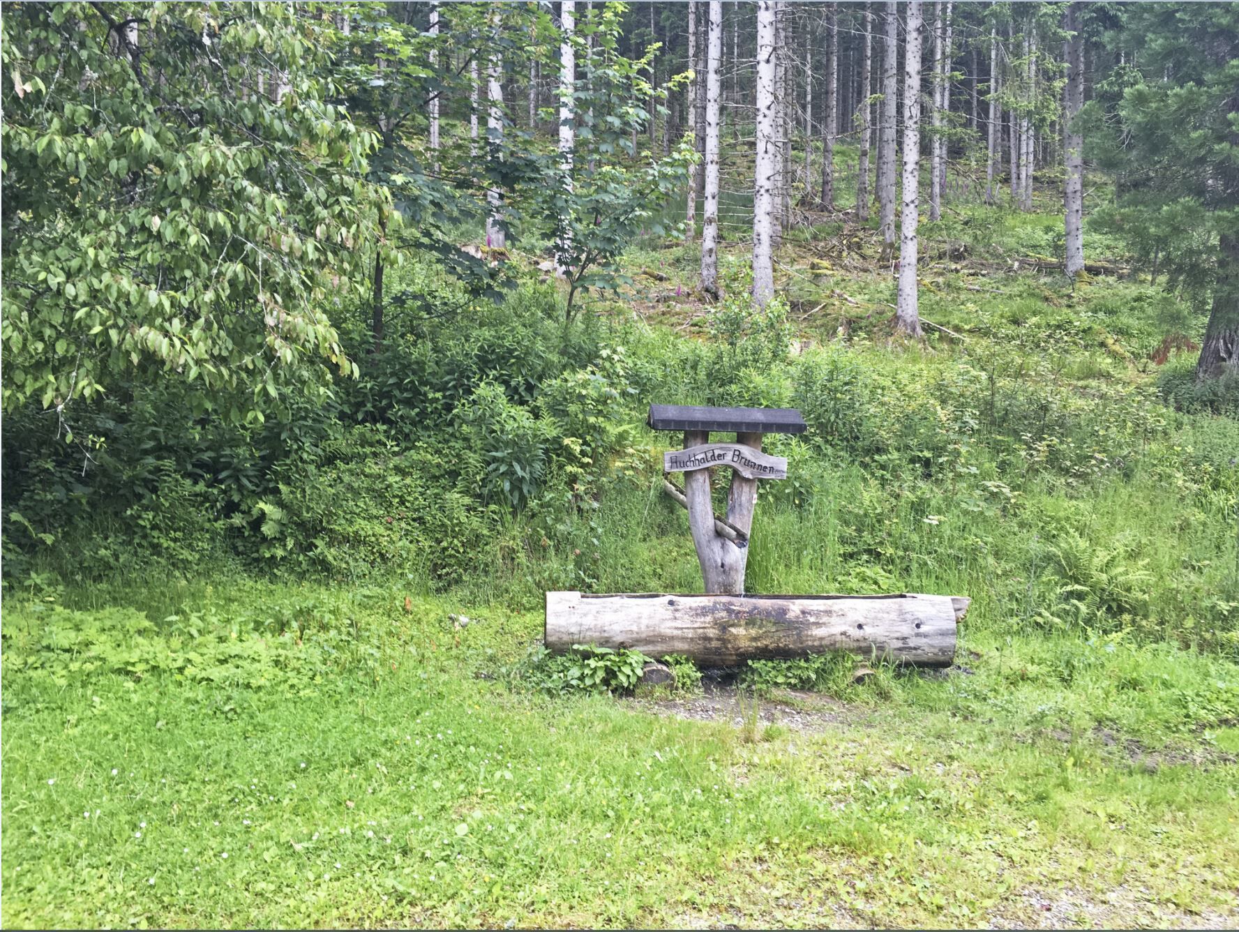
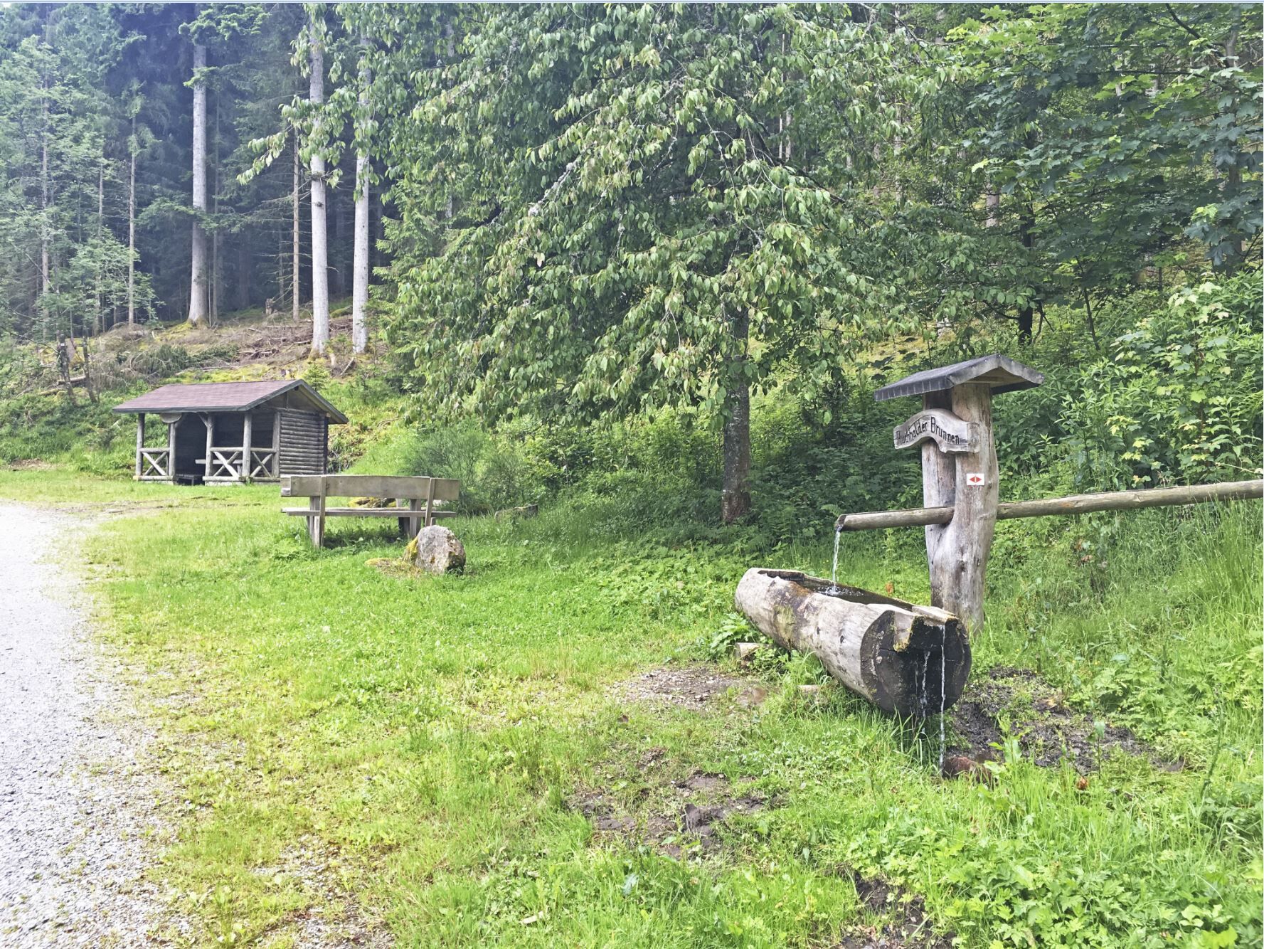
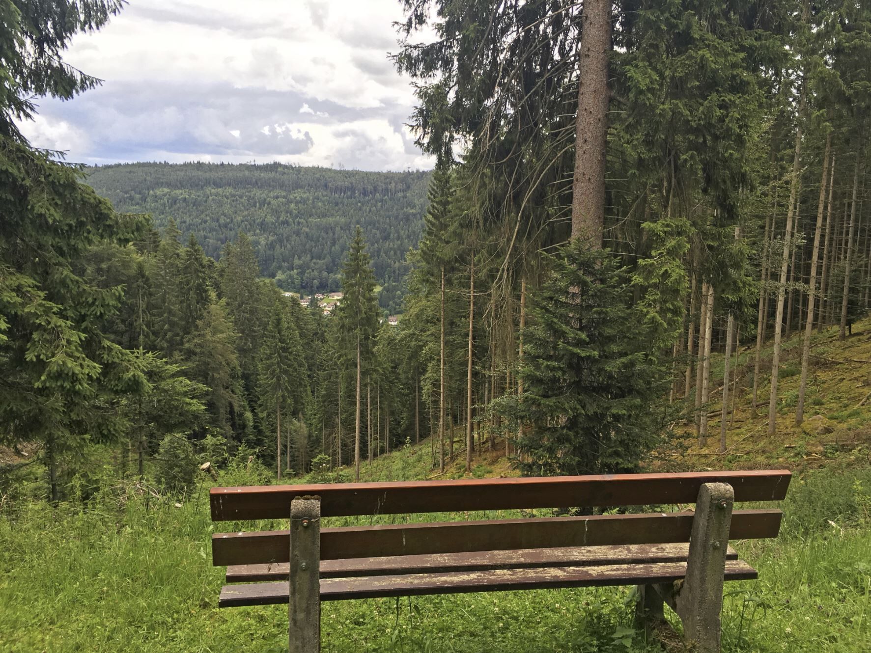
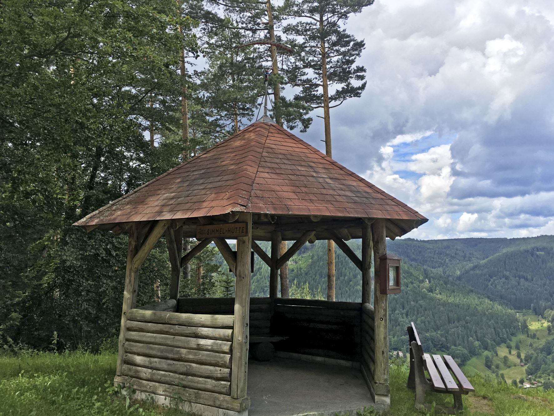
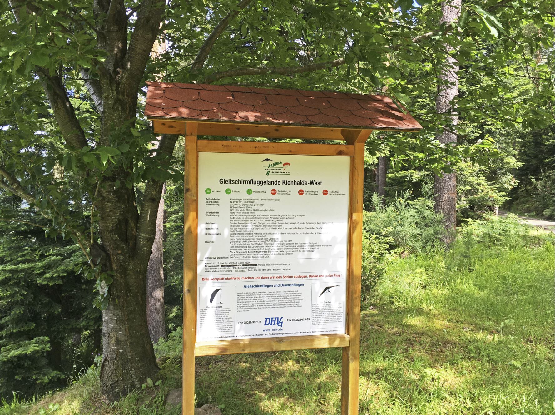
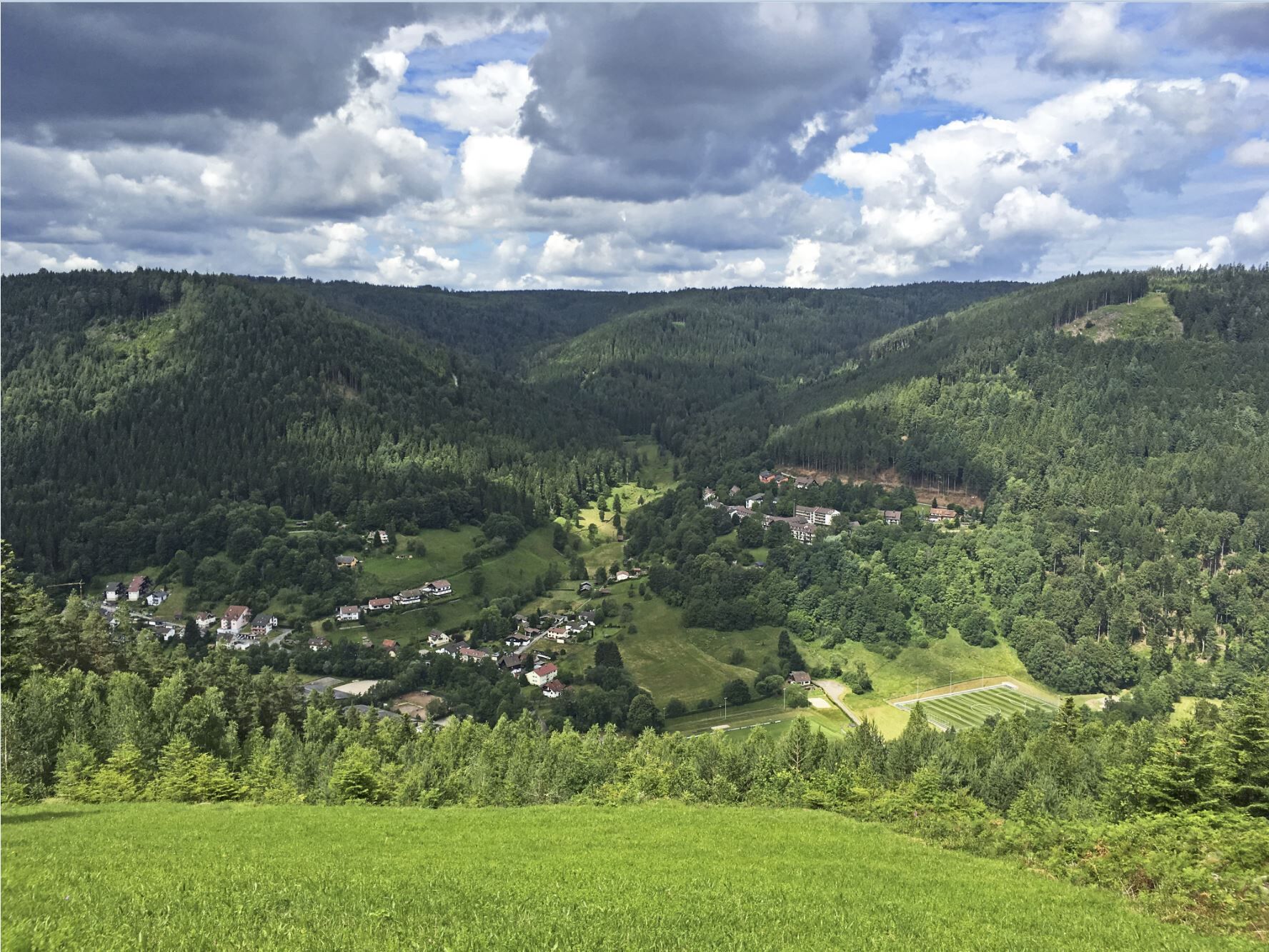
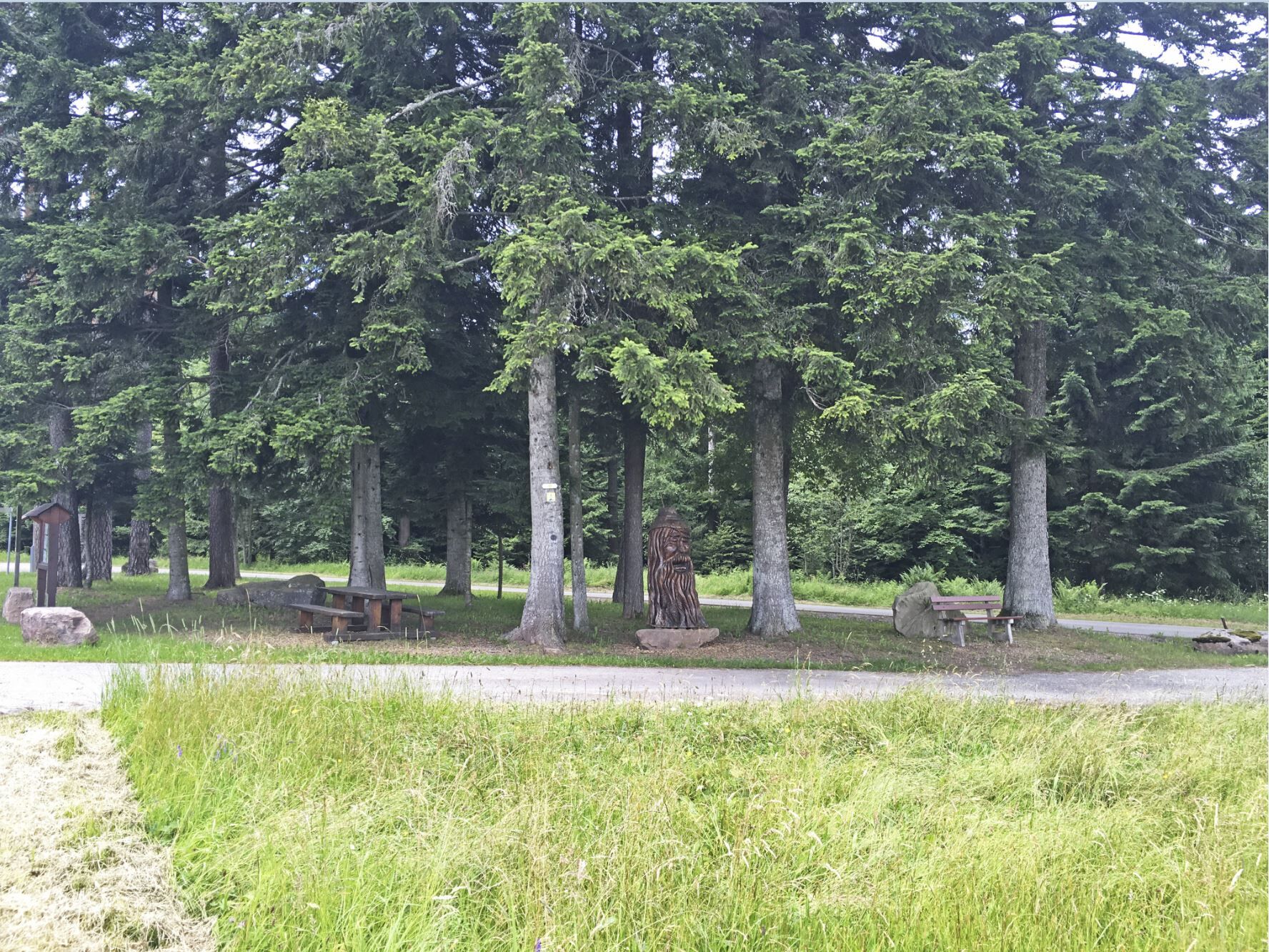
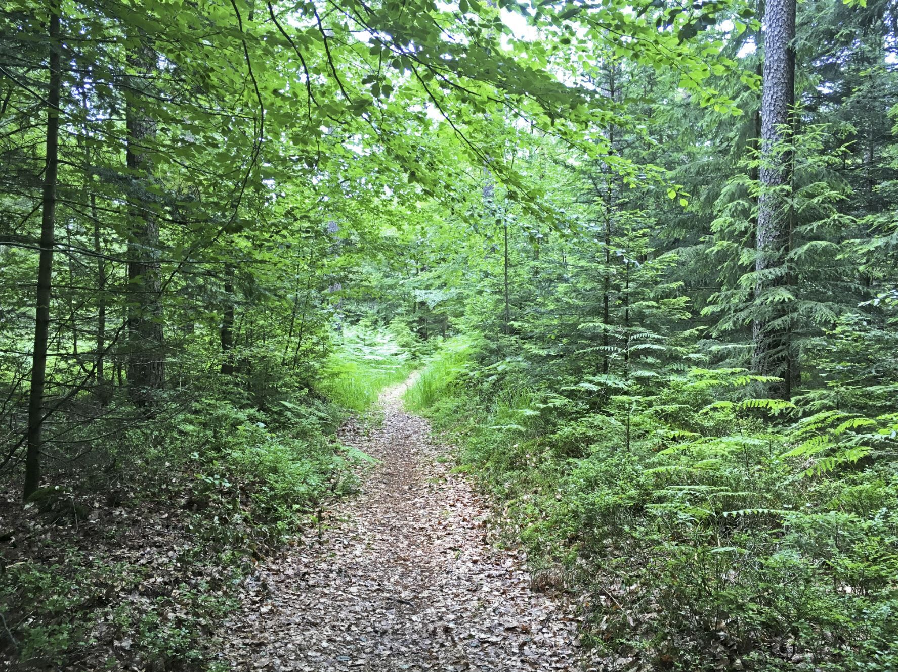
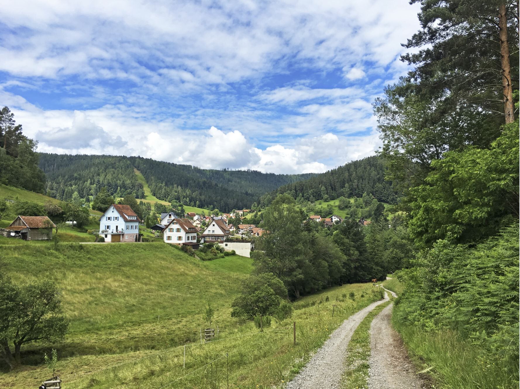

We start our route in Bad Wildbad at the train station. Head out towards the roundabout at the shopping center. At the roundabout, take the first exit onto Calmbacher Straße. After 80m turn left. Continue on Laienbergstraße. At the fork at km 1.1, keep left and then immediately (20m) keep right. The road turns into a forest path at km 1.6.
At km 2.6 at the fork keep right. After the short descent at km 3.6 turn right and follow the path uphill. Turn right at the intersection at km 4.2. After 1 km at the intersection keep left. Continue uphill below the Meisternkopf mountain. Uphill on the left side at km 6.2. After another 400m turn right. We follow the path straight ahead until km 11. At the intersection here turn right (DO NOT take the sharp right!). Then immediately keep left. At the fork 800m further keep right. At the next fork (km 13.3) keep left. Continue straight ahead at km 14.1.
The path leads into Meistern onto Schönblickstraße. Continue on the left and follow Gartenstraße to the hiking parking lot (km 15.6). Here turn left. After 100m keep right. Keep left at km 16.9. Turn right after another 600m. We come out above Hünerberg and turn right at km 18.3. Continue straight ahead until km 19.1. Here the path merges into a trail. Follow this until the road at km 19.3.
CAUTION DANGER SPOT when crossing the road!!! (Please enjoy the trail carefully and cross the road.)
After crossing the road, continue on the trail to the upcoming forest path. Take this to the left and then immediately keep right. The path crosses the Schulweg road. At Freudenstädter-Straße keep left and continue towards the center of Aichelberg. At km 20.2 turn right and follow the path slightly uphill, past the church with adjoining cemetery. After 1 km keep left. Follow the path downhill to Enzkösterle (km 22.5).
In Enzklösterle turn left onto L351 and after 50m turn right onto Friedenstraße. This leads into Hirschtalstraße. Follow this until km 25.3. Then it turns into a forest path and continues along the Hirschbach stream. Keep right at km 26.3. After another 400m keep right again. At km 27.7 turn left. After 700m keep left again. After 29 km of our shared route turn right. Continue straight for the next 2.7 km and then turn left. Then we pass under the Kaltenbronn ski lifts.
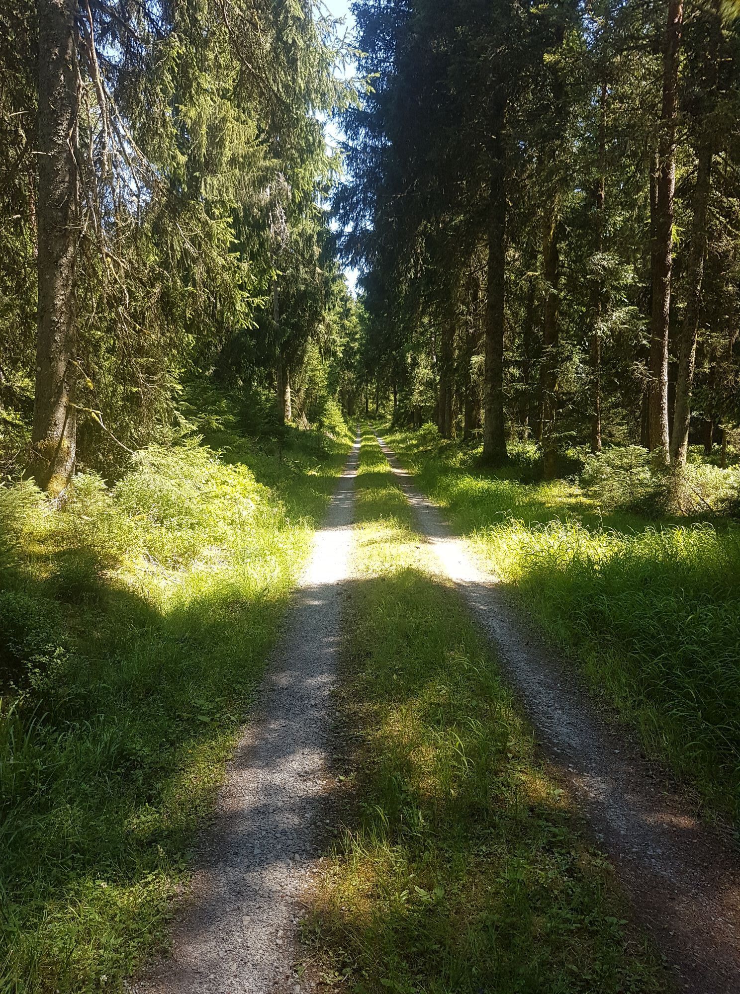
Continue straight ahead and past the Hohlohturm below until you reach L76b (km 34.3). We cross L76b and continue on the Mittelweg towards Kreuzlehütte / Teufelsgrab. At km 35.5 go straight on the ridge path to Kreuzlehütte. At the end of the path turn right and at the fork immediately keep left. Keep left at km 37.3. After 500m keep right.
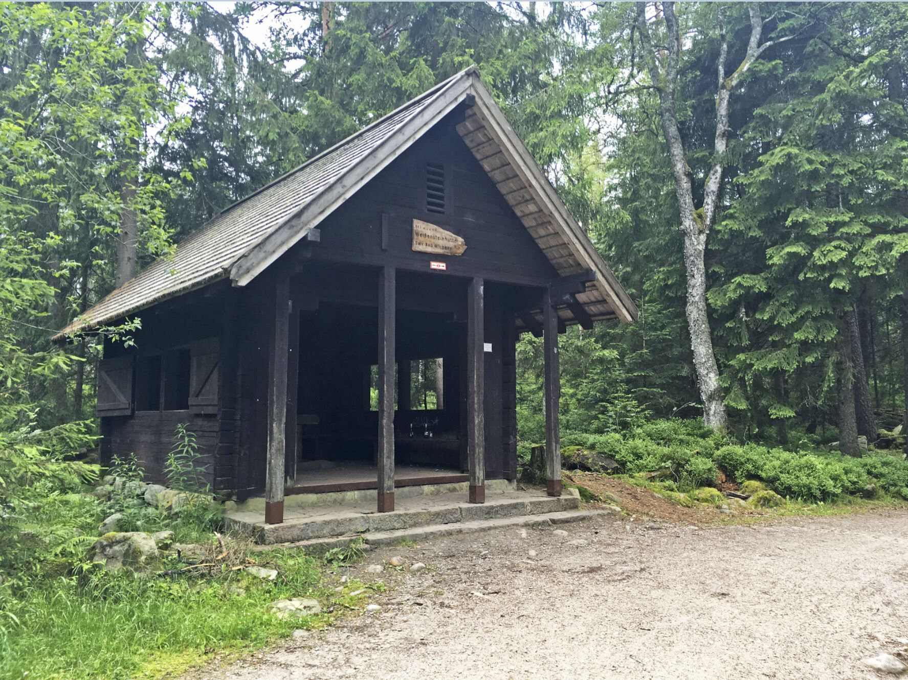
This section goes along the nature reserve (the Wild- and Hornsee lakes lie within this area). At Weißensteinhütte follow the path left. Continue straight ahead until km 41.1. Here keep left. After 800m keep right. At the intersection (km 43.6) slightly keep right. We follow the path for 1.5 km and then keep right. Then immediately keep right again. At Brunnen-Hütte turn right onto a rough forest path downhill (km 47). Here we also cross the downhill track (Danger spot - downhill riders have right of way here!).
Follow this path downhill until it merges with the Panoramastraße in Bad Wildbad. Turn left onto Bätznerstraße at km 48.5. Follow the road downhill to the roundabout. Leave the roundabout at the second exit. Then take the next left back to the starting point Bad Wildbad train station.
Ano
Hardtail or e-mountain bike
Weather-appropriate clothing
Helmet
Provisions
GPS device recommended
Helmet mandatory!
Traffic regulations apply!
Caution when crossing K 4366!!
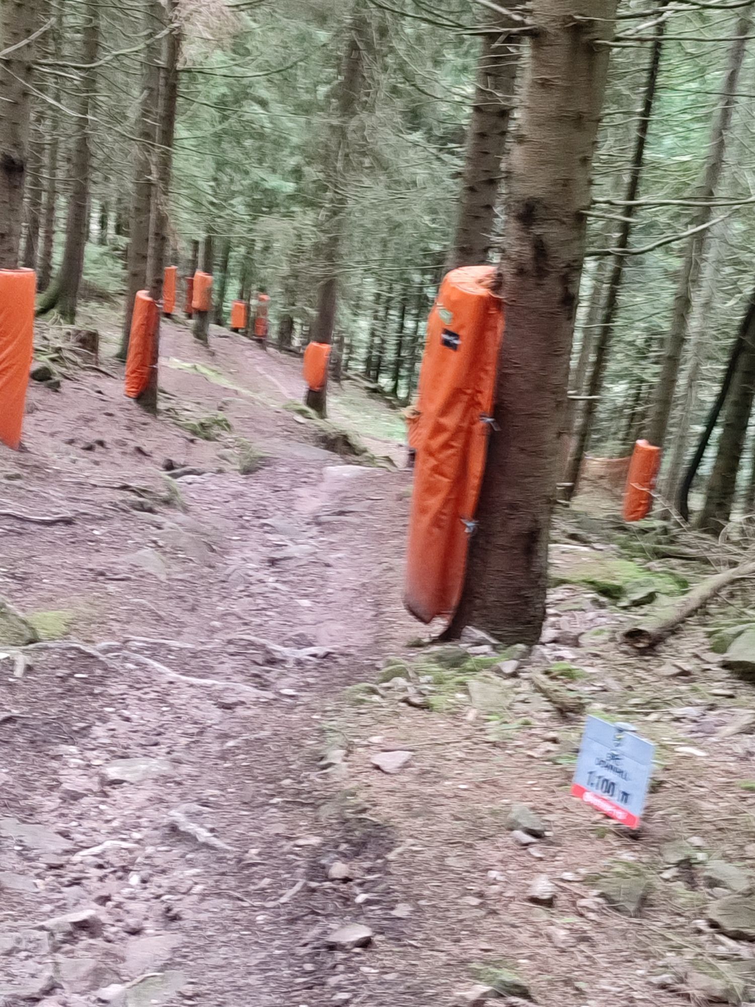
Caution when crossing the downhill track!!! Downhill riders have priority here!
From the north: it is best to take the A 8 Karlsruhe-Stuttgart motorway, exit at Pforzheim-West, then continue on B 294 and L 351.
From the east and southeast: reach Bad Wildbad via the A 81 Stuttgart-Singen motorway, exit Böblingen-Hulb, then continue via Calw and on B 296 to Hirsau, Oberreichenbach and Bad Wildbad.
From the west and southwest (Rhine valley): leave A 5 Basel-Karlsruhe at Baden-Baden or Rastatt and then drive via Gernsbach and Kaltenbronn to Bad Wildbad.
By long-distance trains of DB via Karlsruhe or Stuttgart to Pforzheim and further with the S-Bahn line S6, the Enz Valley Railway, to Bad Wildbad.
At the train station or in one of the designated parking garages.
Caution with roof racks when entering a parking garage!
S1
A rest with a great view awaits at the Hohlohturm (also called Kaiser Wilhelm Tower)
 Získejte přehled Vždy živě na místě s více než 9 500 webkamerami. bergfex Jako uživatel Pro si nyní můžete zobrazit odpovídající webové kamery pro mnoho prohlídek v aplikaci prohlídky z. Můžete si tak přímo prohlédnout aktuální podmínky.
 Oblíbené prohlídky v okolí
- 5.0
Circular route via spring nature trail and Wurstberg
světloTuristika 8.08 km - 4.8
Eyach round
středníTuristika 7.84 km - 4.2
Kaltenbronn Circular Route No. 1 - Wildsee Moor Loop
světloTuristika 8.30 km - 4.7
premium hiking trail Enzquellenpfad
středníTuristika 19.9 km - 2.7
Genießerpfad zum Panoramastüble
Turistika 10.6 km - 3.0
Dobel High-Altitude Route
středníTuristika 11.8 km - 4.3
Nature experience tour Kaltenbronn
středníTuristika 14.2 km - 4.0
Eiszeit-Tour
Turistika 11.7 km - 4.8
Weisenbacher Steig (Rechts der Murg)
středníTuristika 17.6 km AugenBlick route Bad Herrenalb Schweizerkopf
středníTuristika 15.5 km
Pěší turistika a stopování


Nenechte si ujít nabídky a inspiraci pro vaši příští dovolenou
Vaše e-mailová adresa byl přidán do poštovního seznamu.





