Navigace na stránkách
Pořiďte si tuto prohlídku do mobilního telefonu
Mapa
Schaffhauserland Bike. Cross-border mountain bike route
střední
Mountainbike
161.27 km
Naskenujte QR kód a spusťte navigaci v aplikaci bergfex.
QR Code
Pěší turistika a stopování
Stáhnout pro iOS
Stáhnout pro Android

Schaffhauserland Bike. Cross-border mountain bike route

Mapa
Vzdálenost
161.3 km
Doba trvání
17:30 h
Ascent
2829 hm
Hladina moře
361 - 918 m

Úroveň obtížnosti: S2
Stažení skladby
Mapa
Schaffhauserland Bike. Cross-border mountain bike route
střední
Mountainbike
161.27 km

On the Schaffhauserland Bike route, you are at the very top of Switzerland and can discover the north – including the northernmost point of Switzerland, the Black Stone! The core of the route is the Randen,...

Popis
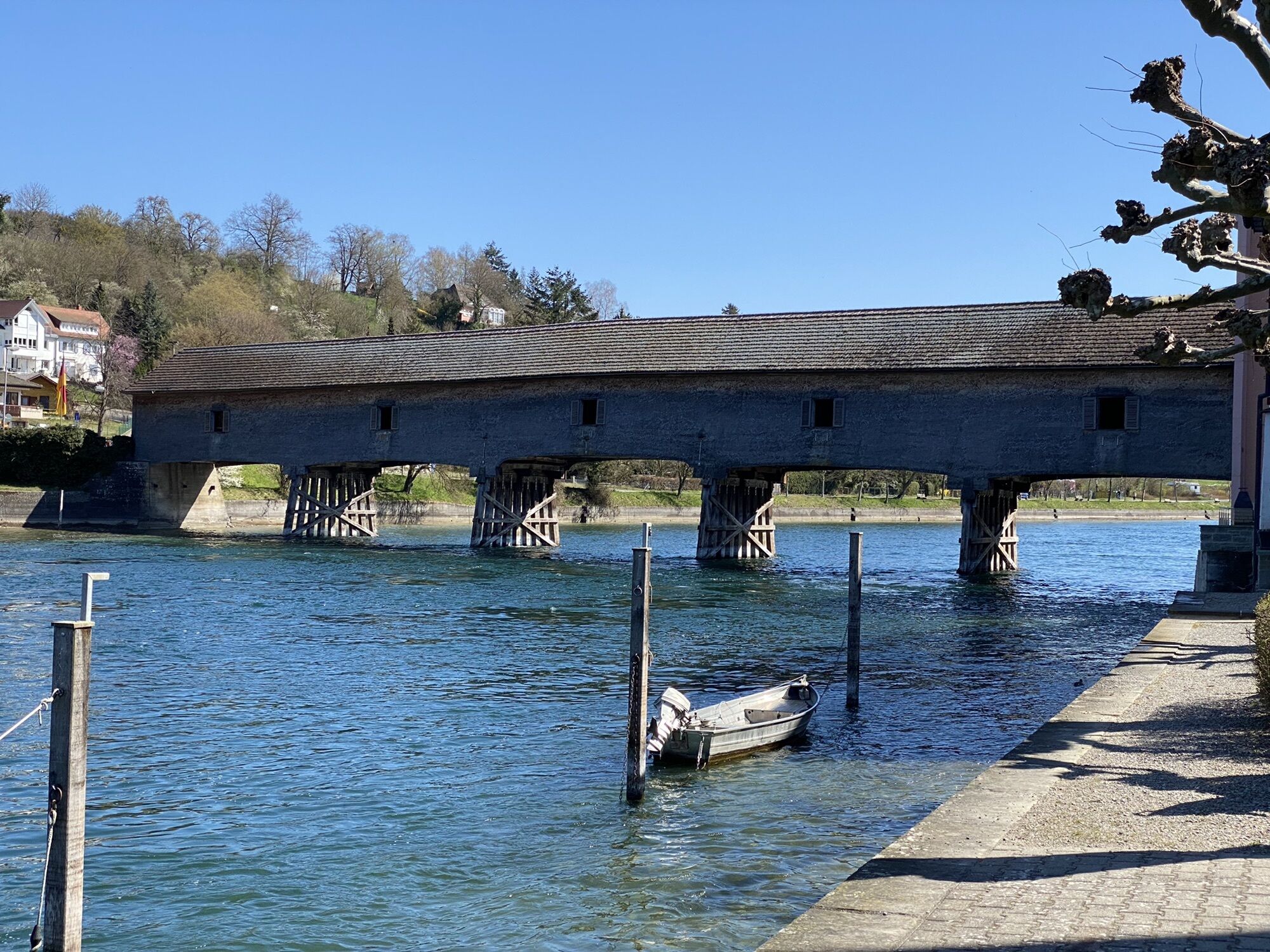
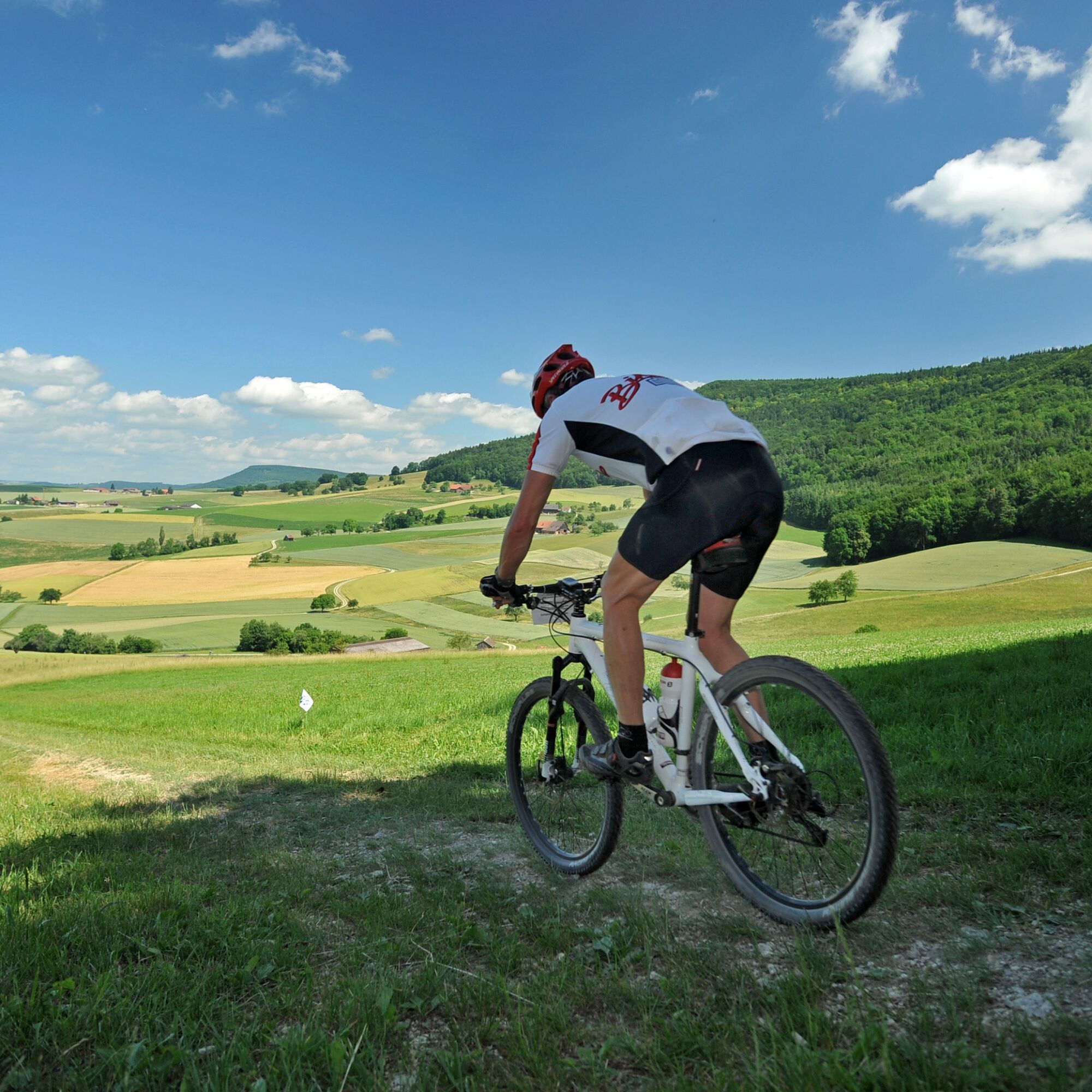
On the Schaffhauserland Bike route, you are at the very top of Switzerland and can discover the north – including the northernmost point of Switzerland, the Black Stone! The core of the route is the Randen, the rather unknown and partly wild Jura foothill. The entire cross-border circular route allows exploration of the landscapes north and south of the Rhine – away from the usual traffic axes.

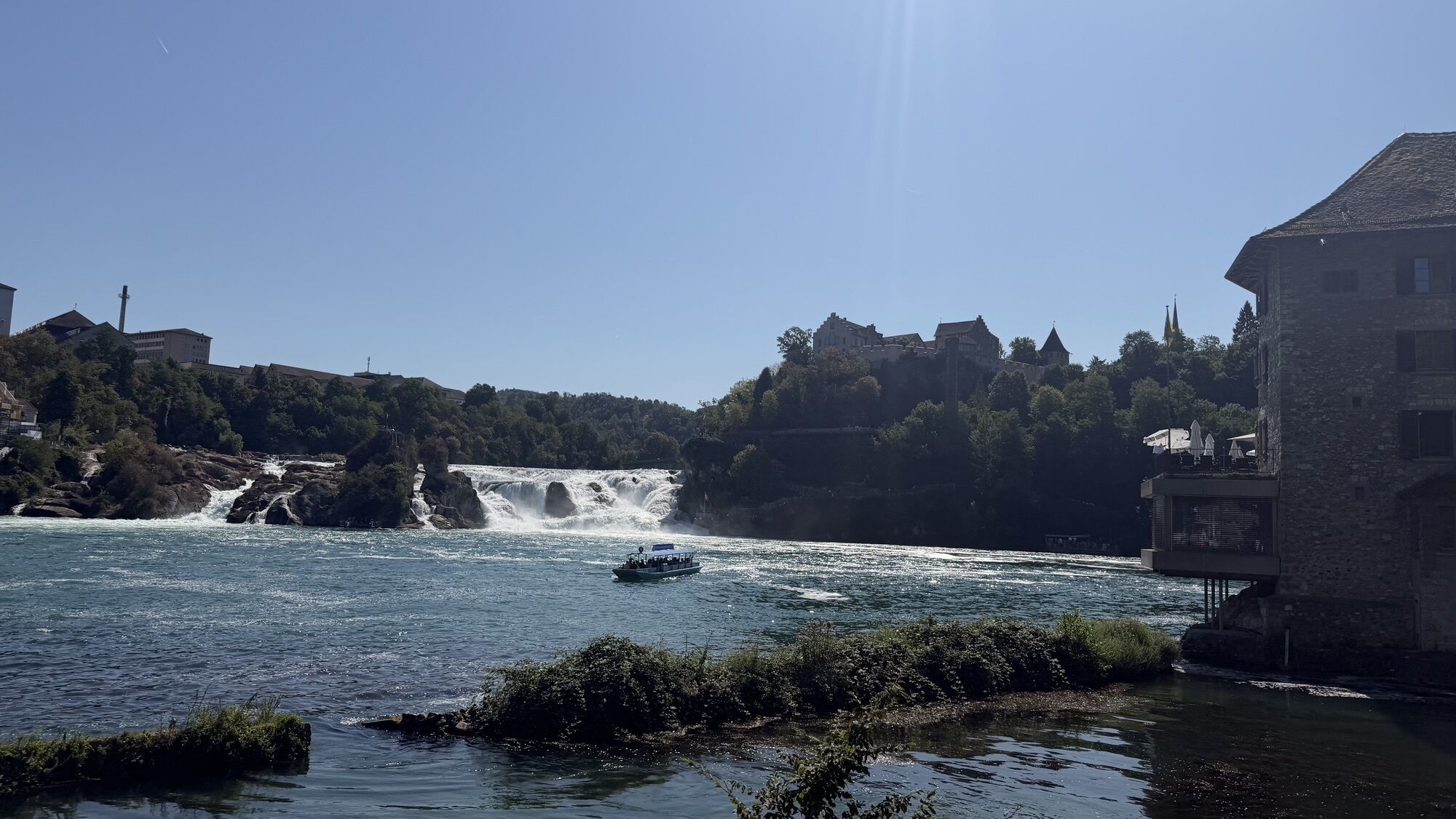
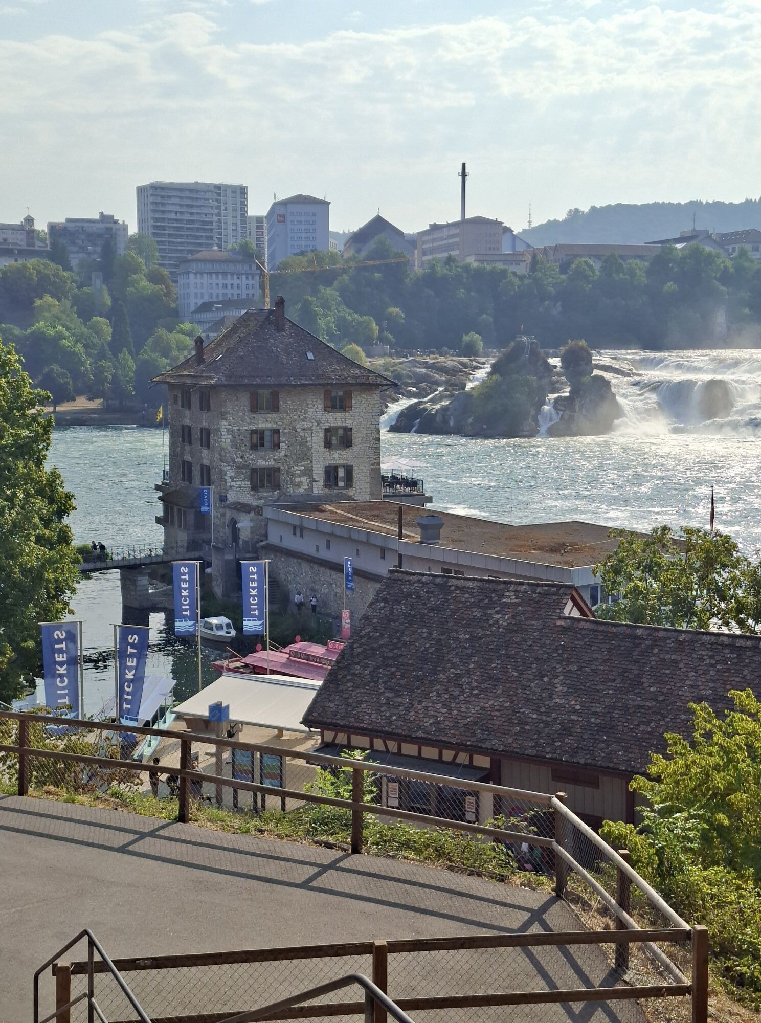
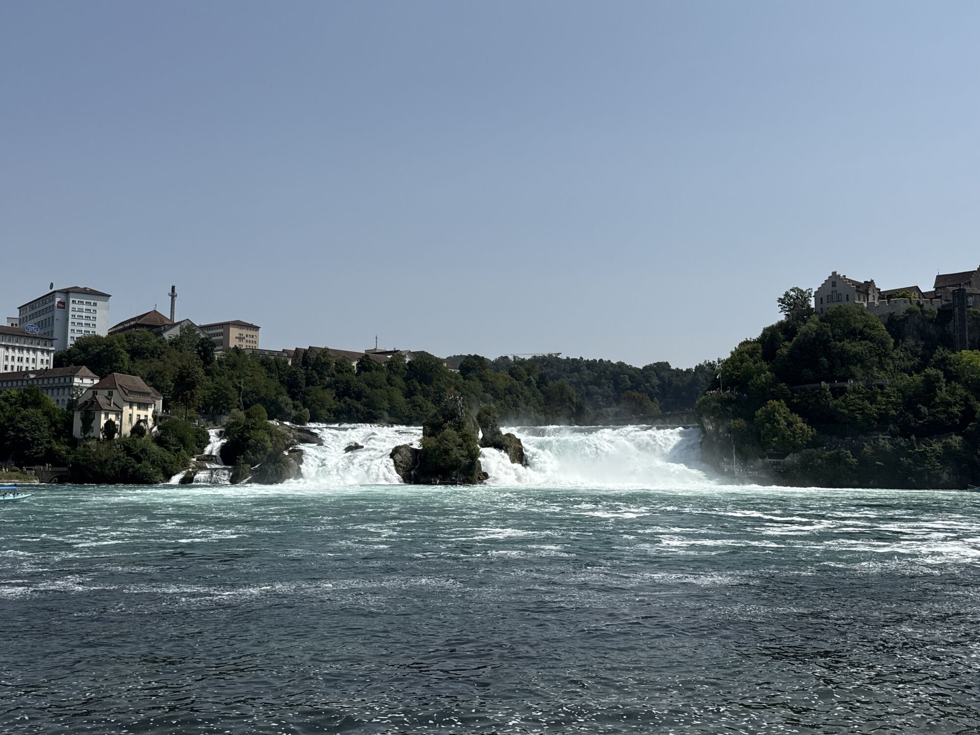
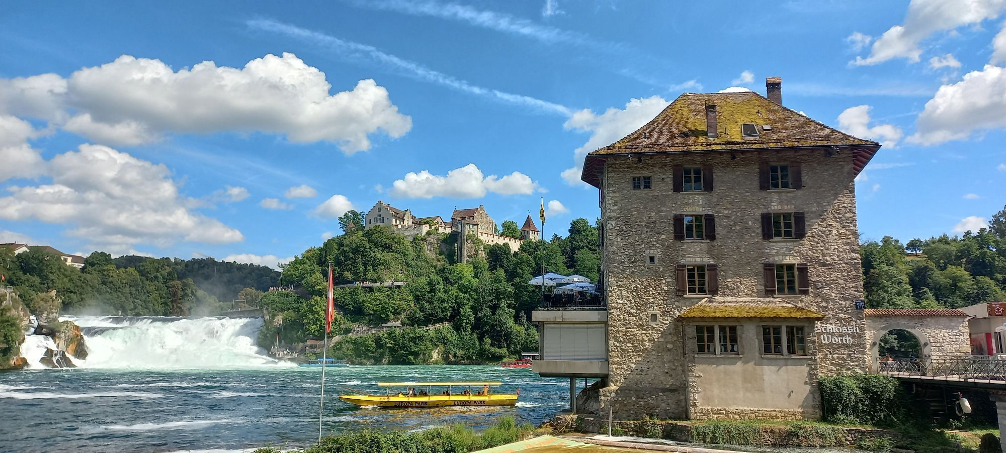
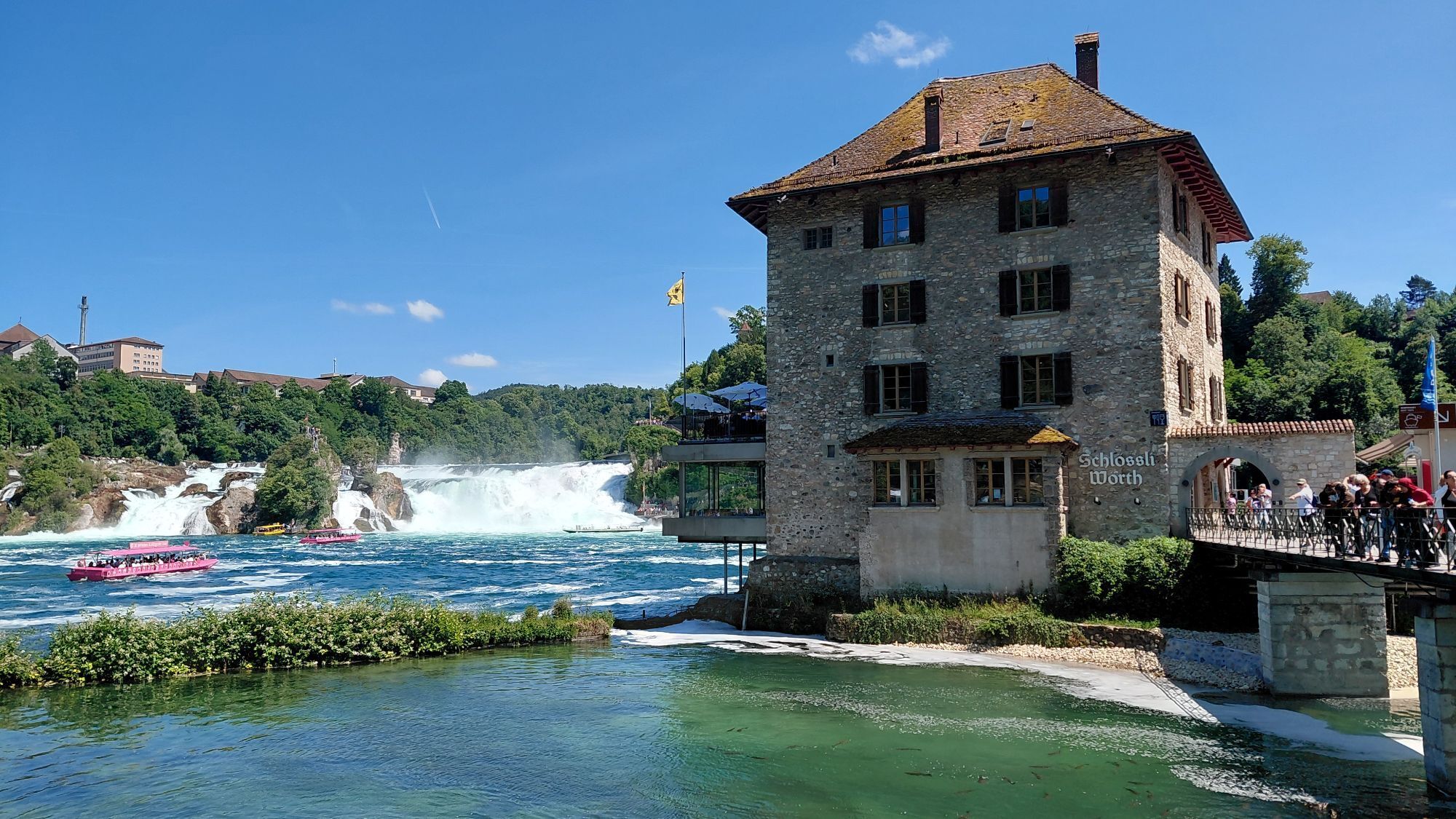
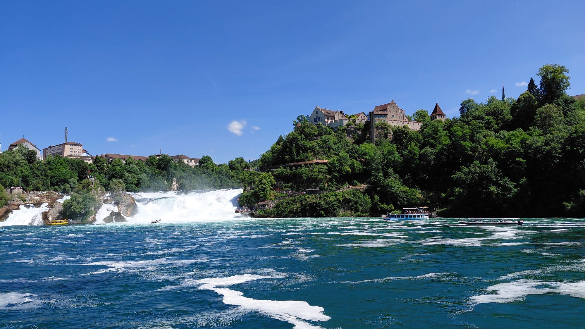
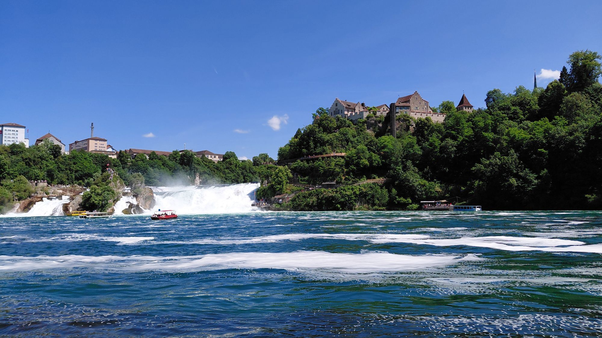
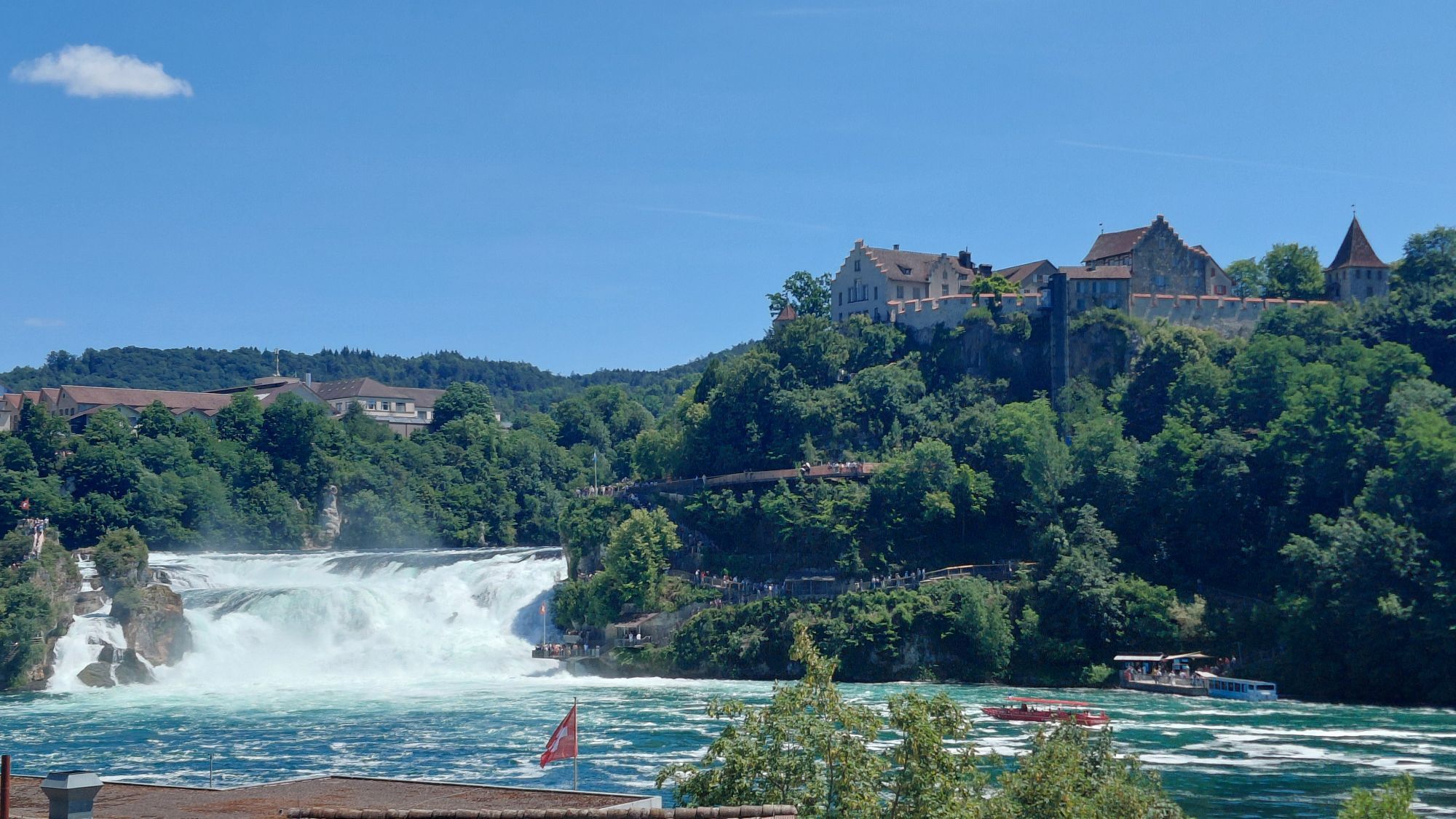
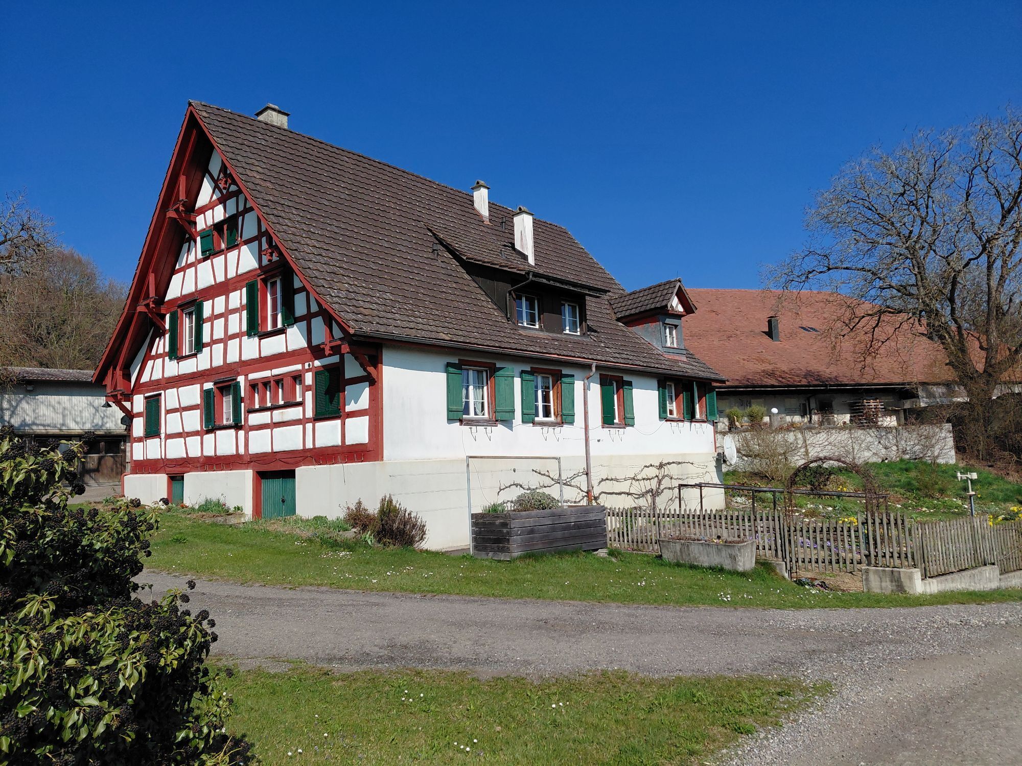
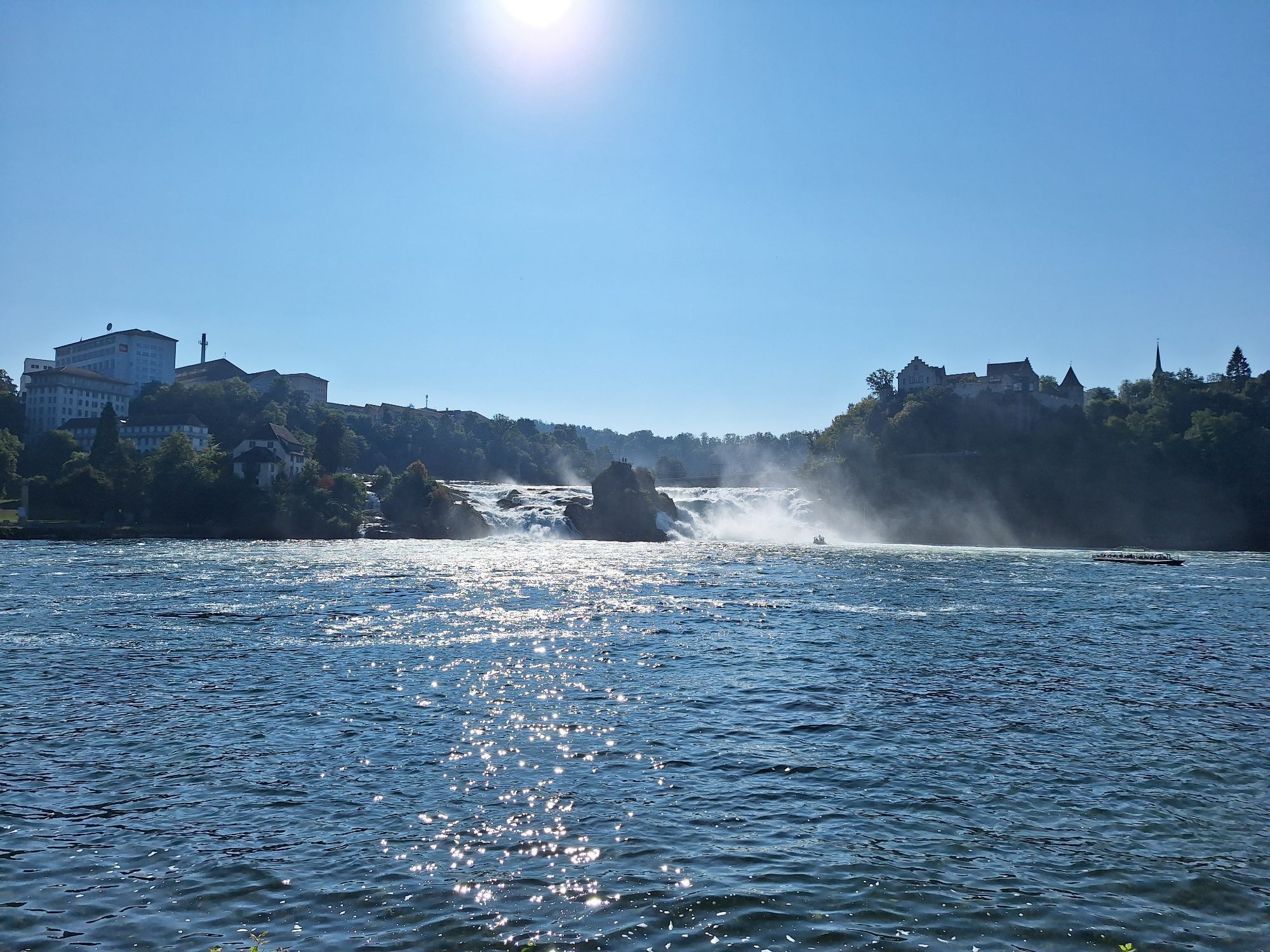
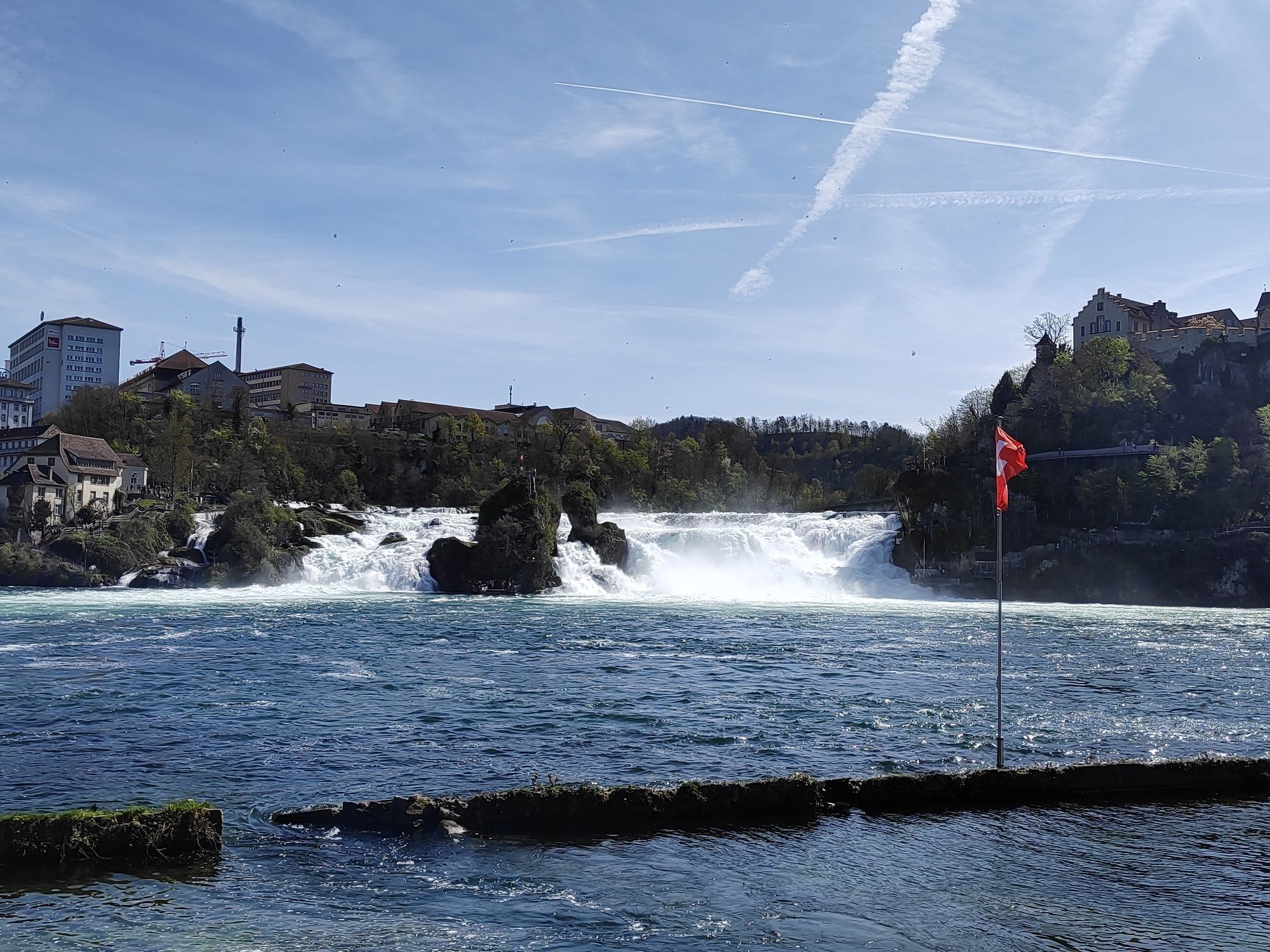
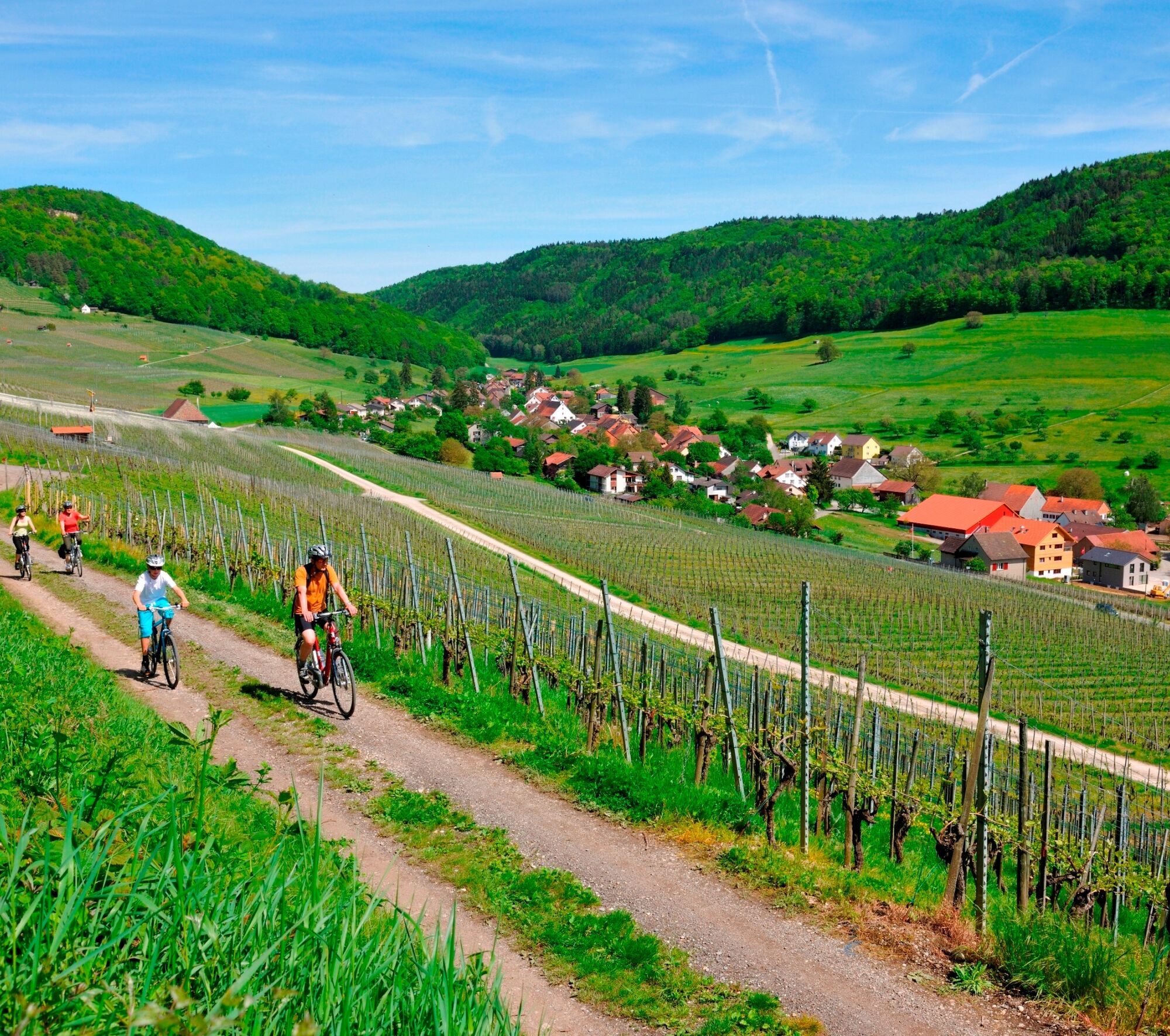
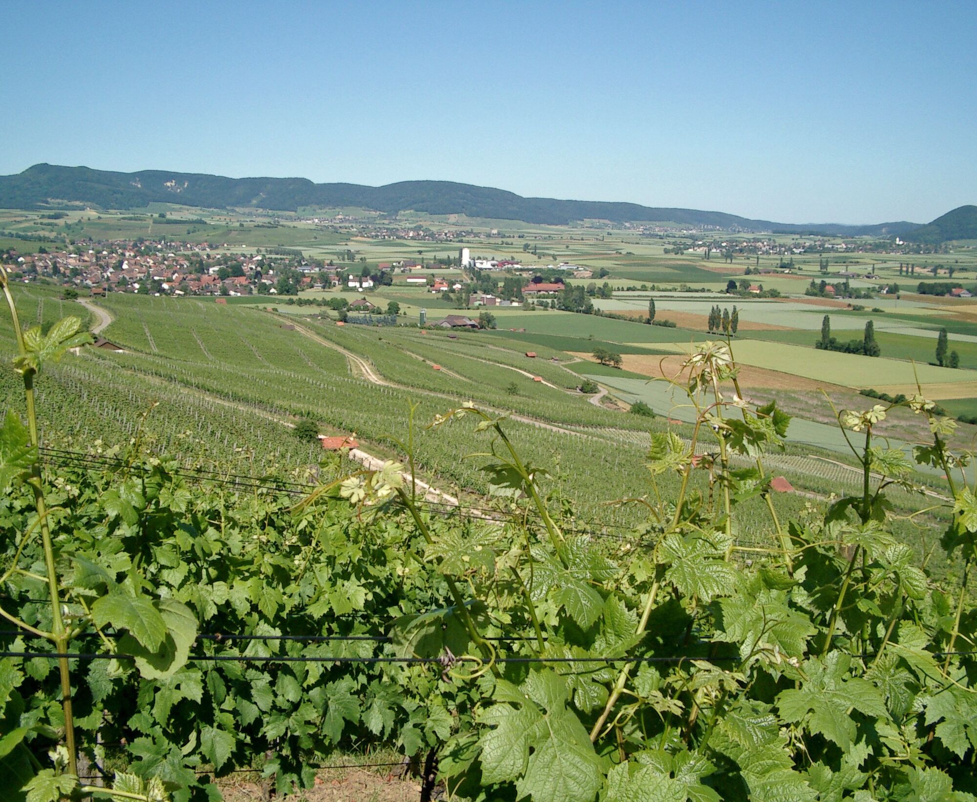
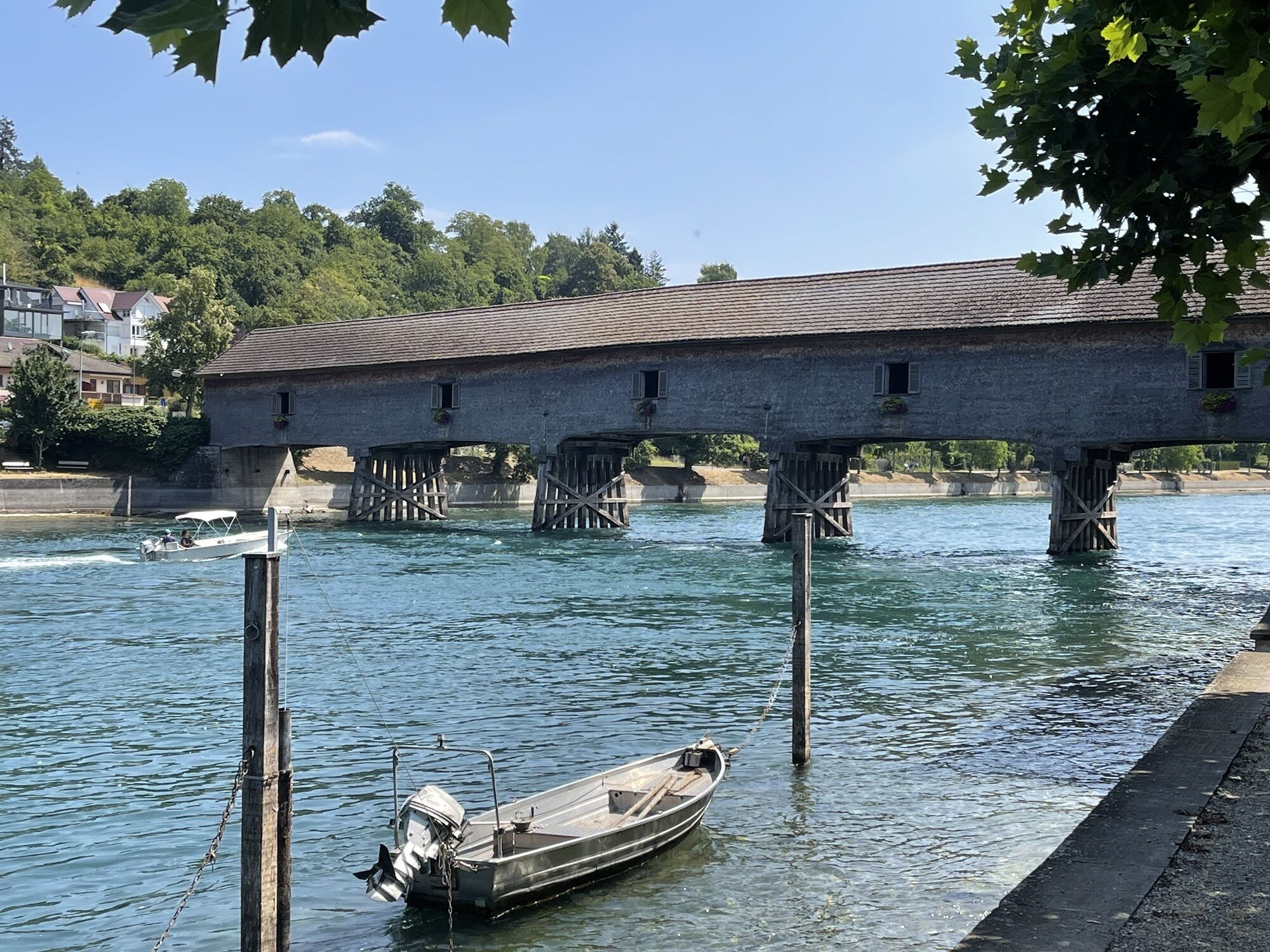
Highlights are abundant. North of the Rhine, these include the roaring Rhine Falls (Europe's largest waterfall), the Schaffhauser Blauburgunderland with the largest vineyard area in German-speaking Switzerland in the Klettgau, views of the Alpine chain from the Randen towers, or wide views into the Southern Black Forest and the Hegau with its volcanic cones. South of the Rhine, the route passes through picturesque villages in the cantons of Thurgau and Zurich, with magnificent half-timbered houses, over gentle hills and past idyllic lakes and ponds.

Trasa
Reformierte Kirche Opfertshofen
(566 m)
Místo konání bohoslužeb
24.8 km
Hagen
(912 m)
Summit
39.9 km
Chrisling
(834 m)
Summit
54.4 km
Reformierte Kirche St. Jakob
(446 m)
Místo konání bohoslužeb
88.4 km
Cholfirst
(575 m)
Summit
111.6 km
Sangibuck
(465 m)
Summit
125.4 km
St. Maria und St. Genesius
(601 m)
Místo konání bohoslužeb
148.6 km
Trasa
Mapa
Schaffhauserland Bike. Cross-border mountain bike route
střední
Mountainbike
161.27 km
Besenwirtschaft Zolg
(489 m)
Restaurace
0.7 km
Obergailingen
(406 m)
Vypořádání
3.6 km
Diessenhofen
(404 m)
Vesnice
5.3 km
Dörflingen
(451 m)
Vesnice
8.9 km
Haselrichti
(464 m)
Koridor/terén
10.7 km
Hängschtacker
(464 m)
Koridor/terén
11.0 km
Thayngen
(437 m)
Vesnice
15.0 km
Schlatt am Randen
(539 m)
Vesnice
18.8 km
Niederhard-Reiat
(538 m)
Úhel pohledu
20.6 km
Hofen SH
(474 m)
Vesnice
22.0 km
Altdorf SH
(518 m)
Vesnice
24.3 km
Reformierte Kirche Opfertshofen
(566 m)
Místo konání bohoslužeb
24.8 km
Opfertshofen SH
(566 m)
Vesnice
25.0 km
Kirchstetten
(625 m)
Sousedství
27.0 km
Pfarrkirche Herz Jesu
(645 m)
Místo konání bohoslužeb
27.1 km
Gasthaus zur Sonne
(643 m)
Restaurace
27.3 km
Wiechs am Randen
(643 m)
Vesnice
27.6 km
Neuhaus am Randen
(763 m)
Vypořádání
33.0 km
Tian-Fu
(764 m)
Restaurace
33.1 km
Hagenhütte
(898 m)
Útočiště (neřízené)
39.7 km
Hagen
(912 m)
Summit
39.9 km
Hagenturm
(909 m)
Úhel pohledu
40.2 km
Hagen
(909 m)
Útočiště (neřízené)
40.2 km
Talisbänkli
(838 m)
Horský průsmyk
45.0 km
Restaurant Frohsinn
(582 m)
Restaurace
49.8 km
Hemmental
(563 m)
Vesnice
50.2 km
Uf der Stig
(677 m)
Úhel pohledu
51.8 km
Chrisling
(834 m)
Summit
54.4 km
Ebenhau
(840 m)
Summit
55.2 km
Randenhaus
(830 m)
Koridor/terén
55.3 km
Strickhof
(580 m)
Vypořádání
63.8 km
Ref. Kirche Schleitheim
(484 m)
Místo konání bohoslužeb
66.0 km
Gasthaus zur Brauerei
(474 m)
Restaurace
66.1 km
Löwen
(472 m)
Restaurace
66.2 km
Schleitheim
(467 m)
Vesnice
66.2 km
Hallau
(421 m)
Vesnice
73.8 km
Giiger
(468 m)
Koridor/terén
75.2 km
Berghaus
(567 m)
Koridor/terén
77.4 km
Trasadingen
(403 m)
Vesnice
79.8 km
Rest. Gemeindehaus
(427 m)
Restaurace
83.6 km
Wilchingen
(419 m)
Vesnice
83.7 km
Gwelb
(423 m)
Vypořádání
83.7 km
Rest. Trauben
(424 m)
Restaurace
83.8 km
Reformierte Kirche St. Othmar
(466 m)
Místo konání bohoslužeb
84.2 km
Flühhalde (neolithische Höhensiedlung)
(473 m)
Vchod do jeskyně
87.4 km
Bergtrotte Osterfingen
(457 m)
Restaurace
88.0 km
Osterfingen
(438 m)
Vesnice
88.2 km
Reformierte Kirche St. Jakob
(446 m)
Místo konání bohoslužeb
88.4 km
Rossberghof
(625 m)
Restaurace
93.1 km
Neuapostolische Kirche
(448 m)
Místo konání bohoslužeb
98.2 km
Nohl
(382 m)
Vesnice
102.5 km
Anlegestelle Schlösschen Wörth (Linie 1,3A,3B,5)
(359 m)
Přístaviště trajektu
103.0 km
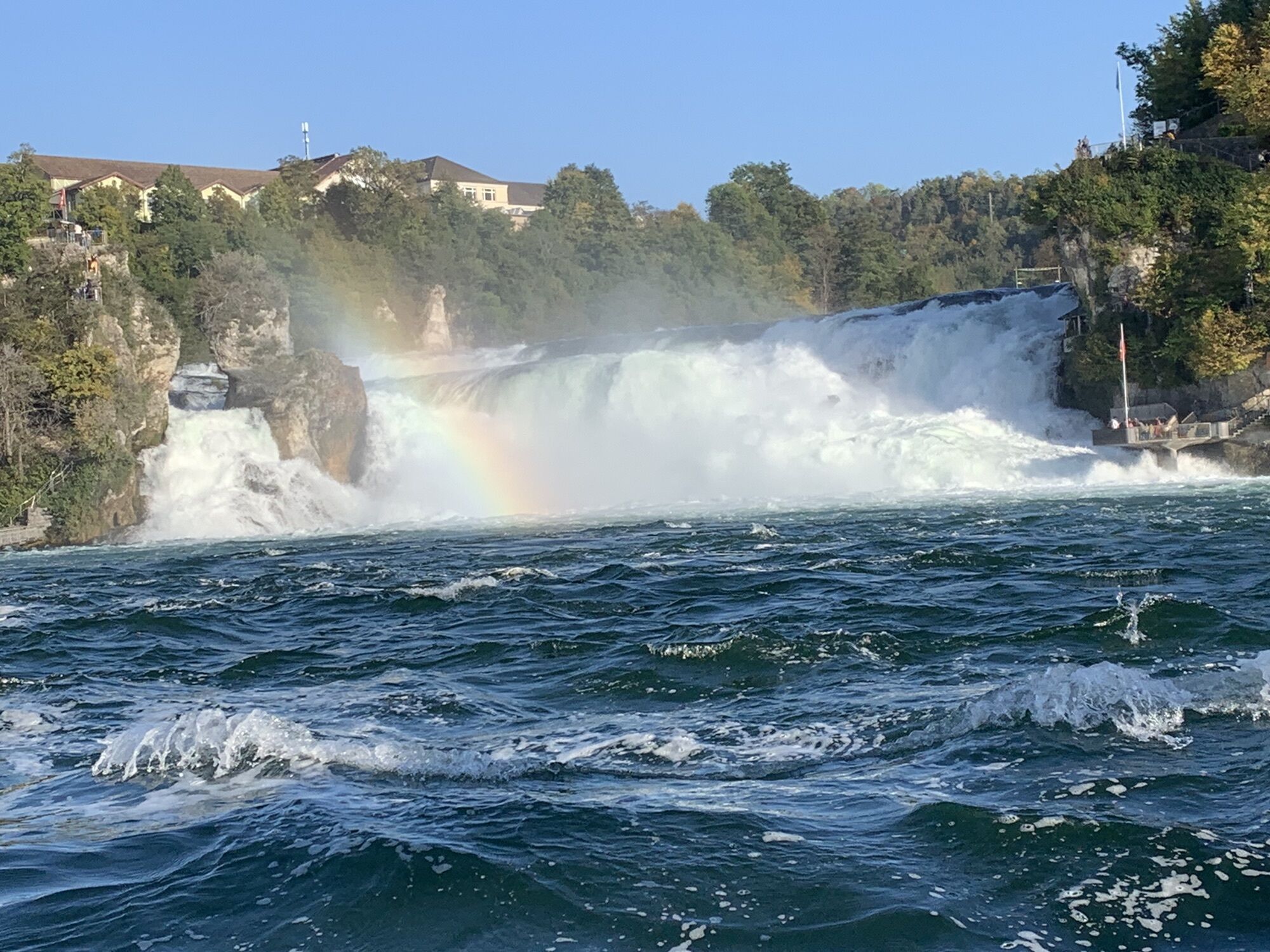
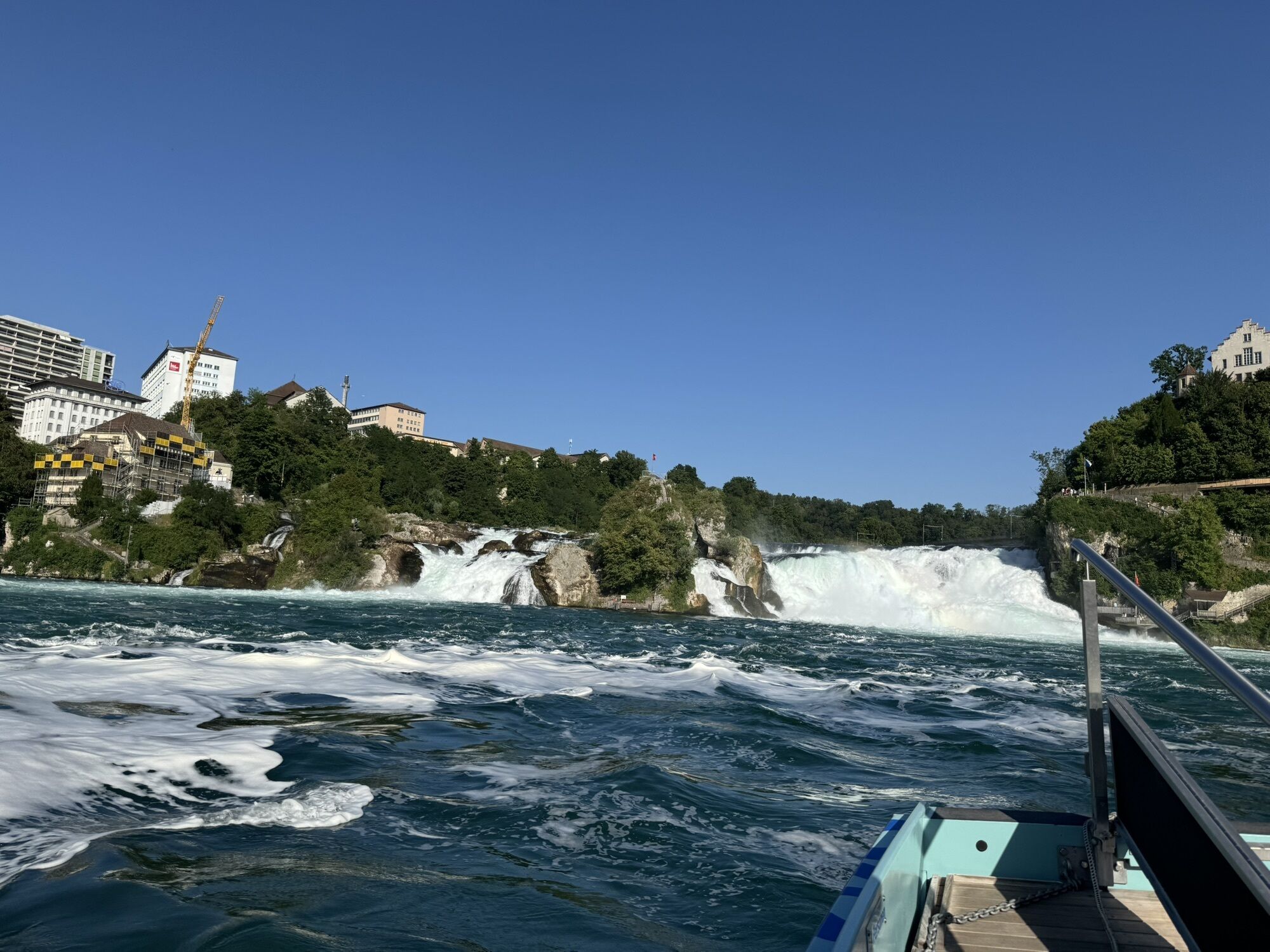
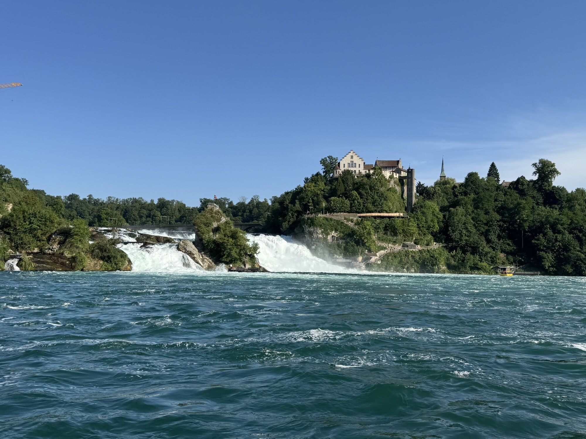
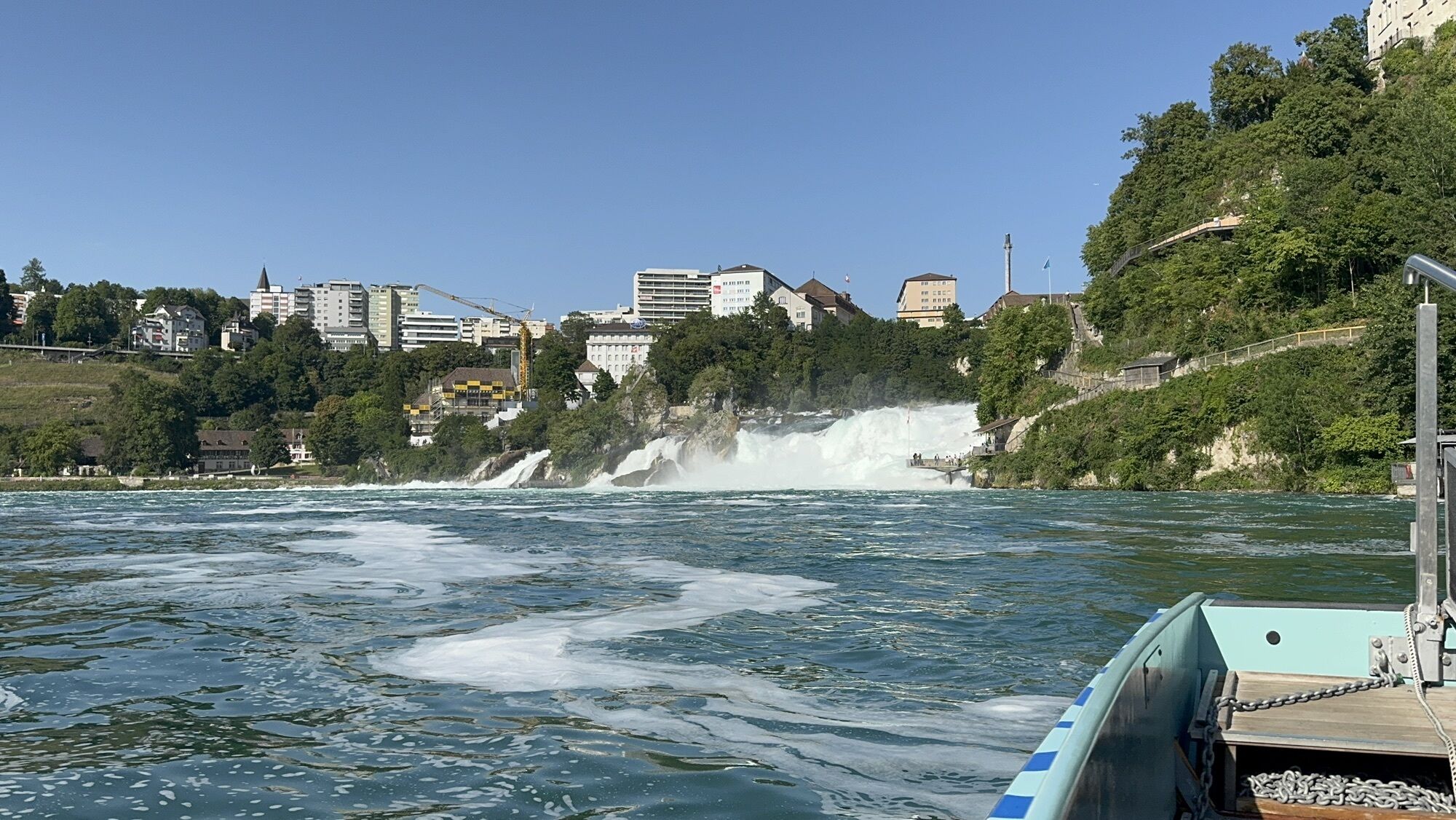
Rhine Falls
(364 m)
Vodopád
103.6 km
Neuhausen
(410 m)
Město
103.9 km
Neuhausen
(397 m)
Železniční stanice
104.9 km
Flurlingen
(413 m)
Vesnice
105.1 km
Neuapostolische Kirche
(387 m)
Místo konání bohoslužeb
105.6 km
Schaffhausen
(403 m)
Město
107.1 km
Feuerthalen
(400 m)
Vesnice
107.6 km
Reformierte Kirche
(430 m)
Místo konání bohoslužeb
108.1 km
Cholfirst
(575 m)
Summit
111.6 km
Hochwacht-Höhle
(548 m)
Vchod do jeskyně
115.4 km
Restaurant Ochsen
(435 m)
Restaurace
118.3 km
Trullikon
(435 m)
Vesnice
118.4 km
Im Berg
(445 m)
Koridor/terén
123.0 km
Ossingen
(421 m)
Vesnice
123.5 km
Thalacker
(423 m)
Restaurace
123.6 km
Sangibuck
(465 m)
Summit
125.4 km
Oberneunforn
(470 m)
Vesnice
127.4 km
Troostbärg
(488 m)
Koridor/terén
128.7 km
Besenbeiz zum Ross-Stall
(506 m)
Restaurace
129.7 km
Uerschhausen
(453 m)
Vypořádání
132.0 km
Helfenberg
(440 m)
Koridor/terén
133.4 km
Im Häldeli
(470 m)
Koridor/terén
134.3 km
Nussbaumen TG
(502 m)
Vesnice
135.5 km
Reformierte Kirche
(512 m)
Místo konání bohoslužeb
135.7 km
Kaltenbach
(442 m)
Vesnice
139.7 km
Wagenhausen
(407 m)
Vesnice
140.6 km
Stein am Rhein
(413 m)
Železniční stanice
141.2 km
Stadtkirche
(402 m)
Místo konání bohoslužeb
141.9 km
Stein am Rhein
(413 m)
Vesnice
142.0 km
Klingenstrasse
(484 m)
Úhel pohledu
143.6 km
Schienen
(611 m)
Vesnice
148.4 km
St. Maria und St. Genesius
(601 m)
Místo konání bohoslužeb
148.6 km
Unterwald
(585 m)
Vypořádání
153.2 km
Oberwald
(596 m)
Vypořádání
154.1 km
Hofgut Oberwald
(597 m)
Restaurace
154.4 km
Petersburg
(418 m)
Vypořádání
158.1 km
Ramsen
(420 m)
Železniční stanice
158.3 km
Ramsen
(413 m)
Vesnice
159.3 km
Restaurant Leon
(413 m)
Restaurace
159.4 km
Informace o prohlídce

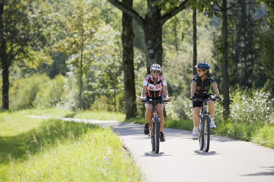
Varied, cross-border mountain bike route in and around the northernmost canton of Switzerland. Vines, Randen, Rhine, with romantic rest stops along the route.

Technologie
3 / 6
Stav
4 / 6
Krajina
5 / 6
Zkušenosti
5 / 6
Nejlepší roční období
Led
Úno
Bře
Dub
Kvě
Čen
Čec
Srp
Zář
Říj
Lis
Pro
Sdílet prohlídku
Mapa
Schaffhauserland Bike. Cross-border mountain bike route
střední
Mountainbike
161.27 km
Chyba
Došlo k chybě. Zkuste to prosím znovu.
Informace o trase
Trasa

Divided into four stages with lengths between 33 and 58 km, the route forms an extended weekend up to a short holiday in the region.

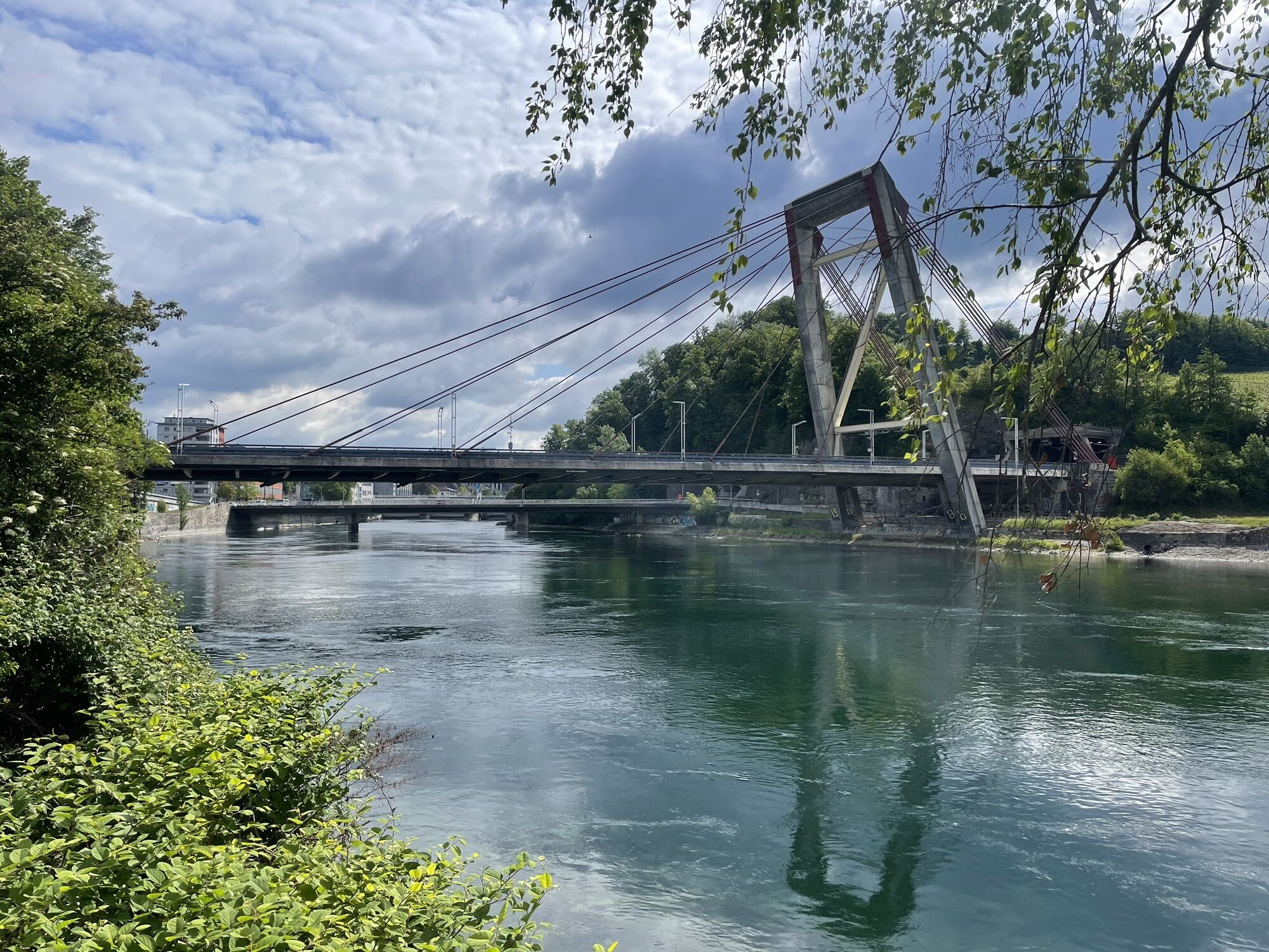
1. Via Rhine Falls and Jestetten (D) over the wooded Rossberg into the sun-soaked Klettgau, the largest wine-growing region of Schaffhausen. Through the pretty villages of Osterfingen, Wilchingen, and Trasadingen along the vineyards to Hallau. A glass of wine is a must. Length: 33 km Height gain: 500m

2. Panoramic road to Schleitheim. Ascent to Siblinger Randenhaus with magnificent Alpine views. Longer king stage over the wild and wooded Randen partly on German soil. Multiple views of the Southern Black Forest and the Hegau volcanic cones. Length: 58 km Height gain: 1,200m

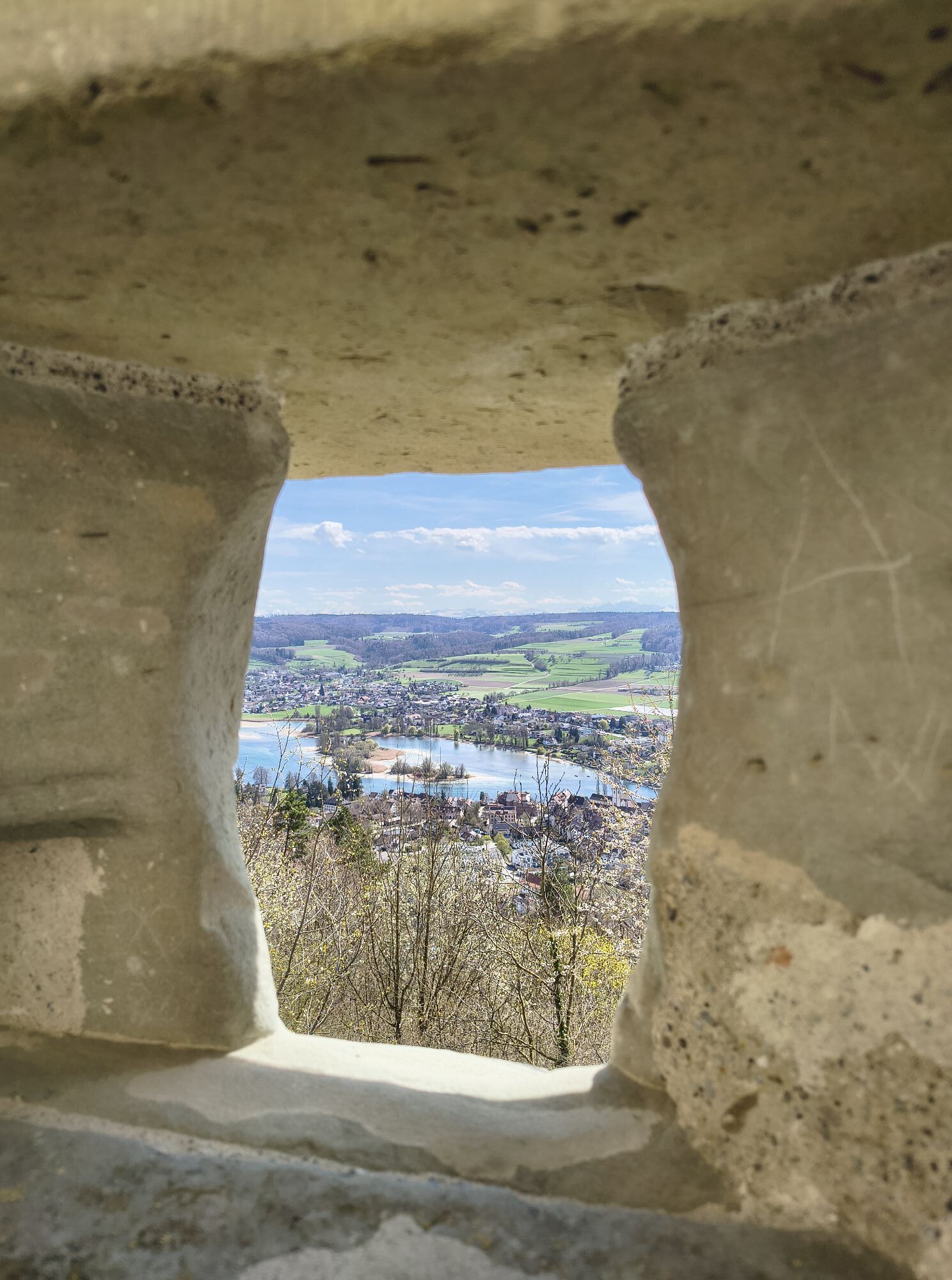
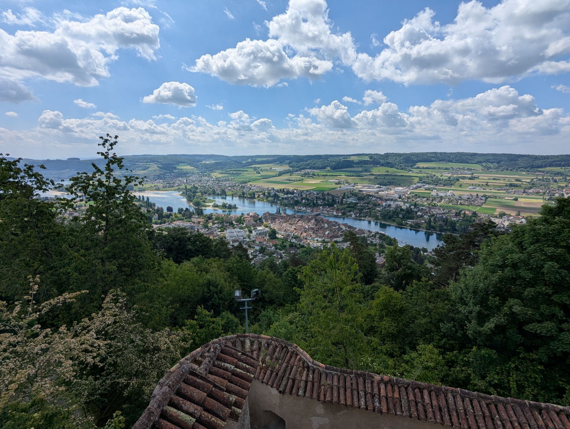
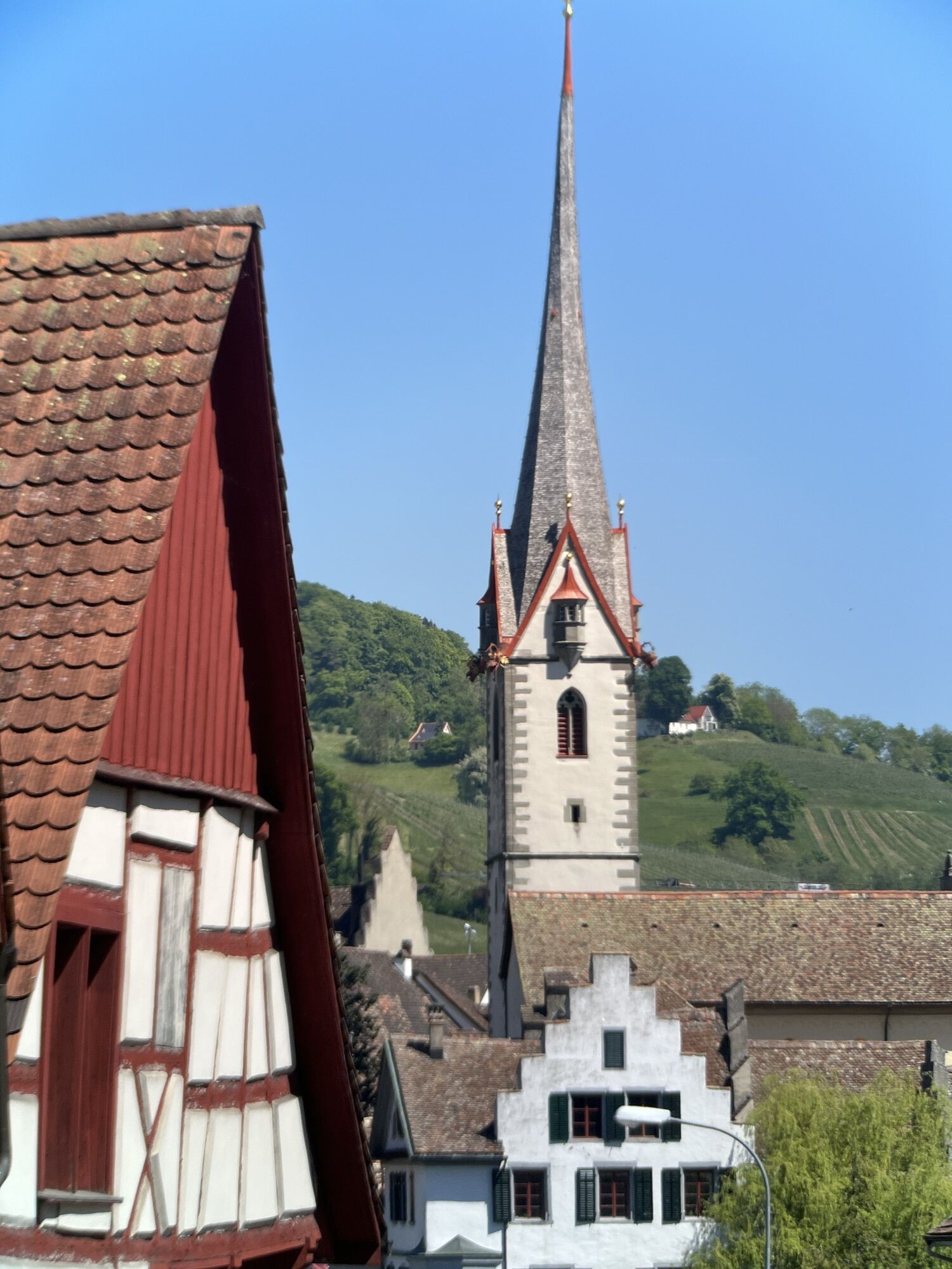
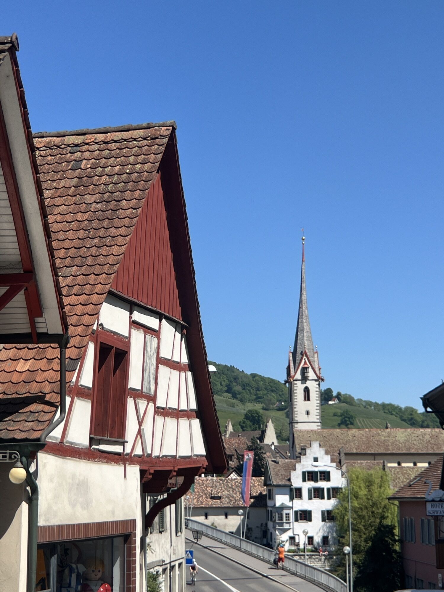
3. Through hilly cultural landscape towards the Rhine, where a refreshment at the Rhine riverside park in Gailingen (D) is an option. Via Ramsen, Schienen (D), with an ascent to proud Hohenklingen Castle. From here, magnificent views to the day's destination, the picturesque medieval town of Stein am Rhein. Length: 34 km Height gain: 560m

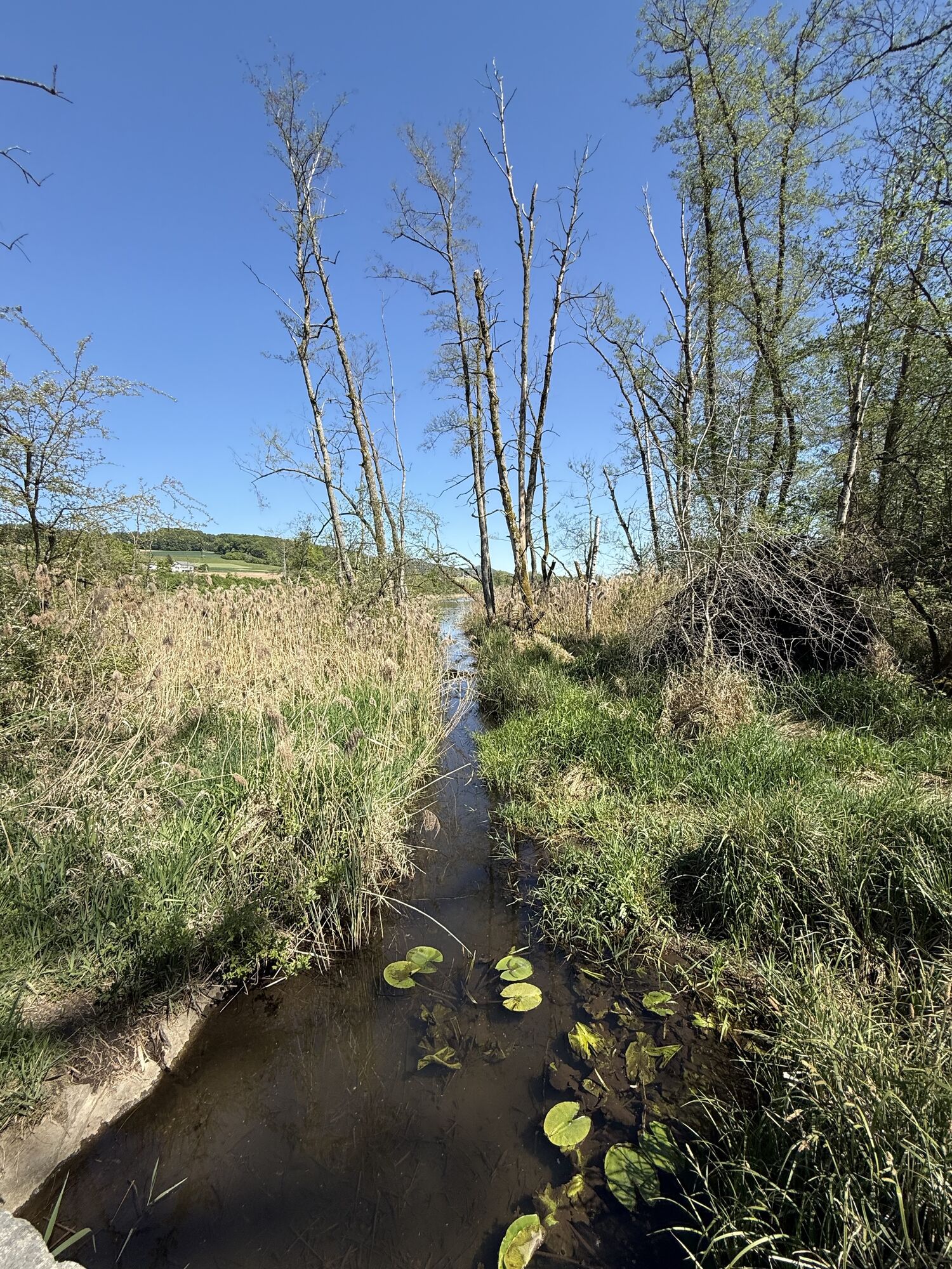
4. Idyllic eastern Swiss villages with half-timbered houses, cozy lakes and ponds accompany this stage. Past Nussbaumer See, Hüttwilersee in Thurgau canton and Husemersee in Zurich's wine country, the route goes through Cholfirst forest to Feuerthalen ZH and into the city of Schaffhausen. Length: 34 km Height gain: 520m

Bezpečnostní pokyny

The route crosses the border: don't forget your ID!

Informace o příjezdu
Příjezd

Motorway to Schaffhausen

Veřejná doprava

By train to Schaffhausen

Parkování

There is a parking garage near the train station.

Další informace a tipy
Úroveň obtížnosti

S2

Tipy

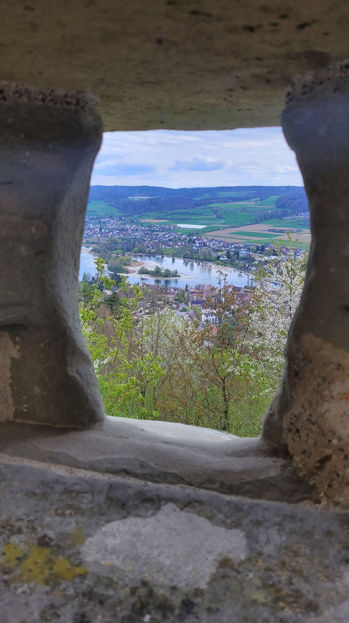
A feast for the eyes is the view from Hohenklingen Castle above the medieval town of Stein am Rhein.

Zatím žádné recenze
Napište recenzi

Recenze pomáhají ostatním uživatelům při výběru dalšího dobrodružství. Hodnoťte prosím pouze prohlídku, nikoli počasí nebo svačinu.

Výběrem jedné z hvězdiček ohodnotíte prohlídku
Špatné turné
Slabé turné
Průměrné turné
Dobrá prohlídka
Vynikající prohlídka
bergfex logoZískejte přehled Vždy živě na místě s více než 9 500 webkamerami. bergfex Jako uživatel Pro si nyní můžete zobrazit odpovídající webové kamery pro mnoho prohlídek v aplikaci prohlídky z. Můžete si tak přímo prohlédnout aktuální podmínky.
Pěší turistika a stopování

Pěší turistika a stopování

ke stažení pro iOSstáhnout pro Android
Pěší turistika a stopování
Více než 550.000 návrhů výletů, podrobné mapy a intuitivní plánovač tras dělají z aplikace nezbytnou výbavu pro všechny milovníky přírody.
bergfex