


Schönwald - High altitude tour
Follow the number 4 - On this easy to moderately difficult tour, you will explore the heights around the birthplace of the cuckoo clock. Numerous natural beauties along the 31 kilometres provide variety,...
Follow the number 4 - On this easy to moderately difficult tour, you will explore the heights around the birthplace of the cuckoo clock. Numerous natural beauties along the 31 kilometres provide variety, but also invite you to rest and linger. Magnificent views, for example after the somewhat challenging ascent to the Schwedenschanze, make up for the effort. "Parc fans" can let off steam on the "Bike Ranch Trail" in Schonach.

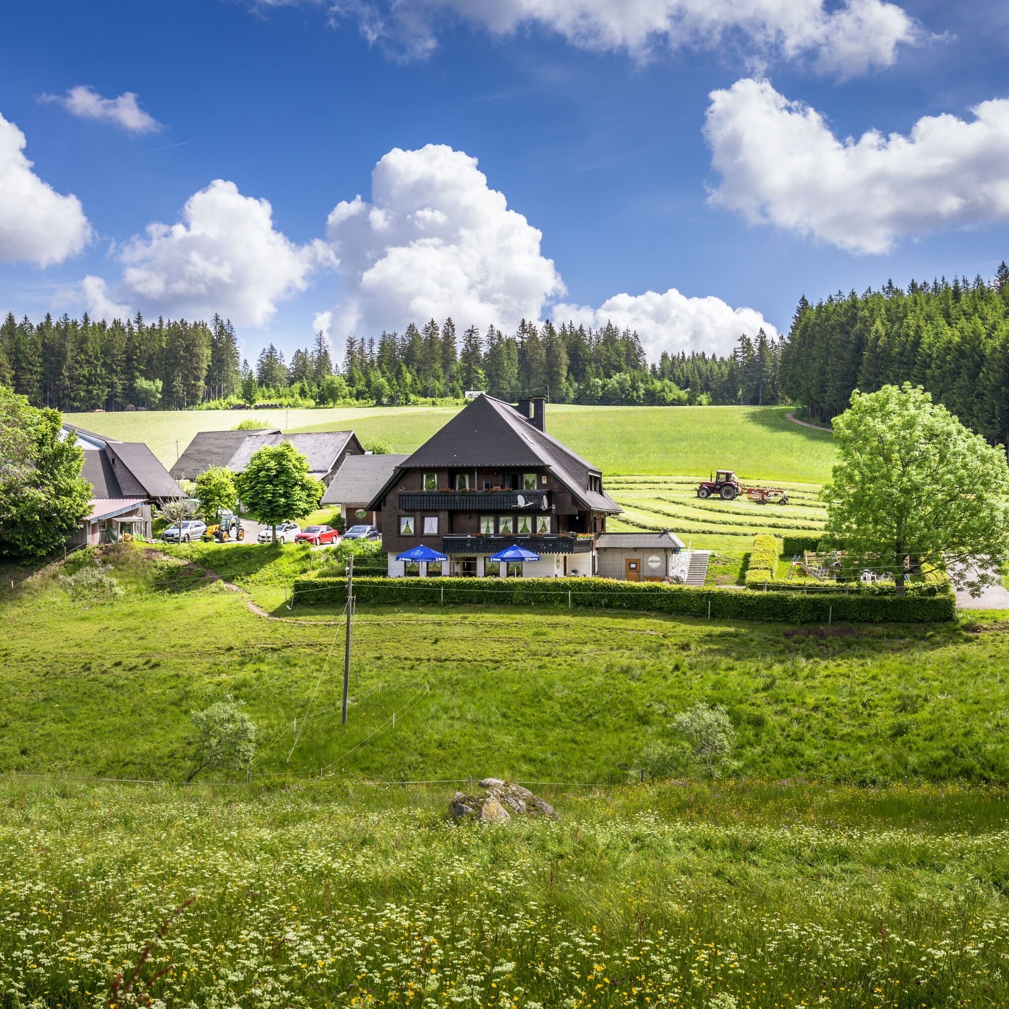
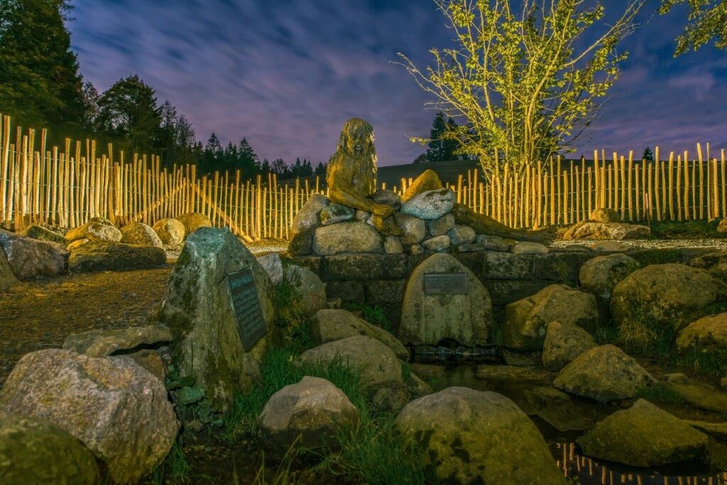
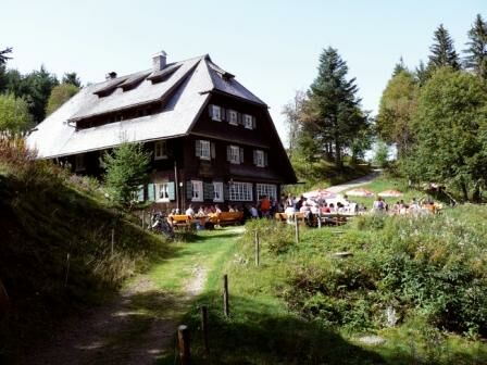
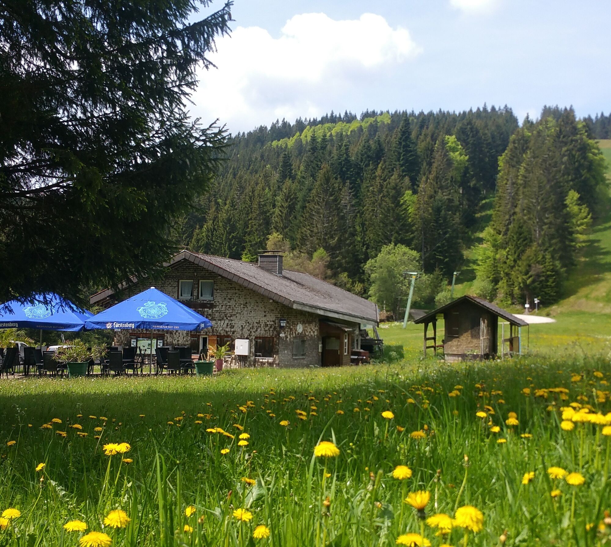

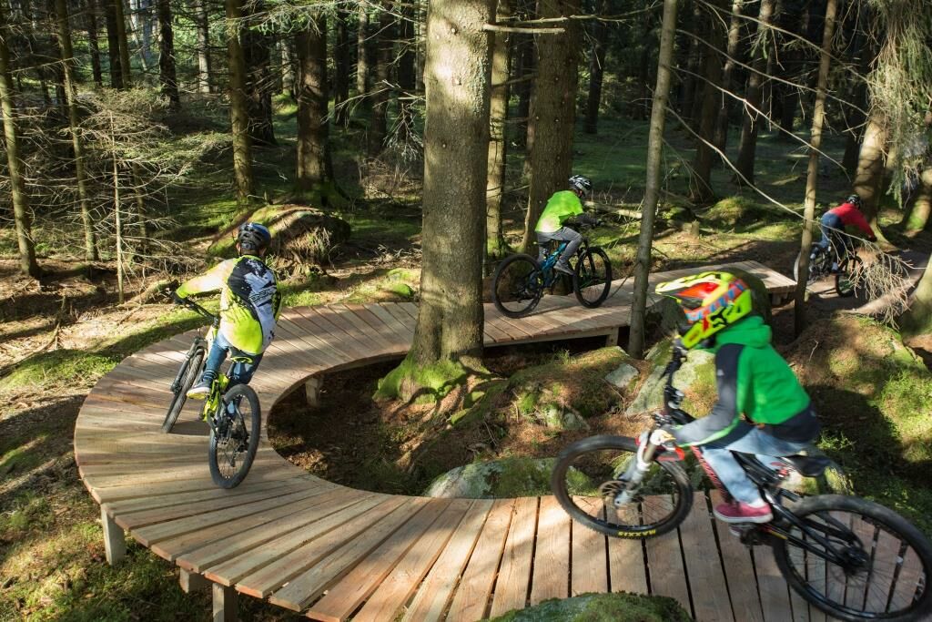
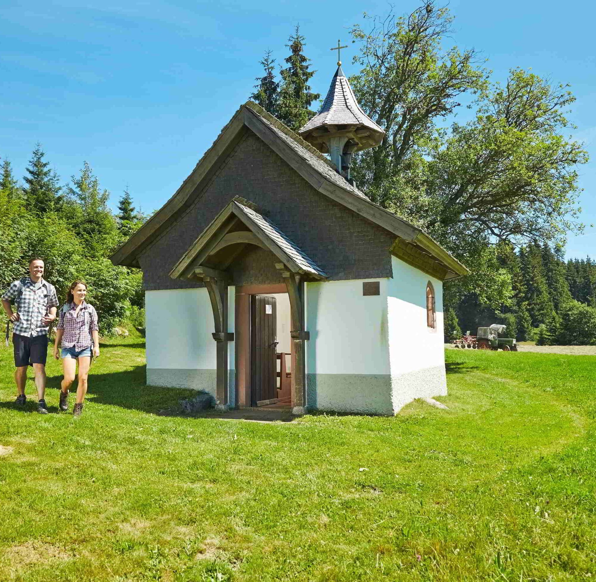


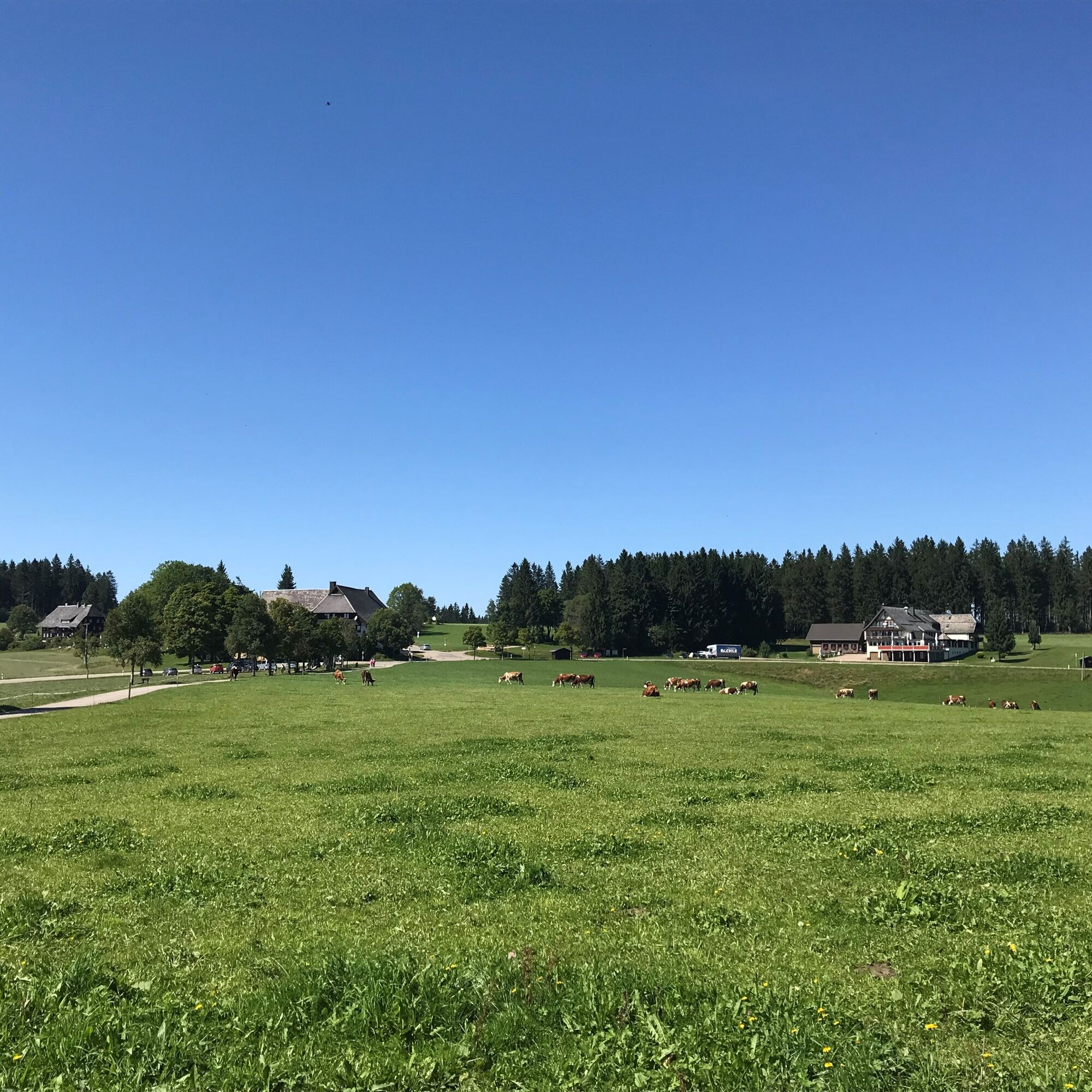
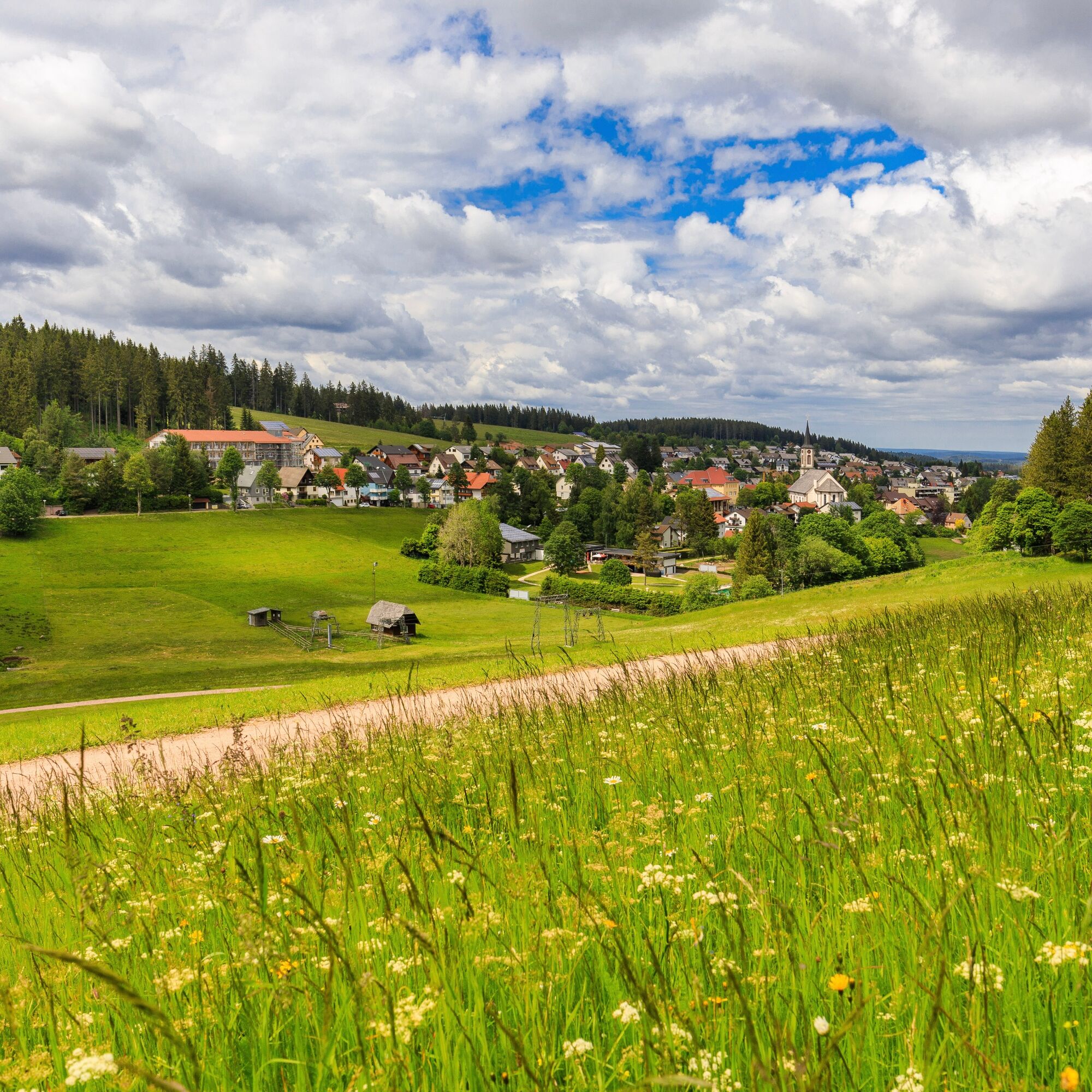

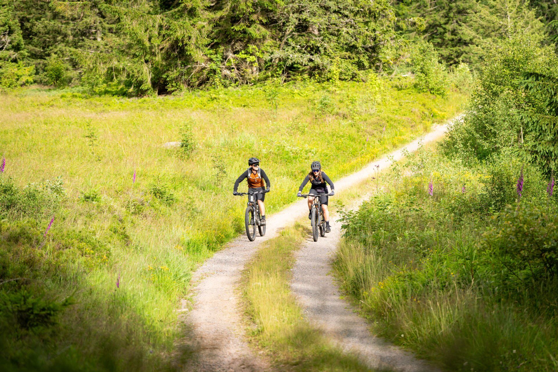

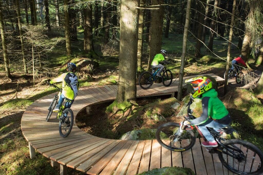
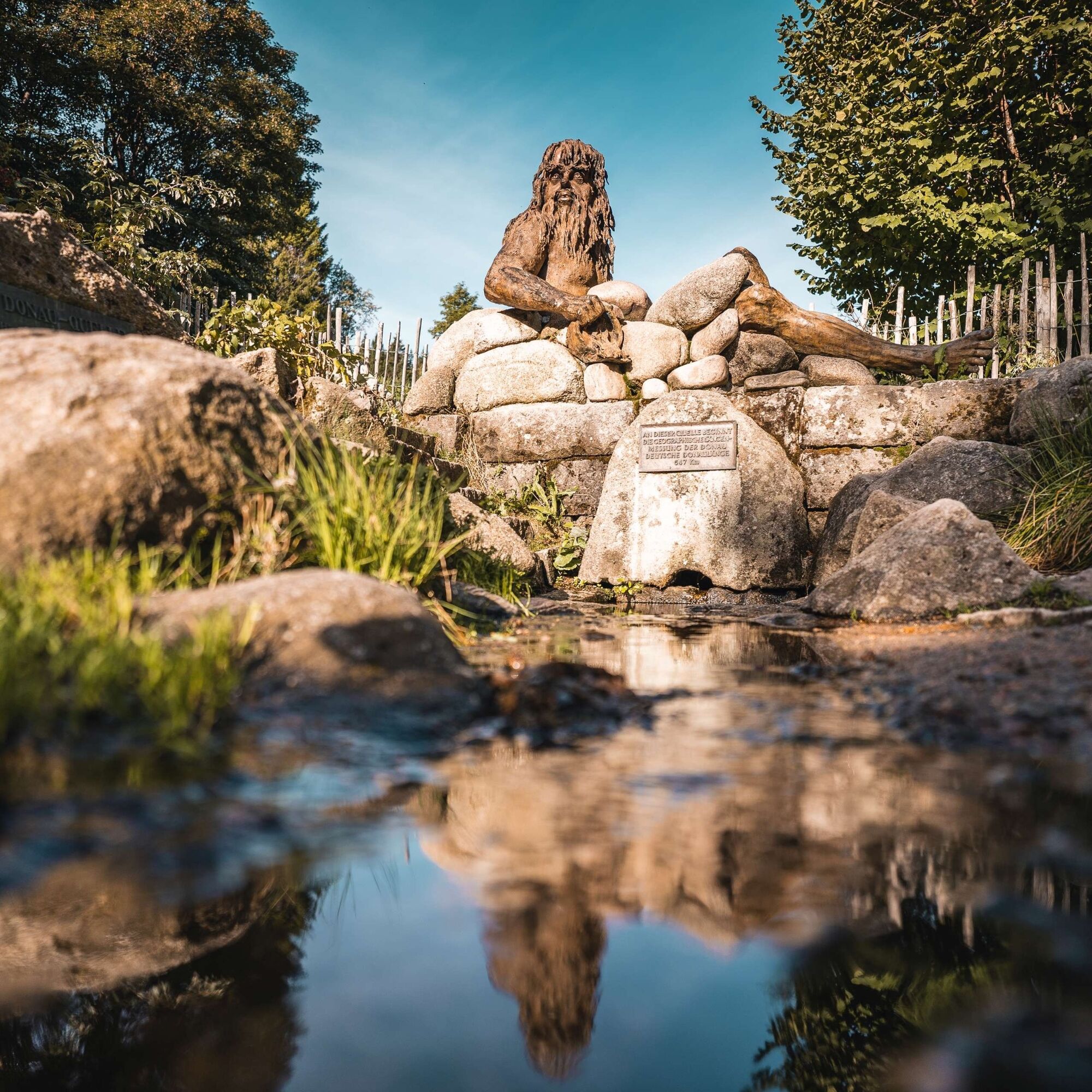


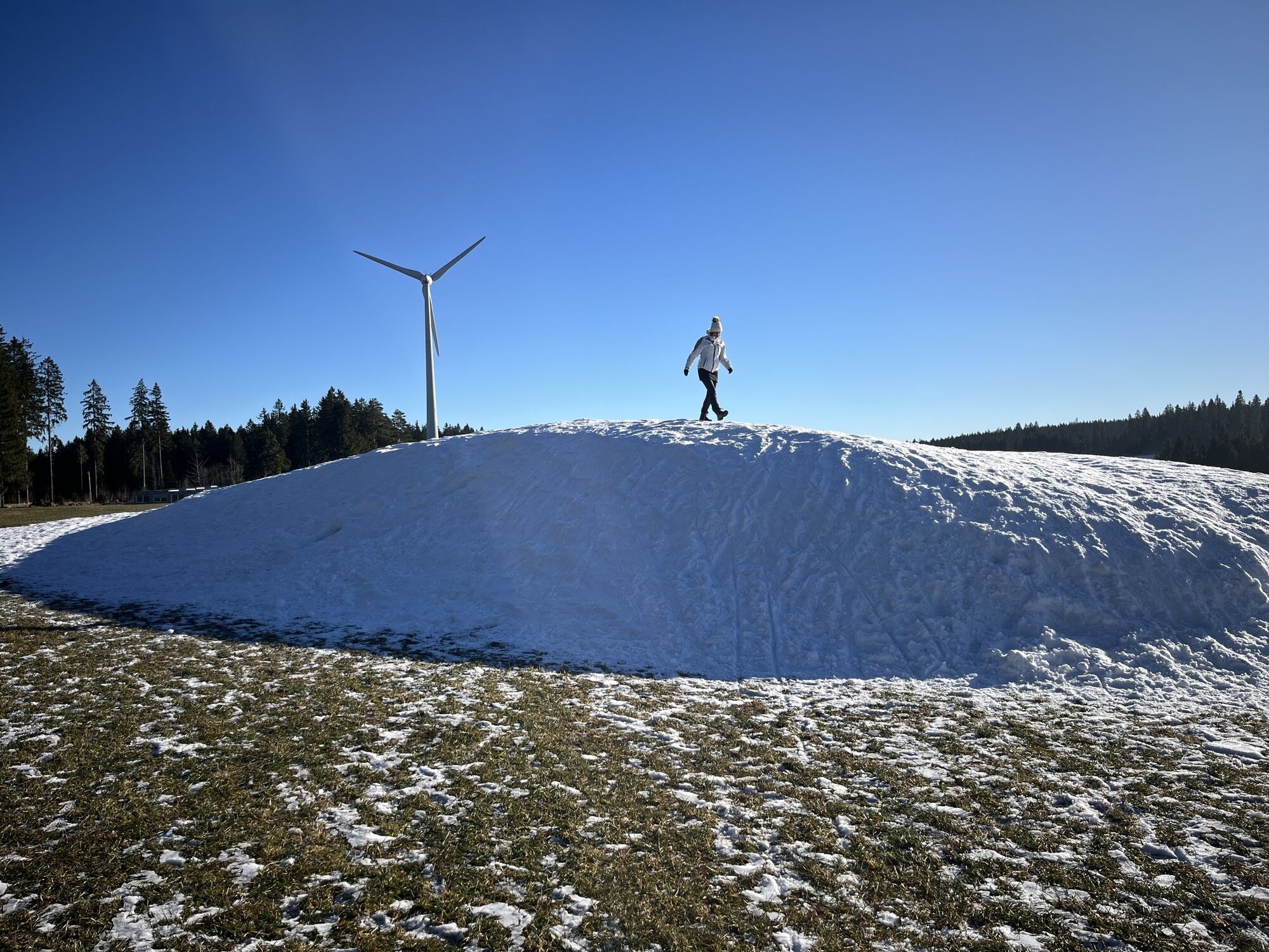
The tour starts at the Schönwald tourist information centre via Bachwinkel and Alte Escheckstraße to the Escheck pass. In the direction of Stöcklewaldturm (with refreshments available), you follow a high-level trail that leads you to Hubertuskapelle, a small chapel in the Gutach headwaters. Via the Gutenhöhe you enjoy a wonderful forest path with a trail section to the Inselklause, below the reservoir. Following the B500 downhill to the right, you reach the entrance to Germany's highest waterfalls. Here, the Gutach plunges over several cascades over 150 metres into the depths - a visit is well worthwhile. A short distance uphill, the tour leads through the Wässerlewald forest to the Langenwandschanze in Schonach, the venue for the FIS Forest Cup Nordic Combined. Above the ski jump is the Bike Ranch Trail, a bike flow trail. Continuing via Blindensee* and the Rohrhardsberg ski lift, a somewhat more challenging ascent to the Schwedenschanze awaits you. However, your efforts and exertions will be rewarded with a magnificent view and a refreshment stop (weekends only). The tour is more or less flat until you reach St Martin's Chapel. There, a detour to the Bregquelle, the actual source of the Danube, is a must on the programme. Then enjoy the descent via the Rimprechtshaus and return to Schönwald via the upper Elz valley and the Zinswald forest.
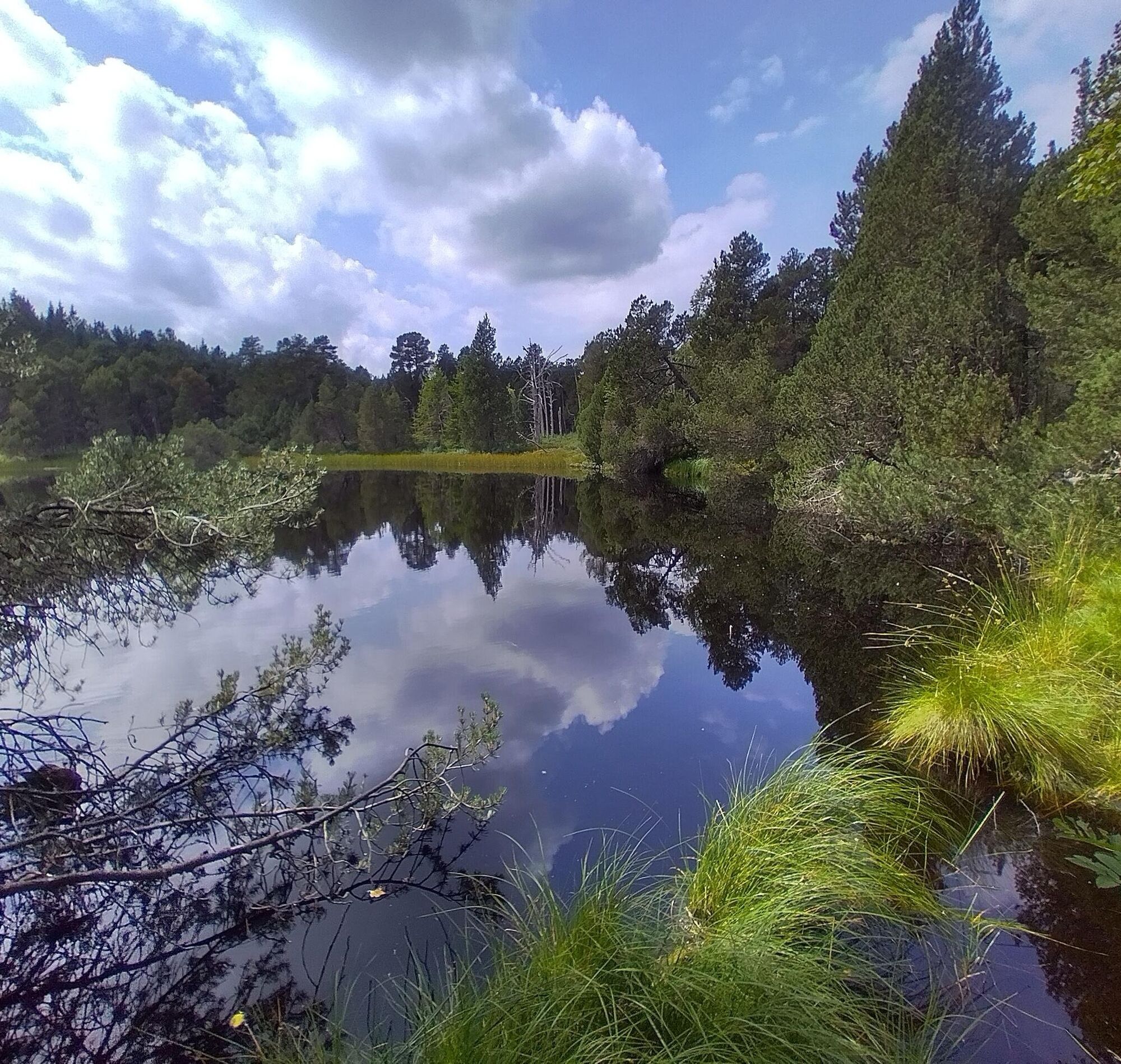
* After the Blindensee lake, the route crosses a cow pasture. Please make sure that you leave the fence passages tidy again.
Ano
Clothing suitable for the weather, drinks and possibly rucksack provisions are recommended for all tours.
Wearing a helmet is recommended!
After the Blindensee lake, the route crosses a cow pasture. Please make sure that you have properly closed the fence gates again. After the cow pasture, the route leads downhill for approx. 400 metres on a stony trail.
This tour is not suitable for children's trailers.
Mit dem Bus 550 oder Panoramabus 7261 (nur Wochenende) bis Haltestelle Bachwinkel. Freie Fahrt mit der KONUS-Gästekarte.
Lieber Naturfreund,
Du bewegst dich bei uns in einer einzigartigen Kulturlandschaft, die den Eigentümern als Wirtschaftsgut sowie der Nahrungsmittelproduktion dient.
Bitte bleibe im Interesse der Eigentümer auf den ausgeschilderten Wegen/Loipen und nimm bitte auch Hunde an die Leine. Wir danken dir herzlich für dein Verständnis.
Recommended direction of travel: anti-clockwise.
Oblíbené prohlídky v okolí
- 4,4
Through the mystical Bannwald forest to the Zweribach Waterfall
středníTuristika 12,3 km - 5,0
Rund um den Kandelgipfel mit tollen Ausblicken
středníTuristika 7,46 km Hike to the Zweribach waterfalls
středníTuristika 7,32 km- 5,0
Potsdamer Platz - Hirschbachfälle- Zweribachfälle - Plattenhof
středníTuristika 9,34 km Panorama Trail from St. Märgen to St. Peter
středníTuristika 8,63 km- 4,5
Genießerpfad - U(h)rwaldpfad Rohrhardsberg
středníTematická stezka 8,72 km Triberger Wasserfälle naar Prizen
středníTuristika 11,5 kmVon St. Peter über den Sägendobel auf den Kandel
heavyTuristika 18,4 km- 5,0
Kandel - Berg der Kräfte
středníTuristika 16,5 km - 4,0
Over the Blindensee lake to Wilhelmshöhe
středníTuristika 16,0 km
Pěší turistika a stopování


Nenechte si ujít nabídky a inspiraci pro vaši příští dovolenou
Vaše e-mailová adresa byl přidán do poštovního seznamu.