






Württemberger Tälerradweg - Stage 5: Laichingen to Bad Boll
Úroveň obtížnosti: 1
Right at the beginning, you reach the highlight of the entire long-distance cycle route: the Swabian Alb rises over 800 m near Westerheim. Those who start their route in spring will experience a special...
Right at the beginning, you reach the highlight of the entire long-distance cycle route: the Swabian Alb rises over 800 m near Westerheim. Those who start their route in spring will experience a special natural wonder on the descent into the Neidlingen Valley: thousands of cherry trees are in full bloom. But the valley is worth seeing in every season. A detour to the Neidlingen Waterfall impressively shows how tuff stone is formed from water among thick moss cushions. On the way in Holzmaden, fossil collectors encounter the Urweltmuseum Hauff. Founded in 1936 by Bernhard Hauff Senior, impressive artistic and fine finds and specimens can still be seen today under the leadership of the third generation. Including the world's largest prepared colony of sea lilies. The stage ends in the spa town of Bad Boll on the Alb edge.

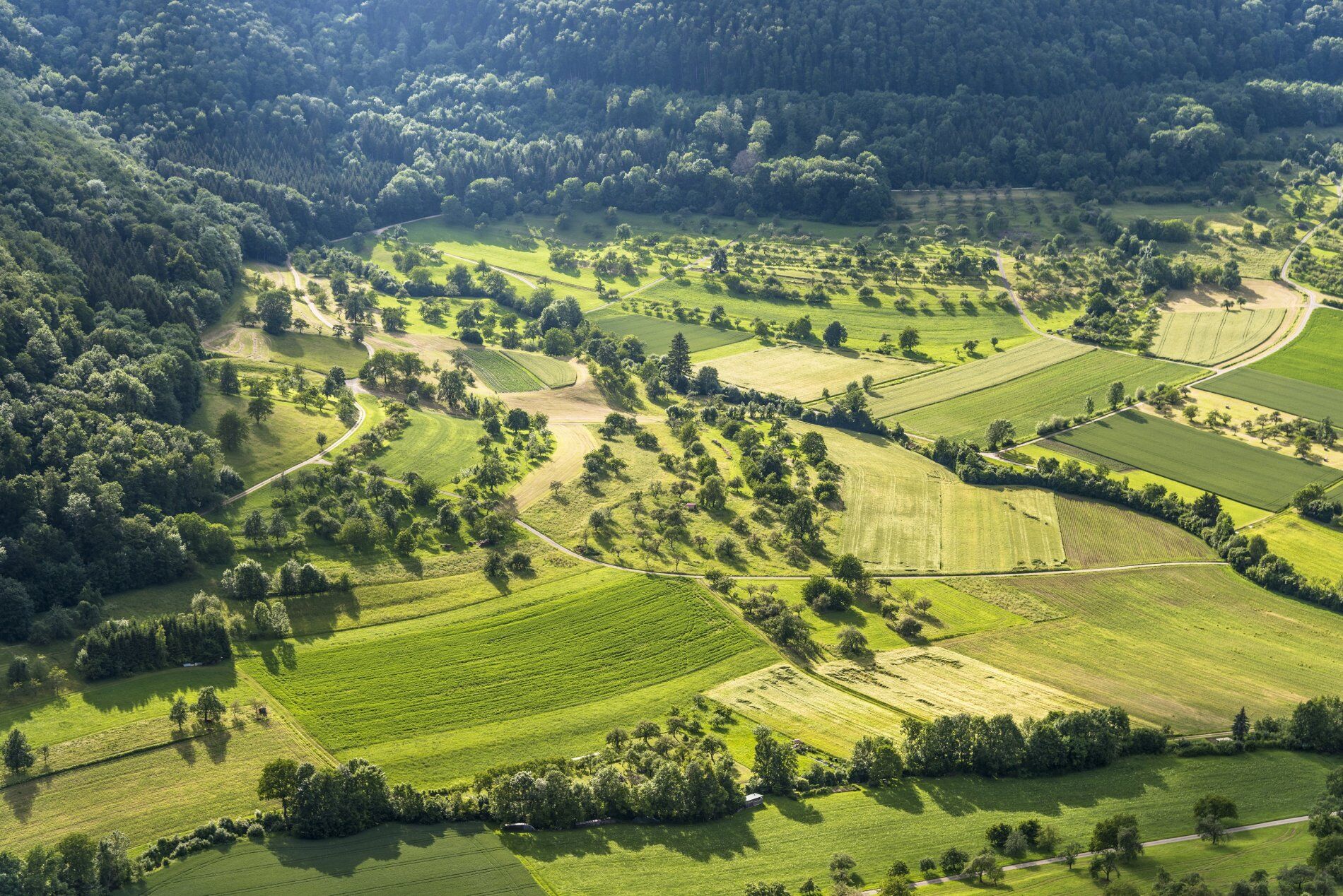
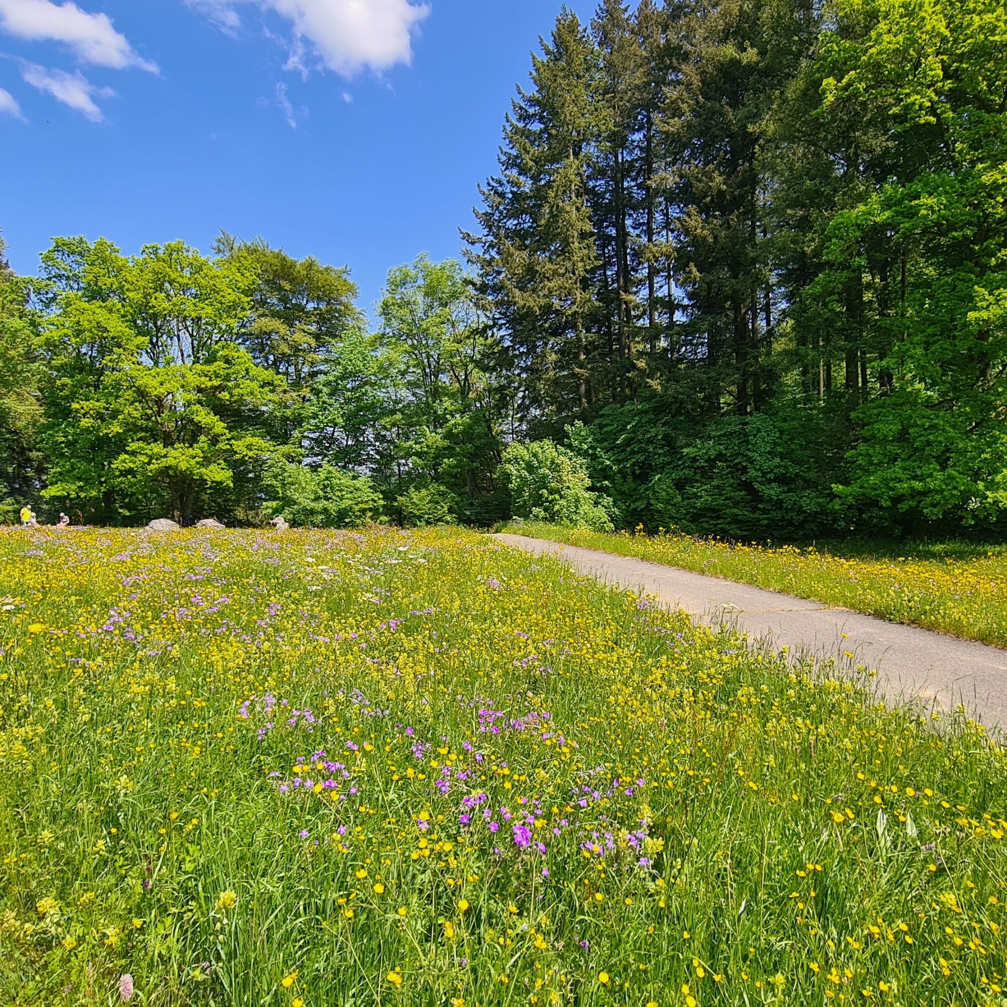
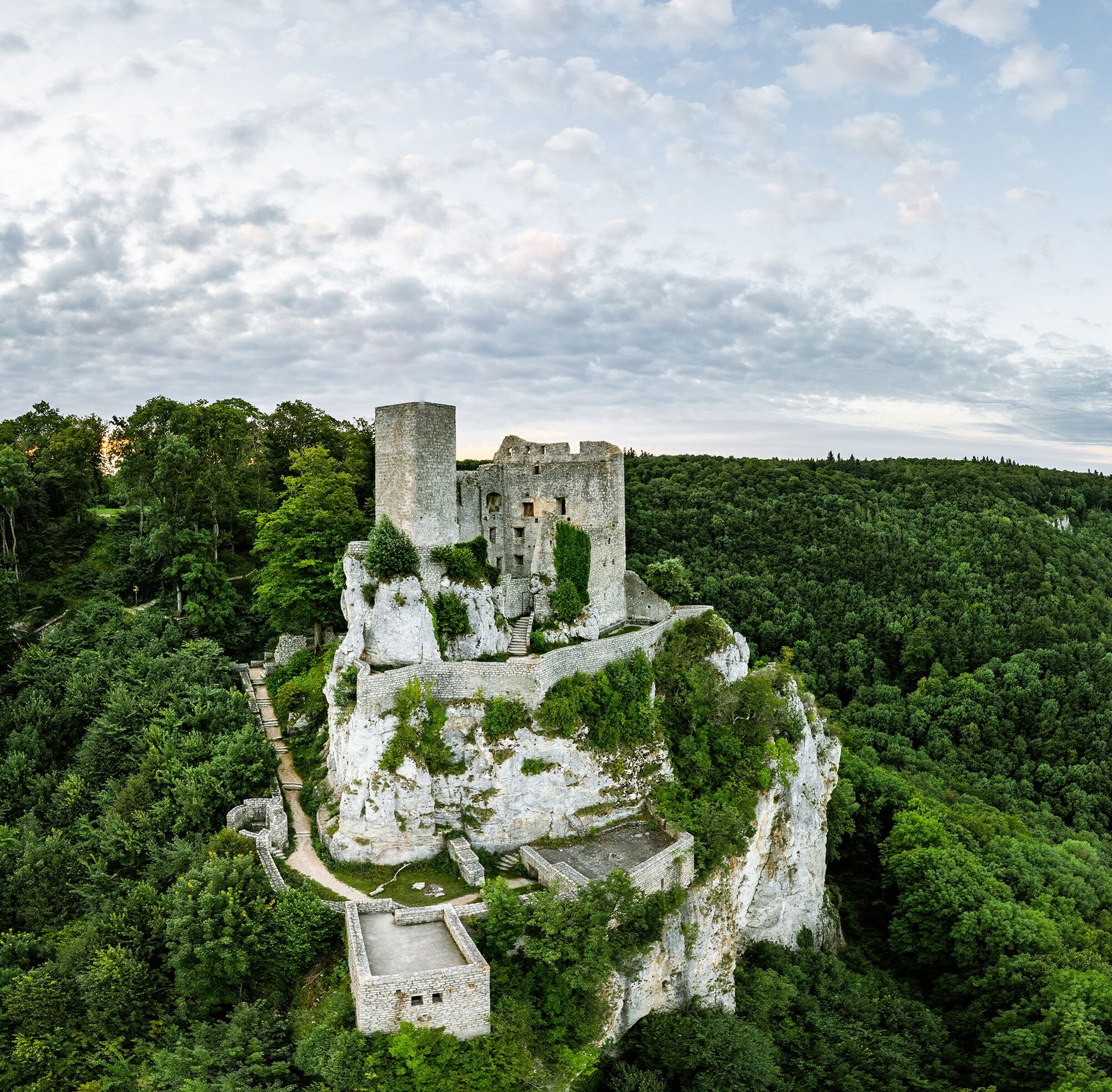
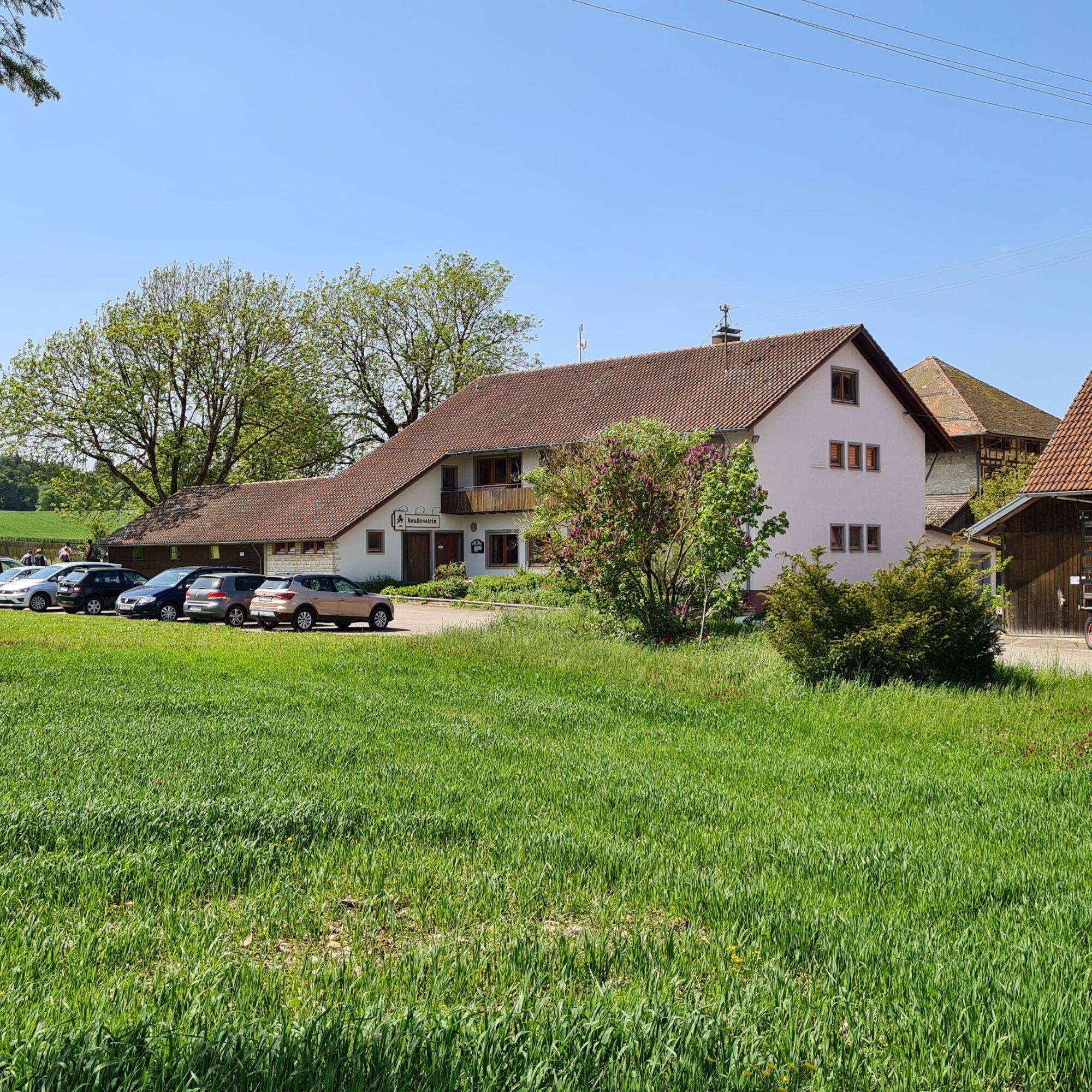

The fifth stage of the Württemberger Tälerradweg starts in Laichingen on the Alb plateau. Right at the start, the path steadily climbs towards Westerheim – with about 800 meters above sea level, the highest point of the entire long-distance cycle route. After this short but rewarding climb, the expanse of the Swabian Alb opens up with magnificent views over meadows and juniper heaths.
From Westerheim, it goes down gently in curves into the Neidlingen Valley – a scenic highlight of the entire route. Especially in spring, the descent is an experience: thousands of blooming cherry trees turn the slopes into a white-pink sea of blossoms. But the valley shows its most beautiful side in every season. Those who have some time should definitely plan a detour to the Neidlingen Waterfall. Among moss-covered rocks, it is easy to observe how tuff stone forms over years from water rich in lime.
The cycle path then leads through Neidlingen and Weilheim an der Teck to Holzmaden. Here, a visit to the well-known Urweltmuseum Hauff is worthwhile, which has been showing impressive fossil finds from the Jurassic period since 1936 – including the world's largest prepared colony of sea lilies.
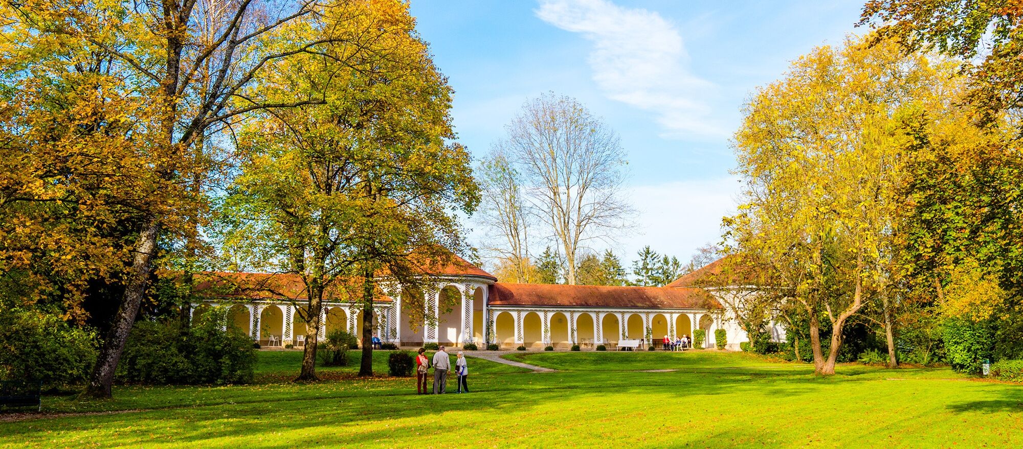
From Holzmaden, the route continues leisurely over field paths and small towns to the destination Bad Boll on the Alb edge. The traditional spa town, with its bath and views of the fore-Alb, forms a fitting end to this varied stage – a route between high Alb and valley, nature and history, silence and movement.
Ano
We recommend taking a trekking bike with or without a motor, a helmet, bike tools, weatherproof clothing, enough food and drink, a bike map or a GPS device, and a mobile phone on the Württemberger Tälerradweg.
1
The ADFC Baden-Württemberg offers an all-inclusive trip on the Württemberger Tälerradweg, allowing it to be cycled relaxed without much planning effort.
Získejte přehled
Vždy živě na místě s více než 9 500 webkamerami. bergfex Jako uživatel Pro si nyní můžete zobrazit odpovídající webové kamery pro mnoho prohlídek v aplikaci prohlídky z. Můžete si tak přímo prohlédnout aktuální podmínky.
Oblíbené prohlídky v okolí
-
4.5
Löwenpfad "Orchideenpfad" - Herbs, Pasqueflower and Juniper Heathlands
středníTuristika 9.33 km -
4.8
Löwenpfad "Filsursprung-Runde" - pure nature around the Reußenstein
středníTuristika 14.1 km -
5.0
Lion trail "Berta-Hörnle-Tour" - castle stories in a dreamlike setting
heavyTuristika 14.7 km -
5.0
Boßler circuit
středníTuristika 8.59 km -
3.7
Löwenpfad "Wasserberg-Runde" - pure panorama and typical Swabian Jura landscapes
heavyTuristika 12.0 km -
3.8
Lion trail "Ave-Weg" - A touch of pilgrimage on the Albtrauf
středníTuristika 8.65 km -
1.0
Nordalbrunde
středníTuristika 4.76 km -
5.0
Lenningen: Weiße Lauter, Wasserfels, Guttenberger-,Gußmannshöhle, Schopflocher Moor, Hohgreutfels, Ruine Wielandstein
středníTuristika 15.7 km -
Löwenpfad "Höhenrunde" - Hiltenburg and the Albtrauf in its purest form
středníTuristika 10.7 km -
5.0
Breitensteinrunde
světloTuristika 10.3 km
Pěší turistika a stopování


Nenechte si ujít nabídky a inspiraci pro vaši příští dovolenou
Vaše e-mailová adresa byl přidán do poštovního seznamu.





