






Tour de Méan Martin - 4-day hike

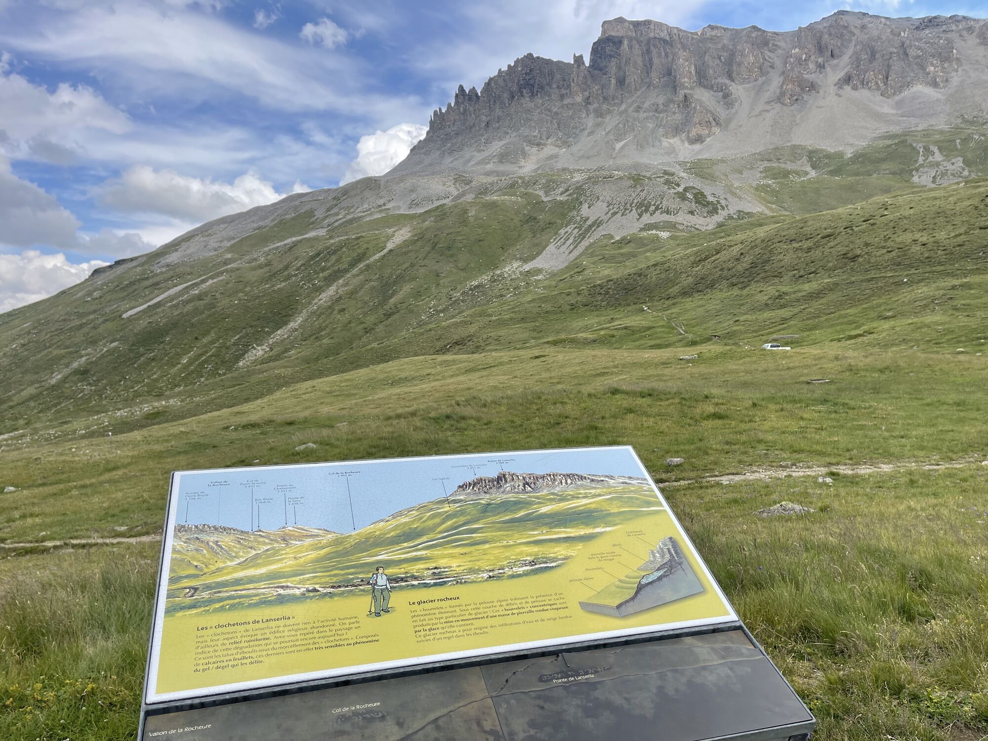
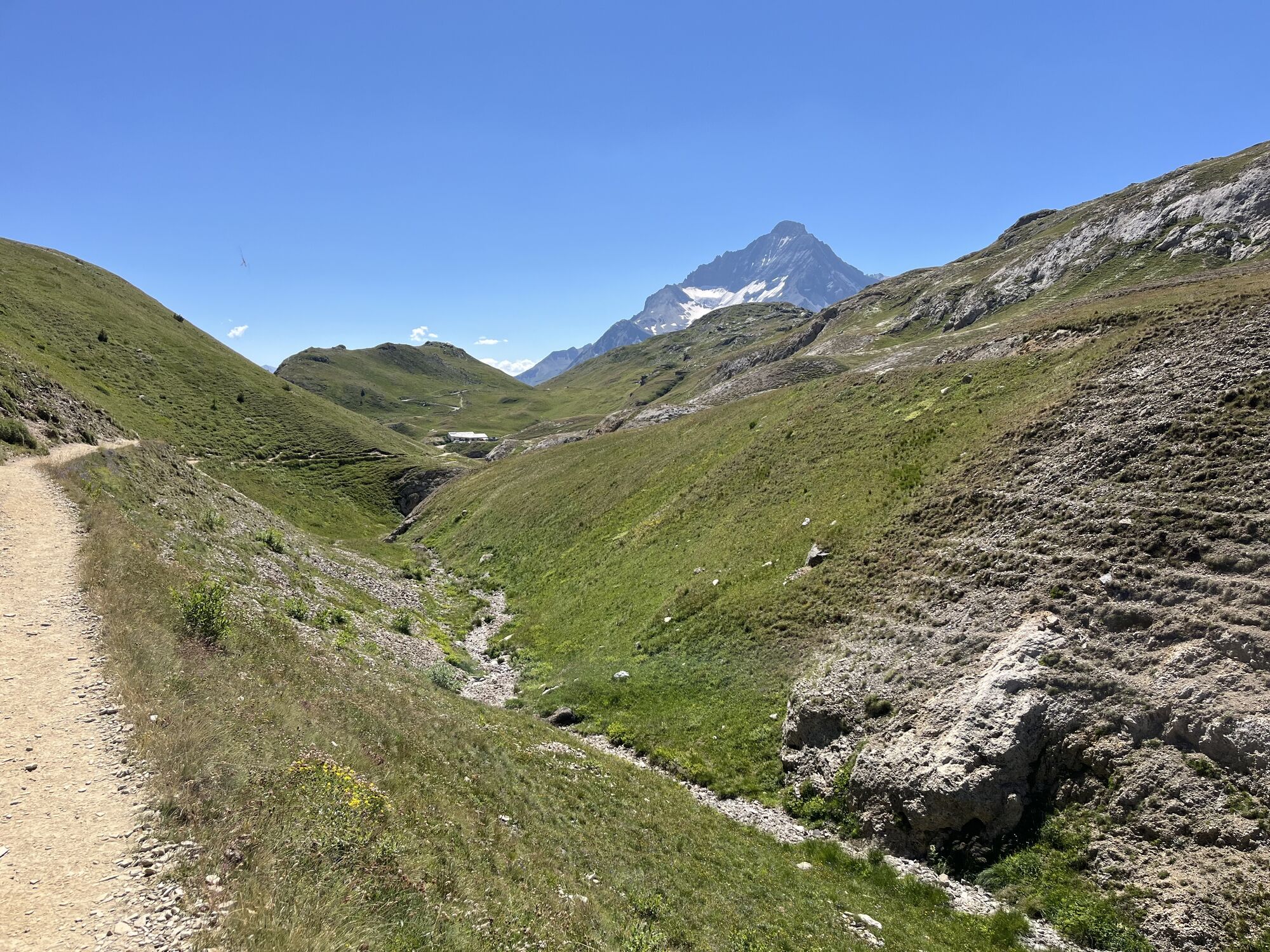
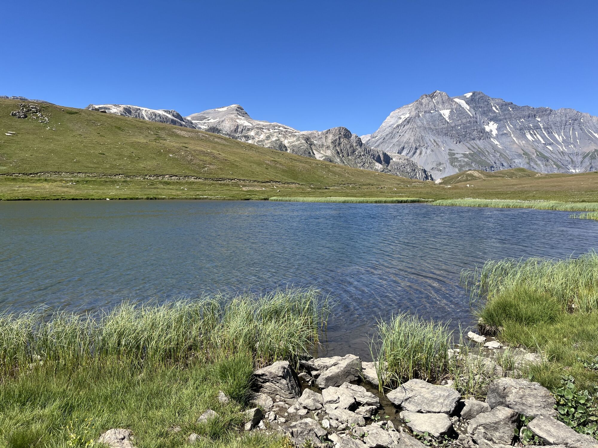
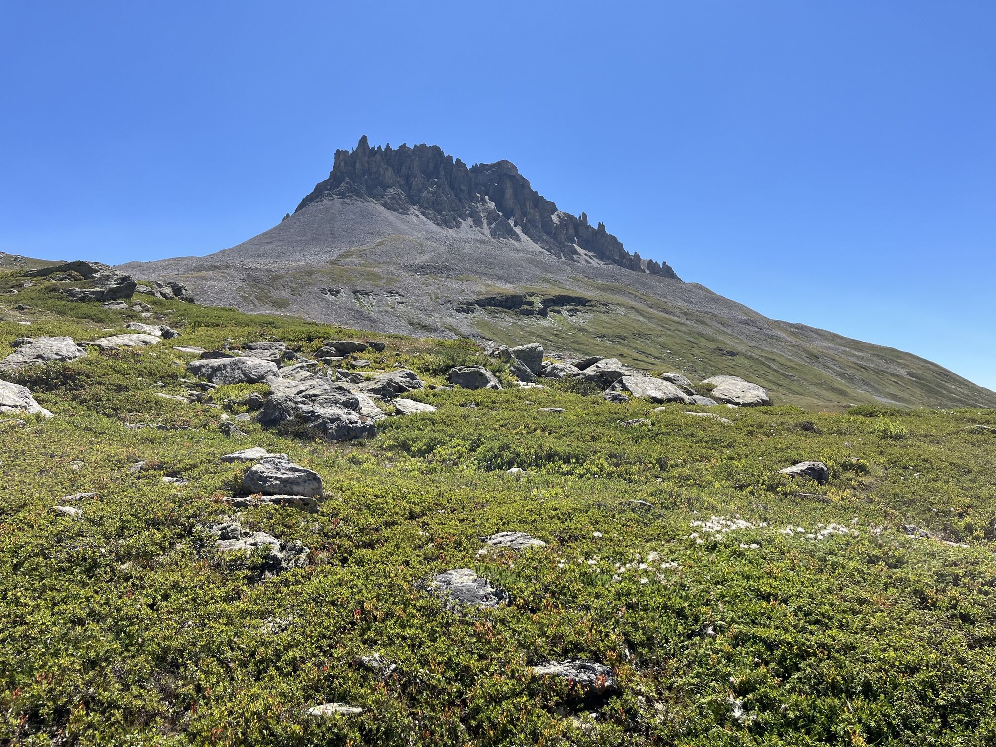
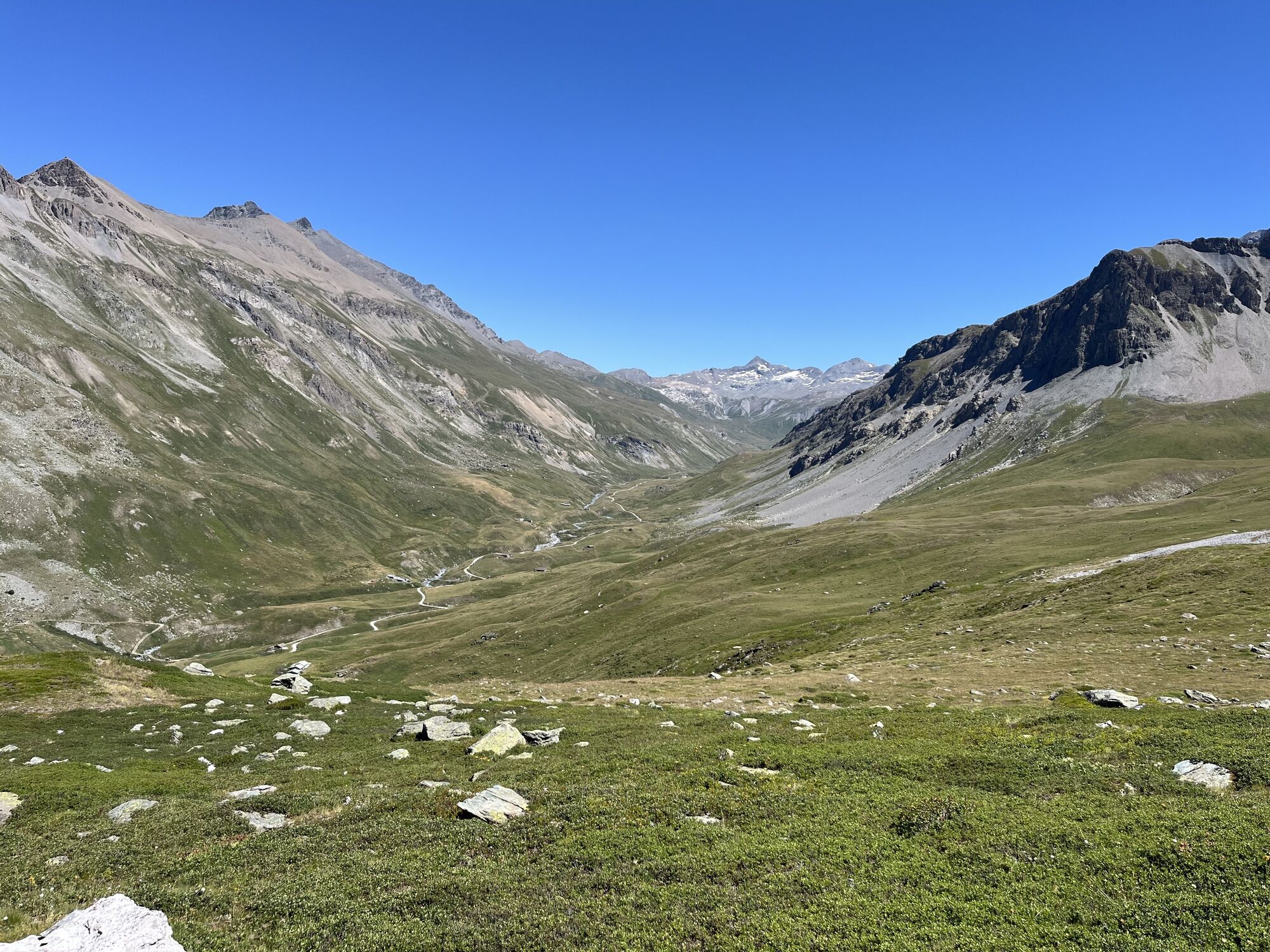
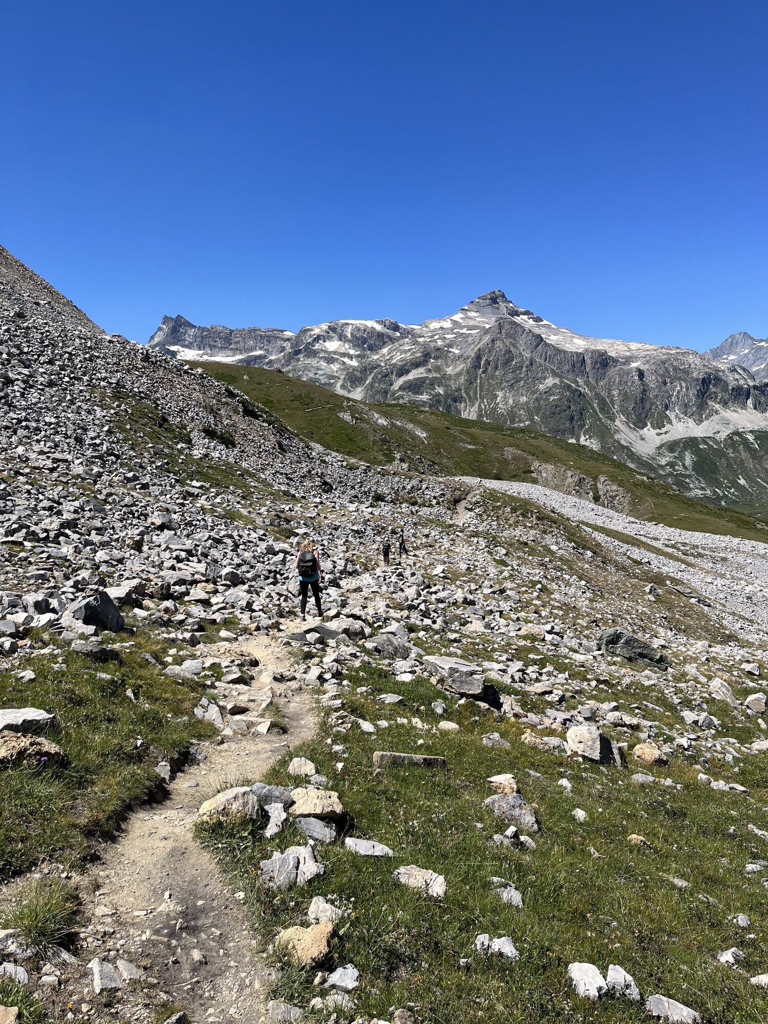
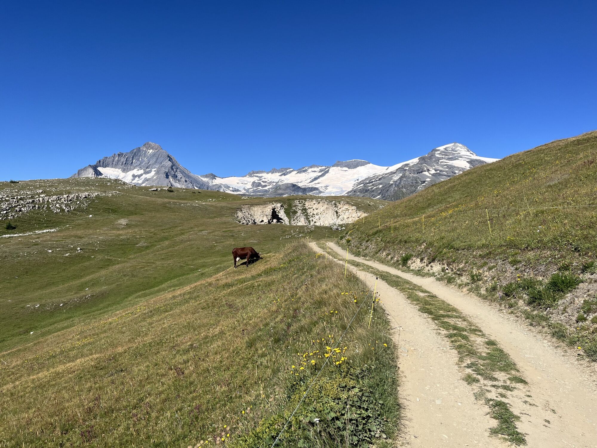
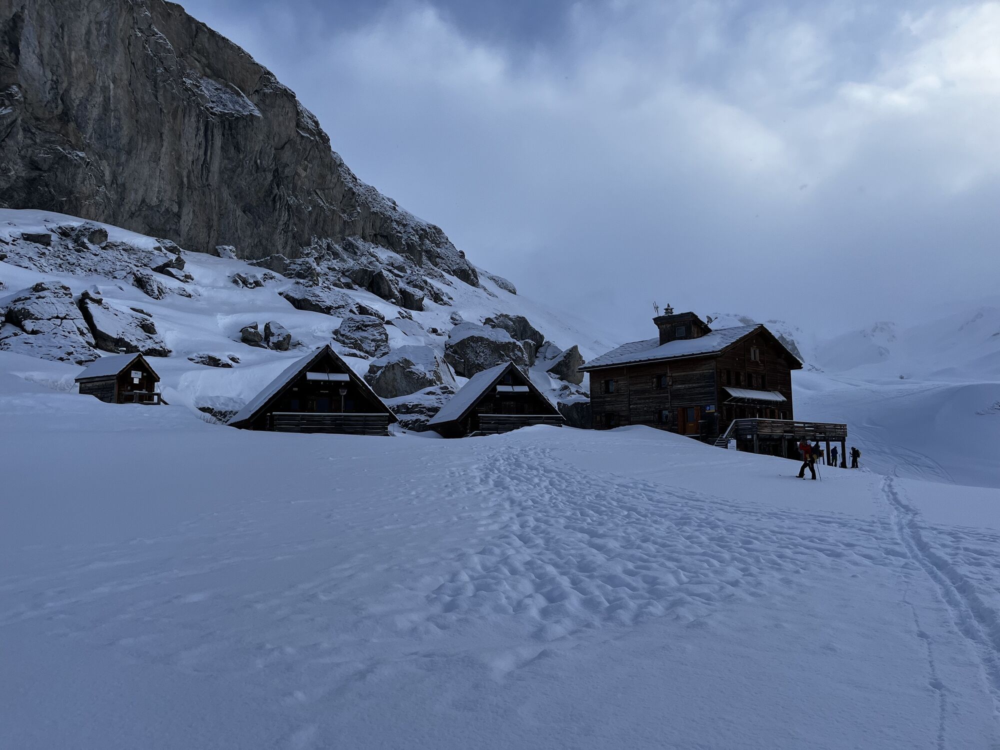
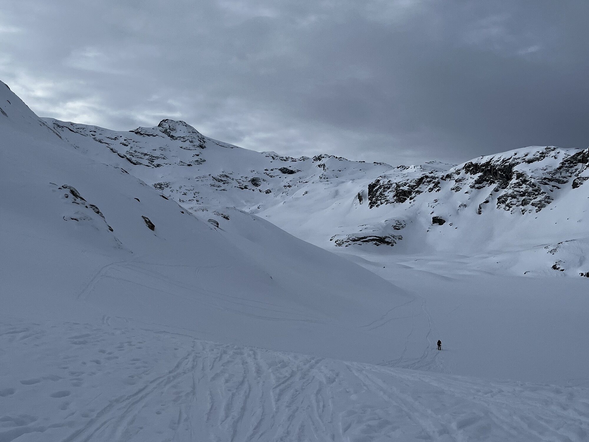

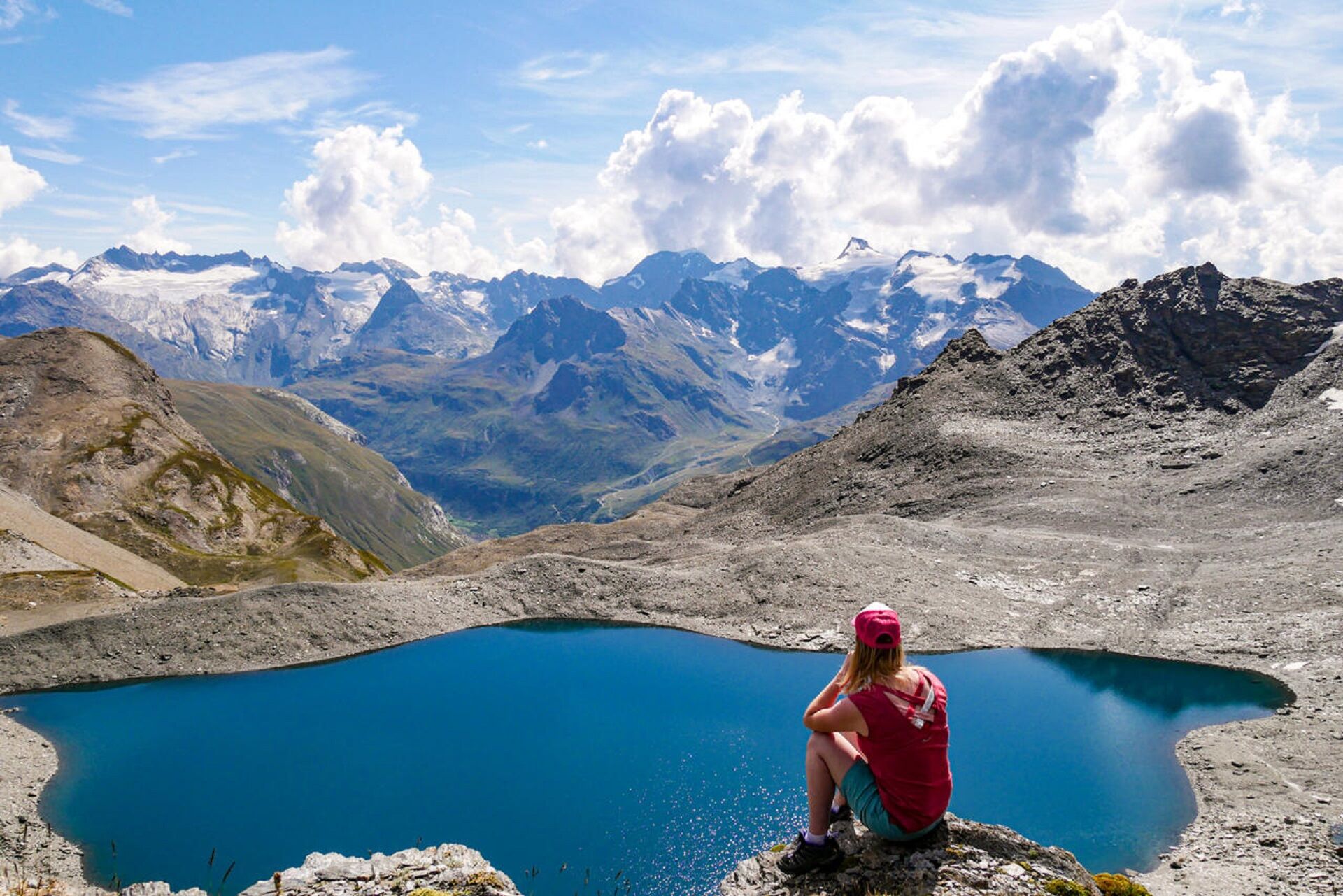
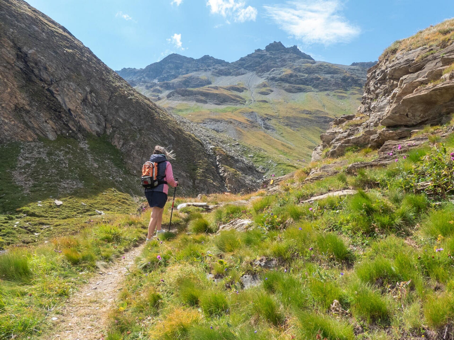
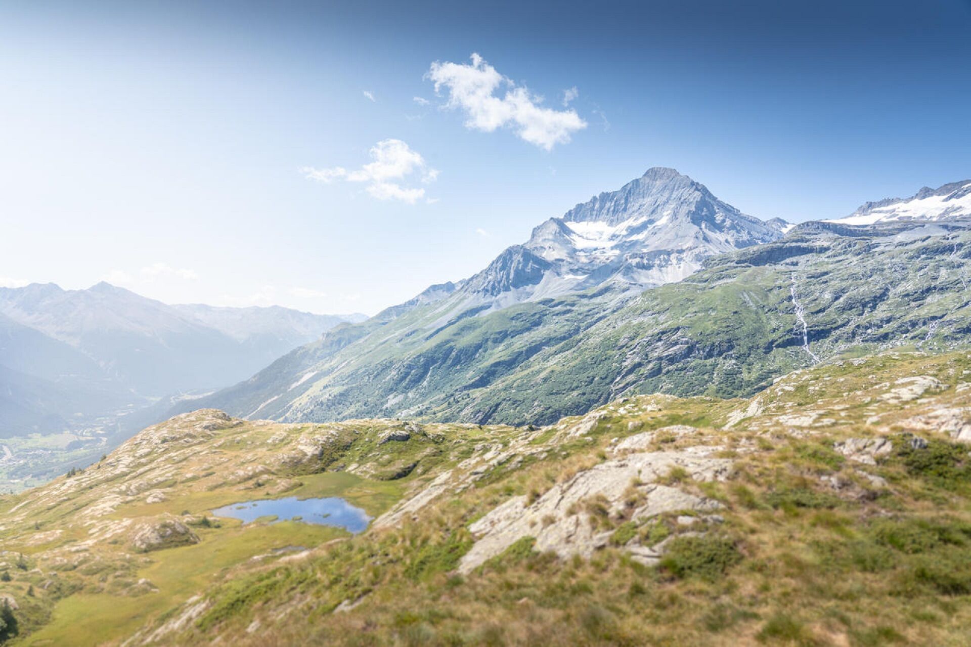

Start: Gîte La Bâtisse au Villaron, Bessans
1/ DAY 1: Gîte La Bâtisse (1740m) - Refuge de Vallonbrun (2272m) Time: 4h / Ascent: +610m / -90m
2/ DAY 2: Refuge de Vallonbrun (2272m) - Auberge de Bellecombe (2350m) Time: 8h30 / Ascent: +1100 / -810m
3/ DAY 3: Auberge de Bellecombe (2350m) - Refuge du fond des Fours (2537m) Time: 7h45 / Ascent: +850m / -620m
4/ DAY 4: Refuge du Fond des Fours (2537m) - Gîte La Bâtisse (1740m) Time: 5h30 / Ascent: +450m / -1240m
You are in a protected area. Pets are not allowed in the Vanoise National Park.
You must book your overnight stay in a refuge in advance.
Stay on the trails and follow the signs, and take your garbage with you.
Oblíbené prohlídky v okolí
-
little 'Haute-Maurienne Vanoise' circuit
heavySilniční kolo 32.0 km -
Refuge du Fond d'Aussois - a wild valley in the Vanoise - 2-day hike
světloTuristika 9.22 km -
The White Lake
světloTuristika 4.42 km -
Col de l'Iseran from Modane
heavySilniční kolo 59.5 km -
Col du Mont Cenis from Modane
heavySilniční kolo 34.8 km -
Tour of the Bellecombe lakes
heavyTuristika 10.2 km -
5.0
Walking tour of the Plan du Lac refuge
světloTuristika 4.58 km -
5.0
Girarde footpath
světloTuristika 8.10 km -
Col du Mont Cenis from Lanslebourg
heavySilniční kolo 9.84 km -
5.0
Goldtoni - Alpenbogen A067 Le Monal-Refuge de la Leisse
střednídálková pěší trasa 27.2 km
Pěší turistika a stopování


Nenechte si ujít nabídky a inspiraci pro vaši příští dovolenou
Vaše e-mailová adresa byl přidán do poštovního seznamu.





