
Col du Mont Cenis from Modane
heavy
Pořiďte si tuto prohlídku do mobilního telefonu
Col du Mont Cenis from Modane
heavy
Silniční kolo
34.76
km
Naskenujte QR kód a spusťte navigaci v aplikaci bergfex.


Pěší turistika a stopování





Col du Mont Cenis from Modane
heavy
Vzdálenost
34.8
km
Doba trvání
02:32
h
Ascent
1051
hm
Hladina moře
1053 -
2083
m
Stažení skladby
Col du Mont Cenis from Modane
heavy
Silniční kolo
34.76
km
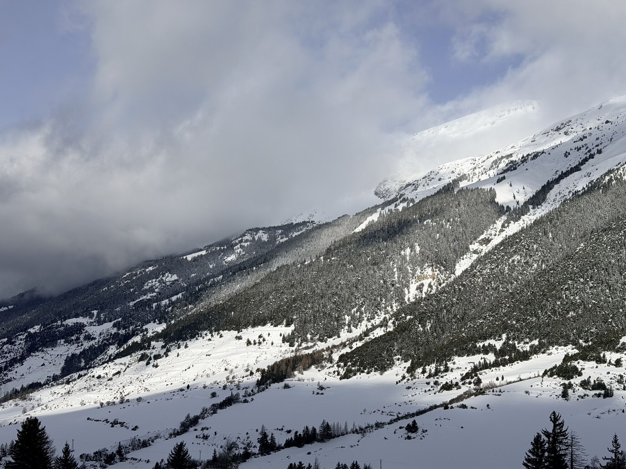
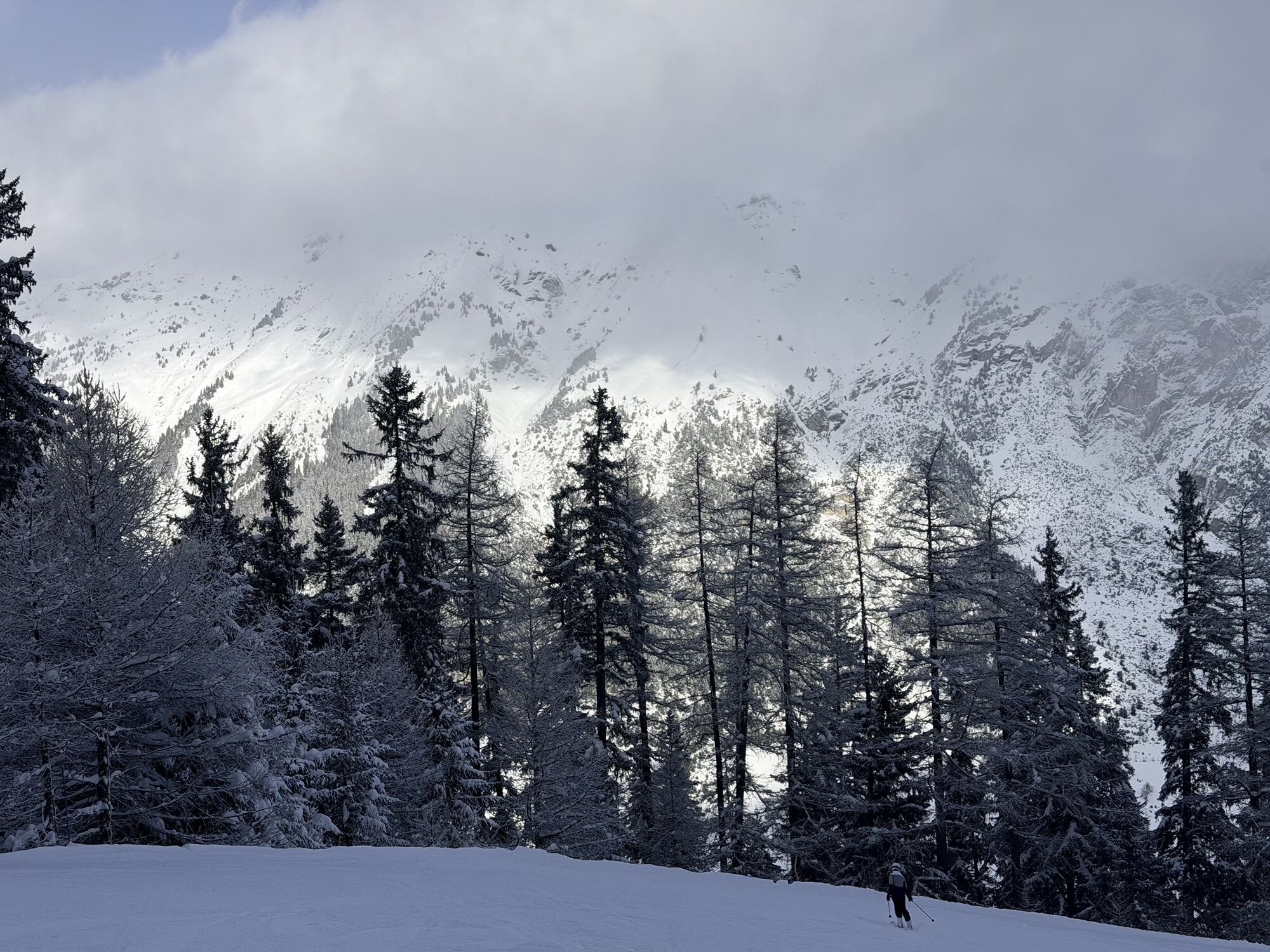
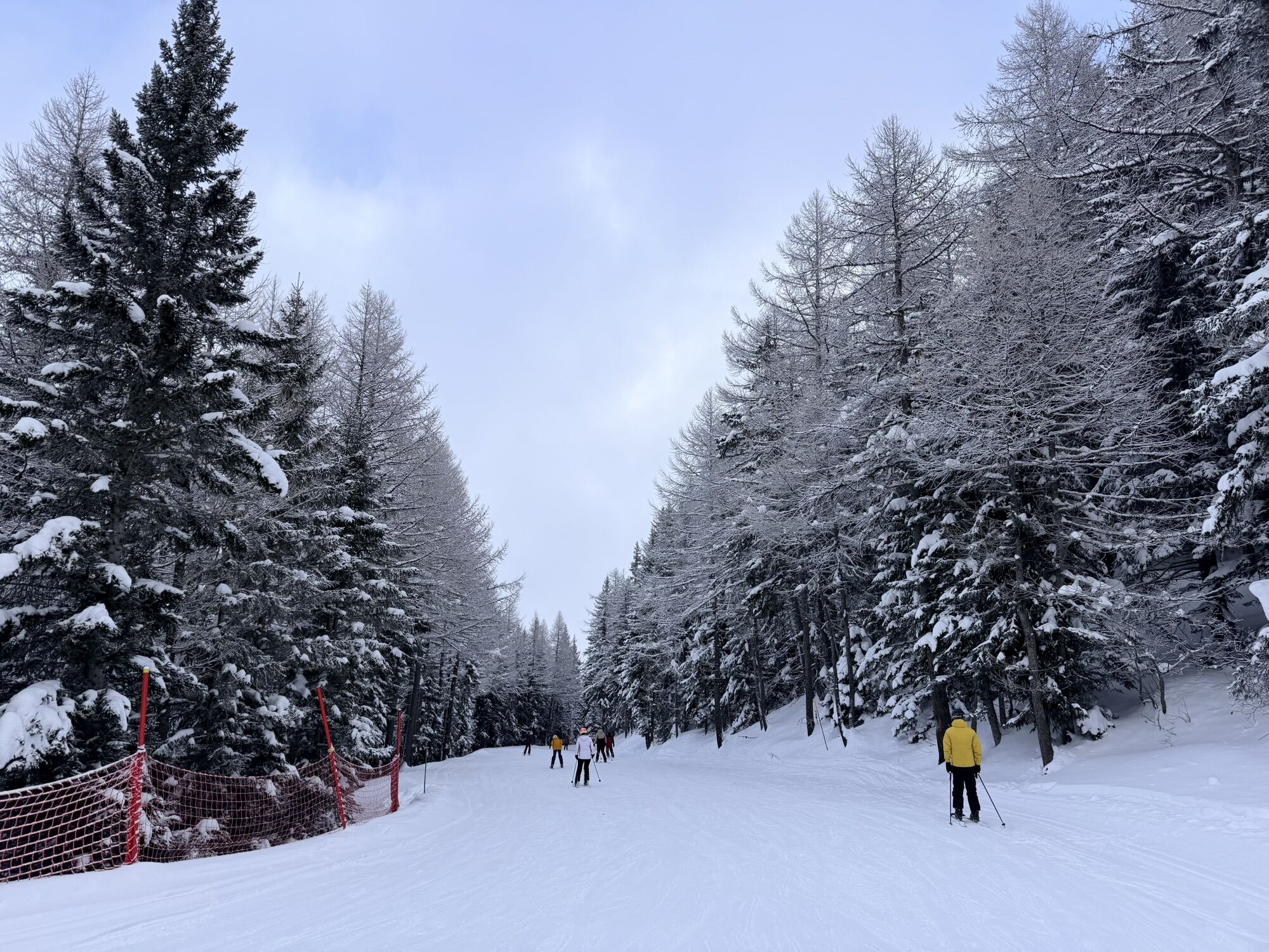
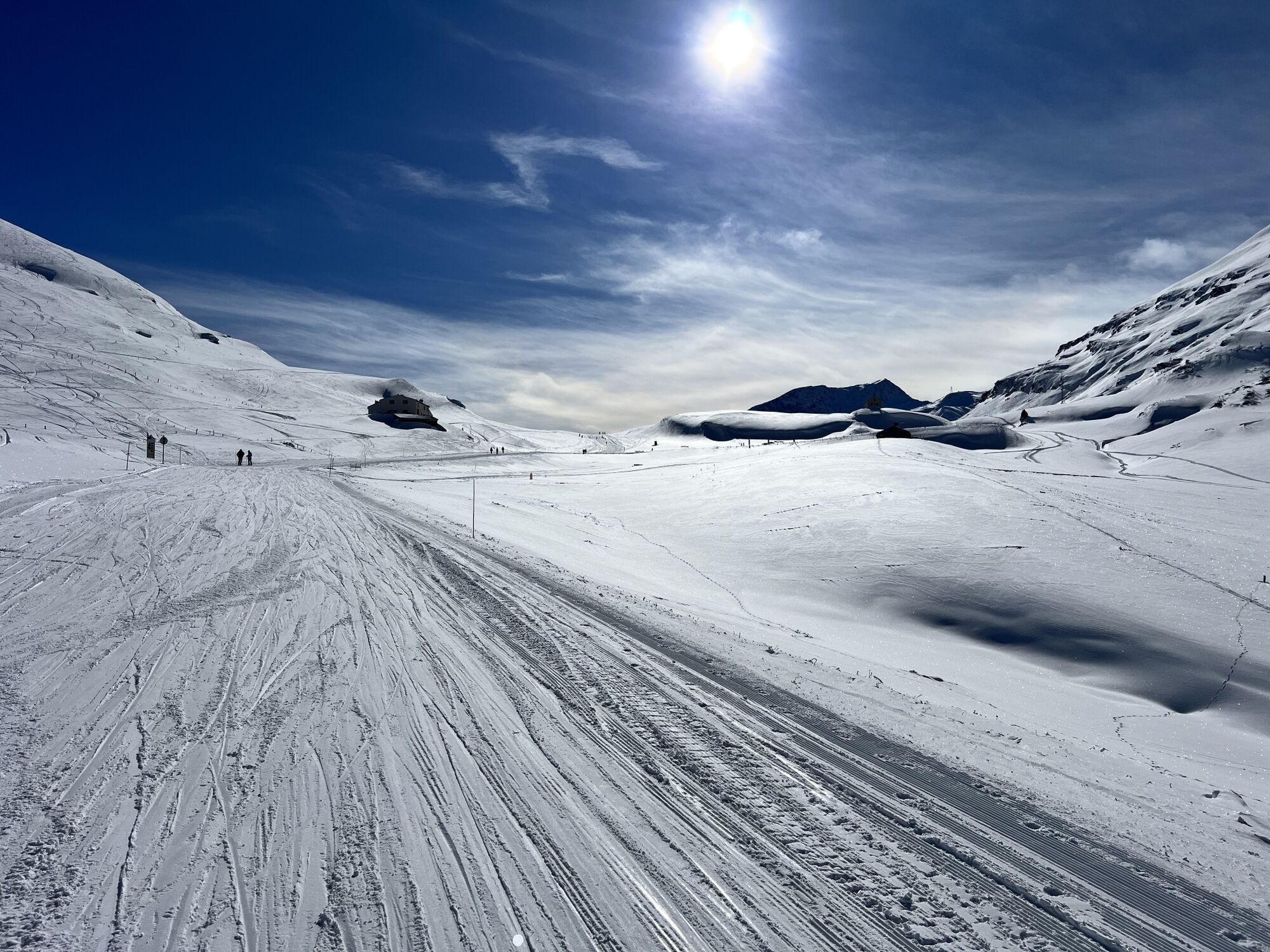
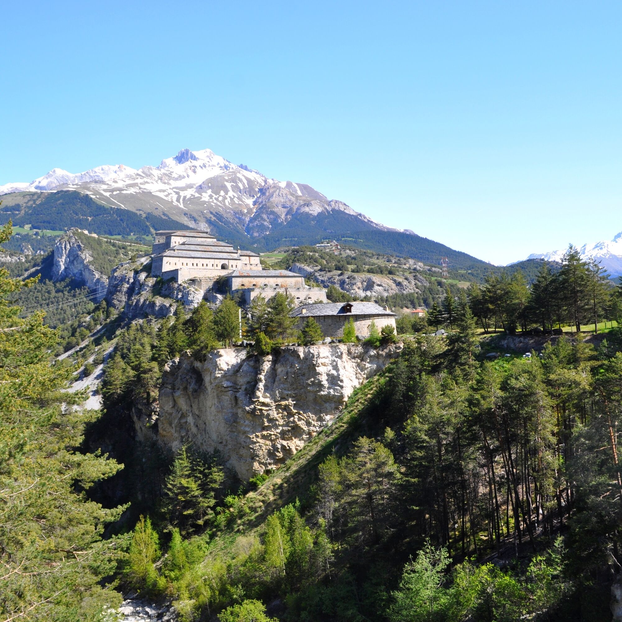
From Modane, follow the Departmental Road 1006 towards Lanslebourg / Mont-Cenis Pass. Admire on the route the spectacular fortification barrier of the Esseillon.
The main difficulty of this route is the...
Popis
From Modane, follow the Departmental Road 1006 towards Lanslebourg / Mont-Cenis Pass. Admire on the route the spectacular fortification barrier of the Esseillon.
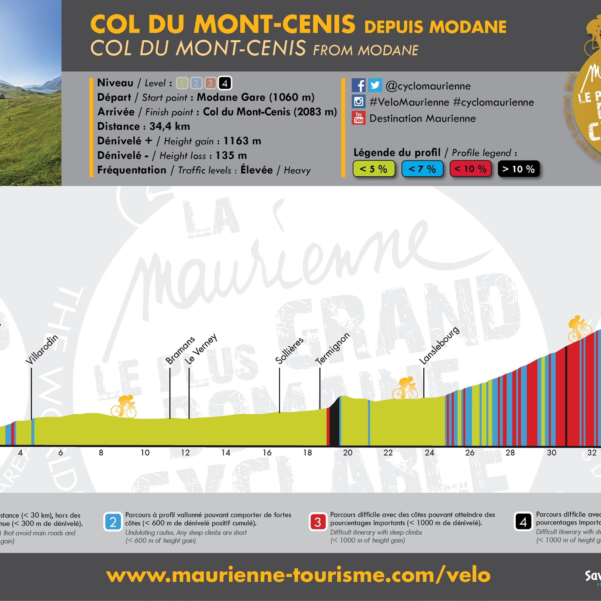
The main difficulty of this route is the climb of the "bario" of Termignon. Just outside the village, you will have to tackle a very steep slope of more than 15% gradient for about half a kilometre.
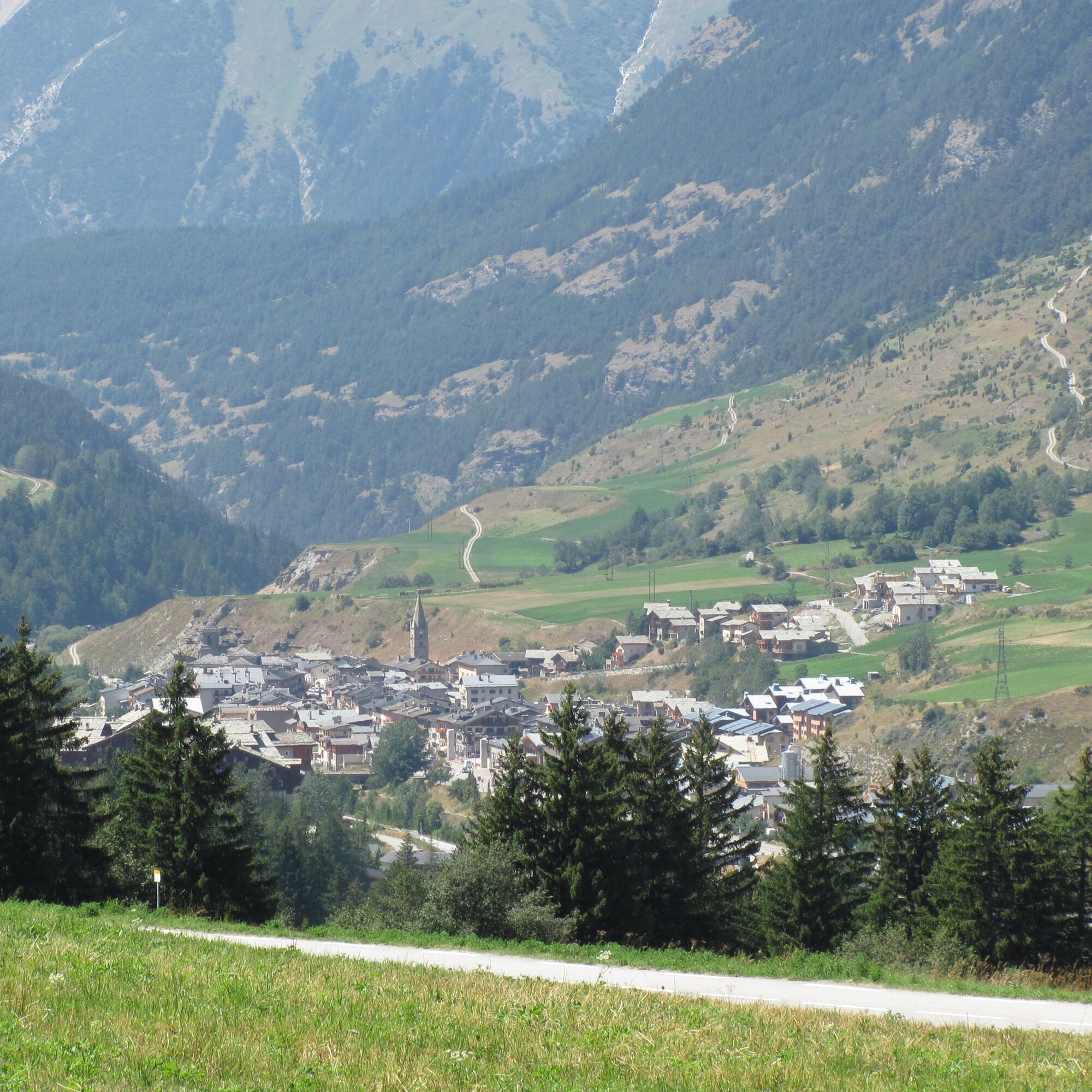
Once this difficulty is past, you will easily reach the village of Lanslebourg downhill, the last village crossed before the 10 km ascent of the Mont-Cenis pass.
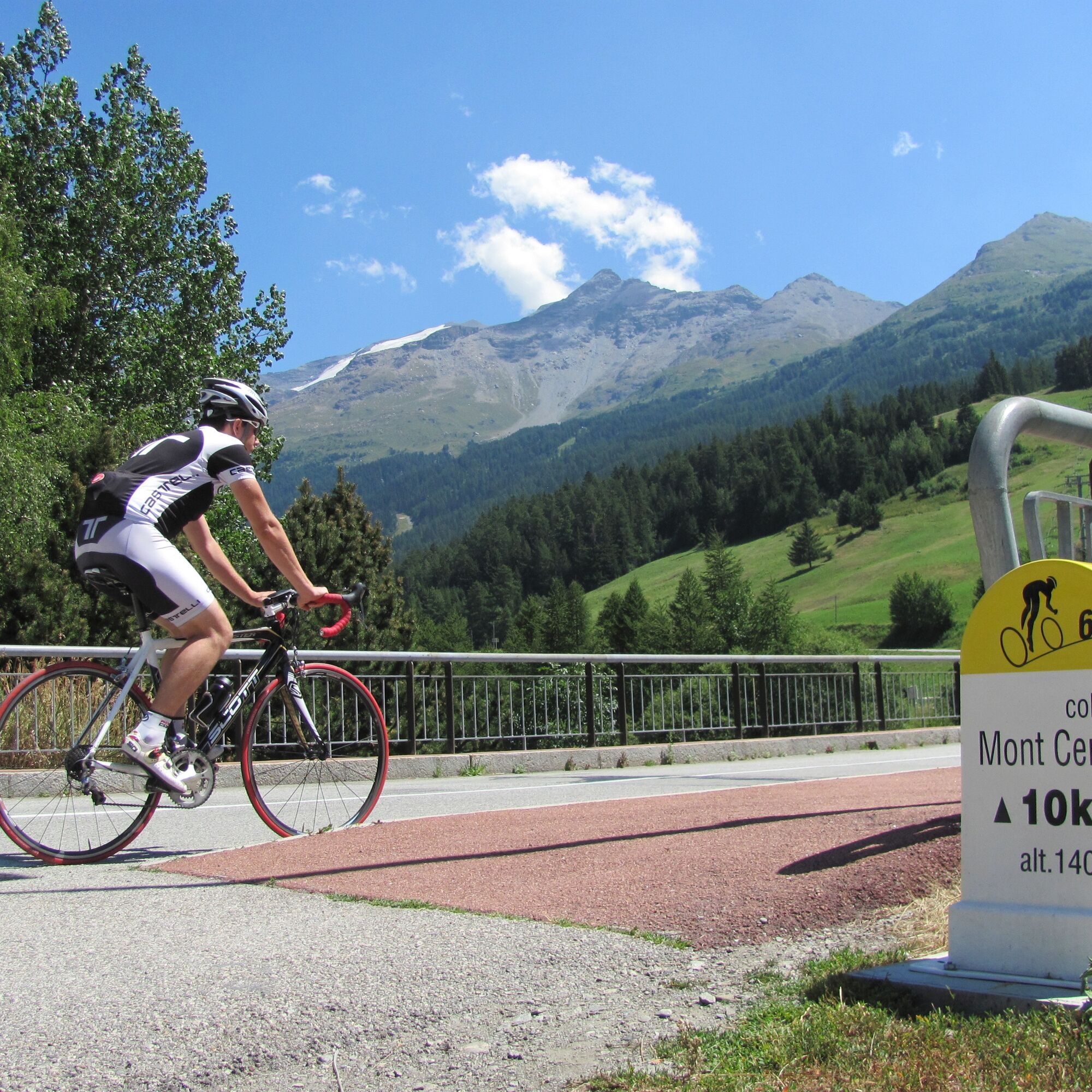
This pass is equipped with kilometre markers: every 1000m you are informed of the remaining kilometres, the altitude, and the average gradient of the next kilometre.
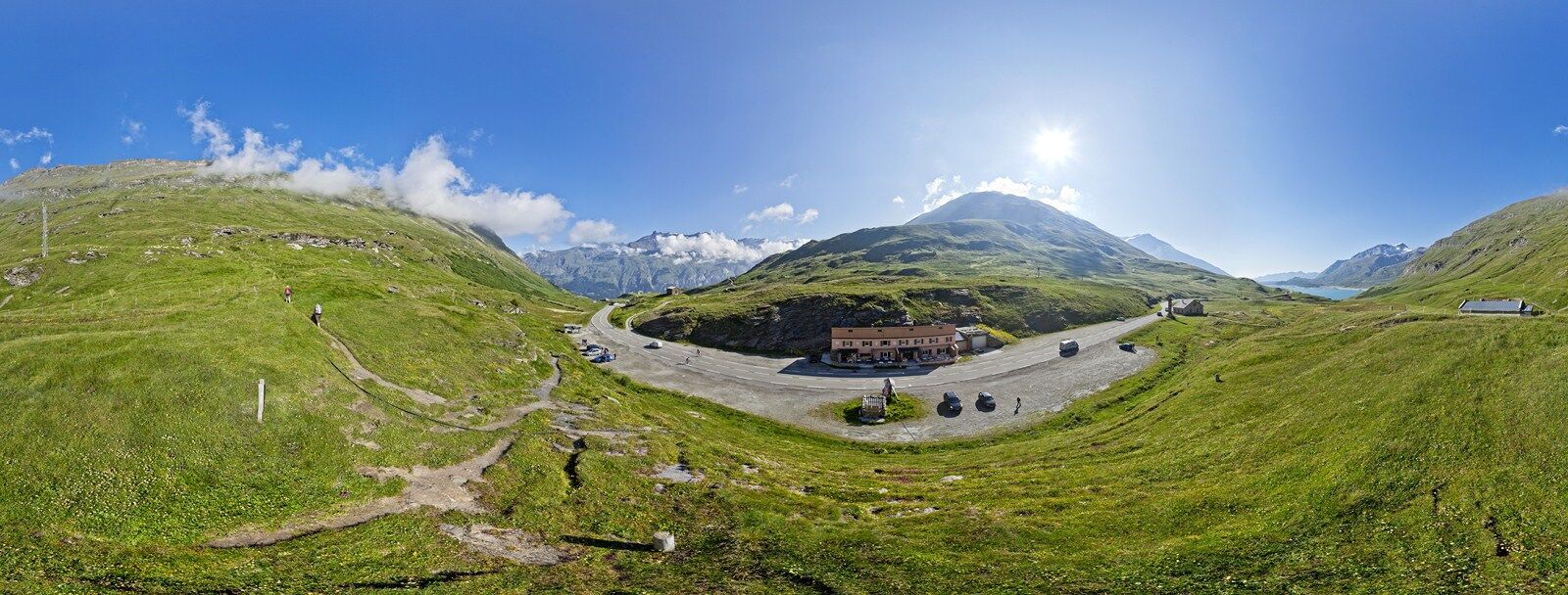
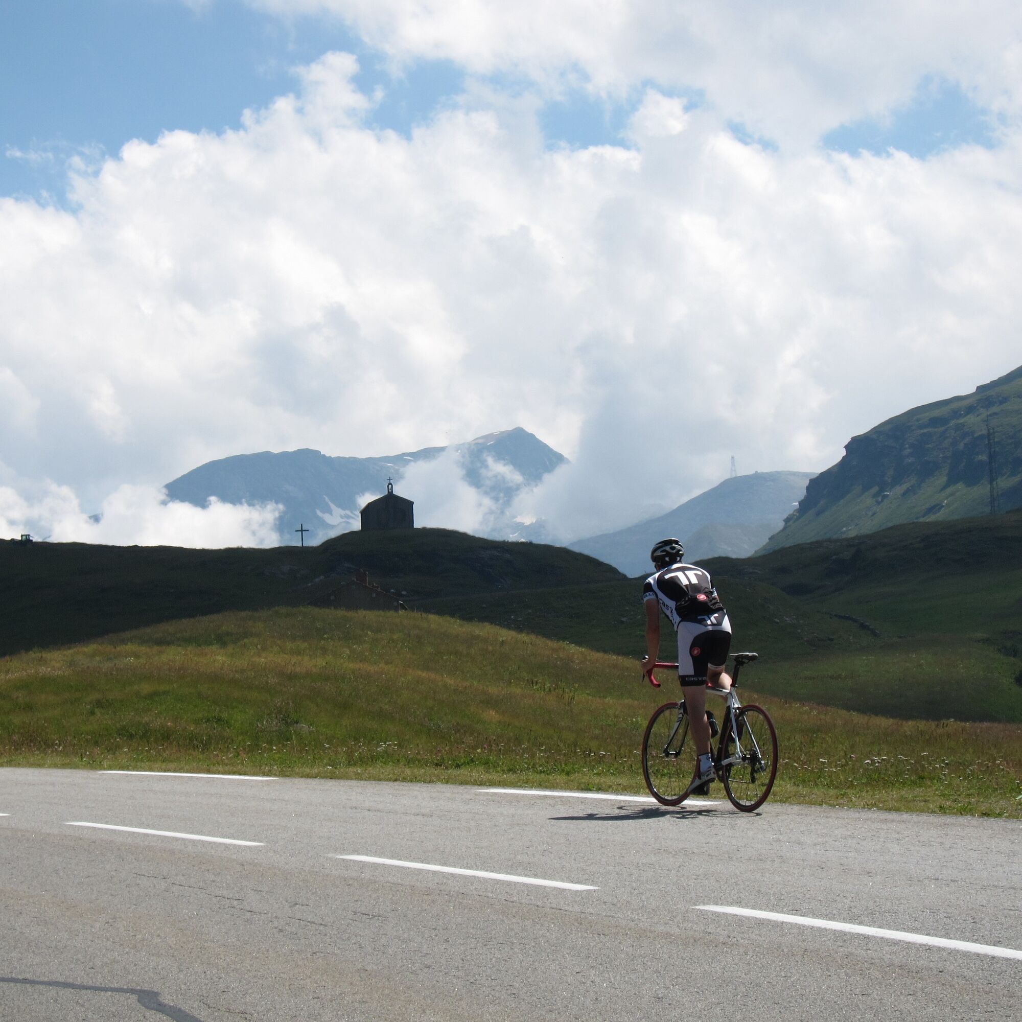
At the Mont-Cenis pass, you will find a small café, and the landscape opens up onto the plateau and the Mont-Cenis lake.
You are strongly encouraged to continue your route either towards the Mont-Cenis Pyramid which offers a magnificent panorama over the lake, or towards the Petit-Mont-Cenis pass which extends the climb into a preserved and beautiful valley.
The main difficulty of this route is the climb of the "bario" of Termignon. Just outside the village, you will have to tackle a very steep slope of more than 15% gradient for about half a kilometre.
Once this difficulty is past, you will easily reach the village of Lanslebourg downhill, the last village crossed before the 10 km ascent of the Mont-Cenis pass.
This pass is equipped with kilometre markers: every 1000m you are informed of the remaining kilometres, the altitude, and the average gradient of the next kilometre.
At the Mont-Cenis pass, you will find a small café, and the landscape opens up onto the plateau and the Mont-Cenis lake.
You are strongly encouraged to continue your route either towards the Mont-Cenis Pyramid which offers a magnificent panorama over the lake, or towards the Petit-Mont-Cenis pass which extends the climb into a preserved and beautiful valley.
Trasa
Modane
(1068 m)
Vesnice
1.4 km
Villarodin
(1179 m)
Vypořádání
4.8 km
Les Grands Prés
(1238 m)
Vypořádání
11.1 km
Lenfrey
(1233 m)
Vypořádání
12.7 km
Église Notre-Dame de l'Assomption
(1390 m)
Místo konání bohoslužeb
24.2 km
Lanslebourg-Mont-Cenis
(1390 m)
Vesnice
24.4 km
Chapelle Saint-Pierre
(2086 m)
Místo konání bohoslužeb
34.6 km
Trasa
Col du Mont Cenis from Modane
heavy
Silniční kolo
34.76
km
Modane
(1057 m)
Železniční stanice
0.1 km
Jardin public
(1060 m)
Dětské hřiště
1.4 km
Modane
(1068 m)
Vesnice
1.4 km
La Boucle
(1093 m)
Sousedství
2.3 km
Villarodin
(1179 m)
Vypořádání
4.8 km
Cascade du Nant - Avrieux
(1133 m)
Vodopád
6.7 km
Les Frênes
(1222 m)
Koridor/terén
10.8 km
Bramans
(1251 m)
Vesnice
11.0 km
Les Glières
(1226 m)
Koridor/terén
11.0 km
Les Grands Prés
(1238 m)
Vypořádání
11.1 km
Le Verney
(1222 m)
Vesnice
11.9 km
L'Ilaz
(1220 m)
Koridor/terén
12.0 km
Lenfrey
(1233 m)
Vypořádání
12.7 km
Plan de Serenaz
(1249 m)
Vypořádání
12.7 km
Champ-Jean
(1230 m)
Koridor/terén
12.7 km
Sollières-Sardières
(1299 m)
Vesnice
16.5 km
La tête à l'envers
(1274 m)
Restaurace
16.7 km
Termignon
(1296 m)
Vesnice
18.7 km
Val-Cenis
(1296 m)
Vesnice
18.7 km
Église Notre-Dame de l'Assomption
(1390 m)
Místo konání bohoslužeb
24.2 km
Lanslebourg-Mont-Cenis
(1390 m)
Vesnice
24.4 km
Sablons
(1416 m)
Stanice gondoly
25.2 km
Plan des Champs
(1509 m)
Stanice gondoly
26.6 km
Pré Novel
(1562 m)
Stanice gondoly
27.8 km
La ferme du XXIII
(1753 m)
Restaurace
30.4 km
Chapelle Saint-Pierre
(2086 m)
Místo konání bohoslužeb
34.6 km
Le Relais du Col
(2087 m)
Restaurace
34.6 km
Autor
Poskytuje Haute Maurienne Vanoise Tourisme
Prohlídku Col du Mont Cenis from Modane zajišťuje outdooractive.com.



Naposledy sledované
před 3 týdny

Informace o trase
Trasa
OPENING
From 01/05 to 15/11. Passable outside the snow period and depending on weather conditions. Check in advance with the Tourist Office about current conditions. Subject to favorable snow and weather conditions.
Jednosměrná prohlídka
Ano
Bezpečnostní pokyny
In case of emergency, call 112
Další informace a tipy
Další informace
APIDAE Tourism data updated on 30/07/2021 by "Maurienne Tourisme".
A mistake on this sheet? Write to the owner recalling these references:
Sheet name: Mont-Cenis Pass from Modane | Sheet ID: 762510 | URL (link) of this Outdooractive page.
A mistake on this sheet? Write to the owner recalling these references:
Sheet name: Mont-Cenis Pass from Modane | Sheet ID: 762510 | URL (link) of this Outdooractive page.
Zatím žádné recenze
Webové kamery z prohlídky
Získejte přehled
Vždy živě na místě s více než 9 500 webkamerami. bergfex Jako uživatel Pro si nyní můžete zobrazit odpovídající webové kamery pro mnoho prohlídek v aplikaci prohlídky z. Můžete si tak přímo prohlédnout aktuální podmínky.
Oblíbené prohlídky v okolí
-
5.0
BARDONECCHIA Colle Sommeiller
středníMountainbike 25.4 km -
4.5
Hiking at Lake Clair
heavyTuristika 6.99 km -
little 'Haute-Maurienne Vanoise' circuit
heavySilniční kolo 32.0 km -
Refuge du Fond d'Aussois - a wild valley in the Vanoise - 2-day hike
světloTuristika 9.22 km -
The White Lake
světloTuristika 4.42 km -
BARDONECCHIA Decauville Loop - Scarfiotti Refuge
světloMountainbike 34.0 km -
Col de l'Iseran from Modane
heavySilniční kolo 59.5 km -
Tour of the Bellecombe lakes
heavyTuristika 10.2 km -
5.0
The Builder's Trail on foot
světloTematická stezka 7.23 km -
5.0
Girarde footpath
světloTuristika 8.10 km

Pěší turistika a stopování

Více než 550.000 návrhů výletů, podrobné mapy a intuitivní plánovač tras dělají z aplikace nezbytnou výbavu pro všechny milovníky přírody.

Nenechte si ujít nabídky a inspiraci pro vaši příští dovolenou
Přihlaste se k odběru newsletteru
Chyba
Došlo k chybě. Zkuste to prosím znovu.
Děkujeme za vaši registraci
Vaše e-mailová adresa byl přidán do poštovního seznamu.
Zájezdy po celé Evropě
Rakousko
Švýcarsko
Německo
Itálie
Slovenia
Francie
Nizozemsko
Belgie
Polsko
Lichtenštejnsko
Česko
Slovensko
Španělsko
Chorvatsko
Bosna a Hercegovina
Lucembursko
Andorra
Portugal
Iceland
United Kingdom
Ireland
Greece
Albania
North Macedonia
Malta
Norway
Montenegro
Moldova
Kosovo
Hungary
San Marino
Romania
Estonia
Latvia
Belarus
Cyprus
Lithuania
Serbia
Bulgaria
Monaco
Denmark
Sweden
Finland





