


BARDONECCHIA Decauville Loop - Scarfiotti Refuge
Úroveň obtížnosti: S1

The route initially retraces the legendary climb to the Jafferau Basins which was the finish line of a Giro d’Italia stage in 1972, 2013 and 2018. Along the climb you cross the characteristic villages...
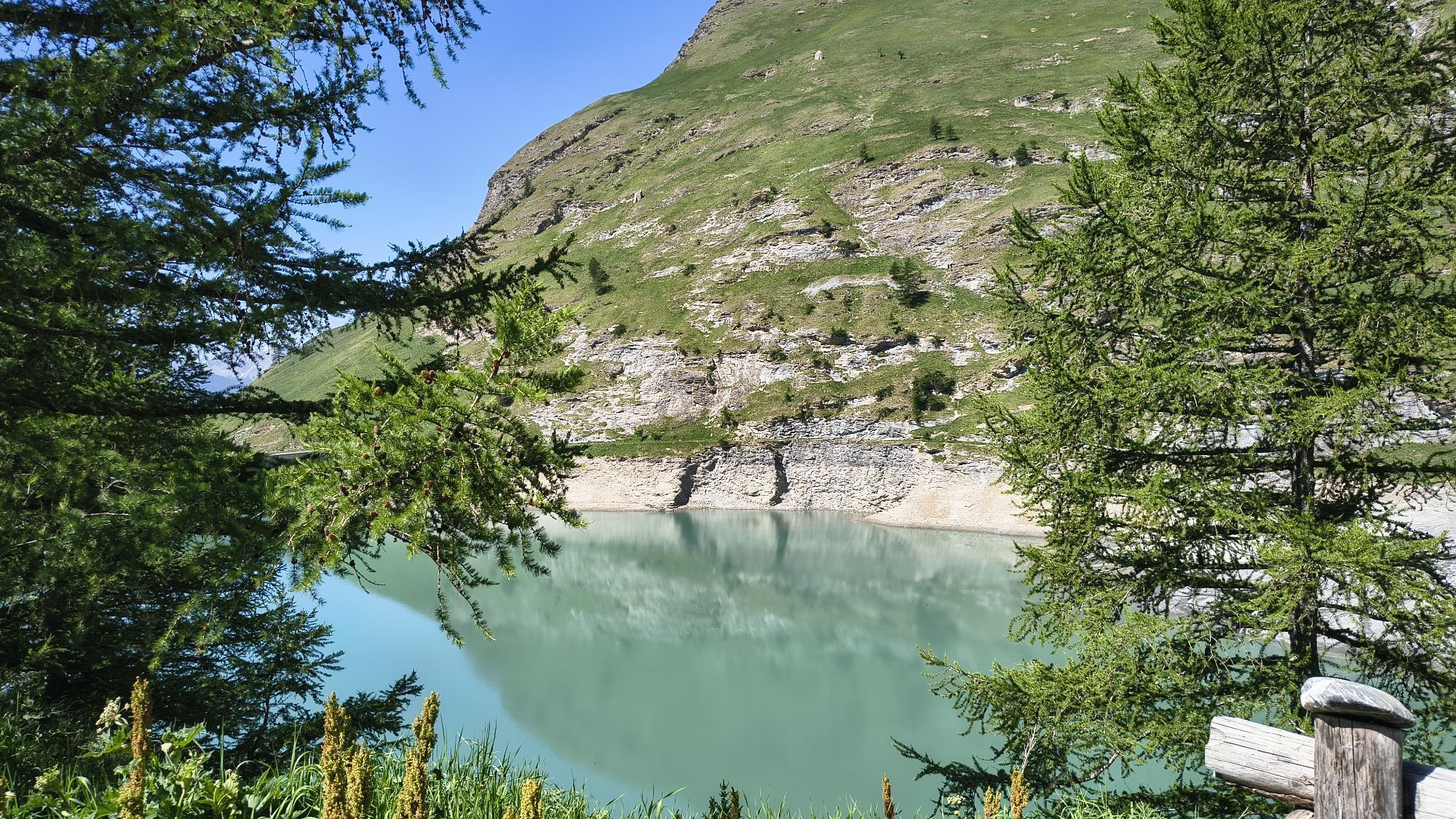
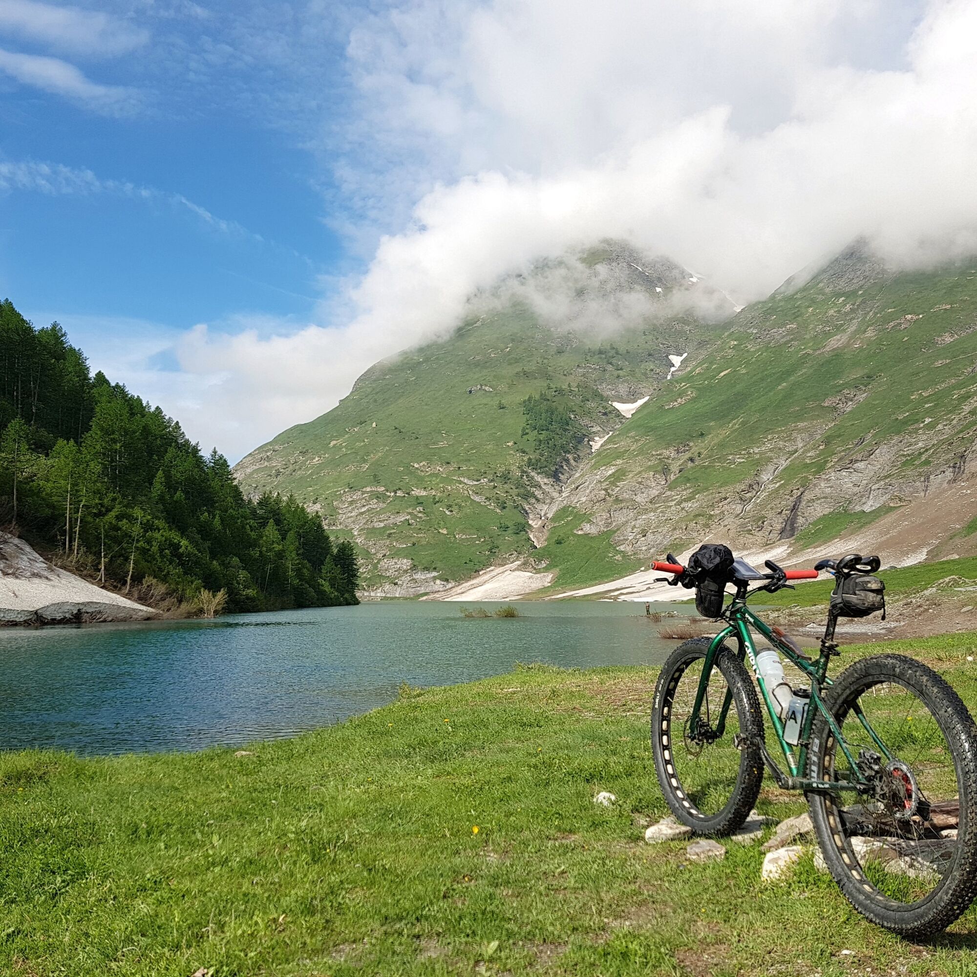
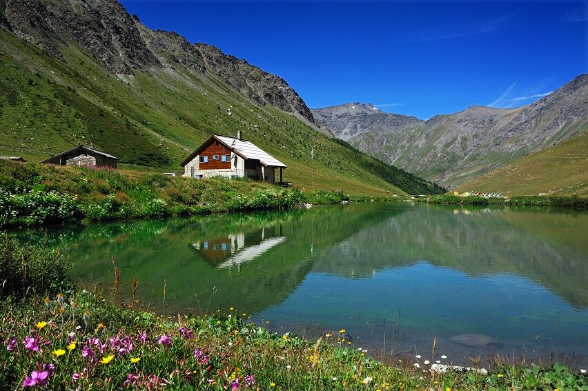
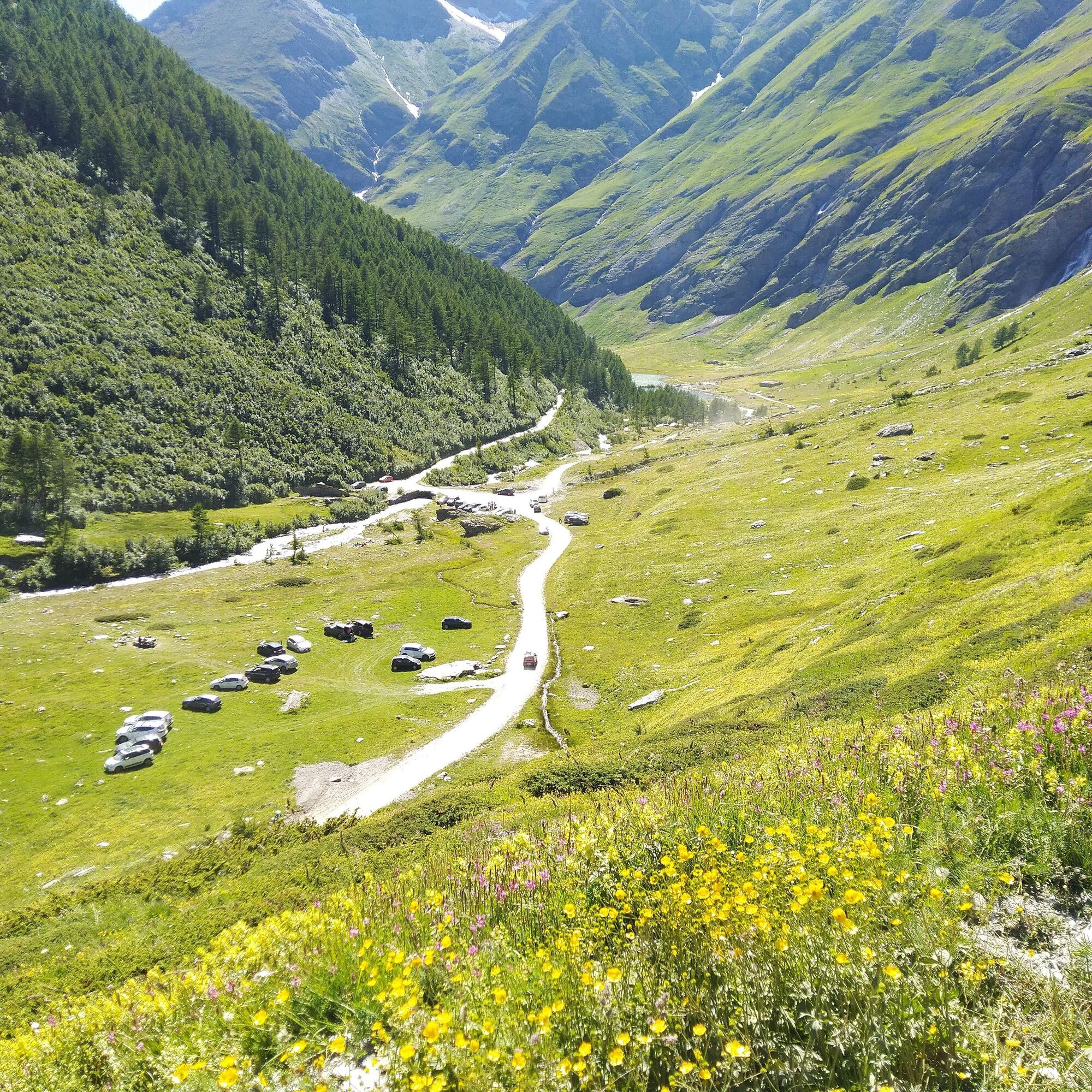
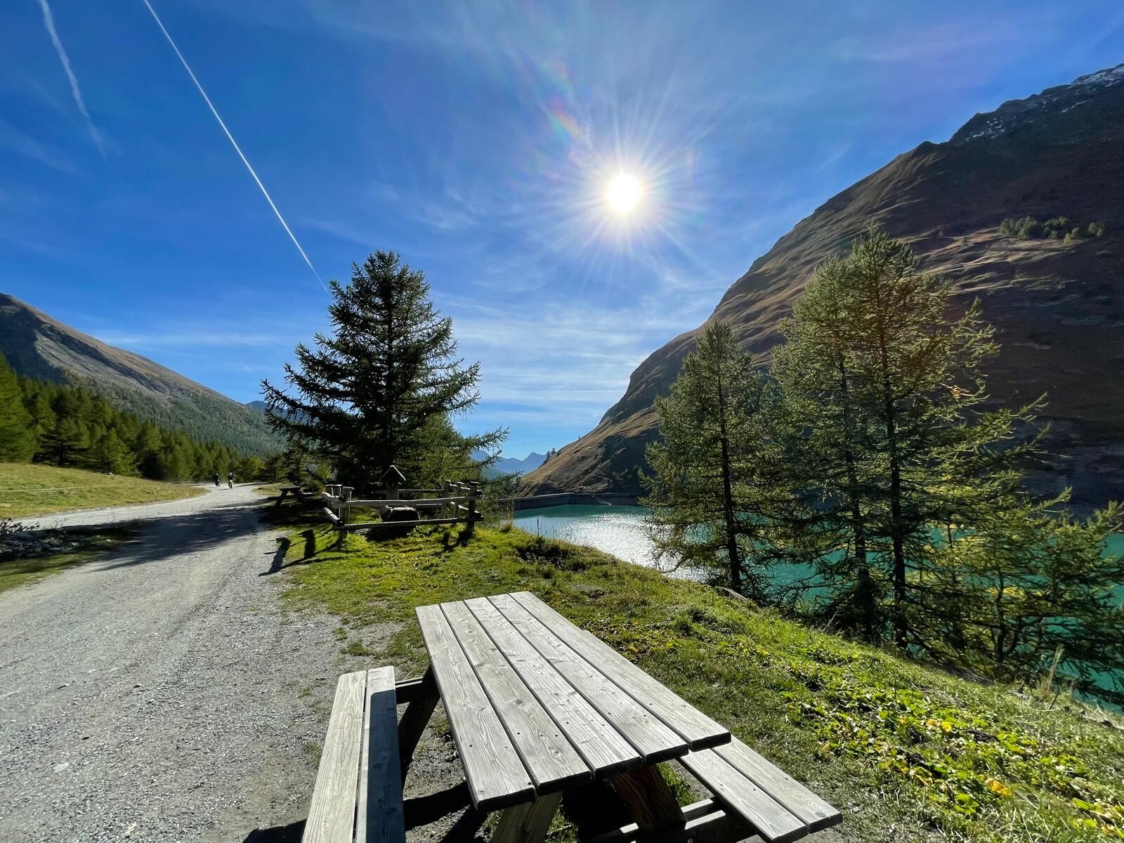
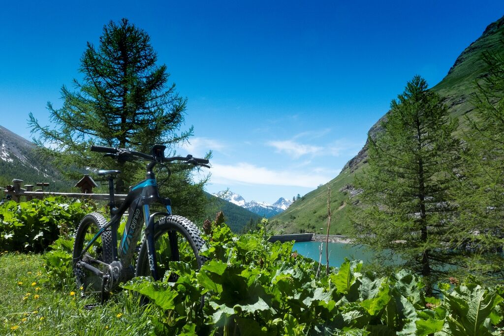
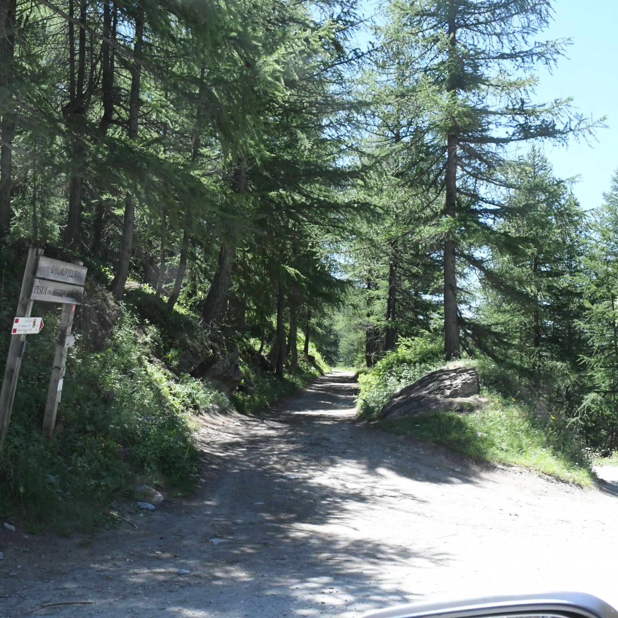
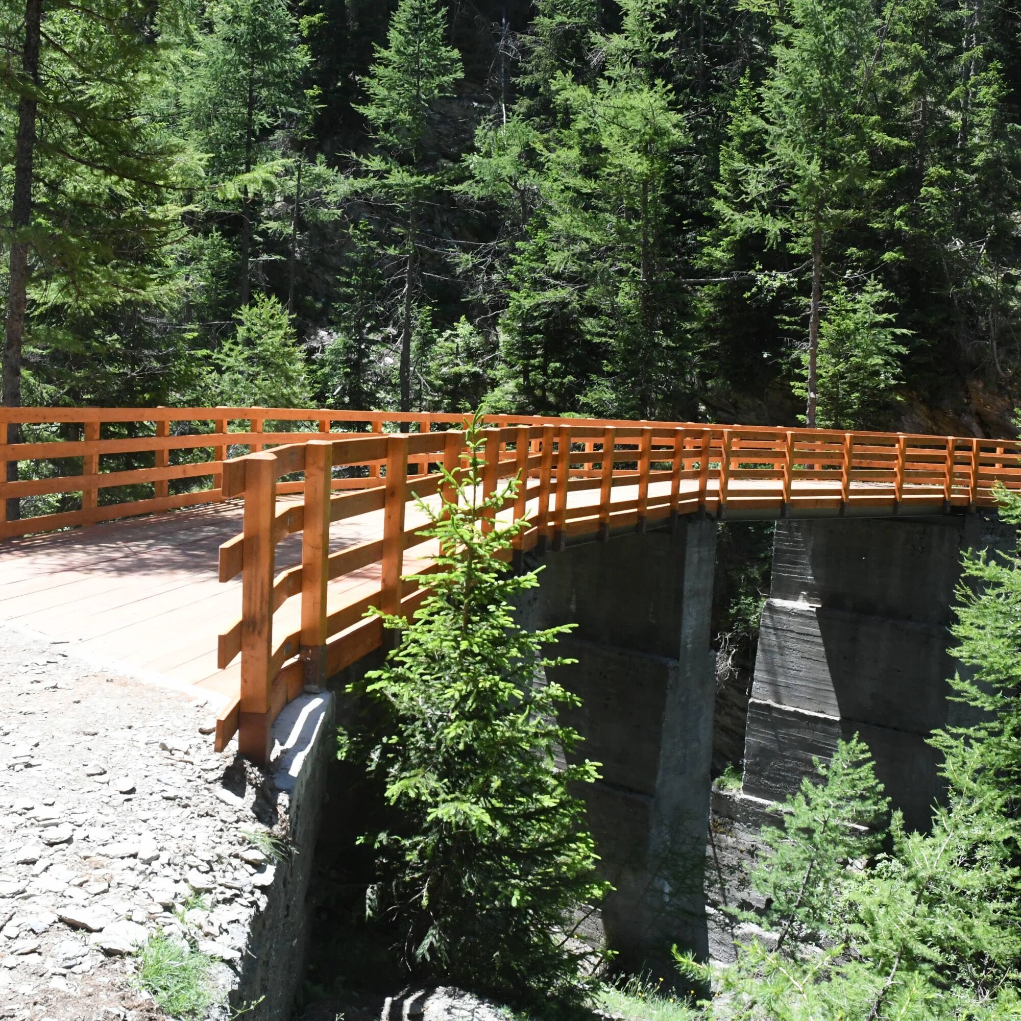
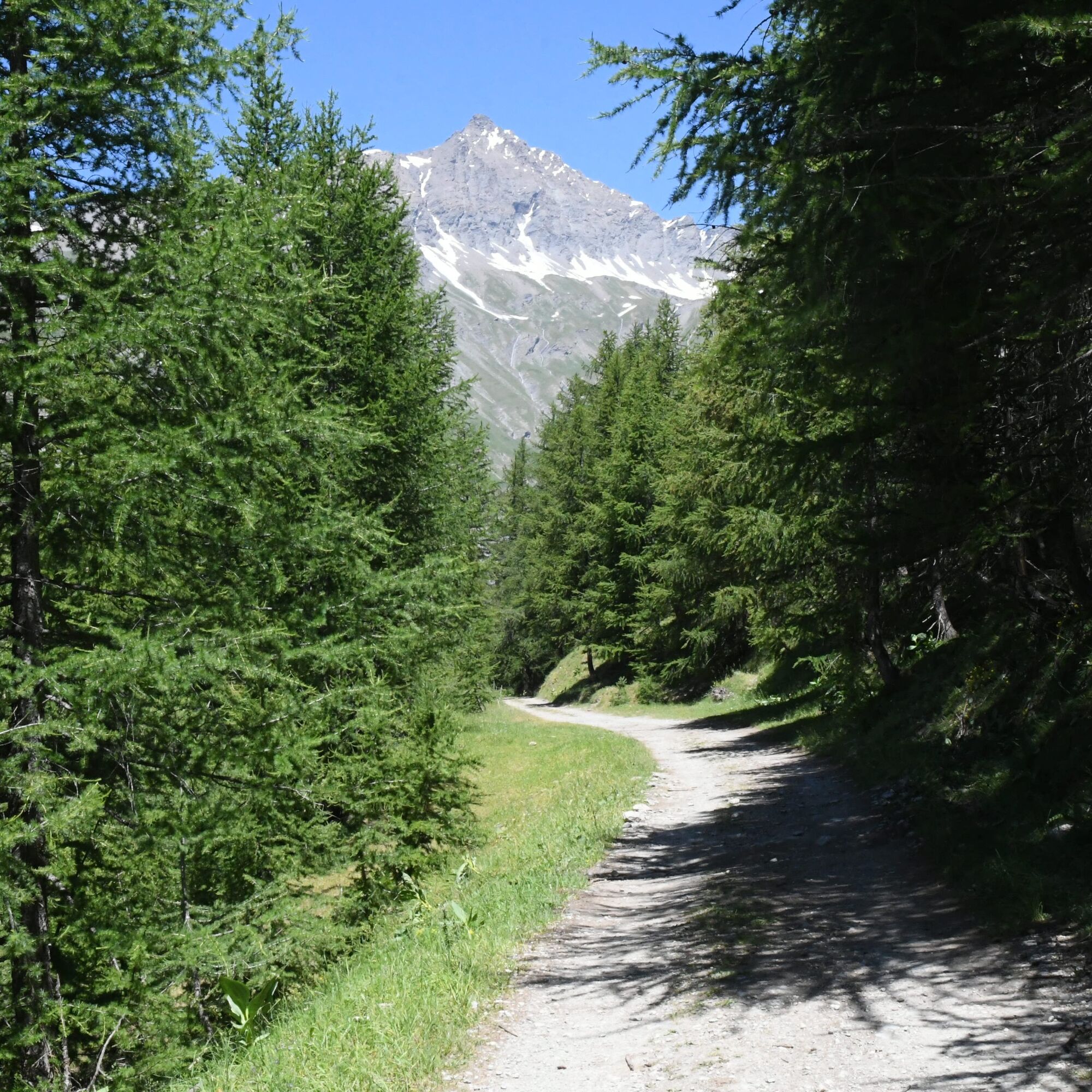
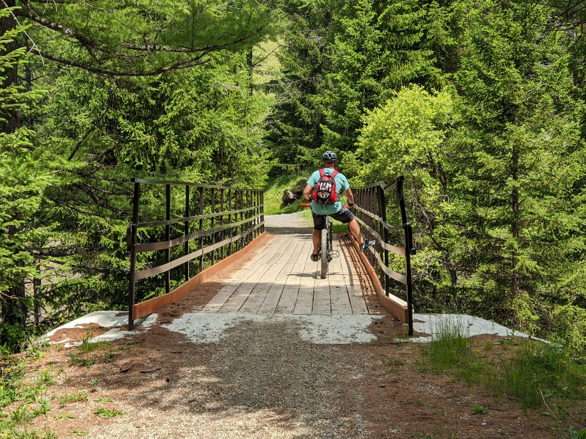
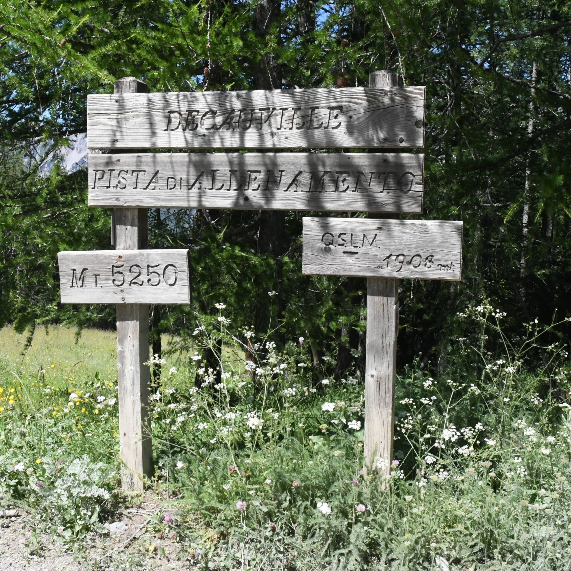
The route initially retraces the legendary climb to the Jafferau Basins which was the finish line of a Giro d’Italia stage in 1972, 2013 and 2018. Along the climb you cross the characteristic villages of Millaures and Gleise. The route enters the woods following the track of the now abandoned Decauville railway and passes by the Beatrix Alpine Pasture. The route continues on the dirt road that climbs from Rochemolles up to reach the evocative Rochemolles Dam and finally the Scarfiotti Refuge with a small lake and waterfalls behind it. The descent runs along the Rochemolles Valley on the road that leads to the hamlet of Rochemolles.
The Decauville Railway line was built in the 1920s and 1930s to transport materials needed for the construction of the Rochemolles Dam.
Technical advice by Andrea Calzati - Cycling guide
From Piazza Statuto take Via Sommeiller and then turn right on the bridge following the signs for Millaures and Gleise. Climb along the paved road up to the Frejusia Basins, from which the flat dirt road Decauville starts. Follow it all the way until it joins the road coming from Rochemolles and climb up to the Dam. Go alongside it and continue up to the Grange du Fond plateau, where the Scarfiotti Refuge is located. To return to Bardonecchia, descend along the dirt road to the village of Rochemolles and then continue on the paved road until you reach Via Sommeiller and then Piazza Statuto.
MTB
E-bike
Gravel
Road closed to motor vehicles from the Frejusia Basins to the dirt road junction from Rochemolles and on Tuesdays and Thursdays from Rochemolles to the Scarfiotti Refuge
By car:
- A32 Motorway Torino - Bardonecchia, Bardonecchia exit
- State Road 24: Torino - Oulx and then State Road 335: Oulx - Bardonecchia
Once you reach Bardonecchia, head towards Piazza Statuto
By train:
- line Torino Porta Nuova - Bardonecchia
From Bardonecchia train station head towards Piazza Statuto
Parking at Piazza Statuto (except on Saturday mornings, which is market day)
S1
For about twenty days between July and August it is possible to reach the Bacini Frejusia area using the Jafferau cable car.
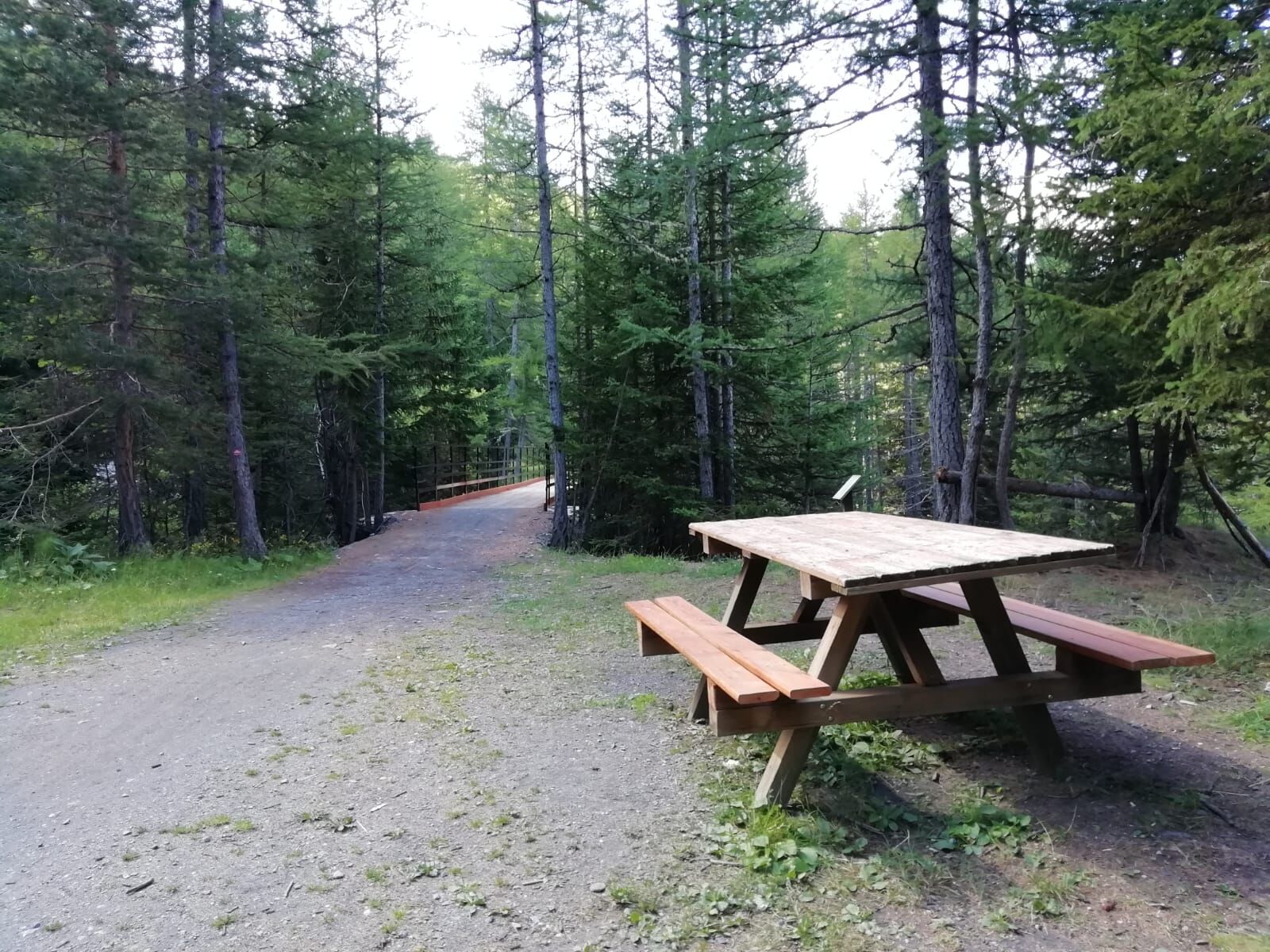
Take a break at the Scarfiotti Refuge or at the Rochemolles Dam for a picnic.
Buy a dairy product at the Beatrix Alpine Pasture.


Oblíbené prohlídky v okolí
- 5,0
BARDONECCHIA Colle Sommeiller
středníMountainbike 25,4 km - 4,5
BARDONECCHIA Pian del Colle - Valle Stretta
středníSněžnice 5,02 km - 5,0
BARDONECCHIA Forte Jafferau Loop
heavyMountainbike 36,8 km - 5,0
BARDONECCHIA Green Lake
světloTuristika 2,14 km - 4,5
BARDONECCHIA Walter Bonatti Path - Grange della Rho
středníTuristika 6,06 km - 5,0
BARDONECCHIA Decauville
středníTuristika 7,29 km - 5,0
BARDONECCHIA Col des Acles - Passo della Mulattiera
středníTuristika 6,23 km BARDONECCHIA - Loop Colle della Scala - Col de Montgenèvre - Colle del Sestriere
heavySilniční kolo 91,9 kmBARDONECCHIA Lago Verde
světloMountainbike 10,7 kmBARDONECCHIA Monte Jafferau
heavyTuristika 11,6 km
Pěší turistika a stopování


Nenechte si ujít nabídky a inspiraci pro vaši příští dovolenou
Vaše e-mailová adresa byl přidán do poštovního seznamu.