Mountain bike route 161 - Through combes and valleys
heavy
Pořiďte si tuto prohlídku do mobilního telefonu
Mountain bike route 161 - Through combes and valleys
heavy
Mountainbike
22.82
km
Naskenujte QR kód a spusťte navigaci v aplikaci bergfex.


Pěší turistika a stopování





Mountain bike route 161 - Through combes and valleys
heavy
Vzdálenost
22.82
km
Doba trvání
02:46
h
Ascent
555
hm
Hladina moře
330 -
703
m
Stažení skladby
Mountain bike route 161 - Through combes and valleys
heavy
Mountainbike
22.82
km
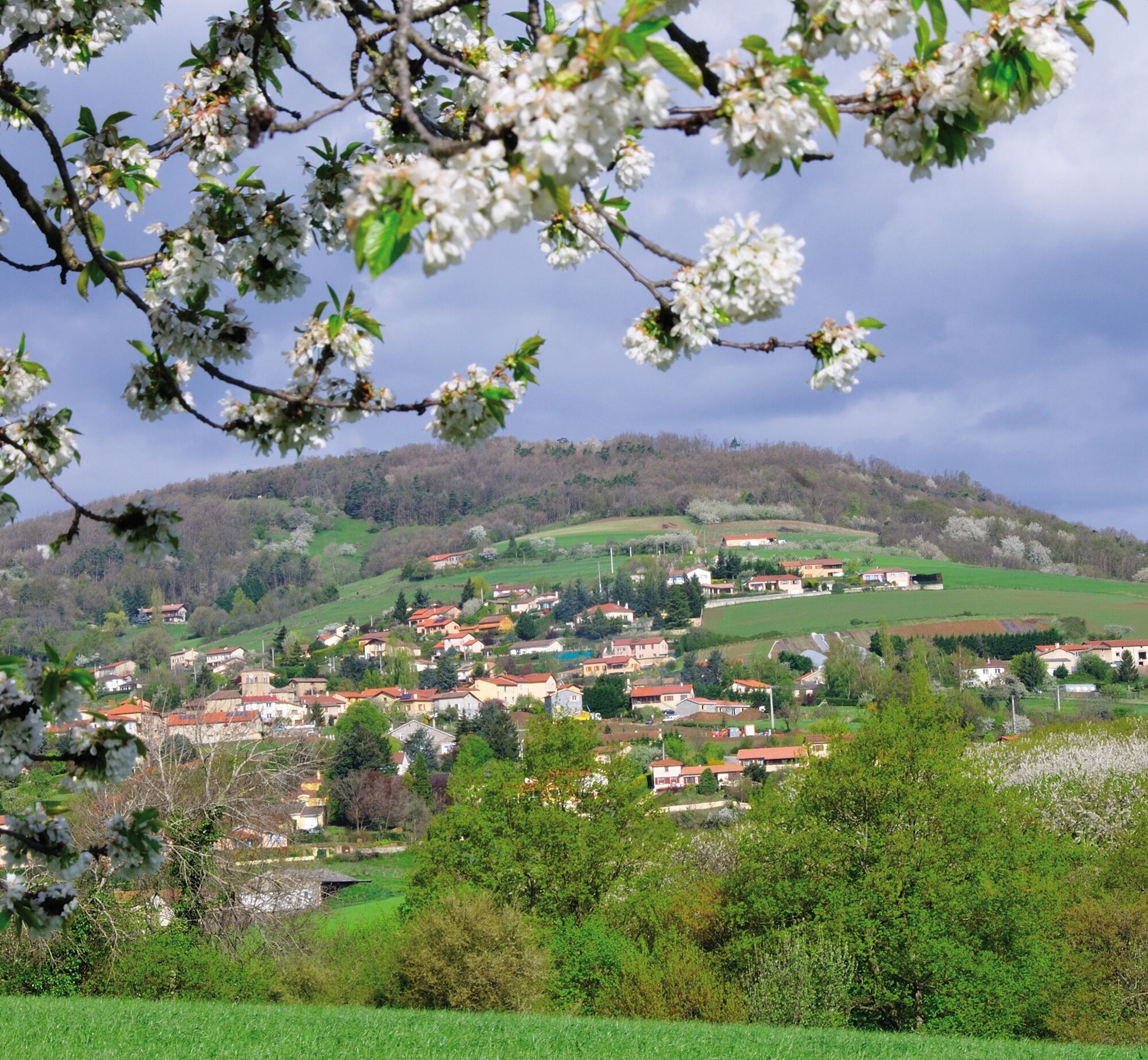
The break at Adret is welcome and marks the end of sore calves. The descent is on a singletrack to Arvin then by a track to Chaussan and Mornant. Route with a nice density.
Trasa
Mornant
(366 m)
Vesnice
0.0 km
La Grimodière
(373 m)
Vypořádání
5.5 km
La Fillonnière
(498 m)
Vypořádání
9.9 km
Les Maillardes
(635 m)
Koridor/terén
16.4 km
Église Saint-Jean-Baptiste
(473 m)
Místo konání bohoslužeb
18.6 km
Le Perret
(444 m)
Vypořádání
19.3 km
Le Champ
(400 m)
Vypořádání
21.4 km
Trasa
Mountain bike route 161 - Through combes and valleys
heavy
Mountainbike
22.82
km
Mornant
(366 m)
Vesnice
0.0 km
Le Bois
(393 m)
Vypořádání
1.9 km
La Petite Plaine
(393 m)
Vypořádání
2.1 km
Charvon
(377 m)
Vypořádání
5.4 km
La Grimodière
(373 m)
Vypořádání
5.5 km
Thurigneux
(392 m)
Vypořádání
6.0 km
Combe Boiron
(420 m)
Vypořádání
7.4 km
Missilieu
(402 m)
Vypořádání
8.6 km
La Fillonnière
(498 m)
Vypořádání
9.9 km
Les Moussières
(661 m)
Koridor/terén
14.4 km
L'Adret
(701 m)
Vypořádání
15.1 km
Saint-Genoux
(611 m)
Vypořádání
16.4 km
Les Maillardes
(635 m)
Koridor/terén
16.4 km
La Fare
(598 m)
Koridor/terén
17.2 km
La Roche
(551 m)
Koridor/terén
17.6 km
Sur le Bourg
(503 m)
Koridor/terén
18.0 km
BAR DE LA POSTE
(473 m)
Restaurace
18.5 km
Chaussan
(473 m)
Vesnice
18.5 km
Église Saint-Jean-Baptiste
(473 m)
Místo konání bohoslužeb
18.6 km
La Grange
(464 m)
Koridor/terén
18.7 km
Le Perret
(444 m)
Vypořádání
19.3 km
Le Calichet
(385 m)
Sousedství
21.4 km
Le Champ
(400 m)
Vypořádání
21.4 km
La Grange Dodieu
(370 m)
Sousedství
22.5 km
Mornant
(366 m)
Vesnice
22.7 km
Autor
Poskytuje Monts du Lyonnais
Prohlídku Mountain bike route 161 - Through combes and valleys zajišťuje outdooractive.com.


Další informace a tipy
Další informace
Adapt your equipment and route choice according to your level and the weather. Do not leave the trails.
Zatím žádné recenze
Oblíbené prohlídky v okolí
- 5.0
Mont Monnet and Rigotte de Condrieu
světloTuristika 9.39 km - 5.0
Walk to the Garon siphon bridge of the Roman Aqueduct of Gier
světloTuristika 6.08 km The Signal - Monts du Lyonnais - Saint-André-la Côte
světloTuristika 14.5 kmRoman Gier Aqueduct path
heavyTuristika 44.4 kmThe Tacot, ephemeral journey
světloTematická stezka 1.91 kmWine trails at the heart of the vineyards
světloTuristika 4.92 kmHealth-sport hike: the Croix Forest bridge
světloTuristika 9.78 kmWalking towards the Aqueduct of Gier - Monts du Lyonnais - Chaponost
světloTuristika 8.25 kmFamily hike "In the heart of the orchards"
světloTuristika 4.04 kmMTB Route 231 - Les Landes de Montagny
heavyMountainbike 19.9 km
Pěší turistika a stopování

Více než 550.000 návrhů výletů, podrobné mapy a intuitivní plánovač tras dělají z aplikace nezbytnou výbavu pro všechny milovníky přírody.

Nenechte si ujít nabídky a inspiraci pro vaši příští dovolenou
Přihlaste se k odběru newsletteru
Chyba
Došlo k chybě. Zkuste to prosím znovu.Děkujeme za vaši registraci
Vaše e-mailová adresa byl přidán do poštovního seznamu.
Zájezdy po celé Evropě
Rakousko Švýcarsko Německo Itálie Slovenia Francie Nizozemsko Belgie Polsko Lichtenštejnsko Česko Slovensko Španělsko Chorvatsko Bosna a Hercegovina Lucembursko Andorra Portugal Iceland United Kingdom Ireland Greece Albania North Macedonia Malta Norway Montenegro Moldova Kosovo Hungary San Marino Romania Estonia Latvia Belarus Cyprus Lithuania Serbia Bulgaria Monaco Denmark Sweden Finland





