Mont Monnet and Rigotte de Condrieu
světlo
Navigace na stránkách
Navigace na stránkách
Pořiďte si tuto prohlídku do mobilního telefonu
Mont Monnet and Rigotte de Condrieu
světlo
Turistika
9.39
km
Naskenujte QR kód a spusťte navigaci v aplikaci bergfex.

Pěší turistika a stopování


Mont Monnet and Rigotte de Condrieu
světlo
Vzdálenost
9.39
km
Doba trvání
03:00
h
Ascent
410
hm
Hladina moře
458 -
777
m
Stažení skladby
Mont Monnet and Rigotte de Condrieu
světlo
Turistika
9.39
km
Hiking on Mont Monnet - Pilat Regional Nature Park
YOU WILL PARTICULARLY ENJOY:
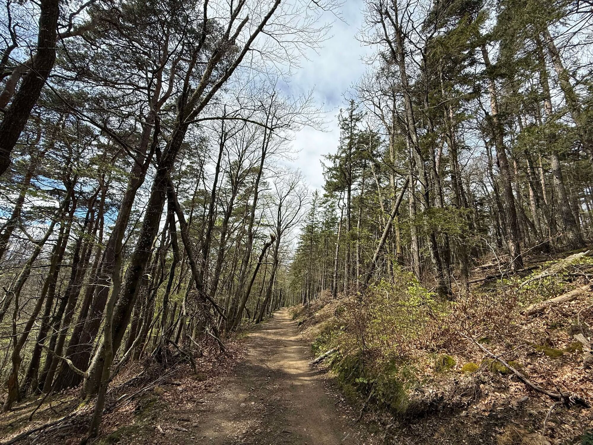
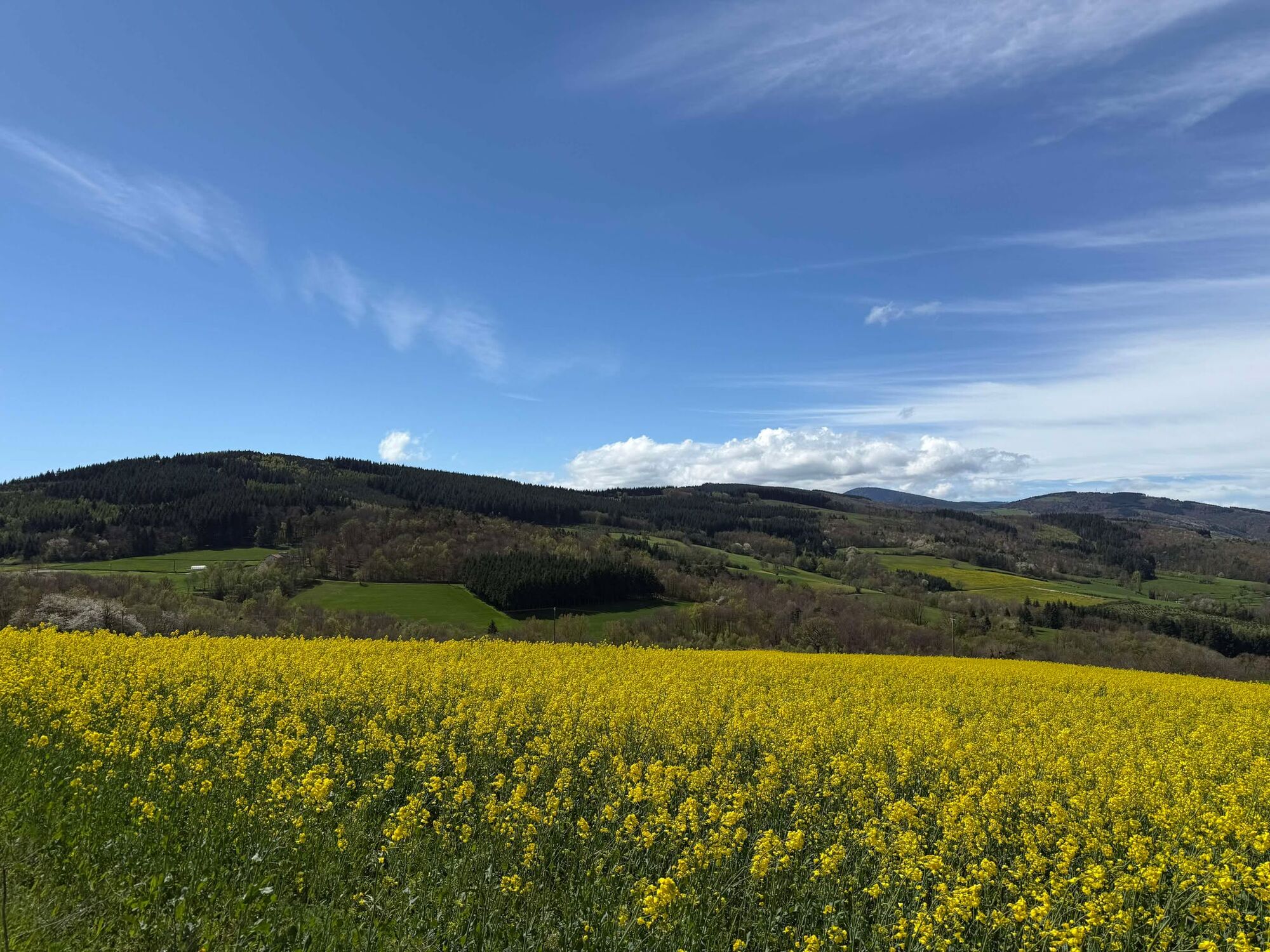
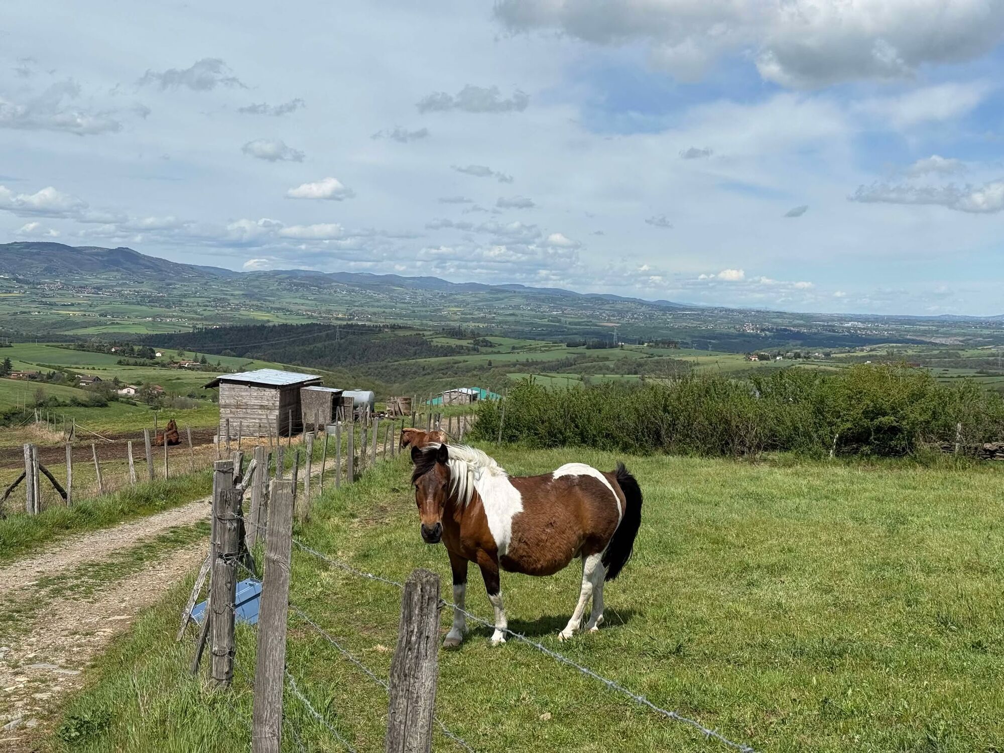
- Immersing yourself in the Pilat Regional Nature Park, which is wild, agricultural and mountainous all at once.
- Viewpoints...
Popis
Hiking on Mont Monnet - Pilat Regional Nature Park
YOU WILL PARTICULARLY ENJOY:
- Immersing yourself in the Pilat Regional Nature Park, which is wild, agricultural and mountainous all at once.
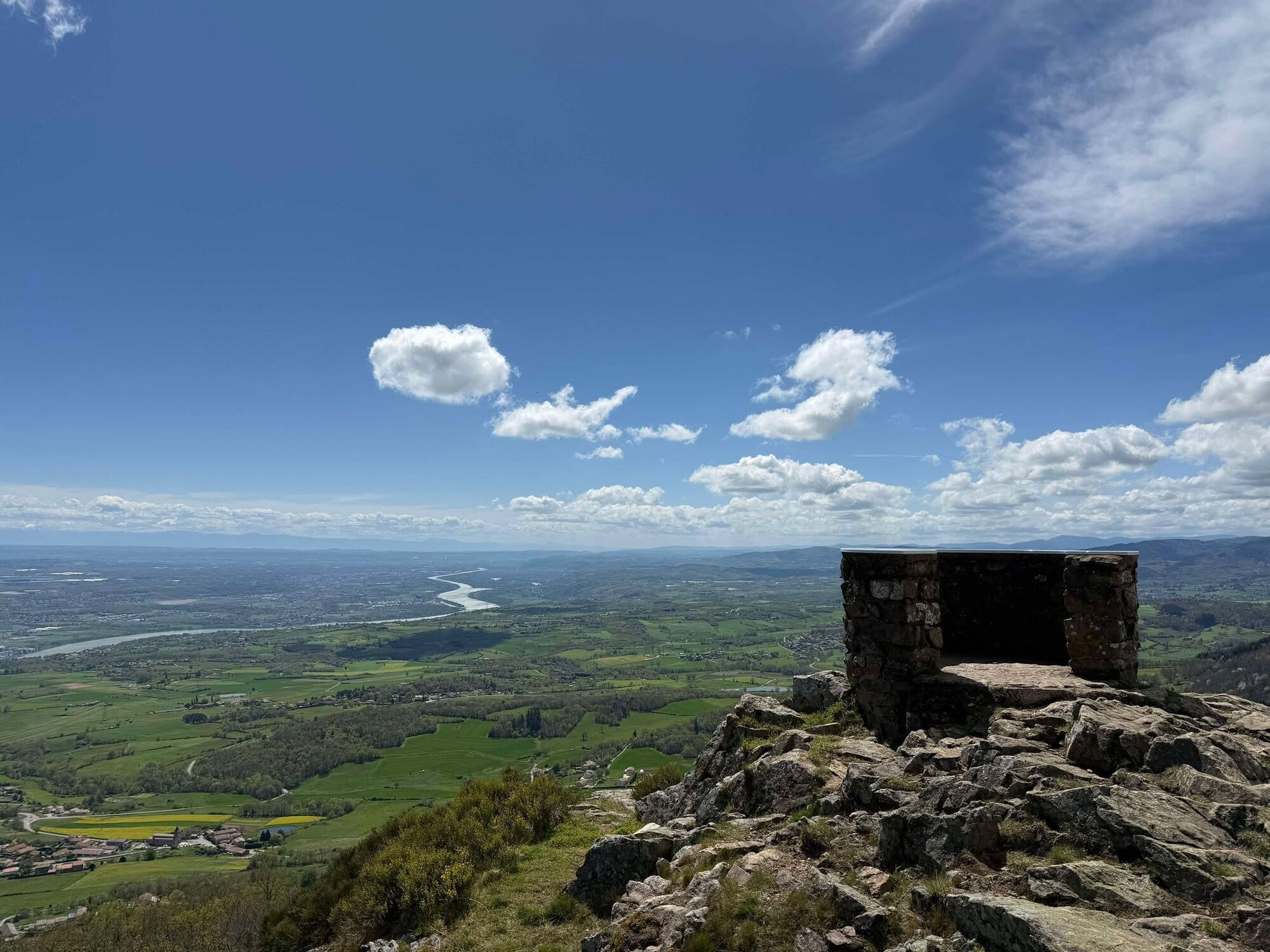
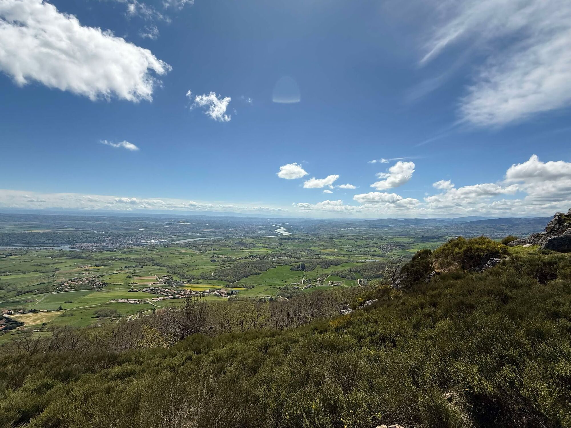
- Viewpoints offering sweeping panoramic views of the Rhône, Mont Blanc, Mont Ventoux and the Vercors.
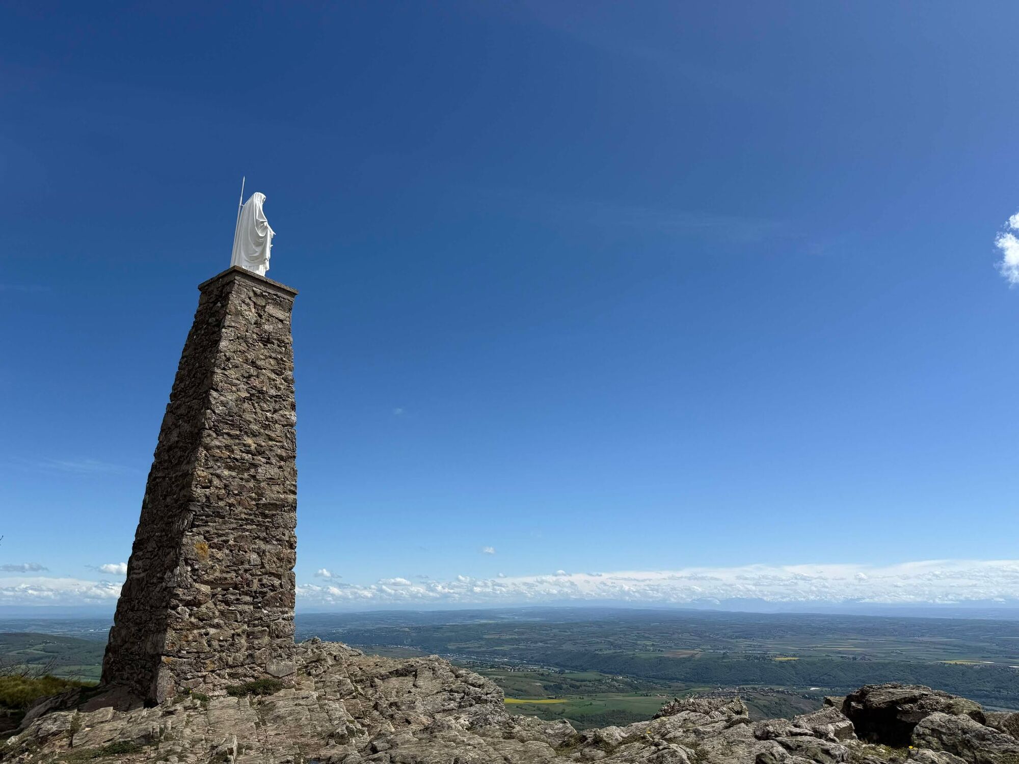
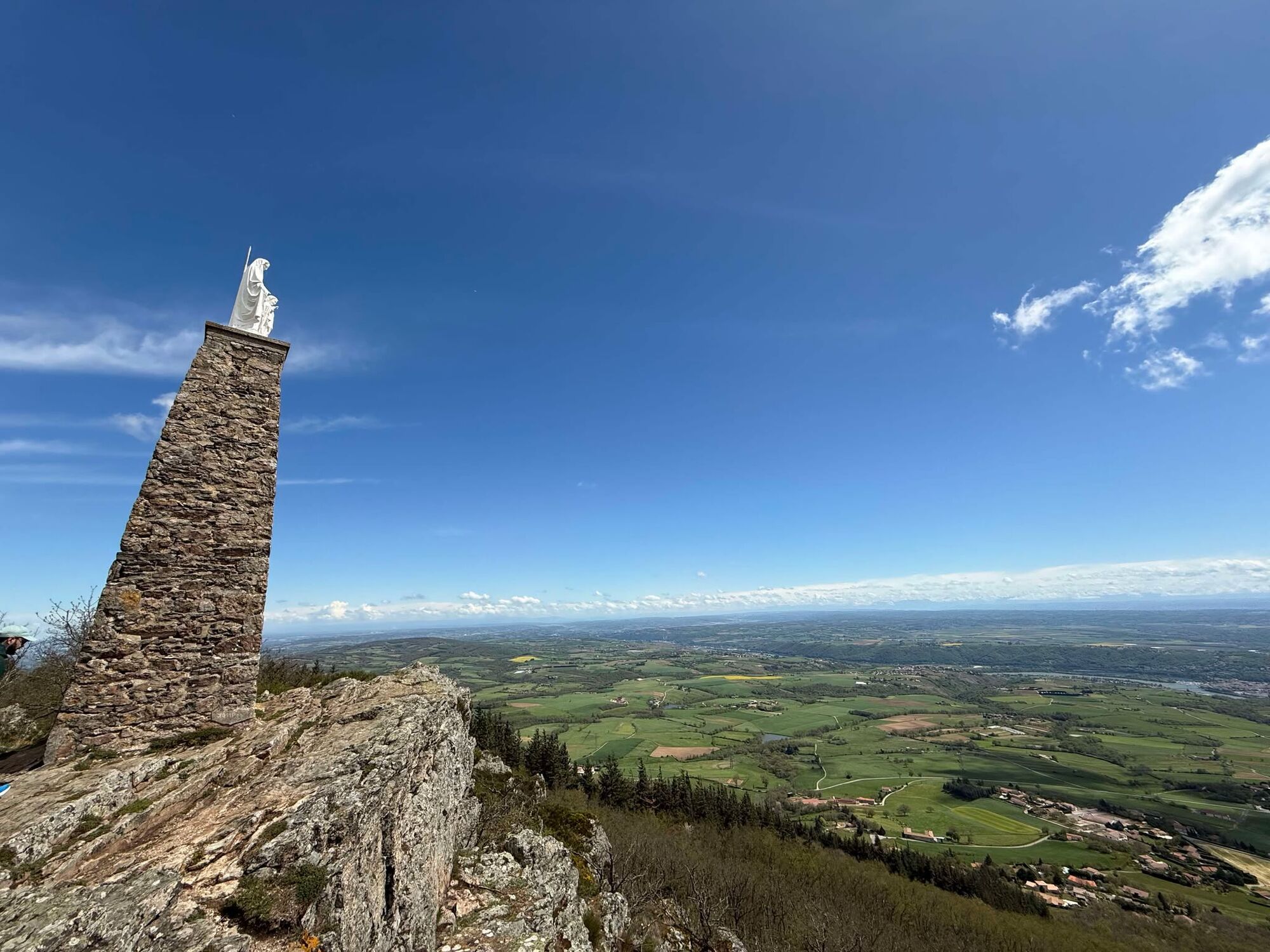
- Mont Monnet (781 m), the northernmost point of the Pilat ridge.
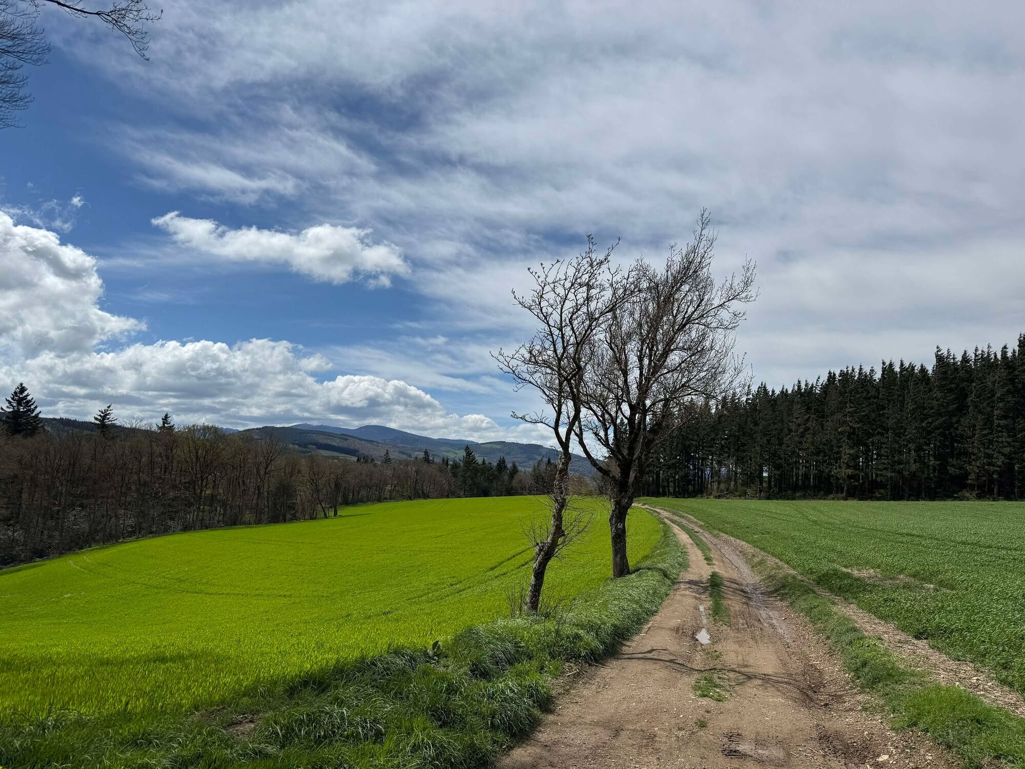
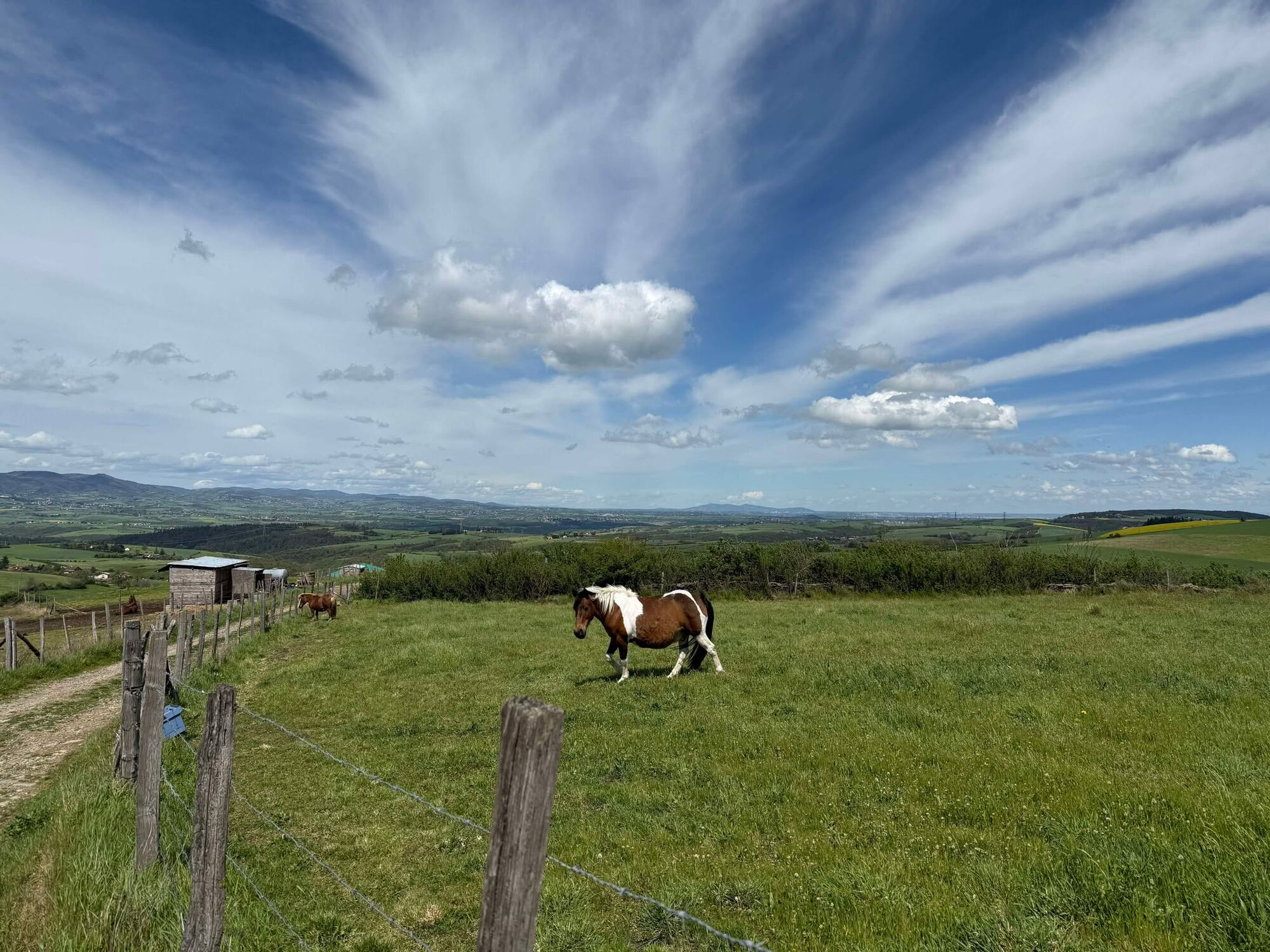
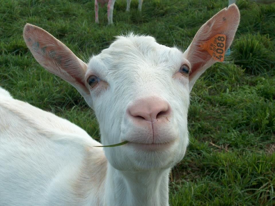
- The alternation between deep forests and livestock plateaus where Rigotte goats graze.
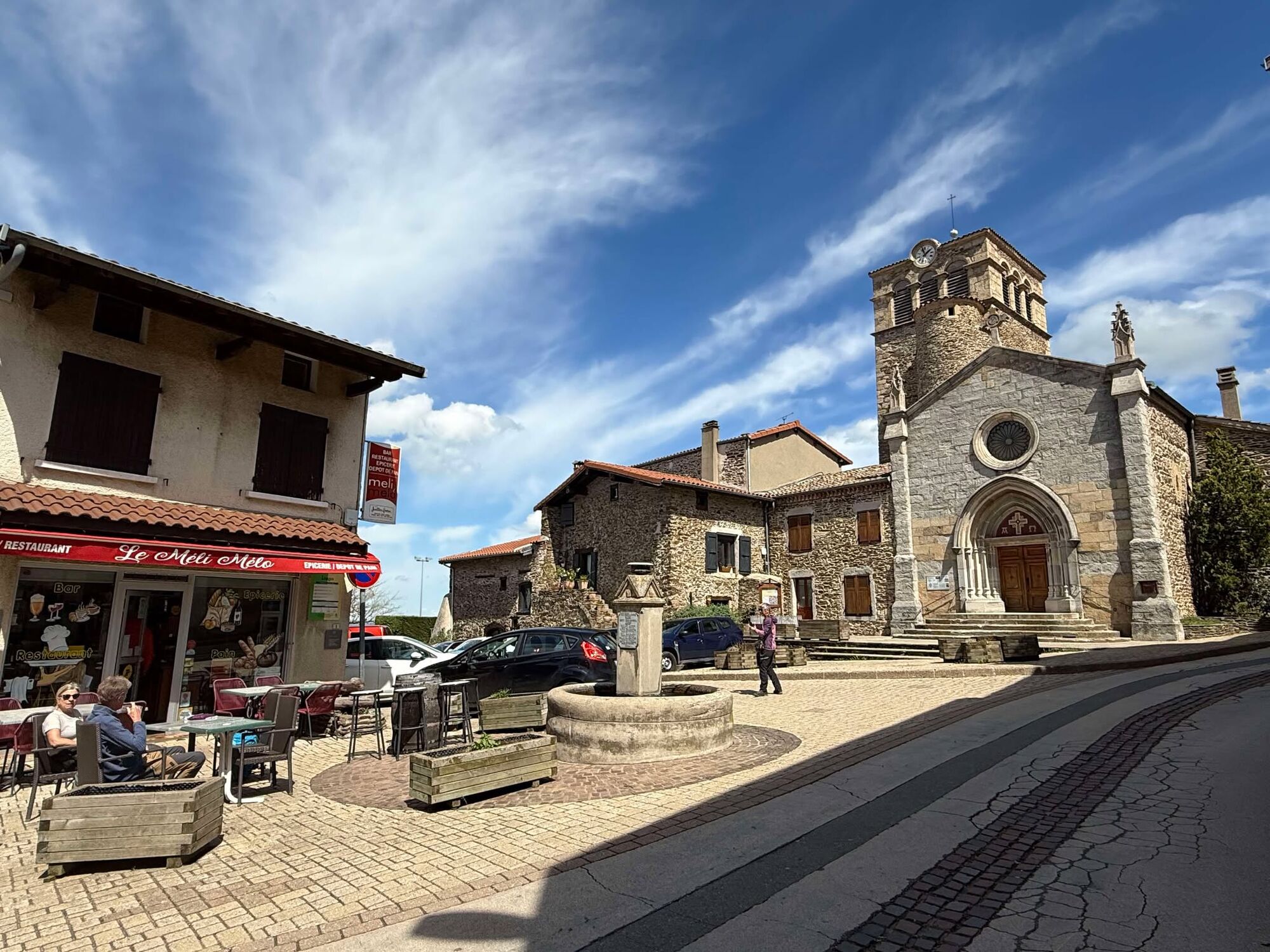
- The charm of stone villages built of gneiss and schist.
A SPECIAL EXPERIENCE:
- At sunrise, enjoy breakfast with a view from Mont Monnet.
- With a pair of binoculars, identify the surrounding landscapes: Mont Ministre to the south-west, the Rhône valley to the east, and the Rhône ravines of Bassemon, Arbuel, Vernon and Vérin.
- On 1 May, passing through Condrieu during the Vins et Rigotte festival: the perfect opportunity to put together a gourmet picnic to take with you on the trails.
- With a Pilat guide, to discover routes off the beaten track.
A LITTLE LOCAL CULTURE:
- Rigotte de Condrieu: a raw milk goat's cheese, born of this land of streams (rigot or rigol in local dialect). Cylindrical and melt-in-the-mouth, with delicate aromas of hazelnut and undergrowth, it pairs beautifully with AOC Condrieu wine. Awarded AOP status in 2013, it perpetuates a tradition passed down by goat farmers and then by merchants known as ‘coquetiers’.
- The Grand'Roches Chapel: perched on the heights of Mont Monnet, this chapel and its statue of the Virgin and Child once watched over the crops. Pilgrimages were organised there to pray for favourable weather.
YOU WILL PARTICULARLY ENJOY:
- Immersing yourself in the Pilat Regional Nature Park, which is wild, agricultural and mountainous all at once.
- Viewpoints offering sweeping panoramic views of the Rhône, Mont Blanc, Mont Ventoux and the Vercors.
- Mont Monnet (781 m), the northernmost point of the Pilat ridge.
- The alternation between deep forests and livestock plateaus where Rigotte goats graze.
- The charm of stone villages built of gneiss and schist.
A SPECIAL EXPERIENCE:
- At sunrise, enjoy breakfast with a view from Mont Monnet.
- With a pair of binoculars, identify the surrounding landscapes: Mont Ministre to the south-west, the Rhône valley to the east, and the Rhône ravines of Bassemon, Arbuel, Vernon and Vérin.
- On 1 May, passing through Condrieu during the Vins et Rigotte festival: the perfect opportunity to put together a gourmet picnic to take with you on the trails.
- With a Pilat guide, to discover routes off the beaten track.
A LITTLE LOCAL CULTURE:
- Rigotte de Condrieu: a raw milk goat's cheese, born of this land of streams (rigot or rigol in local dialect). Cylindrical and melt-in-the-mouth, with delicate aromas of hazelnut and undergrowth, it pairs beautifully with AOC Condrieu wine. Awarded AOP status in 2013, it perpetuates a tradition passed down by goat farmers and then by merchants known as ‘coquetiers’.
- The Grand'Roches Chapel: perched on the heights of Mont Monnet, this chapel and its statue of the Virgin and Child once watched over the crops. Pilgrimages were organised there to pray for favourable weather.
Trasa
Longes
(461 m)
Vesnice
0.0 km
Le Château
(477 m)
Sousedství
0.2 km
Remillieux
(635 m)
Vypořádání
2.4 km
Mont Monnet
(782 m)
Summit
4.7 km
Chassenoud
(567 m)
Vypořádání
7.3 km
Trasa
Mont Monnet and Rigotte de Condrieu
světlo
Turistika
9.39
km
Longes
(461 m)
Vesnice
0.0 km
Le Château
(477 m)
Sousedství
0.2 km
Croix de Longes
(715 m)
Koridor/terén
1.9 km
Remillieux
(635 m)
Vypořádání
2.4 km
Au Père Darbel
(623 m)
Restaurace
3.3 km
Grenouze
(620 m)
Vypořádání
3.5 km
Vierge du Mont Monnet
(774 m)
Koridor/terén
4.7 km
Mont Monnet
(782 m)
Summit
4.7 km
Chassenoud
(567 m)
Vypořádání
7.3 km
La Rochette
(537 m)
Koridor/terén
7.8 km
Le Château
(477 m)
Sousedství
9.3 km
Longes
(461 m)
Vesnice
9.3 km
Autor
Poskytuje Rhône Tourisme
Prohlídku Mont Monnet and Rigotte de Condrieu zajišťuje outdooractive.com.
© Rhône Tourisme
© Rhône Tourisme

© Rhône Tourisme

© Rhône Tourisme

Gipfel Aussicht Mont Monnet
© Julie lfr Rhône Tourisme
© Julie lfr Rhône Tourisme
© Julie lfr Rhône Tourisme
© Syndicat de Défense de l'Appellation Rigotte de Condrieu
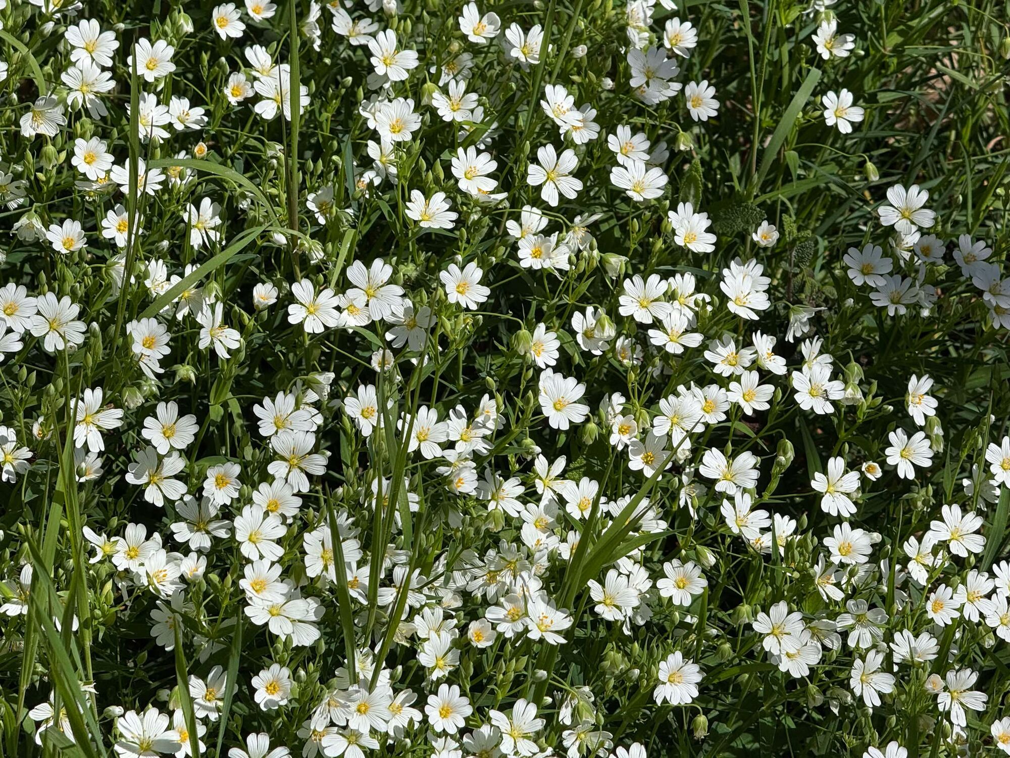
Feld
© Julie lfr Rhône Tourisme

© Julie lfr Rhône Tourisme
© Julie lfr Rhône Tourisme

© Julie lfr Rhône Tourisme
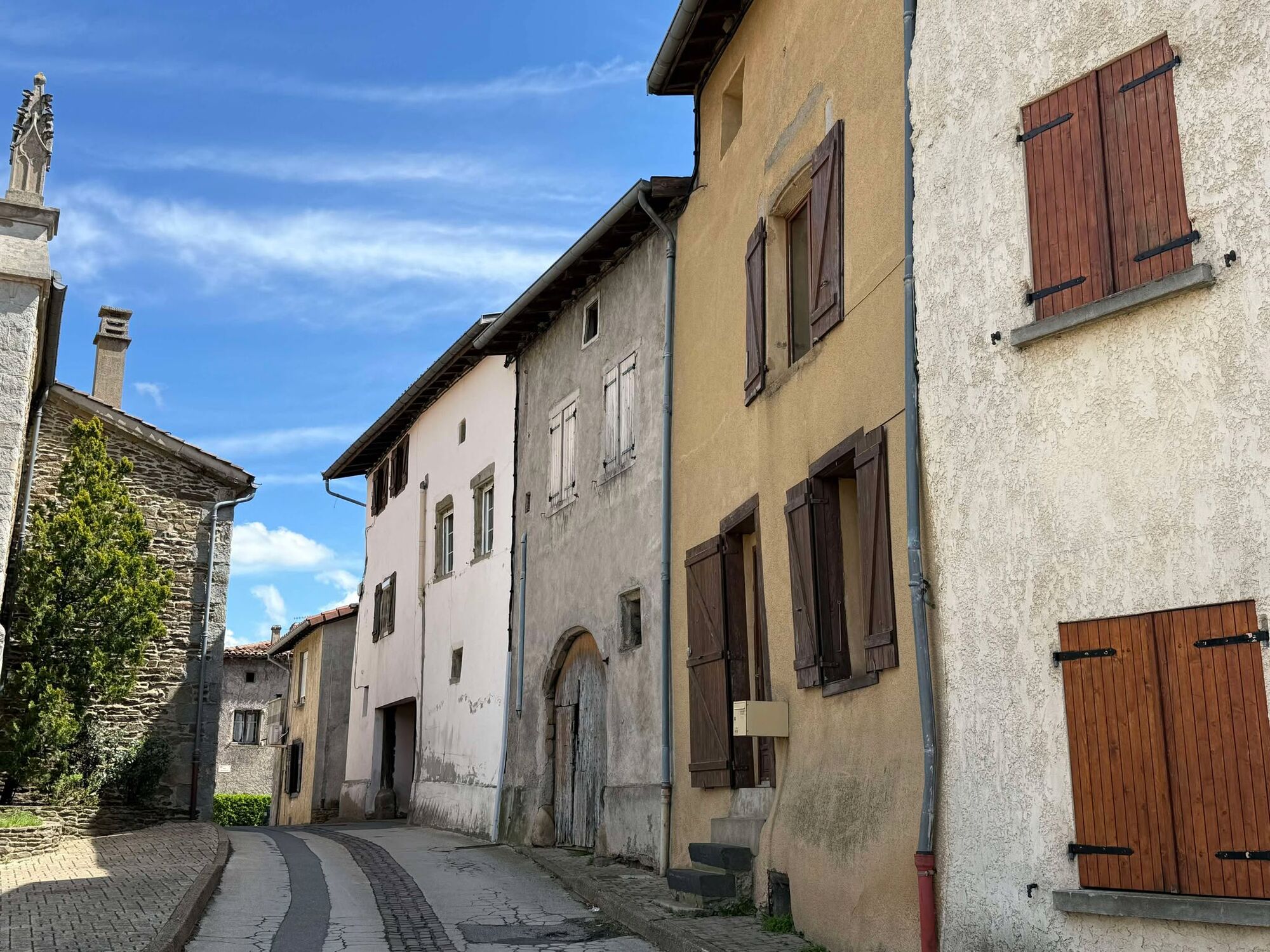
Dorf Longes
© Julie lfr Rhône Tourisme
© Julie lfr Rhône Tourisme
Informace o trase
Vhodné pro rodiny
Ano
Vybavení
Set off hiking with a light spirit
Check the weather Suitable shoes and clothing A light backpack A first aid kit Water and food supplies Go at your own pace Read maps, prepare your routeBezpečnostní pokyny
Emergency phone numbers :
European emergency call number: 112
Emergency medical service (SAMU): 15
Police emergency: 17
Firefighters: 18
Emergency number for deaf and hard of hearing people: 114
Wildlife care center L’Hirondelle: 04 74 05 78 85
French Office for Biodiversity: 04 74 69 49 32
Informace o příjezdu
Příjezd
40 minutes from Lyon, take the A7 and A47 highways.
Parkování
Place de l'Eglise
Další informace a tipy
Další informace
APIDAE Tourism data updated on 03/23/2023 by "Rhône Tourisme".
An error on this sheet? Write to the owner recalling these references:
Sheet name: Mont Monnet and Rigotte de Condrieu - Pilat Rhodanien - Longes | Sheet ID: 5984533 | URL (link) of this Outdooractive page.
An error on this sheet? Write to the owner recalling these references:
Sheet name: Mont Monnet and Rigotte de Condrieu - Pilat Rhodanien - Longes | Sheet ID: 5984533 | URL (link) of this Outdooractive page.
Oceňování
5
(1)
4
(0)
3
(0)
2
(0)
1
(0)
Oblíbené prohlídky v okolí
Sentier des Grand(e)s Cru(e)s
světloTuristika 3.48 kmMTB Route 231 - Les Landes de Montagny
heavyMountainbike 19.9 kmFrom Riverie to the borders of Bozançon - Monts du Lyonnais - Riverie
heavyTuristika 16.1 kmLodges circuit - 16 km
heavyTematická stezka 15.9 kmLodges Circuit - 12 km
heavyTematická stezka 11.4 kmCircuit des loges - 7 km
středníTematická stezka 6.93 kmLe Pilat Rhodanien - Okolo Mont Monnet - Smyčka 1.2
středníSilniční kolo 17.5 kmFrom Arbuel to the hills of Condrieu - Rhône Pilat - Condrieu
světloTuristika 5.49 kmLe Pilat Rhodanien - The Balconies of Pilat Rhodanien - Loop 1.4
heavySilniční kolo 61.5 km- 5.0
Les crêtes du Pilat
světloTuristika 24.4 km

Pěší turistika a stopování

Více než 550.000 návrhů výletů, podrobné mapy a intuitivní plánovač tras dělají z aplikace nezbytnou výbavu pro všechny milovníky přírody.

Nenechte si ujít nabídky a inspiraci pro vaši příští dovolenou
Přihlaste se k odběru newsletteru
Chyba
Došlo k chybě. Zkuste to prosím znovu.Děkujeme za vaši registraci
Vaše e-mailová adresa byl přidán do poštovního seznamu.
Zájezdy po celé Evropě
Rakousko Švýcarsko Německo Itálie Slovenia Francie Nizozemsko Belgie Polsko Lichtenštejnsko Česko Slovensko Španělsko Chorvatsko Bosna a Hercegovina Lucembursko Andorra Portugal Iceland United Kingdom Ireland Greece Albania North Macedonia Malta Norway Montenegro Moldova Kosovo Hungary San Marino Romania Estonia Latvia Belarus Cyprus Lithuania Serbia Bulgaria Monaco Denmark Sweden Finland