







Queen's Walk

Úroveň obtížnosti: T1
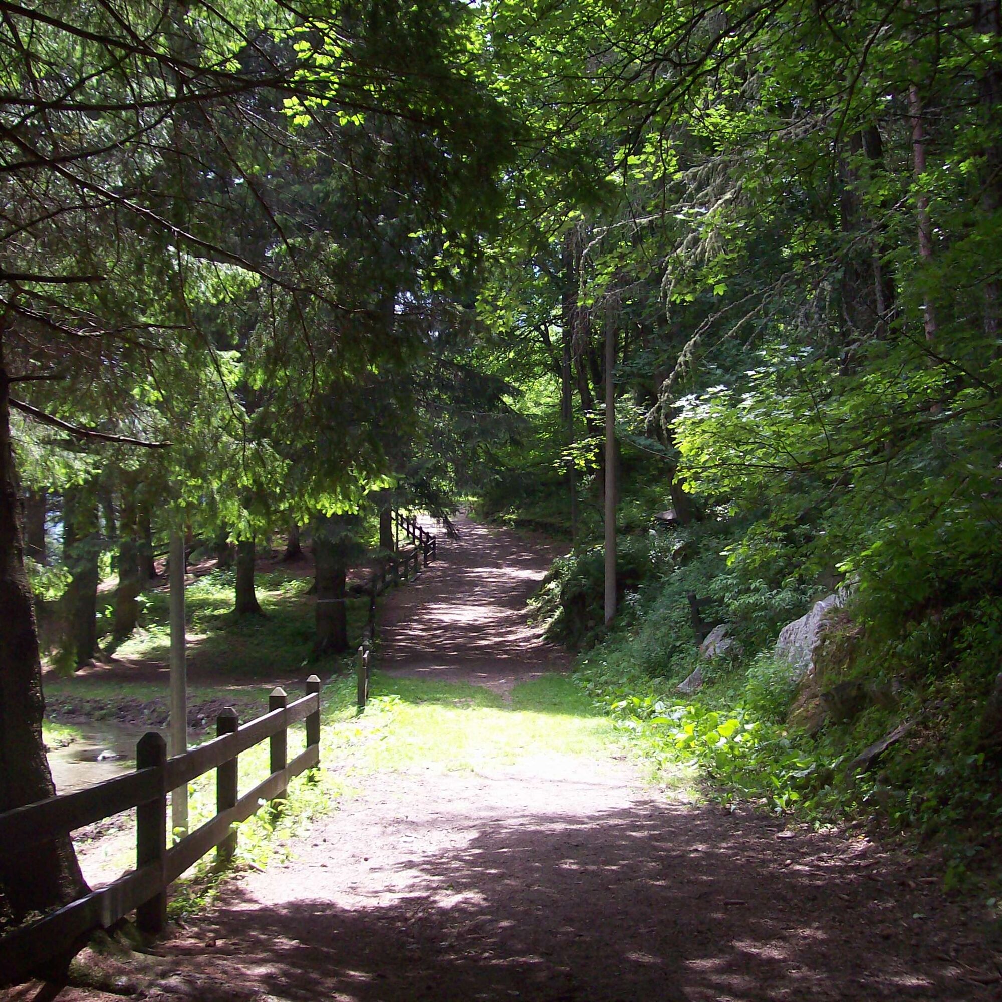
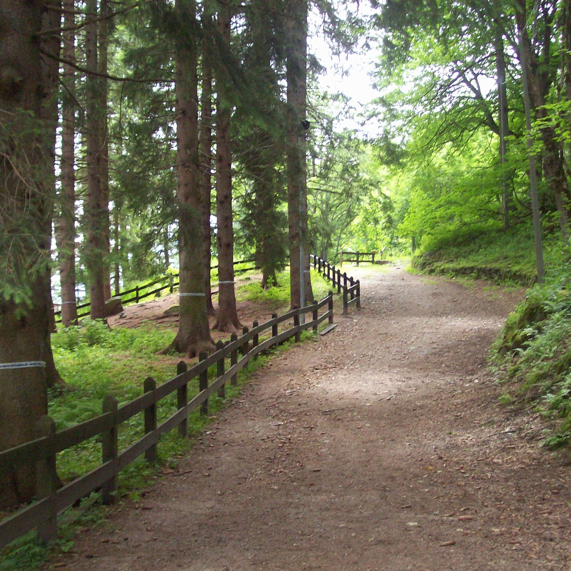
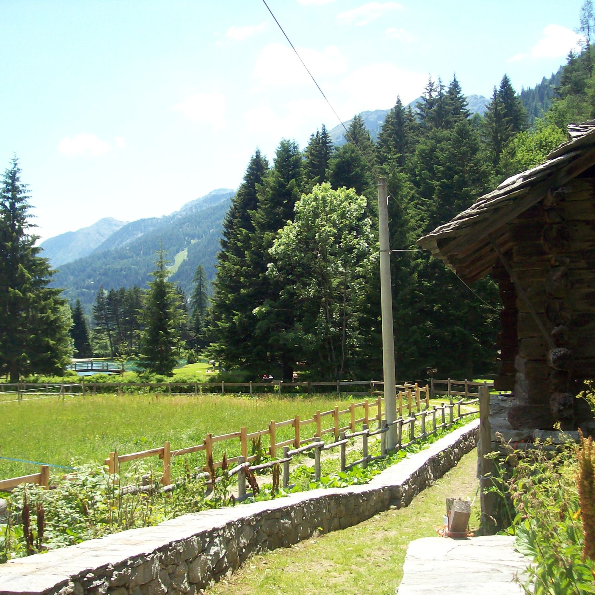
This easy route is called the "Queen's Walk" because it is the path that Queen Margherita of Savoy used to take to go to the center of Gressoney Saint Jean from her summer residence located in the lower...
This easy route is called the "Queen's Walk" because it is the path that Queen Margherita of Savoy used to take to go to the center of Gressoney Saint Jean from her summer residence located in the lower part of the Cialvrino woods, Castel Savoia. The path is flat, quite wide and comfortable, crosses a dense forest and reaches Lake Gover with a wonderful view of Monte Rosa. The comfortable walk continues to the village of Tschemenoal where the path to the village of Alpensu Grande begins.

Ano
Shoes suitable for the mountain.
T1

Oblíbené prohlídky v okolí
-
4.7
Quintino Sella al Felik 16 08 22
středníTuristika 4.42 km -
5.0
Monte Rosa - Signalkuppe
středníVysokohorská turistika 12.7 km -
4.5
Ayas - Piano Delle Dame - Col Portola - Monte Zerbion
heavyTuristika 8.63 km -
Gnifetti hutte - pyramide vincent
světloTuristika 4.08 km -
4.7
Sources of the Lys
středníTuristika 3.38 km -
4.3
Ospizio Sottile
středníTuristika 4.77 km -
4.7
Trail Running sulle 3 vette oltre i 3000m
heavyTrailrunning 16.7 km -
5.0
Alta Luce/Hochliecht
středníTuristika 6.44 km -
4.8
Palon di Resy
středníHorská turistika 9.52 km -
5.0
Monterosa Walser Waeg - 15 Km route
středníTrailrunning 15.1 km
Pěší turistika a stopování


Nenechte si ujít nabídky a inspiraci pro vaši příští dovolenou
Vaše e-mailová adresa byl přidán do poštovního seznamu.





