Welcome to Aeugst am Albis!
Topographically, the municipality consists of two different parts. On the one hand, there is the Aeugstertal with the hamlets located on the upper reaches of the Reppisch and the Türlersee, and on the other, the Aeugsterberg with the village of Aeugst on its south-western slope. The hamlet of Müliberg, which belongs to the valley, connects the two parts of the municipality....
Welcome to Aeugst am Albis!
Topographically, the municipality consists of two different parts. On the one hand, there is the Aeugstertal with the hamlets located on the upper reaches of the Reppisch and the Türlersee, and on the other, the Aeugsterberg with the village of Aeugst on its south-western slope. The hamlet of Müliberg, which belongs to the valley, connects the two parts of the municipality. The lowest point of the municipality lies below the settlement of "Wängibad" in the Jonental valley (536 metres above sea level) and the highest on the crest of the Aeugsterberg (829 metres above sea level). Lake Türler, its shores and the neighbouring landscape areas are of great biological and scenic value and are protected by the canton.
Kontaktujte nás

Lyžařská střediska v okolí
-

Nollen
Luzern - Vierwaldstättersee
-

Skilift Raten
Zürich & Zürich Region
-
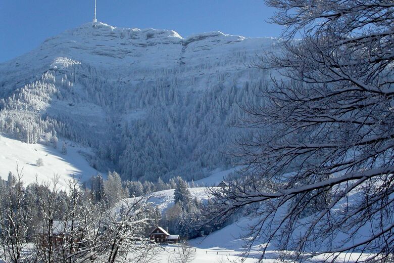
Seebodenalp
Luzern - Vierwaldstättersee
-
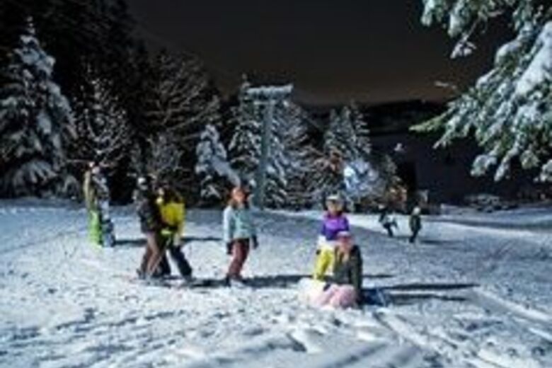
Schnabelsberg
Luzern - Vierwaldstättersee
-
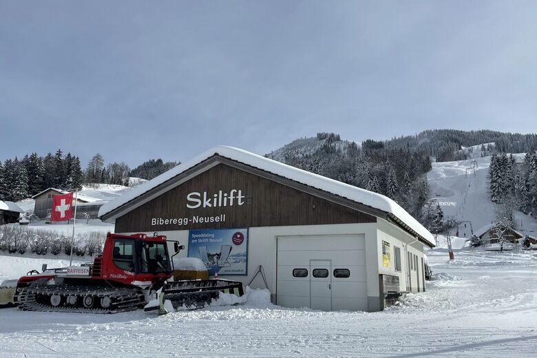
Neusell
Luzern - Vierwaldstättersee
-
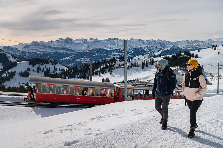
Rigi
Luzern - Vierwaldstättersee
-
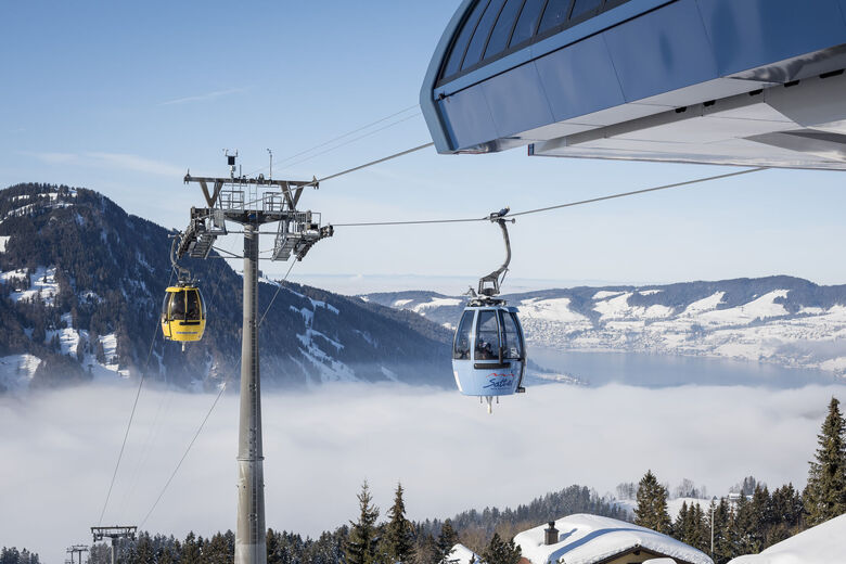
Hochstuckli
Luzern - Vierwaldstättersee
-
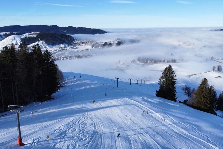
Friherrenberg
Luzern - Vierwaldstättersee
-
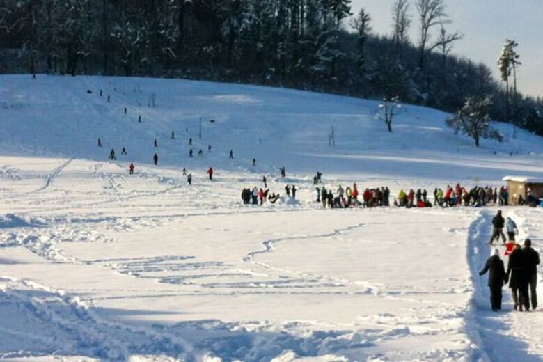
Dicki
Zürich & Zürich Region
-

Steig-Bäretswill
Zürich & Zürich Region


Pěší turistika a stopování




Nenechte si ujít nabídky a inspiraci pro vaši příští dovolenou
Vaše e-mailová adresa byl přidán do poštovního seznamu.





