


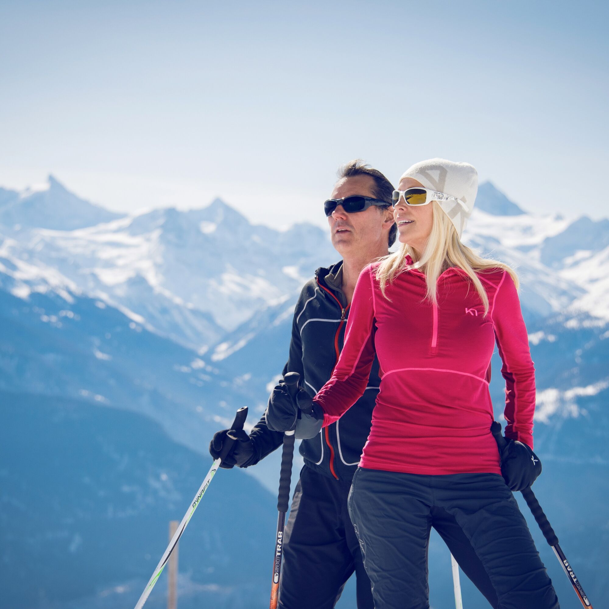
Crans-Montana-Aminona Path
Úroveň obtížnosti: 3
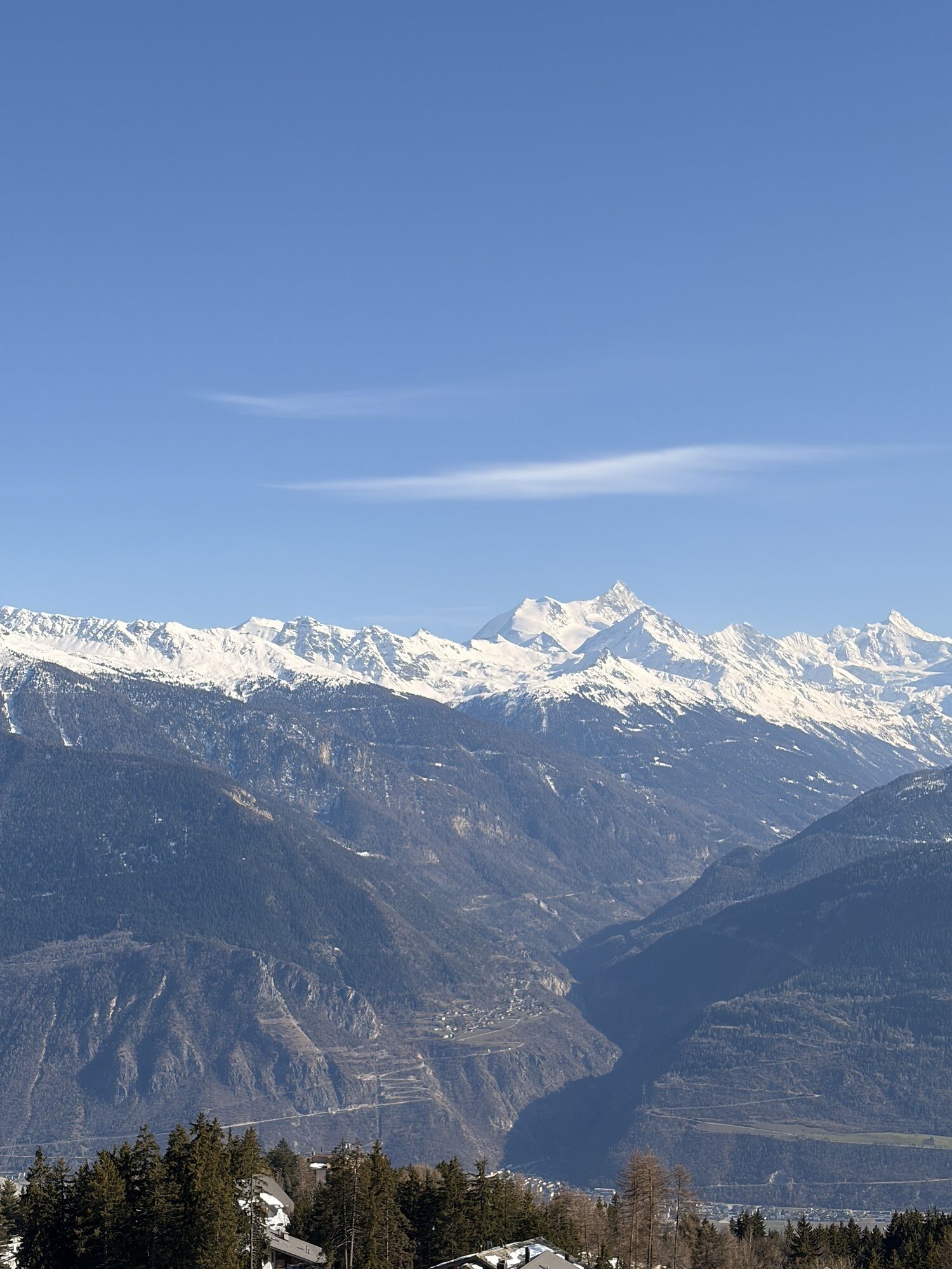
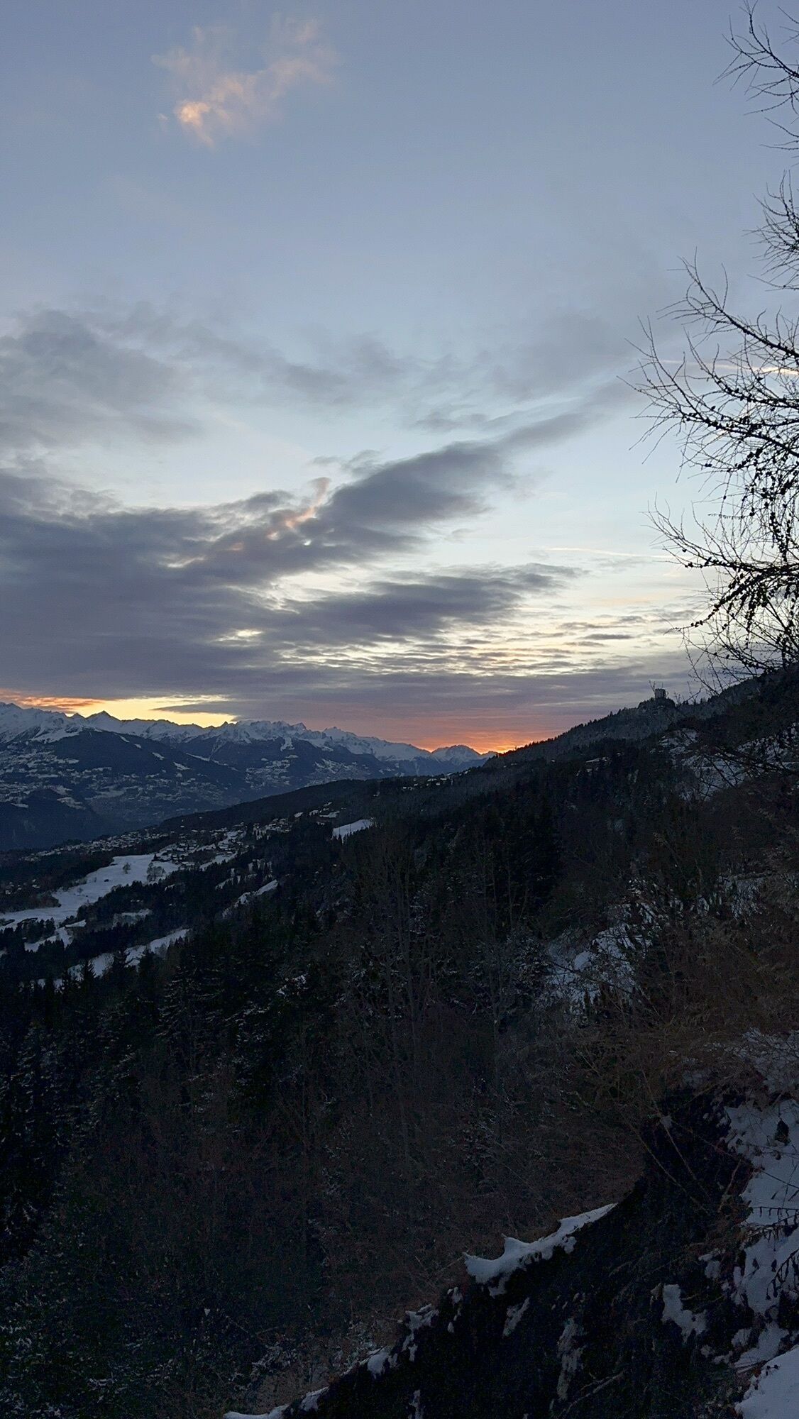
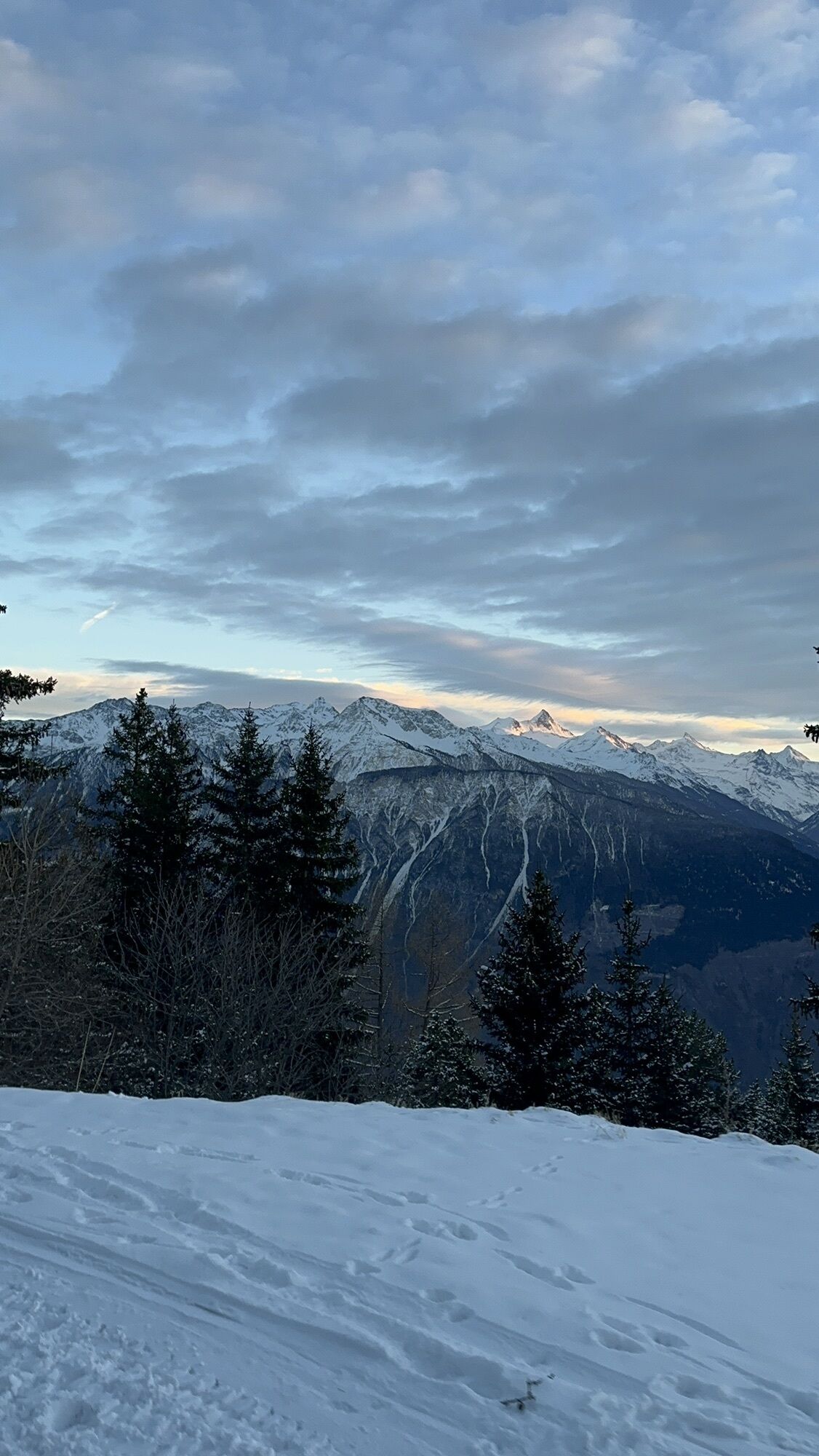
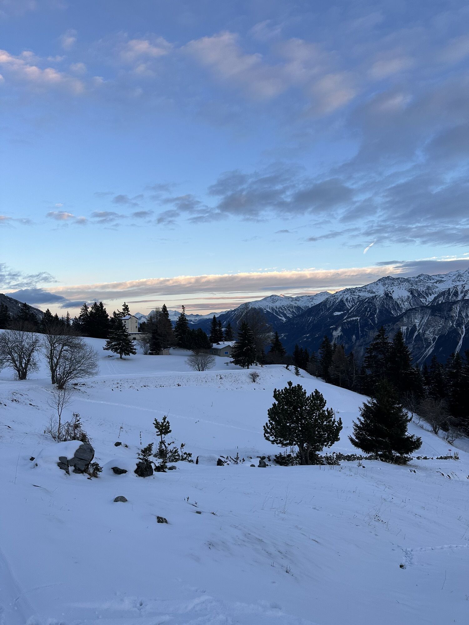
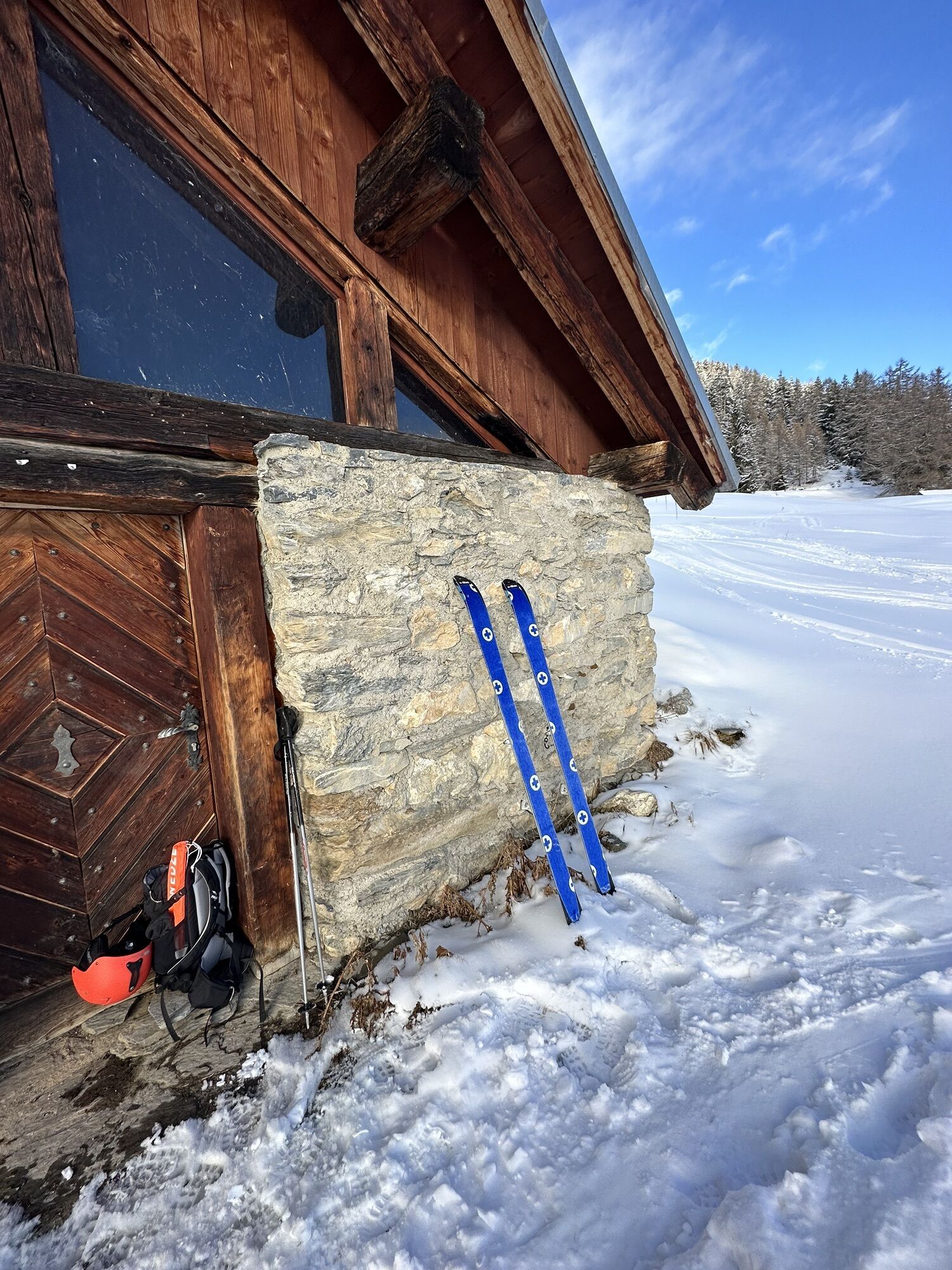
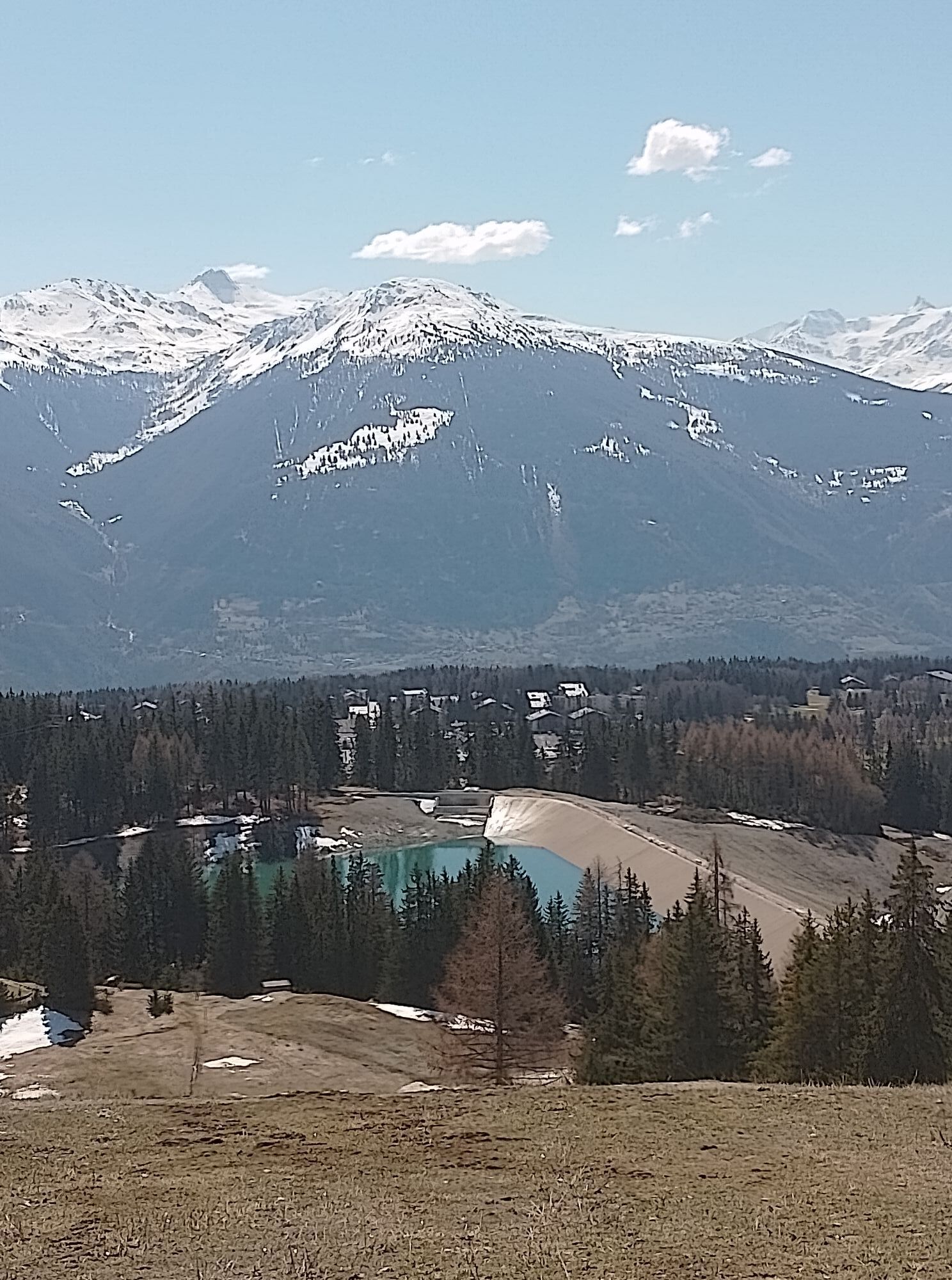
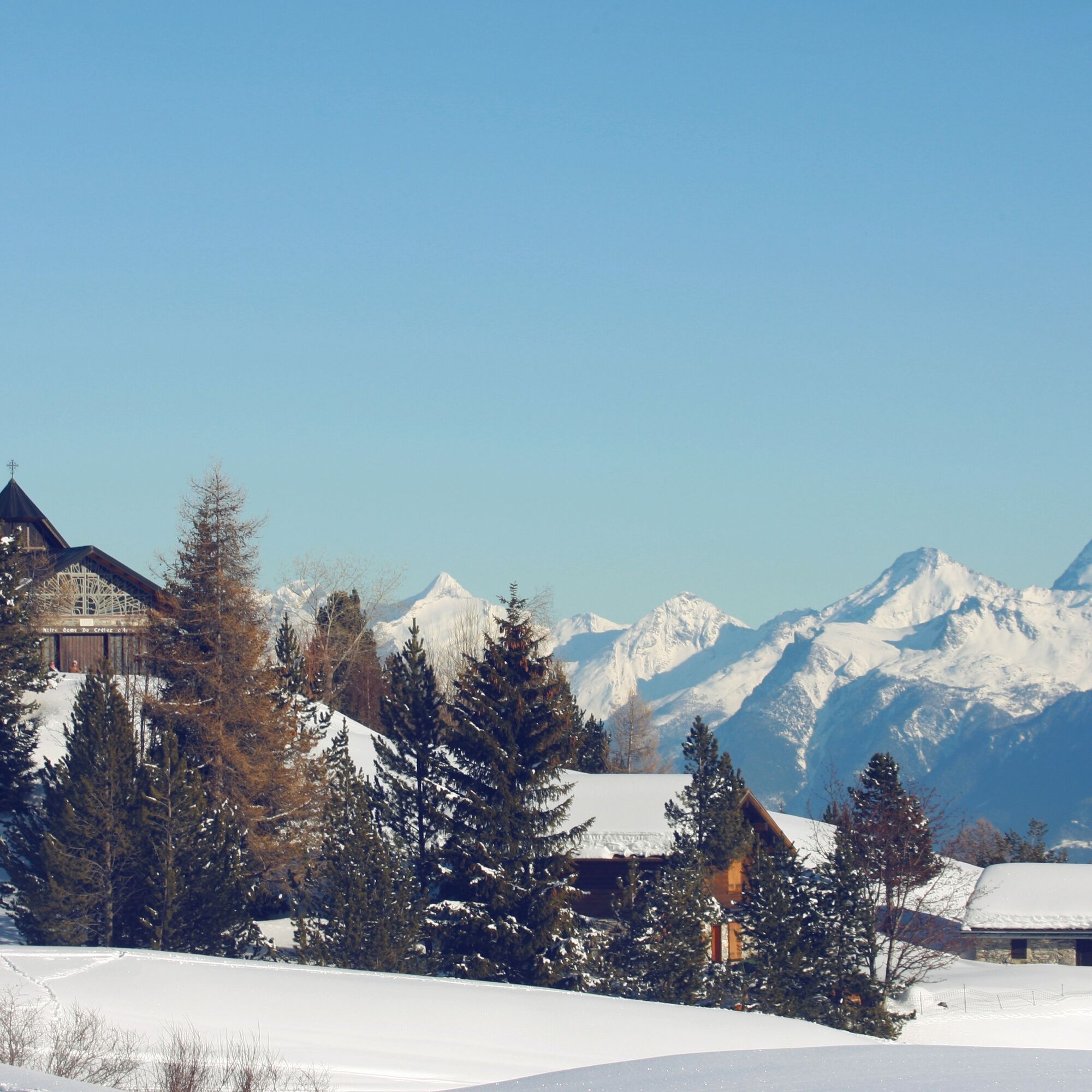
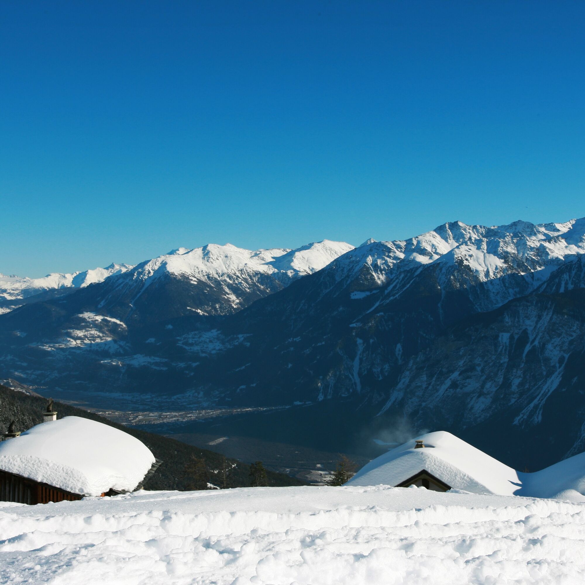
The winter route leads along ski slopes and near several valley stations of the cable cars. Several mountain terraces with southern exposure offer fantastic panorama views.
The route starts with an ascent...
The winter route leads along ski slopes and near several valley stations of the cable cars. Several mountain terraces with southern exposure offer fantastic panorama views.
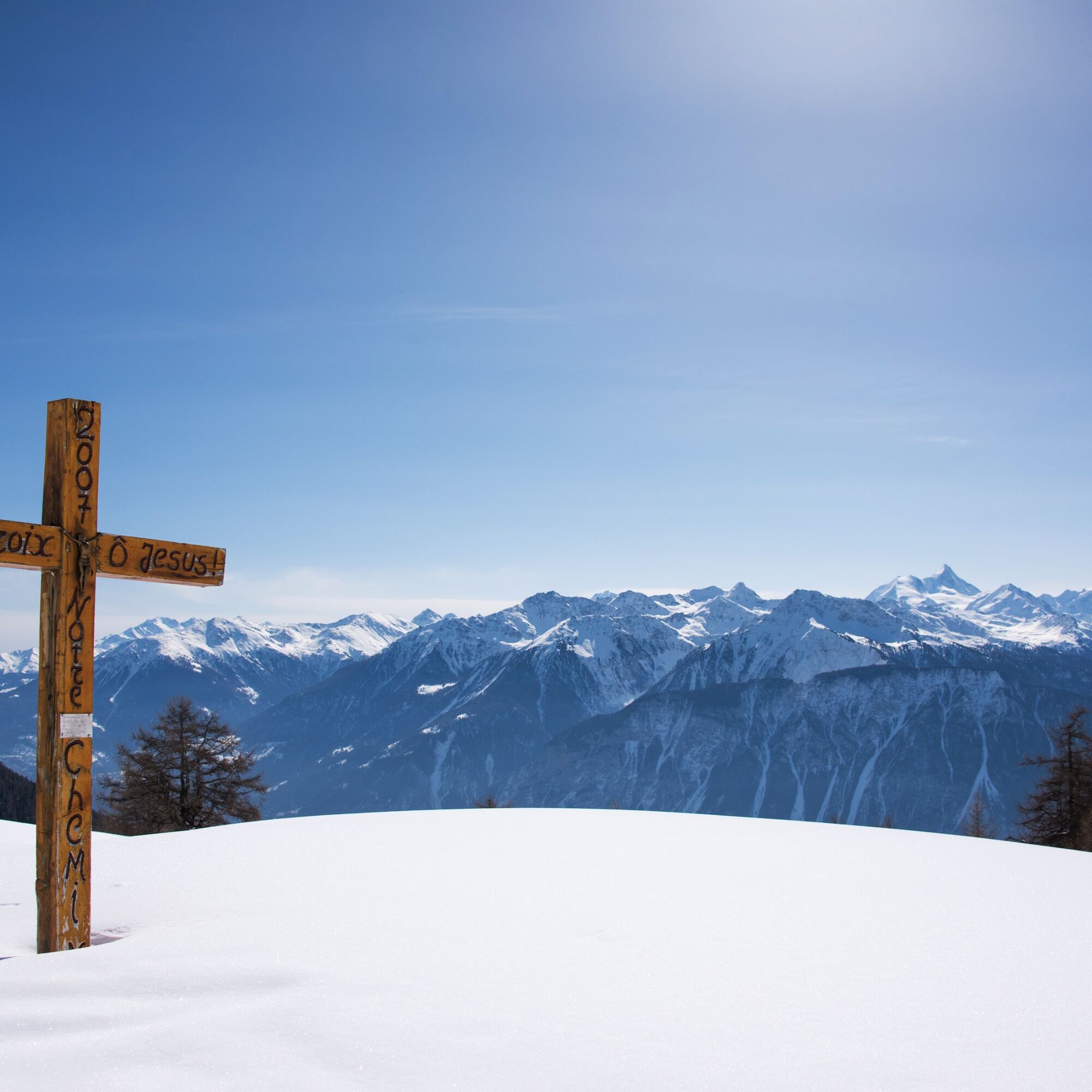
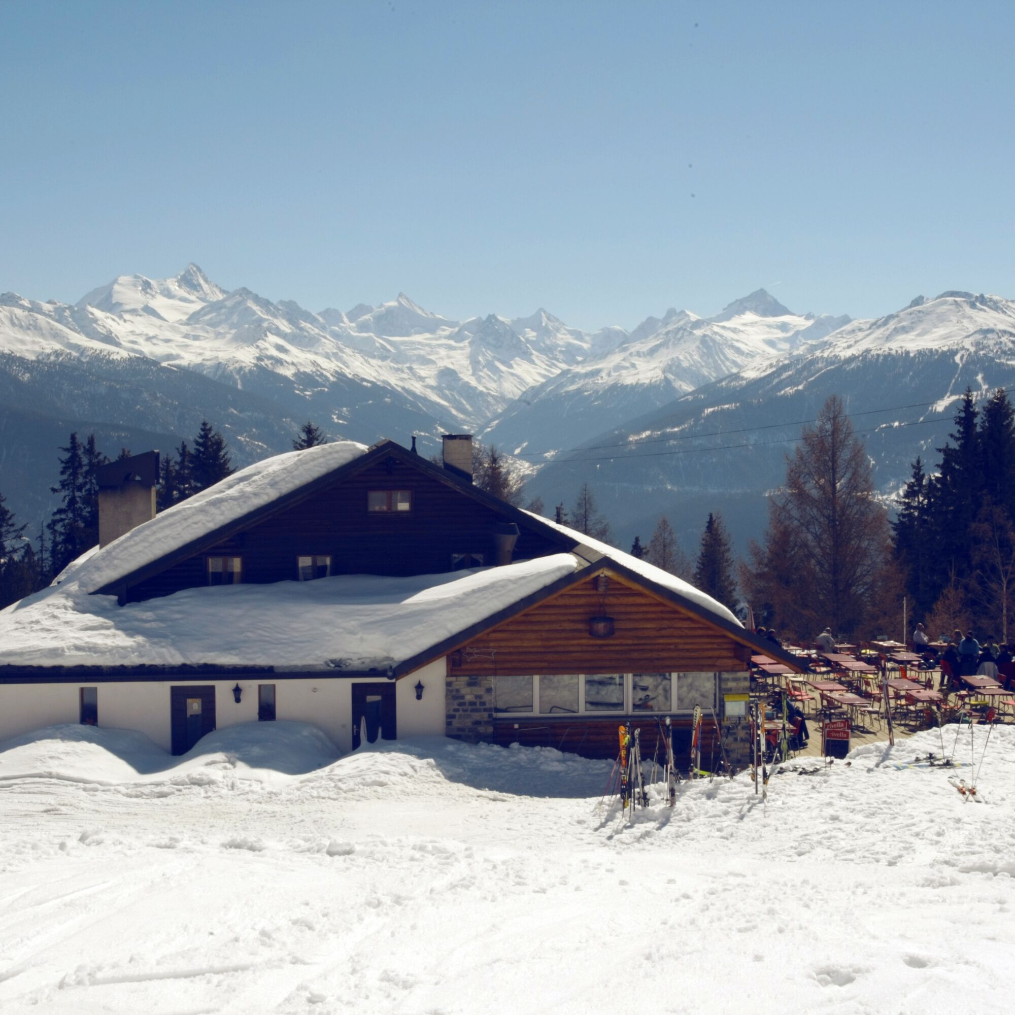
The route starts with an ascent to Plans-Mayens and then leads to Arnouva, where a children's snow area allows the little ones to have their first experiences in the snow. Then the path continues to Vermala with its well-known tower, which you do not have to climb in order to enjoy the view of the opposite four-thousanders and the Rhone valley. To reach the next station Marolires, you cross the well-known Piste Nationale through two tunnels, where the Ski World Championships took place in 1987. Then you arrive at Plumachit, where a large sun terrace invites you to linger, before starting the descent towards Aminona. Shortly before the end of the walk, you pass the idyllic chapel of Aprili. From Aminona, you can comfortably return to Crans-Montana by local bus.


The route starts at Pas de l’Ours and leads via Plans-Mayens to the children's snow area in Arnouva. Then continue the route towards Vermala before reaching Marolires, where you can cross the Piste Nationale through two tunnels. In Plumachit, a large sun terrace awaits before you tackle the final descent to Aminona. You can return to the village center of Crans-Montana by local bus.
We recommend:
Good footwear Weather-dependent (waterproof) and warm clothing Headwear Sunscreen Provisions Camera Walking poles (optional) Printout of the route (click “Print” to download)Use of the winter walking paths and information on this website is at your own risk. Conditions on site may cause changes to the route. Valais/Wallis Promotion takes no responsibility for the accuracy and completeness of the information on this website.
Carry a map. Download the complete route description with a large scale map by clicking “Print” at the top right of the page. Use only marked hiking trails and observe all signposts and instructions – for your own safety, to protect grazing animals, and out of respect for wildlife. Be considerate towards other path users and the landscape. Take your waste and others' waste with you. Carry additional sunscreen. UV rays at high altitudes can be especially strong in winter, even under cloudy skies. Plan your route carefully: consider the required fitness level of all participants, weather forecasts, and seasonal conditions. Weather conditions in the mountains can change very quickly and without warning. Appropriate clothing and sufficient provisions (food and drink) are very important. In unstable weather, better turn back early. Do not venture onto glaciers without a mountain guide. Observe warning signs indicating dangers, especially avalanche risks.Inform third parties about your route and, if possible, never go alone
Take exit Sierre-Ouest from the A9 motorway at Sierre and follow the cantonal road to the center of Crans.
You can reach the starting point by funicular, post bus, or bus connections from Sierre to Crans-Montana. From Sierre railway station, follow the red marking on the ground to reach the funicular. In Crans-Montana, take the local bus to the “Pas de l’Ours” stop.
Parking Régent (Congress Center). Follow the local parking guidance system in Crans.
3
More information about the destination can be found here:
Crans-MontanaThe “Piste Nationale” has been known throughout Switzerland since the downhill race of the Ski World Championships in 1987 took place here. Today, nearby on the Mont-Lachaux slope, women's World Cup races are held.
Oblíbené prohlídky v okolí
- 5.0
Bisse du Ro
světloTuristika 11.2 km - 5.0
Bella-Tola
středníVysokohorská turistika 6.72 km - 4.0
Grand Bisse de Lens
světloTuristika 8.73 km - 4.7
Leukerbad - Gemmipass - Lämmerenhütte
středníTuristika 9.49 km - 5.0
Torrenthorn- Rigi der Walliser Alpen
Turistika 2.99 km - 4.0
Gemmipass - Lämmerenhütte - Rote Totz Lücke - Daubensee - Gemmipass
středníTuristika 13.7 km - 4.0
Tripon - Brac – Ancien Bisse du Torrent Neuf – St. Marguerite – Torrent Neuf – Prafirmin - St. Germain
světloTuristika 12.9 km Gratweg
Via ferrata 5.16 km- 4.0
Wolfstritt
Turistika 7.02 km Talabfahrt (Rinderhütte-Tunnel-Folljeret-Leukerbad)
Turistika 7.78 km
Pěší turistika a stopování


Nenechte si ujít nabídky a inspiraci pro vaši příští dovolenou
Vaše e-mailová adresa byl přidán do poštovního seznamu.